Since Dorothy George’s London Life in the Eighteenth Century (1925) historians have sought to explain East London’s poorer standards of building in the context of custom of the manors of Stepney and Hackney, originating before the Reformation when they belonged to the bishops of London. By one particular custom, copyholders (tenants of manorial land) could grant leases for a maximum of only thirty-one years, risking forfeiture of their copyholds by the lord of Stepney manor if they transgressed. Such short building leases would dissuade tenants from building to proper standards. This explanation was broadly accepted by Alan Palmer, for instance, though he pointed to areas such as Wellclose Square and Swedenborg Gardens as exceptions to the usual lack of pattern. ‘The persistence of the ancient copyhold system of tenure ruled out rich rewards for speculative investment on a large scale … So curious a restraint helped to make land cheaper, but it also favoured the spread of small houses, haphazardly packed into narrow streets.’[1] But Derek Morris has recently pointed out that the 31-year leases could be renewed on the payment of a fine to the lord of the manor. What is more, ‘Local historians have known for many years that while [short leases] may have been the original intention of the lord of the manor, the actual practice was very different. Leases were granted of 66, 99 or 500 years in order to obtain the fines.’ [2] If this is so, the lords of Stepney manor, first the Wentworths and then the Colebrookes, were open to corruption, as they could be induced to break their own rules to authorize development.
From April to October 2016 I was part of the Survey of London’s Whitechapel team, cataloguing records at Tower Hamlets Local History Library and Archives describing property in Whitechapel. This was to enable the Survey to have recourse to as much primary source material as possible, and the descriptions are also available to all users of THLHLA’s online catalogue www.thcatalogue.org.uk. During the cataloguing process I certainly found that long lease terms were not uncommon in the manor of Stepney, in which most of the present-day Borough of Tower Hamlets lay, including the parish of Whitechapel. But they would not have been possible on copyhold land. Tenants’ admissions to and surrenders of copyhold land in the manor are recorded in its court rolls and books, which survive with some gaps from 1318, including an uninterrupted sequence of 88 court books at London Metropolitan Archives dating from 1654 to 1925. It would be almost impossible to indicate on a map of Stepney which land was copyhold at any particular date, because it was so fragmented even by early modern times, and the property descriptions in the court roll are rarely precise enough for accurate location. But those of the corresponding deeds held at Tower Hamlets Archives are easily recognizable as they take the form of copies from the court roll. The cornerstone of Tower Hamlets Archives’ holdings of title deeds is those parts of the private collections of J. Coleman and F. Marcham that related to Stepney, which the Metropolitan Borough purchased in 1909. Among these, there are fifty-four titles to Whitechapel land, with deeds dating from 1589 to 1838, and of them only seven are copyholds. During the course of this project about 650 title deeds have been catalogued, and my impression is that the proportion of copyholds among them would be similar. The remainder are for freehold land, which could have been bought and sold, or leased for unlimited periods.
For instance, land at the east end of Whitechapel High Street and on the Thames foreshore at Limehouse was being leased in the 1580s for 500-year terms by Henry lord Wentworth.[3] As he was lord of Stepney, this land might have been part of the manorial desmesne, and there seemed to be no subsequent restriction on the leaseholders assigning these leases for the remainder of the term, nor about private individuals leasing freehold property for even longer terms. Such long leases of copyhold land would have been impossible, though copyholders could express intentions in their wills to keep it in their family, and even entail it. As for the manorial fine, it was a customary payment to the lord whenever a new manorial tenant was admitted to copyhold land. It should not be regarded as punitive, although elsewhere in the country entry fines are known to have increased during the sixteenth and seventeenth centuries, while rents to the lord were set by custom and remained unchanged.
If the lords of Stepney wished or needed to raise cash from copyholders willing to purchase, they could enfranchise copyhold land, that is, convert it to freehold, long before the Copyhold Act of 1852 allowed tenants to demand this. One major copyholder of the mid eighteenth century was Edward Baynes, who held about sixty plots on the south side of Whitechapel Road and Mile End Road, including the ‘Prince of Orange’s Head’ and the ‘George Inn’ (14 Whitechapel Road). On his death in the 1760s his son was admitted to them but soon surrendered a part, to which a ‘gentleman of the Tower of London’, Anthony Foreman, was then admitted. Sir George Colebrooke, lord of Stepney, then enfranchised it, allowing Foreman to purchase the freehold and then to develop the area of Fieldgate Street and Greenfield Street in a succession of leases to builders.[4] The restrictions of copyhold, then, were generally limited to small pockets of Stepney and could be overcome by legal means. More research on this topic is probably needed: I do not claim to have an informed viewpoint, but would suggest that we may have to look to other causes to explain the pattern of development in the East End. If we suspect the lords of Stepney were open to corruption, we need more evidence, and probably comparisons with the degree to which lords of the manor in other London suburbs adhered to manorial custom.
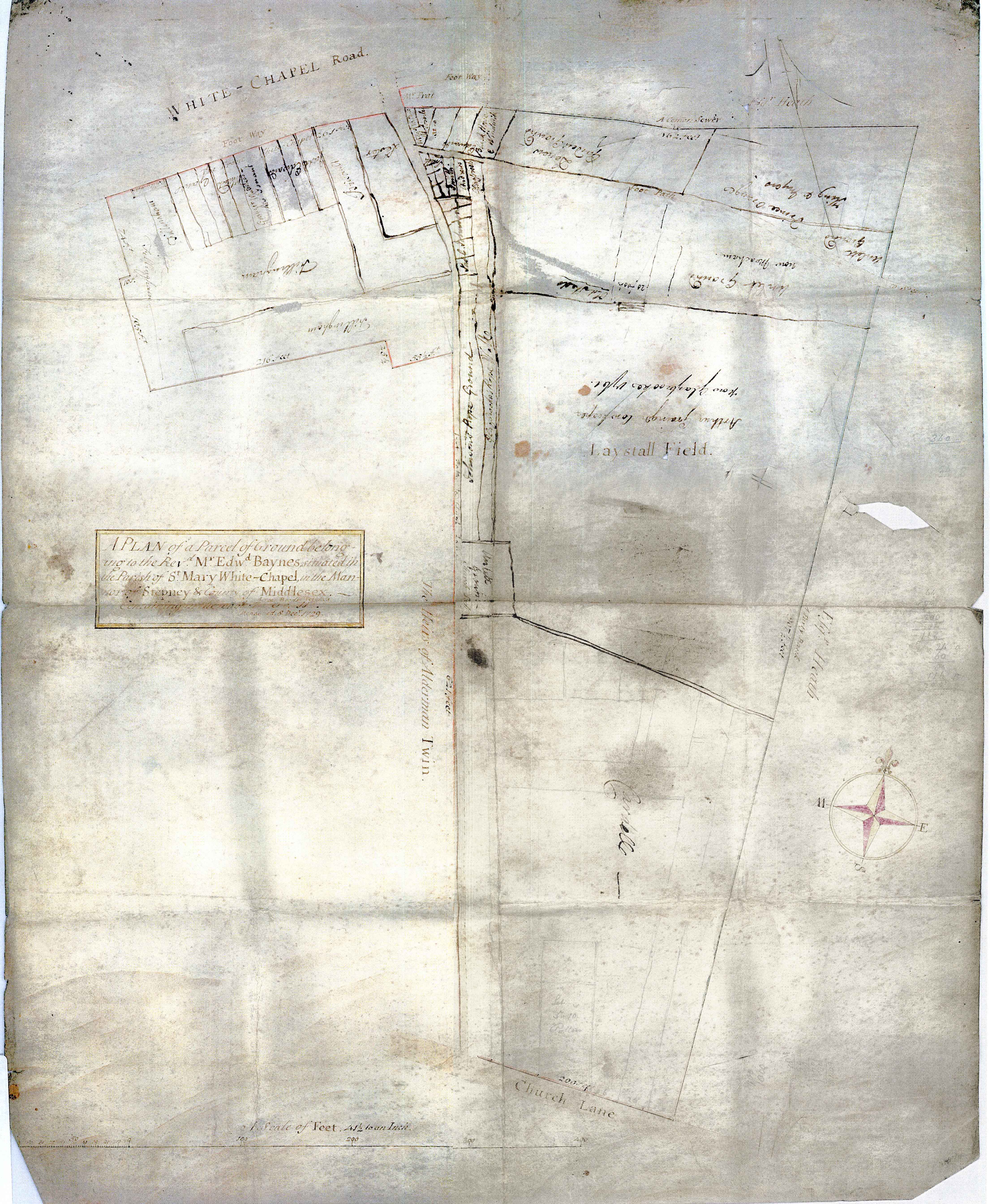
Map of the Baynes Estate in 1729 (Tower Hamlets Local History Library and Archives)
1 - Alan Palmer, The East End: Four Centuries of London Life (London, 1989, rev. edn, 2000), pp. 16–17.
2 - Derek Morris, Whitechapel 1600–1800: a social history of an early modern London inner suburb (East London History Society, 2011), p. 5.
3 - Tower Hamlets Local History Library and Archives (THLHLA), P/SLC/1/17/3–4.
At the end of November we held a successful storytelling evening at the Greatorex Community Centre in Whitechapel. The event was hosted by Spark London, a dynamic storytelling collective, and was part of the Being Human Festival of the Humanities.
We heard true stories from people who had lived, worked or passed through these streets. Memories ranged from playing as children in abandoned swimming pools, to finding the best Irish Pub in London. Our own Survey historians recounted stories from the characters of Whitechapel's past.
A memorable time was had by all, and we extend our thanks for all of our particpants, to Spark London, and to the Being Human Festival.
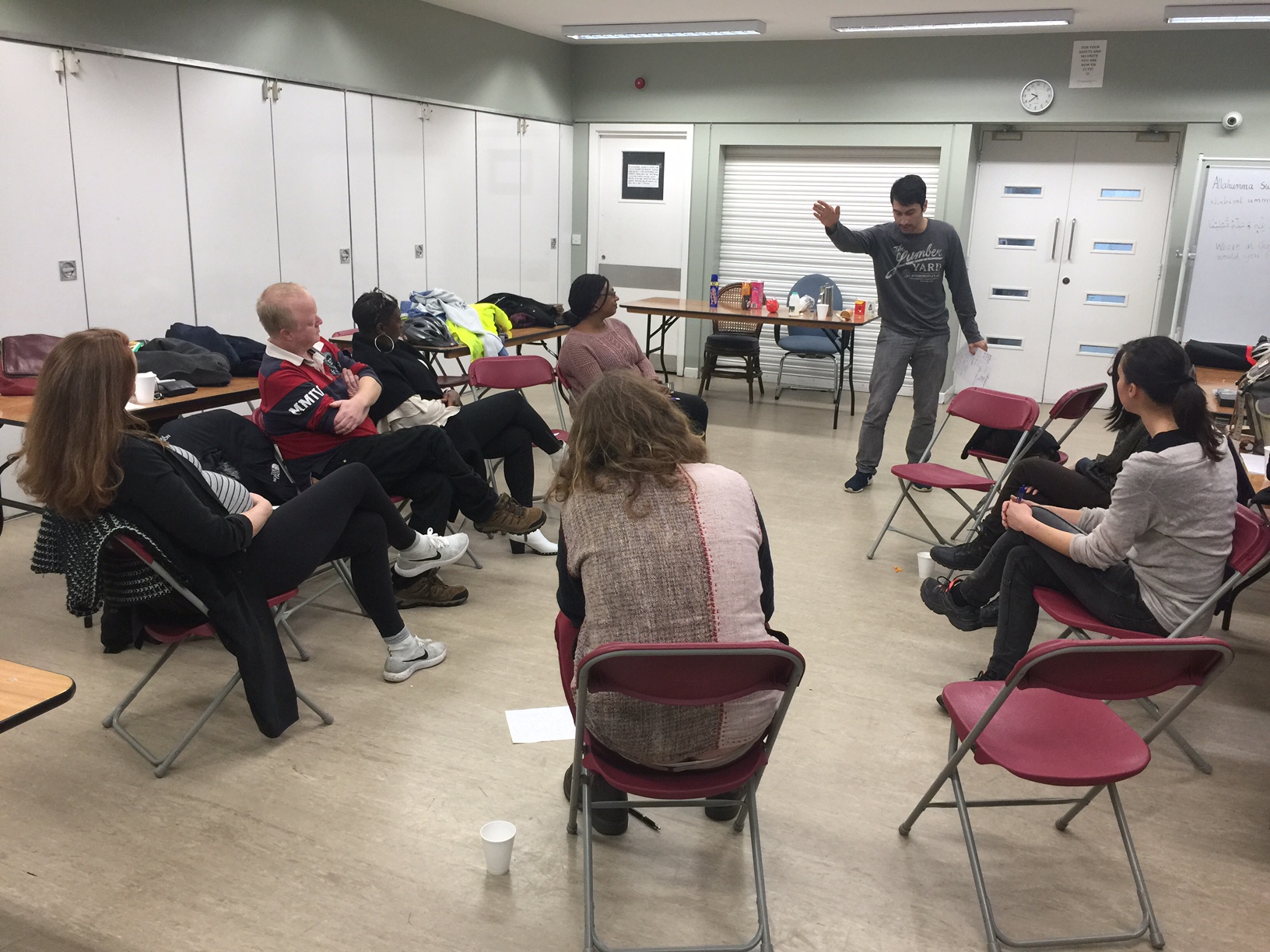
On November 5th we hosted a gathering of historians at the Idea Store who are working on a range of local history interests about Whitechapel and the surrounding streets.
The participants presented ideas for future research and work in progress, which gave us a fascinating afternoon of ideas and conversation.
The presentations started with Sigrid Werner talking about Whitechapel's lost German heritage, and how a thriving community suffered internment and dislocation at the outbreak of WW1. Christine Wagg then outlined the history of the Peabody Trust and the Whitechapel Estate, as well as touching on her own family history in Whitechapel. Photographer Tamara Stoll showed enigmatic images of Wentworth Street during moments of silence, as part of her work in progress using photography to describe place. The first session was concluded with Julie Begum telling us about the history of the Swadhinata Trust, set up 16 years ago to explore and narrate local Bengali history.
The second session was equally diverse, Marion Vargaftig demonstrated the In My Footsteps project which allowed people to connect personal histories to place through their own walking tours. Rebecca Preston presented early research for a project on the history of the animal market on Sclater Street, active right up to the 1970s. Graham Barker described an upcoming workshop he will run where participants will research the brewing heritage of the East End, where there are said to have been 270 breweries, most of which have gone. Saif Osmani, whose paintings are on display in Stratford this month, talked about how he overlaps art and social activism. We finished with Philip Mernick's collection of charity tokens, and Carole Zeidman's history of Wilton's Music Hall.
Many thanks again to all who participated in an enriching afternoon revealing the depth and range of the histories of the East End.
A storyteller practices at the storytelling workshop that we hosted with Spark London last week. The participants were preparing to tell their stories at the Storytelling Evening that we are hosting on the 25th November at the Micro Business Park, Greatorex Street.
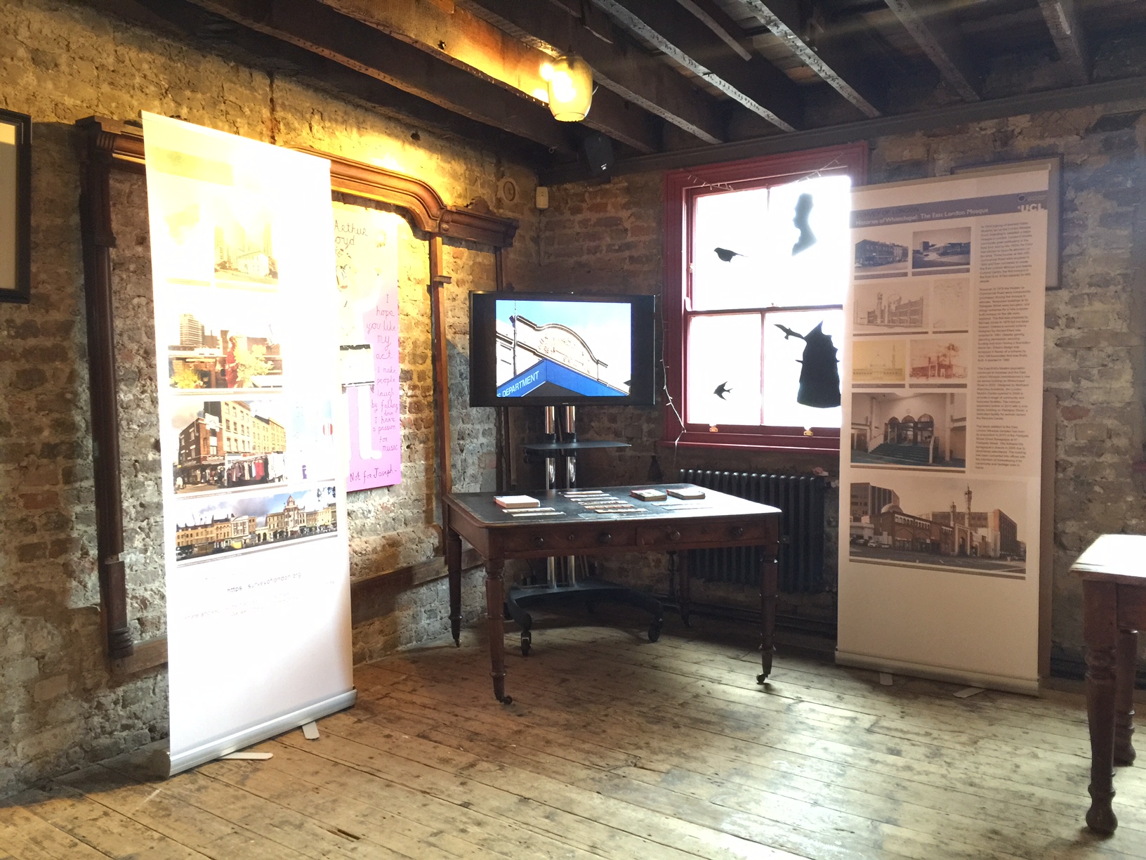
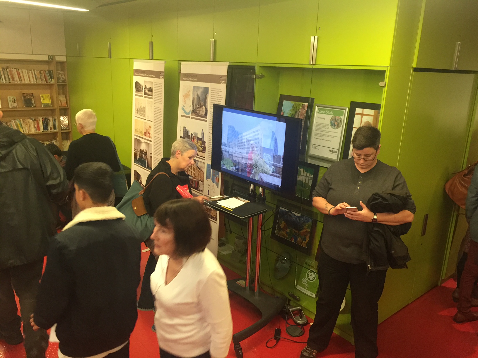
In October and November we exhibited our project at local events in Whitechapel, firstly at the Gateway to the World weekend at Wilton's Music hall, and then at the Write Idea Festival at the Idea Store.
The displays generated interest and engagment from attendees, and we hope will lead to more contributions revealing unknown histories.
This weekend, 22/23 October, you can come and see some of the work that's been going on on the Whitechapel Project when a small exhibitions of photographs, drawings and information is going up at Wilton's Music Hall as part of their Scene in Time event. Here are a couple of examples as a taster. There will also be a slideshow of still and moving images we've gathered, made or taken for the project.
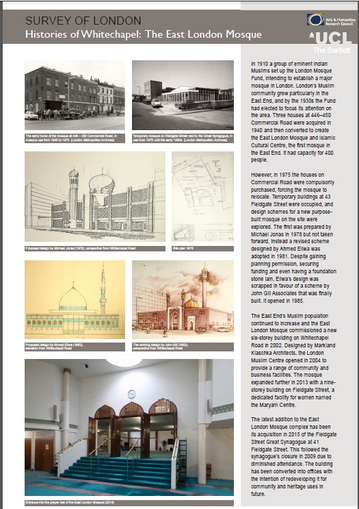
After 22/23 October it will be on show at the East London Mosque on Whitechapel Road, where you will be very welcome.
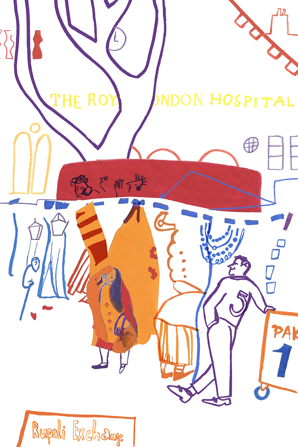
To help to get our website off to a lively start we commissioned Judit Ferencz, a graphic artist and PhD student at the Bartlett School of Architecture, to illustrate some peopled outdoor places in Whitechapel - Altab Ali Park, the market on Whitechapel Road, and the playground at the centre of Whitechapel's Peabody Estate. Judit has given us five beautifully observed images, all to be found in place on our map, and gathered together here. We are pleased in addition to tell our readers that Judit is the recipient of this year’s RIBA LKE Ozolin Award:
Thank you to all of you who came on our first Histories of Whitechapel walk last Saturday, organised through the Whitechapel Gallery. We enjoyed meeting and talking with so many interesting people with diverse associations with the area.
The walk started at the Whitechapel Gallery, crossed over to Altab Ali Park, into St Boniface German RC Church where the priest gave us a fantastic summary of its history, then into the East London Mosque to see the prayer hall and watch the beekeepers tending the hives on the roof, over to the Royal London Hospital before cutting down to Commercial Road, Wellclose Square and finishing at Wilton's Music Hall, stopping at some key buildings en route.
If you have any ideas for our next walk, or would like to help lead one, please do get in touch
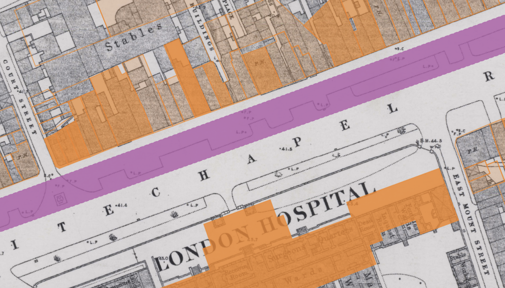
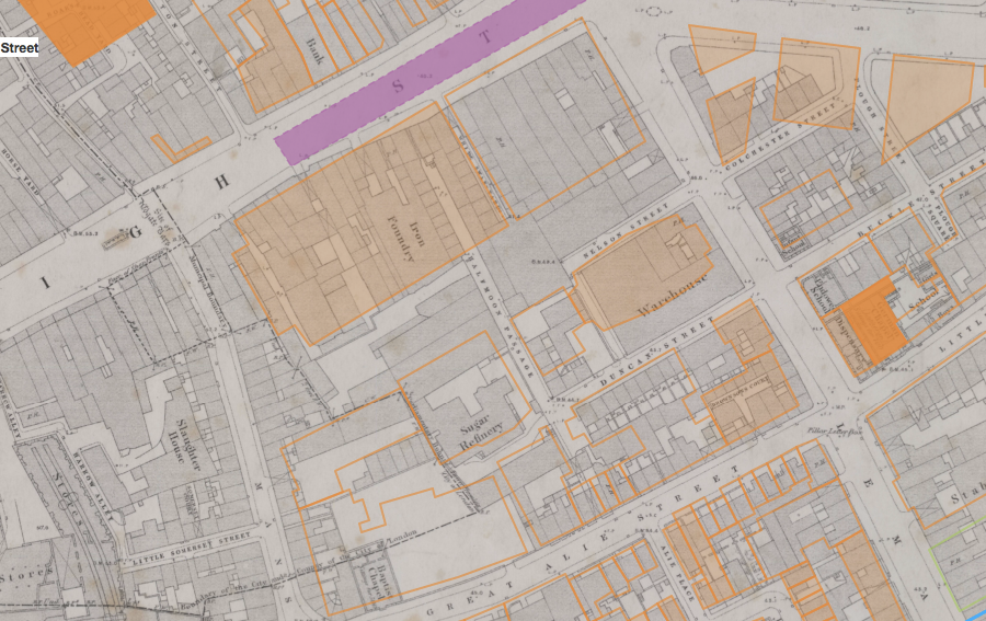
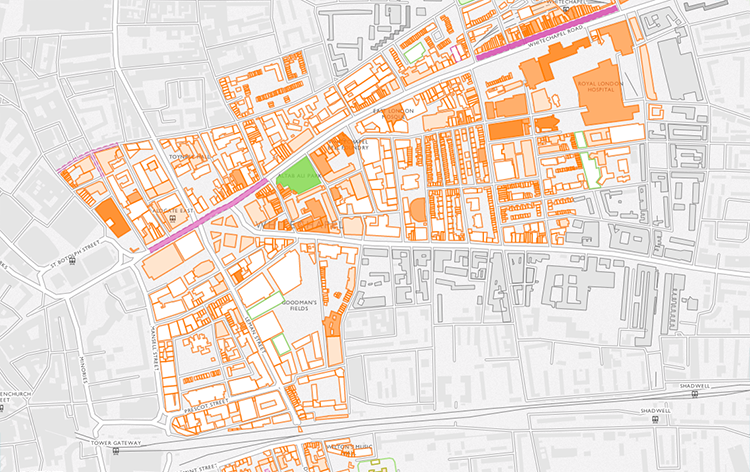
One of the quirks of copyright is that even if an old map is well out of its copyright term, reproductions of that map automatically become the copyright of whoever made the copy. So that whilst it’s possible for academics to download and view old maps from the University of Edinburgh’s Digimap collections (https://digimap.edina.ac.uk/) for research purposes, it’s not possible to put them online for others to view. We have two historic map layers available on Histories of Whitechapel: the Rocque map of 1746 and the 1873 Ordnance Survey, donated by the Institute of Historical Research (http://www.history.ac.uk/) and Tower Hamlets Local History Library and Archives (https://www.ideastore.co.uk/local-history) respectively.
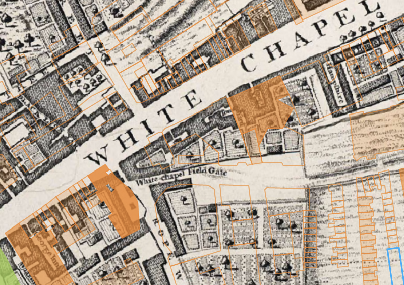
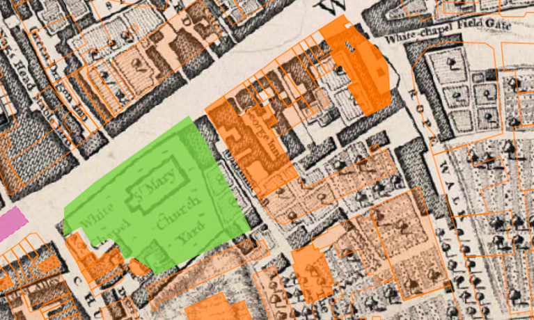
The Rocque Map scan was produced for the Locating London’s Past project (https://www.locatinglondon.org/), and the process by which it was created was quite involved due to the age of the map sheets and the way they were made. You can read about the process on their blog https://locatinglondonspast.wordpress.com/2011/06/22/recreating-rocque-london-1746/. We’ve published just a small excerpt on the Histories of Whitechapel map. There are some lovely details: taking a look at the area around East London Mosque, it seems quite likely that Fieldgate Street is so called because it was the street that led to the fields:
14 Whitechapel Road, Currently Haji Nanna Biryani, which the Survey have identified as formerly being the George public house, constructed c.1881, is on the site of an even older building, the George Inn. This suggests that food and drink have been served on this site for at least 270 years:
The 1873 Ordnance Survey map was provided by Tower Hamlets Local History Library and Archives, who are in possession of a complete set of this edition for the borough. Unlike the Rocque, we had to scan and georeference this ourselves. The map sheets (each around 1000x800mm) were scanned using a sheet-feed map scanner by Nick Mann at UCL, and then retouched in Photoshop. From here they were imported into QGIS (http://www.qgis.org/en/site/) and georeferenced, which involves matching up points on the scan with the contemporary street network. We used our building footprints (see https://surveyoflondon.org/blog/2016/how-we-made-map/) as our reference.
For some areas this was easier than in others: along Whitechapel Road, many of the original shop frontages are still in place, and pubs (easily identified by the 'P.H.' on the OS map), even if no longer being used for their original purpose, are in many cases still there. However, other areas (for example around Aldgate), have seen huge changes since the 1880s, and it’s trickier to align the old map with the new.
One of the nicest things about our 1873 OS layer is that the particular copies Tower Hamlets Local History Library and Archives lent us have obviously been heavily used. Some of the sheets are in quite poor condition: the south-western area of the study area (around the Royal Mint Estate, towards the Tower of London) in particular is quite tatty, and in places you can see where it’s been torn and taped to hold it together:
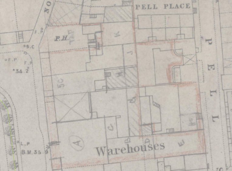
In other places it’s been annotated, for example on this area by Wellclose Square:
The buildings these marks refer to are gone, and we don’t know what the annotations mean, but it’s a nice illustration of the way that the historic maps aren’t just useful in that we can use them to see what’s changed between then and now, but are tangible documents whose condition testifies to their history of ownership and use.
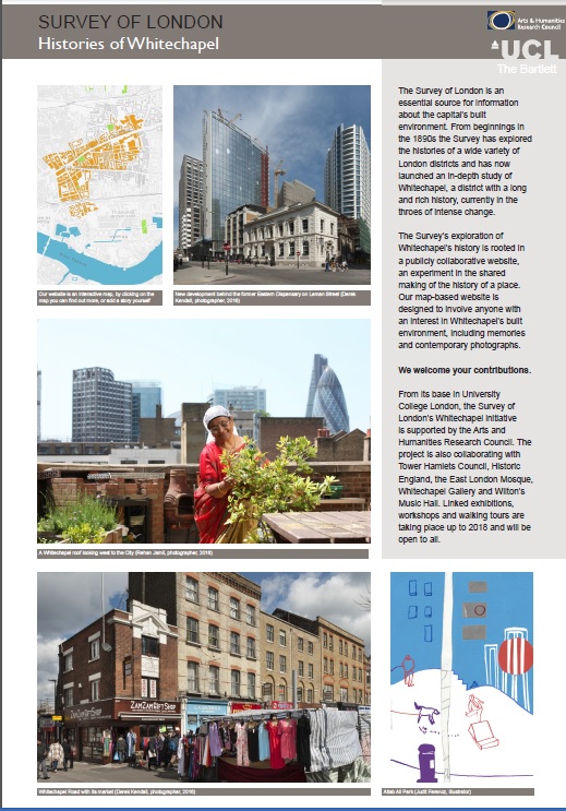
It’s an exciting day for us at the Survey of London and CASA, as we’re proud to have officially launched the Histories of Whitechapel website. As well as providing a new interactive map for exploring the Survey’s ongoing research into Whitechapel, we’re inviting people to submit their own memories, research, photographs, and videos of the area to help us uncover Whitechapel’s long and rich history.
The site has been developed at The Bartlett between the Survey of London and the Centre for Advanced Spatial Analysis, with support from the Arts and Humanities Research Council (AHRC). You can download the full press release here.
This is a new venture for the Survey of London and CASA, and we’re looking forward to watching the site grow with contributions from the public. To start exploring Whitechapel’s history or to contribute your own knowledge of the area, visit the map at https://surveyoflondon.org/map/.