HTTP 200 OK
Allow: GET, HEAD, OPTIONS
Content-Type: application/json
Vary: Accept
{
"count": 1747,
"next": "https://surveyoflondon.org/api/v1/images/?format=api&page=71",
"previous": "https://surveyoflondon.org/api/v1/images/?format=api&page=69",
"results": [
{
"id": 1652,
"title": "Toynbee Hall, dining room in 2018",
"author": {
"id": 27,
"username": "DerekKendall"
},
"feature": {
"id": 379,
"type": "Feature",
"geometry": {
"type": "MultiPolygon",
"coordinates": [
[
[
[
-0.072397829403071,
51.51669736298538
],
[
-0.072397829775652,
51.51669737370259
],
[
-0.072432640663459,
51.51673265247548
],
[
-0.072358283763003,
51.51675511998594
],
[
-0.072392345089312,
51.51679900052574
],
[
-0.072279169019407,
51.51681120129116
],
[
-0.072260832658385,
51.516791637982884
],
[
-0.07220017871295,
51.51681376750612
],
[
-0.07215893969634,
51.516769768915125
],
[
-0.072119241451839,
51.51677664825232
],
[
-0.071934651446851,
51.5165549241745
],
[
-0.071985260710591,
51.51653955484268
],
[
-0.072028895096668,
51.51652682786407
],
[
-0.072014842692988,
51.516508073517755
],
[
-0.072098254454469,
51.51648373796318
],
[
-0.072052675375786,
51.51643004607134
],
[
-0.072144607110911,
51.516401673048335
],
[
-0.072314904588685,
51.51634652520951
],
[
-0.072358068161013,
51.516398410711595
],
[
-0.072522445522427,
51.51634491903885
],
[
-0.072499976579174,
51.51631804154615
],
[
-0.072499959446261,
51.51631804712155
],
[
-0.072499965346341,
51.51631803831239
],
[
-0.072579515746657,
51.51629075531372
],
[
-0.072667639265209,
51.516403182536045
],
[
-0.072427304765486,
51.5164813923298
],
[
-0.072385415219988,
51.51643128370629
],
[
-0.072387162242999,
51.516433383744854
],
[
-0.072107982084202,
51.516523791132904
],
[
-0.072157544605501,
51.51658336890495
],
[
-0.072272128891629,
51.51654626302576
],
[
-0.072397829403071,
51.51669736298538
]
]
]
]
},
"properties": {
"b_number": "28 ",
"b_name": "Toynbee Hall",
"street": "Commercial Street",
"address": "Toynbee Hall, 28 Commercial Street",
"feature_type": "WHITECHAPEL_BUILDING",
"count": 21,
"search_str": "Toynbee Hall"
},
"tags": []
},
"file": "https://surveyoflondon.org/media/uploads/features/379/SoL%20Whitechapel%20102177.jpg",
"description": "",
"copyright": true,
"created": "2019-09-03"
},
{
"id": 1618,
"title": "Wombat's, Ensign Street elevation from the southeast in 2019",
"author": {
"id": 27,
"username": "DerekKendall"
},
"feature": {
"id": 1385,
"type": "Feature",
"geometry": {
"type": "MultiPolygon",
"coordinates": [
[
[
[
-0.067575803709333,
51.51021492278667
],
[
-0.067783647338447,
51.51017527172947
],
[
-0.067828706900756,
51.510167293395675
],
[
-0.067884358000762,
51.51028332470727
],
[
-0.068021222270461,
51.51026117174896
],
[
-0.068027105232624,
51.51027869995762
],
[
-0.068059007104689,
51.51027341168682
],
[
-0.068045803249401,
51.51025517119752
],
[
-0.068185711037114,
51.51022956959143
],
[
-0.068302205657116,
51.51049311218949
],
[
-0.068154065018083,
51.51051508999573
],
[
-0.068142111677326,
51.51048931210634
],
[
-0.068158013519995,
51.51048782991857
],
[
-0.0680993992664,
51.51035372697415
],
[
-0.068063773094401,
51.51035895389879
],
[
-0.068055396596396,
51.510336723241444
],
[
-0.067963562571312,
51.510349163498944
],
[
-0.067961653646245,
51.510339150568754
],
[
-0.067909585576321,
51.510347692789416
],
[
-0.067933270683552,
51.5104044774377
],
[
-0.067674158297256,
51.51045078856997
],
[
-0.067629160671485,
51.51036923447038
],
[
-0.067652633918951,
51.51036497018876
],
[
-0.067575803709333,
51.51021492278667
]
]
]
]
},
"properties": {
"b_number": "7",
"b_name": "",
"street": "Dock Street",
"address": "Wombat's City Hostel, 7 Dock Street",
"feature_type": "WHITECHAPEL_BUILDING",
"count": 25,
"search_str": "Wombat's City Hostel, 7 Dock Street"
},
"tags": []
},
"file": "https://surveyoflondon.org/media/uploads/features/1385/SoL%20Whitechapel%20102852.jpg",
"description": "",
"copyright": true,
"created": "2019-05-16"
},
{
"id": 1606,
"title": "1-7 Prescot Street, former Co-operative Wholesale Society offices, from the northeast in 2019",
"author": {
"id": 27,
"username": "DerekKendall"
},
"feature": {
"id": 1286,
"type": "Feature",
"geometry": {
"type": "MultiPolygon",
"coordinates": [
[
[
[
-0.069793489547983,
51.511271968219916
],
[
-0.069965917865997,
51.51168028661196
],
[
-0.069243122619495,
51.51179800135946
],
[
-0.069187619352883,
51.51178700909154
],
[
-0.068924065744909,
51.51144633157197
],
[
-0.069110518275552,
51.511389634471044
],
[
-0.069125928884571,
51.51138051294904
],
[
-0.069793489547983,
51.511271968219916
]
],
[
[
-0.069773263237786,
51.511528283268085
],
[
-0.069730353342622,
51.51143265236416
],
[
-0.069244663174936,
51.511517503411056
],
[
-0.069318177103272,
51.51160868474515
],
[
-0.069773263237786,
51.511528283268085
]
]
]
]
},
"properties": {
"b_number": "1-7",
"b_name": "",
"street": "Prescot Street",
"address": "1-7 Prescot Street",
"feature_type": "WHITECHAPEL_BUILDING",
"count": 12,
"search_str": "1-7 Prescot Street"
},
"tags": [
"Co-operative Wholesale Society",
"L. G. Ekins"
]
},
"file": "https://surveyoflondon.org/media/uploads/features/1286/SoL%20Whitechapel%20102832.jpg",
"description": "",
"copyright": true,
"created": "2019-05-16"
},
{
"id": 1607,
"title": "1-7 Prescot Street, doorway detail",
"author": {
"id": 27,
"username": "DerekKendall"
},
"feature": {
"id": 1286,
"type": "Feature",
"geometry": {
"type": "MultiPolygon",
"coordinates": [
[
[
[
-0.069793489547983,
51.511271968219916
],
[
-0.069965917865997,
51.51168028661196
],
[
-0.069243122619495,
51.51179800135946
],
[
-0.069187619352883,
51.51178700909154
],
[
-0.068924065744909,
51.51144633157197
],
[
-0.069110518275552,
51.511389634471044
],
[
-0.069125928884571,
51.51138051294904
],
[
-0.069793489547983,
51.511271968219916
]
],
[
[
-0.069773263237786,
51.511528283268085
],
[
-0.069730353342622,
51.51143265236416
],
[
-0.069244663174936,
51.511517503411056
],
[
-0.069318177103272,
51.51160868474515
],
[
-0.069773263237786,
51.511528283268085
]
]
]
]
},
"properties": {
"b_number": "1-7",
"b_name": "",
"street": "Prescot Street",
"address": "1-7 Prescot Street",
"feature_type": "WHITECHAPEL_BUILDING",
"count": 12,
"search_str": "1-7 Prescot Street"
},
"tags": [
"Co-operative Wholesale Society",
"L. G. Ekins"
]
},
"file": "https://surveyoflondon.org/media/uploads/features/1286/SoL%20Whitechapel%20102835.jpg",
"description": "",
"copyright": true,
"created": "2019-05-16"
},
{
"id": 1608,
"title": "1-7 Prescot Street, elevational detail",
"author": {
"id": 27,
"username": "DerekKendall"
},
"feature": {
"id": 1286,
"type": "Feature",
"geometry": {
"type": "MultiPolygon",
"coordinates": [
[
[
[
-0.069793489547983,
51.511271968219916
],
[
-0.069965917865997,
51.51168028661196
],
[
-0.069243122619495,
51.51179800135946
],
[
-0.069187619352883,
51.51178700909154
],
[
-0.068924065744909,
51.51144633157197
],
[
-0.069110518275552,
51.511389634471044
],
[
-0.069125928884571,
51.51138051294904
],
[
-0.069793489547983,
51.511271968219916
]
],
[
[
-0.069773263237786,
51.511528283268085
],
[
-0.069730353342622,
51.51143265236416
],
[
-0.069244663174936,
51.511517503411056
],
[
-0.069318177103272,
51.51160868474515
],
[
-0.069773263237786,
51.511528283268085
]
]
]
]
},
"properties": {
"b_number": "1-7",
"b_name": "",
"street": "Prescot Street",
"address": "1-7 Prescot Street",
"feature_type": "WHITECHAPEL_BUILDING",
"count": 12,
"search_str": "1-7 Prescot Street"
},
"tags": [
"Co-operative Wholesale Society",
"L. G. Ekins"
]
},
"file": "https://surveyoflondon.org/media/uploads/features/1286/SoL%20Whitechapel%20102836.jpg",
"description": "",
"copyright": true,
"created": "2019-05-16"
},
{
"id": 1609,
"title": "1-7 Prescot Street, brickwork detail",
"author": {
"id": 27,
"username": "DerekKendall"
},
"feature": {
"id": 1286,
"type": "Feature",
"geometry": {
"type": "MultiPolygon",
"coordinates": [
[
[
[
-0.069793489547983,
51.511271968219916
],
[
-0.069965917865997,
51.51168028661196
],
[
-0.069243122619495,
51.51179800135946
],
[
-0.069187619352883,
51.51178700909154
],
[
-0.068924065744909,
51.51144633157197
],
[
-0.069110518275552,
51.511389634471044
],
[
-0.069125928884571,
51.51138051294904
],
[
-0.069793489547983,
51.511271968219916
]
],
[
[
-0.069773263237786,
51.511528283268085
],
[
-0.069730353342622,
51.51143265236416
],
[
-0.069244663174936,
51.511517503411056
],
[
-0.069318177103272,
51.51160868474515
],
[
-0.069773263237786,
51.511528283268085
]
]
]
]
},
"properties": {
"b_number": "1-7",
"b_name": "",
"street": "Prescot Street",
"address": "1-7 Prescot Street",
"feature_type": "WHITECHAPEL_BUILDING",
"count": 12,
"search_str": "1-7 Prescot Street"
},
"tags": [
"Co-operative Wholesale Society",
"L. G. Ekins"
]
},
"file": "https://surveyoflondon.org/media/uploads/features/1286/SoL%20Whitechapel%20102839.jpg",
"description": "",
"copyright": true,
"created": "2019-05-16"
},
{
"id": 1615,
"title": "18 Ensign Street from the southeast in 2019",
"author": {
"id": 27,
"username": "DerekKendall"
},
"feature": {
"id": 1370,
"type": "Feature",
"geometry": {
"type": "MultiPolygon",
"coordinates": [
[
[
[
-0.067783647338447,
51.51017527172947
],
[
-0.067575803709333,
51.51021492278667
],
[
-0.067558594183028,
51.510218286467044
],
[
-0.067466520880171,
51.51002935056337
],
[
-0.06767269738543,
51.509992670709266
],
[
-0.067723633842387,
51.510108640950456
],
[
-0.067752148490552,
51.510104986424565
],
[
-0.067783647338447,
51.51017527172947
]
]
]
]
},
"properties": {
"b_number": "18",
"b_name": "",
"street": "Ensign Street",
"address": "18 Ensign Street",
"feature_type": "WHITECHAPEL_BUILDING",
"count": 8,
"search_str": "18 Ensign Street"
},
"tags": [
"Board of Trade",
"John Hudson",
"merchant navy",
"Walter Gladding"
]
},
"file": "https://surveyoflondon.org/media/uploads/features/1370/SoL%20Whitechapel%20102849.jpg",
"description": "",
"copyright": true,
"created": "2019-05-16"
},
{
"id": 1616,
"title": "18 Ensign Street in 2019",
"author": {
"id": 27,
"username": "DerekKendall"
},
"feature": {
"id": 1370,
"type": "Feature",
"geometry": {
"type": "MultiPolygon",
"coordinates": [
[
[
[
-0.067783647338447,
51.51017527172947
],
[
-0.067575803709333,
51.51021492278667
],
[
-0.067558594183028,
51.510218286467044
],
[
-0.067466520880171,
51.51002935056337
],
[
-0.06767269738543,
51.509992670709266
],
[
-0.067723633842387,
51.510108640950456
],
[
-0.067752148490552,
51.510104986424565
],
[
-0.067783647338447,
51.51017527172947
]
]
]
]
},
"properties": {
"b_number": "18",
"b_name": "",
"street": "Ensign Street",
"address": "18 Ensign Street",
"feature_type": "WHITECHAPEL_BUILDING",
"count": 8,
"search_str": "18 Ensign Street"
},
"tags": [
"Board of Trade",
"John Hudson",
"merchant navy",
"Walter Gladding"
]
},
"file": "https://surveyoflondon.org/media/uploads/features/1370/SoL%20Whitechapel%20102850.jpg",
"description": "",
"copyright": true,
"created": "2019-05-16"
},
{
"id": 1617,
"title": "18 Ensign Street from the northeast in 2019",
"author": {
"id": 27,
"username": "DerekKendall"
},
"feature": {
"id": 1370,
"type": "Feature",
"geometry": {
"type": "MultiPolygon",
"coordinates": [
[
[
[
-0.067783647338447,
51.51017527172947
],
[
-0.067575803709333,
51.51021492278667
],
[
-0.067558594183028,
51.510218286467044
],
[
-0.067466520880171,
51.51002935056337
],
[
-0.06767269738543,
51.509992670709266
],
[
-0.067723633842387,
51.510108640950456
],
[
-0.067752148490552,
51.510104986424565
],
[
-0.067783647338447,
51.51017527172947
]
]
]
]
},
"properties": {
"b_number": "18",
"b_name": "",
"street": "Ensign Street",
"address": "18 Ensign Street",
"feature_type": "WHITECHAPEL_BUILDING",
"count": 8,
"search_str": "18 Ensign Street"
},
"tags": [
"Board of Trade",
"John Hudson",
"merchant navy",
"Walter Gladding"
]
},
"file": "https://surveyoflondon.org/media/uploads/features/1370/SoL%20Whitechapel%20102851.jpg",
"description": "",
"copyright": true,
"created": "2019-05-16"
},
{
"id": 1653,
"title": "Toynbee Hall, frieze detail in dining room, 2018",
"author": {
"id": 27,
"username": "DerekKendall"
},
"feature": {
"id": 379,
"type": "Feature",
"geometry": {
"type": "MultiPolygon",
"coordinates": [
[
[
[
-0.072397829403071,
51.51669736298538
],
[
-0.072397829775652,
51.51669737370259
],
[
-0.072432640663459,
51.51673265247548
],
[
-0.072358283763003,
51.51675511998594
],
[
-0.072392345089312,
51.51679900052574
],
[
-0.072279169019407,
51.51681120129116
],
[
-0.072260832658385,
51.516791637982884
],
[
-0.07220017871295,
51.51681376750612
],
[
-0.07215893969634,
51.516769768915125
],
[
-0.072119241451839,
51.51677664825232
],
[
-0.071934651446851,
51.5165549241745
],
[
-0.071985260710591,
51.51653955484268
],
[
-0.072028895096668,
51.51652682786407
],
[
-0.072014842692988,
51.516508073517755
],
[
-0.072098254454469,
51.51648373796318
],
[
-0.072052675375786,
51.51643004607134
],
[
-0.072144607110911,
51.516401673048335
],
[
-0.072314904588685,
51.51634652520951
],
[
-0.072358068161013,
51.516398410711595
],
[
-0.072522445522427,
51.51634491903885
],
[
-0.072499976579174,
51.51631804154615
],
[
-0.072499959446261,
51.51631804712155
],
[
-0.072499965346341,
51.51631803831239
],
[
-0.072579515746657,
51.51629075531372
],
[
-0.072667639265209,
51.516403182536045
],
[
-0.072427304765486,
51.5164813923298
],
[
-0.072385415219988,
51.51643128370629
],
[
-0.072387162242999,
51.516433383744854
],
[
-0.072107982084202,
51.516523791132904
],
[
-0.072157544605501,
51.51658336890495
],
[
-0.072272128891629,
51.51654626302576
],
[
-0.072397829403071,
51.51669736298538
]
]
]
]
},
"properties": {
"b_number": "28 ",
"b_name": "Toynbee Hall",
"street": "Commercial Street",
"address": "Toynbee Hall, 28 Commercial Street",
"feature_type": "WHITECHAPEL_BUILDING",
"count": 21,
"search_str": "Toynbee Hall"
},
"tags": []
},
"file": "https://surveyoflondon.org/media/uploads/features/379/SoL%20Whitechapel%20102178.jpg",
"description": "",
"copyright": true,
"created": "2019-09-03"
},
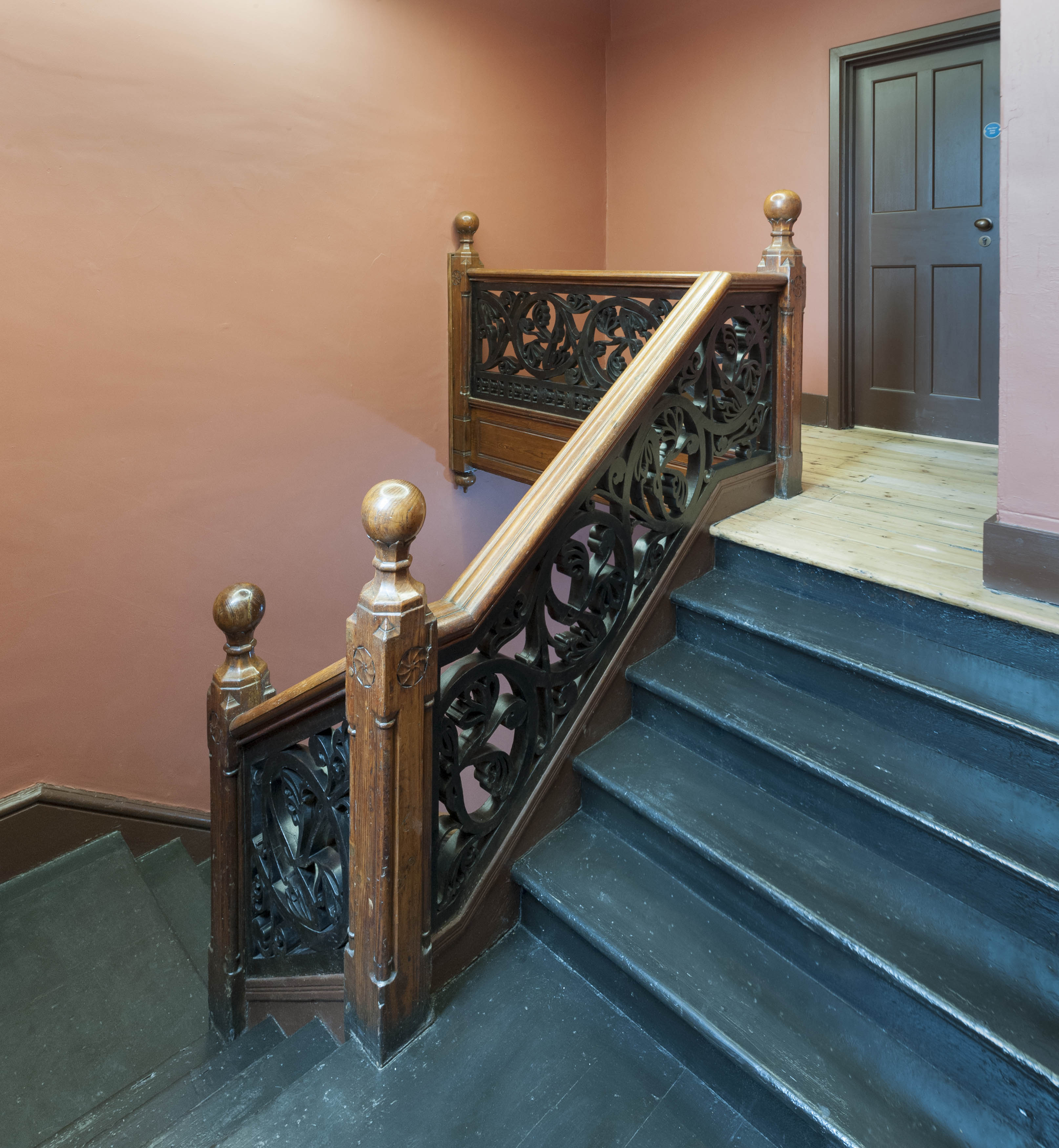
{
"id": 1654,
"title": "Toynbee Hall, staircase in 2018",
"author": {
"id": 27,
"username": "DerekKendall"
},
"feature": {
"id": 379,
"type": "Feature",
"geometry": {
"type": "MultiPolygon",
"coordinates": [
[
[
[
-0.072397829403071,
51.51669736298538
],
[
-0.072397829775652,
51.51669737370259
],
[
-0.072432640663459,
51.51673265247548
],
[
-0.072358283763003,
51.51675511998594
],
[
-0.072392345089312,
51.51679900052574
],
[
-0.072279169019407,
51.51681120129116
],
[
-0.072260832658385,
51.516791637982884
],
[
-0.07220017871295,
51.51681376750612
],
[
-0.07215893969634,
51.516769768915125
],
[
-0.072119241451839,
51.51677664825232
],
[
-0.071934651446851,
51.5165549241745
],
[
-0.071985260710591,
51.51653955484268
],
[
-0.072028895096668,
51.51652682786407
],
[
-0.072014842692988,
51.516508073517755
],
[
-0.072098254454469,
51.51648373796318
],
[
-0.072052675375786,
51.51643004607134
],
[
-0.072144607110911,
51.516401673048335
],
[
-0.072314904588685,
51.51634652520951
],
[
-0.072358068161013,
51.516398410711595
],
[
-0.072522445522427,
51.51634491903885
],
[
-0.072499976579174,
51.51631804154615
],
[
-0.072499959446261,
51.51631804712155
],
[
-0.072499965346341,
51.51631803831239
],
[
-0.072579515746657,
51.51629075531372
],
[
-0.072667639265209,
51.516403182536045
],
[
-0.072427304765486,
51.5164813923298
],
[
-0.072385415219988,
51.51643128370629
],
[
-0.072387162242999,
51.516433383744854
],
[
-0.072107982084202,
51.516523791132904
],
[
-0.072157544605501,
51.51658336890495
],
[
-0.072272128891629,
51.51654626302576
],
[
-0.072397829403071,
51.51669736298538
]
]
]
]
},
"properties": {
"b_number": "28 ",
"b_name": "Toynbee Hall",
"street": "Commercial Street",
"address": "Toynbee Hall, 28 Commercial Street",
"feature_type": "WHITECHAPEL_BUILDING",
"count": 21,
"search_str": "Toynbee Hall"
},
"tags": []
},
"file": "https://surveyoflondon.org/media/uploads/features/379/SoL%20Whitechapel%20102173.jpg",
"description": "",
"copyright": true,
"created": "2019-09-03"
},
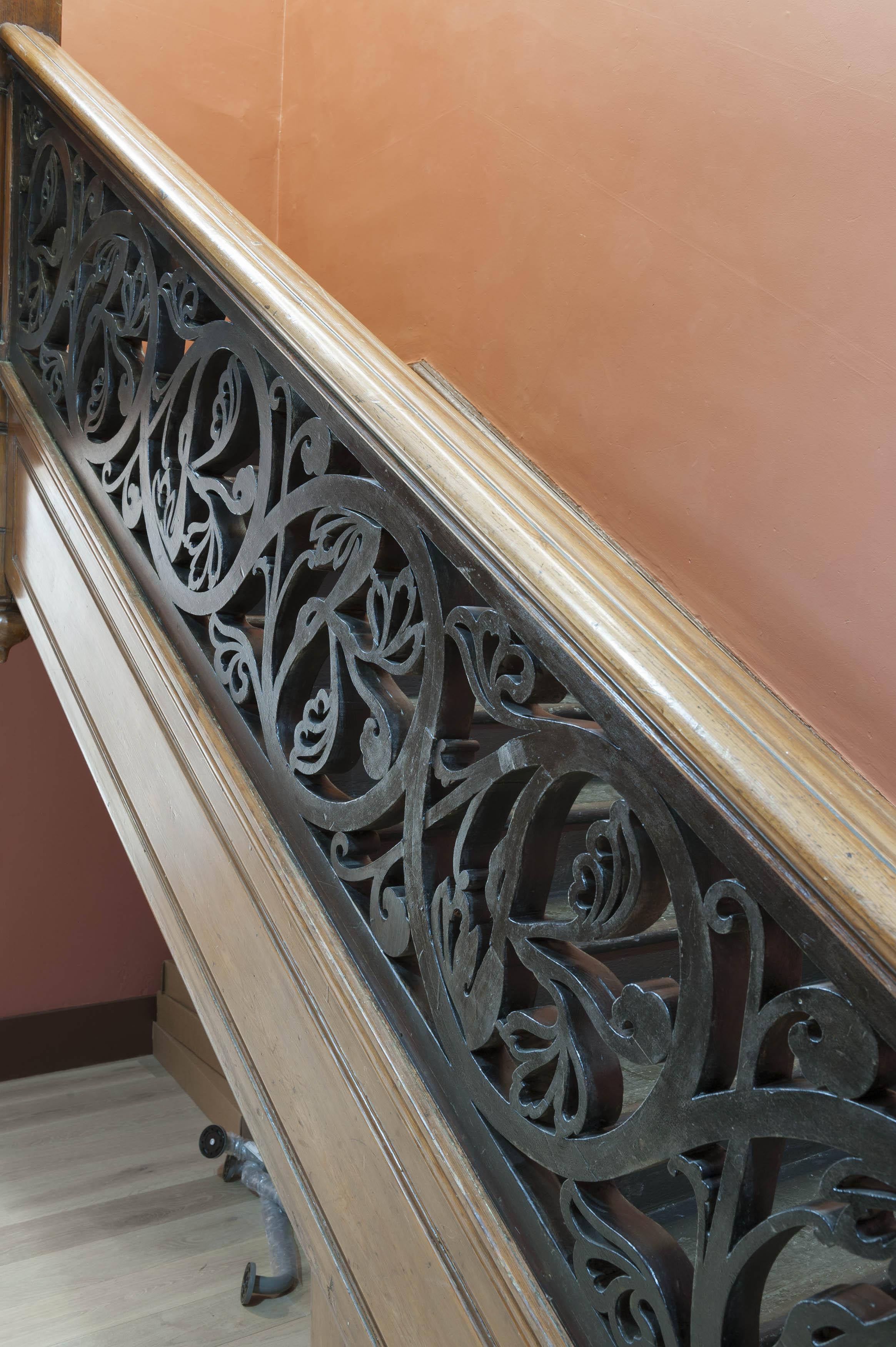
{
"id": 1655,
"title": "Toynbee Hall, staircase balustrade",
"author": {
"id": 27,
"username": "DerekKendall"
},
"feature": {
"id": 379,
"type": "Feature",
"geometry": {
"type": "MultiPolygon",
"coordinates": [
[
[
[
-0.072397829403071,
51.51669736298538
],
[
-0.072397829775652,
51.51669737370259
],
[
-0.072432640663459,
51.51673265247548
],
[
-0.072358283763003,
51.51675511998594
],
[
-0.072392345089312,
51.51679900052574
],
[
-0.072279169019407,
51.51681120129116
],
[
-0.072260832658385,
51.516791637982884
],
[
-0.07220017871295,
51.51681376750612
],
[
-0.07215893969634,
51.516769768915125
],
[
-0.072119241451839,
51.51677664825232
],
[
-0.071934651446851,
51.5165549241745
],
[
-0.071985260710591,
51.51653955484268
],
[
-0.072028895096668,
51.51652682786407
],
[
-0.072014842692988,
51.516508073517755
],
[
-0.072098254454469,
51.51648373796318
],
[
-0.072052675375786,
51.51643004607134
],
[
-0.072144607110911,
51.516401673048335
],
[
-0.072314904588685,
51.51634652520951
],
[
-0.072358068161013,
51.516398410711595
],
[
-0.072522445522427,
51.51634491903885
],
[
-0.072499976579174,
51.51631804154615
],
[
-0.072499959446261,
51.51631804712155
],
[
-0.072499965346341,
51.51631803831239
],
[
-0.072579515746657,
51.51629075531372
],
[
-0.072667639265209,
51.516403182536045
],
[
-0.072427304765486,
51.5164813923298
],
[
-0.072385415219988,
51.51643128370629
],
[
-0.072387162242999,
51.516433383744854
],
[
-0.072107982084202,
51.516523791132904
],
[
-0.072157544605501,
51.51658336890495
],
[
-0.072272128891629,
51.51654626302576
],
[
-0.072397829403071,
51.51669736298538
]
]
]
]
},
"properties": {
"b_number": "28 ",
"b_name": "Toynbee Hall",
"street": "Commercial Street",
"address": "Toynbee Hall, 28 Commercial Street",
"feature_type": "WHITECHAPEL_BUILDING",
"count": 21,
"search_str": "Toynbee Hall"
},
"tags": []
},
"file": "https://surveyoflondon.org/media/uploads/features/379/SoL%20Whitechapel%20102166.jpg",
"description": "",
"copyright": true,
"created": "2019-09-03"
},
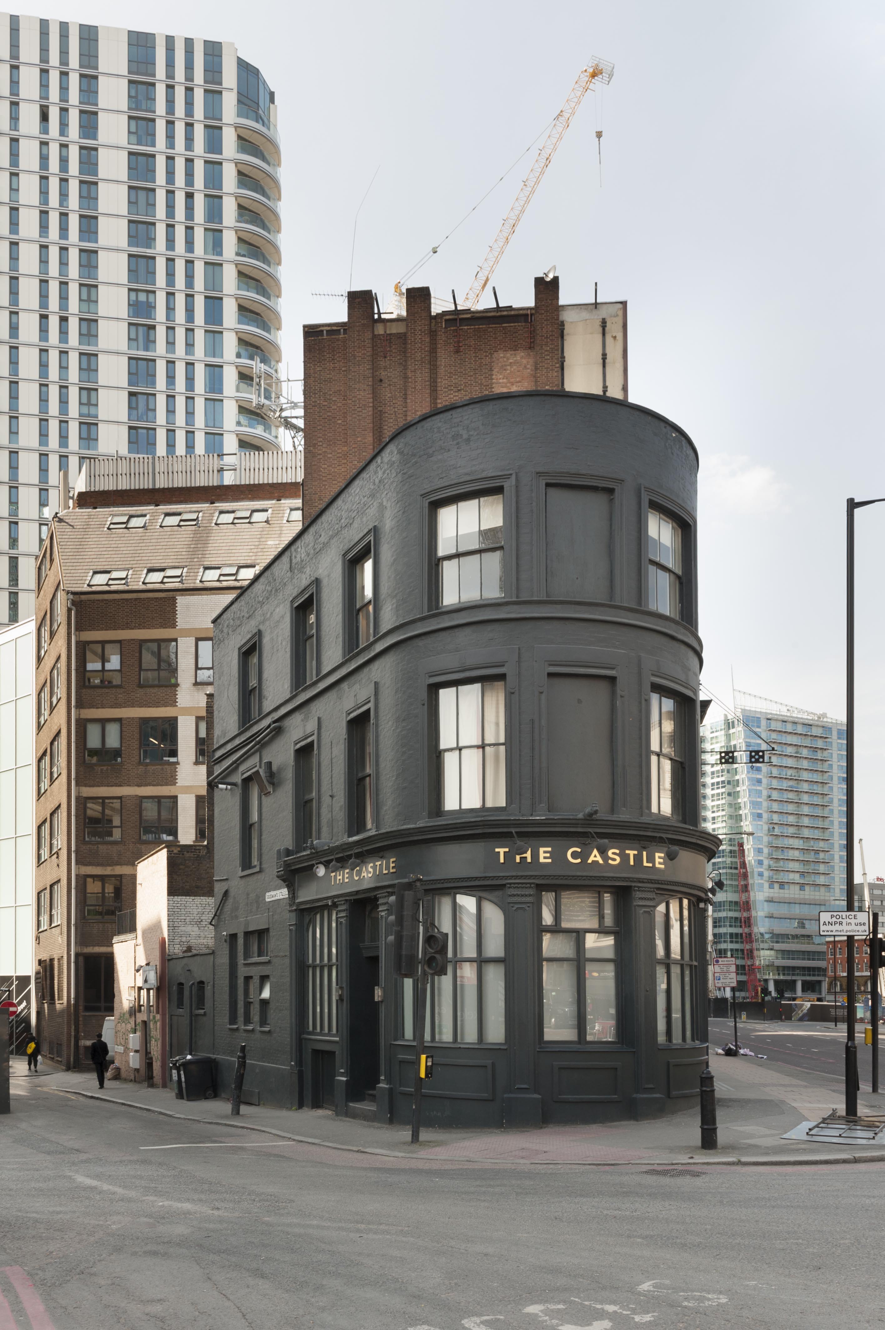
{
"id": 1672,
"title": "The Castle public house, 44 Commercial Road, view from the east in 2016",
"author": {
"id": 27,
"username": "DerekKendall"
},
"feature": {
"id": 993,
"type": "Feature",
"geometry": {
"type": "MultiPolygon",
"coordinates": [
[
[
[
-0.068895167190577,
51.514860878437695
],
[
-0.068760655825139,
51.51485866333621
],
[
-0.068737262545948,
51.51485827808541
],
[
-0.068726200071843,
51.51485627014273
],
[
-0.068716731782714,
51.51485281045747
],
[
-0.068710495548716,
51.514848708472066
],
[
-0.068706349838489,
51.514844597444295
],
[
-0.068703953888128,
51.51484029788058
],
[
-0.068702679254102,
51.51483584290172
],
[
-0.068703191133048,
51.514830330583116
],
[
-0.068705229200405,
51.514824973810406
],
[
-0.068709081135292,
51.51481955996893
],
[
-0.068717528591467,
51.514810918054636
],
[
-0.068726726984643,
51.514804288147886
],
[
-0.068738530611514,
51.514798657495035
],
[
-0.068855121182719,
51.51475675928784
],
[
-0.068900257529749,
51.51474053892435
],
[
-0.068895167190577,
51.514860878437695
]
]
]
]
},
"properties": {
"b_number": "44",
"b_name": "The Castle, 44 Commercial Road",
"street": "Commercial Road",
"address": "The Castle, 44 Commercial Road",
"feature_type": "WHITECHAPEL_BUILDING",
"count": 3,
"search_str": "The Castle, 44 Commercial Road"
},
"tags": [
"Thomas Ennor"
]
},
"file": "https://surveyoflondon.org/media/uploads/features/993/SoL%20Whitechapel100197.jpg",
"description": "",
"copyright": true,
"created": "2020-02-17"
},
{
"id": 255,
"title": "School of Nursing and Midwifery from Philpot Street in 2016",
"author": {
"id": 27,
"username": "DerekKendall"
},
"feature": {
"id": 1058,
"type": "Feature",
"geometry": {
"type": "MultiPolygon",
"coordinates": [
[
[
[
-0.059004086922458,
51.51661276635298
],
[
-0.058990863377921,
51.516612896975694
],
[
-0.05897663986563,
51.51661112548327
],
[
-0.058967375206192,
51.51660958153221
],
[
-0.058957738289397,
51.516607449331815
],
[
-0.058947834926145,
51.516604663445364
],
[
-0.058936743137776,
51.5166011412892
],
[
-0.05892497089254,
51.516597331195136
],
[
-0.058920018476434,
51.5165955799107
],
[
-0.058912558715638,
51.51659199544942
],
[
-0.058908767284812,
51.51659017364302
],
[
-0.058902773330987,
51.51659074419638
],
[
-0.058823722728433,
51.51659786107787
],
[
-0.058834096585017,
51.51663658400452
],
[
-0.05860287176707,
51.51665668008245
],
[
-0.058544784076488,
51.516382323256394
],
[
-0.058772953181219,
51.51636474505683
],
[
-0.058813425942447,
51.51653420644614
],
[
-0.058891559407562,
51.51652928510631
],
[
-0.058906277156583,
51.516516667278516
],
[
-0.058919539914443,
51.516508372696016
],
[
-0.058938744704526,
51.516497723863644
],
[
-0.058960648295559,
51.51649333037626
],
[
-0.058978920743919,
51.516491779242365
],
[
-0.058993167000596,
51.51649123869185
],
[
-0.059008418431252,
51.51649254720119
],
[
-0.059023661698448,
51.5164958362413
],
[
-0.05903640606451,
51.516499501480794
],
[
-0.059046490452032,
51.5165026261205
],
[
-0.059059739162358,
51.5165084425328
],
[
-0.059069735211528,
51.51651719067725
],
[
-0.059078076580308,
51.51652730500784
],
[
-0.059083185778891,
51.516537404970514
],
[
-0.059084476106204,
51.51654782140058
],
[
-0.059082273412062,
51.51656471822991
],
[
-0.059076671701623,
51.516576448039906
],
[
-0.059068739998259,
51.51658667721374
],
[
-0.059057621712824,
51.51659391874467
],
[
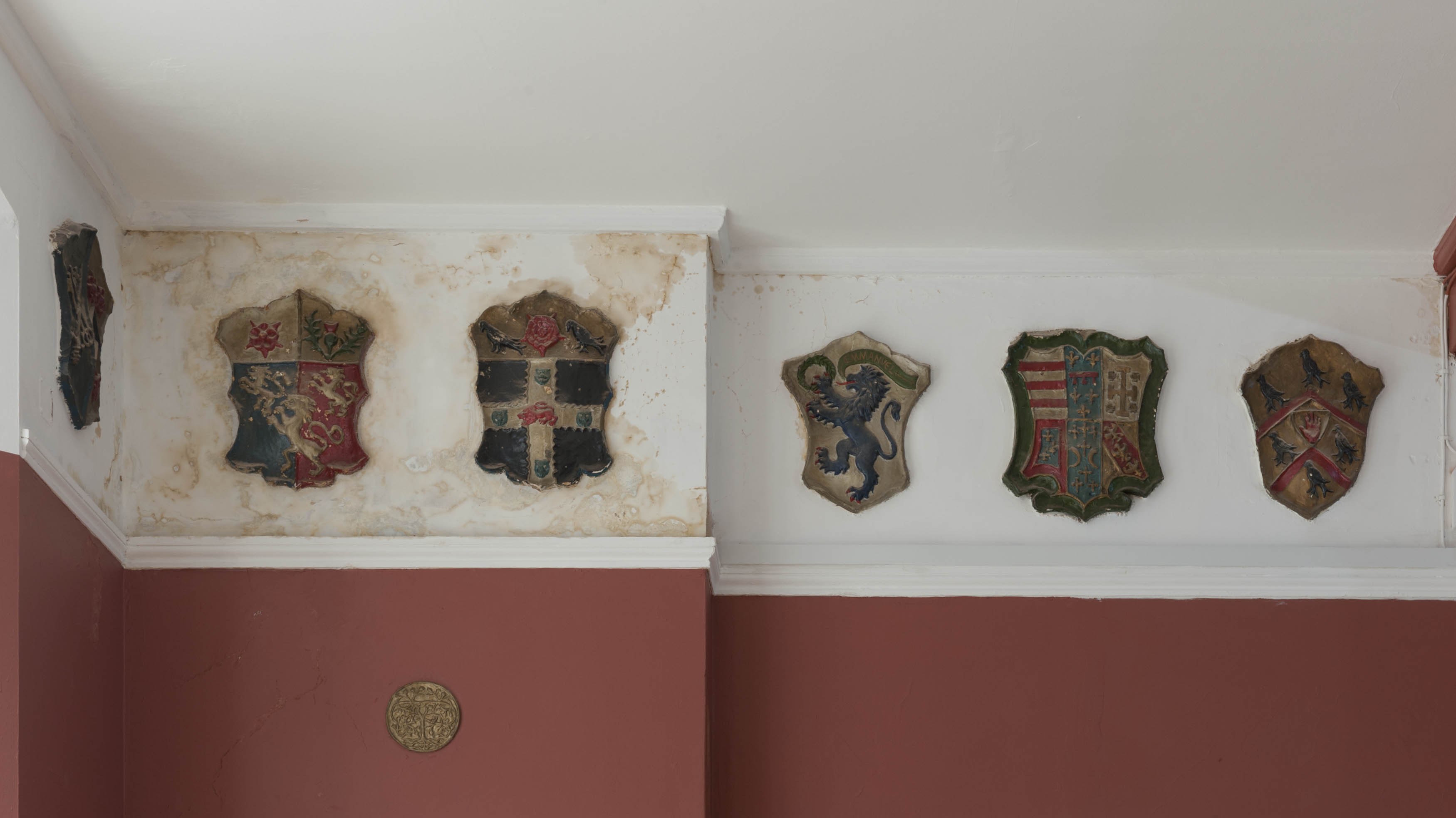
-0.05905346734158,
51.516595867219415
],
[
-0.059044563075176,
51.516600259911904
],
[
-0.059032350991568,
51.51660536623597
],
[
-0.05901852412735,
51.51661032829804
],
[
-0.059004086922458,
51.51661276635298
]
]
]
]
},
"properties": {
"b_number": "",
"b_name": "",
"street": "Ashfield Street",
"address": "School of Nursing and Midwifery",
"feature_type": "WHITECHAPEL_BUILDING",
"count": 3,
"search_str": "School of Nursing and Midwifery"
},
"tags": []
},
"file": "https://surveyoflondon.org/media/uploads/features/1058/SoL%20Whitechapel100070_G6ZL6wX.jpg",
"description": "",
"copyright": true,
"created": "2016-08-17"
},
{
"id": 132,
"title": "Plaque on south elevation",
"author": {
"id": 11,
"username": "amyspencer"
},
"feature": {
"id": 1192,
"type": "Feature",
"geometry": {
"type": "MultiPolygon",
"coordinates": [
[
[
[
-0.060732226936666,
51.5167239472129
],
[
-0.060049377763882,
51.51678442330549
],
[
-0.060020617668599,
51.51665520017413
],
[
-0.0607009862771,
51.5165933668703
],
[
-0.060732226936666,
51.5167239472129
]
]
]
]
},
"properties": {
"b_number": "25-35",
"b_name": "Yvonne Carter Building",
"street": "Ashfield Street",
"address": "Yvonne Carter Building",
"feature_type": "WHITECHAPEL_BUILDING",
"count": 3,
"search_str": "Yvonne Carter Building"
},
"tags": []
},
"file": "https://surveyoflondon.org/media/uploads/features/1192/SoL%20Whitechapel100077.jpg",
"description": "",
"copyright": false,
"created": "2016-07-13"
},
{
"id": 1679,
"title": "Yvonne Carter Building, Ashfield Street, view from the south-west in 2016",
"author": {
"id": 27,
"username": "DerekKendall"
},
"feature": {
"id": 1192,
"type": "Feature",
"geometry": {
"type": "MultiPolygon",
"coordinates": [
[
[
[
-0.060732226936666,
51.5167239472129
],
[
-0.060049377763882,
51.51678442330549
],
[
-0.060020617668599,
51.51665520017413
],
[
-0.0607009862771,
51.5165933668703
],
[
-0.060732226936666,
51.5167239472129
]
]
]
]
},
"properties": {
"b_number": "25-35",
"b_name": "Yvonne Carter Building",
"street": "Ashfield Street",
"address": "Yvonne Carter Building",
"feature_type": "WHITECHAPEL_BUILDING",
"count": 3,
"search_str": "Yvonne Carter Building"
},
"tags": []
},
"file": "https://surveyoflondon.org/media/uploads/features/1192/SoL%20Whitechapel100079_T2m7c6M.jpg",
"description": "",
"copyright": true,
"created": "2020-02-17"
},
{
"id": 1258,
"title": "Entrance to Queen Mary Innovation Centre",
"author": {
"id": 232,
"username": "Sebastian_Dawber"
},
"feature": {
"id": 1261,
"type": "Feature",
"geometry": {
"type": "MultiPolygon",
"coordinates": [
[
[
[
-0.06217557531013,
51.51642086485519
],
[
-0.061607361732937,
51.51646572530669
],
[
-0.061588270088329,
51.51637158945127
],
[
-0.061588270090842,
51.51637158946365
],
[
-0.061543001236623,
51.516375968319096
],
[
-0.061478543991114,
51.51611594800018
],
[
-0.061627462552455,
51.51610153849105
],
[
-0.061627462656578,
51.51610153900443
],
[
-0.061627492924424,
51.51610168824075
],
[
-0.061624344636359,
51.516086164815604
],
[
-0.062086271982723,
51.516049695462335
],
[
-0.06217557531013,
51.51642086485519
]
]
]
]
},
"properties": {
"b_number": "42",
"b_name": "Queen Mary Innovation Centre",
"street": "New Road",
"address": "Queen Mary Innovation Centre, 42 New Road",
"feature_type": "WHITECHAPEL_BUILDING",
"count": 4,
"search_str": "Queen Mary Innovation Centre"
},
"tags": []
},
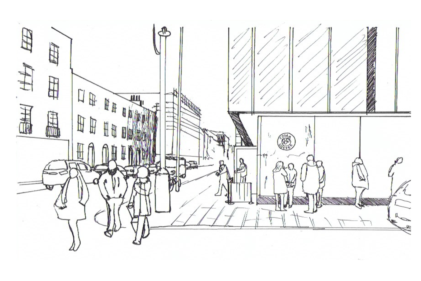
"file": "https://surveyoflondon.org/media/uploads/features/1261/Screen%20Shot%202018-05-23%20at%2018.05.57.png",
"description": "This is an observational sketch made in 2018 by Sebastian Dawber, a first year architecture student at the University of Westminster.",
"copyright": true,
"created": "2018-05-23"
},
{
"id": 1259,
"title": "Corner of New Road and Walden Street",
"author": {
"id": 232,
"username": "Sebastian_Dawber"
},
"feature": {
"id": 1261,
"type": "Feature",
"geometry": {
"type": "MultiPolygon",
"coordinates": [
[
[
[
-0.06217557531013,
51.51642086485519
],
[
-0.061607361732937,
51.51646572530669
],
[
-0.061588270088329,
51.51637158945127
],
[
-0.061588270090842,
51.51637158946365
],
[
-0.061543001236623,
51.516375968319096
],
[
-0.061478543991114,
51.51611594800018
],
[
-0.061627462552455,
51.51610153849105
],
[
-0.061627462656578,
51.51610153900443
],
[
-0.061627492924424,
51.51610168824075
],
[
-0.061624344636359,
51.516086164815604
],
[
-0.062086271982723,
51.516049695462335
],
[
-0.06217557531013,
51.51642086485519
]
]
]
]
},
"properties": {
"b_number": "42",
"b_name": "Queen Mary Innovation Centre",
"street": "New Road",
"address": "Queen Mary Innovation Centre, 42 New Road",
"feature_type": "WHITECHAPEL_BUILDING",
"count": 4,
"search_str": "Queen Mary Innovation Centre"
},
"tags": []
},
"file": "https://surveyoflondon.org/media/uploads/features/1261/Screen%20Shot%202018-05-23%20at%2018.24.46.png",
"description": "This is an observational sketch made in 2018 by Sebastian Dawber, a first year architecture student at the University of Westminster.",
"copyright": true,
"created": "2018-05-23"
},
{
"id": 316,
"title": "former proving chamber of the Gunmakers' Company",
"author": {
"id": 25,
"username": "Aileen"
},
"feature": {
"id": 1016,
"type": "Feature",
"geometry": {
"type": "MultiPolygon",
"coordinates": [
[
[
[
-0.068260232398246,
51.51477078323367
],
[
-0.068015891167626,
51.5147824074063
],
[
-0.067989584029828,
51.514607222723676
],
[
-0.068165517221812,
51.5145962554253
],
[
-0.068167507270317,
51.51461124694583
],
[
-0.068237397616931,
51.5146070496752
],
[
-0.068260232398246,
51.51477078323367
]
],
[
[
-0.068202841801552,
51.51466683191732
],
[
-0.068136591673853,
51.51467046256953
],
[
-0.068144363769439,
51.51473136877517
],
[
-0.068208694296891,
51.51472806567735
],
[
-0.068202841801552,
51.51466683191732
]
],
[
[
-0.068088690886023,
51.514711682651345
],
[
-0.06808732190461,
51.51470153629181
],
[
-0.068009718204265,
51.51470567288329
],
[
-0.068011037313001,
51.51471548132591
],
[
-0.068088690886023,
51.514711682651345
]
]
]
]
},
"properties": {
"b_number": "48",
"b_name": "The Proof House, 48-50 Commercial Road",
"street": "Commercial Road",
"address": "Worshipful Company of Gunmakers, The Proof House, 48-50 Commercial Road",
"feature_type": "WHITECHAPEL_BUILDING",
"count": 15,
"search_str": "The Proof House, 48-50 Commercial Road"
},
"tags": []
},
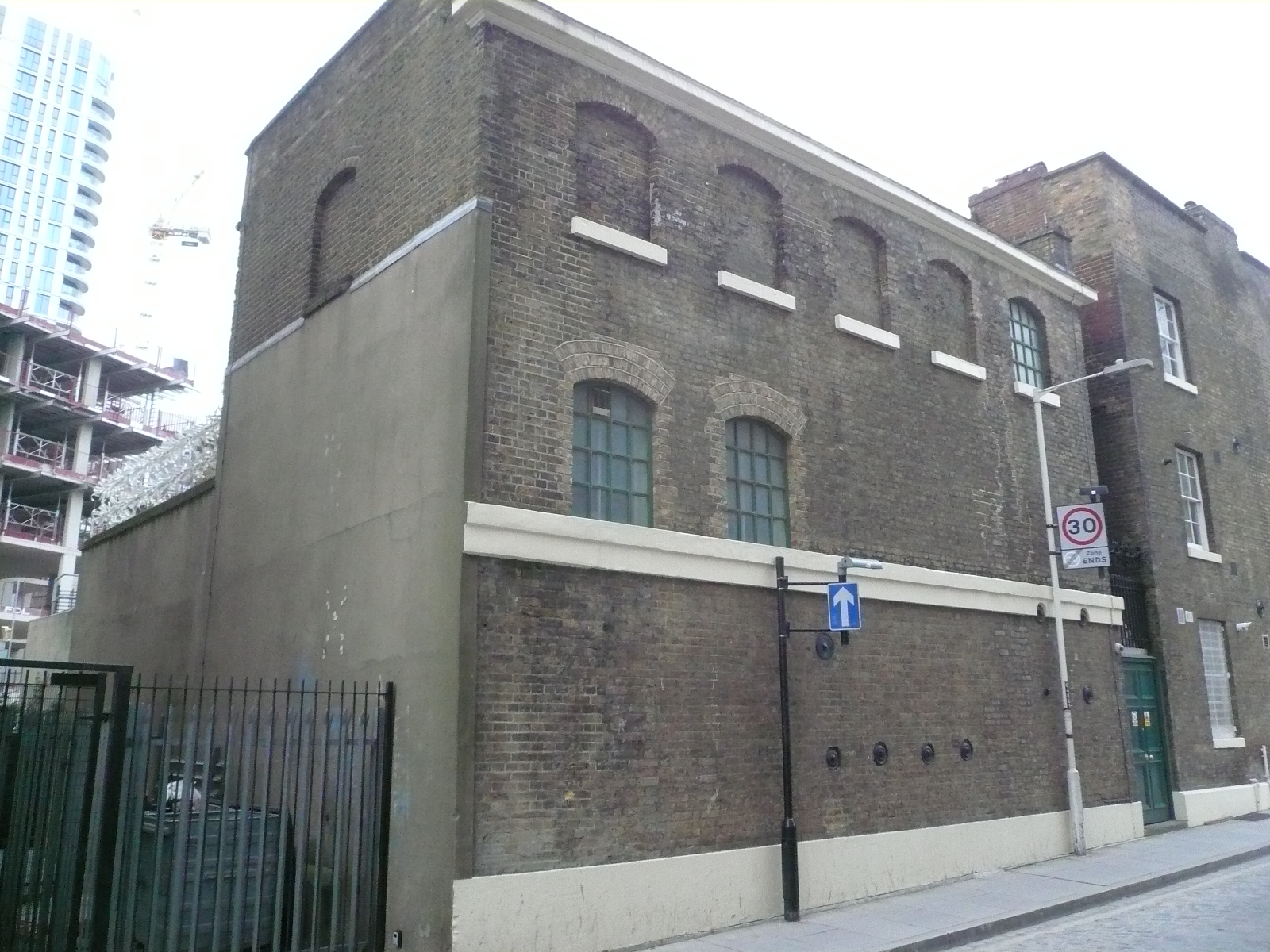
"file": "https://surveyoflondon.org/media/uploads/features/1016/P1160063.JPG",
"description": "photographed from Gower's Walk, 2015",
"copyright": false,
"created": "2016-08-31"
},
{
"id": 1223,
"title": "The Proof House, seen from 31A Commercial Road opposite",
"author": {
"id": 27,
"username": "DerekKendall"
},
"feature": {
"id": 1016,
"type": "Feature",
"geometry": {
"type": "MultiPolygon",
"coordinates": [
[
[
[
-0.068260232398246,
51.51477078323367
],
[
-0.068015891167626,
51.5147824074063
],
[
-0.067989584029828,
51.514607222723676
],
[
-0.068165517221812,
51.5145962554253
],
[
-0.068167507270317,
51.51461124694583
],
[
-0.068237397616931,
51.5146070496752
],
[
-0.068260232398246,
51.51477078323367
]
],
[
[
-0.068202841801552,
51.51466683191732
],
[
-0.068136591673853,
51.51467046256953
],
[
-0.068144363769439,
51.51473136877517
],
[
-0.068208694296891,
51.51472806567735
],
[
-0.068202841801552,
51.51466683191732
]
],
[
[
-0.068088690886023,
51.514711682651345
],
[
-0.06808732190461,
51.51470153629181
],
[
-0.068009718204265,
51.51470567288329
],
[
-0.068011037313001,
51.51471548132591
],
[
-0.068088690886023,
51.514711682651345
]
]
]
]
},
"properties": {
"b_number": "48",
"b_name": "The Proof House, 48-50 Commercial Road",
"street": "Commercial Road",
"address": "Worshipful Company of Gunmakers, The Proof House, 48-50 Commercial Road",
"feature_type": "WHITECHAPEL_BUILDING",
"count": 15,
"search_str": "The Proof House, 48-50 Commercial Road"
},
"tags": []
},
"file": "https://surveyoflondon.org/media/uploads/features/1016/SoL%20Whitechapel%20101884.jpg",
"description": "",
"copyright": true,
"created": "2018-03-22"
}
]
}