HTTP 200 OK
Allow: GET, HEAD, OPTIONS
Content-Type: application/json
Vary: Accept
{
"count": 1747,
"next": "https://surveyoflondon.org/api/v1/images/?format=api&page=2",
"previous": null,
"results": [
{
"id": 584,
"title": "View to Spelman House along Chicksand Street from the north-east, April 2017",
"author": {
"id": 27,
"username": "DerekKendall"
},
"feature": {
"id": 223,
"type": "Feature",
"geometry": {
"type": "MultiPolygon",
"coordinates": [
[
[
[
-0.069651275011124,
51.51835449089215
],
[
-0.069592024694681,
51.51836717419471
],
[
-0.069587125932472,
51.518360246262
],
[
-0.069422150097701,
51.51838609725476
],
[
-0.069428895460589,
51.51840120950797
],
[
-0.069398491903018,
51.518404780174386
],
[
-0.069392714379199,
51.51838967325895
],
[
-0.069237263189485,
51.51841785638787
],
[
-0.069221236825655,
51.518417615963294
],
[
-0.069198758310569,
51.518413055117485
],
[
-0.069189106230736,
51.518402805327085
],
[
-0.069120097916717,
51.51825457693517
],
[
-0.069105176600071,
51.518256968483236
],
[
-0.069099054846448,
51.518236845706575
],
[
-0.06911264195119,
51.518235161624375
],
[
-0.069068670608898,
51.51812739697248
],
[
-0.069053930480549,
51.518128134519145
],
[
-0.06903992435002,
51.518096251376235
],
[
-0.069181990019506,
51.518069271172465
],
[
-0.069281479672148,
51.518305780531115
],
[
-0.069312100496919,
51.518315438787596
],
[
-0.069603812103688,
51.51826672197482
],
[
-0.069651275011124,
51.51835449089215
]
]
]
]
},
"properties": {
"b_number": "",
"b_name": "Spelman House",
"street": "Spelman Street and Chicksand Street",
"address": "Spelman House, Spelman Street and Chicksand Street",
"feature_type": "WHITECHAPEL_BUILDING",
"count": 11,
"search_str": "Spelman House"
},
"tags": []
},
"file": "https://surveyoflondon.org/media/uploads/features/223/SoL%20Whitechapel%20100615.jpg",
"description": "",
"copyright": true,
"created": "2017-05-03"
},
{
"id": 1619,
"title": "The Artful Dodger in 2019",
"author": {
"id": 27,
"username": "DerekKendall"
},
"feature": {
"id": 1340,
"type": "Feature",
"geometry": {
"type": "MultiPolygon",
"coordinates": [
[
[
[
-0.070218201553316,
51.51043094496562
],
[
-0.070222558344686,
51.51044247916505
],
[
-0.070109328735508,
51.510468828661644
],
[
-0.070060850905555,
51.51038509713018
],
[
-0.070073091733693,
51.510382337633246
],
[
-0.070050463039811,
51.51034325297067
],
[
-0.070066633176381,
51.51033960767238
],
[
-0.070054353255101,
51.510318397568625
],
[
-0.070157621726522,
51.510295117279824
],
[
-0.070179031681174,
51.51033209678496
],
[
-0.070158959927667,
51.51033794396246
],
[
-0.07017205837987,
51.510360032186526
],
[
-0.070184201425816,
51.510378368893306
],
[
-0.070218201553316,
51.51043094496562
]
]
]
]
},
"properties": {
"b_number": "47",
"b_name": "The Artful Dodger (formerly the Crown and Seven Stars)",
"street": "Royal Mint Street",
"address": "The Artful Dodger (formerly the Crown and Seven Stars) public house, 47 Royal Mint Street",
"feature_type": "WHITECHAPEL_BUILDING",
"count": 18,
"search_str": "The Artful Dodger (formerly the Crown and Seven Stars)"
},
"tags": []
},
"file": "https://surveyoflondon.org/media/uploads/features/1340/SoL%20Whitechapel%20102854.jpg",
"description": "",
"copyright": true,
"created": "2019-05-16"
},
{
"id": 796,
"title": "11-15 Whitechurch Lane in 2017",
"author": {
"id": 27,
"username": "DerekKendall"
},
"feature": {
"id": 140,
"type": "Feature",
"geometry": {
"type": "MultiPolygon",
"coordinates": [
[
[
[
-0.069157116745759,
51.51563317080778
],
[
-0.069283419052626,
51.51559946462128
],
[
-0.069389187970772,
51.51556852628778
],
[
-0.069413280199824,
51.51559828610046
],
[
-0.069413280199768,
51.51559828610048
],
[
-0.069181496669892,
51.51566688439278
],
[
-0.069157116745759,
51.51563317080778
]
]
]
]
},
"properties": {
"b_number": "13",
"b_name": "",
"street": "White Church Lane",
"address": "13 White Church Lane",
"feature_type": "WHITECHAPEL_BUILDING",
"count": 3,
"search_str": "13 White Church Lane"
},
"tags": []
},
"file": "https://surveyoflondon.org/media/uploads/features/140/SoL%20Whitechapel%20101432.jpg",
"description": "",
"copyright": true,
"created": "2017-09-12"
},
{
"id": 585,
"title": "Spelman House from the north-east in April 2017",
"author": {
"id": 27,
"username": "DerekKendall"
},
"feature": {
"id": 223,
"type": "Feature",
"geometry": {
"type": "MultiPolygon",
"coordinates": [
[
[
[
-0.069651275011124,
51.51835449089215
],
[
-0.069592024694681,
51.51836717419471
],
[
-0.069587125932472,
51.518360246262
],
[
-0.069422150097701,
51.51838609725476
],
[
-0.069428895460589,
51.51840120950797
],
[
-0.069398491903018,
51.518404780174386
],
[
-0.069392714379199,
51.51838967325895
],
[
-0.069237263189485,
51.51841785638787
],
[
-0.069221236825655,
51.518417615963294
],
[
-0.069198758310569,
51.518413055117485
],
[
-0.069189106230736,
51.518402805327085
],
[
-0.069120097916717,
51.51825457693517
],
[
-0.069105176600071,
51.518256968483236
],
[
-0.069099054846448,
51.518236845706575
],
[
-0.06911264195119,
51.518235161624375
],
[
-0.069068670608898,
51.51812739697248
],
[
-0.069053930480549,
51.518128134519145
],
[
-0.06903992435002,
51.518096251376235
],
[
-0.069181990019506,
51.518069271172465
],
[
-0.069281479672148,
51.518305780531115
],
[
-0.069312100496919,
51.518315438787596
],
[
-0.069603812103688,
51.51826672197482
],
[
-0.069651275011124,
51.51835449089215
]
]
]
]
},
"properties": {
"b_number": "",
"b_name": "Spelman House",
"street": "Spelman Street and Chicksand Street",
"address": "Spelman House, Spelman Street and Chicksand Street",
"feature_type": "WHITECHAPEL_BUILDING",
"count": 11,
"search_str": "Spelman House"
},
"tags": []
},
"file": "https://surveyoflondon.org/media/uploads/features/223/SoL%20Whitechapel%20100618.jpg",
"description": "",
"copyright": true,
"created": "2017-05-03"
},
{
"id": 574,
"title": "Hopetown Estate - backs of houses on Monthorpe Road in April 2017",
"author": {
"id": 27,
"username": "DerekKendall"
},
"feature": {
"id": 242,
"type": "Feature",
"geometry": {
"type": "MultiPolygon",
"coordinates": [
[
[
[
-0.069759187517722,
51.5182086130277
],
[
-0.069799049632978,
51.51828931844235
],
[
-0.069799058912781,
51.518289321951585
],
[
-0.069756180782696,
51.51829715621699
],
[
-0.069716292689891,
51.51821691263275
],
[
-0.069759187517722,
51.5182086130277
]
]
]
]
},
"properties": {
"b_number": "20",
"b_name": "",
"street": "Chicksand Street",
"address": "20 Chicksand Street",
"feature_type": "WHITECHAPEL_BUILDING",
"count": 14,
"search_str": "20 Chicksand Street"
},
"tags": []
},
"file": "https://surveyoflondon.org/media/uploads/features/242/SoL%20Whitechapel%20100592.jpg",
"description": "",
"copyright": true,
"created": "2017-05-03"
},
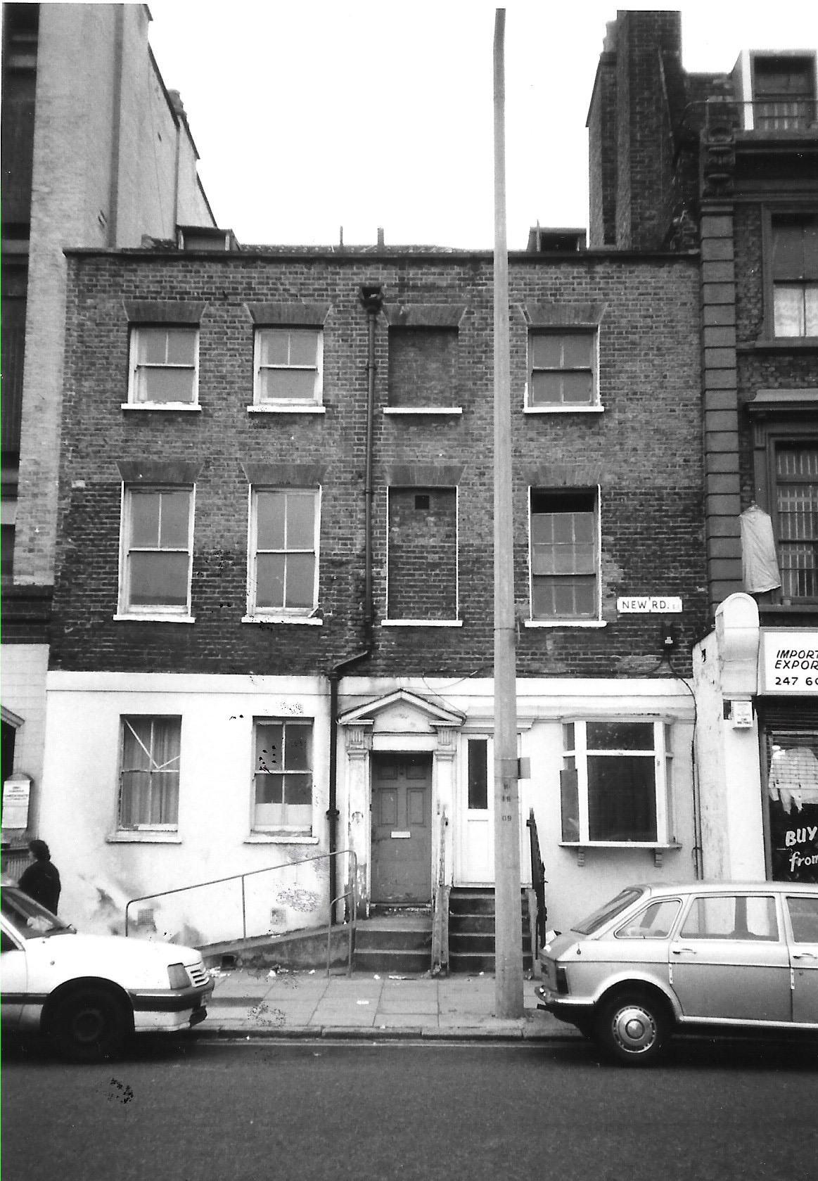
{
"id": 47,
"title": "81 New Road March 1992",
"author": {
"id": 21,
"username": "IsobelWatson"
},
"feature": {
"id": 816,
"type": "Feature",
"geometry": {
"type": "MultiPolygon",
"coordinates": [
[
[
[
-0.062640274693923,
51.51683748606159
],
[
-0.062495171111347,
51.51685312968612
],
[
-0.062483921153329,
51.516791668265206
],
[
-0.062626534163136,
51.5167788094354
],
[
-0.062640274693923,
51.51683748606159
]
]
]
]
},
"properties": {
"b_number": "81",
"b_name": "",
"street": "New Road",
"address": "81 New Road",
"feature_type": "WHITECHAPEL_BUILDING",
"count": 2,
"search_str": "81 New Road"
},
"tags": []
},
"file": "https://surveyoflondon.org/media/uploads/features/815/81%20New%20Road%20March%201992.jpg",
"description": "",
"copyright": false,
"created": "2016-06-20"
},
{
"id": 42,
"title": "23 New Road, March 1992",
"author": {
"id": 21,
"username": "IsobelWatson"
},
"feature": {
"id": 927,
"type": "Feature",
"geometry": {
"type": "MultiPolygon",
"coordinates": [
[
[
[
-0.062275991200477,
51.51534483033068
],
[
-0.062159734501735,
51.5153538515424
],
[
-0.062144919860463,
51.515292893238296
],
[
-0.062260421303245,
51.5152839306371
],
[
-0.062275991200477,
51.51534483033068
]
]
]
]
},
"properties": {
"b_number": "23",
"b_name": "",
"street": "New Road",
"address": "23 New Road",
"feature_type": "WHITECHAPEL_BUILDING",
"count": 6,
"search_str": "23 New Road"
},
"tags": []
},
"file": "https://surveyoflondon.org/media/uploads/features/927/23%20New%20Road%20March%201992.jpg",
"description": "",
"copyright": false,
"created": "2016-06-20"
},
{
"id": 1289,
"title": "Booth House, entrance in May 2018",
"author": {
"id": 27,
"username": "DerekKendall"
},
"feature": {
"id": 450,
"type": "Feature",
"geometry": {
"type": "MultiPolygon",
"coordinates": [
[
[
[
-0.06422467000739,
51.518346425966705
],
[
-0.064139252358071,
51.51823673198003
],
[
-0.064997420852945,
51.517989190075504
],
[
-0.0651153549591,
51.518130611865764
],
[
-0.064956150003001,
51.51818228882907
],
[
-0.064990282669364,
51.5182232193261
],
[
-0.065063417463012,
51.51819948025257
],
[
-0.065101653907018,
51.51821773688781
],
[
-0.065149886157321,
51.51820679241602
],
[
-0.065172150569598,
51.51822793096113
],
[
-0.065030278151488,
51.51828609418926
],
[
-0.065034717345609,
51.51829429875206
],
[
-0.064978831572075,
51.51831505095174
],
[
-0.064993421041809,
51.518330343879306
],
[
-0.064935985894424,
51.518351671366084
],
[
-0.06489721449686,
51.51832815376979
],
[
-0.064728837166118,
51.51837323938369
],
[
-0.064694480256407,
51.518323296408646
],
[
-0.064727496238737,
51.51831445590029
],
[
-0.06472184898472,
51.51829907016839
],
[
-0.064849379298623,
51.51826143841198
],
[
-0.064826127797126,
51.51823076770363
],
[
-0.06464735730232,
51.51828351939426
],
[
-0.064591894192196,
51.51821035827098
],
[
-0.064280190592886,
51.518302334954846
],
[
-0.064299380272455,
51.51832550478737
],
[
-0.06422467000739,
51.518346425966705
]
]
]
]
},
"properties": {
"b_number": "153-175",
"b_name": "Booth House",
"street": "Whitechapel Road",
"address": "Booth House (Salvation Army Lifehouse), 153-175 Whitechapel Road",
"feature_type": "WHITECHAPEL_BUILDING",
"count": 5,
"search_str": "Booth House"
},
"tags": []
},
"file": "https://surveyoflondon.org/media/uploads/features/450/SoL%20Whitechapel%20102006.jpg",
"description": "",
"copyright": true,
"created": "2018-08-09"
},
{
"id": 110,
"title": "65A-68 Whitechapel High Street in 2010",
"author": {
"id": 32,
"username": "JulianHarrap"
},
"feature": {
"id": 164,
"type": "Feature",
"geometry": {
"type": "MultiPolygon",
"coordinates": [
[
[
[
-0.069933654614942,
51.51577271778849
],
[
-0.0699313270692,
51.515777354399376
],
[
-0.069889130754686,
51.515797140731685
],
[
-0.069809844959613,
51.51573576424652
],
[
-0.069885170960789,
51.51571635476265
],
[
-0.069933654614942,
51.51577271778849
]
]
]
]
},
"properties": {
"b_number": "65A",
"b_name": "",
"street": "Whitechapel High Street",
"address": "65A Whitechapel High Street",
"feature_type": "WHITECHAPEL_BUILDING",
"count": 5,
"search_str": "65A Whitechapel High Street"
},
"tags": []
},
"file": "https://surveyoflondon.org/media/uploads/features/164/65-68%20Whitechapel%20High%20Street%202010%20(Julian%20Harrap%20Architects).jpg",
"description": "",
"copyright": false,
"created": "2016-06-30"
},
{
"id": 113,
"title": "70 Middlesex Street",
"author": {
"id": 25,
"username": "Aileen"
},
"feature": {
"id": 329,
"type": "Feature",
"geometry": {
"type": "MultiPolygon",
"coordinates": [
[
[
[
-0.076236717572881,
51.51616901769096
],
[
-0.076163758093212,
51.516207758182944
],
[
-0.076134021729816,
51.516179353842446
],
[
-0.076200898625267,
51.51614546268597
],
[
-0.076236717572881,
51.51616901769096
]
]
]
]
},
"properties": {
"b_number": "70",
"b_name": "70 Middlesex Street, London E1 7EZ",
"street": "Middlesex Street",
"address": "70 Middlesex Street",
"feature_type": "WHITECHAPEL_BUILDING",
"count": 3,
"search_str": "70 Middlesex Street, London E1 7EZ"
},
"tags": []
},
"file": "https://surveyoflondon.org/media/uploads/features/329/Middlesex%20St%2070%20crop.jpg",
"description": "",
"copyright": false,
"created": "2016-07-13"
},
{
"id": 446,
"title": "Whitechapel Fire Station in 1932",
"author": {
"id": 37,
"username": "HistoricEngland"
},
"feature": {
"id": 101,
"type": "Feature",
"geometry": {
"type": "MultiPolygon",
"coordinates": [
[
[
[
-0.069645462493737,
51.515142463727784
],
[
-0.069222888876109,
51.51529835788027
],
[
-0.069232652835499,
51.51526035048273
],
[
-0.069278826604558,
51.51522930389526
],
[
-0.06930377951036,
51.515073225280084
],
[
-0.069647827894883,
51.515086522706206
],
[
-0.069645462493737,
51.515142463727784
]
]
]
]
},
"properties": {
"b_number": "",
"b_name": "Whitechapel Fire Station",
"street": "Manningtree Street",
"address": "Whitechapel Fire Station, Manningtree Street",
"feature_type": "WHITECHAPEL_BUILDING",
"count": 9,
"search_str": "Whitechapel Fire Station"
},
"tags": [
"fire station"
]
},
"file": "https://surveyoflondon.org/media/uploads/features/101/Whitechapel%20Fire%20Station%2C%20April%201932%2C%20HELR%20A8715%20or%2081-10336%20copy.jpg",
"description": "",
"copyright": true,
"created": "2016-11-15"
},
{
"id": 797,
"title": "11-21 Whitechurch Lane in 2017",
"author": {
"id": 27,
"username": "DerekKendall"
},
"feature": {
"id": 140,
"type": "Feature",
"geometry": {
"type": "MultiPolygon",
"coordinates": [
[
[
[
-0.069157116745759,
51.51563317080778
],
[
-0.069283419052626,
51.51559946462128
],
[
-0.069389187970772,
51.51556852628778
],
[
-0.069413280199824,
51.51559828610046
],
[
-0.069413280199768,
51.51559828610048
],
[
-0.069181496669892,
51.51566688439278
],
[
-0.069157116745759,
51.51563317080778
]
]
]
]
},
"properties": {
"b_number": "13",
"b_name": "",
"street": "White Church Lane",
"address": "13 White Church Lane",
"feature_type": "WHITECHAPEL_BUILDING",
"count": 3,
"search_str": "13 White Church Lane"
},
"tags": []
},
"file": "https://surveyoflondon.org/media/uploads/features/140/SoL%20Whitechapel%20101433.jpg",
"description": "",
"copyright": true,
"created": "2017-09-12"
},
{
"id": 98,
"title": "Shaheed Minar",
"author": {
"id": 31,
"username": "LucyMW"
},
"feature": {
"id": 297,
"type": "Feature",
"geometry": {
"type": "MultiPolygon",
"coordinates": [
[
[
[
-0.068579013646325,
51.515806570966184
],
[
-0.068603236589372,
51.51579314242831
],
[
-0.068627932264343,
51.51578224735277
],
[
-0.068654968080886,
51.51577953902627
],
[
-0.068682395518699,
51.51578437002237
],
[
-0.068705925916716,
51.51579002894806
],
[
-0.068726713830396,
51.51580349912936
],
[
-0.068739060046585,
51.51582658529491
],
[
-0.068732341766045,
51.51585134703015
],
[
-0.068717700191129,
51.515864899109616
],
[
-0.068579013646325,
51.515806570966184
]
]
]
]
},
"properties": {
"b_number": "",
"b_name": "Shaheed Minar",
"street": "Whitechapel Road",
"address": "Shaheed Minar, Altab Ali Park",
"feature_type": "WHITECHAPEL_BUILDING",
"count": 5,
"search_str": "Shaheed Minar"
},
"tags": [
"monument"
]
},
"file": "https://surveyoflondon.org/media/uploads/features/297/DP179974.jpg",
"description": "",
"copyright": true,
"created": "2016-06-27"
},
{
"id": 563,
"title": "1-13 Adler Street from the south-east in April 2017",
"author": {
"id": 27,
"username": "DerekKendall"
},
"feature": {
"id": 98,
"type": "Feature",
"geometry": {
"type": "MultiPolygon",
"coordinates": [
[
[
[
-0.067624278430134,
51.51582673751899
],
[
-0.067266745341531,
51.51526486267481
],
[
-0.067443979235003,
51.51522070947007
],
[
-0.067791271739465,
51.515783687309835
],
[
-0.067624278430134,
51.51582673751899
]
]
]
]
},
"properties": {
"b_number": "1-13",
"b_name": "",
"street": "Adler Street",
"address": "1-13 Adler Street",
"feature_type": "WHITECHAPEL_BUILDING",
"count": 7,
"search_str": "1-13 Adler Street"
},
"tags": [
"flatted factory",
"London County Council"
]
},
"file": "https://surveyoflondon.org/media/uploads/features/98/SoL%20Whitechapel%20100558.jpg",
"description": "",
"copyright": true,
"created": "2017-05-03"
},
{
"id": 40,
"title": "19 New Road in March 1992",
"author": {
"id": 21,
"username": "IsobelWatson"
},
"feature": {
"id": 929,
"type": "Feature",
"geometry": {
"type": "MultiPolygon",
"coordinates": [
[
[
[
-0.062250255760455,
51.5152441693958
],
[
-0.062135247422249,
51.515253093730564
],
[
-0.062124799001574,
51.515210101261616
],
[
-0.062239274674202,
51.51520121825885
],
[
-0.062250255760455,
51.5152441693958
]
]
]
]
},
"properties": {
"b_number": "19",
"b_name": "",
"street": "New Road",
"address": "19 New Road",
"feature_type": "WHITECHAPEL_BUILDING",
"count": 6,
"search_str": "19 New Road"
},
"tags": []
},
"file": "https://surveyoflondon.org/media/uploads/features/929/19%20New%20Road%20March%201992.jpg",
"description": "",
"copyright": false,
"created": "2016-06-20"
},
{
"id": 41,
"title": "21 New Road, March 1992",
"author": {
"id": 21,
"username": "IsobelWatson"
},
"feature": {
"id": 928,
"type": "Feature",
"geometry": {
"type": "MultiPolygon",
"coordinates": [
[
[
[
-0.062260421303245,
51.5152839306371
],
[
-0.062144919860463,
51.515292893238296
],
[
-0.062135247422249,
51.515253093730564
],
[
-0.062250255760455,
51.5152441693958
],
[
-0.062260421303245,
51.5152839306371
]
]
]
]
},
"properties": {
"b_number": "21",
"b_name": "",
"street": "New Road",
"address": "21 New Road",
"feature_type": "WHITECHAPEL_BUILDING",
"count": 6,
"search_str": "21 New Road"
},
"tags": []
},
"file": "https://surveyoflondon.org/media/uploads/features/928/21%20New%20Road%20March%201992.jpg",
"description": "",
"copyright": false,
"created": "2016-06-20"
},
{
"id": 43,
"title": "25-47 New Road, March 1992",
"author": {
"id": 21,
"username": "IsobelWatson"
},
"feature": {
"id": 926,
"type": "Feature",
"geometry": {
"type": "MultiPolygon",
"coordinates": [
[
[
[
-0.062286767646562,
51.51538698104335
],
[
-0.062169988208296,
51.515396042814615
],
[
-0.062159734501735,
51.5153538515424
],
[
-0.062275991200477,
51.51534483033068
],
[
-0.062286767646562,
51.51538698104335
]
]
]
]
},
"properties": {
"b_number": "25",
"b_name": "",
"street": "New Road",
"address": "25 New Road",
"feature_type": "WHITECHAPEL_BUILDING",
"count": 6,
"search_str": "25 New Road"
},
"tags": []
},
"file": "https://surveyoflondon.org/media/uploads/features/926/25%20plus%20New%20Road%20March%201992.jpg",
"description": "",
"copyright": false,
"created": "2016-06-20"
},
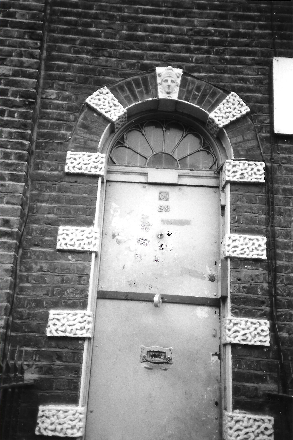
{
"id": 44,
"title": "Doorcase at 29 New Road, March 1992",
"author": {
"id": 21,
"username": "IsobelWatson"
},
"feature": {
"id": 924,
"type": "Feature",
"geometry": {
"type": "MultiPolygon",
"coordinates": [
[
[
[
-0.062310971802283,
51.5154816525524
],
[
-0.062193018281882,
51.51549080543516
],
[
-0.062181823614174,
51.515444742358376
],
[
-0.06229920642667,
51.51543563376635
],
[
-0.062310971802283,
51.5154816525524
]
]
]
]
},
"properties": {
"b_number": "29",
"b_name": "",
"street": "New Road",
"address": "29 New Road",
"feature_type": "WHITECHAPEL_BUILDING",
"count": 6,
"search_str": "29 New Road"
},
"tags": []
},
"file": "https://surveyoflondon.org/media/uploads/features/924/29%20New%20Road%20doorcase%20March%201992.jpg",
"description": "",
"copyright": false,
"created": "2016-06-20"
},
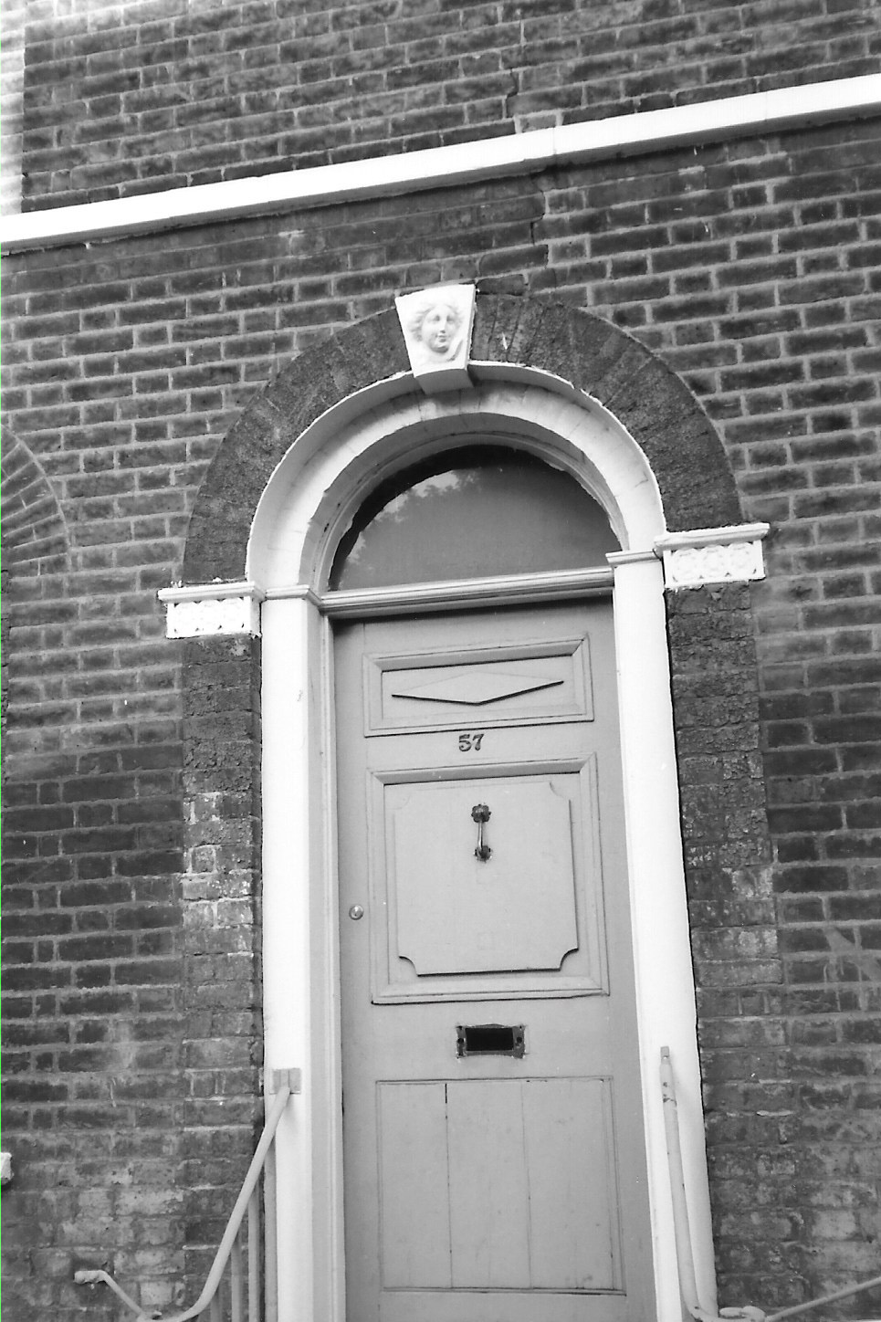
{
"id": 45,
"title": "57 New Road, doorcase, photographed 1990s",
"author": {
"id": 21,
"username": "IsobelWatson"
},
"feature": {
"id": 821,
"type": "Feature",
"geometry": {
"type": "MultiPolygon",
"coordinates": [
[
[
[
-0.062517507450894,
51.51634384703358
],
[
-0.062390537344024,
51.516356187184805
],
[
-0.062346219677177,
51.5161624962619
],
[
-0.062470666583065,
51.516151333412196
],
[
-0.062517507450894,
51.51634384703358
]
]
]
]
},
"properties": {
"b_number": "55-61",
"b_name": "",
"street": "New Road",
"address": "55-61 New Road",
"feature_type": "WHITECHAPEL_BUILDING",
"count": 2,
"search_str": "55-61 New Road"
},
"tags": []
},
"file": "https://surveyoflondon.org/media/uploads/features/821/57%20New%20Road%20doorcase%20n.d..jpg",
"description": "",
"copyright": false,
"created": "2016-06-20"
},
{
"id": 46,
"title": "77 and 79 New Road, March 1992",
"author": {
"id": 21,
"username": "IsobelWatson"
},
"feature": {
"id": 817,
"type": "Feature",
"geometry": {
"type": "MultiPolygon",
"coordinates": [
[
[
[
-0.062626522926431,
51.516778806201664
],
[
-0.062497313938441,
51.5167905841208
],
[
-0.062483026406767,
51.516716436730874
],
[
-0.062607630853261,
51.51670416460708
],
[
-0.062626522926431,
51.516778806201664
]
]
]
]
},
"properties": {
"b_number": "77-79",
"b_name": "",
"street": "New Road",
"address": "77-79 New Road",
"feature_type": "WHITECHAPEL_BUILDING",
"count": 1,
"search_str": "77-79 New Road"
},
"tags": []
},
"file": "https://surveyoflondon.org/media/uploads/features/816/77-79%20New%20Road%20March%201992.jpg",
"description": "",
"copyright": false,
"created": "2016-06-20"
}
]
}
.jpg)