HTTP 200 OK
Allow: GET, HEAD, OPTIONS
Content-Type: application/json
Vary: Accept
{
"count": 1747,
"next": "https://surveyoflondon.org/api/v1/images/?format=api&page=67",
"previous": "https://surveyoflondon.org/api/v1/images/?format=api&page=65",
"results": [
{
"id": 1540,
"title": "Princess of Prussia, interior, view from south to north in 2019",
"author": {
"id": 27,
"username": "DerekKendall"
},
"feature": {
"id": 1290,
"type": "Feature",
"geometry": {
"type": "MultiPolygon",
"coordinates": [
[
[
[
-0.070515351299897,
51.511581845779865
],
[
-0.070458535269443,
51.51143123442822
],
[
-0.0705009342948,
51.51142400353988
],
[
-0.070490018512607,
51.51139399886158
],
[
-0.07051545384739,
51.51139090854125
],
[
-0.070583746192274,
51.51157127501072
],
[
-0.070564771642518,
51.51157434131644
],
[
-0.070561921194683,
51.511577641177794
],
[
-0.070540207323307,
51.51158137754552
],
[
-0.070534920857582,
51.51157895134292
],
[
-0.070515351299897,
51.511581845779865
]
]
]
]
},
"properties": {
"b_number": "15",
"b_name": "",
"street": "Prescot Street",
"address": "Princess Of Prussia, 15 Prescot Street",
"feature_type": "WHITECHAPEL_BUILDING",
"count": 7,
"search_str": "Princess Of Prussia, 15 Prescot Street"
},
"tags": []
},
"file": "https://surveyoflondon.org/media/uploads/features/1290/SoL%20Whitechapel%20102637.jpg",
"description": "",
"copyright": true,
"created": "2019-03-05"
},
{
"id": 1319,
"title": "1 Dock Street and adjacent buildings in 2018 (distant view)",
"author": {
"id": 27,
"username": "DerekKendall"
},
"feature": {
"id": 1368,
"type": "Feature",
"geometry": {
"type": "MultiPolygon",
"coordinates": [
[
[
[
-0.068304836027203,
51.51073531158041
],
[
-0.068280626941554,
51.51066731775845
],
[
-0.068273645510051,
51.51064349252156
],
[
-0.068344140610016,
51.51063057393707
],
[
-0.068360428462064,
51.51067502754345
],
[
-0.068363636587595,
51.51068728948646
],
[
-0.068362263104961,
51.510697731803
],
[
-0.068356160539397,
51.5107098403773
],
[
-0.068349825933683,
51.51071642196578
],
[
-0.068338811399467,
51.5107235078495
],
[
-0.068328323844215,
51.5107291489489
],
[
-0.068318877871198,
51.510733223642234
],
[
-0.068304836027203,
51.51073531158041
]
]
]
]
},
"properties": {
"b_number": "1",
"b_name": "",
"street": "Dock Street",
"address": "1 Dock Street",
"feature_type": "WHITECHAPEL_BUILDING",
"count": 8,
"search_str": "1 Dock Street"
},
"tags": []
},
"file": "https://surveyoflondon.org/media/uploads/features/1368/SoL%20Whitechapel%20102073.jpg",
"description": "",
"copyright": true,
"created": "2018-08-13"
},
{
"id": 1546,
"title": "Wilton's, high-level view from the west in 2019",
"author": {
"id": 27,
"username": "DerekKendall"
},
"feature": {
"id": 1392,
"type": "Feature",
"geometry": {
"type": "MultiPolygon",
"coordinates": [
[
[
[
-0.066897382560978,
51.51047185184401
],
[
-0.066897150320887,
51.510543358461234
],
[
-0.066964310871808,
51.51054939761258
],
[
-0.067031736648758,
51.51055546057313
],
[
-0.067033159620775,
51.51054385631446
],
[
-0.067124985785421,
51.51055249759738
],
[
-0.067119646867151,
51.510573278551
],
[
-0.067097006082147,
51.51057630354935
],
[
-0.067064204301052,
51.510690877240464
],
[
-0.066813595729658,
51.51071232706844
],
[
-0.066808845661517,
51.510692481646345
],
[
-0.066750873450789,
51.51069733978511
],
[
-0.066731248551372,
51.51054469318253
],
[
-0.066802206282857,
51.51054121190127
],
[
-0.066805453245557,
51.51046452251118
],
[
-0.066897382560978,
51.51047185184401
]
]
]
]
},
"properties": {
"b_number": "1",
"b_name": "Wilton's Music Hall",
"street": "Graces Alley",
"address": "Wilton's Music Hall, 1 Graces Alley",
"feature_type": "WHITECHAPEL_BUILDING",
"count": 23,
"search_str": "Wilton's Music Hall"
},
"tags": [
"Wilton's Music Hall"
]
},
"file": "https://surveyoflondon.org/media/uploads/features/1392/SoL%20Whitechapel%20102655.jpg",
"description": "",
"copyright": true,
"created": "2019-03-05"
},
{
"id": 1398,
"title": "Wellclose Square's west side from the northeast around 1970 (photograph by Dan Cruickshank)",
"author": {
"id": 268,
"username": "DanCruickshank"
},
"feature": {
"id": 1395,
"type": "Feature",
"geometry": {
"type": "MultiPolygon",
"coordinates": [
[
[
[
-0.06734277723579,
51.5101408267643
],
[
-0.066910949136799,
51.510217428527255
],
[
-0.066795977317392,
51.50998414164829
],
[
-0.066852430868868,
51.50997111905564
],
[
-0.066833669508271,
51.50993011276243
],
[
-0.066709688224837,
51.50995364978504
],
[
-0.066597753455944,
51.50973669156566
],
[
-0.067039183086463,
51.50965327261519
],
[
-0.067087140764219,
51.50975289871178
],
[
-0.067115318173266,
51.50974754930748
],
[
-0.067147894414189,
51.50981436423853
],
[
-0.067117953240777,
51.50981735903555
],
[
-0.067140193085813,
51.50986423647582
],
[
-0.067209730295633,
51.509850266595954
],
[
-0.06734277723579,
51.5101408267643
]
]
]
]
},
"properties": {
"b_number": "",
"b_name": "Shapla Primary School",
"street": "Wellclose Square",
"address": "Shapla Primary School",
"feature_type": "WHITECHAPEL_BUILDING",
"count": 11,
"search_str": "Shapla Primary School"
},
"tags": []
},
"file": "https://surveyoflondon.org/media/uploads/features/1395/00360004.jpg",
"description": "",
"copyright": true,
"created": "2018-11-13"
},
{
"id": 1547,
"title": "26-27 Wellclose Square with sugarhouse and houses on Well (Ensign) Street, from a lease plan of 1851",
"author": {
"id": 82,
"username": "HelenJones"
},
"feature": {
"id": 1395,
"type": "Feature",
"geometry": {
"type": "MultiPolygon",
"coordinates": [
[
[
[
-0.06734277723579,
51.5101408267643
],
[
-0.066910949136799,
51.510217428527255
],
[
-0.066795977317392,
51.50998414164829
],
[
-0.066852430868868,
51.50997111905564
],
[
-0.066833669508271,
51.50993011276243
],
[
-0.066709688224837,
51.50995364978504
],
[
-0.066597753455944,
51.50973669156566
],
[
-0.067039183086463,
51.50965327261519
],
[
-0.067087140764219,
51.50975289871178
],
[
-0.067115318173266,
51.50974754930748
],
[
-0.067147894414189,
51.50981436423853
],
[
-0.067117953240777,
51.50981735903555
],
[
-0.067140193085813,
51.50986423647582
],
[
-0.067209730295633,
51.509850266595954
],
[
-0.06734277723579,
51.5101408267643
]
]
]
]
},
"properties": {
"b_number": "",
"b_name": "Shapla Primary School",
"street": "Wellclose Square",
"address": "Shapla Primary School",
"feature_type": "WHITECHAPEL_BUILDING",
"count": 11,
"search_str": "Shapla Primary School"
},
"tags": []
},
"file": "https://surveyoflondon.org/media/uploads/features/1395/wellclose%20square%201%20(1).jpg",
"description": "",
"copyright": true,
"created": "2019-03-05"
},
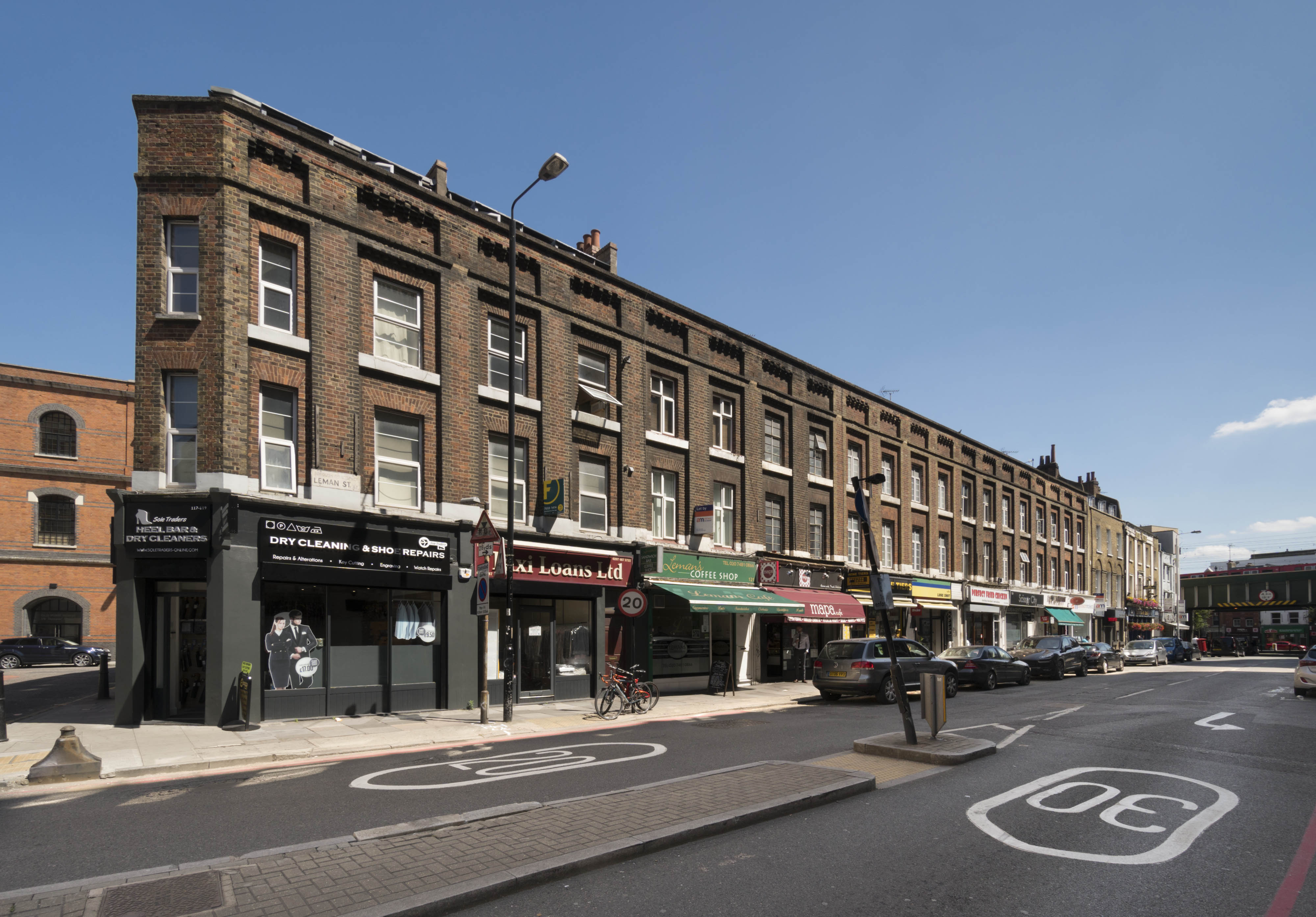
{
"id": 1551,
"title": "117-135 Leman Street from the northwest in 2017",
"author": {
"id": 27,
"username": "DerekKendall"
},
"feature": {
"id": 1268,
"type": "Feature",
"geometry": {
"type": "MultiPolygon",
"coordinates": [
[
[
[
-0.068840007487921,
51.511844165501124
],
[
-0.068942749136552,
51.51181880198631
],
[
-0.068970702779346,
51.51185345887521
],
[
-0.068958897027825,
51.511866155464546
],
[
-0.068866713728094,
51.51188288709081
],
[
-0.068840007487921,
51.511844165501124
]
]
]
]
},
"properties": {
"b_number": "117-119",
"b_name": "",
"street": "Leman Street",
"address": "117-119 Leman Street",
"feature_type": "WHITECHAPEL_BUILDING",
"count": 4,
"search_str": "117-119 Leman Street"
},
"tags": [
"G. W. Mayhew"
]
},
"file": "https://surveyoflondon.org/media/uploads/features/1268/SoL%20Whitechapel%20101096.jpg",
"description": "",
"copyright": true,
"created": "2019-03-20"
},
{
"id": 1553,
"title": "137-143 Leman Street from the northwest in 2017",
"author": {
"id": 27,
"username": "DerekKendall"
},
"feature": {
"id": 1278,
"type": "Feature",
"geometry": {
"type": "MultiPolygon",
"coordinates": [
[
[
[
-0.068658408633023,
51.51146627369375
],
[
-0.068538811045101,
51.511508211569634
],
[
-0.068452591919085,
51.511519961499616
],
[
-0.068438018925483,
51.51147592407288
],
[
-0.068395210250652,
51.5114724857868
],
[
-0.068387609820431,
51.511430171877294
],
[
-0.068534751108972,
51.51140353437027
],
[
-0.068607151788316,
51.511390427340054
],
[
-0.068658408633023,
51.51146627369375
]
]
]
]
},
"properties": {
"b_number": "137",
"b_name": "",
"street": "Leman Street",
"address": "137 Leman Street",
"feature_type": "WHITECHAPEL_BUILDING",
"count": 4,
"search_str": "137 Leman Street"
},
"tags": []
},
"file": "https://surveyoflondon.org/media/uploads/features/1278/SoL%20Whitechapel%20101098.jpg",
"description": "",
"copyright": true,
"created": "2019-03-20"
},
{
"id": 1554,
"title": "137 Leman Street in 2017",
"author": {
"id": 27,
"username": "DerekKendall"
},
"feature": {
"id": 1278,
"type": "Feature",
"geometry": {
"type": "MultiPolygon",
"coordinates": [
[
[
[
-0.068658408633023,
51.51146627369375
],
[
-0.068538811045101,
51.511508211569634
],
[
-0.068452591919085,
51.511519961499616
],
[
-0.068438018925483,
51.51147592407288
],
[
-0.068395210250652,
51.5114724857868
],
[
-0.068387609820431,
51.511430171877294
],
[
-0.068534751108972,
51.51140353437027
],
[
-0.068607151788316,
51.511390427340054
],
[
-0.068658408633023,
51.51146627369375
]
]
]
]
},
"properties": {
"b_number": "137",
"b_name": "",
"street": "Leman Street",
"address": "137 Leman Street",
"feature_type": "WHITECHAPEL_BUILDING",
"count": 4,
"search_str": "137 Leman Street"
},
"tags": []
},
"file": "https://surveyoflondon.org/media/uploads/features/1278/SoL%20Whitechapel%20101099.jpg",
"description": "",
"copyright": true,
"created": "2019-03-20"
},
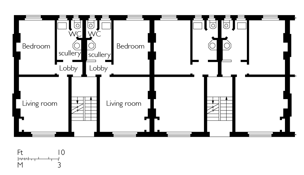
{
"id": 1549,
"title": "Fieldgate Mansions, typical ground-floor plan as built in 1905-7",
"author": {
"id": 82,
"username": "HelenJones"
},
"feature": {
"id": 702,
"type": "Feature",
"geometry": {
"type": "MultiPolygon",
"coordinates": [
[
[
[
-0.063309229819482,
51.516979932356605
],
[
-0.063422732686526,
51.516967033894076
],
[
-0.06344591791144,
51.517064226228214
],
[
-0.063332831226254,
51.517077296906365
],
[
-0.063309229819482,
51.516979932356605
]
]
]
]
},
"properties": {
"b_number": "1",
"b_name": "Fieldgate Mansions",
"street": "Myrdle Street",
"address": "Fieldgate Mansions, Myrdle Street",
"feature_type": "WHITECHAPEL_BUILDING",
"count": 6,
"search_str": "Fieldgate Mansions"
},
"tags": [
"Davis Brothers",
"Rowland Plumbe"
]
},
"file": "https://surveyoflondon.org/media/uploads/features/702/Fieldgate%20mansions%20final.jpg",
"description": "(based on drawing in Tower Hamlets Local History Library and Archives Building Control file 40670",
"copyright": false,
"created": "2019-03-19"
},
{
"id": 1550,
"title": "117-135 Leman Street from the southwest in 2017",
"author": {
"id": 27,
"username": "DerekKendall"
},
"feature": {
"id": 1268,
"type": "Feature",
"geometry": {
"type": "MultiPolygon",
"coordinates": [
[
[
[
-0.068840007487921,
51.511844165501124
],
[
-0.068942749136552,
51.51181880198631
],
[
-0.068970702779346,
51.51185345887521
],
[
-0.068958897027825,
51.511866155464546
],
[
-0.068866713728094,
51.51188288709081
],
[
-0.068840007487921,
51.511844165501124
]
]
]
]
},
"properties": {
"b_number": "117-119",
"b_name": "",
"street": "Leman Street",
"address": "117-119 Leman Street",
"feature_type": "WHITECHAPEL_BUILDING",
"count": 4,
"search_str": "117-119 Leman Street"
},
"tags": [
"G. W. Mayhew"
]
},
"file": "https://surveyoflondon.org/media/uploads/features/1268/SoL%20Whitechapel%20101094.jpg",
"description": "",
"copyright": true,
"created": "2019-03-20"
},
{
"id": 1552,
"title": "121-129 Leman Street from the west in 2017",
"author": {
"id": 27,
"username": "DerekKendall"
},
"feature": {
"id": 1268,
"type": "Feature",
"geometry": {
"type": "MultiPolygon",
"coordinates": [
[
[
[
-0.068840007487921,
51.511844165501124
],
[
-0.068942749136552,
51.51181880198631
],
[
-0.068970702779346,
51.51185345887521
],
[
-0.068958897027825,
51.511866155464546
],
[
-0.068866713728094,
51.51188288709081
],
[
-0.068840007487921,
51.511844165501124
]
]
]
]
},
"properties": {
"b_number": "117-119",
"b_name": "",
"street": "Leman Street",
"address": "117-119 Leman Street",
"feature_type": "WHITECHAPEL_BUILDING",
"count": 4,
"search_str": "117-119 Leman Street"
},
"tags": [
"G. W. Mayhew"
]
},
"file": "https://surveyoflondon.org/media/uploads/features/1268/SoL%20Whitechapel%20101097.jpg",
"description": "",
"copyright": true,
"created": "2019-03-20"
},
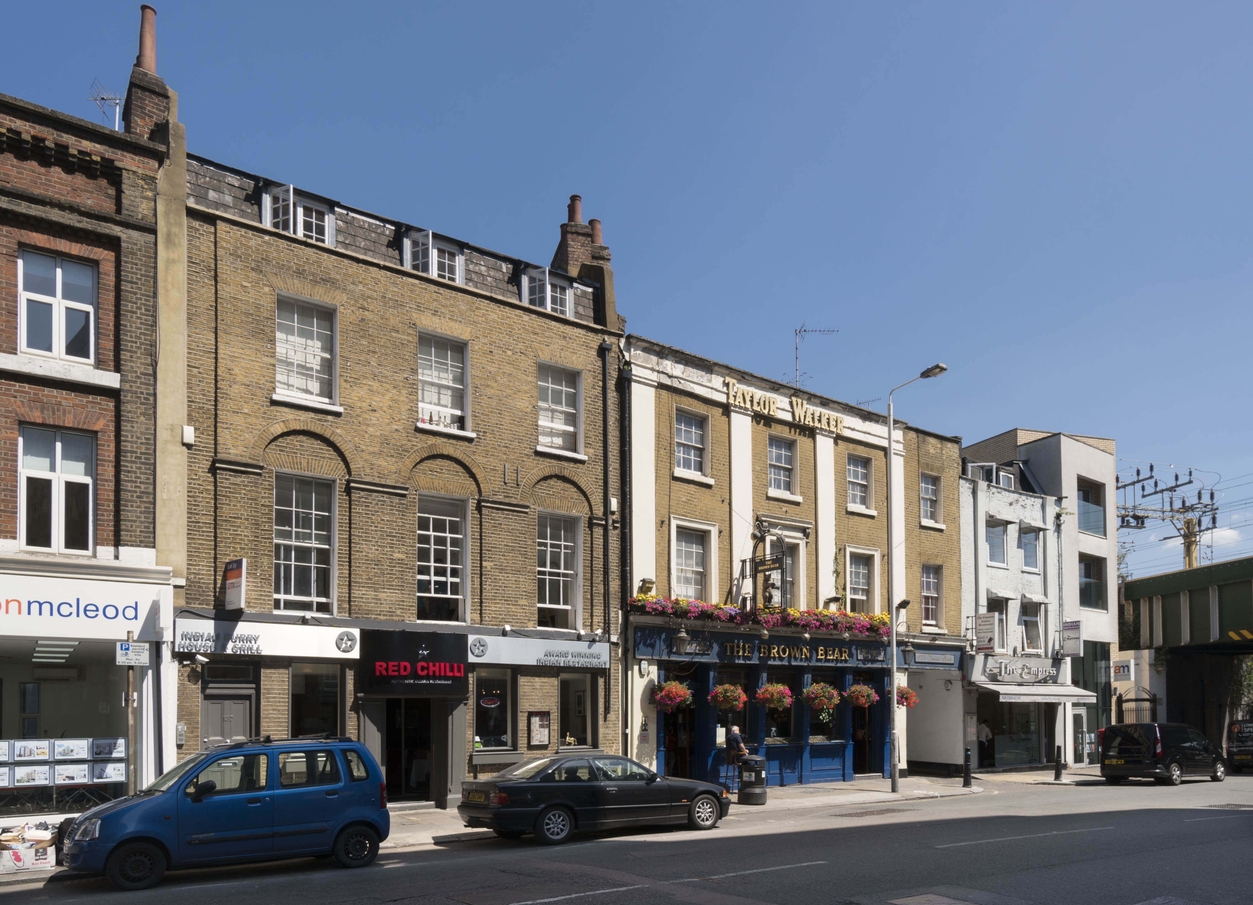
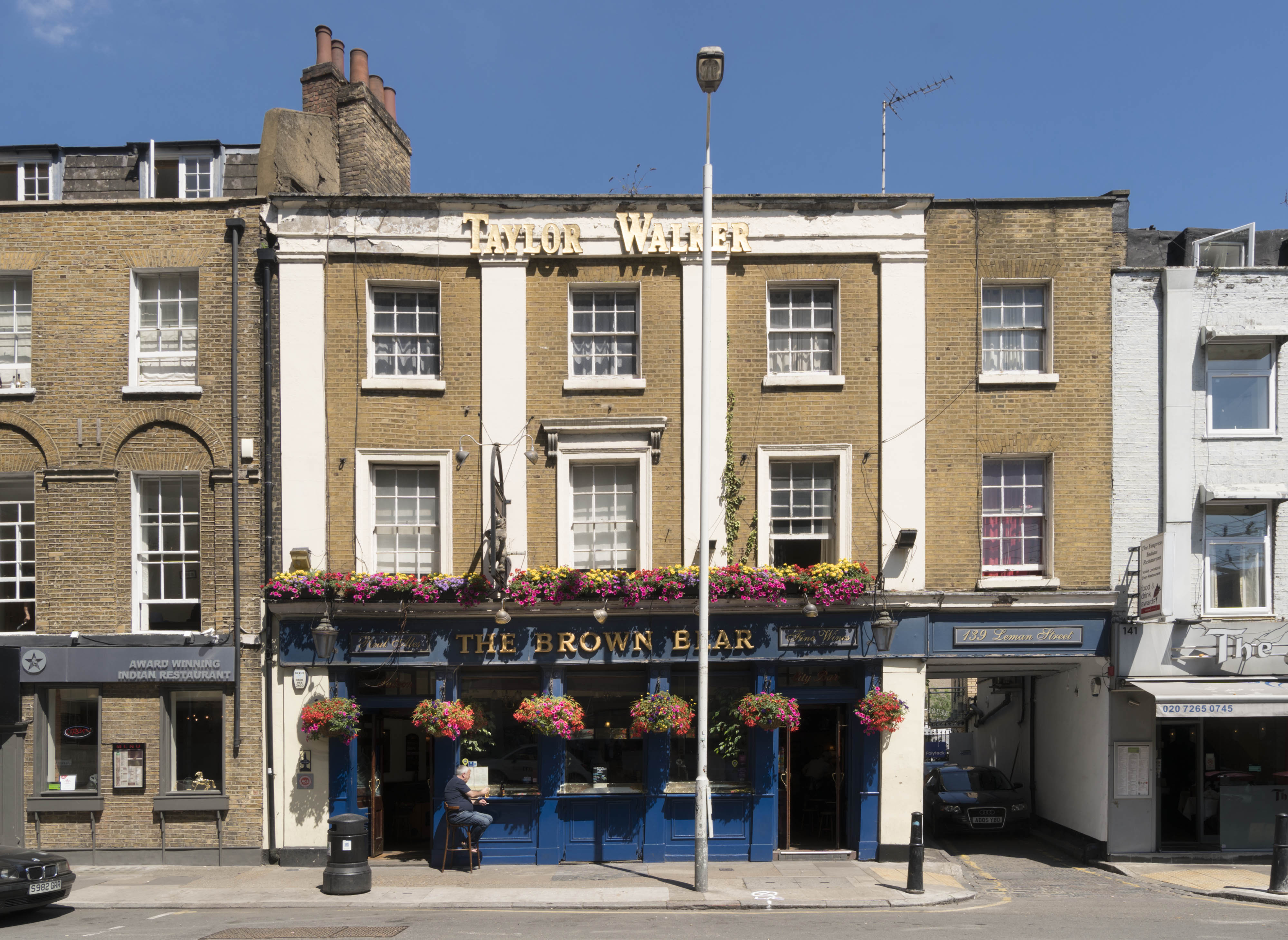
{
"id": 1555,
"title": "The Brown Bear public house, 139 Leman Street, in July 2017",
"author": {
"id": 27,
"username": "DerekKendall"
},
"feature": {
"id": 1279,
"type": "Feature",
"geometry": {
"type": "MultiPolygon",
"coordinates": [
[
[
[
-0.068607151788316,
51.511390427340054
],
[
-0.068400693495523,
51.51142780330215
],
[
-0.068389016275717,
51.511404167902676
],
[
-0.068368044928817,
51.511407578266905
],
[
-0.068328932977181,
51.51135215233573
],
[
-0.068468004764801,
51.51132778218799
],
[
-0.068463650698236,
51.511304676705464
],
[
-0.06853233892788,
51.511294270529675
],
[
-0.068607151788316,
51.511390427340054
]
]
]
]
},
"properties": {
"b_number": "139",
"b_name": "",
"street": "Leman Street",
"address": "The Brown Bear, 139 Leman Street",
"feature_type": "WHITECHAPEL_BUILDING",
"count": 6,
"search_str": "The Brown Bear, 139 Leman Street"
},
"tags": []
},
"file": "https://surveyoflondon.org/media/uploads/features/1279/SoL%20Whitechapel%20101100.jpg",
"description": "",
"copyright": true,
"created": "2019-03-20"
},
{
"id": 1648,
"title": "1-13 Adler Street, flatted factory as built in 1963-4",
"author": {
"id": 82,
"username": "HelenJones"
},
"feature": {
"id": 98,
"type": "Feature",
"geometry": {
"type": "MultiPolygon",
"coordinates": [
[
[
[
-0.067624278430134,
51.51582673751899
],
[
-0.067266745341531,
51.51526486267481
],
[
-0.067443979235003,
51.51522070947007
],
[
-0.067791271739465,
51.515783687309835
],
[
-0.067624278430134,
51.51582673751899
]
]
]
]
},
"properties": {
"b_number": "1-13",
"b_name": "",
"street": "Adler Street",
"address": "1-13 Adler Street",
"feature_type": "WHITECHAPEL_BUILDING",
"count": 7,
"search_str": "1-13 Adler Street"
},
"tags": [
"flatted factory",
"London County Council"
]
},
"file": "https://surveyoflondon.org/media/uploads/features/98/Adler%20Street%20elevation%202.jpg",
"description": "",
"copyright": true,
"created": "2019-08-19"
},
{
"id": 1556,
"title": "The Brown Bear's facade in 2017",
"author": {
"id": 27,
"username": "DerekKendall"
},
"feature": {
"id": 1279,
"type": "Feature",
"geometry": {
"type": "MultiPolygon",
"coordinates": [
[
[
[
-0.068607151788316,
51.511390427340054
],
[
-0.068400693495523,
51.51142780330215
],
[
-0.068389016275717,
51.511404167902676
],
[
-0.068368044928817,
51.511407578266905
],
[
-0.068328932977181,
51.51135215233573
],
[
-0.068468004764801,
51.51132778218799
],
[
-0.068463650698236,
51.511304676705464
],
[
-0.06853233892788,
51.511294270529675
],
[
-0.068607151788316,
51.511390427340054
]
]
]
]
},
"properties": {
"b_number": "139",
"b_name": "",
"street": "Leman Street",
"address": "The Brown Bear, 139 Leman Street",
"feature_type": "WHITECHAPEL_BUILDING",
"count": 6,
"search_str": "The Brown Bear, 139 Leman Street"
},
"tags": []
},
"file": "https://surveyoflondon.org/media/uploads/features/1279/SoL%20Whitechapel%20101101.jpg",
"description": "",
"copyright": true,
"created": "2019-03-20"
},
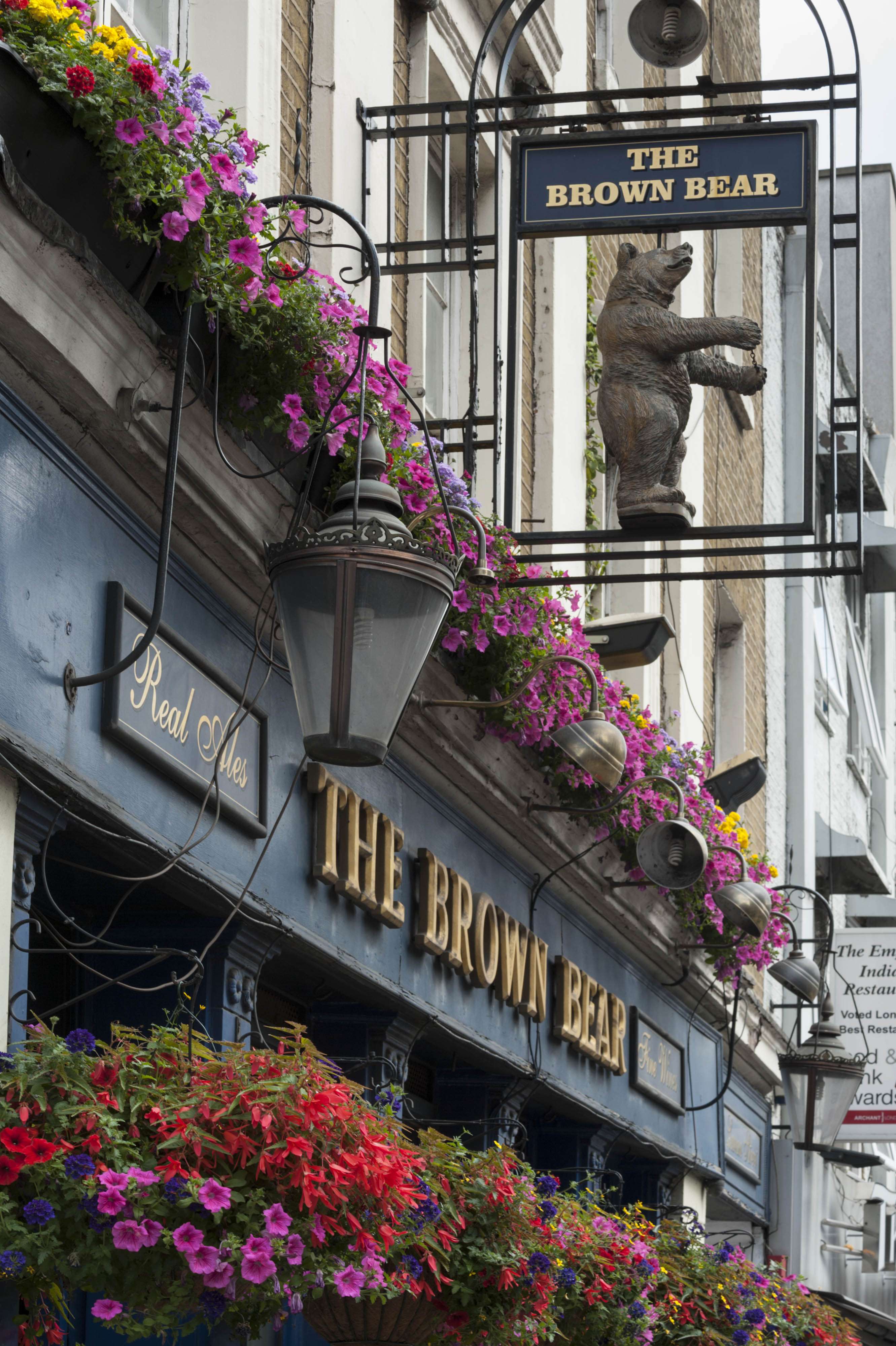
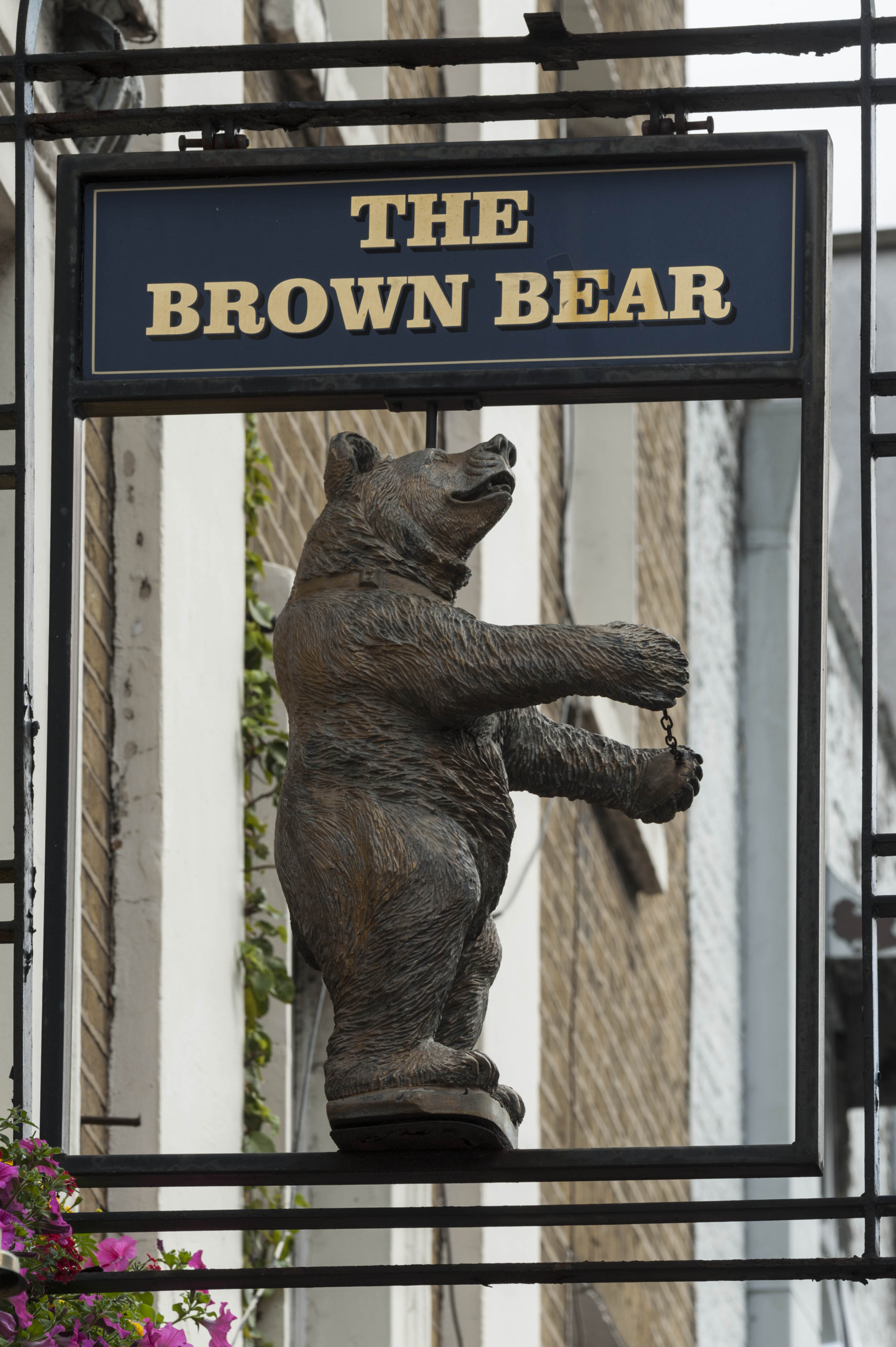
{
"id": 1557,
"title": "The Brown Bear's sign in 2017",
"author": {
"id": 27,
"username": "DerekKendall"
},
"feature": {
"id": 1279,
"type": "Feature",
"geometry": {
"type": "MultiPolygon",
"coordinates": [
[
[
[
-0.068607151788316,
51.511390427340054
],
[
-0.068400693495523,
51.51142780330215
],
[
-0.068389016275717,
51.511404167902676
],
[
-0.068368044928817,
51.511407578266905
],
[
-0.068328932977181,
51.51135215233573
],
[
-0.068468004764801,
51.51132778218799
],
[
-0.068463650698236,
51.511304676705464
],
[
-0.06853233892788,
51.511294270529675
],
[
-0.068607151788316,
51.511390427340054
]
]
]
]
},
"properties": {
"b_number": "139",
"b_name": "",
"street": "Leman Street",
"address": "The Brown Bear, 139 Leman Street",
"feature_type": "WHITECHAPEL_BUILDING",
"count": 6,
"search_str": "The Brown Bear, 139 Leman Street"
},
"tags": []
},
"file": "https://surveyoflondon.org/media/uploads/features/1279/SoL%20Whitechapel%20101102.jpg",
"description": "",
"copyright": true,
"created": "2019-03-20"
},
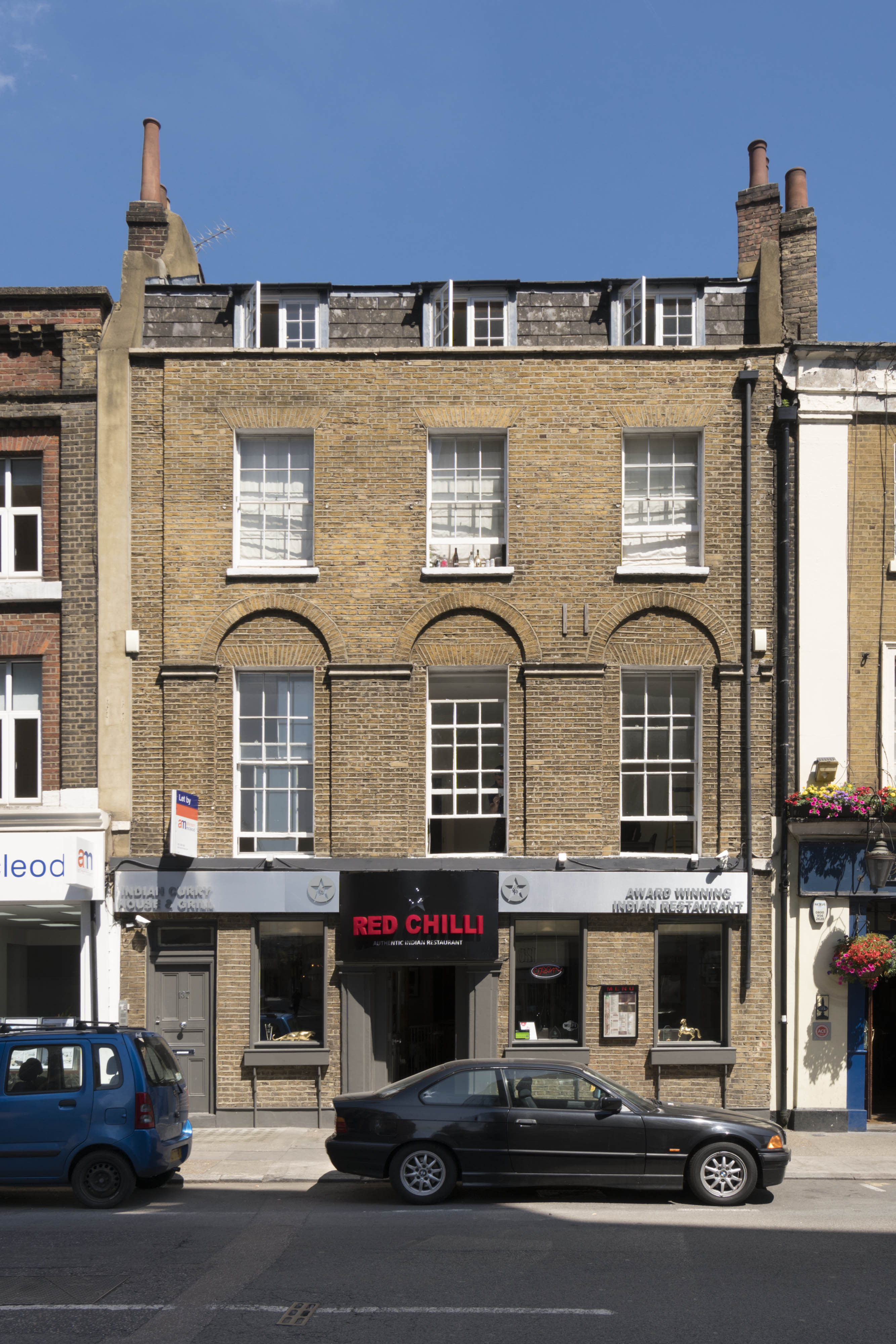
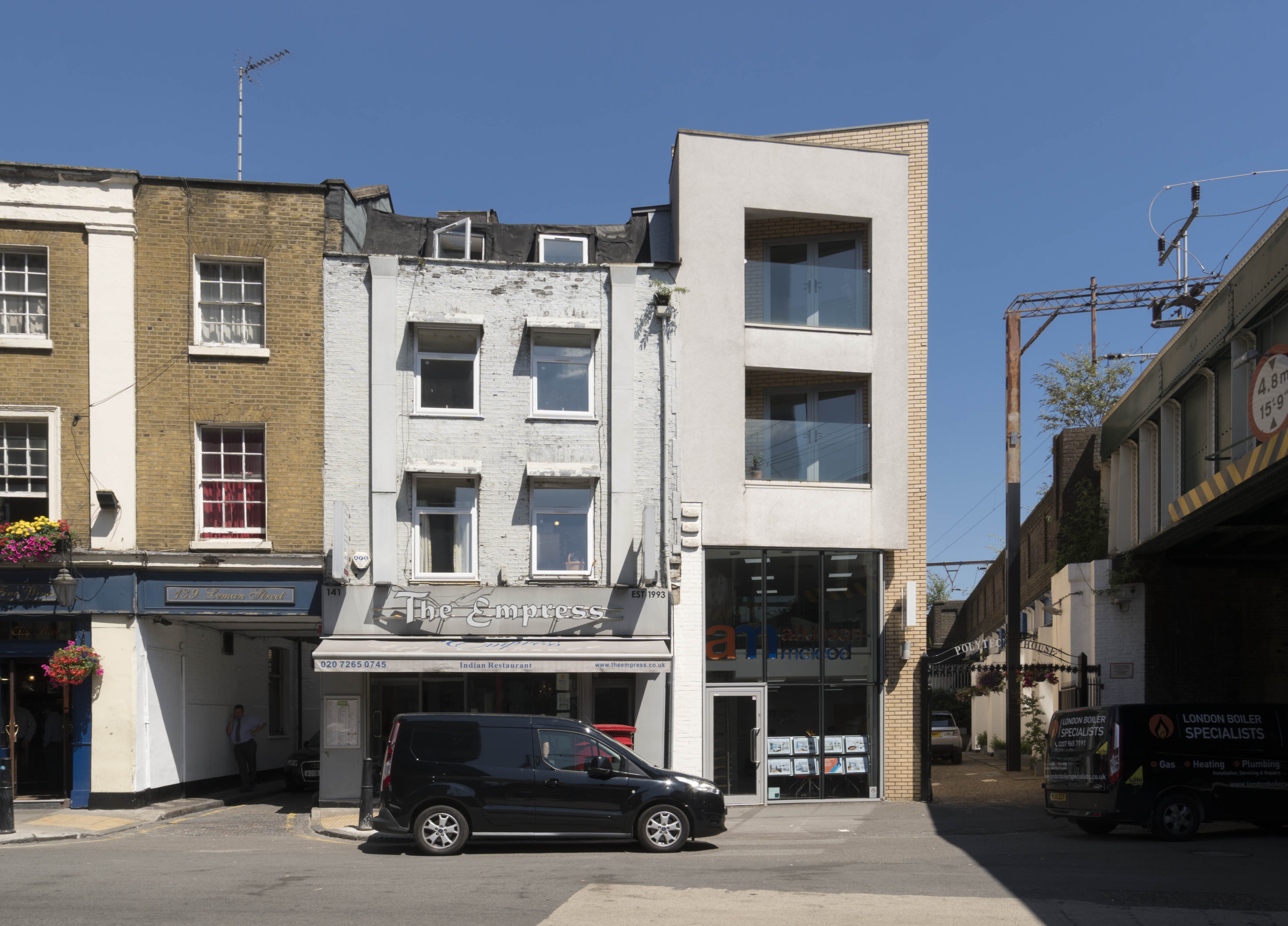
{
"id": 1558,
"title": "141-143 Leman Street in July 2017",
"author": {
"id": 27,
"username": "DerekKendall"
},
"feature": {
"id": 1280,
"type": "Feature",
"geometry": {
"type": "MultiPolygon",
"coordinates": [
[
[
[
-0.06853233892788,
51.511294270529675
],
[
-0.06831779901845,
51.51132677289194
],
[
-0.068287135103738,
51.51127470378602
],
[
-0.068485635339,
51.51124398813024
],
[
-0.06853233892788,
51.511294270529675
]
]
]
]
},
"properties": {
"b_number": "141",
"b_name": "",
"street": "Leman Street",
"address": "The Empress, 141 Leman Street",
"feature_type": "WHITECHAPEL_BUILDING",
"count": 3,
"search_str": "The Empress, 141 Leman Street"
},
"tags": [
"John Bridgeman"
]
},
"file": "https://surveyoflondon.org/media/uploads/features/1280/SoL%20Whitechapel%20101103.jpg",
"description": "",
"copyright": true,
"created": "2019-03-20"
},
{
"id": 1345,
"title": "Canon Barnett Primary School from Whitechapel High Street in 2018",
"author": {
"id": 27,
"username": "DerekKendall"
},
"feature": {
"id": 399,
"type": "Feature",
"geometry": {
"type": "MultiPolygon",
"coordinates": [
[
[
[
-0.0718106394676,
51.51610397748269
],
[
-0.071910650694868,
51.51607255627536
],
[
-0.072009433966083,
51.51618984809891
],
[
-0.071907256843951,
51.51622171585677
],
[
-0.071907271171249,
51.51622171812537
],
[
-0.071907268076959,
51.51622171909061
],
[
-0.071931795963511,
51.5162521618839
],
[
-0.071610195810633,
51.516352649906445
],
[
-0.071600272401668,
51.516341236744296
],
[
-0.071463340884386,
51.51638740891522
],
[
-0.071422376478407,
51.516309559498886
],
[
-0.07144244173494,
51.51630248744659
],
[
-0.071392341446793,
51.516238646773026
],
[
-0.071558823959752,
51.51618439684411
],
[
-0.071567446232768,
51.516194850907375
],
[
-0.071743764744855,
51.516135543880424
],
[
-0.071736254917458,
51.516127340619526
],
[
-0.0718106394676,
51.51610397748269
]
]
]
]
},
"properties": {
"b_number": "",
"b_name": "Canon Barnett Primary School",
"street": "Gunthorpe Street",
"address": "Canon Barnett School",
"feature_type": "WHITECHAPEL_BUILDING",
"count": 6,
"search_str": "Canon Barnett Primary School"
},
"tags": []
},
"file": "https://surveyoflondon.org/media/uploads/features/399/SoL%20Whitechapel%20102209.jpg",
"description": "",
"copyright": true,
"created": "2018-10-10"
},
{
"id": 1601,
"title": "Whitechapel Peabody Estate, view of central square from southwest in 2019",
"author": {
"id": 27,
"username": "DerekKendall"
},
"feature": {
"id": 1346,
"type": "Feature",
"geometry": {
"type": "MultiPolygon",
"coordinates": [
[
[
[
-0.069067008972636,
51.50986725975222
],
[
-0.069106352740441,
51.5098566757731
],
[
-0.069211130948674,
51.509915623290595
],
[
-0.069230637610419,
51.50991120651011
],
[
-0.069332212512404,
51.51008725367436
],
[
-0.069206709206167,
51.51011545199817
],
[
-0.069067008972636,
51.50986725975222
]
]
]
]
},
"properties": {
"b_number": "",
"b_name": "Darbishire Place (Block M)",
"street": "John Fisher Street",
"address": "Darbishire Place (Block M), John Fisher Street, Peabody Estate Whitechapel",
"feature_type": "WHITECHAPEL_BUILDING",
"count": 10,
"search_str": "Darbishire Place (Block M)"
},
"tags": []
},
"file": "https://surveyoflondon.org/media/uploads/features/1346/SoL%20Whitechapel%20102736.jpg",
"description": "",
"copyright": true,
"created": "2019-04-30"
},
{
"id": 1541,
"title": "View to Sugar House from Prescot Street in 2019",
"author": {
"id": 27,
"username": "DerekKendall"
},
"feature": {
"id": 1264,
"type": "Feature",
"geometry": {
"type": "MultiPolygon",
"coordinates": [
[
[
[
-0.069331963951854,
51.51229594729769
],
[
-0.069137875560046,
51.512351392206085
],
[
-0.068952695054468,
51.51210160696183
],
[
-0.06877706008966,
51.51212449662561
],
[
-0.068766393531184,
51.5121102580591
],
[
-0.068775926288607,
51.51210689932468
],
[
-0.068782151200721,
51.51209293893689
],
[
-0.068742154431936,
51.5120172780914
],
[
-0.068763790231903,
51.51199419623458
],
[
-0.069027145444056,
51.51193993762725
],
[
-0.06905682792721,
51.51194862974888
],
[
-0.069331963951854,
51.51229594729769
]
]
]
]
},
"properties": {
"b_number": "99",
"b_name": "Sugar House, 99 Leman Street",
"street": "Leman Street",
"address": "Sugar House, 99 Leman Street",
"feature_type": "WHITECHAPEL_BUILDING",
"count": 21,
"search_str": "Sugar House, 99 Leman Street"
},
"tags": [
"Co-operative Wholesale Society"
]
},
"file": "https://surveyoflondon.org/media/uploads/features/1264/SoL%20Whitechapel%20102638.jpg",
"description": "",
"copyright": true,
"created": "2019-03-05"
},
{
"id": 1560,
"title": "65 Leman Street from the southwest in 2017",
"author": {
"id": 27,
"username": "DerekKendall"
},
"feature": {
"id": 1046,
"type": "Feature",
"geometry": {
"type": "MultiPolygon",
"coordinates": [
[
[
[
-0.069714718327607,
51.512779796737654
],
[
-0.070041265672745,
51.5131969319805
],
[
-0.069377993137045,
51.51342051283188
],
[
-0.0690271561552,
51.51300045828788
],
[
-0.069714718327607,
51.512779796737654
]
]
]
]
},
"properties": {
"b_number": "65",
"b_name": "",
"street": "Leman Street",
"address": "Drapery Plaza (formerly Student Castle), 65 Leman Street",
"feature_type": "WHITECHAPEL_BUILDING",
"count": 7,
"search_str": "Drapery Plaza (formerly Student Castle), 65 Leman Street"
},
"tags": []
},
"file": "https://surveyoflondon.org/media/uploads/features/1046/SoL%20Whitechapel%20101538.jpg",
"description": "",
"copyright": true,
"created": "2019-03-20"
}
]
}
.jpg)