HTTP 200 OK
Allow: GET, HEAD, OPTIONS
Content-Type: application/json
Vary: Accept
{
"count": 1747,
"next": "https://surveyoflondon.org/api/v1/images/?format=api&page=60",
"previous": "https://surveyoflondon.org/api/v1/images/?format=api&page=58",
"results": [
{
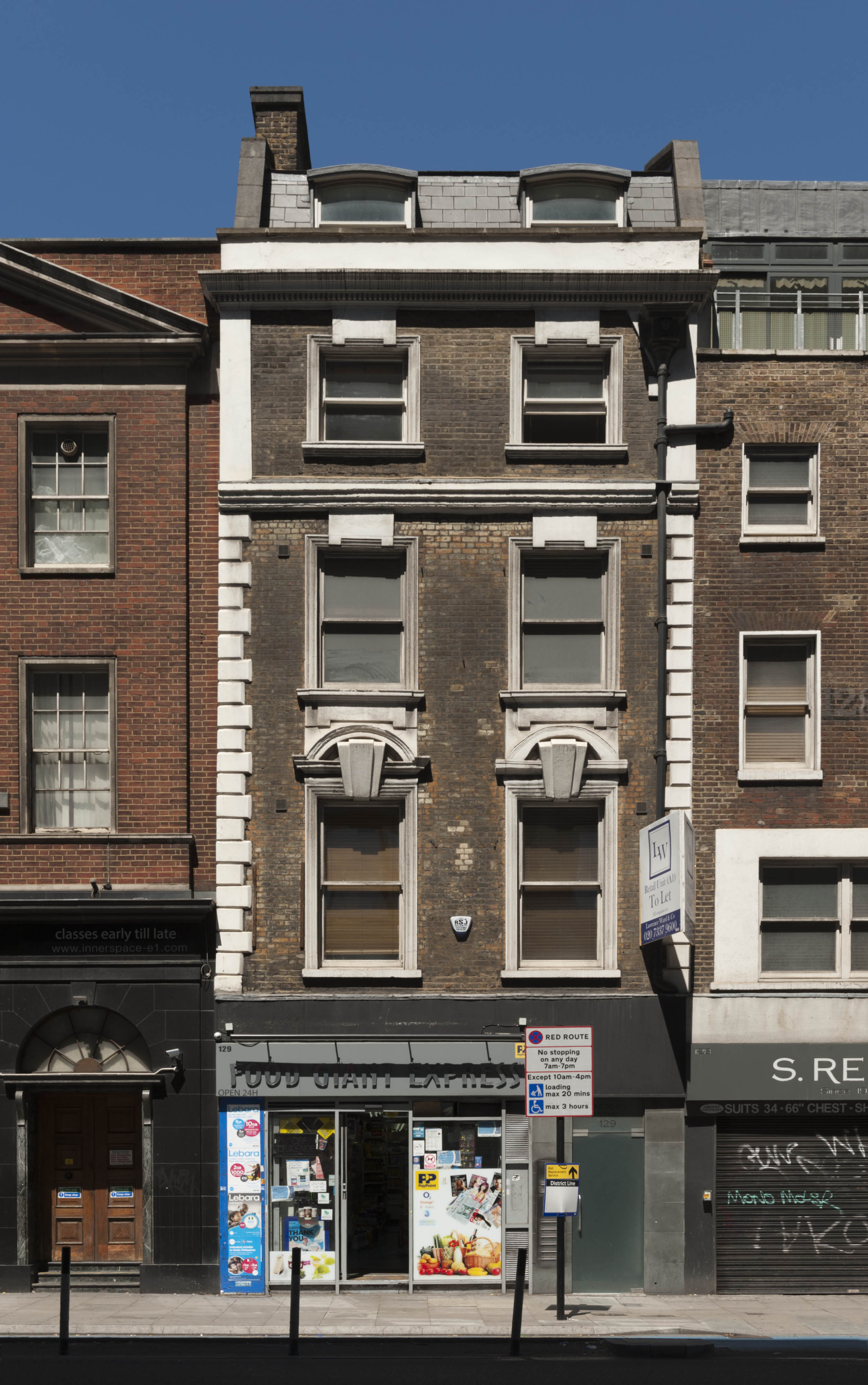
"id": 1224,
"title": "No 129 High Street, June 2017",
"author": {
"id": 27,
"username": "DerekKendall"
},
"feature": {
"id": 408,
"type": "Feature",
"geometry": {
"type": "MultiPolygon",
"coordinates": [
[
[
[
-0.073018667183566,
51.51490651061105
],
[
-0.073096606060918,
51.51488234628924
],
[
-0.073334947906958,
51.51518161105794
],
[
-0.073303515285656,
51.51519449475499
],
[
-0.073178689855913,
51.51507588316901
],
[
-0.073018667183566,
51.51490651061105
]
]
]
]
},
"properties": {
"b_number": "129",
"b_name": "",
"street": "Whitechapel High Street",
"address": "129 Whitechapel High Street, London E1 7PT",
"feature_type": "WHITECHAPEL_BUILDING",
"count": 3,
"search_str": "129 Whitechapel High Street, London E1 7PT"
},
"tags": []
},
"file": "https://surveyoflondon.org/media/uploads/features/408/SoL%20Whitechapel%20100966.jpg",
"description": "",
"copyright": true,
"created": "2018-03-22"
},
{
"id": 1226,
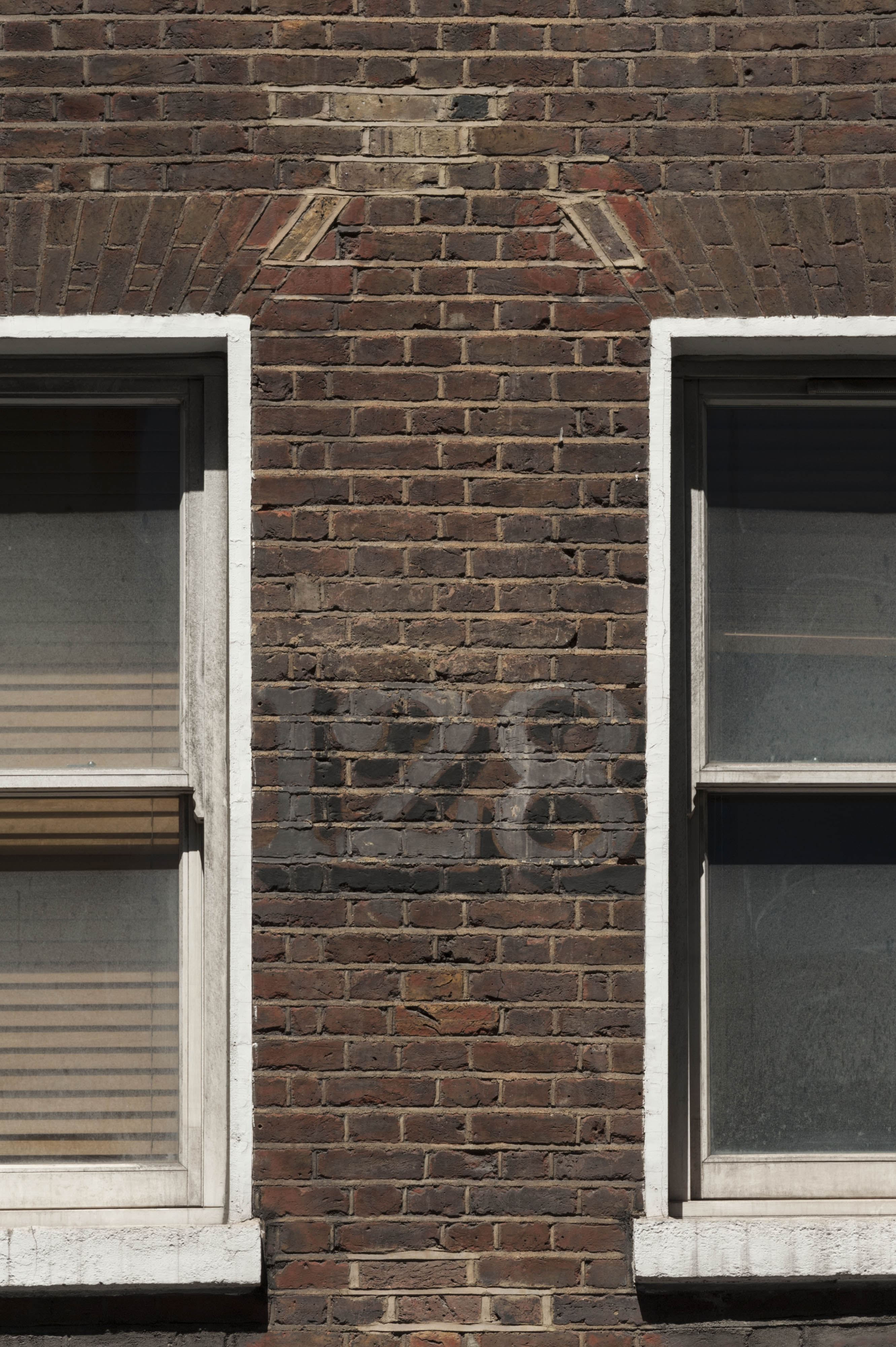
"title": "Early 20th-century painted number on 128 High Street, June 2017",
"author": {
"id": 27,
"username": "DerekKendall"
},
"feature": {
"id": 407,
"type": "Feature",
"geometry": {
"type": "MultiPolygon",
"coordinates": [
[
[
[
-0.072950273191856,
51.51493052559777
],
[
-0.073018678415549,
51.51490651384565
],
[
-0.073178701087915,
51.515075886403494
],
[
-0.073123499137516,
51.51509849896724
],
[
-0.072950273191856,
51.51493052559777
]
]
]
]
},
"properties": {
"b_number": "128",
"b_name": "",
"street": "Whitechapel High Street",
"address": "128 Whitechapel High Street, London E1 7PT",
"feature_type": "WHITECHAPEL_BUILDING",
"count": 5,
"search_str": "128 Whitechapel High Street, London E1 7PT"
},
"tags": []
},
"file": "https://surveyoflondon.org/media/uploads/features/407/SoL%20Whitechapel%20100968.jpg",
"description": "",
"copyright": true,
"created": "2018-03-22"
},
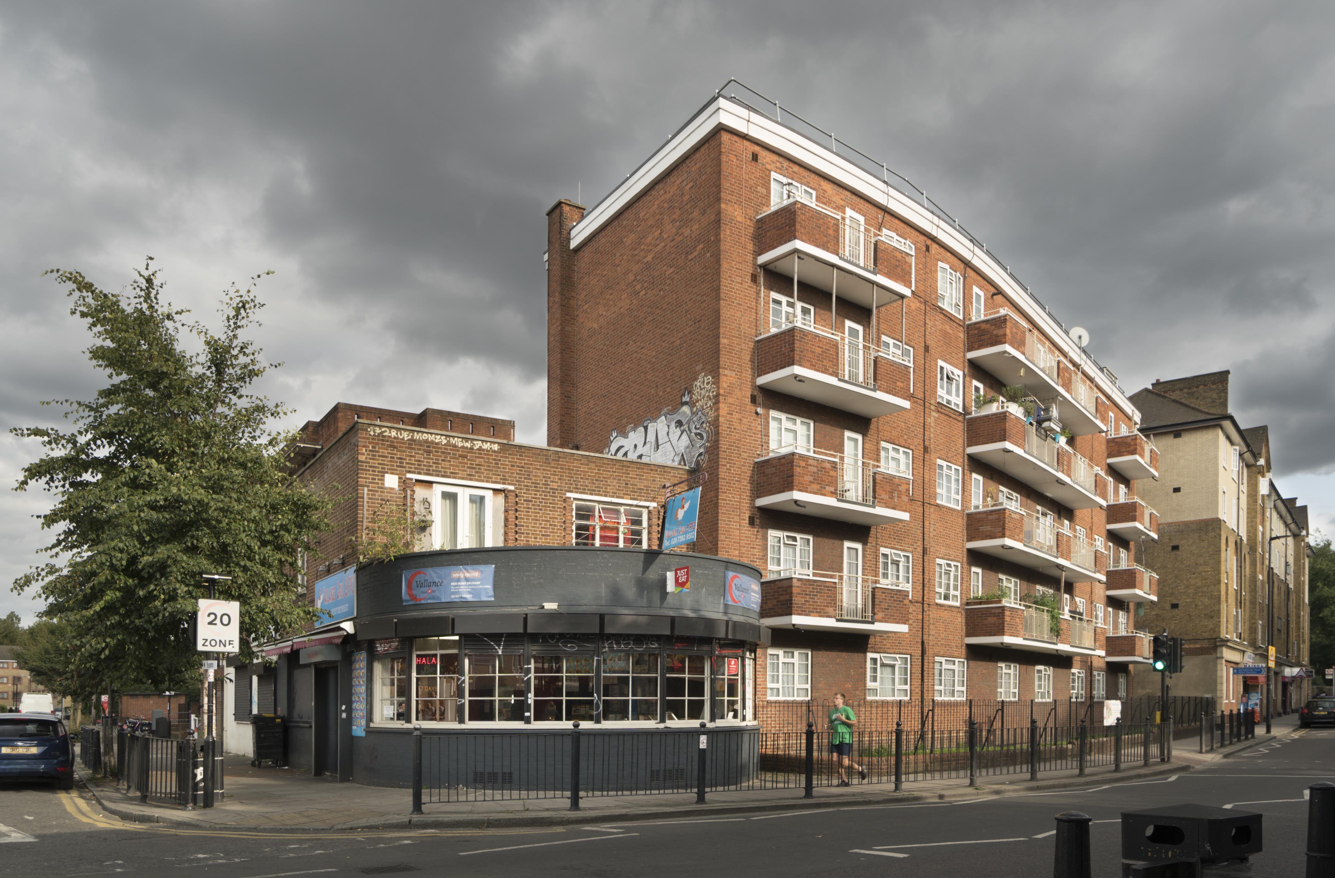
{
"id": 1228,
"title": "Hughes Mansions (with the former Royal George public house), from the northwest in 2018",
"author": {
"id": 27,
"username": "DerekKendall"
},
"feature": {
"id": 1556,
"type": "Feature",
"geometry": {
"type": "MultiPolygon",
"coordinates": [
[
[
[
-0.064193437401757,
51.521779134059805
],
[
-0.063918935778989,
51.52112073829816
],
[
-0.064007184503914,
51.521106457795696
],
[
-0.064274421548764,
51.5217594277036
],
[
-0.064278491442732,
51.521782426444936
],
[
-0.06427244398834,
51.52185363929786
],
[
-0.064315315467284,
51.52188285399571
],
[
-0.064250961026377,
51.52190472335176
],
[
-0.064038260673935,
51.521889521752286
],
[
-0.064054656505137,
51.52182243655561
],
[
-0.064145990896486,
51.52183059887796
],
[
-0.064193437401757,
51.521779134059805
]
]
]
]
},
"properties": {
"b_number": "",
"b_name": "Hughes Mansions",
"street": "",
"address": "Greater Whitechapel: Hughes Mansions",
"feature_type": "GREATER_WHITECHAPEL",
"count": 3,
"search_str": "Hughes Mansions"
},
"tags": []
},
"file": "https://surveyoflondon.org/media/uploads/features/1556/SoL%20Whitechapel%20101981.jpg",
"description": "",
"copyright": true,
"created": "2018-03-27"
},
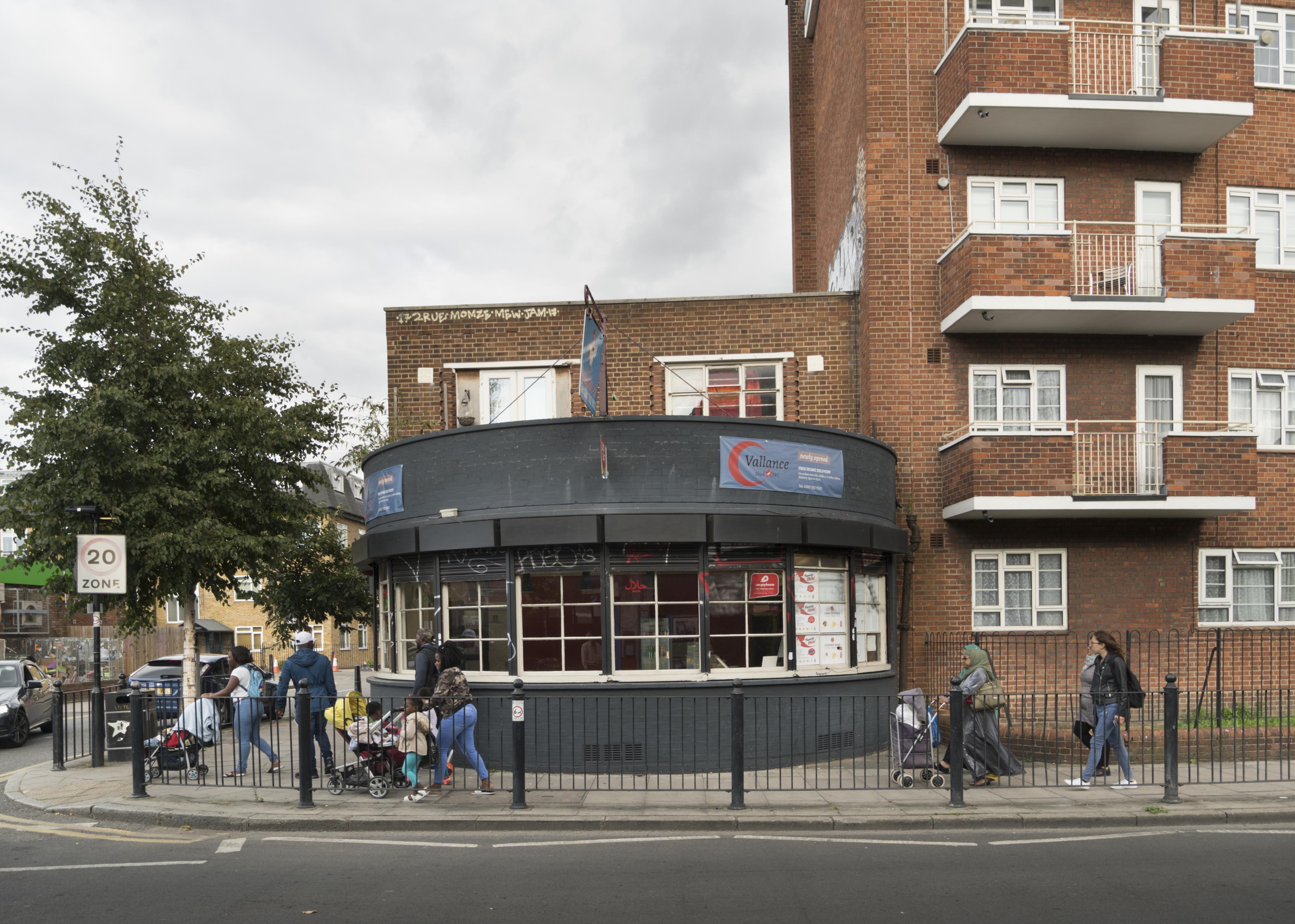
{
"id": 1229,
"title": "Former Royal George public house from the west in 2018",
"author": {
"id": 27,
"username": "DerekKendall"
},
"feature": {
"id": 1556,
"type": "Feature",
"geometry": {
"type": "MultiPolygon",
"coordinates": [
[
[
[
-0.064193437401757,
51.521779134059805
],
[
-0.063918935778989,
51.52112073829816
],
[
-0.064007184503914,
51.521106457795696
],
[
-0.064274421548764,
51.5217594277036
],
[
-0.064278491442732,
51.521782426444936
],
[
-0.06427244398834,
51.52185363929786
],
[
-0.064315315467284,
51.52188285399571
],
[
-0.064250961026377,
51.52190472335176
],
[
-0.064038260673935,
51.521889521752286
],
[
-0.064054656505137,
51.52182243655561
],
[
-0.064145990896486,
51.52183059887796
],
[
-0.064193437401757,
51.521779134059805
]
]
]
]
},
"properties": {
"b_number": "",
"b_name": "Hughes Mansions",
"street": "",
"address": "Greater Whitechapel: Hughes Mansions",
"feature_type": "GREATER_WHITECHAPEL",
"count": 3,
"search_str": "Hughes Mansions"
},
"tags": []
},
"file": "https://surveyoflondon.org/media/uploads/features/1556/SoL%20Whitechapel%20101985.jpg",
"description": "",
"copyright": true,
"created": "2018-03-27"
},
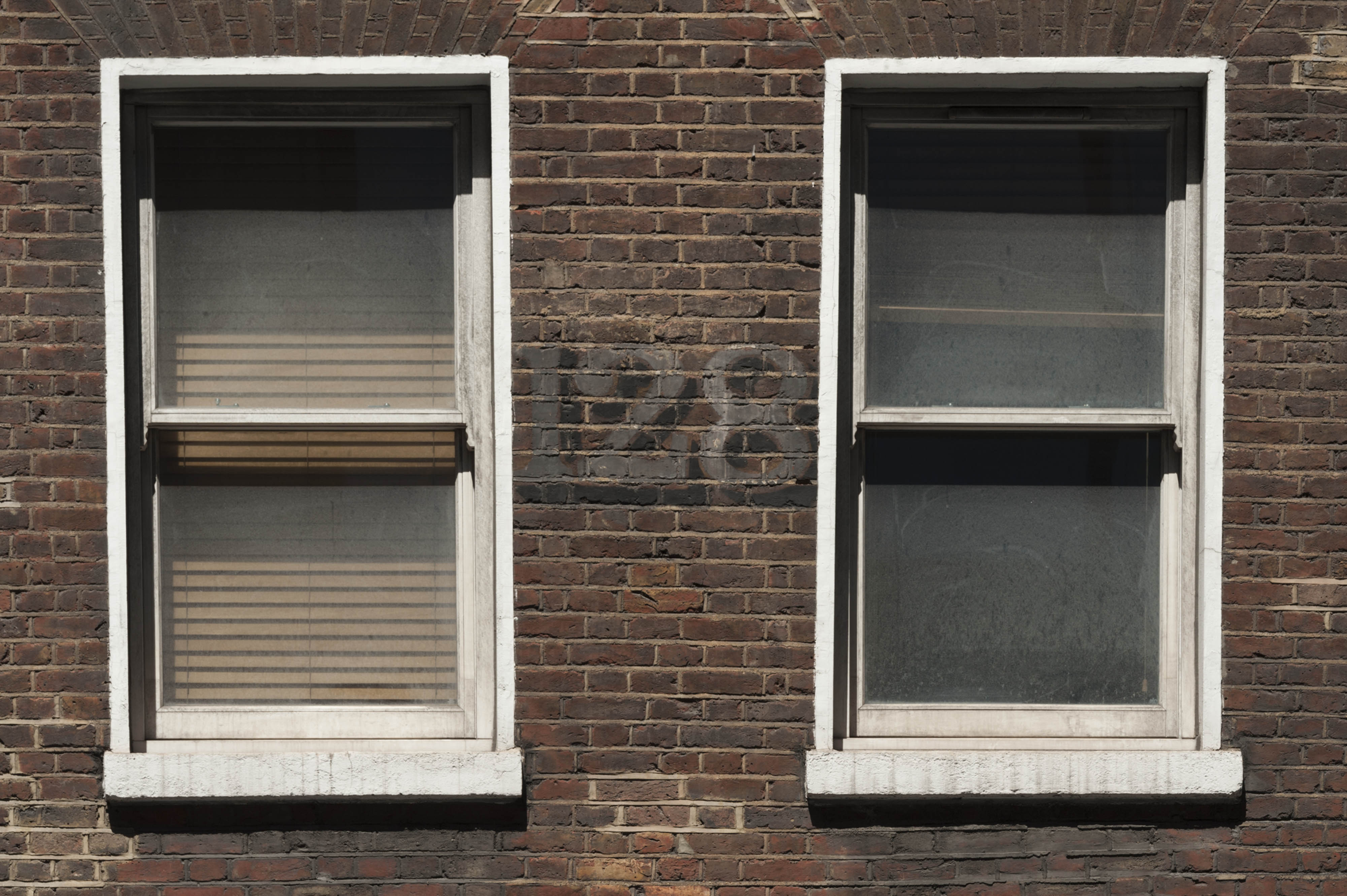
{
"id": 1227,
"title": "Painted number on frontage of 128 High Street, June 2017",
"author": {
"id": 27,
"username": "DerekKendall"
},
"feature": {
"id": 407,
"type": "Feature",
"geometry": {
"type": "MultiPolygon",
"coordinates": [
[
[
[
-0.072950273191856,
51.51493052559777
],
[
-0.073018678415549,
51.51490651384565
],
[
-0.073178701087915,
51.515075886403494
],
[
-0.073123499137516,
51.51509849896724
],
[
-0.072950273191856,
51.51493052559777
]
]
]
]
},
"properties": {
"b_number": "128",
"b_name": "",
"street": "Whitechapel High Street",
"address": "128 Whitechapel High Street, London E1 7PT",
"feature_type": "WHITECHAPEL_BUILDING",
"count": 5,
"search_str": "128 Whitechapel High Street, London E1 7PT"
},
"tags": []
},
"file": "https://surveyoflondon.org/media/uploads/features/407/SoL%20Whitechapel%20100969.jpg",
"description": "",
"copyright": true,
"created": "2018-03-22"
},
{
"id": 1329,
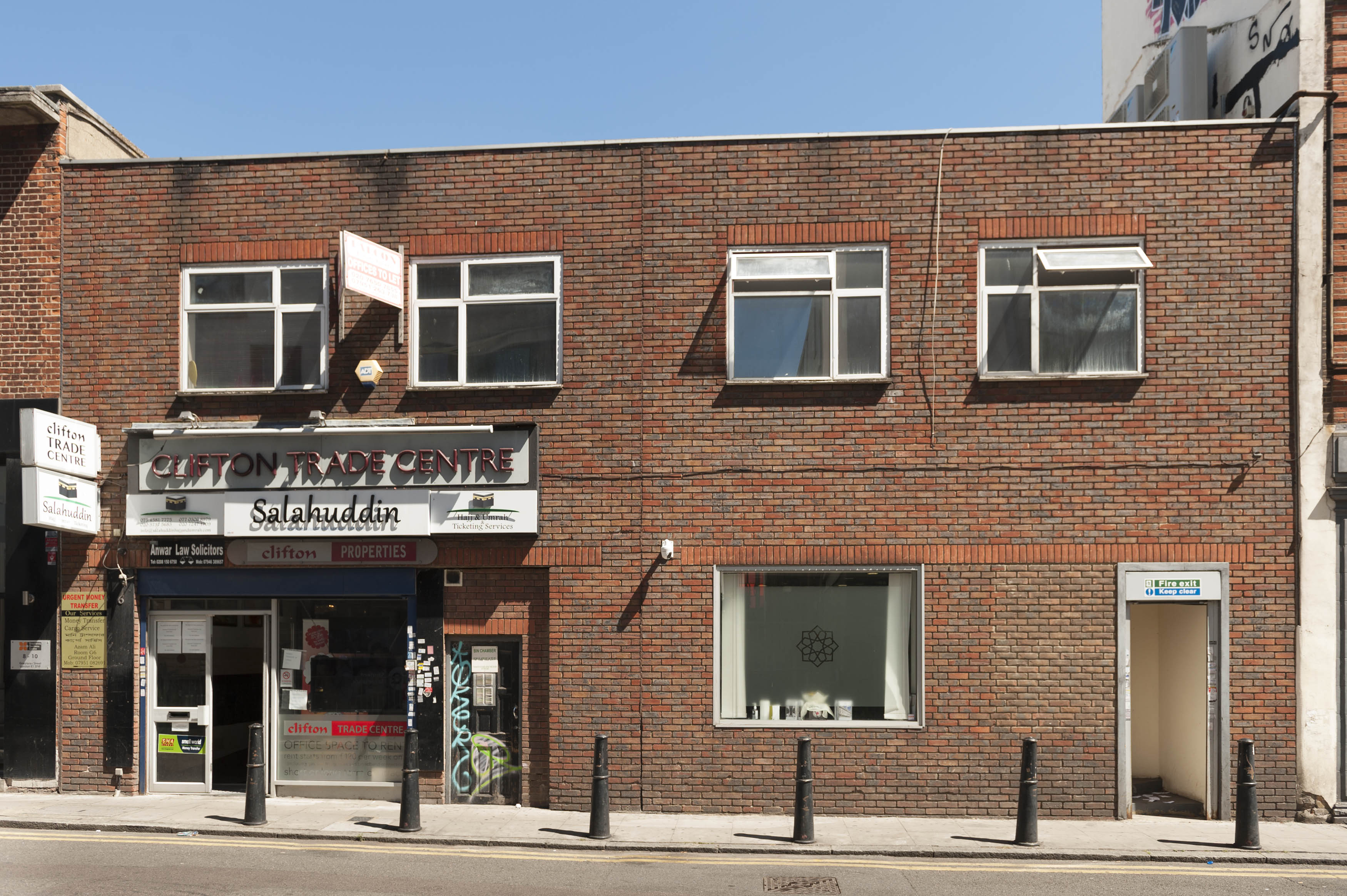
"title": "Clifton Trade Centre, 4–6 Greatorex Street, summer 2018",
"author": {
"id": 27,
"username": "DerekKendall"
},
"feature": {
"id": 439,
"type": "Feature",
"geometry": {
"type": "MultiPolygon",
"coordinates": [
[
[
[
-0.06684799078322,
51.517527096013765
],
[
-0.066946429867166,
51.51763461863947
],
[
-0.066710856901399,
51.517718568312894
],
[
-0.066679968423576,
51.517684829447404
],
[
-0.066786247615364,
51.51764653601739
],
[
-0.06674465726629,
51.517601727600564
],
[
-0.066717668316935,
51.51761164147543
],
[
-0.06669548543324,
51.517586587280874
],
[
-0.066718401729507,
51.51757828462916
],
[
-0.06668953207873,
51.51754963320261
],
[
-0.066755434193492,
51.51752603374355
],
[
-0.066789648805275,
51.517554444685416
],
[
-0.06684799078322,
51.517527096013765
]
]
]
]
},
"properties": {
"b_number": "4-6",
"b_name": "",
"street": "Greatorex Street",
"address": "Clifton Trade Centre, 4-6 Greatorex Street",
"feature_type": "WHITECHAPEL_BUILDING",
"count": 2,
"search_str": "Clifton Trade Centre, 4-6 Greatorex Street"
},
"tags": []
},
"file": "https://surveyoflondon.org/media/uploads/features/439/SoL%20Whitechapel%20102099.jpg",
"description": "",
"copyright": true,
"created": "2018-08-13"
},
{
"id": 1218,
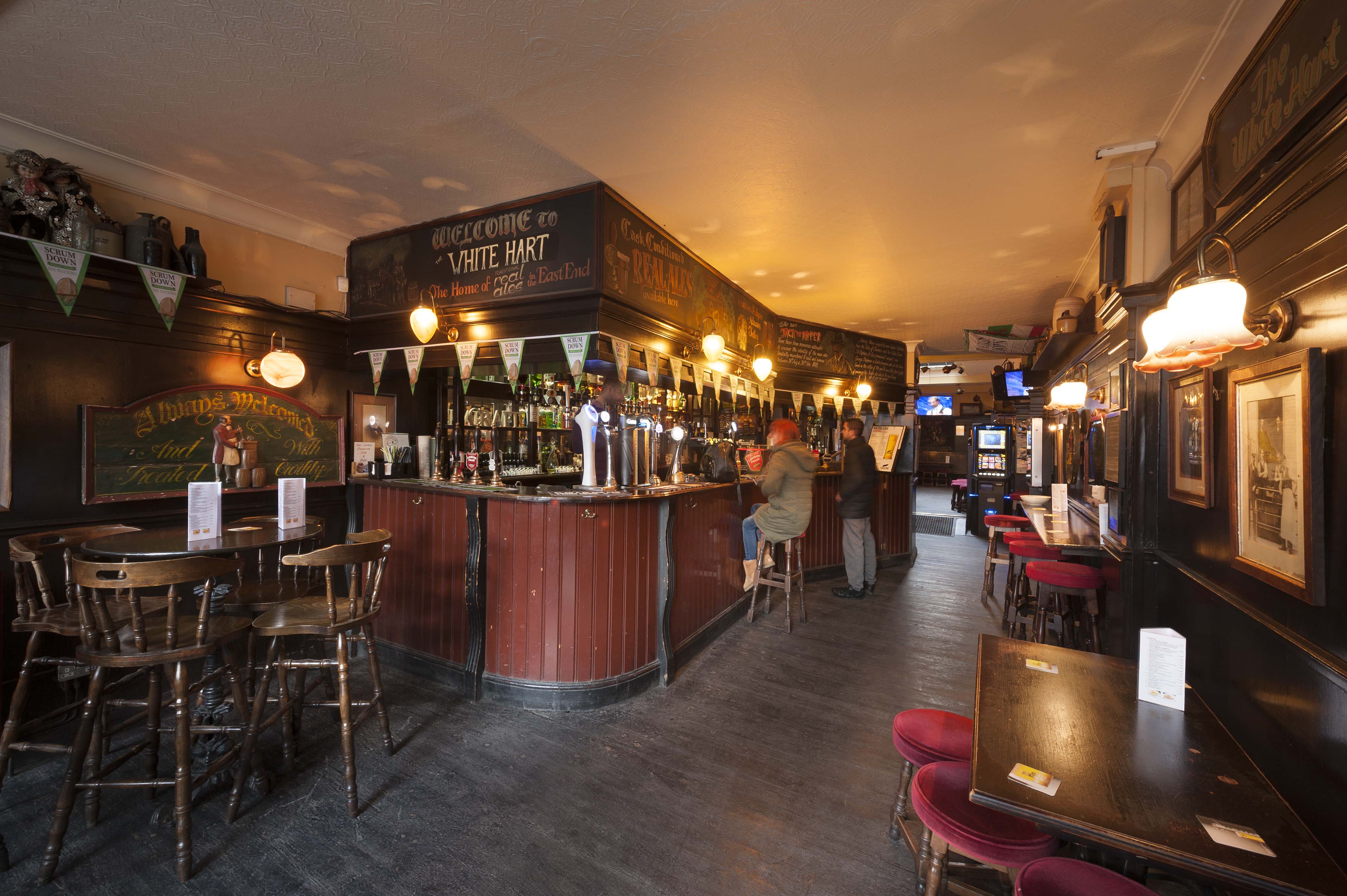
"title": "Front bar at the White Hart, February 2018",
"author": {
"id": 27,
"username": "DerekKendall"
},
"feature": {
"id": 321,
"type": "Feature",
"geometry": {
"type": "MultiPolygon",
"coordinates": [
[
[
[
-0.070851482033923,
51.51583890438921
],
[
-0.070769983901351,
51.515756150681995
],
[
-0.070826096590134,
51.51573168194945
],
[
-0.070910018893456,
51.51581372858656
],
[
-0.070987330377172,
51.51589641332654
],
[
-0.071038807895081,
51.515953523899796
],
[
-0.070962773338145,
51.515980152176006
],
[
-0.070839633171055,
51.51584349573393
],
[
-0.070851482033923,
51.51583890438921
]
]
]
]
},
"properties": {
"b_number": "89",
"b_name": "White Hart, 89 Whitechapel High Street",
"street": "Whitechapel High Street",
"address": "White Hart, 89 Whitechapel High Street, London E1",
"feature_type": "WHITECHAPEL_BUILDING",
"count": 9,
"search_str": "White Hart, 89 Whitechapel High Street"
},
"tags": []
},
"file": "https://surveyoflondon.org/media/uploads/features/321/SoL%20Whitechapel%20101863.jpg",
"description": "",
"copyright": true,
"created": "2018-03-22"
},
{
"id": 1240,
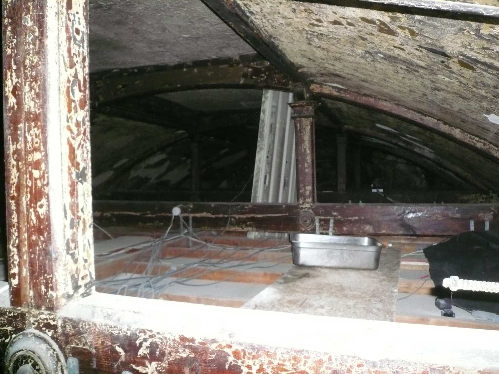
"title": "Former New Road Synagogue, roofspace, April 2018",
"author": {
"id": 10,
"username": "PGuillery"
},
"feature": {
"id": 1463,
"type": "Feature",
"geometry": {
"type": "MultiPolygon",
"coordinates": [
[
[
[
-0.063134492360364,
51.51782738505861
],
[
-0.063025709537606,
51.51764418006528
],
[
-0.062931156135412,
51.51766686232899
],
[
-0.062954889604093,
51.51770900962472
],
[
-0.062726482458675,
51.517765079903484
],
[
-0.062748999276863,
51.51780173726752
],
[
-0.062973174374441,
51.51774578529897
],
[
-0.063032903202825,
51.51784972503275
],
[
-0.063134492360364,
51.51782738505861
]
]
]
]
},
"properties": {
"b_number": "115",
"b_name": "",
"street": "New Road",
"address": "115 New Road and the former New Road Synagogue",
"feature_type": "WHITECHAPEL_BUILDING",
"count": 9,
"search_str": "115 New Road and the former New Road Synagogue"
},
"tags": [
"Lewis Solomon",
"Samuel Montagu"
]
},
"file": "https://surveyoflondon.org/media/uploads/features/1463/P1200311.JPG",
"description": "",
"copyright": true,
"created": "2018-04-17"
},
{
"id": 1452,
"title": "Abid Karim (proprietor) and Shahed Saleem (Survey of London), 79 Commercial Road, November 2018",
"author": {
"id": 27,
"username": "DerekKendall"
},
"feature": {
"id": 766,
"type": "Feature",
"geometry": {
"type": "MultiPolygon",
"coordinates": [
[
[
[
-0.06479636918847,
51.514849127060785
],
[
-0.064796380423472,
51.51484913029562
],
[
-0.064801696545098,
51.51501893523036
],
[
-0.064802160253748,
51.515044626500355
],
[
-0.064750929669421,
51.515043969450474
],
[
-0.064737668986278,
51.51485040214179
],
[
-0.06479636918847,
51.514849127060785
]
]
]
]
},
"properties": {
"b_number": "79",
"b_name": "",
"street": "Commercial Road",
"address": "79 Commercial Road",
"feature_type": "WHITECHAPEL_BUILDING",
"count": 11,
"search_str": "79 Commercial Road"
},
"tags": []
},
"file": "https://surveyoflondon.org/media/uploads/features/766/SoL%20Whitechapel%20102351.jpg",
"description": "",
"copyright": true,
"created": "2018-11-28"
},
{
"id": 1171,
"title": "The Blizard Building in early 2018, detail of east range",
"author": {
"id": 27,
"username": "DerekKendall"
},
"feature": {
"id": 1163,
"type": "Feature",
"geometry": {
"type": "MultiPolygon",
"coordinates": [
[
[
[
-0.060979423312093,
51.51687996411422
],
[
-0.060821480072965,
51.516165829174554
],
[
-0.061150394642652,
51.5161342922288
],
[
-0.061250705098503,
51.51659420015728
],
[
-0.061483939056146,
51.516571247564805
],
[
-0.061372726955292,
51.51610718653116
],
[
-0.061473753012294,
51.516097396643715
],
[
-0.061545939688273,
51.51637602454029
],
[
-0.061578400286946,
51.51650000649485
],
[
-0.061813068160685,
51.5164781671439
],
[
-0.061841033599566,
51.51659920223576
],
[
-0.061917577172769,
51.51659314478618
],
[
-0.061935232261836,
51.516679987561794
],
[
-0.061860089281967,
51.51668593416029
],
[
-0.06188078856813,
51.51678775130236
],
[
-0.061650778364593,
51.51680797914597
],
[
-0.061652482216837,
51.51681638161555
],
[
-0.06154746554607,
51.51682671647673
],
[
-0.061489614276897,
51.51659788651982
],
[
-0.061258068758741,
51.516620672951085
],
[
-0.061315264564342,
51.51684691479345
],
[
-0.060979423312093,
51.51687996411422
]
]
]
]
},
"properties": {
"b_number": "",
"b_name": "",
"street": "Walden Street",
"address": "Blizard Building",
"feature_type": "WHITECHAPEL_BUILDING",
"count": 14,
"search_str": "Blizard Building"
},
"tags": []
},
"file": "https://surveyoflondon.org/media/uploads/features/1163/SoL%20Whitechapel%20101769.jpg",
"description": "",
"copyright": true,
"created": "2018-03-05"
},
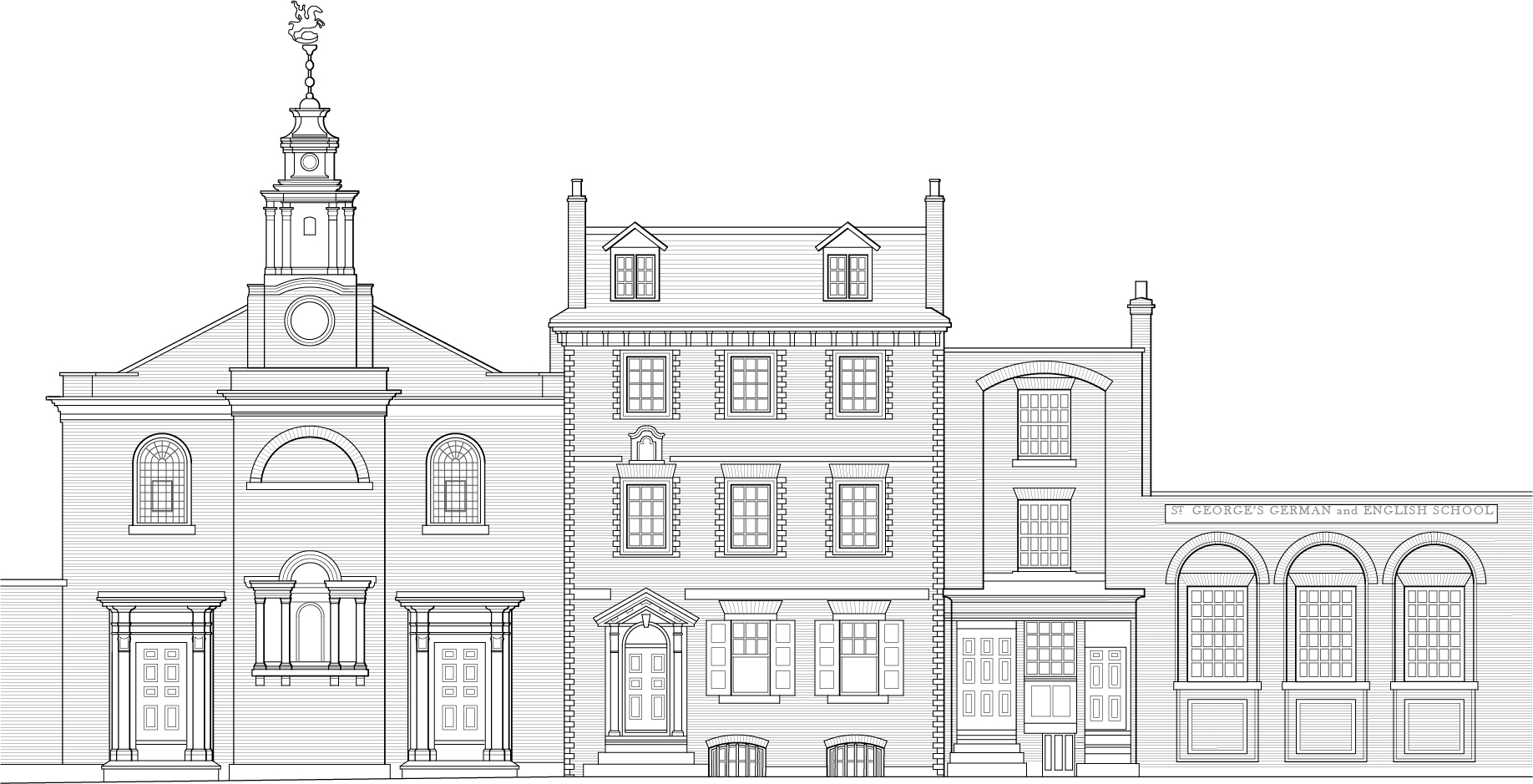
{
"id": 1642,
"title": "St George's German Church, Minister's House and School, Alie Street, in 1821 (based on a painting by Dolfer)",
"author": {
"id": 82,
"username": "HelenJones"
},
"feature": {
"id": 17,
"type": "Feature",
"geometry": {
"type": "MultiPolygon",
"coordinates": [
[
[
[
-0.07063554499044,
51.514165253062664
],
[
-0.070405394989044,
51.5142577505096
],
[
-0.070368459316428,
51.51421883204737
],
[
-0.070427800505043,
51.51419483274977
],
[
-0.070359330002431,
51.51412101663757
],
[
-0.070376872840001,
51.514112887757804
],
[
-0.070313812852201,
51.514054169773665
],
[
-0.070469168765051,
51.51398880154131
],
[
-0.07063554499044,
51.514165253062664
]
]
]
]
},
"properties": {
"b_number": "55",
"b_name": "St George’s German Lutheran Church",
"street": "Alie Street",
"address": "St George’s German Lutheran Church, 55 Alie Street",
"feature_type": "WHITECHAPEL_BUILDING",
"count": 8,
"search_str": "St George’s German Lutheran Church"
},
"tags": [
"church",
"lutheran"
]
},
"file": "https://surveyoflondon.org/media/uploads/features/17/St%20George%20and%20school%20for%20the%20volume.jpg",
"description": "",
"copyright": true,
"created": "2019-08-07"
},
{
"id": 1242,
"title": "Cromlech House from the northwest in 2016",
"author": {
"id": 27,
"username": "DerekKendall"
},
"feature": {
"id": 1750,
"type": "Feature",
"geometry": {
"type": "MultiPolygon",
"coordinates": [
[
[
[
-0.074357471765638,
51.515414167283886
],
[
-0.074647451142337,
51.51530527967592
],
[
-0.074825683688237,
51.515219417372194
],
[
-0.075154885703515,
51.51546759153406
],
[
-0.074908107257318,
51.51561366922175
],
[
-0.074632742143565,
51.51569952442644
],
[
-0.074357471765638,
51.515414167283886
]
]
]
]
},
"properties": {
"b_number": "2-14",
"b_name": "Travelodge London City",
"street": "Middlesex Street",
"address": "20 Middlesex Street",
"feature_type": "WHITECHAPEL_BUILDING",
"count": 5,
"search_str": "Travelodge London City"
},
"tags": []
},
"file": "https://surveyoflondon.org/media/uploads/features/1750/SoL%20Whitechapel100276.jpg",
"description": "",
"copyright": true,
"created": "2018-04-17"
},
{
"id": 1243,
"title": "Inside the parking and market-stall storage area of Cromlech House, 2016",
"author": {
"id": 27,
"username": "DerekKendall"
},
"feature": {
"id": 1750,
"type": "Feature",
"geometry": {
"type": "MultiPolygon",
"coordinates": [
[
[
[
-0.074357471765638,
51.515414167283886
],
[
-0.074647451142337,
51.51530527967592
],
[
-0.074825683688237,
51.515219417372194
],
[
-0.075154885703515,
51.51546759153406
],
[
-0.074908107257318,
51.51561366922175
],
[
-0.074632742143565,
51.51569952442644
],
[
-0.074357471765638,
51.515414167283886
]
]
]
]
},
"properties": {
"b_number": "2-14",
"b_name": "Travelodge London City",
"street": "Middlesex Street",
"address": "20 Middlesex Street",
"feature_type": "WHITECHAPEL_BUILDING",
"count": 5,
"search_str": "Travelodge London City"
},
"tags": []
},
"file": "https://surveyoflondon.org/media/uploads/features/1750/SoL%20Whitechapel100278.jpg",
"description": "",
"copyright": true,
"created": "2018-04-17"
},
{
"id": 1284,
"title": "Elevation, March 2018",
"author": {
"id": 27,
"username": "DerekKendall"
},
"feature": {
"id": 92,
"type": "Feature",
"geometry": {
"type": "MultiPolygon",
"coordinates": [
[
[
[
-0.070236734466932,
51.51309567357582
],
[
-0.070392617547194,
51.513051214743115
],
[
-0.070416186700039,
51.513084512241
],
[
-0.070391089194003,
51.51309189976837
],
[
-0.070261188208979,
51.51312785594812
],
[
-0.070236734466932,
51.51309567357582
]
]
]
]
},
"properties": {
"b_number": "66",
"b_name": "",
"street": "Leman Street",
"address": "66 Leman Street",
"feature_type": "WHITECHAPEL_BUILDING",
"count": 5,
"search_str": "66 Leman Street"
},
"tags": []
},
"file": "https://surveyoflondon.org/media/uploads/features/92/SoL%20Whitechapel%20101968.jpg",
"description": "",
"copyright": true,
"created": "2018-08-07"
},
{
"id": 1285,
"title": "Leman Street elevation looking north west, March 2018",
"author": {
"id": 27,
"username": "DerekKendall"
},
"feature": {
"id": 92,
"type": "Feature",
"geometry": {
"type": "MultiPolygon",
"coordinates": [
[
[
[
-0.070236734466932,
51.51309567357582
],
[
-0.070392617547194,
51.513051214743115
],
[
-0.070416186700039,
51.513084512241
],
[
-0.070391089194003,
51.51309189976837
],
[
-0.070261188208979,
51.51312785594812
],
[
-0.070236734466932,
51.51309567357582
]
]
]
]
},
"properties": {
"b_number": "66",
"b_name": "",
"street": "Leman Street",
"address": "66 Leman Street",
"feature_type": "WHITECHAPEL_BUILDING",
"count": 5,
"search_str": "66 Leman Street"
},
"tags": []
},
"file": "https://surveyoflondon.org/media/uploads/features/92/SoL%20Whitechapel%20101974.jpg",
"description": "",
"copyright": true,
"created": "2018-08-07"
},
{
"id": 1286,
"title": "Elevation with No. 68",
"author": {
"id": 27,
"username": "DerekKendall"
},
"feature": {
"id": 92,
"type": "Feature",
"geometry": {
"type": "MultiPolygon",
"coordinates": [
[
[
[
-0.070236734466932,
51.51309567357582
],
[
-0.070392617547194,
51.513051214743115
],
[
-0.070416186700039,
51.513084512241
],
[
-0.070391089194003,
51.51309189976837
],
[
-0.070261188208979,
51.51312785594812
],
[
-0.070236734466932,
51.51309567357582
]
]
]
]
},
"properties": {
"b_number": "66",
"b_name": "",
"street": "Leman Street",
"address": "66 Leman Street",
"feature_type": "WHITECHAPEL_BUILDING",
"count": 5,
"search_str": "66 Leman Street"
},
"tags": []
},
"file": "https://surveyoflondon.org/media/uploads/features/92/SoL%20Whitechapel%20101972.jpg",
"description": "",
"copyright": true,
"created": "2018-08-07"
},
{
"id": 1237,
"title": "8 St Mark Street in February 2018",
"author": {
"id": 27,
"username": "DerekKendall"
},
"feature": {
"id": 41,
"type": "Feature",
"geometry": {
"type": "MultiPolygon",
"coordinates": [
[
[
[
-0.071533549501504,
51.5132583622351
],
[
-0.071463624323068,
51.51328261614345
],
[
-0.071388847057103,
51.51319931242174
],
[
-0.071452512808187,
51.513174955618396
],
[
-0.071533549501504,
51.5132583622351
]
]
]
]
},
"properties": {
"b_number": "8",
"b_name": "",
"street": "St Mark Street",
"address": "8 St Mark Street",
"feature_type": "WHITECHAPEL_BUILDING",
"count": 3,
"search_str": "8 St Mark Street"
},
"tags": []
},
"file": "https://surveyoflondon.org/media/uploads/features/41/SoL%20Whitechapel%20101819_f0g9OuB.jpg",
"description": "",
"copyright": true,
"created": "2018-04-13"
},
{
"id": 926,
"title": "Former Jagonari Women's Centre",
"author": {
"id": 18,
"username": "shahedsaleem"
},
"feature": {
"id": 453,
"type": "Feature",
"geometry": {
"type": "MultiPolygon",
"coordinates": [
[
[
[
-0.06387175509906,
51.51844488660313
],
[
-0.063674757657848,
51.51849920648765
],
[
-0.063594819394982,
51.5183863647881
],
[
-0.063789009522268,
51.51833442643744
],
[
-0.06387175509906,
51.51844488660313
]
]
]
]
},
"properties": {
"b_number": "183-185",
"b_name": "Former Jagonari Women's Centre, 183-185 Whitechapel Road",
"street": "Whitechapel Road",
"address": "183-185 Whitechapel Road",
"feature_type": "WHITECHAPEL_BUILDING",
"count": 15,
"search_str": "Former Jagonari Women's Centre, 183-185 Whitechapel Road"
},
"tags": [
"GLC",
"Jagonari",
"Matrix",
"nursery"
]
},
"file": "https://surveyoflondon.org/media/uploads/features/453/IMG_4816-jagonari%20resized.jpg",
"description": "Detail of the decorative screens over the windows on the former Jagonari Women's Centre fronting Whitechapel Road. Photographed in October 2017",
"copyright": false,
"created": "2017-10-06"
},
{
"id": 1357,
"title": "91–93 Whitechapel High Street in 2018",
"author": {
"id": 27,
"username": "DerekKendall"
},
"feature": {
"id": 385,
"type": "Feature",
"geometry": {
"type": "MultiPolygon",
"coordinates": [
[
[
[
-0.071045385181981,
51.51564522716393
],
[
-0.071127164071961,
51.51572549942702
],
[
-0.071127166728351,
51.515725506171414
],
[
-0.071151330117558,
51.51574847699307
],
[
-0.071202630199858,
51.515795266773814
],
[
-0.071227924353453,
51.5157869169068
],
[
-0.071296116750057,
51.51586388359572
],
[
-0.071227748506919,
51.51589203271495
],
[
-0.071118645083377,
51.51579633429836
],
[
-0.071097964586279,
51.51580546759357
],
[
-0.070964349557785,
51.51567839373789
],
[
-0.071045385181981,
51.51564522716393
]
]
]
]
},
"properties": {
"b_number": "92-3",
"b_name": "92-3 Whitechapel High Street",
"street": "Whitechapel High Street",
"address": "92-3 Whitechapel High Street",
"feature_type": "WHITECHAPEL_BUILDING",
"count": 6,
"search_str": "92-3 Whitechapel High Street"
},
"tags": []
},
"file": "https://surveyoflondon.org/media/uploads/features/385/SoL%20Whitechapel%20102213.jpg",
"description": "",
"copyright": true,
"created": "2018-10-10"
},
{
"id": 1252,
"title": "Taja restaurant",
"author": {
"id": 18,
"username": "shahedsaleem"
},
"feature": {
"id": 1698,
"type": "Feature",
"geometry": {
"type": "MultiPolygon",
"coordinates": [
[
[
[
-0.062755898137067,
51.51857235799611
],
[
-0.058216859270041,
51.51960039921044
],
[
-0.058148482851386,
51.51948612756745
],
[
-0.061091729886378,
51.51883423152082
],
[
-0.061616259170046,
51.51871888429734
],
[
-0.06270768344222,
51.51847582817058
],
[
-0.062755898137067,
51.51857235799611
]
]
]
]
},
"properties": {
"b_number": "",
"b_name": "",
"street": "Whitechapel Road",
"address": "Whitechapel Market, Whitechapel Road",
"feature_type": "PLACE",
"count": 48,
"search_str": "Whitechapel Market, Whitechapel Road"
},
"tags": []
},
"file": "https://surveyoflondon.org/media/uploads/features/1698/20180513_123458-ed.jpg",
"description": "Tanha Quadi's photos of the Taja restaurant, a conversion of and building over the former public lavatories from the early 2000s",
"copyright": false,
"created": "2018-05-15"
}
]
}