HTTP 200 OK
Allow: GET, HEAD, OPTIONS
Content-Type: application/json
Vary: Accept
{
"count": 1747,
"next": "https://surveyoflondon.org/api/v1/images/?format=api&page=55",
"previous": "https://surveyoflondon.org/api/v1/images/?format=api&page=53",
"results": [
{
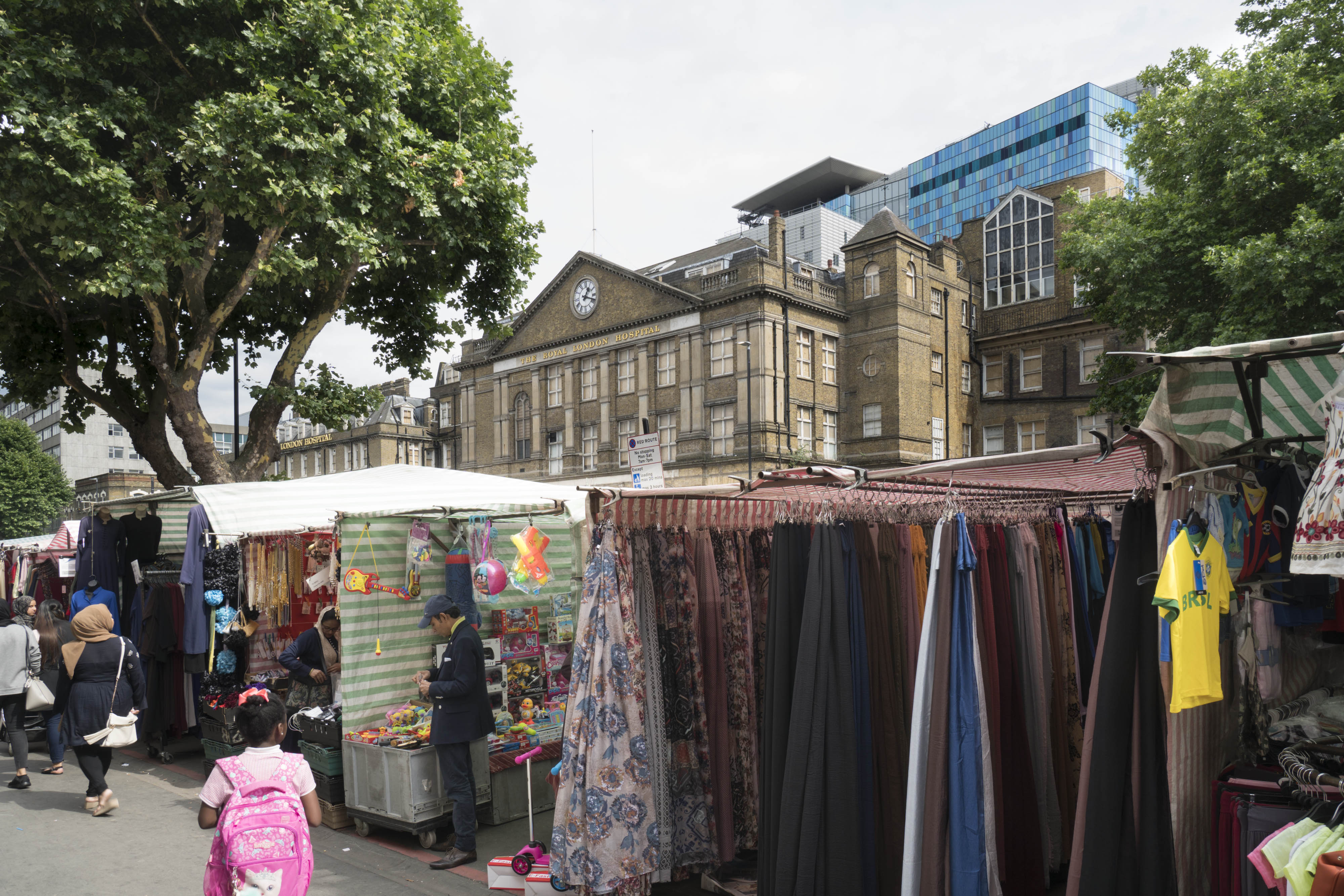
"id": 698,
"title": "Whitechapel Market in 2017",
"author": {
"id": 27,
"username": "DerekKendall"
},
"feature": {
"id": 1698,
"type": "Feature",
"geometry": {
"type": "MultiPolygon",
"coordinates": [
[
[
[
-0.062755898137067,
51.51857235799611
],
[
-0.058216859270041,
51.51960039921044
],
[
-0.058148482851386,
51.51948612756745
],
[
-0.061091729886378,
51.51883423152082
],
[
-0.061616259170046,
51.51871888429734
],
[
-0.06270768344222,
51.51847582817058
],
[
-0.062755898137067,
51.51857235799611
]
]
]
]
},
"properties": {
"b_number": "",
"b_name": "",
"street": "Whitechapel Road",
"address": "Whitechapel Market, Whitechapel Road",
"feature_type": "PLACE",
"count": 48,
"search_str": "Whitechapel Market, Whitechapel Road"
},
"tags": []
},
"file": "https://surveyoflondon.org/media/uploads/features/1698/SoL%20Whitechapel%20101203.jpg",
"description": "",
"copyright": true,
"created": "2017-07-28"
},
{
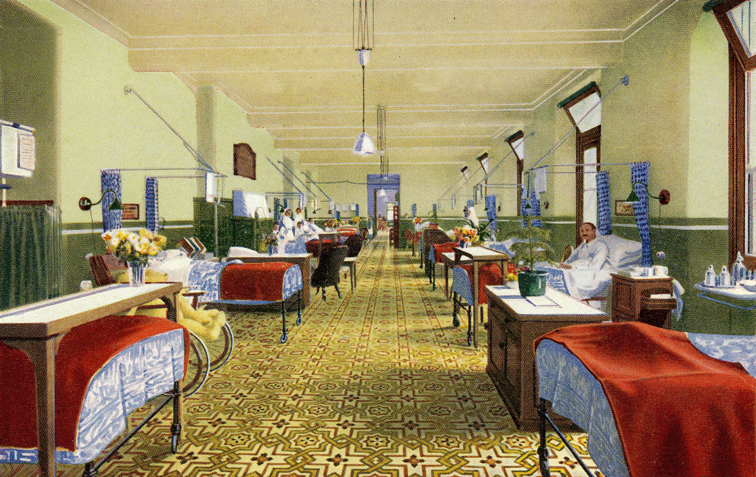
"id": 1133,
"title": "Ward at the London Hospital, from a twentieth-century postcard",
"author": {
"id": 2,
"username": "surveyoflondon"
},
"feature": {
"id": 1230,
"type": "Feature",
"geometry": {
"type": "MultiPolygon",
"coordinates": [
[
[
[
-0.06071898744648,
51.51847914149303
],
[
-0.060743358937849,
51.518529899918775
],
[
-0.060362148562617,
51.518618013153
],
[
-0.060404024127419,
51.51868851949335
],
[
-0.060356952993906,
51.51869974522794
],
[
-0.060399234817198,
51.51877056309998
],
[
-0.060042469531136,
51.5188530372297
],
[
-0.060006551123239,
51.51879256032364
],
[
-0.05997171006068,
51.51880061452483
],
[
-0.059923949522789,
51.51872019830377
],
[
-0.059602716389847,
51.51879445706454
],
[
-0.059631951693606,
51.51884368227145
],
[
-0.059135089420495,
51.51895853862307
],
[
-0.059031394281591,
51.51878393727422
],
[
-0.059075483581288,
51.51877374555587
],
[
-0.05923306113512,
51.518737319626666
],
[
-0.059261815633844,
51.518785736083466
],
[
-0.059453095208379,
51.51874286661955
],
[
-0.059437777096903,
51.51871791341666
],
[
-0.059509844762857,
51.518701022201654
],
[
-0.059472510825189,
51.51863713193043
],
[
-0.059893693119402,
51.51853565124978
],
[
-0.059897251108141,
51.51854177905041
],
[
-0.060406197614306,
51.5184267554985
],
[
-0.060388475186227,
51.51839623334771
],
[
-0.060226549751936,
51.51811735804654
],
[
-0.060490662909997,
51.51805857683586
],
[
-0.060500593175314,
51.518078725457706
],
[
-0.06071898744648,
51.51847914149303
]
]
]
]
},
"properties": {
"b_number": "",
"b_name": "Former Royal London Hospital",
"street": "",
"address": "Former Royal London Hospital ",
"feature_type": "WHITECHAPEL_BUILDING",
"count": 53,
"search_str": "Former Royal London Hospital"
},
"tags": []
},
"file": "https://surveyoflondon.org/media/uploads/features/1230/Ward004%20300dpi.jpg",
"description": "",
"copyright": false,
"created": "2018-02-14"
},
{
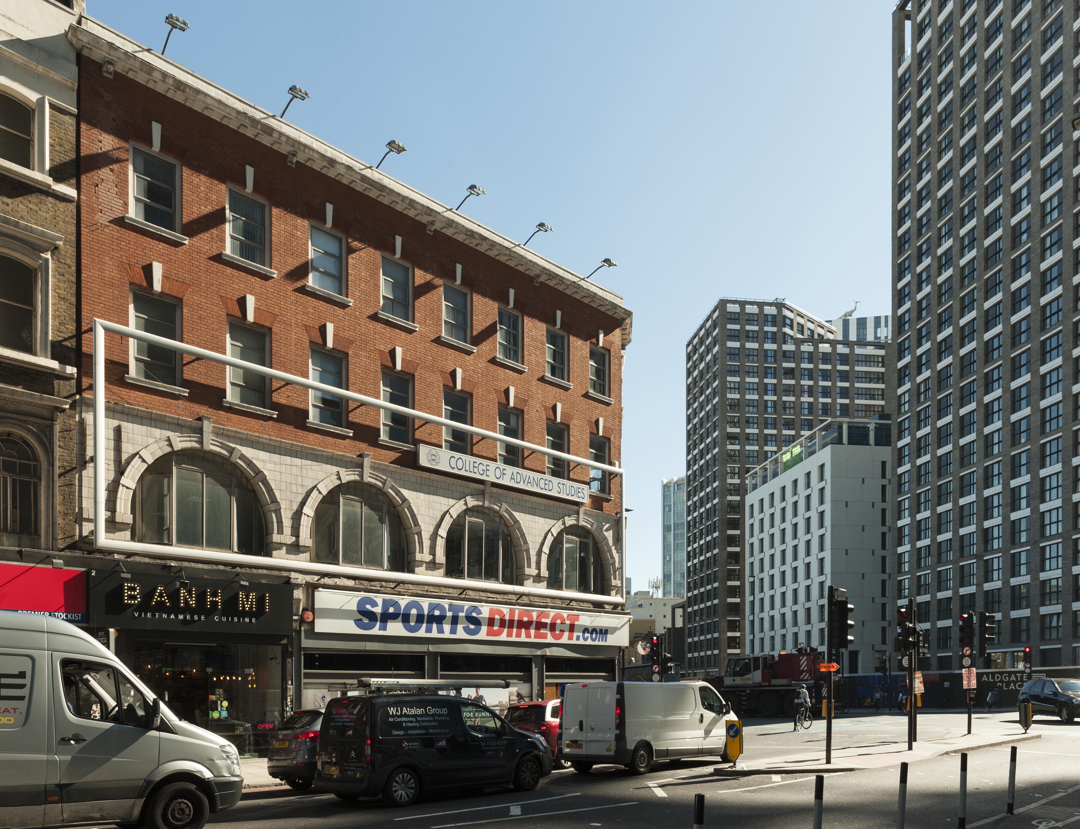
"id": 1349,
"title": "2 Commercial Street from the northwest in 2018",
"author": {
"id": 27,
"username": "DerekKendall"
},
"feature": {
"id": 373,
"type": "Feature",
"geometry": {
"type": "MultiPolygon",
"coordinates": [
[
[
[
-0.071785562876674,
51.51561898838919
],
[
-0.071609813826001,
51.515448044408686
],
[
-0.071745221521512,
51.51539771226144
],
[
-0.071809442057674,
51.51540773110793
],
[
-0.071952630416972,
51.515556297762615
],
[
-0.071785562876674,
51.51561898838919
]
]
]
]
},
"properties": {
"b_number": "102-05",
"b_name": "102 to 105 Whitechapel High Street and 2 Commercial Street",
"street": "Whitechapel High Street",
"address": "102 to 105 Whitechapel High Street and 2 Commercial Street",
"feature_type": "WHITECHAPEL_BUILDING",
"count": 8,
"search_str": "102 to 105 Whitechapel High Street and 2 Commercial Street"
},
"tags": []
},
"file": "https://surveyoflondon.org/media/uploads/features/373/SoL%20Whitechapel%20102200.jpg",
"description": "",
"copyright": true,
"created": "2018-10-10"
},
{
"id": 1350,
"title": "2 Commercial Street from the west in 2018",
"author": {
"id": 27,
"username": "DerekKendall"
},
"feature": {
"id": 373,
"type": "Feature",
"geometry": {
"type": "MultiPolygon",
"coordinates": [
[
[
[
-0.071785562876674,
51.51561898838919
],
[
-0.071609813826001,
51.515448044408686
],
[
-0.071745221521512,
51.51539771226144
],
[
-0.071809442057674,
51.51540773110793
],
[
-0.071952630416972,
51.515556297762615
],
[
-0.071785562876674,
51.51561898838919
]
]
]
]
},
"properties": {
"b_number": "102-05",
"b_name": "102 to 105 Whitechapel High Street and 2 Commercial Street",
"street": "Whitechapel High Street",
"address": "102 to 105 Whitechapel High Street and 2 Commercial Street",
"feature_type": "WHITECHAPEL_BUILDING",
"count": 8,
"search_str": "102 to 105 Whitechapel High Street and 2 Commercial Street"
},
"tags": []
},
"file": "https://surveyoflondon.org/media/uploads/features/373/SoL%20Whitechapel%20102203.jpg",
"description": "",
"copyright": true,
"created": "2018-10-10"
},
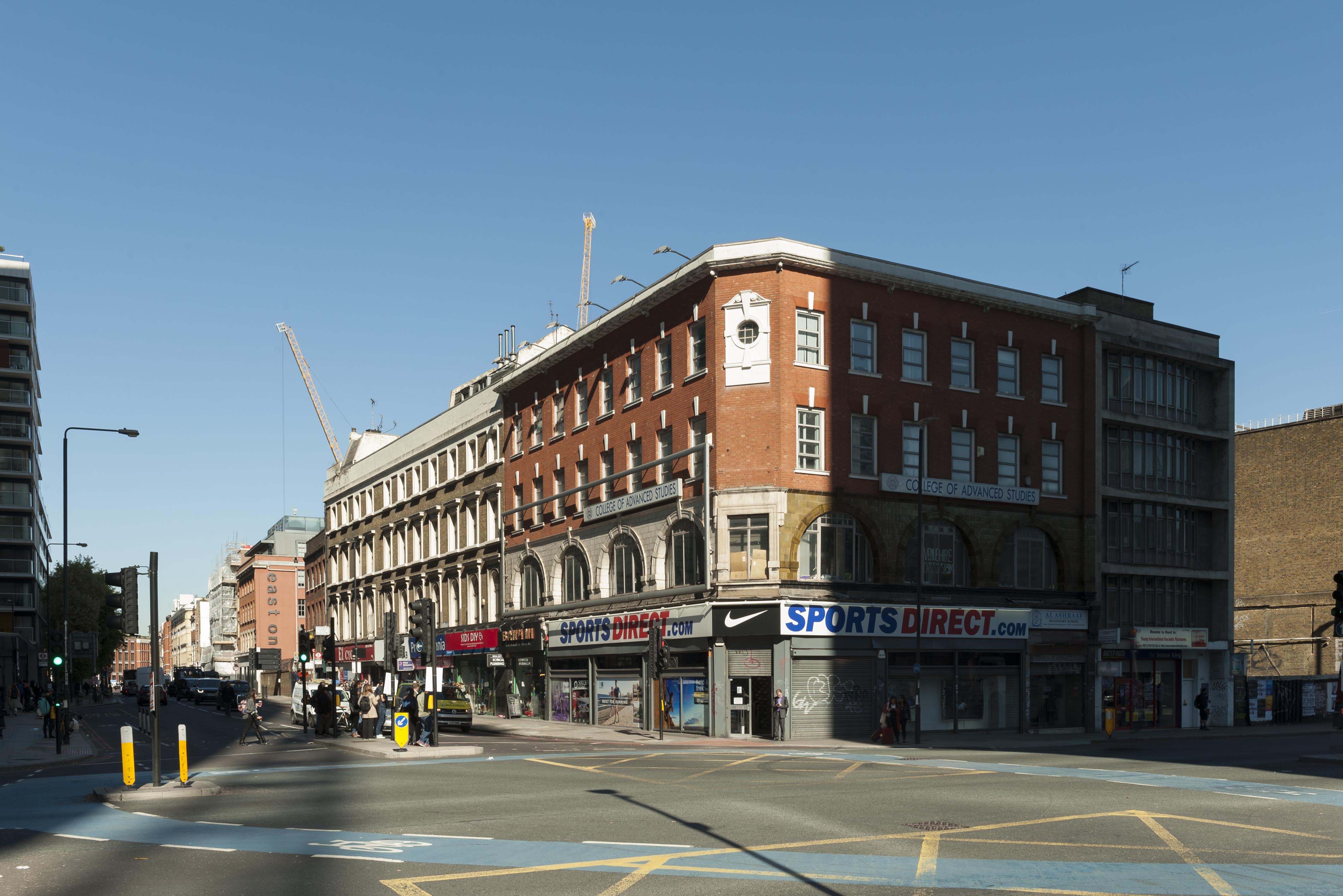
{
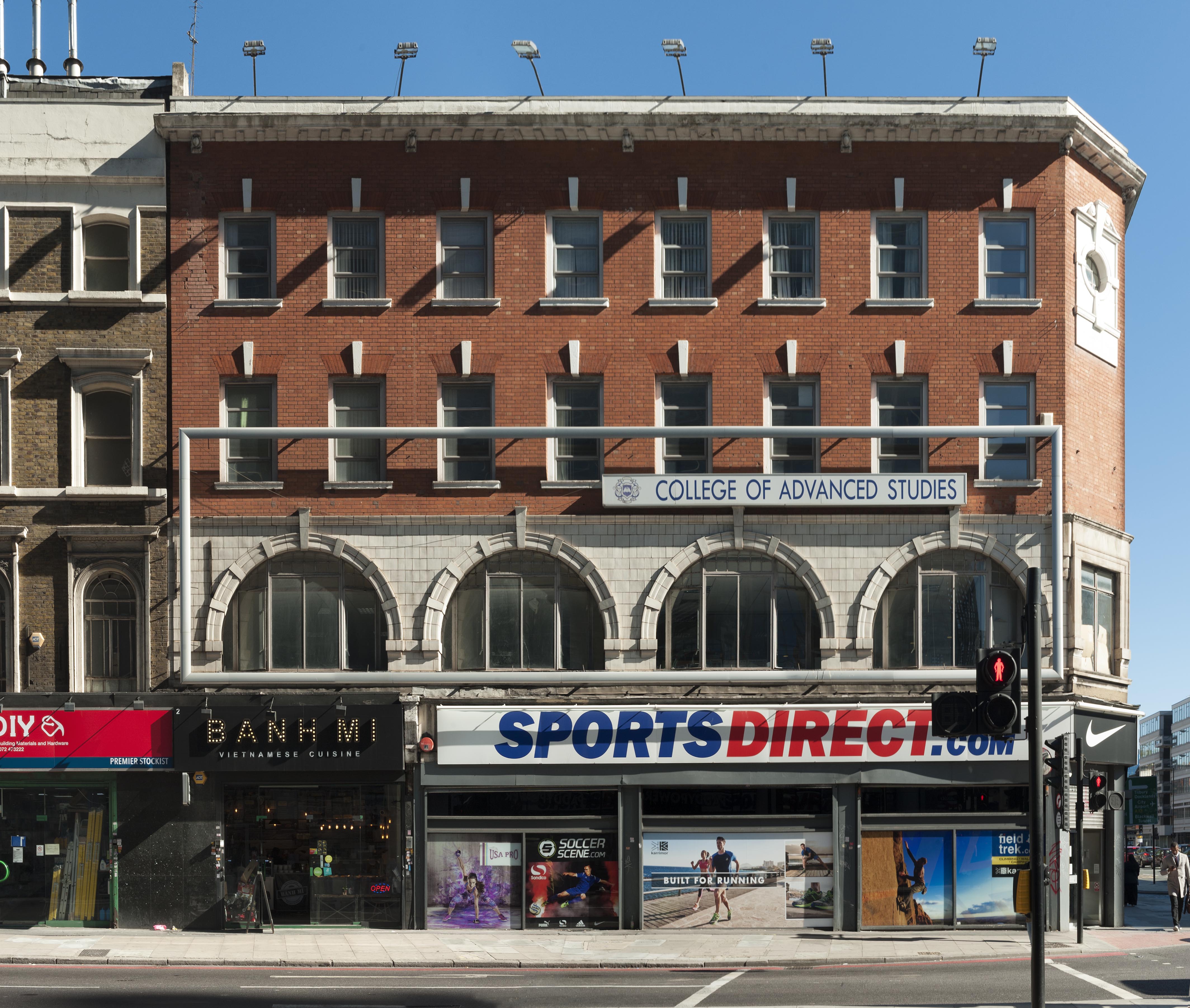
"id": 1351,
"title": "102–105 Whitechapel High Street and 2 Commercial Street in 2018",
"author": {
"id": 27,
"username": "DerekKendall"
},
"feature": {
"id": 373,
"type": "Feature",
"geometry": {
"type": "MultiPolygon",
"coordinates": [
[
[
[
-0.071785562876674,
51.51561898838919
],
[
-0.071609813826001,
51.515448044408686
],
[
-0.071745221521512,
51.51539771226144
],
[
-0.071809442057674,
51.51540773110793
],
[
-0.071952630416972,
51.515556297762615
],
[
-0.071785562876674,
51.51561898838919
]
]
]
]
},
"properties": {
"b_number": "102-05",
"b_name": "102 to 105 Whitechapel High Street and 2 Commercial Street",
"street": "Whitechapel High Street",
"address": "102 to 105 Whitechapel High Street and 2 Commercial Street",
"feature_type": "WHITECHAPEL_BUILDING",
"count": 8,
"search_str": "102 to 105 Whitechapel High Street and 2 Commercial Street"
},
"tags": []
},
"file": "https://surveyoflondon.org/media/uploads/features/373/SoL%20Whitechapel%20102204.jpg",
"description": "",
"copyright": true,
"created": "2018-10-10"
},
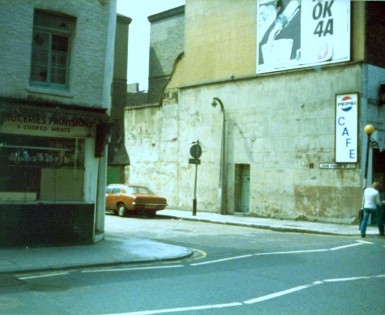
{
"id": 1156,
"title": "The Model Inn and Hart's Grocers, Royal Mint Street",
"author": {
"id": 153,
"username": "danny"
},
"feature": {
"id": 1341,
"type": "Feature",
"geometry": {
"type": "MultiPolygon",
"coordinates": [
[
[
[
-0.069674995219055,
51.510563447847346
],
[
-0.069470567670017,
51.51060542474273
],
[
-0.069427122021502,
51.51052602242747
],
[
-0.069442800926851,
51.51052243635141
],
[
-0.069431192855565,
51.51050552752134
],
[
-0.069544490086559,
51.510480187394315
],
[
-0.069622428211284,
51.5105273163852
],
[
-0.069656877702612,
51.51052349248554
],
[
-0.069674995219055,
51.510563447847346
]
]
]
]
},
"properties": {
"b_number": "55",
"b_name": "Tower Mint Apartments",
"street": "Royal Mint Street",
"address": "Tower Mint Apartments, 55 Royal Mint Street (with 84 John Fisher Street)",
"feature_type": "WHITECHAPEL_BUILDING",
"count": 6,
"search_str": "Tower Mint Apartments"
},
"tags": []
},
"file": "https://surveyoflondon.org/media/uploads/features/1341/The%20Model%20Inn.jpg",
"description": "An image looking south west from Royal Mint Street towards the junction with John Fisher Street. On the right is a café that was known as the Model Inn, on the left, a small grocery shop called Hart's run by its owner, Johnny.",
"copyright": false,
"created": "2018-03-04"
},
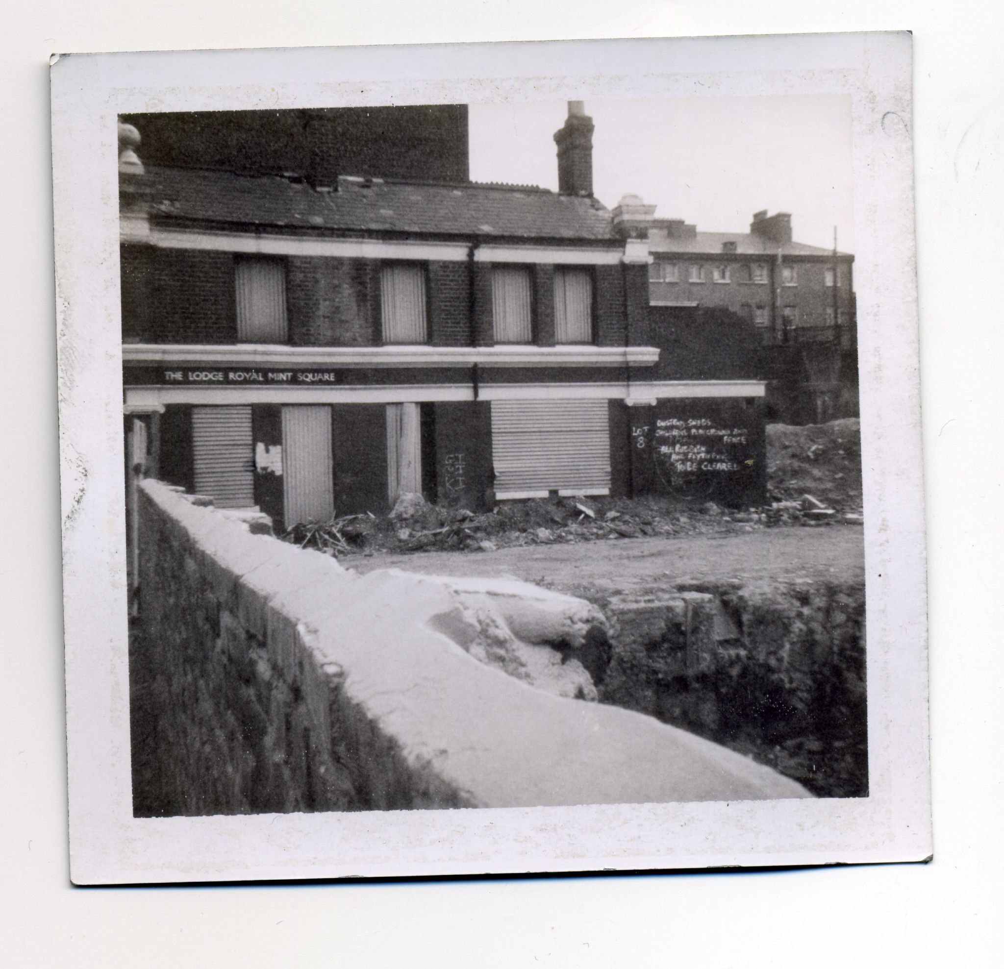
{
"id": 1149,
"title": "The Lodge, Royal Mint Square, 1975",
"author": {
"id": 153,
"username": "danny"
},
"feature": {
"id": 1337,
"type": "Feature",
"geometry": {
"type": "MultiPolygon",
"coordinates": [
[
[
[
-0.070598440536404,
51.51035797990437
],
[
-0.070472914260628,
51.51038614263684
],
[
-0.070429675353738,
51.510313060066316
],
[
-0.070475309613511,
51.510303020228825
],
[
-0.07046282372243,
51.51028071135926
],
[
-0.070544346411086,
51.51026345087342
],
[
-0.070598440536404,
51.51035797990437
]
]
]
]
},
"properties": {
"b_number": "39",
"b_name": "",
"street": "Royal Mint Street",
"address": "39 Royal Mint Street",
"feature_type": "WHITECHAPEL_BUILDING",
"count": 8,
"search_str": "39 Royal Mint Street"
},
"tags": []
},
"file": "https://surveyoflondon.org/media/uploads/features/1337/The%20Lodge%20Royal%20Mint%20Square%201975.jpg",
"description": "Polaroid picture taken by me of the soon-to-be demolished lodge building which served as the offices for the Royal Mint Square Estate that was in this site between Cartwright Street and the former Blue Anchor Yard. My uncle Dan, my mum's brother, lived in Royal Mint Square at No 178 prior to moving to the then newly constructed St George's Estate along Cable Street. He lived in the top floor (penthouse flat) of Shearsmith House after moving out of Royal Mint Square.",
"copyright": false,
"created": "2018-03-04"
},
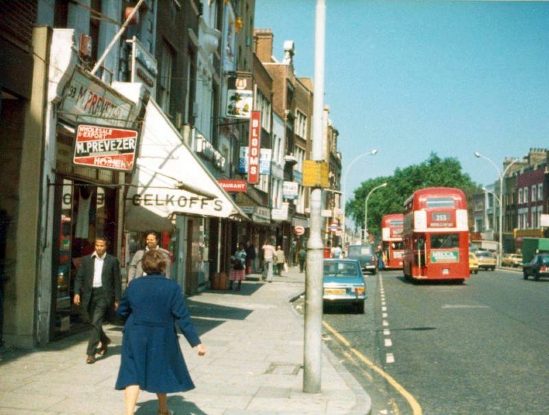
{
"id": 1148,
"title": "Whitechapel High Street near Blooms 1977",
"author": {
"id": 153,
"username": "danny"
},
"feature": {
"id": 322,
"type": "Feature",
"geometry": {
"type": "MultiPolygon",
"coordinates": [
[
[
[
-0.070826085356955,
51.515731678715305
],
[
-0.070926036876346,
51.51568963184868
],
[
-0.070975568878107,
51.51573563457872
],
[
-0.070938498759621,
51.51574884259805
],
[
-0.071053600330032,
51.515872108514294
],
[
-0.070987330377168,
51.51589641332655
],
[
-0.070910007660269,
51.515813725352466
],
[
-0.070826085356955,
51.515731678715305
]
]
]
]
},
"properties": {
"b_number": "90",
"b_name": "90 Whitechapel High Street",
"street": "Whitechapel High Street",
"address": "90 Whitechapel High Street",
"feature_type": "WHITECHAPEL_BUILDING",
"count": 5,
"search_str": "90 Whitechapel High Street"
},
"tags": []
},
"file": "https://surveyoflondon.org/media/uploads/features/322/Whitechapel%20High%20Street%201977.jpg",
"description": "Photo taken looking East towards Whitechapel Road in 1977. Bloom's sign can be seen along with shops Gelkoff's (confectioners) at No. 92 and M Prevezer (hosiers) at No. 93. A route 253 Routemaster bus can also be seen heading east.",
"copyright": false,
"created": "2018-03-04"
},
{
"id": 1428,
"title": "18-19 Wellclose Square around 1970 (photograph by Dan Cruickshank)",
"author": {
"id": 268,
"username": "DanCruickshank"
},
"feature": {
"id": 1397,
"type": "Feature",
"geometry": {
"type": "MultiPolygon",
"coordinates": [
[
[
[
-0.066901877286194,
51.51025565043992
],
[
-0.066873389847845,
51.51035634194776
],
[
-0.066823309322598,
51.510350865270944
],
[
-0.066840666059963,
51.510293012828036
],
[
-0.066738643049774,
51.51028202872731
],
[
-0.066751931250847,
51.51023224862241
],
[
-0.066901877286194,
51.51025565043992
]
]
]
]
},
"properties": {
"b_number": "",
"b_name": "Shapla Primary School",
"street": "Wellclose Square",
"address": "Shapla Primary School (outbuilding), Wellclose Square",
"feature_type": "WHITECHAPEL_BUILDING",
"count": 1,
"search_str": "Shapla Primary School"
},
"tags": []
},
"file": "https://surveyoflondon.org/media/uploads/features/1397/00220003.jpg",
"description": "",
"copyright": true,
"created": "2018-11-13"
},
{
"id": 636,
"title": "75-79 Whitechapel Road, April 2017",
"author": {
"id": 27,
"username": "DerekKendall"
},
"feature": {
"id": 766,
"type": "Feature",
"geometry": {
"type": "MultiPolygon",
"coordinates": [
[
[
[
-0.06479636918847,
51.514849127060785
],
[
-0.064796380423472,
51.51484913029562
],
[
-0.064801696545098,
51.51501893523036
],
[
-0.064802160253748,
51.515044626500355
],
[
-0.064750929669421,
51.515043969450474
],
[
-0.064737668986278,
51.51485040214179
],
[
-0.06479636918847,
51.514849127060785
]
]
]
]
},
"properties": {
"b_number": "79",
"b_name": "",
"street": "Commercial Road",
"address": "79 Commercial Road",
"feature_type": "WHITECHAPEL_BUILDING",
"count": 11,
"search_str": "79 Commercial Road"
},
"tags": []
},
"file": "https://surveyoflondon.org/media/uploads/features/766/SoL%20Whitechapel%20100645.jpg",
"description": "",
"copyright": true,
"created": "2017-05-03"
},
{
"id": 637,
"title": "79 Commercial Road, shopfront detail, April 2017",
"author": {
"id": 27,
"username": "DerekKendall"
},
"feature": {
"id": 766,
"type": "Feature",
"geometry": {
"type": "MultiPolygon",
"coordinates": [
[
[
[
-0.06479636918847,
51.514849127060785
],
[
-0.064796380423472,
51.51484913029562
],
[
-0.064801696545098,
51.51501893523036
],
[
-0.064802160253748,
51.515044626500355
],
[
-0.064750929669421,
51.515043969450474
],
[
-0.064737668986278,
51.51485040214179
],
[
-0.06479636918847,
51.514849127060785
]
]
]
]
},
"properties": {
"b_number": "79",
"b_name": "",
"street": "Commercial Road",
"address": "79 Commercial Road",
"feature_type": "WHITECHAPEL_BUILDING",
"count": 11,
"search_str": "79 Commercial Road"
},
"tags": []
},
"file": "https://surveyoflondon.org/media/uploads/features/766/SoL%20Whitechapel%20100647.jpg",
"description": "",
"copyright": true,
"created": "2017-05-03"
},
{
"id": 1450,
"title": "Shopfront, 79 Commercial Road, November 2018",
"author": {
"id": 27,
"username": "DerekKendall"
},
"feature": {
"id": 766,
"type": "Feature",
"geometry": {
"type": "MultiPolygon",
"coordinates": [
[
[
[
-0.06479636918847,
51.514849127060785
],
[
-0.064796380423472,
51.51484913029562
],
[
-0.064801696545098,
51.51501893523036
],
[
-0.064802160253748,
51.515044626500355
],
[
-0.064750929669421,
51.515043969450474
],
[
-0.064737668986278,
51.51485040214179
],
[
-0.06479636918847,
51.514849127060785
]
]
]
]
},
"properties": {
"b_number": "79",
"b_name": "",
"street": "Commercial Road",
"address": "79 Commercial Road",
"feature_type": "WHITECHAPEL_BUILDING",
"count": 11,
"search_str": "79 Commercial Road"
},
"tags": []
},
"file": "https://surveyoflondon.org/media/uploads/features/766/SoL%20Whitechapel%20102339.jpg",
"description": "",
"copyright": true,
"created": "2018-11-28"
},
{
"id": 1451,
"title": "shop interior, 79 Commercial Road, November 2018",
"author": {
"id": 27,
"username": "DerekKendall"
},
"feature": {
"id": 766,
"type": "Feature",
"geometry": {
"type": "MultiPolygon",
"coordinates": [
[
[
[
-0.06479636918847,
51.514849127060785
],
[
-0.064796380423472,
51.51484913029562
],
[
-0.064801696545098,
51.51501893523036
],
[
-0.064802160253748,
51.515044626500355
],
[
-0.064750929669421,
51.515043969450474
],
[
-0.064737668986278,
51.51485040214179
],
[
-0.06479636918847,
51.514849127060785
]
]
]
]
},
"properties": {
"b_number": "79",
"b_name": "",
"street": "Commercial Road",
"address": "79 Commercial Road",
"feature_type": "WHITECHAPEL_BUILDING",
"count": 11,
"search_str": "79 Commercial Road"
},
"tags": []
},
"file": "https://surveyoflondon.org/media/uploads/features/766/SoL%20Whitechapel%20102345.jpg",
"description": "",
"copyright": true,
"created": "2018-11-28"
},
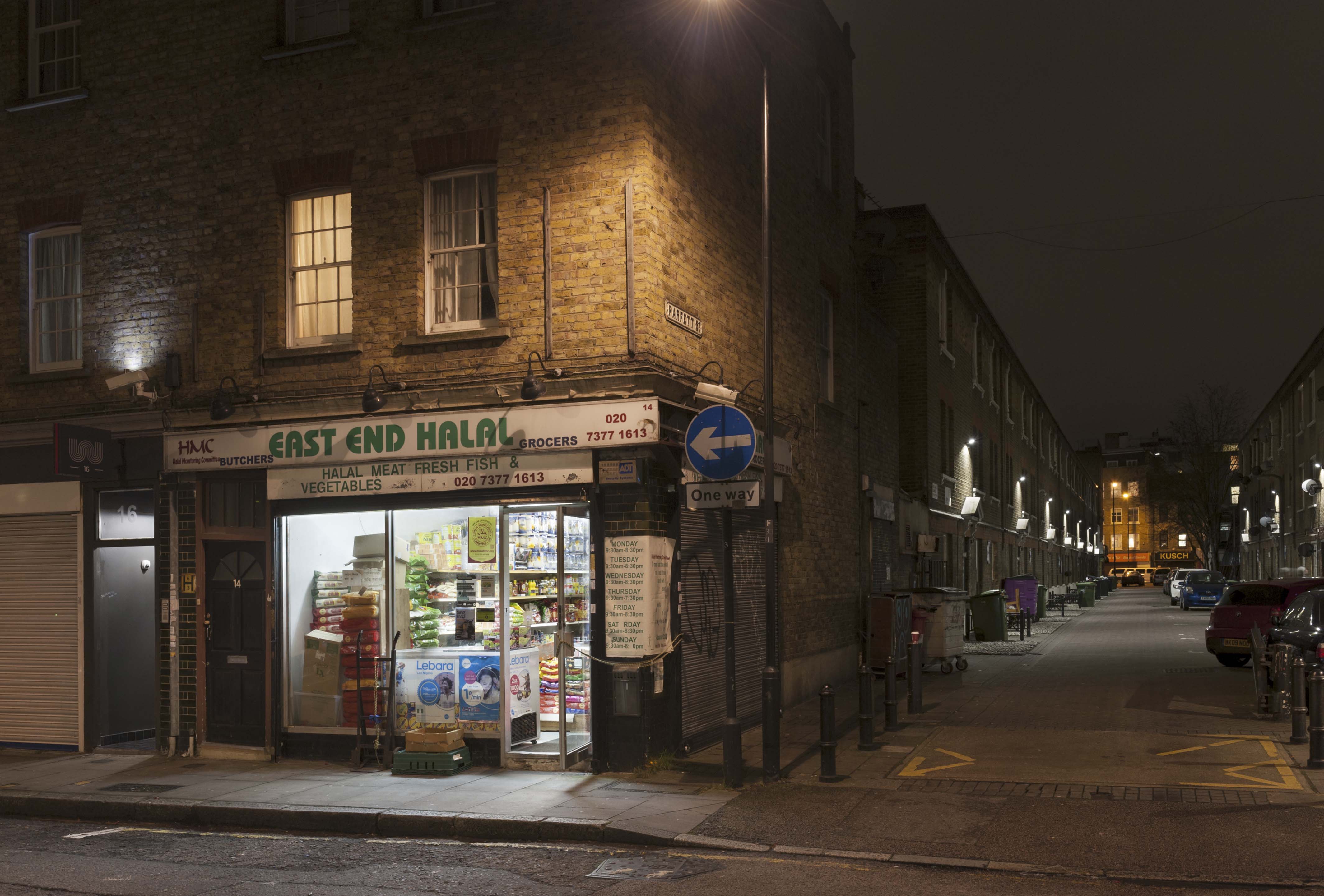
{
"id": 1175,
"title": "14 Fordham Street in early 2018, looking south down Parfett Street",
"author": {
"id": 27,
"username": "DerekKendall"
},
"feature": {
"id": 981,
"type": "Feature",
"geometry": {
"type": "MultiPolygon",
"coordinates": [
[
[
[
-0.063679657258747,
51.51586809674308
],
[
-0.06365881928028,
51.515744826242695
],
[
-0.063731056246046,
51.51574053361196
],
[
-0.063744905176879,
51.515864725825324
],
[
-0.063679657258747,
51.51586809674308
]
]
]
]
},
"properties": {
"b_number": "14",
"b_name": "",
"street": "Fordham Street",
"address": "14 Fordham Street",
"feature_type": "WHITECHAPEL_BUILDING",
"count": 2,
"search_str": "14 Fordham Street"
},
"tags": []
},
"file": "https://surveyoflondon.org/media/uploads/features/981/SoL%20Whitechapel%20101789.jpg",
"description": "",
"copyright": true,
"created": "2018-03-05"
},
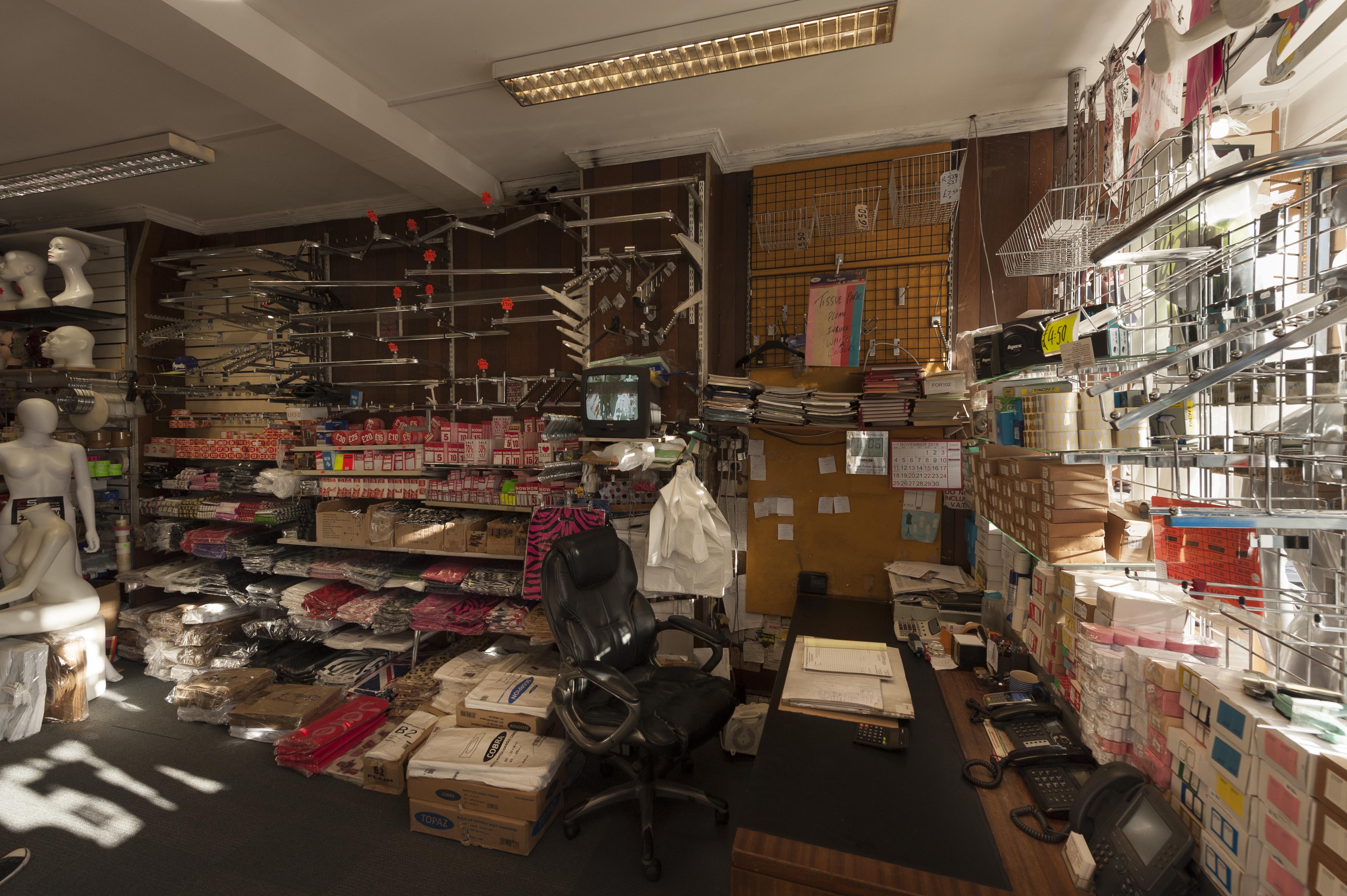
{
"id": 1176,
"title": "14 Fordham Street in early 2018, shop interior",
"author": {
"id": 27,
"username": "DerekKendall"
},
"feature": {
"id": 981,
"type": "Feature",
"geometry": {
"type": "MultiPolygon",
"coordinates": [
[
[
[
-0.063679657258747,
51.51586809674308
],
[
-0.06365881928028,
51.515744826242695
],
[
-0.063731056246046,
51.51574053361196
],
[
-0.063744905176879,
51.515864725825324
],
[
-0.063679657258747,
51.51586809674308
]
]
]
]
},
"properties": {
"b_number": "14",
"b_name": "",
"street": "Fordham Street",
"address": "14 Fordham Street",
"feature_type": "WHITECHAPEL_BUILDING",
"count": 2,
"search_str": "14 Fordham Street"
},
"tags": []
},
"file": "https://surveyoflondon.org/media/uploads/features/981/SoL%20Whitechapel%20101792.jpg",
"description": "",
"copyright": true,
"created": "2018-03-05"
},
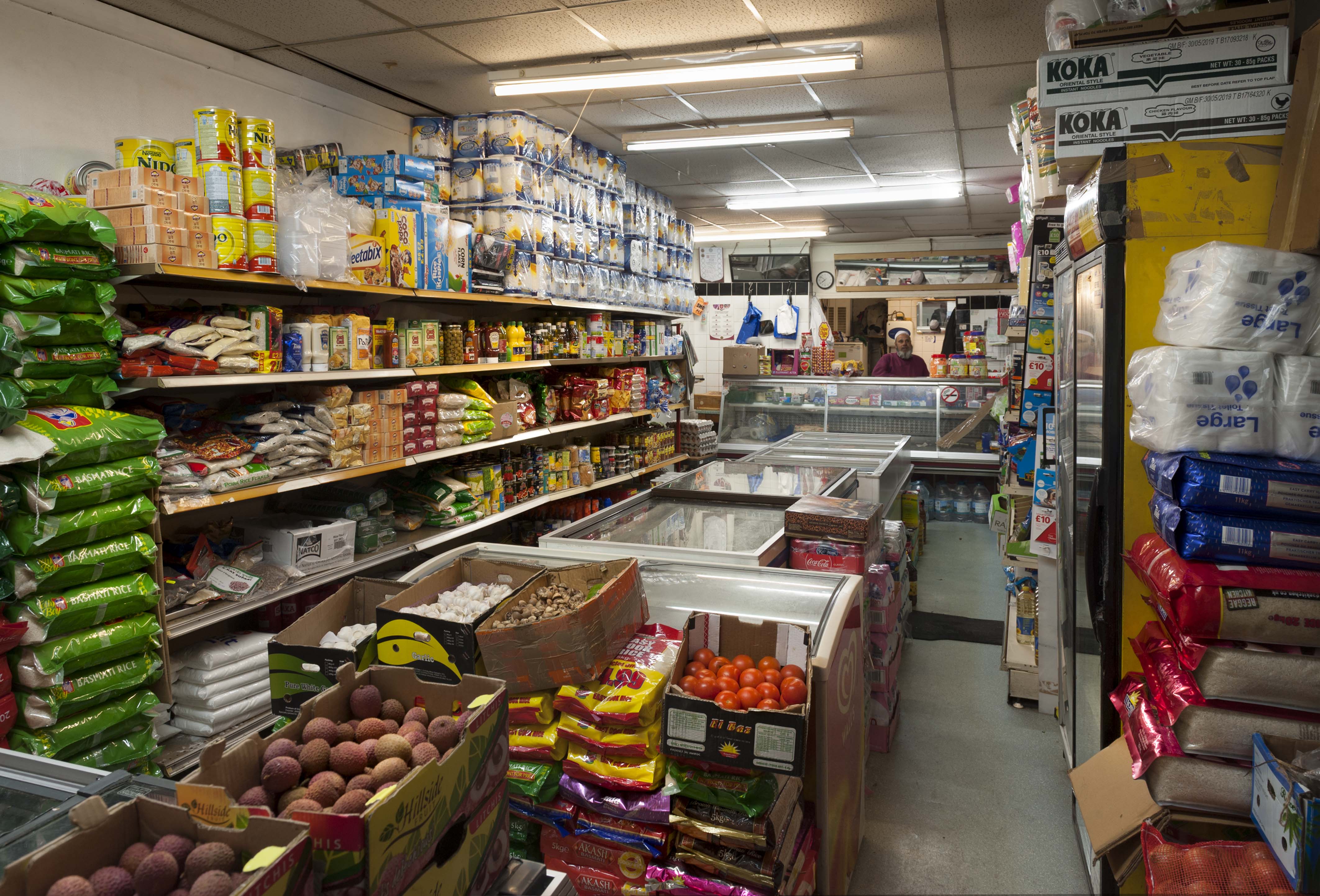
{
"id": 1177,
"title": "8 Fordham Street in early 2018",
"author": {
"id": 27,
"username": "DerekKendall"
},
"feature": {
"id": 986,
"type": "Feature",
"geometry": {
"type": "MultiPolygon",
"coordinates": [
[
[
[
-0.063935457031994,
51.515725610713275
],
[
-0.063950435215503,
51.51585362562353
],
[
-0.063879363524541,
51.515855742156084
],
[
-0.063867742251131,
51.515728412376056
],
[
-0.063935457031994,
51.515725610713275
]
]
]
]
},
"properties": {
"b_number": "8",
"b_name": "",
"street": "Fordham Street",
"address": "8 Fordham Street",
"feature_type": "WHITECHAPEL_BUILDING",
"count": 1,
"search_str": "8 Fordham Street"
},
"tags": []
},
"file": "https://surveyoflondon.org/media/uploads/features/986/SoL%20Whitechapel%20101794.jpg",
"description": "",
"copyright": true,
"created": "2018-03-05"
},
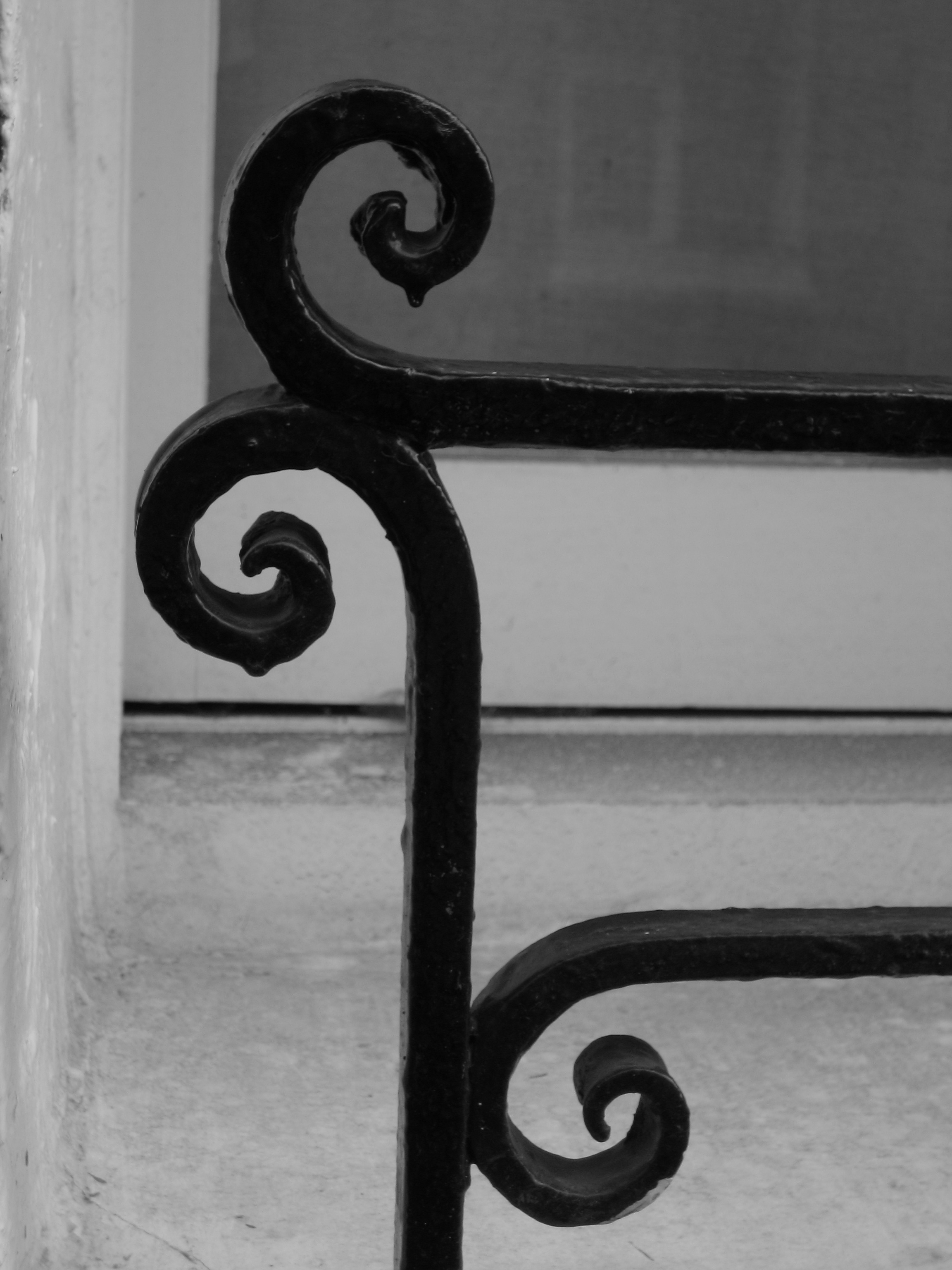
{
"id": 1159,
"title": "Peabody Ironwork",
"author": {
"id": 153,
"username": "danny"
},
"feature": {
"id": 1350,
"type": "Feature",
"geometry": {
"type": "MultiPolygon",
"coordinates": [
[
[
[
-0.069232175663529,
51.51046430830265
],
[
-0.069032508859417,
51.510505874761336
],
[
-0.069000503212806,
51.51044593058072
],
[
-0.069049530086345,
51.510434504947405
],
[
-0.068977295333485,
51.51031040352003
],
[
-0.068931067217321,
51.5103218752112
],
[
-0.068896263190324,
51.510261884916495
],
[
-0.069085913548265,
51.51021432855069
],
[
-0.069232175663529,
51.51046430830265
]
]
]
]
},
"properties": {
"b_number": "",
"b_name": "Block A",
"street": "John Fisher Street",
"address": "Block A, John Fisher Street, Peabody Estate Whitechapel",
"feature_type": "WHITECHAPEL_BUILDING",
"count": 15,
"search_str": "Block A"
},
"tags": []
},
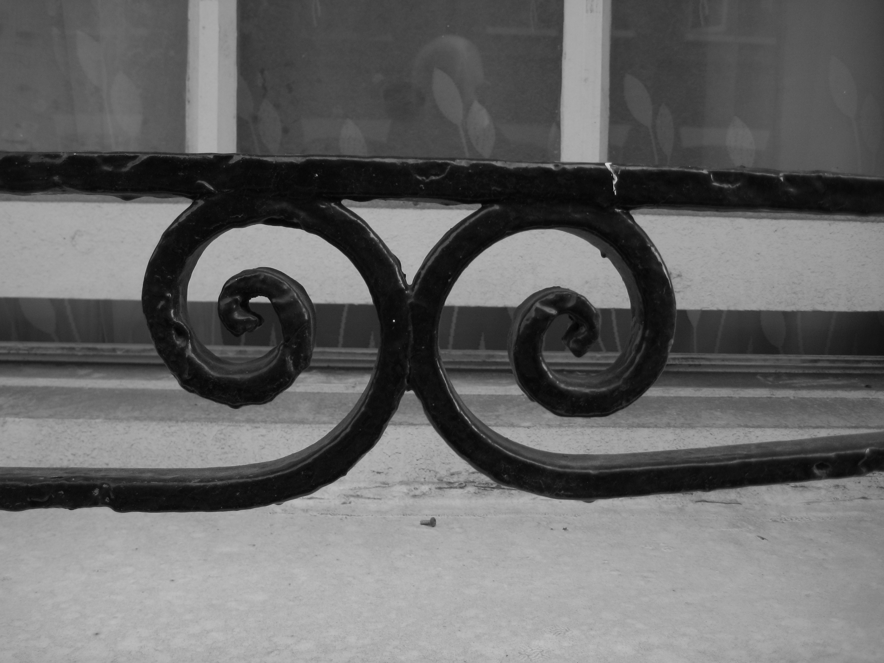
"file": "https://surveyoflondon.org/media/uploads/features/1350/Peabody%20Ironwork%202.jpg",
"description": "Typical Peabody ironwork on window sills on the Whitechapel Estate in John Fisher Street.",
"copyright": false,
"created": "2018-03-04"
},
{
"id": 1158,
"title": "Peabody ironwork",
"author": {
"id": 153,
"username": "danny"
},
"feature": {
"id": 1350,
"type": "Feature",
"geometry": {
"type": "MultiPolygon",
"coordinates": [
[
[
[
-0.069232175663529,
51.51046430830265
],
[
-0.069032508859417,
51.510505874761336
],
[
-0.069000503212806,
51.51044593058072
],
[
-0.069049530086345,
51.510434504947405
],
[
-0.068977295333485,
51.51031040352003
],
[
-0.068931067217321,
51.5103218752112
],
[
-0.068896263190324,
51.510261884916495
],
[
-0.069085913548265,
51.51021432855069
],
[
-0.069232175663529,
51.51046430830265
]
]
]
]
},
"properties": {
"b_number": "",
"b_name": "Block A",
"street": "John Fisher Street",
"address": "Block A, John Fisher Street, Peabody Estate Whitechapel",
"feature_type": "WHITECHAPEL_BUILDING",
"count": 15,
"search_str": "Block A"
},
"tags": []
},
"file": "https://surveyoflondon.org/media/uploads/features/1350/Peabody%20Ironwork%201.jpg",
"description": "Typical Peabody ironwork on window sills on the Whitechapel Estate in John Fisher Street.",
"copyright": false,
"created": "2018-03-04"
},
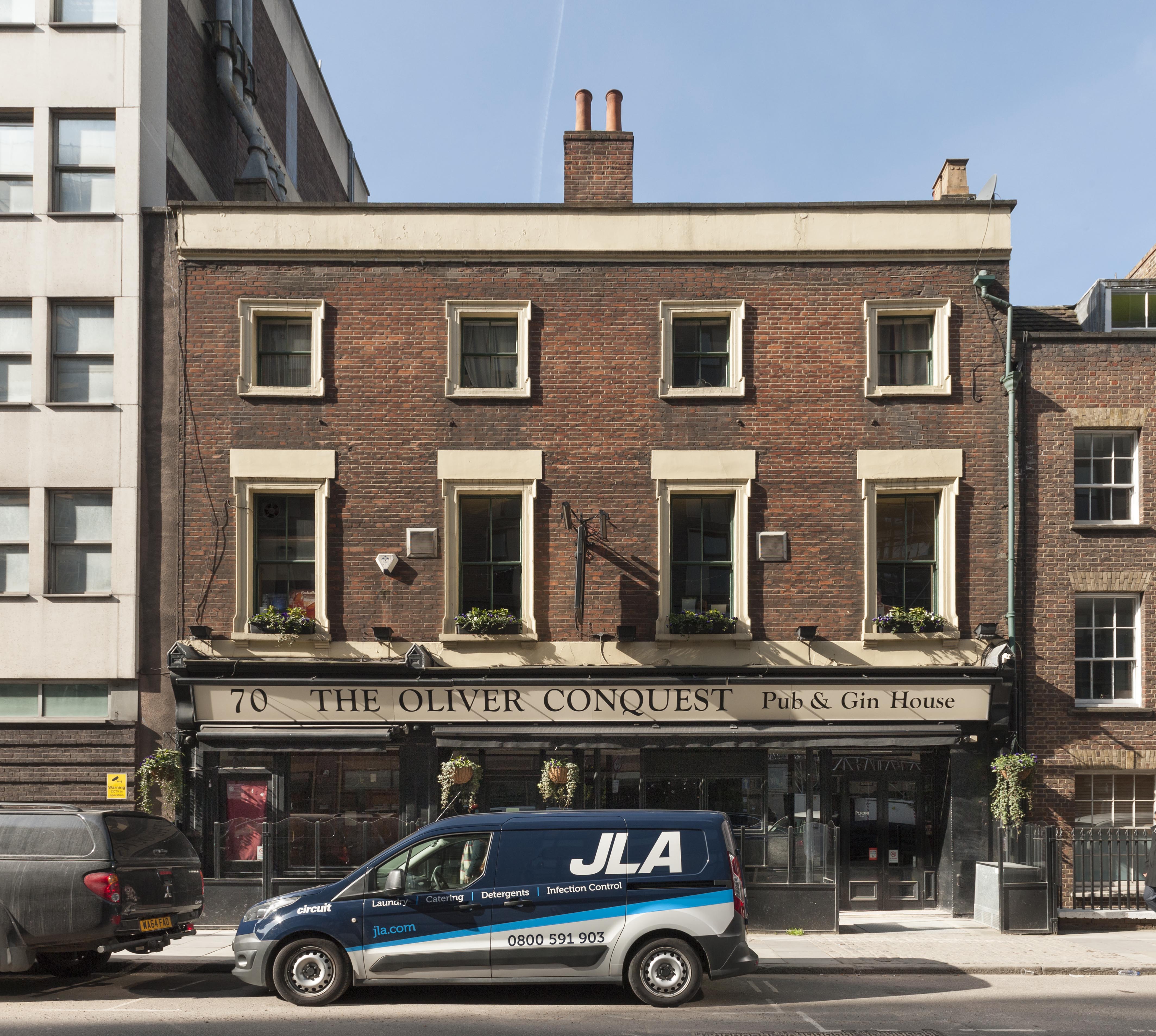
{
"id": 1279,
"title": "Elevation, March 2018",
"author": {
"id": 27,
"username": "DerekKendall"
},
"feature": {
"id": 94,
"type": "Feature",
"geometry": {
"type": "MultiPolygon",
"coordinates": [
[
[
[
-0.070151719826271,
51.512989193779966
],
[
-0.070290186868449,
51.51294878984353
],
[
-0.070349984351699,
51.513025727473
],
[
-0.070212927713261,
51.5130643426255
],
[
-0.070151719826271,
51.512989193779966
]
]
]
]
},
"properties": {
"b_number": "70",
"b_name": "",
"street": "Leman Street",
"address": "The Oliver Conquest, 70 Leman Street",
"feature_type": "WHITECHAPEL_BUILDING",
"count": 5,
"search_str": "The Oliver Conquest, 70 Leman Street"
},
"tags": []
},
"file": "https://surveyoflondon.org/media/uploads/features/94/SoL%20Whitechapel%20101975.jpg",
"description": "",
"copyright": true,
"created": "2018-08-07"
},
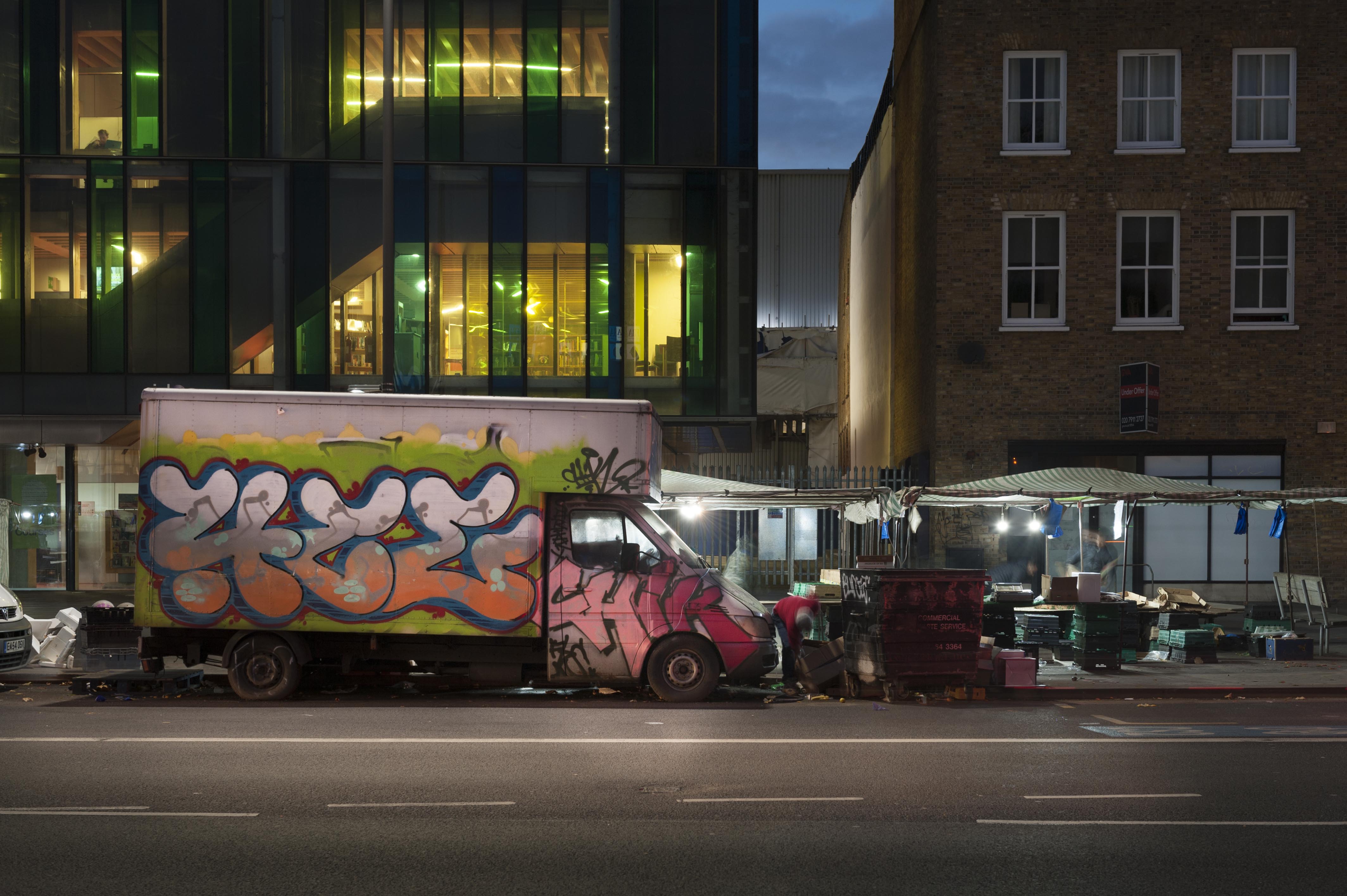
{
"id": 1415,
"title": "Market van in late 2018",
"author": {
"id": 27,
"username": "DerekKendall"
},
"feature": {
"id": 1698,
"type": "Feature",
"geometry": {
"type": "MultiPolygon",
"coordinates": [
[
[
[
-0.062755898137067,
51.51857235799611
],
[
-0.058216859270041,
51.51960039921044
],
[
-0.058148482851386,
51.51948612756745
],
[
-0.061091729886378,
51.51883423152082
],
[
-0.061616259170046,
51.51871888429734
],
[
-0.06270768344222,
51.51847582817058
],
[
-0.062755898137067,
51.51857235799611
]
]
]
]
},
"properties": {
"b_number": "",
"b_name": "",
"street": "Whitechapel Road",
"address": "Whitechapel Market, Whitechapel Road",
"feature_type": "PLACE",
"count": 48,
"search_str": "Whitechapel Market, Whitechapel Road"
},
"tags": []
},
"file": "https://surveyoflondon.org/media/uploads/features/1698/SoL%20Whitechapel%20102270.jpg",
"description": "",
"copyright": true,
"created": "2018-11-13"
}
]
}