HTTP 200 OK
Allow: GET, HEAD, OPTIONS
Content-Type: application/json
Vary: Accept
{
"count": 1747,
"next": "https://surveyoflondon.org/api/v1/images/?format=api&page=54",
"previous": "https://surveyoflondon.org/api/v1/images/?format=api&page=52",
"results": [
{
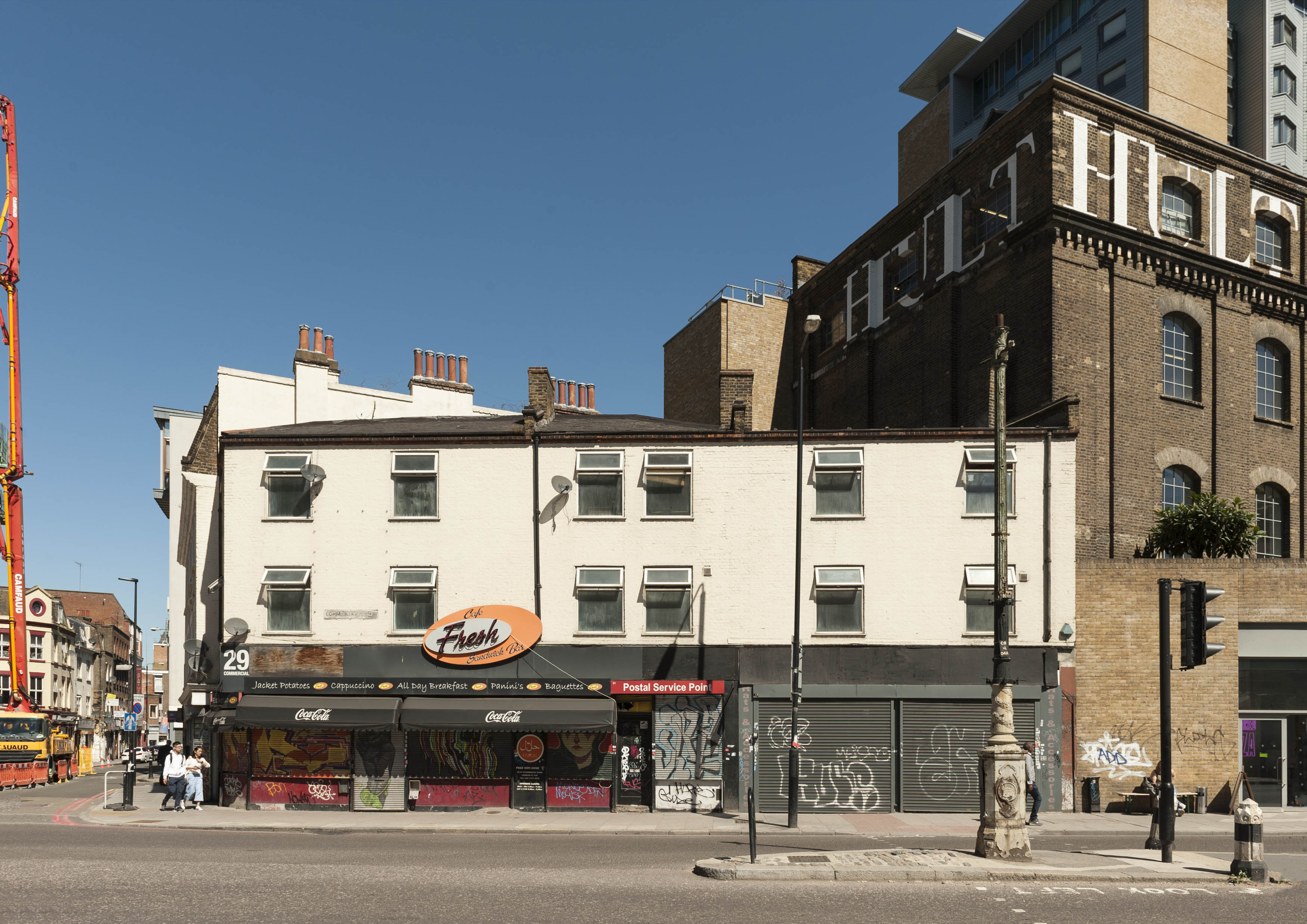
"id": 1324,
"title": "29–31A Commercial Road in 2018",
"author": {
"id": 27,
"username": "DerekKendall"
},
"feature": {
"id": 292,
"type": "Feature",
"geometry": {
"type": "MultiPolygon",
"coordinates": [
[
[
[
-0.068481018200281,
51.515032955895144
],
[
-0.068491755573131,
51.51508885345113
],
[
-0.068491774631066,
51.515088861036816
],
[
-0.068417192787229,
51.51511498918578
],
[
-0.068417163866567,
51.51511498503746
],
[
-0.068397668552997,
51.51503158302935
],
[
-0.068481018200281,
51.515032955895144
]
]
]
]
},
"properties": {
"b_number": "31",
"b_name": "",
"street": "Commercial Road",
"address": "31 Commercial Road",
"feature_type": "WHITECHAPEL_BUILDING",
"count": 5,
"search_str": "31 Commercial Road"
},
"tags": [
"Herbert O. Ellis",
"Solomon Kirstein"
]
},
"file": "https://surveyoflondon.org/media/uploads/features/292/SoL%20Whitechapel%20102088.jpg",
"description": "",
"copyright": true,
"created": "2018-08-13"
},
{
"id": 425,
"title": "NE entrance to Aldgate Bars Underpass, 2011",
"author": {
"id": 66,
"username": "ddavid212"
},
"feature": {
"id": 412,
"type": "Feature",
"geometry": {
"type": "MultiPolygon",
"coordinates": [
[
[
[
-0.074012377775073,
51.51467748481298
],
[
-0.073983102664757,
51.51468897957842
],
[
-0.073892347597563,
51.51462748821428
],
[
-0.073737883579577,
51.514681742397556
],
[
-0.07371880686675,
51.51466591527795
],
[
-0.073900376177773,
51.51460205045548
],
[
-0.074012377775073,
51.51467748481298
]
]
]
]
},
"properties": {
"b_number": "141 to 143",
"b_name": "hoarding on site of 141-143 Whitechapel High Street",
"street": "Whitechapel High Street",
"address": "141-143 Whitechapel High Street",
"feature_type": "WHITECHAPEL_BUILDING",
"count": 8,
"search_str": "hoarding on site of 141-143 Whitechapel High Street"
},
"tags": []
},
"file": "https://surveyoflondon.org/media/uploads/features/412/subway6.JPG",
"description": "Situated below the site of the former Aldgate Bars and present-day Whitechapel-Aldgate junction, this underpass was closed in 2015.",
"copyright": false,
"created": "2016-10-23"
},
{
"id": 1154,
"title": "Royal Mint Street, 1980s",
"author": {
"id": 153,
"username": "danny"
},
"feature": {
"id": 1356,
"type": "Feature",
"geometry": {
"type": "MultiPolygon",
"coordinates": [
[
[
[
-0.068858573135575,
51.51054500766111
],
[
-0.068911333158757,
51.51068540904317
],
[
-0.06868410041276,
51.510704922264615
],
[
-0.068650975113834,
51.51069507453173
],
[
-0.068604119477972,
51.510588218458984
],
[
-0.068858573135575,
51.51054500766111
]
]
]
]
},
"properties": {
"b_number": "66",
"b_name": "",
"street": "Royal Mint Street",
"address": "66 Royal Mint Street",
"feature_type": "WHITECHAPEL_BUILDING",
"count": 7,
"search_str": "66 Royal Mint Street"
},
"tags": []
},
"file": "https://surveyoflondon.org/media/uploads/features/1356/Royal%20Mint%20Street%20cnr%20Leman%20St%201980s.jpg",
"description": "The north-west junction of Royal Mint Street and Leman Street prior to the demolition of these buildings to accommodate the construction of the Docklands Light Railway from 1985 onwards.",
"copyright": false,
"created": "2018-03-04"
},
{
"id": 695,
"title": "The Culpeper, Commercial Street frontage, June 2017",
"author": {
"id": 27,
"username": "DerekKendall"
},
"feature": {
"id": 361,
"type": "Feature",
"geometry": {
"type": "MultiPolygon",
"coordinates": [
[
[
[
-0.072767575103936,
51.516845305306816
],
[
-0.072982437061767,
51.51677817553716
],
[
-0.073050882093095,
51.51685314376525
],
[
-0.073030606825987,
51.51687969929775
],
[
-0.072802739910383,
51.51688939919542
],
[
-0.072767575103936,
51.516845305306816
]
]
]
]
},
"properties": {
"b_number": "40-42",
"b_name": "The Culpeper, 40-42 Commercial Street",
"street": "Commercial Street",
"address": "The Culpeper, 40 Commercial Street",
"feature_type": "WHITECHAPEL_BUILDING",
"count": 5,
"search_str": "The Culpeper, 40-42 Commercial Street"
},
"tags": []
},
"file": "https://surveyoflondon.org/media/uploads/features/361/SoL%20Whitechapel%20100819.jpg",
"description": "",
"copyright": true,
"created": "2017-07-20"
},
{
"id": 1326,
"title": "27 Commercial Road, reconstruction, summer 2018",
"author": {
"id": 27,
"username": "DerekKendall"
},
"feature": {
"id": 163,
"type": "Feature",
"geometry": {
"type": "MultiPolygon",
"coordinates": [
[
[
[
-0.069006748471199,
51.515056881184485
],
[
-0.069009634954423,
51.51513326502677
],
[
-0.068909847372669,
51.51508200326037
],
[
-0.068894890292467,
51.515049950163004
],
[
-0.069006748471199,
51.515056881184485
]
]
]
]
},
"properties": {
"b_number": "27B",
"b_name": "",
"street": "Commercial Road",
"address": "27B Commercial Road",
"feature_type": "WHITECHAPEL_BUILDING",
"count": 1,
"search_str": "27B Commercial Road"
},
"tags": []
},
"file": "https://surveyoflondon.org/media/uploads/features/163/SoL%20Whitechapel%20102091.jpg",
"description": "",
"copyright": true,
"created": "2018-08-13"
},
{
"id": 441,
"title": "View from the 8th floor of the Royal London Hospital, looking west ",
"author": {
"id": 18,
"username": "shahedsaleem"
},
"feature": {
"id": 1055,
"type": "Feature",
"geometry": {
"type": "MultiPolygon",
"coordinates": [
[
[
[
-0.059603168139066,
51.51814636262423
],
[
-0.05875064513042,
51.51833756100746
],
[
-0.05880027021497,
51.518428132403216
],
[
-0.058410175950557,
51.51851717894338
],
[
-0.058335119342649,
51.518387426557936
],
[
-0.058167883621195,
51.51840165384316
],
[
-0.058022191519375,
51.51770291533161
],
[
-0.058048225832449,
51.51770082847909
],
[
-0.0579567547367,
51.51754022786524
],
[
-0.057495813231092,
51.51758034522329
],
[
-0.057465726563153,
51.517443962991116
],
[
-0.057673016552398,
51.517425768571606
],
[
-0.057646690264841,
51.51729977054202
],
[
-0.057699256976843,
51.517294411534294
],
[
-0.059206618543123,
51.51716361286622
],
[
-0.05935638144775,
51.51742122218897
],
[
-0.059104959322273,
51.51744251080535
],
[
-0.059176189888187,
51.51756734317978
],
[
-0.05939181053717,
51.51754735040721
],
[
-0.059446707065502,
51.517822454567046
],
[
-0.059415919392695,
51.51782446306142
],
[
-0.059603168139066,
51.51814636262423
]
]
]
]
},
"properties": {
"b_number": "",
"b_name": "",
"street": "Stepney Way",
"address": "The Royal London Hospital",
"feature_type": "WHITECHAPEL_BUILDING",
"count": 13,
"search_str": "The Royal London Hospital"
},
"tags": []
},
"file": "https://surveyoflondon.org/media/uploads/features/1055/Shahed.jpg-large",
"description": "",
"copyright": false,
"created": "2016-11-10"
},
{
"id": 250,
"title": "The Royal London Hospital, view from East Mount Street",
"author": {
"id": 27,
"username": "DerekKendall"
},
"feature": {
"id": 1055,
"type": "Feature",
"geometry": {
"type": "MultiPolygon",
"coordinates": [
[
[
[
-0.059603168139066,
51.51814636262423
],
[
-0.05875064513042,
51.51833756100746
],
[
-0.05880027021497,
51.518428132403216
],
[
-0.058410175950557,
51.51851717894338
],
[
-0.058335119342649,
51.518387426557936
],
[
-0.058167883621195,
51.51840165384316
],
[
-0.058022191519375,
51.51770291533161
],
[
-0.058048225832449,
51.51770082847909
],
[
-0.0579567547367,
51.51754022786524
],
[
-0.057495813231092,
51.51758034522329
],
[
-0.057465726563153,
51.517443962991116
],
[
-0.057673016552398,
51.517425768571606
],
[
-0.057646690264841,
51.51729977054202
],
[
-0.057699256976843,
51.517294411534294
],
[
-0.059206618543123,
51.51716361286622
],
[
-0.05935638144775,
51.51742122218897
],
[
-0.059104959322273,
51.51744251080535
],
[
-0.059176189888187,
51.51756734317978
],
[
-0.05939181053717,
51.51754735040721
],
[
-0.059446707065502,
51.517822454567046
],
[
-0.059415919392695,
51.51782446306142
],
[
-0.059603168139066,
51.51814636262423
]
]
]
]
},
"properties": {
"b_number": "",
"b_name": "",
"street": "Stepney Way",
"address": "The Royal London Hospital",
"feature_type": "WHITECHAPEL_BUILDING",
"count": 13,
"search_str": "The Royal London Hospital"
},
"tags": []
},
"file": "https://surveyoflondon.org/media/uploads/features/1055/SoL%20Whitechapel100022.jpg",
"description": "The Royal London Hospital, as seen from the junction of East Mount Street and Whitechapel Road. ",
"copyright": true,
"created": "2016-08-17"
},
{
"id": 683,
"title": "Lewis & Co., Artists in Photography ",
"author": {
"id": 160,
"username": "Halina13"
},
"feature": {
"id": 385,
"type": "Feature",
"geometry": {
"type": "MultiPolygon",
"coordinates": [
[
[
[
-0.071045385181981,
51.51564522716393
],
[
-0.071127164071961,
51.51572549942702
],
[
-0.071127166728351,
51.515725506171414
],
[
-0.071151330117558,
51.51574847699307
],
[
-0.071202630199858,
51.515795266773814
],
[
-0.071227924353453,
51.5157869169068
],
[
-0.071296116750057,
51.51586388359572
],
[
-0.071227748506919,
51.51589203271495
],
[
-0.071118645083377,
51.51579633429836
],
[
-0.071097964586279,
51.51580546759357
],
[
-0.070964349557785,
51.51567839373789
],
[
-0.071045385181981,
51.51564522716393
]
]
]
]
},
"properties": {
"b_number": "92-3",
"b_name": "92-3 Whitechapel High Street",
"street": "Whitechapel High Street",
"address": "92-3 Whitechapel High Street",
"feature_type": "WHITECHAPEL_BUILDING",
"count": 6,
"search_str": "92-3 Whitechapel High Street"
},
"tags": []
},
"file": "https://surveyoflondon.org/media/uploads/features/385/olden%202%20(1).jpg",
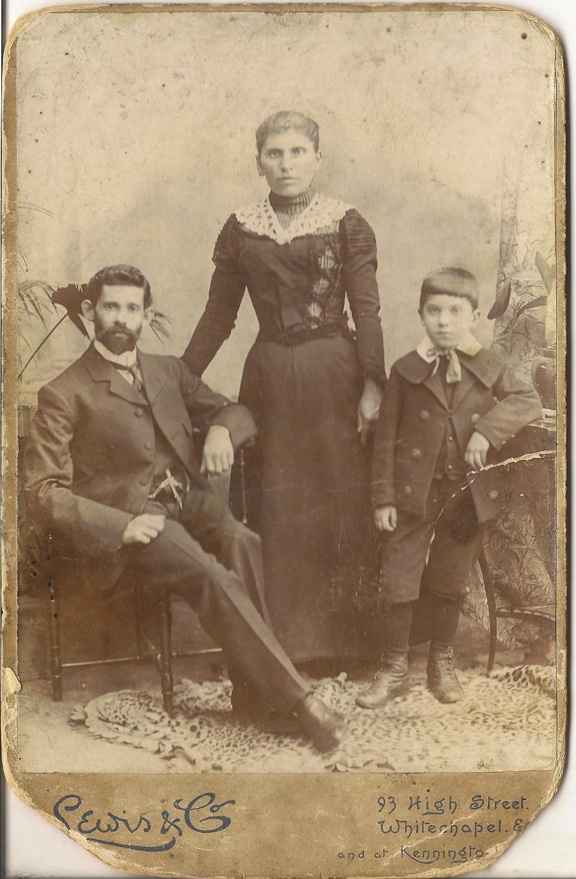
"description": "This is the back of a picture of my great grandmother's sister, her husband and their son, showing the photographer's address in Whitechapel High Street. They immigrated from Belarus to London in 1917 and sent this picture to my great grandmother. Unfortunately, I do not know their names as we lost the connection during Soviet Union years. All I know is her maiden name was Levitt.",
"copyright": false,
"created": "2017-06-09"
},
{
"id": 684,
"title": "Lost family ",
"author": {
"id": 160,
"username": "Halina13"
},
"feature": {
"id": 385,
"type": "Feature",
"geometry": {
"type": "MultiPolygon",
"coordinates": [
[
[
[
-0.071045385181981,
51.51564522716393
],
[
-0.071127164071961,
51.51572549942702
],
[
-0.071127166728351,
51.515725506171414
],
[
-0.071151330117558,
51.51574847699307
],
[
-0.071202630199858,
51.515795266773814
],
[
-0.071227924353453,
51.5157869169068
],
[
-0.071296116750057,
51.51586388359572
],
[
-0.071227748506919,
51.51589203271495
],
[
-0.071118645083377,
51.51579633429836
],
[
-0.071097964586279,
51.51580546759357
],
[
-0.070964349557785,
51.51567839373789
],
[
-0.071045385181981,
51.51564522716393
]
]
]
]
},
"properties": {
"b_number": "92-3",
"b_name": "92-3 Whitechapel High Street",
"street": "Whitechapel High Street",
"address": "92-3 Whitechapel High Street",
"feature_type": "WHITECHAPEL_BUILDING",
"count": 6,
"search_str": "92-3 Whitechapel High Street"
},
"tags": []
},
"file": "https://surveyoflondon.org/media/uploads/features/385/Lewis%20%26%20Co%20from%20Halina%20via%20website.jpg",
"description": "This is a picture of my great grandmother's sister, her husband and their son, photographed by Lewis & Co., 93 Whitechapel High Street, in 1919. They immigrated from Belarus to London in 1917 and sent this picture to my great grandmother. Unfortunately, I do not know their names as we lost the connection during Soviet Union years. All I know is her maiden name was Levitt.",
"copyright": false,
"created": "2017-06-12"
},
{
"id": 1376,
"title": "Marks Deli",
"author": {
"id": 252,
"username": "mark3"
},
"feature": {
"id": 416,
"type": "Feature",
"geometry": {
"type": "MultiPolygon",
"coordinates": [
[
[
[
-0.074008398509168,
51.51649894342819
],
[
-0.074223298509118,
51.51677594342837
],
[
-0.074160667999642,
51.51678116450384
],
[
-0.07406279493191,
51.51665740746994
],
[
-0.073691098508962,
51.516691743428304
],
[
-0.074008398509168,
51.51649894342819
]
]
]
]
},
"properties": {
"b_number": "52",
"b_name": "The Community Centre",
"street": "Old Castle Street",
"address": "The Community Centre, 52 Old Castle Street",
"feature_type": "WHITECHAPEL_BUILDING",
"count": 5,
"search_str": "The Community Centre"
},
"tags": []
},
"file": "https://surveyoflondon.org/media/uploads/features/416/Old%20Castle%20Street%20Marks.jpg",
"description": "A view down Old Castle Street in 1978 to to an East End icon, Marks of the Lane, 57 - 59 Wentworth Street - run by great-uncle, Mossy Marks",
"copyright": false,
"created": "2018-10-28"
},
{
"id": 416,
"title": "Leyden Street",
"author": {
"id": 56,
"username": "tamara"
},
"feature": {
"id": 1742,
"type": "Feature",
"geometry": {
"type": "MultiPolygon",
"coordinates": [
[
[
[
-0.076387722492951,
51.516257872286374
],
[
-0.07580974439088,
51.51649846859169
],
[
-0.075744693982384,
51.51651411423466
],
[
-0.075332716624042,
51.51665341173461
],
[
-0.075277819023276,
51.516667372076085
],
[
-0.074429584483841,
51.51681699796736
],
[
-0.074402209988697,
51.516763242480046
],
[
-0.075229889371391,
51.51661092868018
],
[
-0.074836715281391,
51.516135055700595
],
[
-0.074917049606191,
51.51611135328064
],
[
-0.075312012611936,
51.51658616747119
],
[
-0.075695505281233,
51.51646463519818
],
[
-0.075779072585588,
51.51644696856364
],
[
-0.076328753388395,
51.516209038390684
],
[
-0.076387722492951,
51.516257872286374
]
]
]
]
},
"properties": {
"b_number": "",
"b_name": "",
"street": "",
"address": "Petticoat Lane Market",
"feature_type": "PLACE",
"count": 39,
"search_str": "Petticoat Lane Market"
},
"tags": []
},
"file": "https://surveyoflondon.org/media/uploads/features/1742/tstoll09.jpg",
"description": "Documenting the streets of Petticoat Lane market, image taken in 2016 by Tamara Stoll. A view from Wentworth Street north up Leyden Street, Spitalfields.\n",
"copyright": false,
"created": "2016-09-25"
},
{
"id": 1372,
"title": "74 Whitechapel High Street from the south in 2018",
"author": {
"id": 27,
"username": "DerekKendall"
},
"feature": {
"id": 313,
"type": "Feature",
"geometry": {
"type": "MultiPolygon",
"coordinates": [
[
[
[
-0.069899913067935,
51.51612790461924
],
[
-0.069839115216482,
51.51615034260828
],
[
-0.069792900937279,
51.51608762140393
],
[
-0.069841762455144,
51.516064524555695
],
[
-0.069899913067935,
51.51612790461924
]
]
]
]
},
"properties": {
"b_number": "74",
"b_name": "74 Whitechapel High Street",
"street": "Whitechapel High Street",
"address": "74 Whitechapel High Street",
"feature_type": "WHITECHAPEL_BUILDING",
"count": 5,
"search_str": "74 Whitechapel High Street"
},
"tags": []
},
"file": "https://surveyoflondon.org/media/uploads/features/313/SoL%20Whitechapel%20102229.jpg",
"description": "",
"copyright": true,
"created": "2018-10-10"
},
{
"id": 1199,
"title": "Bar Indo, 133 Whitechapel Road, interior from the south in early 2018",
"author": {
"id": 27,
"username": "DerekKendall"
},
"feature": {
"id": 437,
"type": "Feature",
"geometry": {
"type": "MultiPolygon",
"coordinates": [
[
[
[
-0.065795294340421,
51.51786534440968
],
[
-0.065746488420915,
51.517884201539125
],
[
-0.065653063212912,
51.517780108099075
],
[
-0.065725498229974,
51.51775563906246
],
[
-0.065813903711342,
51.517858154302715
],
[
-0.065795294340421,
51.51786534440968
]
]
]
]
},
"properties": {
"b_number": "133",
"b_name": "",
"street": "Whitechapel Road",
"address": "Bar Indo (formerly the Blue Anchor Public House), 133 Whitechapel Road",
"feature_type": "WHITECHAPEL_BUILDING",
"count": 10,
"search_str": "Bar Indo (formerly the Blue Anchor Public House), 133 Whitechapel Road"
},
"tags": []
},
"file": "https://surveyoflondon.org/media/uploads/features/437/SoL%20Whitechapel%20101845.jpg",
"description": "",
"copyright": true,
"created": "2018-03-05"
},
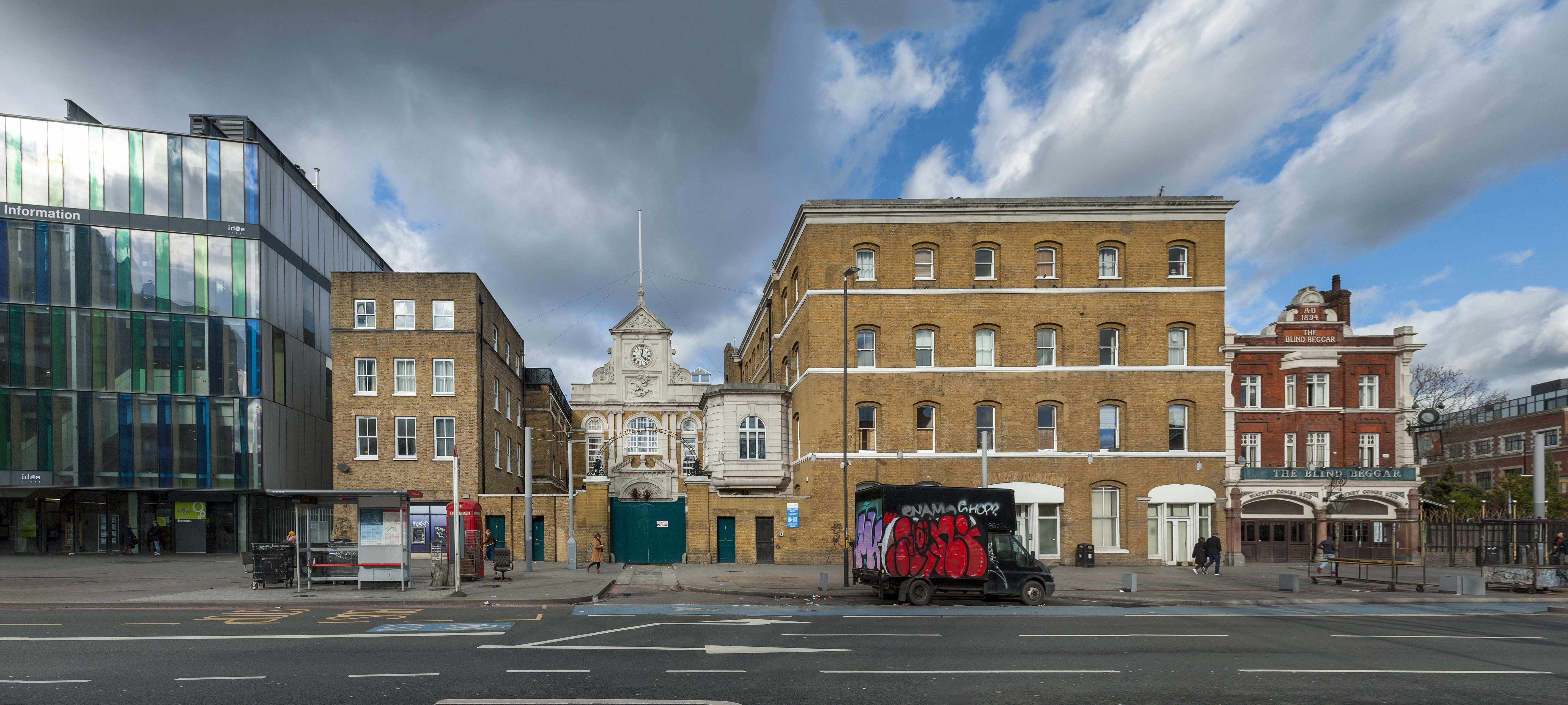
{
"id": 1142,
"title": "Whitechapel Idea Store, Albion Yard and the Blind Beggar, Whitechapel Road, in 2018",
"author": {
"id": 27,
"username": "DerekKendall"
},
"feature": {
"id": 520,
"type": "Feature",
"geometry": {
"type": "MultiPolygon",
"coordinates": [
[
[
[
-0.057451908164031,
51.520162779025306
],
[
-0.057385151743417,
51.52014697732775
],
[
-0.057385151743417,
51.52014697732775
],
[
-0.057364829396847,
51.52012670800705
],
[
-0.057170213282674,
51.52016963984626
],
[
-0.057098750275007,
51.52004461290751
],
[
-0.057044351749301,
51.52005556326038
],
[
-0.056960904550882,
51.519899865751334
],
[
-0.057272372805932,
51.51983178447637
],
[
-0.057281839102929,
51.5198457992335
],
[
-0.057510183674525,
51.51979460999542
],
[
-0.057612401717062,
51.51977401899527
],
[
-0.057799568433219,
51.52008839297032
],
[
-0.057451908164031,
51.520162779025306
]
],
[
[
-0.057548041923775,
51.52000904200745
],
[
-0.05753215107996,
51.5199815011314
],
[
-0.057585595210164,
51.51996949919713
],
[
-0.057536388591122,
51.519884217752235
],
[
-0.057561162003418,
51.5198786543838
],
[
-0.05751392250335,
51.51979894591583
],
[
-0.057335517633486,
51.51983860864988
],
[
-0.057344903465109,
51.519858110469535
],
[
-0.057364830684365,
51.51985365150651
],
[
-0.057387997106671,
51.51989693261775
],
[
-0.05731968525021,
51.519912116173
],
[
-0.057400572419345,
51.52004119539844
],
[
-0.057548041923775,
51.52000904200745
]
]
]
]
},
"properties": {
"b_number": "331-335",
"b_name": "Albion Yard (formerly Albion Brewery)",
"street": "Whitechapel Road",
"address": "Albion Yard, 331-335 Whitechapel Road",
"feature_type": "WHITECHAPEL_BUILDING",
"count": 11,
"search_str": "Albion Yard (formerly Albion Brewery)"
},
"tags": []
},
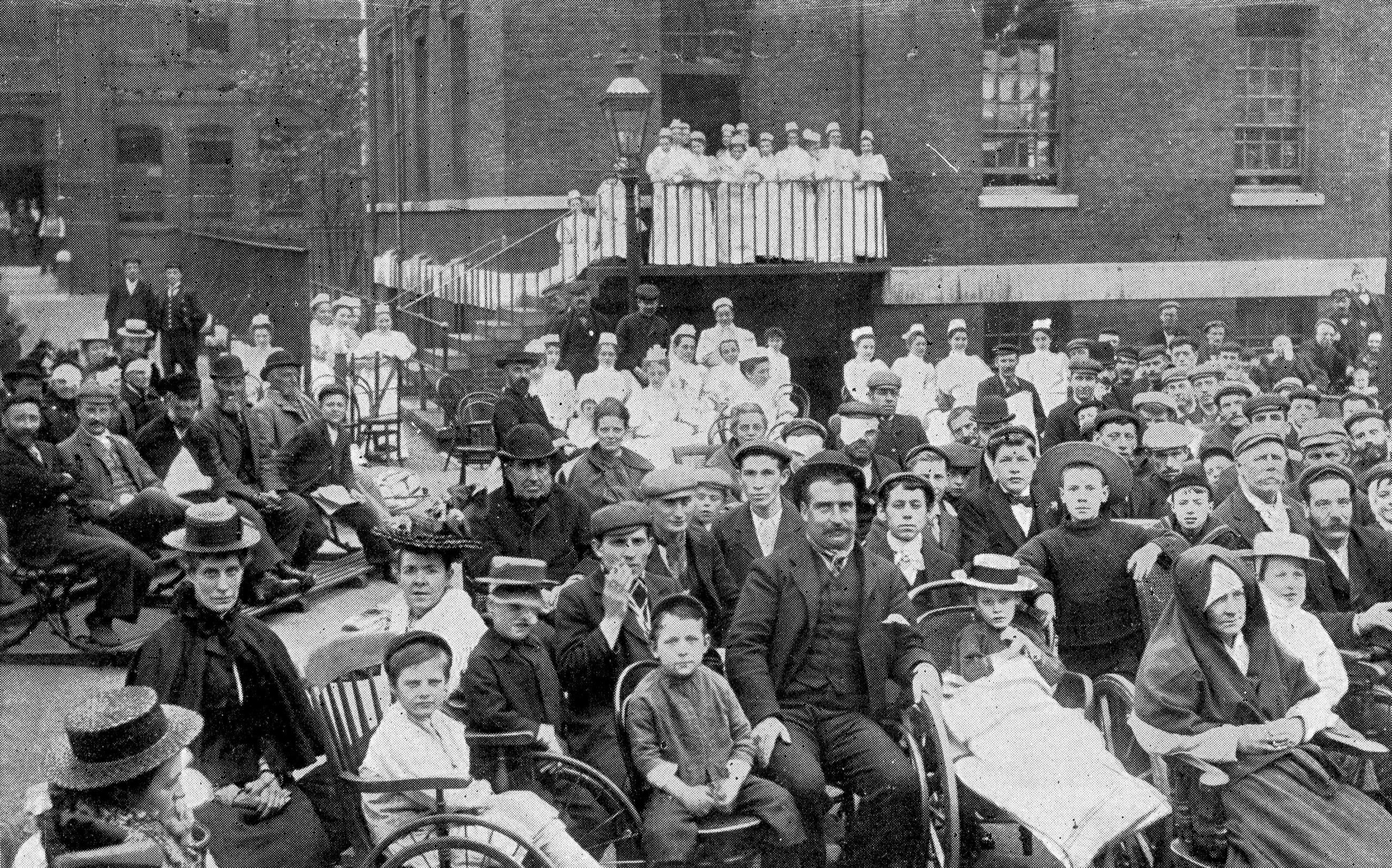
"file": "https://surveyoflondon.org/media/uploads/features/520/SoL%20Whitechapel%20101743.jpg",
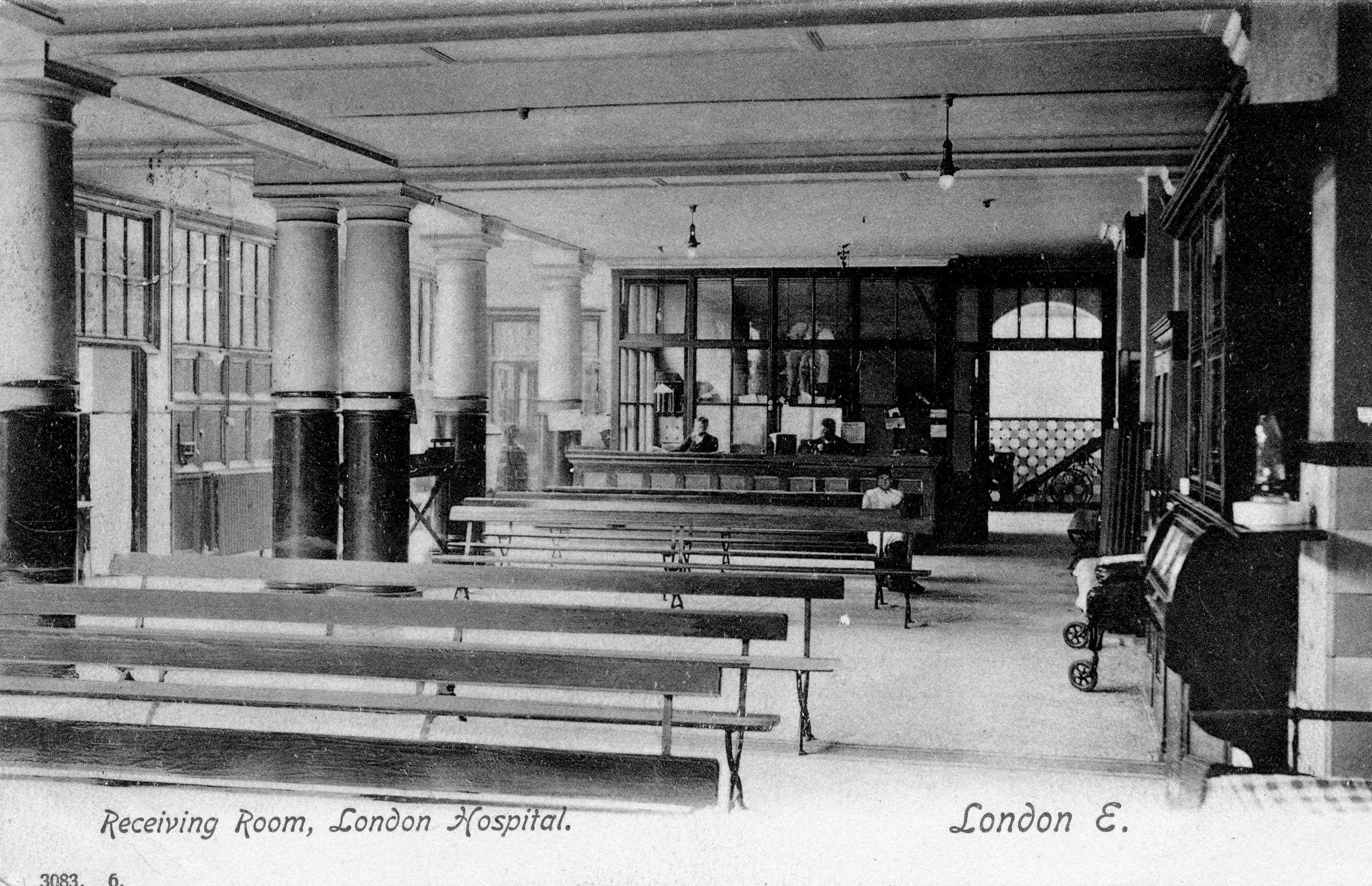
"description": "",
"copyright": true,
"created": "2018-02-21"
},
{
"id": 1131,
"title": "Gardens at the London Hospital, c.1900s",
"author": {
"id": 2,
"username": "surveyoflondon"
},
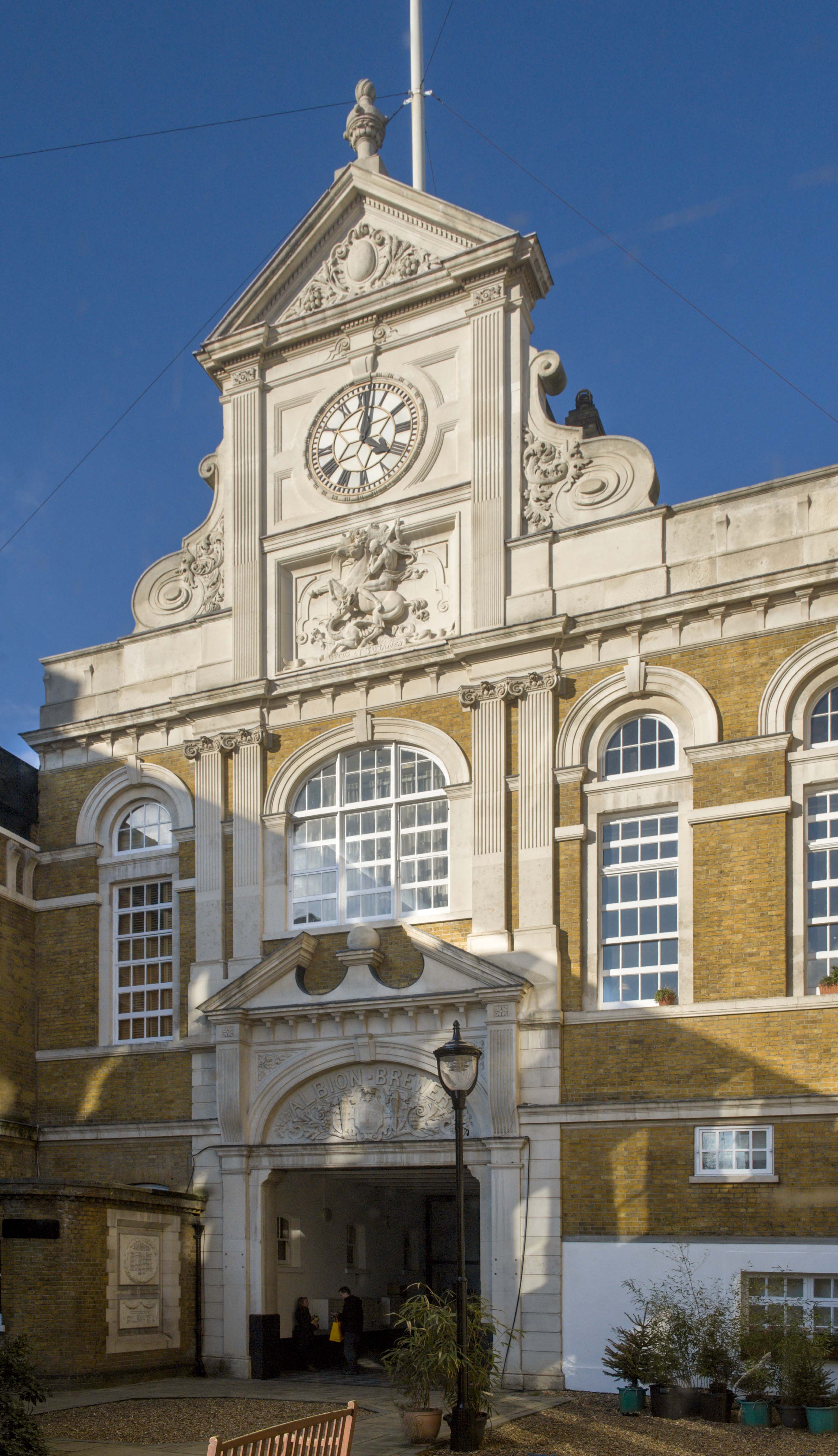
"feature": {
"id": 1230,
"type": "Feature",
"geometry": {
"type": "MultiPolygon",
"coordinates": [
[
[
[
-0.06071898744648,
51.51847914149303
],
[
-0.060743358937849,
51.518529899918775
],
[
-0.060362148562617,
51.518618013153
],
[
-0.060404024127419,
51.51868851949335
],
[
-0.060356952993906,
51.51869974522794
],
[
-0.060399234817198,
51.51877056309998
],
[
-0.060042469531136,
51.5188530372297
],
[
-0.060006551123239,
51.51879256032364
],
[
-0.05997171006068,
51.51880061452483
],
[
-0.059923949522789,
51.51872019830377
],
[
-0.059602716389847,
51.51879445706454
],
[
-0.059631951693606,
51.51884368227145
],
[
-0.059135089420495,
51.51895853862307
],
[
-0.059031394281591,
51.51878393727422
],
[
-0.059075483581288,
51.51877374555587
],
[
-0.05923306113512,
51.518737319626666
],
[
-0.059261815633844,
51.518785736083466
],
[
-0.059453095208379,
51.51874286661955
],
[
-0.059437777096903,
51.51871791341666
],
[
-0.059509844762857,
51.518701022201654
],
[
-0.059472510825189,
51.51863713193043
],
[
-0.059893693119402,
51.51853565124978
],
[
-0.059897251108141,
51.51854177905041
],
[
-0.060406197614306,
51.5184267554985
],
[
-0.060388475186227,
51.51839623334771
],
[
-0.060226549751936,
51.51811735804654
],
[
-0.060490662909997,
51.51805857683586
],
[
-0.060500593175314,
51.518078725457706
],
[
-0.06071898744648,
51.51847914149303
]
]
]
]
},
"properties": {
"b_number": "",
"b_name": "Former Royal London Hospital",
"street": "",
"address": "Former Royal London Hospital ",
"feature_type": "WHITECHAPEL_BUILDING",
"count": 53,
"search_str": "Former Royal London Hospital"
},
"tags": []
},
"file": "https://surveyoflondon.org/media/uploads/features/1230/London%20Hospital%20Gardens002.jpg",
"description": "",
"copyright": false,
"created": "2018-02-14"
},
{
"id": 1132,
"title": "Receiving Room in the front block of the London Hospital, c.1913",
"author": {
"id": 2,
"username": "surveyoflondon"
},
"feature": {
"id": 1230,
"type": "Feature",
"geometry": {
"type": "MultiPolygon",
"coordinates": [
[
[
[
-0.06071898744648,
51.51847914149303
],
[
-0.060743358937849,
51.518529899918775
],
[
-0.060362148562617,
51.518618013153
],
[
-0.060404024127419,
51.51868851949335
],
[
-0.060356952993906,
51.51869974522794
],
[
-0.060399234817198,
51.51877056309998
],
[
-0.060042469531136,
51.5188530372297
],
[
-0.060006551123239,
51.51879256032364
],
[
-0.05997171006068,
51.51880061452483
],
[
-0.059923949522789,
51.51872019830377
],
[
-0.059602716389847,
51.51879445706454
],
[
-0.059631951693606,
51.51884368227145
],
[
-0.059135089420495,
51.51895853862307
],
[
-0.059031394281591,
51.51878393727422
],
[
-0.059075483581288,
51.51877374555587
],
[
-0.05923306113512,
51.518737319626666
],
[
-0.059261815633844,
51.518785736083466
],
[
-0.059453095208379,
51.51874286661955
],
[
-0.059437777096903,
51.51871791341666
],
[
-0.059509844762857,
51.518701022201654
],
[
-0.059472510825189,
51.51863713193043
],
[
-0.059893693119402,
51.51853565124978
],
[
-0.059897251108141,
51.51854177905041
],
[
-0.060406197614306,
51.5184267554985
],
[
-0.060388475186227,
51.51839623334771
],
[
-0.060226549751936,
51.51811735804654
],
[
-0.060490662909997,
51.51805857683586
],
[
-0.060500593175314,
51.518078725457706
],
[
-0.06071898744648,
51.51847914149303
]
]
]
]
},
"properties": {
"b_number": "",
"b_name": "Former Royal London Hospital",
"street": "",
"address": "Former Royal London Hospital ",
"feature_type": "WHITECHAPEL_BUILDING",
"count": 53,
"search_str": "Former Royal London Hospital"
},
"tags": []
},
"file": "https://surveyoflondon.org/media/uploads/features/1230/Receiving%20Room003.jpg",
"description": "",
"copyright": false,
"created": "2018-02-14"
},
{
"id": 1143,
"title": "Former Albion Brewery, detail of frontispiece in 2018",
"author": {
"id": 27,
"username": "DerekKendall"
},
"feature": {
"id": 520,
"type": "Feature",
"geometry": {
"type": "MultiPolygon",
"coordinates": [
[
[
[
-0.057451908164031,
51.520162779025306
],
[
-0.057385151743417,
51.52014697732775
],
[
-0.057385151743417,
51.52014697732775
],
[
-0.057364829396847,
51.52012670800705
],
[
-0.057170213282674,
51.52016963984626
],
[
-0.057098750275007,
51.52004461290751
],
[
-0.057044351749301,
51.52005556326038
],
[
-0.056960904550882,
51.519899865751334
],
[
-0.057272372805932,
51.51983178447637
],
[
-0.057281839102929,
51.5198457992335
],
[
-0.057510183674525,
51.51979460999542
],
[
-0.057612401717062,
51.51977401899527
],
[
-0.057799568433219,
51.52008839297032
],
[
-0.057451908164031,
51.520162779025306
]
],
[
[
-0.057548041923775,
51.52000904200745
],
[
-0.05753215107996,
51.5199815011314
],
[
-0.057585595210164,
51.51996949919713
],
[
-0.057536388591122,
51.519884217752235
],
[
-0.057561162003418,
51.5198786543838
],
[
-0.05751392250335,
51.51979894591583
],
[
-0.057335517633486,
51.51983860864988
],
[
-0.057344903465109,
51.519858110469535
],
[
-0.057364830684365,
51.51985365150651
],
[
-0.057387997106671,
51.51989693261775
],
[
-0.05731968525021,
51.519912116173
],
[
-0.057400572419345,
51.52004119539844
],
[
-0.057548041923775,
51.52000904200745
]
]
]
]
},
"properties": {
"b_number": "331-335",
"b_name": "Albion Yard (formerly Albion Brewery)",
"street": "Whitechapel Road",
"address": "Albion Yard, 331-335 Whitechapel Road",
"feature_type": "WHITECHAPEL_BUILDING",
"count": 11,
"search_str": "Albion Yard (formerly Albion Brewery)"
},
"tags": []
},
"file": "https://surveyoflondon.org/media/uploads/features/520/SoL%20Whitechapel%20101746.jpg",
"description": "",
"copyright": true,
"created": "2018-02-21"
},
{
"id": 1144,
"title": "Former Albion Brewery, facade detail in 2018",
"author": {
"id": 27,
"username": "DerekKendall"
},
"feature": {
"id": 520,
"type": "Feature",
"geometry": {
"type": "MultiPolygon",
"coordinates": [
[
[
[
-0.057451908164031,
51.520162779025306
],
[
-0.057385151743417,
51.52014697732775
],
[
-0.057385151743417,
51.52014697732775
],
[
-0.057364829396847,
51.52012670800705
],
[
-0.057170213282674,
51.52016963984626
],
[
-0.057098750275007,
51.52004461290751
],
[
-0.057044351749301,
51.52005556326038
],
[
-0.056960904550882,
51.519899865751334
],
[
-0.057272372805932,
51.51983178447637
],
[
-0.057281839102929,
51.5198457992335
],
[
-0.057510183674525,
51.51979460999542
],
[
-0.057612401717062,
51.51977401899527
],
[
-0.057799568433219,
51.52008839297032
],
[
-0.057451908164031,
51.520162779025306
]
],
[
[
-0.057548041923775,
51.52000904200745
],
[
-0.05753215107996,
51.5199815011314
],
[
-0.057585595210164,
51.51996949919713
],
[
-0.057536388591122,
51.519884217752235
],
[
-0.057561162003418,
51.5198786543838
],
[
-0.05751392250335,
51.51979894591583
],
[
-0.057335517633486,
51.51983860864988
],
[
-0.057344903465109,
51.519858110469535
],
[
-0.057364830684365,
51.51985365150651
],
[
-0.057387997106671,
51.51989693261775
],
[
-0.05731968525021,
51.519912116173
],
[
-0.057400572419345,
51.52004119539844
],
[
-0.057548041923775,
51.52000904200745
]
]
]
]
},
"properties": {
"b_number": "331-335",
"b_name": "Albion Yard (formerly Albion Brewery)",
"street": "Whitechapel Road",
"address": "Albion Yard, 331-335 Whitechapel Road",
"feature_type": "WHITECHAPEL_BUILDING",
"count": 11,
"search_str": "Albion Yard (formerly Albion Brewery)"
},
"tags": []
},
"file": "https://surveyoflondon.org/media/uploads/features/520/SoL%20Whitechapel%20101750.jpg",
"description": "",
"copyright": true,
"created": "2018-02-21"
},
{
"id": 305,
"title": "Drinking Fountain, 1911, W. S. Frith, plaque",
"author": {
"id": 27,
"username": "DerekKendall"
},
"feature": {
"id": 1698,
"type": "Feature",
"geometry": {
"type": "MultiPolygon",
"coordinates": [
[
[
[
-0.062755898137067,
51.51857235799611
],
[
-0.058216859270041,
51.51960039921044
],
[
-0.058148482851386,
51.51948612756745
],
[
-0.061091729886378,
51.51883423152082
],
[
-0.061616259170046,
51.51871888429734
],
[
-0.06270768344222,
51.51847582817058
],
[
-0.062755898137067,
51.51857235799611
]
]
]
]
},
"properties": {
"b_number": "",
"b_name": "",
"street": "Whitechapel Road",
"address": "Whitechapel Market, Whitechapel Road",
"feature_type": "PLACE",
"count": 48,
"search_str": "Whitechapel Market, Whitechapel Road"
},
"tags": []
},
"file": "https://surveyoflondon.org/media/uploads/features/491/SoL%20Whitechapel100412.jpg",
"description": "",
"copyright": true,
"created": "2016-08-23"
},
{
"id": 431,
"title": "Whitechapel Market, 2011",
"author": {
"id": 66,
"username": "ddavid212"
},
"feature": {
"id": 1698,
"type": "Feature",
"geometry": {
"type": "MultiPolygon",
"coordinates": [
[
[
[
-0.062755898137067,
51.51857235799611
],
[
-0.058216859270041,
51.51960039921044
],
[
-0.058148482851386,
51.51948612756745
],
[
-0.061091729886378,
51.51883423152082
],
[
-0.061616259170046,
51.51871888429734
],
[
-0.06270768344222,
51.51847582817058
],
[
-0.062755898137067,
51.51857235799611
]
]
]
]
},
"properties": {
"b_number": "",
"b_name": "",
"street": "Whitechapel Road",
"address": "Whitechapel Market, Whitechapel Road",
"feature_type": "PLACE",
"count": 48,
"search_str": "Whitechapel Market, Whitechapel Road"
},
"tags": []
},
"file": "https://surveyoflondon.org/media/uploads/features/491/whitechapel1lo.jpg",
"description": "",
"copyright": false,
"created": "2016-10-23"
}
]
}
.jpg)