HTTP 200 OK
Allow: GET, HEAD, OPTIONS
Content-Type: application/json
Vary: Accept
{
"count": 1747,
"next": "https://surveyoflondon.org/api/v1/images/?format=api&page=50",
"previous": "https://surveyoflondon.org/api/v1/images/?format=api&page=48",
"results": [
{
"id": 1207,
"title": "Urban Bar, 176 Whitechapel Road, interior looking across Whitechapel Road in early 2018",
"author": {
"id": 27,
"username": "DerekKendall"
},
"feature": {
"id": 1231,
"type": "Feature",
"geometry": {
"type": "MultiPolygon",
"coordinates": [
[
[
[
-0.058999857002125,
51.518957100386174
],
[
-0.059048592228483,
51.519036675524816
],
[
-0.059042002286964,
51.5190605621672
],
[
-0.058864726926981,
51.51910678355749
],
[
-0.058822200523125,
51.51902777962813
],
[
-0.058802097602954,
51.51899416748291
],
[
-0.058712070836869,
51.51884364184363
],
[
-0.058774083983596,
51.518828793526126
],
[
-0.058821128899218,
51.51890526890926
],
[
-0.058783587749907,
51.518914257701724
],
[
-0.058783583000377,
51.51891425883895
],
[
-0.058824025690886,
51.51898280999364
],
[
-0.058823998639063,
51.518982764140226
],
[
-0.058880213224576,
51.51896985673114
],
[
-0.058889131635543,
51.518984974852245
],
[
-0.058999857002125,
51.518957100386174
]
]
]
]
},
"properties": {
"b_number": "176",
"b_name": "",
"street": "Whitechapel Road",
"address": "Former London Hospital Tavern",
"feature_type": "WHITECHAPEL_BUILDING",
"count": 5,
"search_str": "Former London Hospital Tavern"
},
"tags": []
},
"file": "https://surveyoflondon.org/media/uploads/features/1231/SoL%20Whitechapel%20101861.jpg",
"description": "",
"copyright": true,
"created": "2018-03-05"
},
{
"id": 1321,
"title": "Settles Street, north end of west side from the northeast in 2018",
"author": {
"id": 27,
"username": "DerekKendall"
},
"feature": {
"id": 745,
"type": "Feature",
"geometry": {
"type": "MultiPolygon",
"coordinates": [
[
[
[
-0.064682921549626,
51.5167878221141
],
[
-0.064561119335513,
51.5167957953071
],
[
-0.06455605120814,
51.5167511338842
],
[
-0.064677853271033,
51.516743160690204
],
[
-0.064682921549626,
51.5167878221141
]
]
]
]
},
"properties": {
"b_number": "70",
"b_name": "",
"street": "Settles Street",
"address": "47-55 Settles Street",
"feature_type": "WHITECHAPEL_BUILDING",
"count": 1,
"search_str": "47-55 Settles Street"
},
"tags": []
},
"file": "https://surveyoflondon.org/media/uploads/features/745/SoL%20Whitechapel%20102079.jpg",
"description": "",
"copyright": true,
"created": "2018-08-13"
},
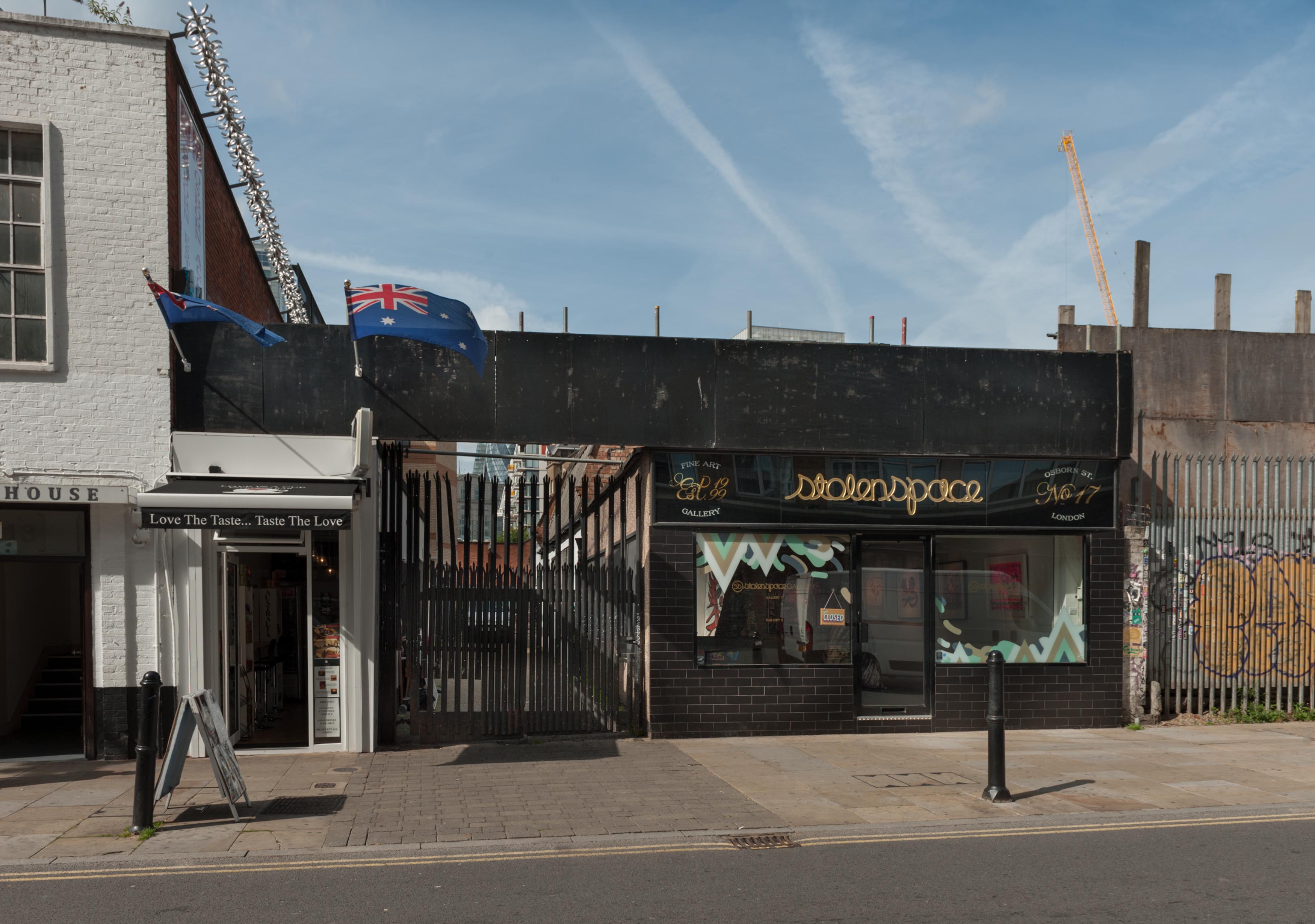
{
"id": 906,
"title": "Cafe at 15 Osborn Street, Stolen Space Gallery at 17, and rear entrance to Whitechapel Gallery",
"author": {
"id": 27,
"username": "DerekKendall"
},
"feature": {
"id": 395,
"type": "Feature",
"geometry": {
"type": "MultiPolygon",
"coordinates": [
[
[
[
-0.070007799873136,
51.51637973313135
],
[
-0.070147967634972,
51.516342205661495
],
[
-0.07014797927071,
51.51634220941502
],
[
-0.070164377260389,
51.51636340856783
],
[
-0.070019246506869,
51.51639433471956
],
[
-0.070007799873136,
51.51637973313135
]
]
]
]
},
"properties": {
"b_number": "15",
"b_name": "15 Osborn Street",
"street": "Osborn Street",
"address": "15 Osborn Street",
"feature_type": "WHITECHAPEL_BUILDING",
"count": 4,
"search_str": "15 Osborn Street"
},
"tags": []
},
"file": "https://surveyoflondon.org/media/uploads/features/395/SoL%20Whitechapel%20101439.jpg",
"description": "",
"copyright": true,
"created": "2017-09-26"
},
{
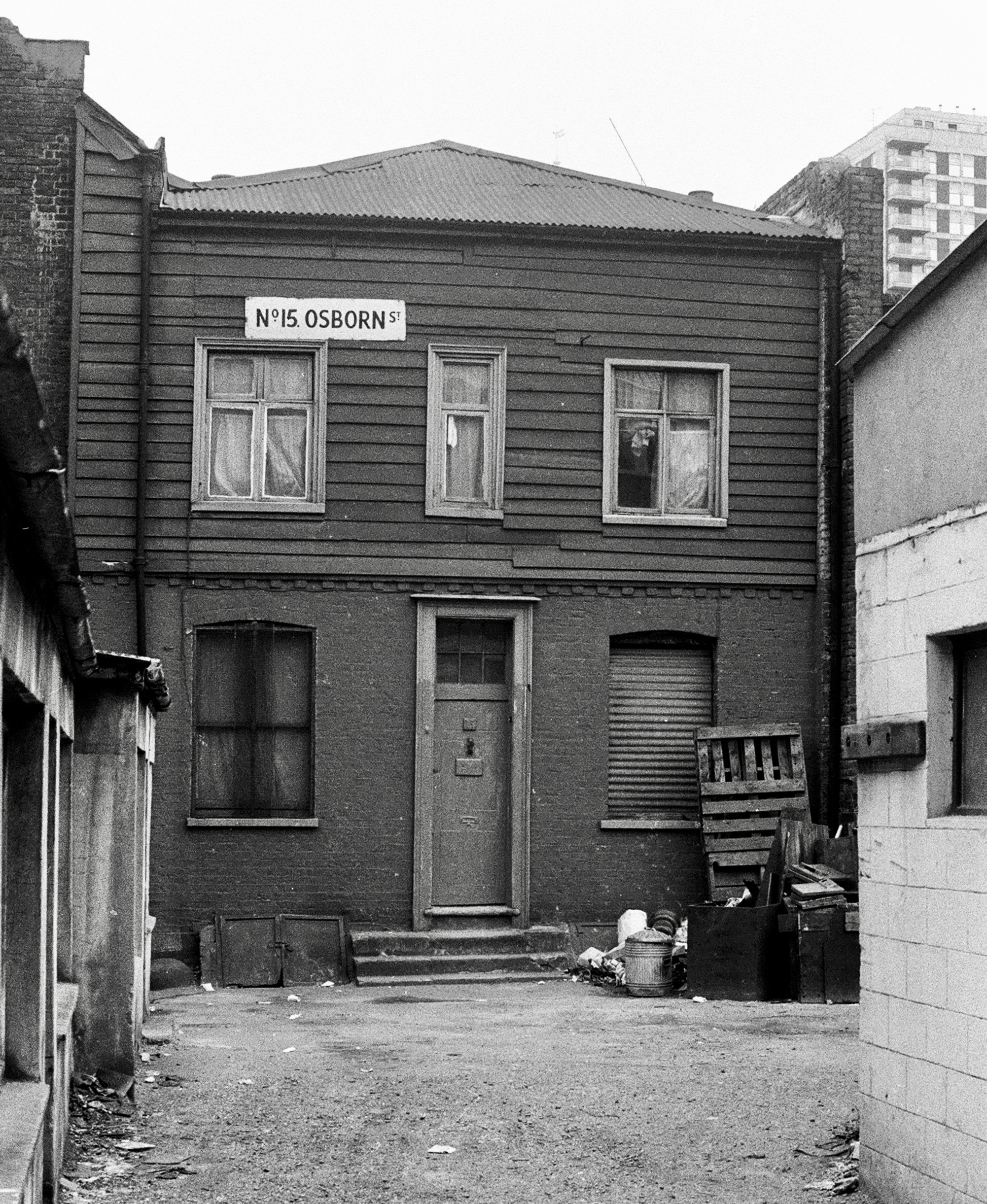
"id": 1443,
"title": "15 Osborn Street in the early 1970s (photograph by Dan Cruickshank)",
"author": {
"id": 268,
"username": "DanCruickshank"
},
"feature": {
"id": 395,
"type": "Feature",
"geometry": {
"type": "MultiPolygon",
"coordinates": [
[
[
[
-0.070007799873136,
51.51637973313135
],
[
-0.070147967634972,
51.516342205661495
],
[
-0.07014797927071,
51.51634220941502
],
[
-0.070164377260389,
51.51636340856783
],
[
-0.070019246506869,
51.51639433471956
],
[
-0.070007799873136,
51.51637973313135
]
]
]
]
},
"properties": {
"b_number": "15",
"b_name": "15 Osborn Street",
"street": "Osborn Street",
"address": "15 Osborn Street",
"feature_type": "WHITECHAPEL_BUILDING",
"count": 4,
"search_str": "15 Osborn Street"
},
"tags": []
},
"file": "https://surveyoflondon.org/media/uploads/features/395/00170002.jpg",
"description": "",
"copyright": true,
"created": "2018-11-16"
},
{
"id": 1397,
"title": "Wellclose Square's west side from the southeast around 1970 (photograph by Dan Cruickshank)",
"author": {
"id": 268,
"username": "DanCruickshank"
},
"feature": {
"id": 1395,
"type": "Feature",
"geometry": {
"type": "MultiPolygon",
"coordinates": [
[
[
[
-0.06734277723579,
51.5101408267643
],
[
-0.066910949136799,
51.510217428527255
],
[
-0.066795977317392,
51.50998414164829
],
[
-0.066852430868868,
51.50997111905564
],
[
-0.066833669508271,
51.50993011276243
],
[
-0.066709688224837,
51.50995364978504
],
[
-0.066597753455944,
51.50973669156566
],
[
-0.067039183086463,
51.50965327261519
],
[
-0.067087140764219,
51.50975289871178
],
[
-0.067115318173266,
51.50974754930748
],
[
-0.067147894414189,
51.50981436423853
],
[
-0.067117953240777,
51.50981735903555
],
[
-0.067140193085813,
51.50986423647582
],
[
-0.067209730295633,
51.509850266595954
],
[
-0.06734277723579,
51.5101408267643
]
]
]
]
},
"properties": {
"b_number": "",
"b_name": "Shapla Primary School",
"street": "Wellclose Square",
"address": "Shapla Primary School",
"feature_type": "WHITECHAPEL_BUILDING",
"count": 11,
"search_str": "Shapla Primary School"
},
"tags": []
},
"file": "https://surveyoflondon.org/media/uploads/features/1395/00360002.jpg",
"description": "",
"copyright": true,
"created": "2018-11-13"
},
{
"id": 1410,
"title": "39-41 Parfett Street in the early 1970s (photograph by Dan Cruickshank)",
"author": {
"id": 268,
"username": "DanCruickshank"
},
"feature": {
"id": 720,
"type": "Feature",
"geometry": {
"type": "MultiPolygon",
"coordinates": [
[
[
[
-0.064090765582255,
51.51655714605942
],
[
-0.063989792512913,
51.51656733818143
],
[
-0.063978118052322,
51.5165199590869
],
[
-0.064080307513605,
51.516510298685574
],
[
-0.064090765582255,
51.51655714605942
]
]
]
]
},
"properties": {
"b_number": "37",
"b_name": "",
"street": "Parfett Street",
"address": "37-53 Parfett Street",
"feature_type": "WHITECHAPEL_BUILDING",
"count": 1,
"search_str": "37-53 Parfett Street"
},
"tags": []
},
"file": "https://surveyoflondon.org/media/uploads/features/720/00250001.jpg",
"description": "",
"copyright": true,
"created": "2018-11-13"
},
{
"id": 1427,
"title": "Parish boundary markers on the west wall of former Church House, October 2018",
"author": {
"id": 27,
"username": "DerekKendall"
},
"feature": {
"id": 1398,
"type": "Feature",
"geometry": {
"type": "MultiPolygon",
"coordinates": [
[
[
[
-0.06617795318375,
51.51038731673777
],
[
-0.065912350489888,
51.51041084290673
],
[
-0.06588610031897,
51.51032669039412
],
[
-0.066162776826975,
51.51030567245064
],
[
-0.06617795318375,
51.51038731673777
]
]
]
]
},
"properties": {
"b_number": "",
"b_name": "St Paul's School Mission Room and Infant Nursery (later used as Church House)",
"street": "Wellclose Square",
"address": "St Paul's School Mission Room and Infant Nursery",
"feature_type": "WHITECHAPEL_BUILDING",
"count": 11,
"search_str": "St Paul's School Mission Room and Infant Nursery (later used as Church House)"
},
"tags": []
},
"file": "https://surveyoflondon.org/media/uploads/features/1398/SoL%20Whitechapel%20102310.jpg",
"description": "",
"copyright": true,
"created": "2018-11-13"
},
{
"id": 833,
"title": "Rear of 55 Mansell Street facing onto North Tenter Street, August 2017",
"author": {
"id": 27,
"username": "DerekKendall"
},
"feature": {
"id": 12,
"type": "Feature",
"geometry": {
"type": "MultiPolygon",
"coordinates": [
[
[
[
-0.072771908194299,
51.51314802689543
],
[
-0.072672904111031,
51.51288088167866
],
[
-0.072663505327936,
51.51283676501901
],
[
-0.073096734322255,
51.51280382799201
],
[
-0.073135259915787,
51.513021133041846
],
[
-0.073135748495546,
51.51304041775518
],
[
-0.073133186687222,
51.51305633882312
],
[
-0.07312249137467,
51.513071143888
],
[
-0.073106431130218,
51.51308373453761
],
[
-0.073085308063707,
51.513095528404556
],
[
-0.073055322823247,
51.513103498247965
],
[
-0.072771908194299,
51.51314802689543
]
]
]
]
},
"properties": {
"b_number": "55",
"b_name": "",
"street": "Mansell Street",
"address": "55 Mansell Street",
"feature_type": "WHITECHAPEL_BUILDING",
"count": 7,
"search_str": "55 Mansell Street"
},
"tags": []
},
"file": "https://surveyoflondon.org/media/uploads/features/12/SoL%20Whitechapel%20101565.jpg",
"description": "",
"copyright": true,
"created": "2017-09-12"
},
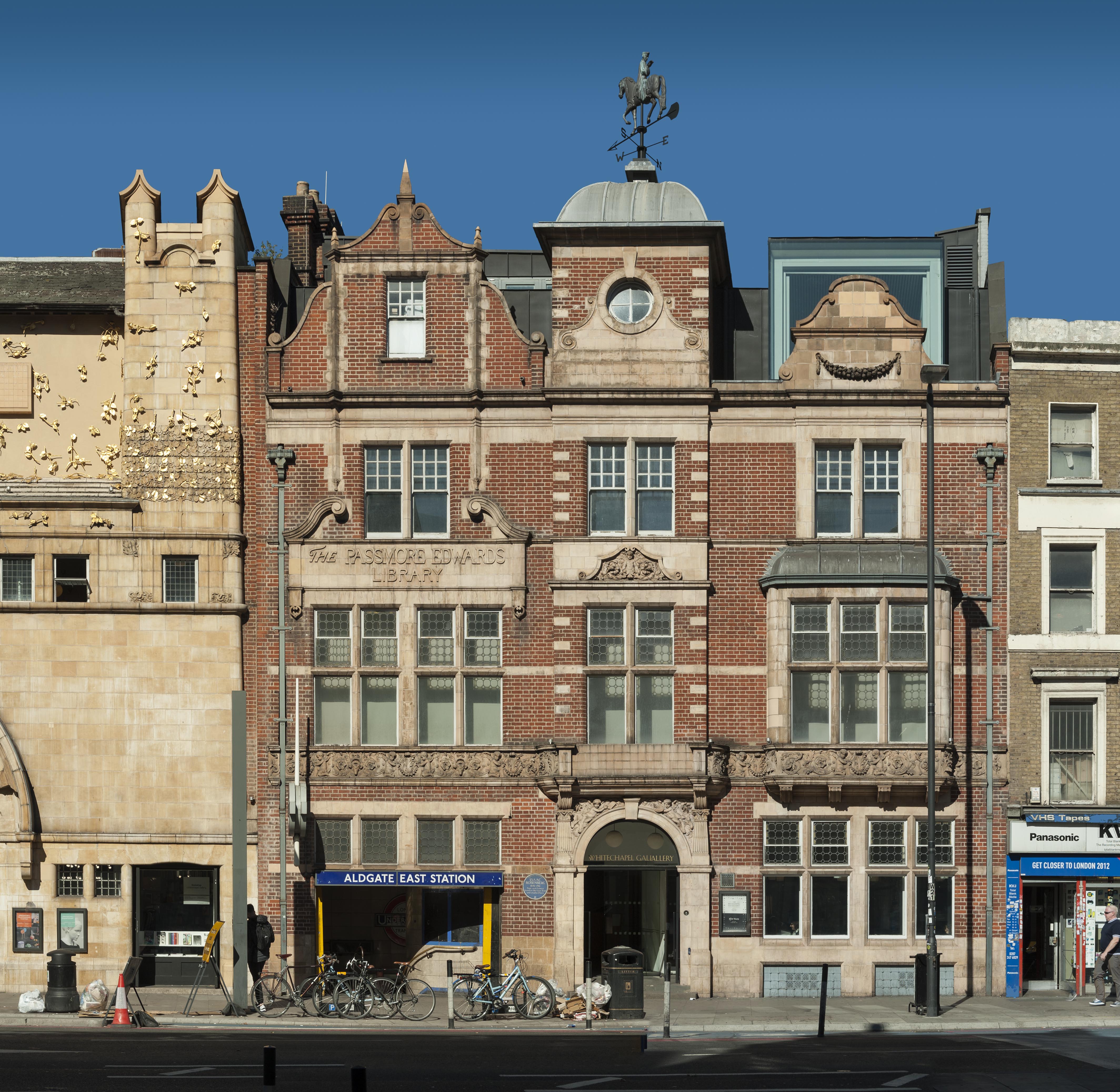
{
"id": 1368,
"title": "Former Passmore Edwards Library, Whitechapel High Street, in 2018",
"author": {
"id": 27,
"username": "DerekKendall"
},
"feature": {
"id": 396,
"type": "Feature",
"geometry": {
"type": "MultiPolygon",
"coordinates": [
[
[
[
-0.070191183413983,
51.515943931980686
],
[
-0.070444987924411,
51.51626873485329
],
[
-0.070444999065034,
51.516268747815374
],
[
-0.070444964983339,
51.51629786697601
],
[
-0.070200105619136,
51.51635712000048
],
[
-0.07018112057321,
51.516332236247315
],
[
-0.070199532030395,
51.51632669238655
],
[
-0.070111165185554,
51.516203386086495
],
[
-0.070156100285004,
51.516193027992266
],
[
-0.070080484659871,
51.51609939740674
],
[
-0.070055650302787,
51.51610727770941
],
[
-0.070049788081592,
51.51609931840464
],
[
-0.06997681153841,
51.51601296679346
],
[
-0.07015396692832,
51.51595688181036
],
[
-0.070153962516368,
51.5159568764167
],
[
-0.070191183413983,
51.515943931980686
]
]
]
]
},
"properties": {
"b_number": "77-82",
"b_name": "Whitechapel Gallery, former Whitechapel Library",
"street": "Whitechapel High Street",
"address": "77-82 Whitechapel High Street",
"feature_type": "WHITECHAPEL_BUILDING",
"count": 9,
"search_str": "Whitechapel Gallery, former Whitechapel Library"
},
"tags": [
"art",
"gallery"
]
},
"file": "https://surveyoflondon.org/media/uploads/features/396/SoL%20Whitechapel%20102226.jpg",
"description": "",
"copyright": true,
"created": "2018-10-10"
},
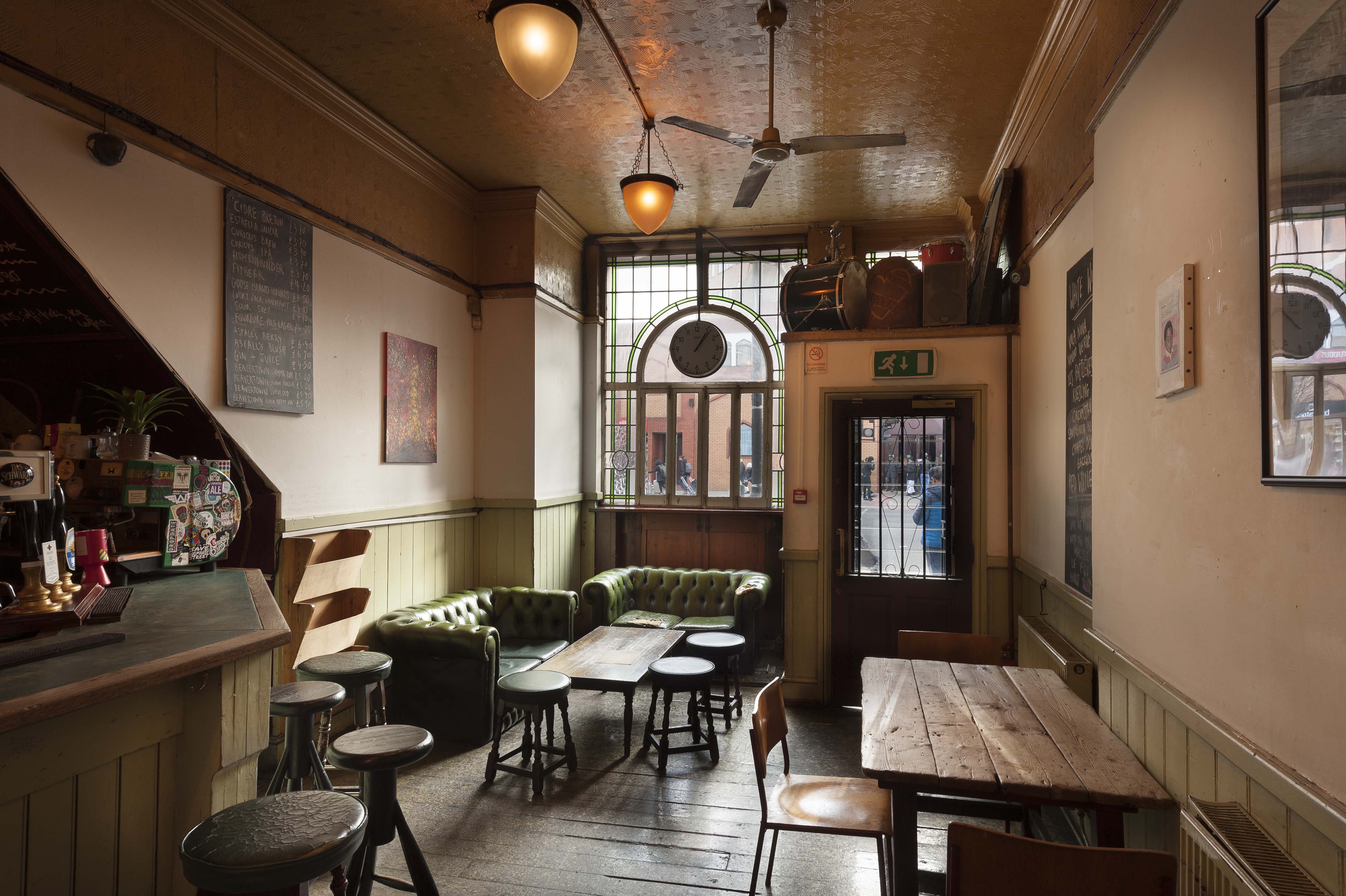
{
"id": 1202,
"title": "Bar Indo, 133 Whitechapel Road, interior from the north in early 2018",
"author": {
"id": 27,
"username": "DerekKendall"
},
"feature": {
"id": 437,
"type": "Feature",
"geometry": {
"type": "MultiPolygon",
"coordinates": [
[
[
[
-0.065795294340421,
51.51786534440968
],
[
-0.065746488420915,
51.517884201539125
],
[
-0.065653063212912,
51.517780108099075
],
[
-0.065725498229974,
51.51775563906246
],
[
-0.065813903711342,
51.517858154302715
],
[
-0.065795294340421,
51.51786534440968
]
]
]
]
},
"properties": {
"b_number": "133",
"b_name": "",
"street": "Whitechapel Road",
"address": "Bar Indo (formerly the Blue Anchor Public House), 133 Whitechapel Road",
"feature_type": "WHITECHAPEL_BUILDING",
"count": 10,
"search_str": "Bar Indo (formerly the Blue Anchor Public House), 133 Whitechapel Road"
},
"tags": []
},
"file": "https://surveyoflondon.org/media/uploads/features/437/SoL%20Whitechapel%20101854.jpg",
"description": "",
"copyright": true,
"created": "2018-03-05"
},
{
"id": 116,
"title": "Plaque for William IV ward, the Royal London Hospital",
"author": {
"id": 11,
"username": "amyspencer"
},
"feature": {
"id": 1063,
"type": "Feature",
"geometry": {
"type": "MultiPolygon",
"coordinates": [
[
[
[
-0.060845062076888,
51.517232461665024
],
[
-0.060858061981046,
51.517297370705585
],
[
-0.060852072355982,
51.51729777282787
],
[
-0.060850777279358,
51.517292038613824
],
[
-0.060836585058279,
51.51723251416014
],
[
-0.060769976187858,
51.51723703364601
],
[
-0.060780310614954,
51.51729938465229
],
[
-0.060851422100426,
51.517294893689865
],
[
-0.060852072355982,
51.51729777282787
],
[
-0.060780756007888,
51.51730231203111
],
[
-0.060433008250066,
51.51733065140396
],
[
-0.060436612097579,
51.51734759826428
],
[
-0.060301835648786,
51.517358754570346
],
[
-0.060301267692063,
51.517334324990614
],
[
-0.060276367898553,
51.517334550322296
],
[
-0.060277606963858,
51.51738784759974
],
[
-0.060240911793285,
51.51738817966408
],
[
-0.060239603561777,
51.51733190531689
],
[
-0.060233709433579,
51.517328890670484
],
[
-0.060224675865392,
51.517324270305814
],
[
-0.06015408706542,
51.51728816646581
],
[
-0.060146994469308,
51.51728968696465
],
[
-0.06013876083629,
51.51729145207641
],
[
-0.060122232338685,
51.51729197252953
],
[
-0.060108489079552,
51.51729240527865
],
[
-0.060095089193358,
51.517291262708895
],
[
-0.060083703724374,
51.51729029190144
],
[
-0.060071883086905,
51.51728644484157
],
[
-0.060064540680754,
51.517282150214506
],
[
-0.060058159323826,
51.51727491549124
],
[
-0.060055164331108,
51.517266693493994
],
[
-0.060055745593556,
51.51725957394812
],
[
-0.060059185744876,
51.51725076287493
],
[
-0.060064720251821,
51.51724301807266
],
[
-0.060073694330703,
51.517237266202336
],
[
-0.060084008477322,
51.51723065542268
],
[
-0.060097749600684,
51.51722563043536
],
[
-0.060110820839004,
51.517222752616206
],
[
-0.060124043459833,
51.517219841466186
],
[
-0.060189323543314,
51.51717326471942
],
[
-0.060230524081512,
51.51717027080275
],
[
-0.060225029840865,
51.51714083975863
],
[
-0.060123966783513,
51.51714818367497
],
[
-0.060109355845798,
51.51706991604146
],
[
-0.060759990305139,
51.51701795039293
],
[
-0.060811901066283,
51.51703520053784
],
[
-0.060831243559519,
51.51714443032851
],
[
-0.060823879564995,
51.51714494230656
],
[
-0.060806280310304,
51.517037602197114
],
[
-0.060758637924026,
51.51702144683871
],
[
-0.060293715895444,
51.517058443881275
],
[
-0.060305285997092,
51.51711767437194
],
[
-0.060380056450023,
51.51711283445328
],
[
-0.060382025685871,
51.5171233828903
],
[
-0.060648003222123,
51.51710939602032
],
[
-0.060636939828746,
51.517031131377244
],
[
-0.060684659737861,
51.51702734366158
],
[
-0.060703670471419,
51.51713214159525
],
[
-0.060746477467265,
51.51712961322092
],
[
-0.060749678508541,
51.517150266791134
],
[
-0.060831225907887,
51.517144845854745
],
[
-0.060845060388772,
51.51723245093664
],
[
-0.060845062076888,
51.517232461665024
]
]
]
]
},
"properties": {
"b_number": "",
"b_name": "",
"street": "Stepney Way",
"address": "St Philip's Church Library and the Royal London Museum",
"feature_type": "WHITECHAPEL_BUILDING",
"count": 52,
"search_str": "St Philip's Church Library and the Royal London Museum"
},
"tags": []
},
"file": "https://surveyoflondon.org/media/uploads/features/1063/IMG_8339.JPG",
"description": "",
"copyright": false,
"created": "2016-07-13"
},
{
"id": 117,
"title": "Plaque for the Richmond ward, the Royal London Hospital",
"author": {
"id": 11,
"username": "amyspencer"
},
"feature": {
"id": 1063,
"type": "Feature",
"geometry": {
"type": "MultiPolygon",
"coordinates": [
[
[
[
-0.060845062076888,
51.517232461665024
],
[
-0.060858061981046,
51.517297370705585
],
[
-0.060852072355982,
51.51729777282787
],
[
-0.060850777279358,
51.517292038613824
],
[
-0.060836585058279,
51.51723251416014
],
[
-0.060769976187858,
51.51723703364601
],
[
-0.060780310614954,
51.51729938465229
],
[
-0.060851422100426,
51.517294893689865
],
[
-0.060852072355982,
51.51729777282787
],
[
-0.060780756007888,
51.51730231203111
],
[
-0.060433008250066,
51.51733065140396
],
[
-0.060436612097579,
51.51734759826428
],
[
-0.060301835648786,
51.517358754570346
],
[
-0.060301267692063,
51.517334324990614
],
[
-0.060276367898553,
51.517334550322296
],
[
-0.060277606963858,
51.51738784759974
],
[
-0.060240911793285,
51.51738817966408
],
[
-0.060239603561777,
51.51733190531689
],
[
-0.060233709433579,
51.517328890670484
],
[
-0.060224675865392,
51.517324270305814
],
[
-0.06015408706542,
51.51728816646581
],
[
-0.060146994469308,
51.51728968696465
],
[
-0.06013876083629,
51.51729145207641
],
[
-0.060122232338685,
51.51729197252953
],
[
-0.060108489079552,
51.51729240527865
],
[
-0.060095089193358,
51.517291262708895
],
[
-0.060083703724374,
51.51729029190144
],
[
-0.060071883086905,
51.51728644484157
],
[
-0.060064540680754,
51.517282150214506
],
[
-0.060058159323826,
51.51727491549124
],
[
-0.060055164331108,
51.517266693493994
],
[
-0.060055745593556,
51.51725957394812
],
[
-0.060059185744876,
51.51725076287493
],
[
-0.060064720251821,
51.51724301807266
],
[
-0.060073694330703,
51.517237266202336
],
[
-0.060084008477322,
51.51723065542268
],
[
-0.060097749600684,
51.51722563043536
],
[
-0.060110820839004,
51.517222752616206
],
[
-0.060124043459833,
51.517219841466186
],
[
-0.060189323543314,
51.51717326471942
],
[
-0.060230524081512,
51.51717027080275
],
[
-0.060225029840865,
51.51714083975863
],
[
-0.060123966783513,
51.51714818367497
],
[
-0.060109355845798,
51.51706991604146
],
[
-0.060759990305139,
51.51701795039293
],
[
-0.060811901066283,
51.51703520053784
],
[
-0.060831243559519,
51.51714443032851
],
[
-0.060823879564995,
51.51714494230656
],
[
-0.060806280310304,
51.517037602197114
],
[
-0.060758637924026,
51.51702144683871
],
[
-0.060293715895444,
51.517058443881275
],
[
-0.060305285997092,
51.51711767437194
],
[
-0.060380056450023,
51.51711283445328
],
[
-0.060382025685871,
51.5171233828903
],
[
-0.060648003222123,
51.51710939602032
],
[
-0.060636939828746,
51.517031131377244
],
[
-0.060684659737861,
51.51702734366158
],
[
-0.060703670471419,
51.51713214159525
],
[
-0.060746477467265,
51.51712961322092
],
[
-0.060749678508541,
51.517150266791134
],
[
-0.060831225907887,
51.517144845854745
],
[
-0.060845060388772,
51.51723245093664
],
[
-0.060845062076888,
51.517232461665024
]
]
]
]
},
"properties": {
"b_number": "",
"b_name": "",
"street": "Stepney Way",
"address": "St Philip's Church Library and the Royal London Museum",
"feature_type": "WHITECHAPEL_BUILDING",
"count": 52,
"search_str": "St Philip's Church Library and the Royal London Museum"
},
"tags": []
},
"file": "https://surveyoflondon.org/media/uploads/features/1063/IMG_8342.JPG",
"description": "",
"copyright": false,
"created": "2016-07-13"
},
{
"id": 118,
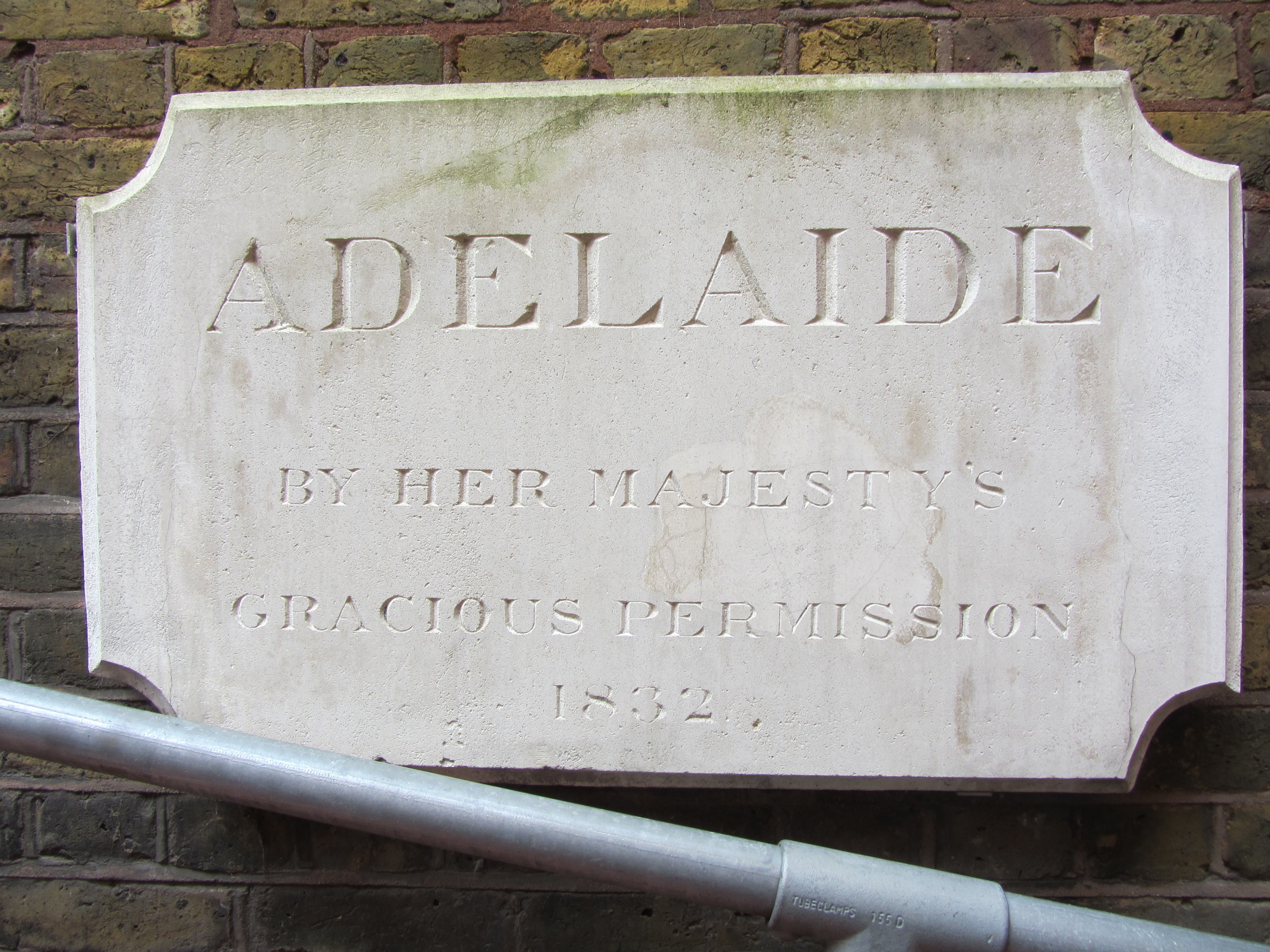
"title": "Plaque for Adelaide ward, the Royal London Hospital",
"author": {
"id": 11,
"username": "amyspencer"
},
"feature": {
"id": 1063,
"type": "Feature",
"geometry": {
"type": "MultiPolygon",
"coordinates": [
[
[
[
-0.060845062076888,
51.517232461665024
],
[
-0.060858061981046,
51.517297370705585
],
[
-0.060852072355982,
51.51729777282787
],
[
-0.060850777279358,
51.517292038613824
],
[
-0.060836585058279,
51.51723251416014
],
[
-0.060769976187858,
51.51723703364601
],
[
-0.060780310614954,
51.51729938465229
],
[
-0.060851422100426,
51.517294893689865
],
[
-0.060852072355982,
51.51729777282787
],
[
-0.060780756007888,
51.51730231203111
],
[
-0.060433008250066,
51.51733065140396
],
[
-0.060436612097579,
51.51734759826428
],
[
-0.060301835648786,
51.517358754570346
],
[
-0.060301267692063,
51.517334324990614
],
[
-0.060276367898553,
51.517334550322296
],
[
-0.060277606963858,
51.51738784759974
],
[
-0.060240911793285,
51.51738817966408
],
[
-0.060239603561777,
51.51733190531689
],
[
-0.060233709433579,
51.517328890670484
],
[
-0.060224675865392,
51.517324270305814
],
[
-0.06015408706542,
51.51728816646581
],
[
-0.060146994469308,
51.51728968696465
],
[
-0.06013876083629,
51.51729145207641
],
[
-0.060122232338685,
51.51729197252953
],
[
-0.060108489079552,
51.51729240527865
],
[
-0.060095089193358,
51.517291262708895
],
[
-0.060083703724374,
51.51729029190144
],
[
-0.060071883086905,
51.51728644484157
],
[
-0.060064540680754,
51.517282150214506
],
[
-0.060058159323826,
51.51727491549124
],
[
-0.060055164331108,
51.517266693493994
],
[
-0.060055745593556,
51.51725957394812
],
[
-0.060059185744876,
51.51725076287493
],
[
-0.060064720251821,
51.51724301807266
],
[
-0.060073694330703,
51.517237266202336
],
[
-0.060084008477322,
51.51723065542268
],
[
-0.060097749600684,
51.51722563043536
],
[
-0.060110820839004,
51.517222752616206
],
[
-0.060124043459833,
51.517219841466186
],
[
-0.060189323543314,
51.51717326471942
],
[
-0.060230524081512,
51.51717027080275
],
[
-0.060225029840865,
51.51714083975863
],
[
-0.060123966783513,
51.51714818367497
],
[
-0.060109355845798,
51.51706991604146
],
[
-0.060759990305139,
51.51701795039293
],
[
-0.060811901066283,
51.51703520053784
],
[
-0.060831243559519,
51.51714443032851
],
[
-0.060823879564995,
51.51714494230656
],
[
-0.060806280310304,
51.517037602197114
],
[
-0.060758637924026,
51.51702144683871
],
[
-0.060293715895444,
51.517058443881275
],
[
-0.060305285997092,
51.51711767437194
],
[
-0.060380056450023,
51.51711283445328
],
[
-0.060382025685871,
51.5171233828903
],
[
-0.060648003222123,
51.51710939602032
],
[
-0.060636939828746,
51.517031131377244
],
[
-0.060684659737861,
51.51702734366158
],
[
-0.060703670471419,
51.51713214159525
],
[
-0.060746477467265,
51.51712961322092
],
[
-0.060749678508541,
51.517150266791134
],
[
-0.060831225907887,
51.517144845854745
],
[
-0.060845060388772,
51.51723245093664
],
[
-0.060845062076888,
51.517232461665024
]
]
]
]
},
"properties": {
"b_number": "",
"b_name": "",
"street": "Stepney Way",
"address": "St Philip's Church Library and the Royal London Museum",
"feature_type": "WHITECHAPEL_BUILDING",
"count": 52,
"search_str": "St Philip's Church Library and the Royal London Museum"
},
"tags": []
},
"file": "https://surveyoflondon.org/media/uploads/features/1063/IMG_8344.JPG",
"description": "",
"copyright": false,
"created": "2016-07-13"
},
{
"id": 119,
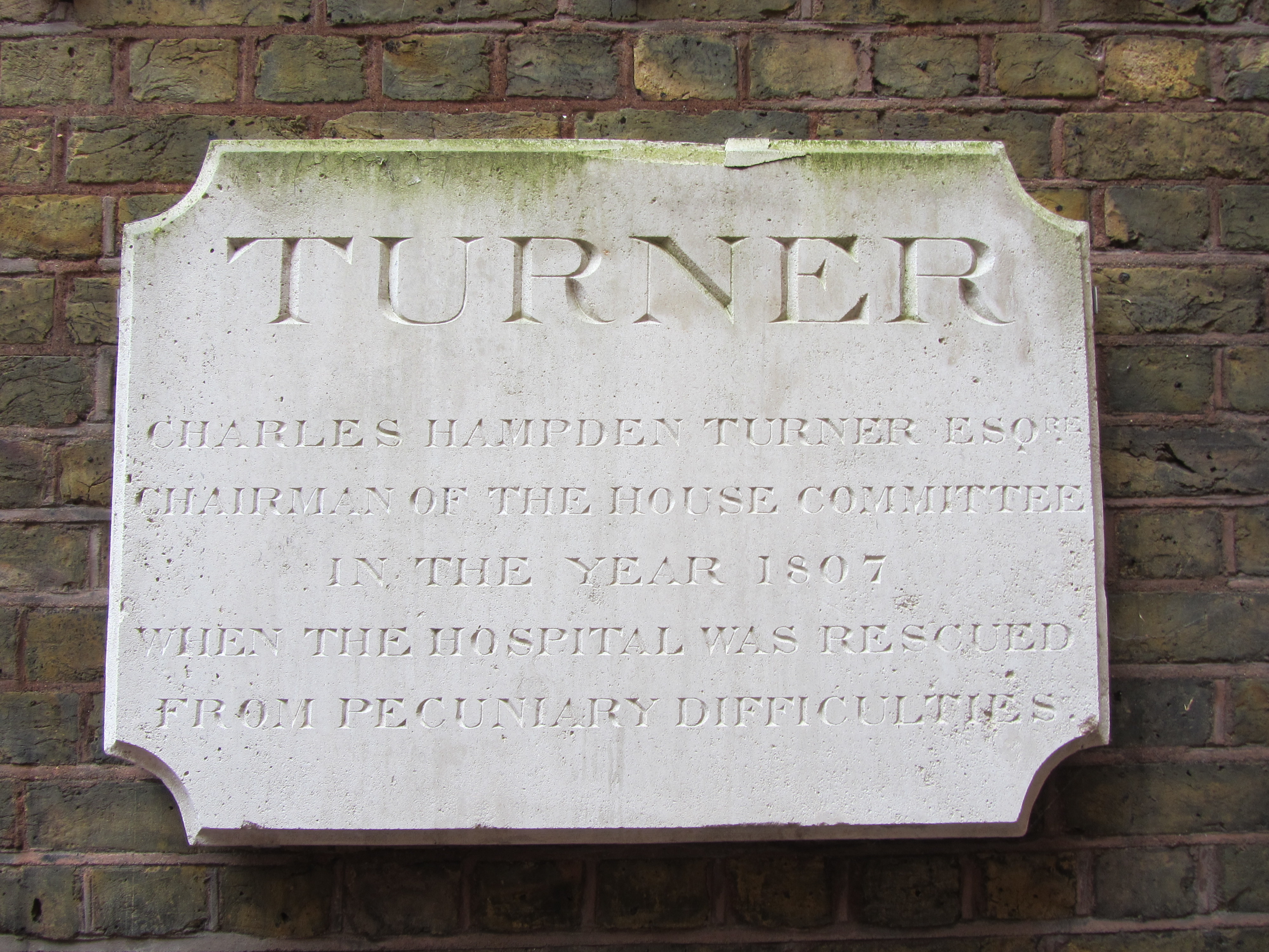
"title": "Plaque for Turner ward, the Royal London Hospital",
"author": {
"id": 11,
"username": "amyspencer"
},
"feature": {
"id": 1063,
"type": "Feature",
"geometry": {
"type": "MultiPolygon",
"coordinates": [
[
[
[
-0.060845062076888,
51.517232461665024
],
[
-0.060858061981046,
51.517297370705585
],
[
-0.060852072355982,
51.51729777282787
],
[
-0.060850777279358,
51.517292038613824
],
[
-0.060836585058279,
51.51723251416014
],
[
-0.060769976187858,
51.51723703364601
],
[
-0.060780310614954,
51.51729938465229
],
[
-0.060851422100426,
51.517294893689865
],
[
-0.060852072355982,
51.51729777282787
],
[
-0.060780756007888,
51.51730231203111
],
[
-0.060433008250066,
51.51733065140396
],
[
-0.060436612097579,
51.51734759826428
],
[
-0.060301835648786,
51.517358754570346
],
[
-0.060301267692063,
51.517334324990614
],
[
-0.060276367898553,
51.517334550322296
],
[
-0.060277606963858,
51.51738784759974
],
[
-0.060240911793285,
51.51738817966408
],
[
-0.060239603561777,
51.51733190531689
],
[
-0.060233709433579,
51.517328890670484
],
[
-0.060224675865392,
51.517324270305814
],
[
-0.06015408706542,
51.51728816646581
],
[
-0.060146994469308,
51.51728968696465
],
[
-0.06013876083629,
51.51729145207641
],
[
-0.060122232338685,
51.51729197252953
],
[
-0.060108489079552,
51.51729240527865
],
[
-0.060095089193358,
51.517291262708895
],
[
-0.060083703724374,
51.51729029190144
],
[
-0.060071883086905,
51.51728644484157
],
[
-0.060064540680754,
51.517282150214506
],
[
-0.060058159323826,
51.51727491549124
],
[
-0.060055164331108,
51.517266693493994
],
[
-0.060055745593556,
51.51725957394812
],
[
-0.060059185744876,
51.51725076287493
],
[
-0.060064720251821,
51.51724301807266
],
[
-0.060073694330703,
51.517237266202336
],
[
-0.060084008477322,
51.51723065542268
],
[
-0.060097749600684,
51.51722563043536
],
[
-0.060110820839004,
51.517222752616206
],
[
-0.060124043459833,
51.517219841466186
],
[
-0.060189323543314,
51.51717326471942
],
[
-0.060230524081512,
51.51717027080275
],
[
-0.060225029840865,
51.51714083975863
],
[
-0.060123966783513,
51.51714818367497
],
[
-0.060109355845798,
51.51706991604146
],
[
-0.060759990305139,
51.51701795039293
],
[
-0.060811901066283,
51.51703520053784
],
[
-0.060831243559519,
51.51714443032851
],
[
-0.060823879564995,
51.51714494230656
],
[
-0.060806280310304,
51.517037602197114
],
[
-0.060758637924026,
51.51702144683871
],
[
-0.060293715895444,
51.517058443881275
],
[
-0.060305285997092,
51.51711767437194
],
[
-0.060380056450023,
51.51711283445328
],
[
-0.060382025685871,
51.5171233828903
],
[
-0.060648003222123,
51.51710939602032
],
[
-0.060636939828746,
51.517031131377244
],
[
-0.060684659737861,
51.51702734366158
],
[
-0.060703670471419,
51.51713214159525
],
[
-0.060746477467265,
51.51712961322092
],
[
-0.060749678508541,
51.517150266791134
],
[
-0.060831225907887,
51.517144845854745
],
[
-0.060845060388772,
51.51723245093664
],
[
-0.060845062076888,
51.517232461665024
]
]
]
]
},
"properties": {
"b_number": "",
"b_name": "",
"street": "Stepney Way",
"address": "St Philip's Church Library and the Royal London Museum",
"feature_type": "WHITECHAPEL_BUILDING",
"count": 52,
"search_str": "St Philip's Church Library and the Royal London Museum"
},
"tags": []
},
"file": "https://surveyoflondon.org/media/uploads/features/1063/IMG_8345.JPG",
"description": "",
"copyright": false,
"created": "2016-07-13"
},
{
"id": 1388,
"title": "Site of Golubs",
"author": {
"id": 252,
"username": "mark3"
},
"feature": {
"id": 367,
"type": "Feature",
"geometry": {
"type": "MultiPolygon",
"coordinates": [
[
[
[
-0.070208788307576,
51.51671304296634
],
[
-0.070168698474152,
51.516642176924165
],
[
-0.070328598606914,
51.51659775292492
],
[
-0.070233638934197,
51.51643169469593
],
[
-0.07040277854452,
51.516389321672
],
[
-0.070427796874914,
51.516431704260015
],
[
-0.070531482057751,
51.51640852908396
],
[
-0.070495583452263,
51.516357381859585
],
[
-0.070624394552914,
51.51632218024373
],
[
-0.070775232954332,
51.51657790057318
],
[
-0.070374697197082,
51.51666834737638
],
[
-0.070349845537708,
51.516633207223116
],
[
-0.070314268571881,
51.51664150653588
],
[
-0.070338037036976,
51.51668116844782
],
[
-0.070208788307576,
51.51671304296634
]
]
]
]
},
"properties": {
"b_number": "19 to 23",
"b_name": "19 to 23 Osborn Street",
"street": "Osborn Street",
"address": "19-23 Osborn Street",
"feature_type": "WHITECHAPEL_BUILDING",
"count": 7,
"search_str": "19 to 23 Osborn Street"
},
"tags": []
},
"file": "https://surveyoflondon.org/media/uploads/features/367/Goplubs%202.jpg",
"description": "During the 1960s this was the site of Golubs the Jewish bookstore owned by the Kaye family",
"copyright": false,
"created": "2018-10-29"
},
{
"id": 1135,
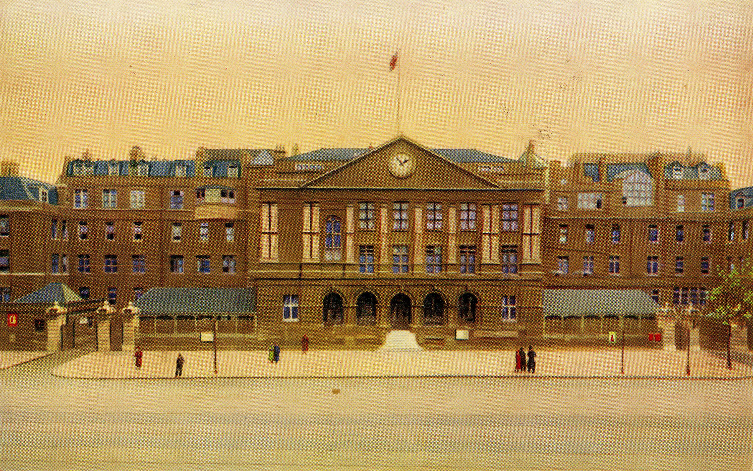
"title": "Front Block of the London Hospital in Whitechapel Road, from a twentieth-century postcard",
"author": {
"id": 2,
"username": "surveyoflondon"
},
"feature": {
"id": 1230,
"type": "Feature",
"geometry": {
"type": "MultiPolygon",
"coordinates": [
[
[
[
-0.06071898744648,
51.51847914149303
],
[
-0.060743358937849,
51.518529899918775
],
[
-0.060362148562617,
51.518618013153
],
[
-0.060404024127419,
51.51868851949335
],
[
-0.060356952993906,
51.51869974522794
],
[
-0.060399234817198,
51.51877056309998
],
[
-0.060042469531136,
51.5188530372297
],
[
-0.060006551123239,
51.51879256032364
],
[
-0.05997171006068,
51.51880061452483
],
[
-0.059923949522789,
51.51872019830377
],
[
-0.059602716389847,
51.51879445706454
],
[
-0.059631951693606,
51.51884368227145
],
[
-0.059135089420495,
51.51895853862307
],
[
-0.059031394281591,
51.51878393727422
],
[
-0.059075483581288,
51.51877374555587
],
[
-0.05923306113512,
51.518737319626666
],
[
-0.059261815633844,
51.518785736083466
],
[
-0.059453095208379,
51.51874286661955
],
[
-0.059437777096903,
51.51871791341666
],
[
-0.059509844762857,
51.518701022201654
],
[
-0.059472510825189,
51.51863713193043
],
[
-0.059893693119402,
51.51853565124978
],
[
-0.059897251108141,
51.51854177905041
],
[
-0.060406197614306,
51.5184267554985
],
[
-0.060388475186227,
51.51839623334771
],
[
-0.060226549751936,
51.51811735804654
],
[
-0.060490662909997,
51.51805857683586
],
[
-0.060500593175314,
51.518078725457706
],
[
-0.06071898744648,
51.51847914149303
]
]
]
]
},
"properties": {
"b_number": "",
"b_name": "Former Royal London Hospital",
"street": "",
"address": "Former Royal London Hospital ",
"feature_type": "WHITECHAPEL_BUILDING",
"count": 53,
"search_str": "Former Royal London Hospital"
},
"tags": []
},
"file": "https://surveyoflondon.org/media/uploads/features/1230/Front%20of%20the%20London%20Hospital006%20300dpi.jpg",
"description": "",
"copyright": false,
"created": "2018-02-14"
},
{
"id": 120,
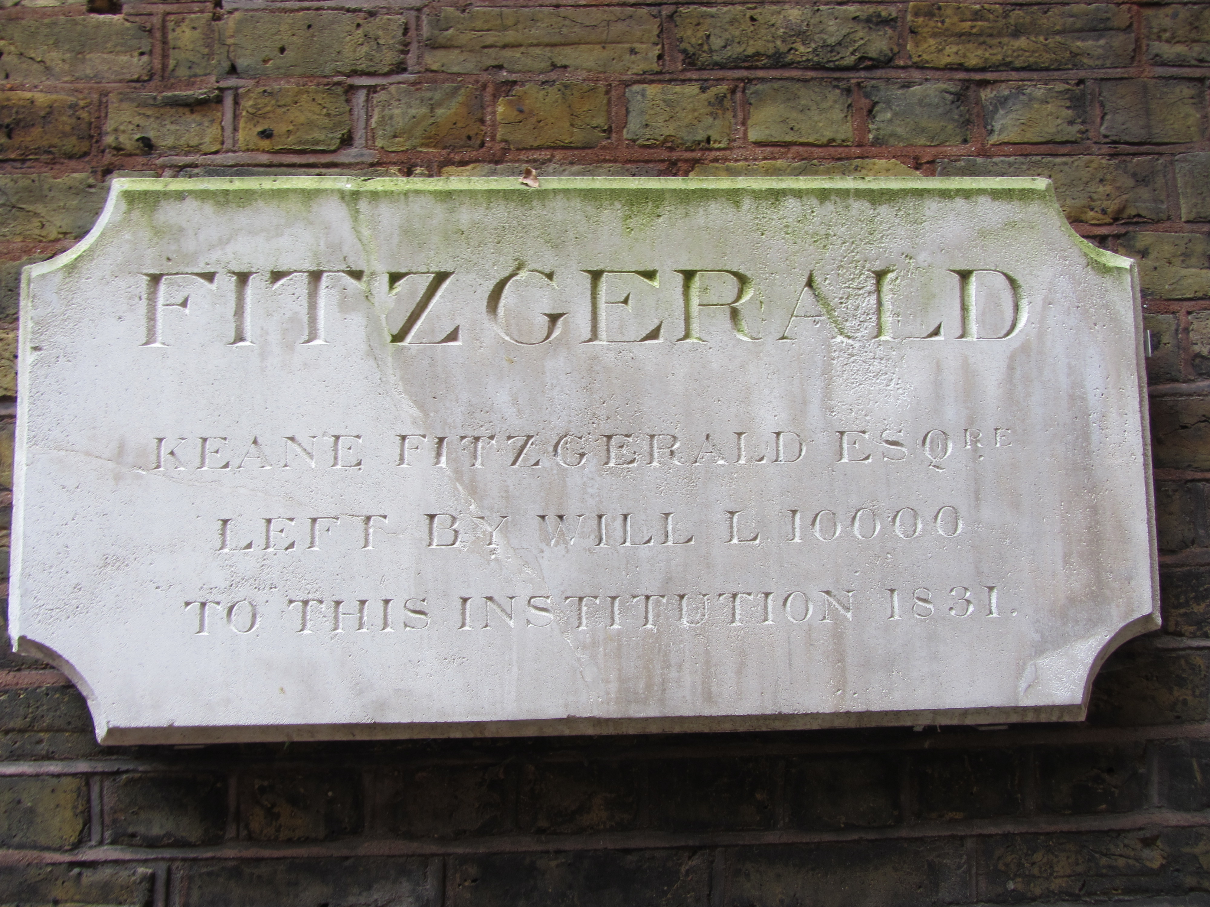
"title": "Plaque for Fitzgerald ward, the Royal London Hospital",
"author": {
"id": 11,
"username": "amyspencer"
},
"feature": {
"id": 1063,
"type": "Feature",
"geometry": {
"type": "MultiPolygon",
"coordinates": [
[
[
[
-0.060845062076888,
51.517232461665024
],
[
-0.060858061981046,
51.517297370705585
],
[
-0.060852072355982,
51.51729777282787
],
[
-0.060850777279358,
51.517292038613824
],
[
-0.060836585058279,
51.51723251416014
],
[
-0.060769976187858,
51.51723703364601
],
[
-0.060780310614954,
51.51729938465229
],
[
-0.060851422100426,
51.517294893689865
],
[
-0.060852072355982,
51.51729777282787
],
[
-0.060780756007888,
51.51730231203111
],
[
-0.060433008250066,
51.51733065140396
],
[
-0.060436612097579,
51.51734759826428
],
[
-0.060301835648786,
51.517358754570346
],
[
-0.060301267692063,
51.517334324990614
],
[
-0.060276367898553,
51.517334550322296
],
[
-0.060277606963858,
51.51738784759974
],
[
-0.060240911793285,
51.51738817966408
],
[
-0.060239603561777,
51.51733190531689
],
[
-0.060233709433579,
51.517328890670484
],
[
-0.060224675865392,
51.517324270305814
],
[
-0.06015408706542,
51.51728816646581
],
[
-0.060146994469308,
51.51728968696465
],
[
-0.06013876083629,
51.51729145207641
],
[
-0.060122232338685,
51.51729197252953
],
[
-0.060108489079552,
51.51729240527865
],
[
-0.060095089193358,
51.517291262708895
],
[
-0.060083703724374,
51.51729029190144
],
[
-0.060071883086905,
51.51728644484157
],
[
-0.060064540680754,
51.517282150214506
],
[
-0.060058159323826,
51.51727491549124
],
[
-0.060055164331108,
51.517266693493994
],
[
-0.060055745593556,
51.51725957394812
],
[
-0.060059185744876,
51.51725076287493
],
[
-0.060064720251821,
51.51724301807266
],
[
-0.060073694330703,
51.517237266202336
],
[
-0.060084008477322,
51.51723065542268
],
[
-0.060097749600684,
51.51722563043536
],
[
-0.060110820839004,
51.517222752616206
],
[
-0.060124043459833,
51.517219841466186
],
[
-0.060189323543314,
51.51717326471942
],
[
-0.060230524081512,
51.51717027080275
],
[
-0.060225029840865,
51.51714083975863
],
[
-0.060123966783513,
51.51714818367497
],
[
-0.060109355845798,
51.51706991604146
],
[
-0.060759990305139,
51.51701795039293
],
[
-0.060811901066283,
51.51703520053784
],
[
-0.060831243559519,
51.51714443032851
],
[
-0.060823879564995,
51.51714494230656
],
[
-0.060806280310304,
51.517037602197114
],
[
-0.060758637924026,
51.51702144683871
],
[
-0.060293715895444,
51.517058443881275
],
[
-0.060305285997092,
51.51711767437194
],
[
-0.060380056450023,
51.51711283445328
],
[
-0.060382025685871,
51.5171233828903
],
[
-0.060648003222123,
51.51710939602032
],
[
-0.060636939828746,
51.517031131377244
],
[
-0.060684659737861,
51.51702734366158
],
[
-0.060703670471419,
51.51713214159525
],
[
-0.060746477467265,
51.51712961322092
],
[
-0.060749678508541,
51.517150266791134
],
[
-0.060831225907887,
51.517144845854745
],
[
-0.060845060388772,
51.51723245093664
],
[
-0.060845062076888,
51.517232461665024
]
]
]
]
},
"properties": {
"b_number": "",
"b_name": "",
"street": "Stepney Way",
"address": "St Philip's Church Library and the Royal London Museum",
"feature_type": "WHITECHAPEL_BUILDING",
"count": 52,
"search_str": "St Philip's Church Library and the Royal London Museum"
},
"tags": []
},
"file": "https://surveyoflondon.org/media/uploads/features/1063/IMG_8346.JPG",
"description": "",
"copyright": false,
"created": "2016-07-13"
},
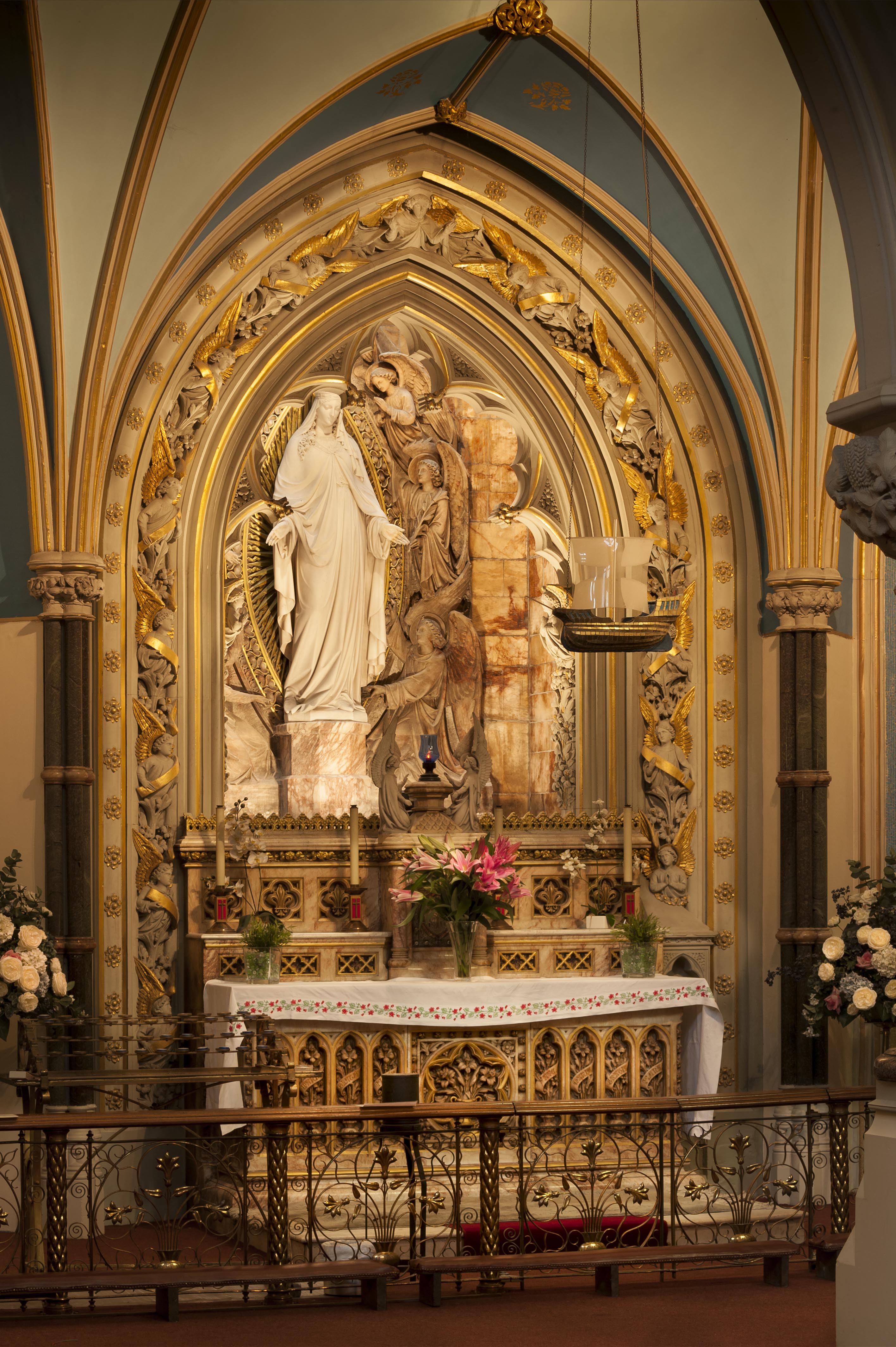
{
"id": 1576,
"title": "Shrine of Our Lady Graces",
"author": {
"id": 27,
"username": "DerekKendall"
},
"feature": {
"id": 1297,
"type": "Feature",
"geometry": {
"type": "MultiPolygon",
"coordinates": [
[
[
[
-0.071935648282288,
51.51134524228436
],
[
-0.071874729442993,
51.51121363108998
],
[
-0.071816144948546,
51.51122339231668
],
[
-0.071776588646252,
51.51120578254433
],
[
-0.071762024560661,
51.51117337877791
],
[
-0.07177649375904,
51.511141452410264
],
[
-0.071834141993347,
51.51113011940239
],
[
-0.071816329795347,
51.51108571239466
],
[
-0.072075019832766,
51.51104549229583
],
[
-0.072193056743033,
51.51130853787665
],
[
-0.072151551976597,
51.51131487321276
],
[
-0.072147312228886,
51.51132649961524
],
[
-0.072142333320455,
51.51133343542439
],
[
-0.072015847069243,
51.5113547481352
],
[
-0.071996105248008,
51.51135617797319
],
[
-0.071982278923131,
51.511350687404345
],
[
-0.071975230627282,
51.51134004502751
],
[
-0.071935648282288,
51.51134524228436
]
]
]
]
},
"properties": {
"b_number": "",
"b_name": "Roman Catholic Church of the English Martyrs",
"street": "Prescot Street",
"address": "Roman Catholic Church of the English Martyrs",
"feature_type": "WHITECHAPEL_BUILDING",
"count": 20,
"search_str": "Roman Catholic Church of the English Martyrs"
},
"tags": []
},
"file": "https://surveyoflondon.org/media/uploads/features/1297/SoL%20Whitechapel%20101913.jpg",
"description": "",
"copyright": false,
"created": "2019-04-03"
},
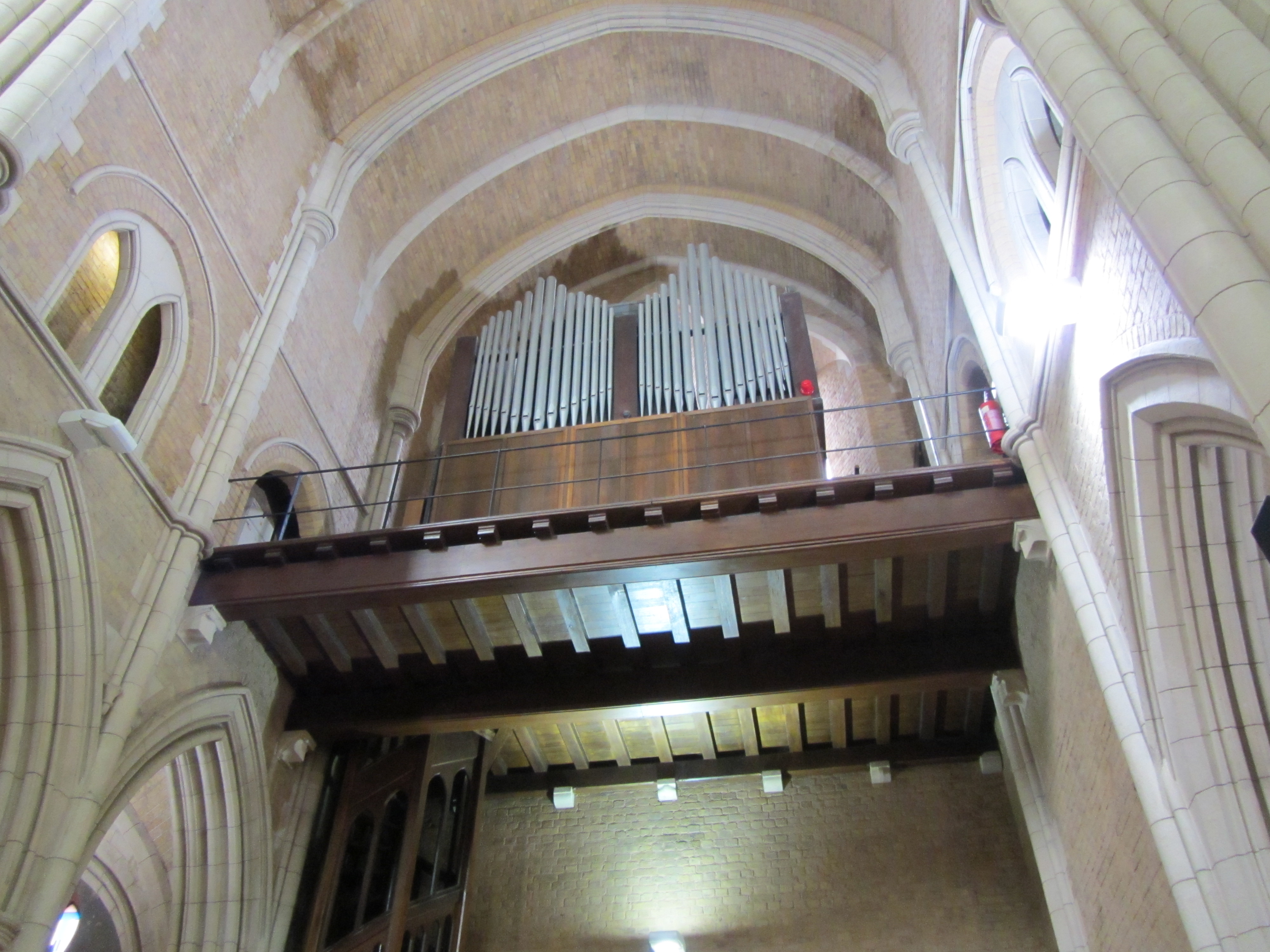
{
"id": 126,
"title": "View of the organ",
"author": {
"id": 11,
"username": "amyspencer"
},
"feature": {
"id": 1063,
"type": "Feature",
"geometry": {
"type": "MultiPolygon",
"coordinates": [
[
[
[
-0.060845062076888,
51.517232461665024
],
[
-0.060858061981046,
51.517297370705585
],
[
-0.060852072355982,
51.51729777282787
],
[
-0.060850777279358,
51.517292038613824
],
[
-0.060836585058279,
51.51723251416014
],
[
-0.060769976187858,
51.51723703364601
],
[
-0.060780310614954,
51.51729938465229
],
[
-0.060851422100426,
51.517294893689865
],
[
-0.060852072355982,
51.51729777282787
],
[
-0.060780756007888,
51.51730231203111
],
[
-0.060433008250066,
51.51733065140396
],
[
-0.060436612097579,
51.51734759826428
],
[
-0.060301835648786,
51.517358754570346
],
[
-0.060301267692063,
51.517334324990614
],
[
-0.060276367898553,
51.517334550322296
],
[
-0.060277606963858,
51.51738784759974
],
[
-0.060240911793285,
51.51738817966408
],
[
-0.060239603561777,
51.51733190531689
],
[
-0.060233709433579,
51.517328890670484
],
[
-0.060224675865392,
51.517324270305814
],
[
-0.06015408706542,
51.51728816646581
],
[
-0.060146994469308,
51.51728968696465
],
[
-0.06013876083629,
51.51729145207641
],
[
-0.060122232338685,
51.51729197252953
],
[
-0.060108489079552,
51.51729240527865
],
[
-0.060095089193358,
51.517291262708895
],
[
-0.060083703724374,
51.51729029190144
],
[
-0.060071883086905,
51.51728644484157
],
[
-0.060064540680754,
51.517282150214506
],
[
-0.060058159323826,
51.51727491549124
],
[
-0.060055164331108,
51.517266693493994
],
[
-0.060055745593556,
51.51725957394812
],
[
-0.060059185744876,
51.51725076287493
],
[
-0.060064720251821,
51.51724301807266
],
[
-0.060073694330703,
51.517237266202336
],
[
-0.060084008477322,
51.51723065542268
],
[
-0.060097749600684,
51.51722563043536
],
[
-0.060110820839004,
51.517222752616206
],
[
-0.060124043459833,
51.517219841466186
],
[
-0.060189323543314,
51.51717326471942
],
[
-0.060230524081512,
51.51717027080275
],
[
-0.060225029840865,
51.51714083975863
],
[
-0.060123966783513,
51.51714818367497
],
[
-0.060109355845798,
51.51706991604146
],
[
-0.060759990305139,
51.51701795039293
],
[
-0.060811901066283,
51.51703520053784
],
[
-0.060831243559519,
51.51714443032851
],
[
-0.060823879564995,
51.51714494230656
],
[
-0.060806280310304,
51.517037602197114
],
[
-0.060758637924026,
51.51702144683871
],
[
-0.060293715895444,
51.517058443881275
],
[
-0.060305285997092,
51.51711767437194
],
[
-0.060380056450023,
51.51711283445328
],
[
-0.060382025685871,
51.5171233828903
],
[
-0.060648003222123,
51.51710939602032
],
[
-0.060636939828746,
51.517031131377244
],
[
-0.060684659737861,
51.51702734366158
],
[
-0.060703670471419,
51.51713214159525
],
[
-0.060746477467265,
51.51712961322092
],
[
-0.060749678508541,
51.517150266791134
],
[
-0.060831225907887,
51.517144845854745
],
[
-0.060845060388772,
51.51723245093664
],
[
-0.060845062076888,
51.517232461665024
]
]
]
]
},
"properties": {
"b_number": "",
"b_name": "",
"street": "Stepney Way",
"address": "St Philip's Church Library and the Royal London Museum",
"feature_type": "WHITECHAPEL_BUILDING",
"count": 52,
"search_str": "St Philip's Church Library and the Royal London Museum"
},
"tags": []
},
"file": "https://surveyoflondon.org/media/uploads/features/1063/IMG_8380.JPG",
"description": "",
"copyright": false,
"created": "2016-07-13"
},
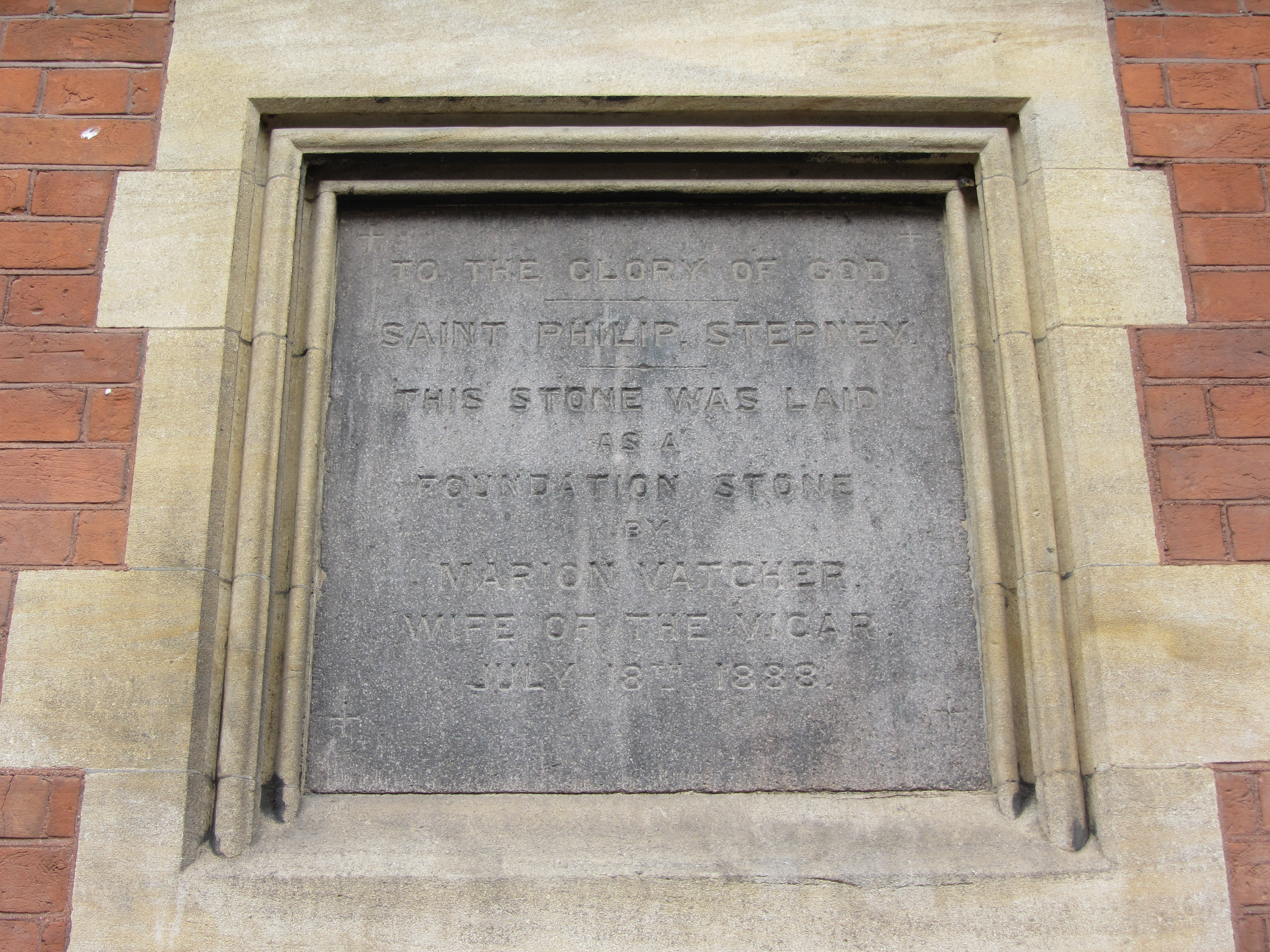
{
"id": 127,
"title": "Monument commemorating the laying of the foundation stone in 1888, on the west elevation",
"author": {
"id": 11,
"username": "amyspencer"
},
"feature": {
"id": 1063,
"type": "Feature",
"geometry": {
"type": "MultiPolygon",
"coordinates": [
[
[
[
-0.060845062076888,
51.517232461665024
],
[
-0.060858061981046,
51.517297370705585
],
[
-0.060852072355982,
51.51729777282787
],
[
-0.060850777279358,
51.517292038613824
],
[
-0.060836585058279,
51.51723251416014
],
[
-0.060769976187858,
51.51723703364601
],
[
-0.060780310614954,
51.51729938465229
],
[
-0.060851422100426,
51.517294893689865
],
[
-0.060852072355982,
51.51729777282787
],
[
-0.060780756007888,
51.51730231203111
],
[
-0.060433008250066,
51.51733065140396
],
[
-0.060436612097579,
51.51734759826428
],
[
-0.060301835648786,
51.517358754570346
],
[
-0.060301267692063,
51.517334324990614
],
[
-0.060276367898553,
51.517334550322296
],
[
-0.060277606963858,
51.51738784759974
],
[
-0.060240911793285,
51.51738817966408
],
[
-0.060239603561777,
51.51733190531689
],
[
-0.060233709433579,
51.517328890670484
],
[
-0.060224675865392,
51.517324270305814
],
[
-0.06015408706542,
51.51728816646581
],
[
-0.060146994469308,
51.51728968696465
],
[
-0.06013876083629,
51.51729145207641
],
[
-0.060122232338685,
51.51729197252953
],
[
-0.060108489079552,
51.51729240527865
],
[
-0.060095089193358,
51.517291262708895
],
[
-0.060083703724374,
51.51729029190144
],
[
-0.060071883086905,
51.51728644484157
],
[
-0.060064540680754,
51.517282150214506
],
[
-0.060058159323826,
51.51727491549124
],
[
-0.060055164331108,
51.517266693493994
],
[
-0.060055745593556,
51.51725957394812
],
[
-0.060059185744876,
51.51725076287493
],
[
-0.060064720251821,
51.51724301807266
],
[
-0.060073694330703,
51.517237266202336
],
[
-0.060084008477322,
51.51723065542268
],
[
-0.060097749600684,
51.51722563043536
],
[
-0.060110820839004,
51.517222752616206
],
[
-0.060124043459833,
51.517219841466186
],
[
-0.060189323543314,
51.51717326471942
],
[
-0.060230524081512,
51.51717027080275
],
[
-0.060225029840865,
51.51714083975863
],
[
-0.060123966783513,
51.51714818367497
],
[
-0.060109355845798,
51.51706991604146
],
[
-0.060759990305139,
51.51701795039293
],
[
-0.060811901066283,
51.51703520053784
],
[
-0.060831243559519,
51.51714443032851
],
[
-0.060823879564995,
51.51714494230656
],
[
-0.060806280310304,
51.517037602197114
],
[
-0.060758637924026,
51.51702144683871
],
[
-0.060293715895444,
51.517058443881275
],
[
-0.060305285997092,
51.51711767437194
],
[
-0.060380056450023,
51.51711283445328
],
[
-0.060382025685871,
51.5171233828903
],
[
-0.060648003222123,
51.51710939602032
],
[
-0.060636939828746,
51.517031131377244
],
[
-0.060684659737861,
51.51702734366158
],
[
-0.060703670471419,
51.51713214159525
],
[
-0.060746477467265,
51.51712961322092
],
[
-0.060749678508541,
51.517150266791134
],
[
-0.060831225907887,
51.517144845854745
],
[
-0.060845060388772,
51.51723245093664
],
[
-0.060845062076888,
51.517232461665024
]
]
]
]
},
"properties": {
"b_number": "",
"b_name": "",
"street": "Stepney Way",
"address": "St Philip's Church Library and the Royal London Museum",
"feature_type": "WHITECHAPEL_BUILDING",
"count": 52,
"search_str": "St Philip's Church Library and the Royal London Museum"
},
"tags": []
},
"file": "https://surveyoflondon.org/media/uploads/features/1063/IMG_8382.JPG",
"description": "",
"copyright": false,
"created": "2016-07-13"
}
]
}