HTTP 200 OK
Allow: GET, HEAD, OPTIONS
Content-Type: application/json
Vary: Accept
{
"count": 1747,
"next": "https://surveyoflondon.org/api/v1/images/?format=api&page=48",
"previous": "https://surveyoflondon.org/api/v1/images/?format=api&page=46",
"results": [
{
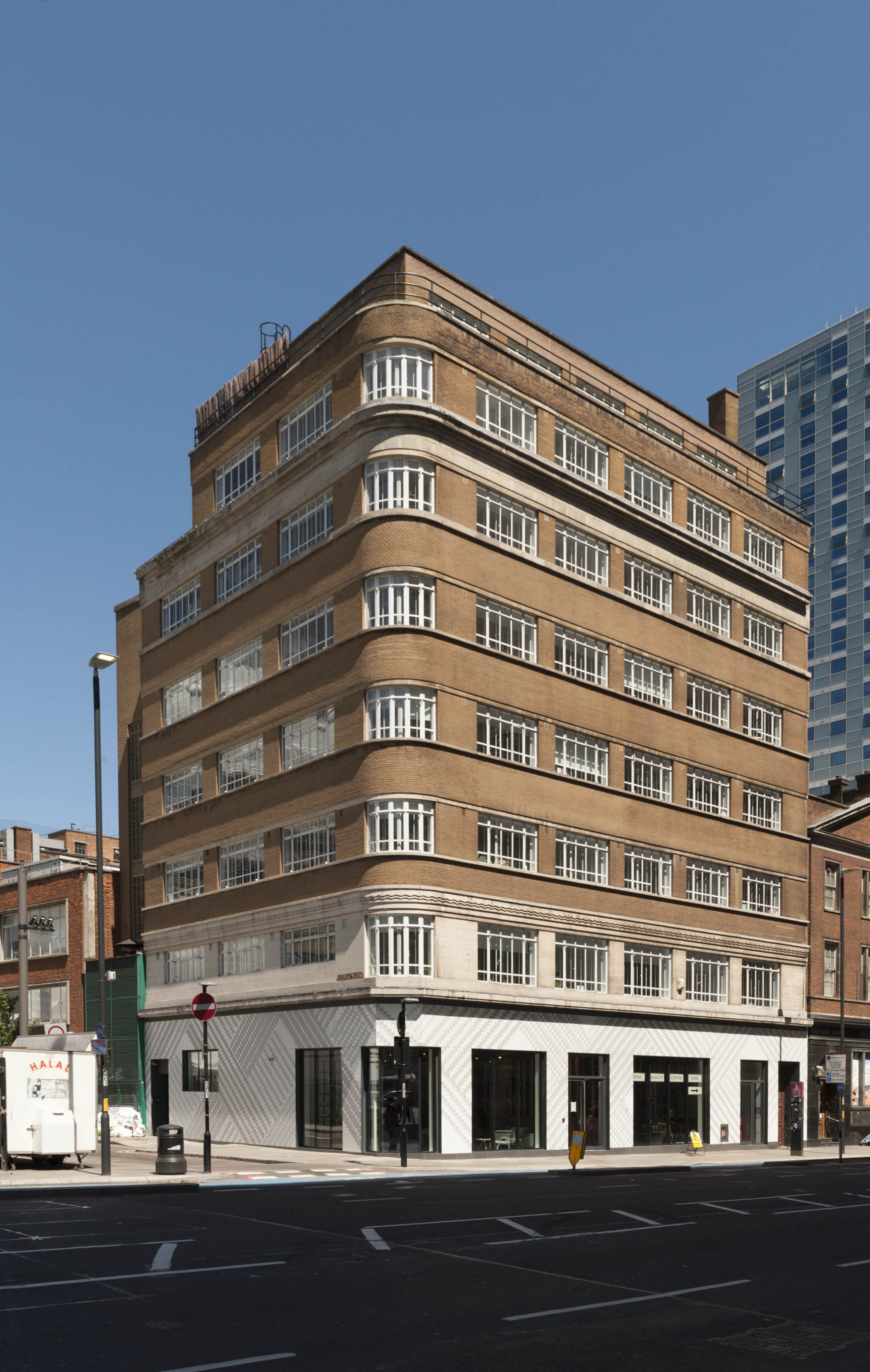
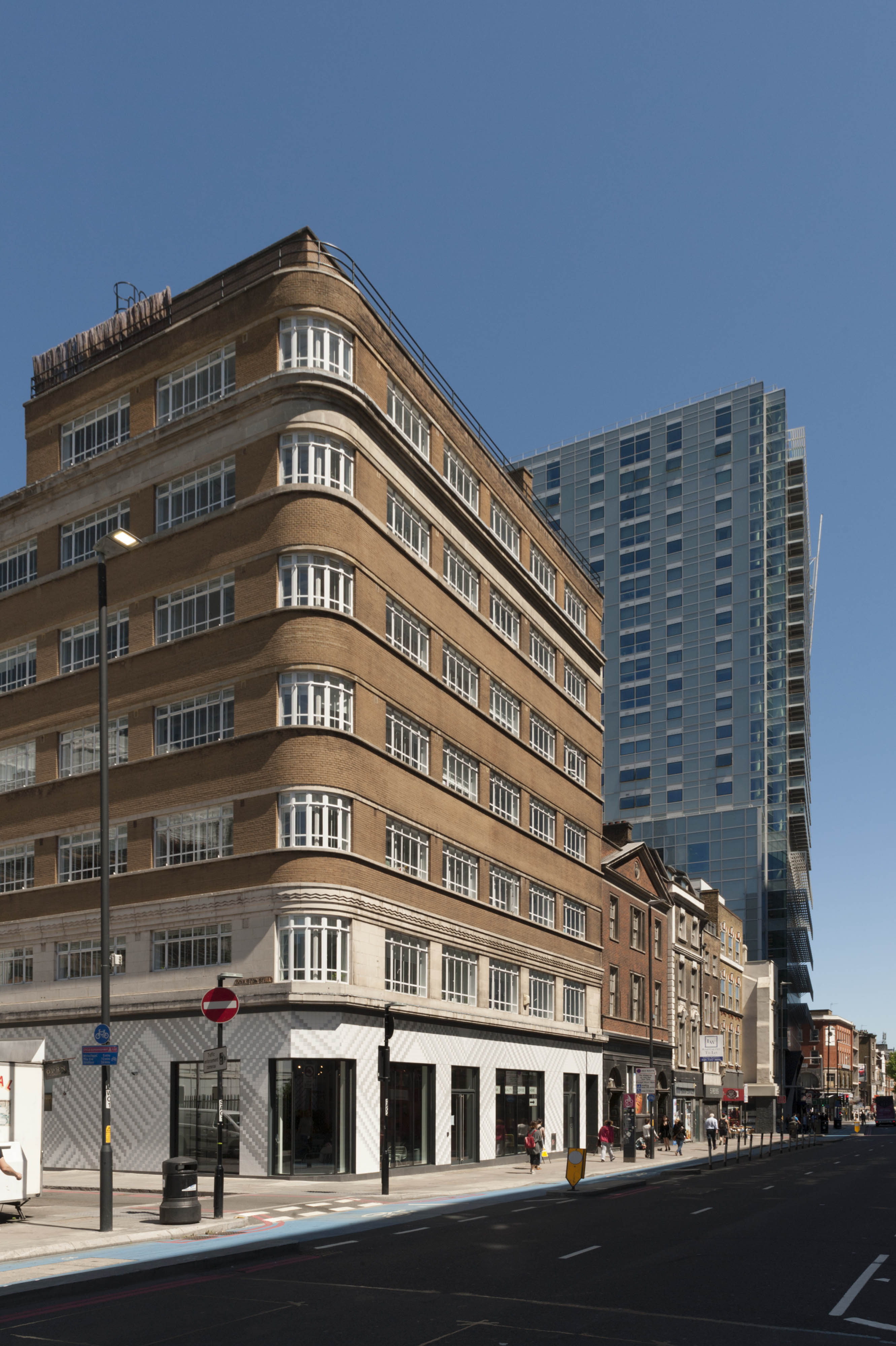
"id": 1634,
"title": "133-137 Whitechapel High Street in 2017",
"author": {
"id": 27,
"username": "DerekKendall"
},
"feature": {
"id": 351,
"type": "Feature",
"geometry": {
"type": "MultiPolygon",
"coordinates": [
[
[
[
-0.073588235846298,
51.51489498850525
],
[
-0.073446258652137,
51.51496358833765
],
[
-0.073581472314101,
51.515072529979086
],
[
-0.07346510291187,
51.515128756556074
],
[
-0.073279292817547,
51.51493636267788
],
[
-0.073219844288517,
51.51484164896286
],
[
-0.07349588362479,
51.51475394088715
],
[
-0.073588235846298,
51.51489498850525
]
]
]
]
},
"properties": {
"b_number": "133-137",
"b_name": "Oceanair House, 133-7 Whitechapel High Street, London E1 7PT",
"street": "Whitechapel High Street",
"address": "Oceanair House, 133-7 Whitechapel High Street, London E1 7PE",
"feature_type": "WHITECHAPEL_BUILDING",
"count": 7,
"search_str": "Oceanair House, 133-7 Whitechapel High Street, London E1 7PT"
},
"tags": []
},
"file": "https://surveyoflondon.org/media/uploads/features/351/SoL%20Whitechapel%20100959.jpg",
"description": "",
"copyright": true,
"created": "2019-07-05"
},
{
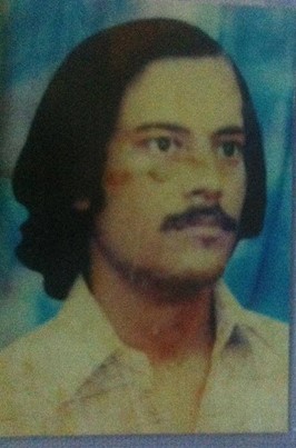
"id": 999,
"title": "Altab Ali",
"author": {
"id": 212,
"username": "AnsarAhmedUllah"
},
"feature": {
"id": 296,
"type": "Feature",
"geometry": {
"type": "MultiPolygon",
"coordinates": [
[
[
[
-0.069238538289603,
51.51610506120929
],
[
-0.069007097235987,
51.5162239535272
],
[
-0.068282200256798,
51.51654369745104
],
[
-0.068157401560378,
51.51641994527148
],
[
-0.067807959279103,
51.51600137496063
],
[
-0.068541180339468,
51.515783257348254
],
[
-0.068555919008956,
51.51580580160597
],
[
-0.068713893455475,
51.515872451567986
],
[
-0.068778503699218,
51.51586114158782
],
[
-0.068817146392177,
51.515922550138725
],
[
-0.068888047037903,
51.51596428315636
],
[
-0.069016085124709,
51.515921053627785
],
[
-0.069107698271647,
51.51601562404751
],
[
-0.069243279190738,
51.515974904669626
],
[
-0.069238538289603,
51.51610506120929
]
]
]
]
},
"properties": {
"b_number": "",
"b_name": "Altab Ali Park, including the site of the parish church of St Mary Matfelon",
"street": "Whitechapel Road",
"address": "Altab Ali Park",
"feature_type": "OPEN_SPACE",
"count": 32,
"search_str": "Altab Ali Park, including the site of the parish church of St Mary Matfelon"
},
"tags": []
},
"file": "https://surveyoflondon.org/media/uploads/features/1063/1901205_10202850032564818_7722403585570143515_n.jpg",
"description": "Portrait of Altab Ali\nCopyright Swadhinata Trust",
"copyright": true,
"created": "2018-01-06"
},
{
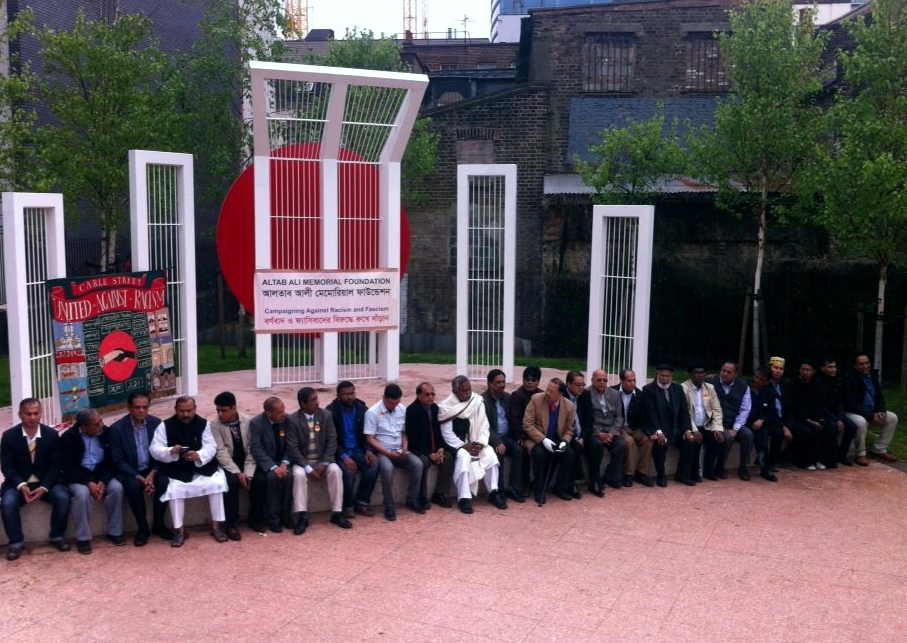
"id": 1000,
"title": "Altab Ali Day 2015",
"author": {
"id": 212,
"username": "AnsarAhmedUllah"
},
"feature": {
"id": 296,
"type": "Feature",
"geometry": {
"type": "MultiPolygon",
"coordinates": [
[
[
[
-0.069238538289603,
51.51610506120929
],
[
-0.069007097235987,
51.5162239535272
],
[
-0.068282200256798,
51.51654369745104
],
[
-0.068157401560378,
51.51641994527148
],
[
-0.067807959279103,
51.51600137496063
],
[
-0.068541180339468,
51.515783257348254
],
[
-0.068555919008956,
51.51580580160597
],
[
-0.068713893455475,
51.515872451567986
],
[
-0.068778503699218,
51.51586114158782
],
[
-0.068817146392177,
51.515922550138725
],
[
-0.068888047037903,
51.51596428315636
],
[
-0.069016085124709,
51.515921053627785
],
[
-0.069107698271647,
51.51601562404751
],
[
-0.069243279190738,
51.515974904669626
],
[
-0.069238538289603,
51.51610506120929
]
]
]
]
},
"properties": {
"b_number": "",
"b_name": "Altab Ali Park, including the site of the parish church of St Mary Matfelon",
"street": "Whitechapel Road",
"address": "Altab Ali Park",
"feature_type": "OPEN_SPACE",
"count": 32,
"search_str": "Altab Ali Park, including the site of the parish church of St Mary Matfelon"
},
"tags": []
},
"file": "https://surveyoflondon.org/media/uploads/features/296/AAD%204%20May%202015.jpg",
"description": "Altab Ali Park Copyright Ansar Ahmed Ullah",
"copyright": true,
"created": "2018-01-06"
},
{
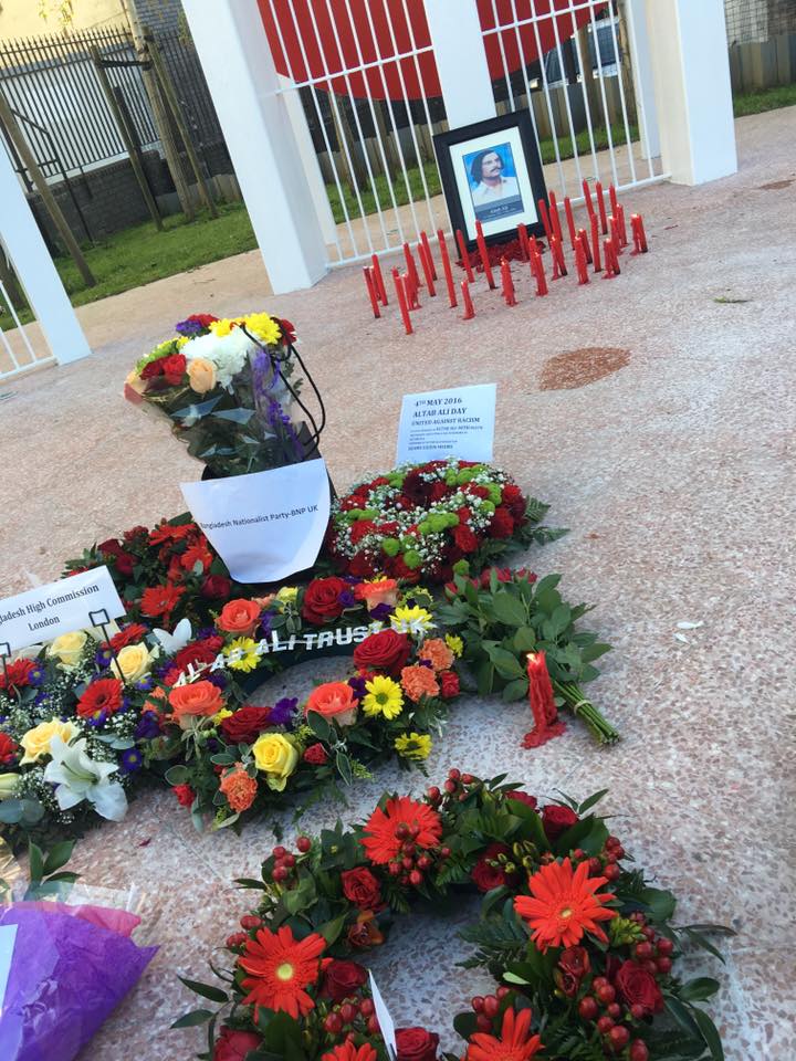
"id": 1002,
"title": "Altab Ali Day 2016",
"author": {
"id": 212,
"username": "AnsarAhmedUllah"
},
"feature": {
"id": 296,
"type": "Feature",
"geometry": {
"type": "MultiPolygon",
"coordinates": [
[
[
[
-0.069238538289603,
51.51610506120929
],
[
-0.069007097235987,
51.5162239535272
],
[
-0.068282200256798,
51.51654369745104
],
[
-0.068157401560378,
51.51641994527148
],
[
-0.067807959279103,
51.51600137496063
],
[
-0.068541180339468,
51.515783257348254
],
[
-0.068555919008956,
51.51580580160597
],
[
-0.068713893455475,
51.515872451567986
],
[
-0.068778503699218,
51.51586114158782
],
[
-0.068817146392177,
51.515922550138725
],
[
-0.068888047037903,
51.51596428315636
],
[
-0.069016085124709,
51.515921053627785
],
[
-0.069107698271647,
51.51601562404751
],
[
-0.069243279190738,
51.515974904669626
],
[
-0.069238538289603,
51.51610506120929
]
]
]
]
},
"properties": {
"b_number": "",
"b_name": "Altab Ali Park, including the site of the parish church of St Mary Matfelon",
"street": "Whitechapel Road",
"address": "Altab Ali Park",
"feature_type": "OPEN_SPACE",
"count": 32,
"search_str": "Altab Ali Park, including the site of the parish church of St Mary Matfelon"
},
"tags": []
},
"file": "https://surveyoflondon.org/media/uploads/features/296/AAD%202016%20Sinthia%20Arefin.jpg%203.jpg",
"description": "Altab Ali Park\nPhoto Sinthia Arefin",
"copyright": true,
"created": "2018-01-06"
},
{
"id": 1635,
"title": "133-137 Whitechapel High Street in 2017, looking east",
"author": {
"id": 27,
"username": "DerekKendall"
},
"feature": {
"id": 351,
"type": "Feature",
"geometry": {
"type": "MultiPolygon",
"coordinates": [
[
[
[
-0.073588235846298,
51.51489498850525
],
[
-0.073446258652137,
51.51496358833765
],
[
-0.073581472314101,
51.515072529979086
],
[
-0.07346510291187,
51.515128756556074
],
[
-0.073279292817547,
51.51493636267788
],
[
-0.073219844288517,
51.51484164896286
],
[
-0.07349588362479,
51.51475394088715
],
[
-0.073588235846298,
51.51489498850525
]
]
]
]
},
"properties": {
"b_number": "133-137",
"b_name": "Oceanair House, 133-7 Whitechapel High Street, London E1 7PT",
"street": "Whitechapel High Street",
"address": "Oceanair House, 133-7 Whitechapel High Street, London E1 7PE",
"feature_type": "WHITECHAPEL_BUILDING",
"count": 7,
"search_str": "Oceanair House, 133-7 Whitechapel High Street, London E1 7PT"
},
"tags": []
},
"file": "https://surveyoflondon.org/media/uploads/features/351/SoL%20Whitechapel%20100961.jpg",
"description": "",
"copyright": true,
"created": "2019-07-05"
},
{
"id": 702,
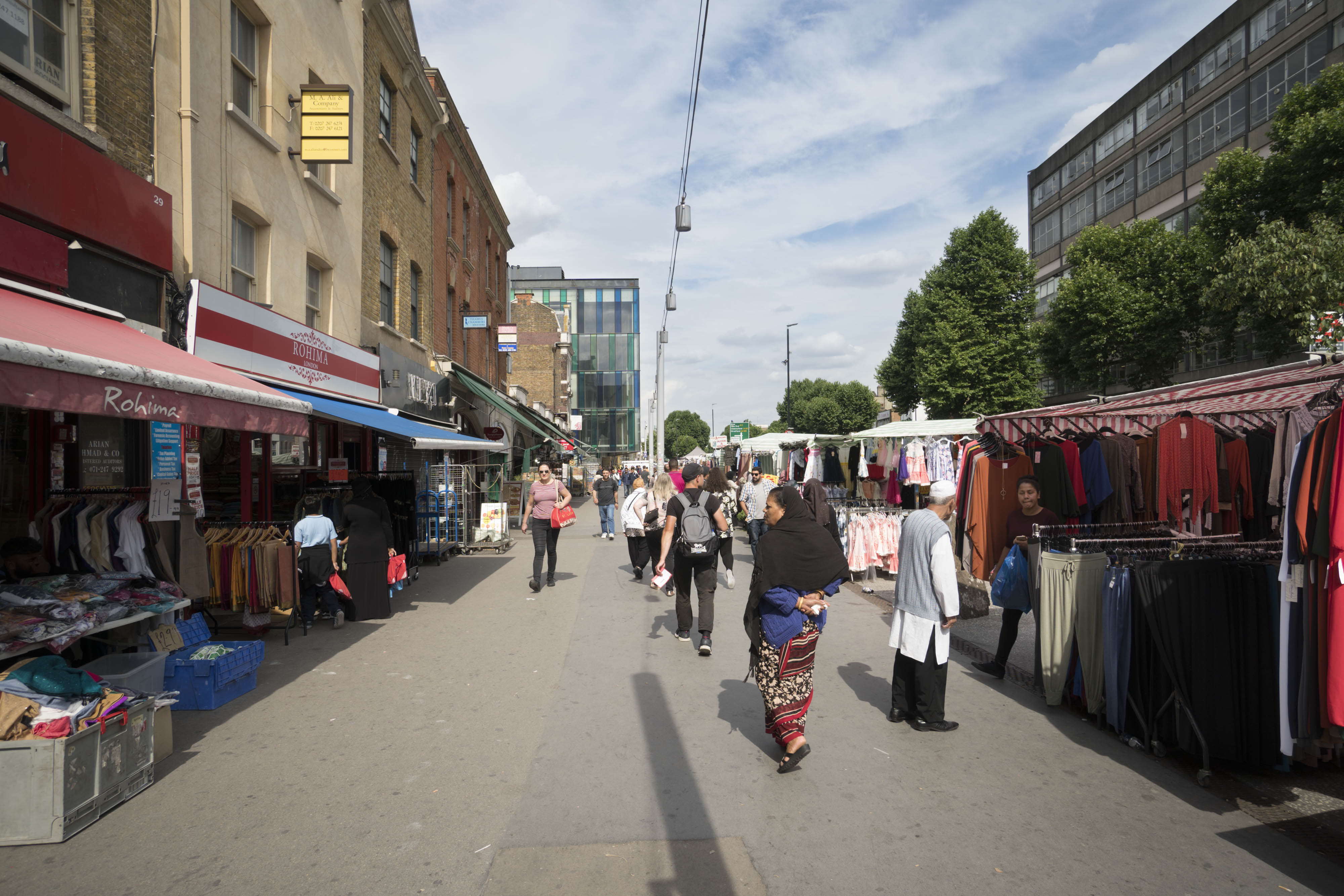
"title": "Whitechapel Market, view along pavement from the west in 2017",
"author": {
"id": 27,
"username": "DerekKendall"
},
"feature": {
"id": 1698,
"type": "Feature",
"geometry": {
"type": "MultiPolygon",
"coordinates": [
[
[
[
-0.062755898137067,
51.51857235799611
],
[
-0.058216859270041,
51.51960039921044
],
[
-0.058148482851386,
51.51948612756745
],
[
-0.061091729886378,
51.51883423152082
],
[
-0.061616259170046,
51.51871888429734
],
[
-0.06270768344222,
51.51847582817058
],
[
-0.062755898137067,
51.51857235799611
]
]
]
]
},
"properties": {
"b_number": "",
"b_name": "",
"street": "Whitechapel Road",
"address": "Whitechapel Market, Whitechapel Road",
"feature_type": "PLACE",
"count": 48,
"search_str": "Whitechapel Market, Whitechapel Road"
},
"tags": []
},
"file": "https://surveyoflondon.org/media/uploads/features/1698/SoL%20Whitechapel%20101221.jpg",
"description": "",
"copyright": true,
"created": "2017-07-28"
},
{
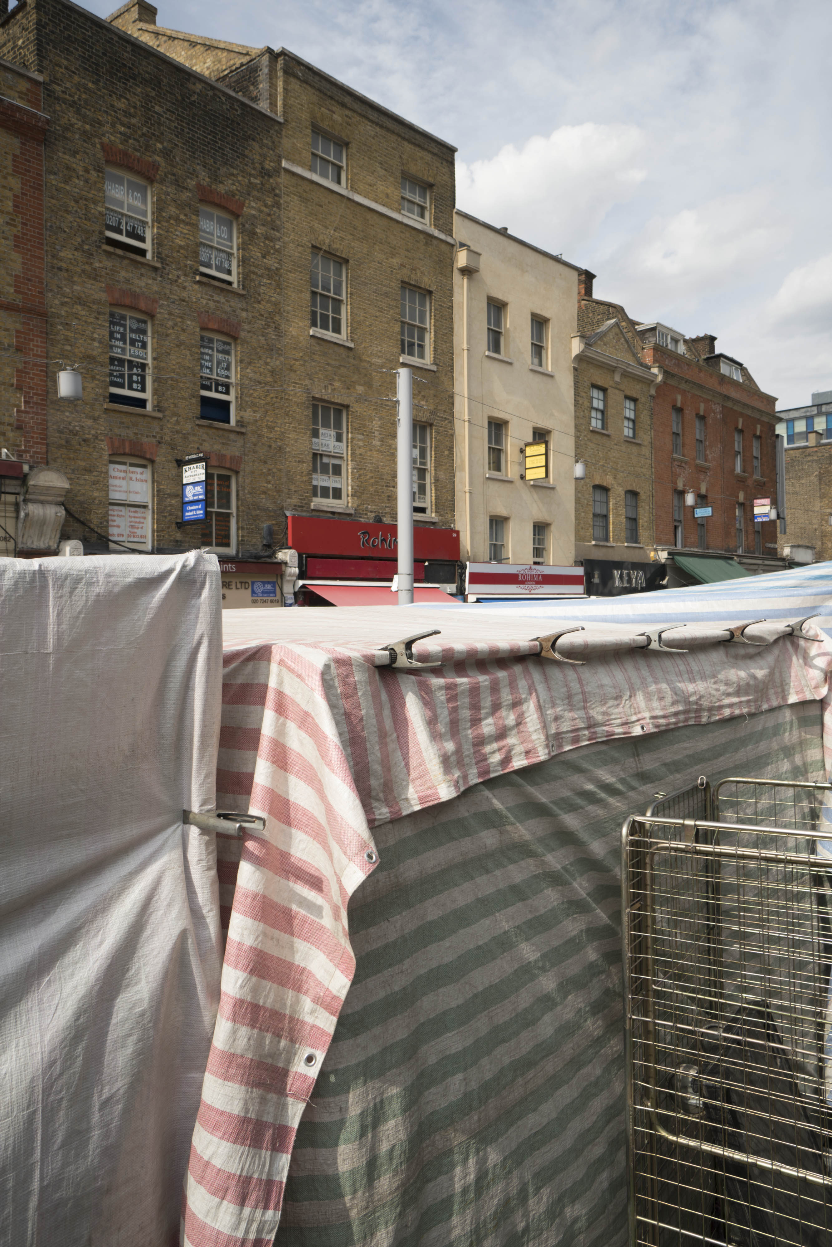
"id": 703,
"title": "Whitechapel Market, view across backs of stalls in 2017",
"author": {
"id": 27,
"username": "DerekKendall"
},
"feature": {
"id": 1698,
"type": "Feature",
"geometry": {
"type": "MultiPolygon",
"coordinates": [
[
[
[
-0.062755898137067,
51.51857235799611
],
[
-0.058216859270041,
51.51960039921044
],
[
-0.058148482851386,
51.51948612756745
],
[
-0.061091729886378,
51.51883423152082
],
[
-0.061616259170046,
51.51871888429734
],
[
-0.06270768344222,
51.51847582817058
],
[
-0.062755898137067,
51.51857235799611
]
]
]
]
},
"properties": {
"b_number": "",
"b_name": "",
"street": "Whitechapel Road",
"address": "Whitechapel Market, Whitechapel Road",
"feature_type": "PLACE",
"count": 48,
"search_str": "Whitechapel Market, Whitechapel Road"
},
"tags": []
},
"file": "https://surveyoflondon.org/media/uploads/features/1698/SoL%20Whitechapel%20101222.jpg",
"description": "",
"copyright": true,
"created": "2017-07-28"
},
{
"id": 1037,
"title": "Whitechapel Market in December 2017",
"author": {
"id": 27,
"username": "DerekKendall"
},
"feature": {
"id": 1698,
"type": "Feature",
"geometry": {
"type": "MultiPolygon",
"coordinates": [
[
[
[
-0.062755898137067,
51.51857235799611
],
[
-0.058216859270041,
51.51960039921044
],
[
-0.058148482851386,
51.51948612756745
],
[
-0.061091729886378,
51.51883423152082
],
[
-0.061616259170046,
51.51871888429734
],
[
-0.06270768344222,
51.51847582817058
],
[
-0.062755898137067,
51.51857235799611
]
]
]
]
},
"properties": {
"b_number": "",
"b_name": "",
"street": "Whitechapel Road",
"address": "Whitechapel Market, Whitechapel Road",
"feature_type": "PLACE",
"count": 48,
"search_str": "Whitechapel Market, Whitechapel Road"
},
"tags": []
},
"file": "https://surveyoflondon.org/media/uploads/features/1698/SoL%20Whitechapel%20101722%20(1).jpg",
"description": "",
"copyright": true,
"created": "2018-01-10"
},
{
"id": 646,
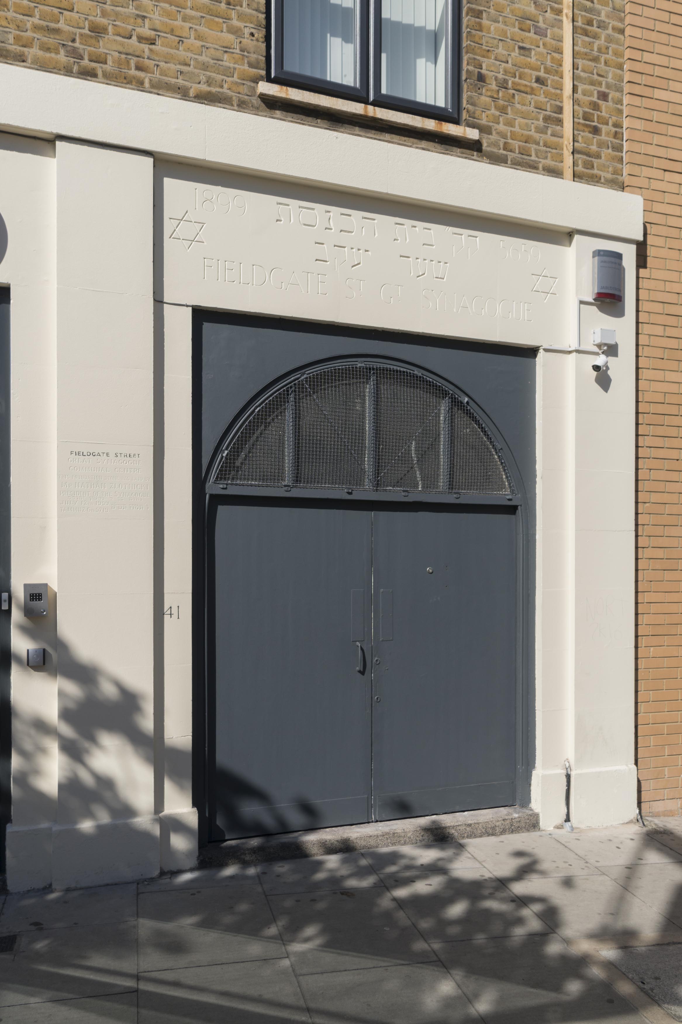
"title": "Former Fieldgate Street Great Synagogue, April 2017",
"author": {
"id": 27,
"username": "DerekKendall"
},
"feature": {
"id": 837,
"type": "Feature",
"geometry": {
"type": "MultiPolygon",
"coordinates": [
[
[
[
-0.065533721939634,
51.51703253016194
],
[
-0.065646714781391,
51.517231659604
],
[
-0.065502188596495,
51.517268409638795
],
[
-0.065426771021086,
51.51704234602821
],
[
-0.065533721939634,
51.51703253016194
]
]
]
]
},
"properties": {
"b_number": "41",
"b_name": "Former Fieldgate Street Great Synagogue",
"street": "Fieldgate Street",
"address": "Former Fieldgate Street Great Synagogue, 41 Fieldgate Street",
"feature_type": "WHITECHAPEL_BUILDING",
"count": 16,
"search_str": "Former Fieldgate Street Great Synagogue"
},
"tags": [
"synagogue"
]
},
"file": "https://surveyoflondon.org/media/uploads/features/837/SoL%20Whitechapel%20100784.jpg",
"description": "",
"copyright": true,
"created": "2017-05-03"
},
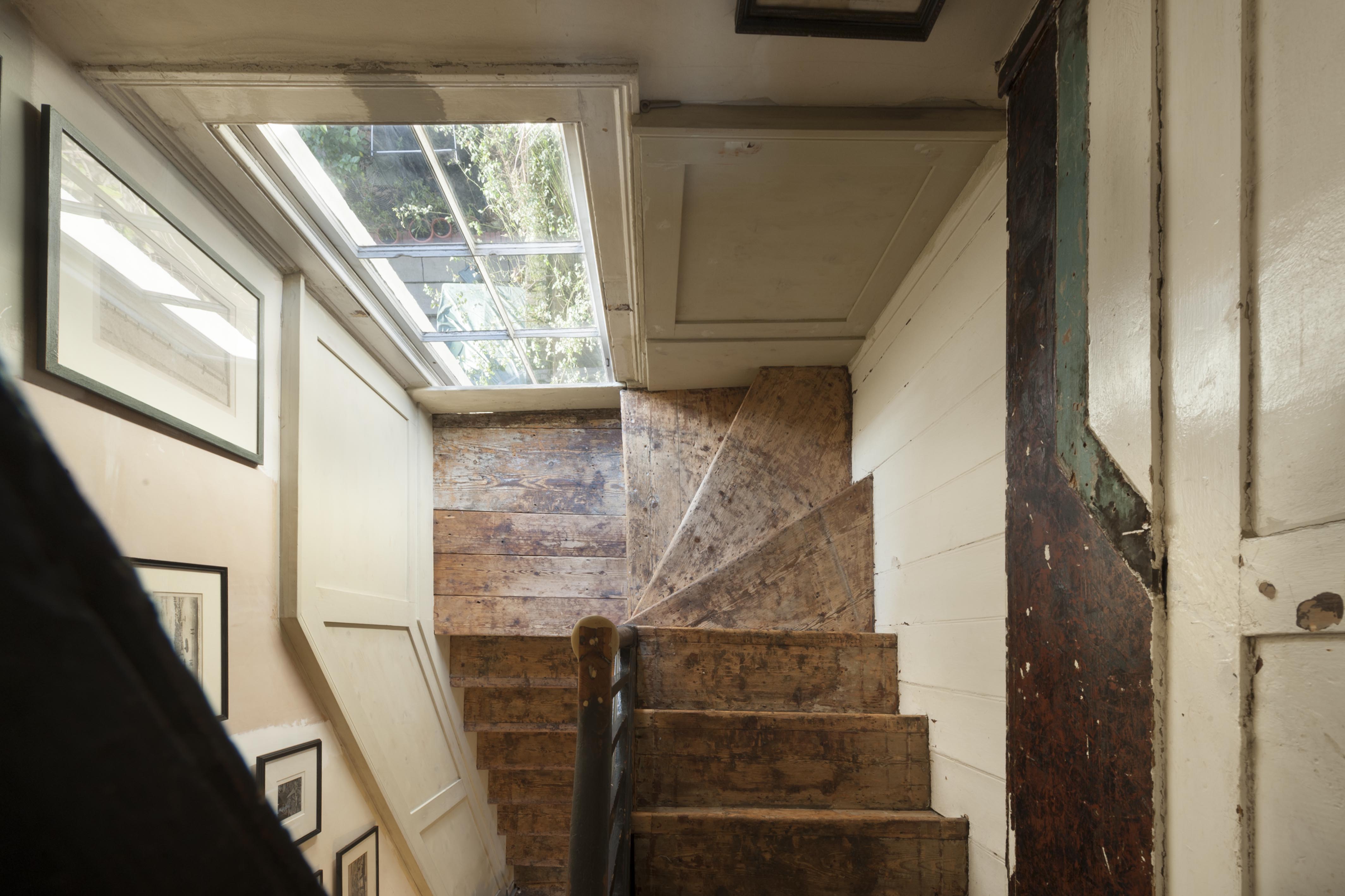
{
"id": 1072,
"title": "Staircase, 43 New Road, December 2017",
"author": {
"id": 27,
"username": "DerekKendall"
},
"feature": {
"id": 917,
"type": "Feature",
"geometry": {
"type": "MultiPolygon",
"coordinates": [
[
[
[
-0.062399334629087,
51.51582727262914
],
[
-0.062277094846845,
51.51583675811268
],
[
-0.062266319341324,
51.51579241977669
],
[
-0.062388009783651,
51.51578297692142
],
[
-0.062399334629087,
51.51582727262914
]
]
]
]
},
"properties": {
"b_number": "43",
"b_name": "",
"street": "New Road",
"address": "43 New Road",
"feature_type": "WHITECHAPEL_BUILDING",
"count": 11,
"search_str": "43 New Road"
},
"tags": []
},
"file": "https://surveyoflondon.org/media/uploads/features/917/SoL%20Whitechapel%20101714.jpg",
"description": "",
"copyright": true,
"created": "2018-01-22"
},
{
"id": 1073,
"title": "43 New Road, December 2017",
"author": {
"id": 27,
"username": "DerekKendall"
},
"feature": {
"id": 917,
"type": "Feature",
"geometry": {
"type": "MultiPolygon",
"coordinates": [
[
[
[
-0.062399334629087,
51.51582727262914
],
[
-0.062277094846845,
51.51583675811268
],
[
-0.062266319341324,
51.51579241977669
],
[
-0.062388009783651,
51.51578297692142
],
[
-0.062399334629087,
51.51582727262914
]
]
]
]
},
"properties": {
"b_number": "43",
"b_name": "",
"street": "New Road",
"address": "43 New Road",
"feature_type": "WHITECHAPEL_BUILDING",
"count": 11,
"search_str": "43 New Road"
},
"tags": []
},
"file": "https://surveyoflondon.org/media/uploads/features/917/SoL%20Whitechapel%20101728.jpg",
"description": "",
"copyright": true,
"created": "2018-01-22"
},
{
"id": 1395,
"title": "7-11 Greatorex Street, photograph by Dan Cruickshank, c.1972",
"author": {
"id": 268,
"username": "DanCruickshank"
},
"feature": {
"id": 282,
"type": "Feature",
"geometry": {
"type": "MultiPolygon",
"coordinates": [
[
[
[
-0.067166439426153,
51.517710385822326
],
[
-0.067530245010778,
51.51757758341182
],
[
-0.067664513450046,
51.517722482210196
],
[
-0.06729665215752,
51.517848524184735
],
[
-0.067166439426153,
51.517710385822326
]
]
]
]
},
"properties": {
"b_number": "7-11",
"b_name": "Business Development Centre, formerly Great Garden Street Synagogue and Morris Lederman House",
"street": "Greatorex Street",
"address": "7-11 Greatorex Street",
"feature_type": "WHITECHAPEL_BUILDING",
"count": 10,
"search_str": "Business Development Centre, formerly Great Garden Street Synagogue and Morris Lederman House"
},
"tags": [
"Federation of Synagogues",
"foundry",
"Morris Lederman",
"synagogue"
]
},
"file": "https://surveyoflondon.org/media/uploads/features/282/00210002.jpg",
"description": "",
"copyright": true,
"created": "2018-11-09"
},
{
"id": 1070,
"title": "Staircase, 43 New Road, December 2017",
"author": {
"id": 27,
"username": "DerekKendall"
},
"feature": {
"id": 917,
"type": "Feature",
"geometry": {
"type": "MultiPolygon",
"coordinates": [
[
[
[
-0.062399334629087,
51.51582727262914
],
[
-0.062277094846845,
51.51583675811268
],
[
-0.062266319341324,
51.51579241977669
],
[
-0.062388009783651,
51.51578297692142
],
[
-0.062399334629087,
51.51582727262914
]
]
]
]
},
"properties": {
"b_number": "43",
"b_name": "",
"street": "New Road",
"address": "43 New Road",
"feature_type": "WHITECHAPEL_BUILDING",
"count": 11,
"search_str": "43 New Road"
},
"tags": []
},
"file": "https://surveyoflondon.org/media/uploads/features/917/SoL%20Whitechapel%20101699.jpg",
"description": "",
"copyright": true,
"created": "2018-01-22"
},
{
"id": 1071,
"title": "Staircase from above, 43 New Road, December 2017",
"author": {
"id": 27,
"username": "DerekKendall"
},
"feature": {
"id": 917,
"type": "Feature",
"geometry": {
"type": "MultiPolygon",
"coordinates": [
[
[
[
-0.062399334629087,
51.51582727262914
],
[
-0.062277094846845,
51.51583675811268
],
[
-0.062266319341324,
51.51579241977669
],
[
-0.062388009783651,
51.51578297692142
],
[
-0.062399334629087,
51.51582727262914
]
]
]
]
},
"properties": {
"b_number": "43",
"b_name": "",
"street": "New Road",
"address": "43 New Road",
"feature_type": "WHITECHAPEL_BUILDING",
"count": 11,
"search_str": "43 New Road"
},
"tags": []
},
"file": "https://surveyoflondon.org/media/uploads/features/917/SoL%20Whitechapel%20101712.jpg",
"description": "",
"copyright": true,
"created": "2018-01-22"
},
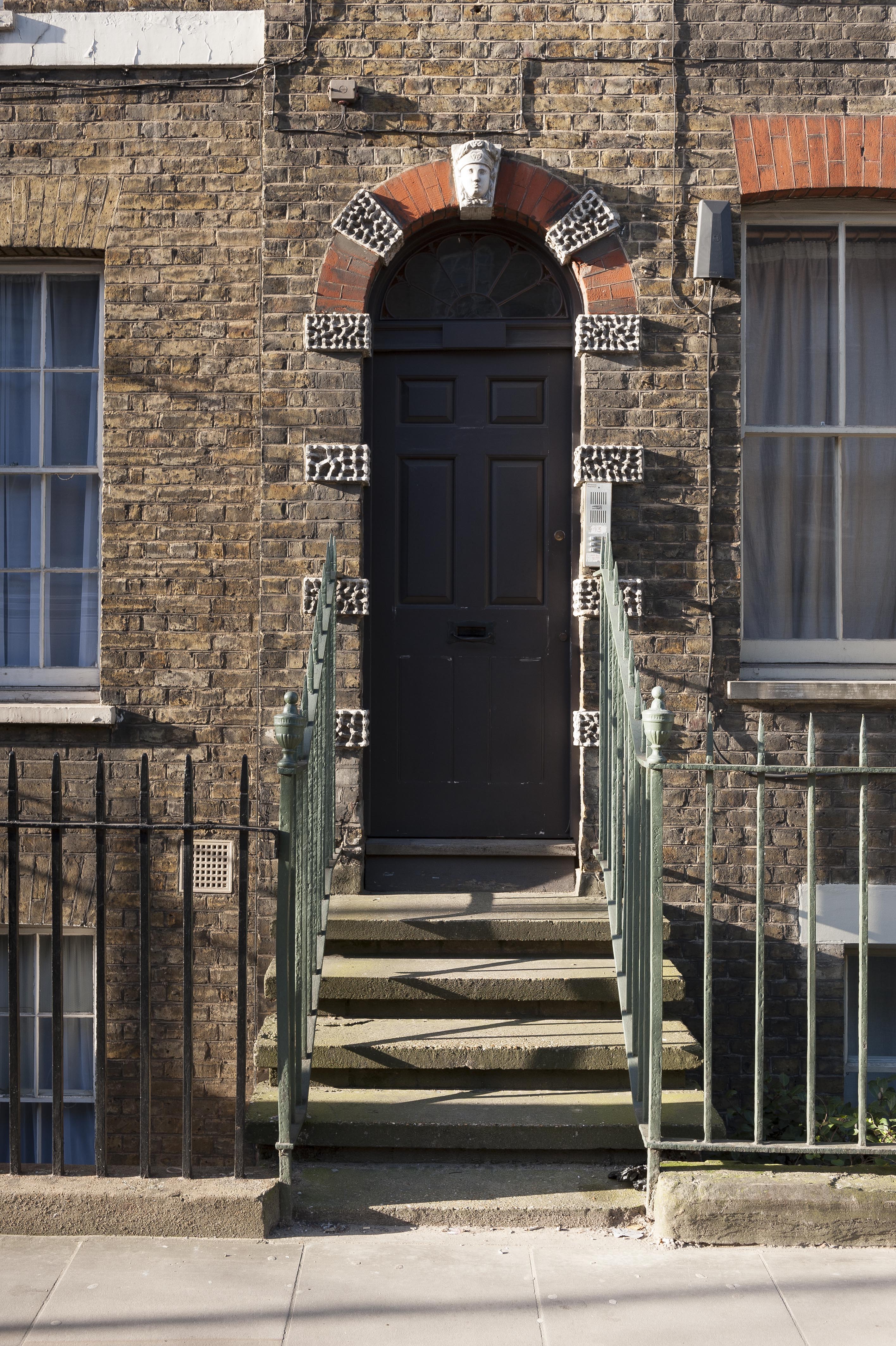
{
"id": 1074,
"title": "View to entrance, 43 New Road, December 2017",
"author": {
"id": 27,
"username": "DerekKendall"
},
"feature": {
"id": 917,
"type": "Feature",
"geometry": {
"type": "MultiPolygon",
"coordinates": [
[
[
[
-0.062399334629087,
51.51582727262914
],
[
-0.062277094846845,
51.51583675811268
],
[
-0.062266319341324,
51.51579241977669
],
[
-0.062388009783651,
51.51578297692142
],
[
-0.062399334629087,
51.51582727262914
]
]
]
]
},
"properties": {
"b_number": "43",
"b_name": "",
"street": "New Road",
"address": "43 New Road",
"feature_type": "WHITECHAPEL_BUILDING",
"count": 11,
"search_str": "43 New Road"
},
"tags": []
},
"file": "https://surveyoflondon.org/media/uploads/features/917/SoL%20Whitechapel%20101731.jpg",
"description": "",
"copyright": true,
"created": "2018-01-22"
},
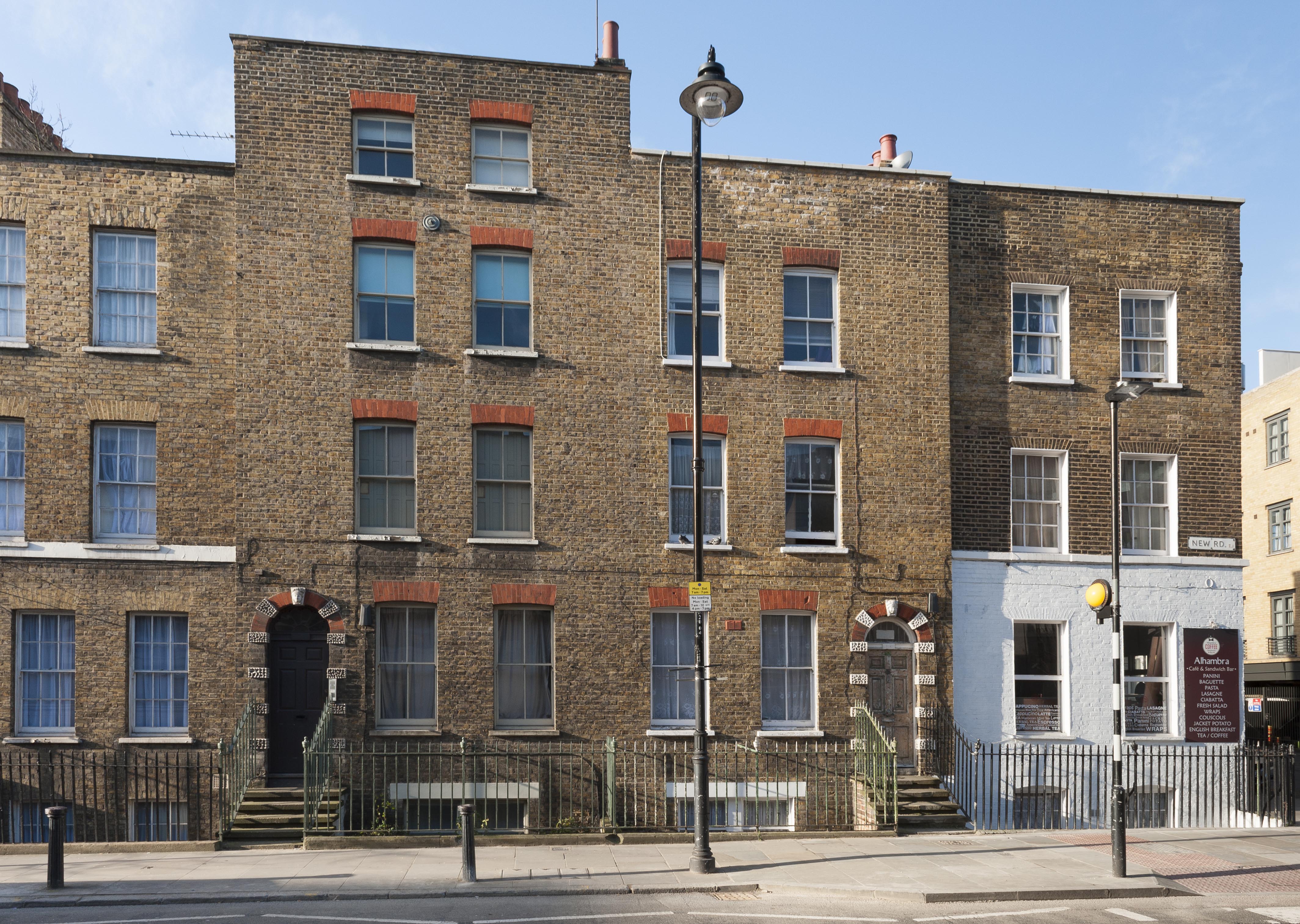
{
"id": 1075,
"title": "43-47 New Road, December 2017",
"author": {
"id": 27,
"username": "DerekKendall"
},
"feature": {
"id": 915,
"type": "Feature",
"geometry": {
"type": "MultiPolygon",
"coordinates": [
[
[
[
-0.062408981394674,
51.51587597796882
],
[
-0.062288435312376,
51.515883421108654
],
[
-0.062277094846845,
51.51583675811268
],
[
-0.062399334629087,
51.51582727262914
],
[
-0.062408981394674,
51.51587597796882
]
]
]
]
},
"properties": {
"b_number": "45",
"b_name": "",
"street": "New Road",
"address": "45 New Road",
"feature_type": "WHITECHAPEL_BUILDING",
"count": 6,
"search_str": "45 New Road"
},
"tags": []
},
"file": "https://surveyoflondon.org/media/uploads/features/915/SoL%20Whitechapel%20101729.jpg",
"description": "",
"copyright": true,
"created": "2018-01-22"
},
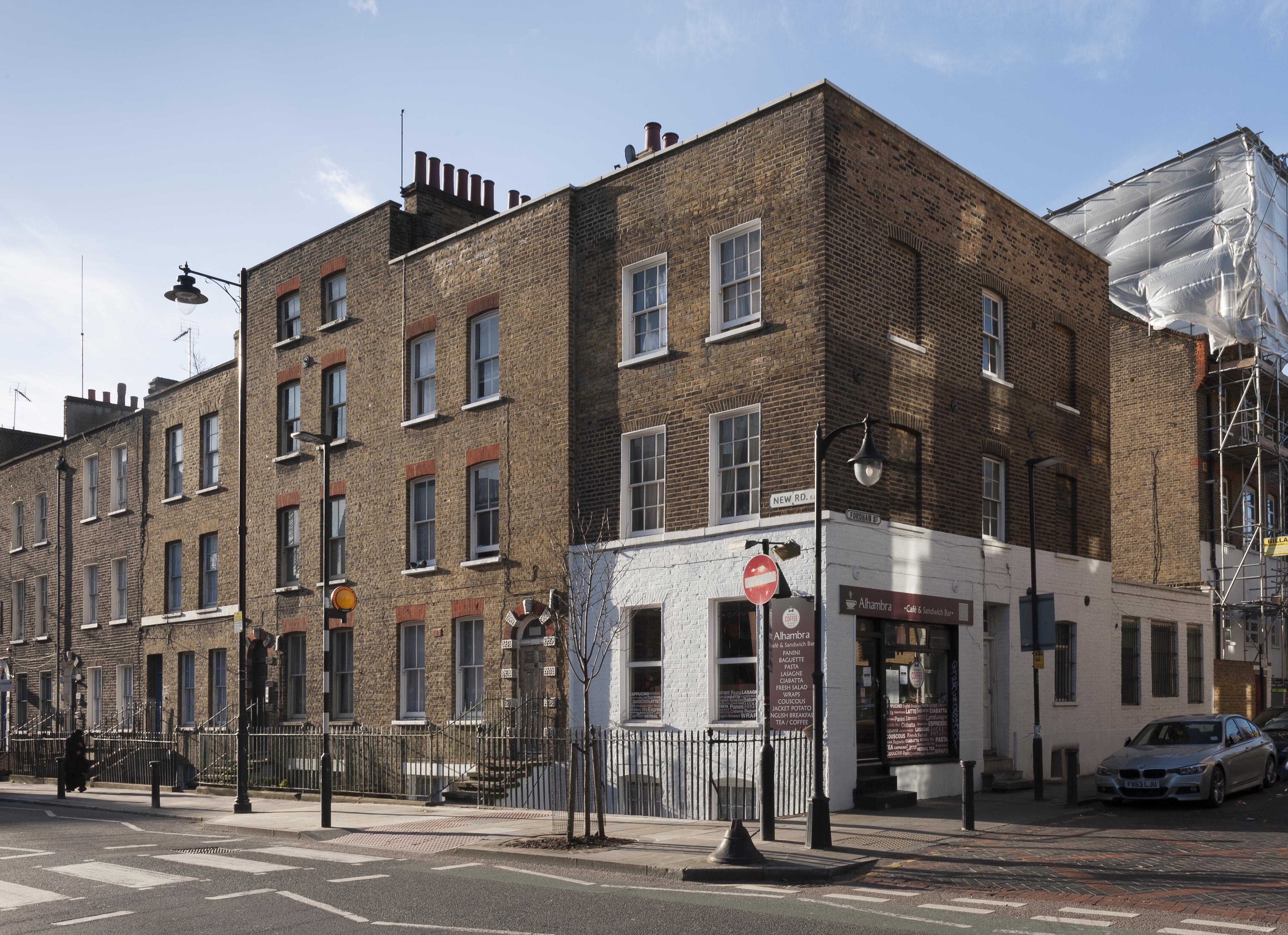
{
"id": 1076,
"title": "37-47 New Road, December 2017",
"author": {
"id": 27,
"username": "DerekKendall"
},
"feature": {
"id": 916,
"type": "Feature",
"geometry": {
"type": "MultiPolygon",
"coordinates": [
[
[
[
-0.062288435312376,
51.515883421108654
],
[
-0.062495632136836,
51.51587062770287
],
[
-0.062507189857639,
51.515915834273294
],
[
-0.062299150399299,
51.515927510838225
],
[
-0.062288435312376,
51.515883421108654
]
]
]
]
},
"properties": {
"b_number": "47",
"b_name": "",
"street": "New Road",
"address": "47 New Road",
"feature_type": "WHITECHAPEL_BUILDING",
"count": 6,
"search_str": "47 New Road"
},
"tags": []
},
"file": "https://surveyoflondon.org/media/uploads/features/916/SoL%20Whitechapel%20101727.jpg",
"description": "",
"copyright": true,
"created": "2018-01-22"
},
{
"id": 1390,
"title": "Wentworth Street 2012",
"author": {
"id": 252,
"username": "mark3"
},
"feature": {
"id": 1780,
"type": "Feature",
"geometry": {
"type": "MultiPolygon",
"coordinates": [
[
[
[
-0.076081049460634,
51.516745012900074
],
[
-0.075869207037227,
51.5164945060808
],
[
-0.076396594342593,
51.51627905831067
],
[
-0.076498396673571,
51.51637380323061
],
[
-0.076700053603207,
51.51654797315299
],
[
-0.076691753839562,
51.51657391604613
],
[
-0.076261471534957,
51.51669455568254
],
[
-0.076199969160705,
51.516614860096716
],
[
-0.076347433380365,
51.51657348434068
],
[
-0.076308807429029,
51.51652896605334
],
[
-0.076347450154987,
51.51651835897641
],
[
-0.076388843103737,
51.51656220321698
],
[
-0.076432659614436,
51.51654853351034
],
[
-0.076334484561652,
51.516456635794135
],
[
-0.076103800392264,
51.51654718563289
],
[
-0.076232300799191,
51.516702710212556
],
[
-0.076081049460634,
51.516745012900074
]
]
]
]
},
"properties": {
"b_number": null,
"b_name": null,
"street": null,
"address": "Greater Whitechapel",
"feature_type": "GREATER_WHITECHAPEL",
"count": 1,
"search_str": "Greater Whitechapel"
},
"tags": []
},
"file": "https://surveyoflondon.org/media/uploads/features/1780/IMG_1302.JPG",
"description": "The Savile Row of the East End",
"copyright": false,
"created": "2018-10-29"
},
{
"id": 1421,
"title": "Sunnamusk, 75 Whitechapel Road, in late 2018",
"author": {
"id": 27,
"username": "DerekKendall"
},
"feature": {
"id": 112,
"type": "Feature",
"geometry": {
"type": "MultiPolygon",
"coordinates": [
[
[
[
-0.066957716149887,
51.51736190286489
],
[
-0.067080084424384,
51.51747807555298
],
[
-0.067080079175569,
51.51747808475281
],
[
-0.066975623228904,
51.51751707479948
],
[
-0.066860292367928,
51.51739939698715
],
[
-0.066957716149887,
51.51736190286489
]
]
]
]
},
"properties": {
"b_number": "75",
"b_name": "",
"street": "Whitechapel Road",
"address": "75 Whitechapel Road",
"feature_type": "WHITECHAPEL_BUILDING",
"count": 7,
"search_str": "75 Whitechapel Road"
},
"tags": []
},
"file": "https://surveyoflondon.org/media/uploads/features/112/SoL%20Whitechapel%20102289.jpg",
"description": "",
"copyright": true,
"created": "2018-11-13"
},
{
"id": 1082,
"title": "187-189 Whitechapel Road from the rear (north) in 2017",
"author": {
"id": 18,
"username": "shahedsaleem"
},
"feature": {
"id": 454,
"type": "Feature",
"geometry": {
"type": "MultiPolygon",
"coordinates": [
[
[
[
-0.063667260850097,
51.51848862393991
],
[
-0.06360763059881,
51.51850554866203
],
[
-0.063589964404232,
51.51848132170112
],
[
-0.063552789553256,
51.518491872933986
],
[
-0.063496378982988,
51.5184145126676
],
[
-0.063594819394982,
51.5183863647881
],
[
-0.063667260850097,
51.51848862393991
]
]
]
]
},
"properties": {
"b_number": "187",
"b_name": "",
"street": "Whitechapel Road",
"address": "187 Whitechapel Road",
"feature_type": "WHITECHAPEL_BUILDING",
"count": 4,
"search_str": "187 Whitechapel Road"
},
"tags": [
"William Rowland"
]
},
"file": "https://surveyoflondon.org/media/uploads/features/454/IMG_4804.jpg",
"description": "",
"copyright": true,
"created": "2018-01-22"
}
]
}
.jpg)