HTTP 200 OK
Allow: GET, HEAD, OPTIONS
Content-Type: application/json
Vary: Accept
{
"count": 1747,
"next": "https://surveyoflondon.org/api/v1/images/?format=api&page=47",
"previous": "https://surveyoflondon.org/api/v1/images/?format=api&page=45",
"results": [
{
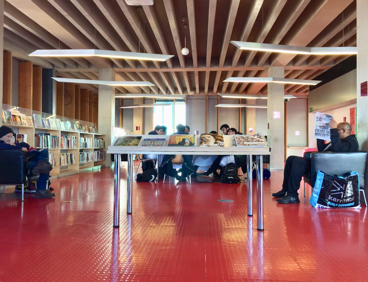
"id": 1123,
"title": "Inside the Idea Store ",
"author": {
"id": 209,
"username": "f.ciufo"
},
"feature": {
"id": 518,
"type": "Feature",
"geometry": {
"type": "MultiPolygon",
"coordinates": [
[
[
[
-0.058265578249493,
51.51997368190386
],
[
-0.057870681883353,
51.520069776330836
],
[
-0.057795852846717,
51.519925640296286
],
[
-0.057754684632276,
51.51993713160212
],
[
-0.057648441439835,
51.519761149535064
],
[
-0.05807295251591,
51.51962908276924
],
[
-0.058265578249493,
51.51997368190386
]
]
]
]
},
"properties": {
"b_number": "321",
"b_name": "Whitechapel Idea Store",
"street": "Whitechapel Road",
"address": "Whitechapel Idea Store, 321 Whitechapel Road",
"feature_type": "WHITECHAPEL_BUILDING",
"count": 15,
"search_str": "Whitechapel Idea Store"
},
"tags": [
"David Adjaye",
"James Edmeston",
"John Samuel Hayward"
]
},
"file": "https://surveyoflondon.org/media/uploads/features/518/IMG_8508.jpg",
"description": "",
"copyright": false,
"created": "2018-02-05"
},
{
"id": 614,
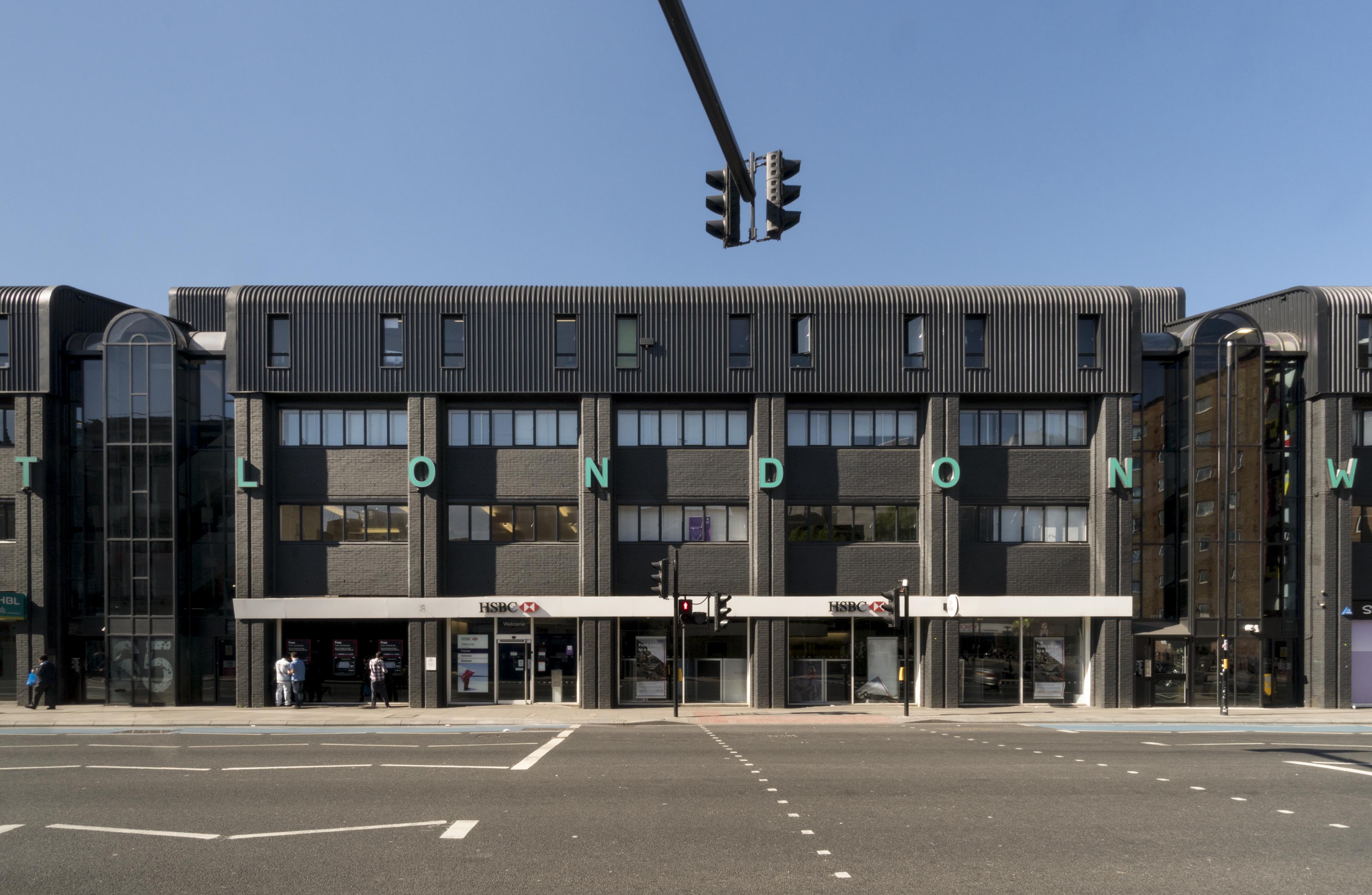
"title": "East London Works, central block, April 2017",
"author": {
"id": 27,
"username": "DerekKendall"
},
"feature": {
"id": 284,
"type": "Feature",
"geometry": {
"type": "MultiPolygon",
"coordinates": [
[
[
[
-0.067850717807257,
51.5170182258628
],
[
-0.067970244992025,
51.517142177390376
],
[
-0.067970250740239,
51.51714218201996
],
[
-0.067080079175569,
51.51747808475281
],
[
-0.067080084424384,
51.51747807555298
],
[
-0.066957716149887,
51.51736190286489
],
[
-0.067850717807257,
51.5170182258628
]
]
]
]
},
"properties": {
"b_number": "65-75",
"b_name": "Whitechapel Technology Centre (East London Works)",
"street": "Whitechapel Road",
"address": "65-75 Whitechapel Road",
"feature_type": "WHITECHAPEL_BUILDING",
"count": 13,
"search_str": "Whitechapel Technology Centre (East London Works)"
},
"tags": []
},
"file": "https://surveyoflondon.org/media/uploads/features/284/SoL%20Whitechapel%20100724.jpg",
"description": "",
"copyright": true,
"created": "2017-05-03"
},
{
"id": 1424,
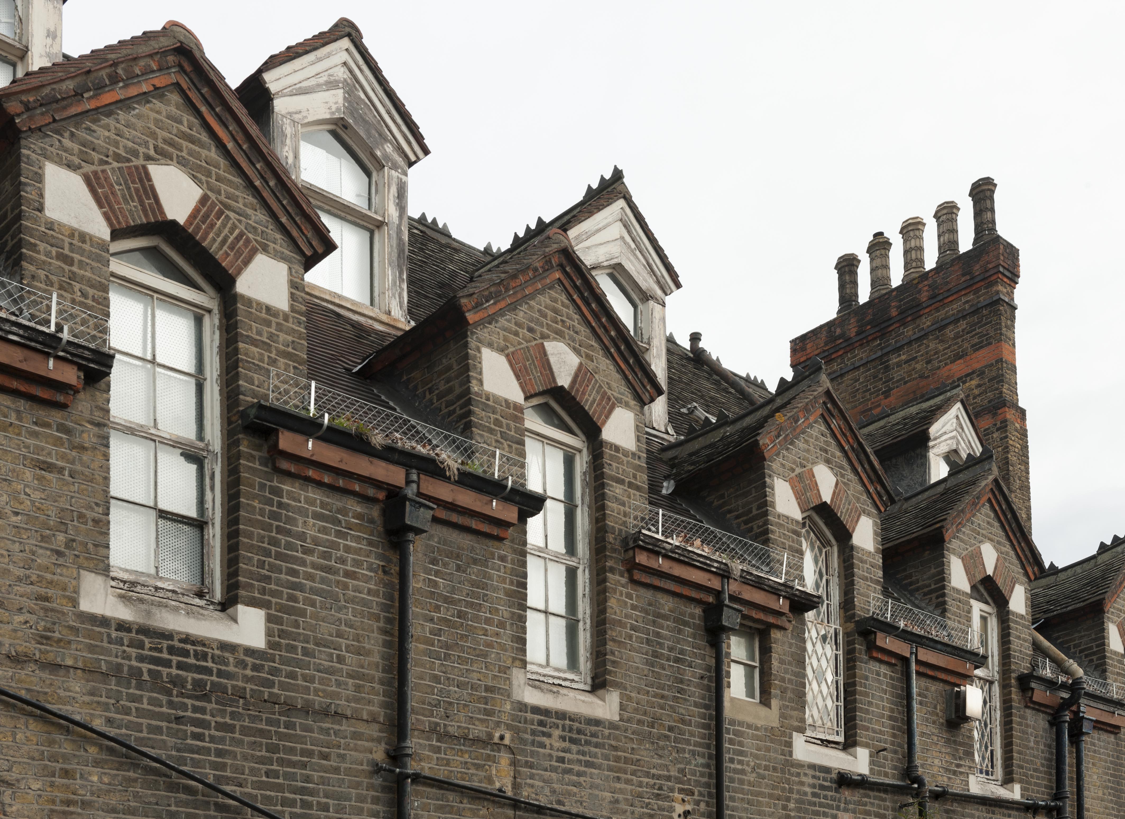
"title": "Former Church House, details of south dormers, October 2018",
"author": {
"id": 27,
"username": "DerekKendall"
},
"feature": {
"id": 1398,
"type": "Feature",
"geometry": {
"type": "MultiPolygon",
"coordinates": [
[
[
[
-0.06617795318375,
51.51038731673777
],
[
-0.065912350489888,
51.51041084290673
],
[
-0.06588610031897,
51.51032669039412
],
[
-0.066162776826975,
51.51030567245064
],
[
-0.06617795318375,
51.51038731673777
]
]
]
]
},
"properties": {
"b_number": "",
"b_name": "St Paul's School Mission Room and Infant Nursery (later used as Church House)",
"street": "Wellclose Square",
"address": "St Paul's School Mission Room and Infant Nursery",
"feature_type": "WHITECHAPEL_BUILDING",
"count": 11,
"search_str": "St Paul's School Mission Room and Infant Nursery (later used as Church House)"
},
"tags": []
},
"file": "https://surveyoflondon.org/media/uploads/features/1398/SoL%20Whitechapel%20102307.jpg",
"description": "",
"copyright": true,
"created": "2018-11-13"
},
{
"id": 1441,
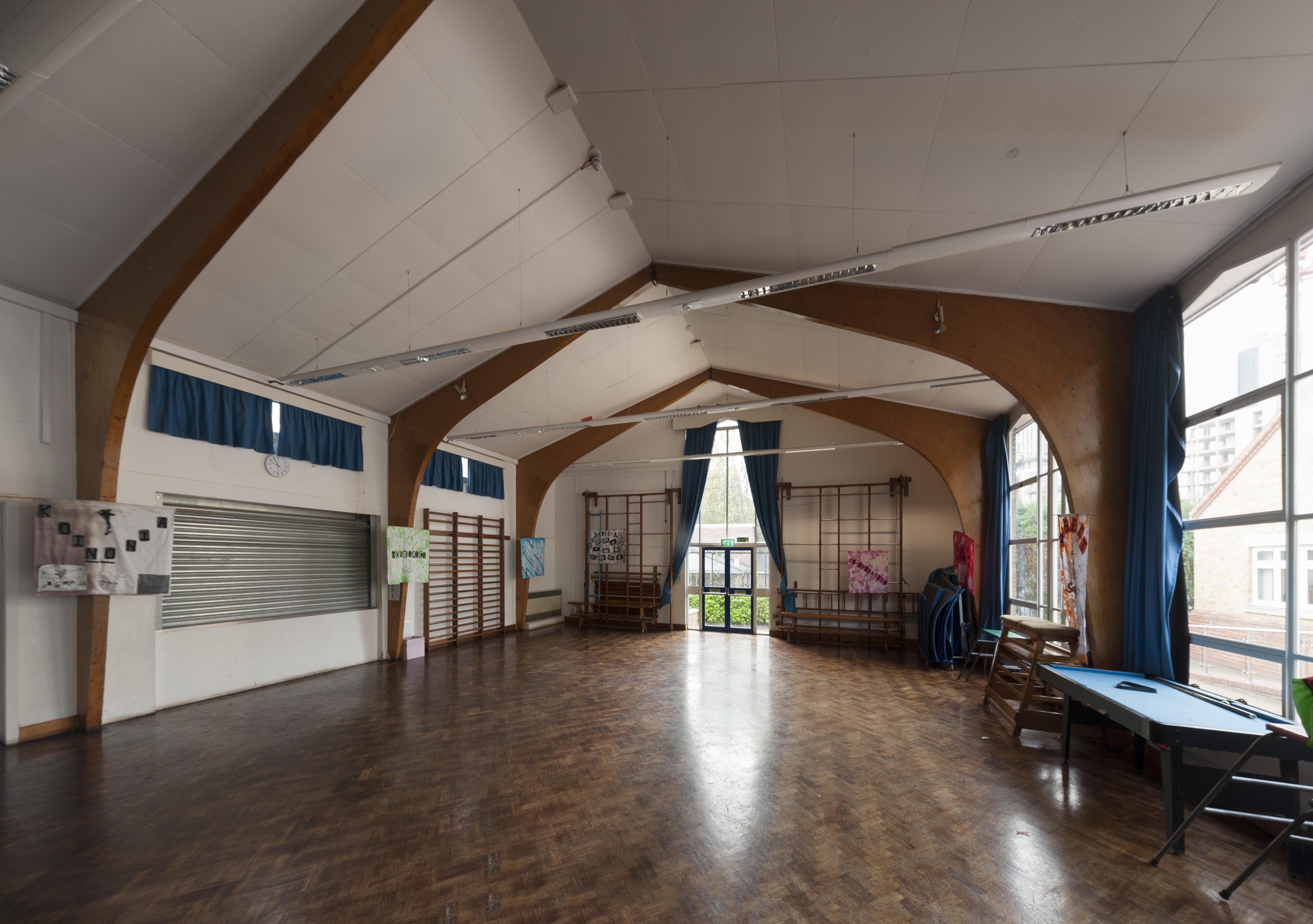
"title": "St Paul's School. early 1960s assembly hall from the north, October 2018",
"author": {
"id": 27,
"username": "DerekKendall"
},
"feature": {
"id": 1399,
"type": "Feature",
"geometry": {
"type": "MultiPolygon",
"coordinates": [
[
[
[
-0.06624311370635,
51.51019072010641
],
[
-0.066077627531148,
51.510204269850675
],
[
-0.066069527116146,
51.510170337345684
],
[
-0.06611551384684,
51.51016638639934
],
[
-0.066109726117682,
51.51014703372793
],
[
-0.065814585354416,
51.5101673738921
],
[
-0.065821533323482,
51.51022330153386
],
[
-0.065683910471039,
51.51023360737856
],
[
-0.065657889334494,
51.51008339520407
],
[
-0.065349361164399,
51.51010853754948
],
[
-0.06532938777826,
51.510008209650636
],
[
-0.065633994165545,
51.509987653756085
],
[
-0.065620188745178,
51.50991765971934
],
[
-0.065722948991599,
51.50991121538507
],
[
-0.065716780377172,
51.509880881568165
],
[
-0.065901817537395,
51.50986765480321
],
[
-0.06593178354119,
51.50999605393065
],
[
-0.066038317356042,
51.509988508785376
],
[
-0.066023042932445,
51.50990918839897
],
[
-0.065998737156917,
51.50991111308007
],
[
-0.065980280001972,
51.50981894970597
],
[
-0.066320560006103,
51.50979200375635
],
[
-0.06632996113982,
51.50983401855985
],
[
-0.066268265775343,
51.50983881506029
],
[
-0.066265082872055,
51.50982597208467
],
[
-0.066214609325215,
51.509829790835916
],
[
-0.066234584593038,
51.50993011860635
],
[
-0.066179431061551,
51.509934441553284
],
[
-0.066189455574639,
51.5099837339709
],
[
-0.066197871962622,
51.509983000685985
],
[
-0.066205558541818,
51.510021498909204
],
[
-0.066199016557763,
51.510021972412325
],
[
-0.066209250254486,
51.51006632649741
],
[
-0.066216245469672,
51.51006615116071
],
[
-0.066221862792188,
51.51009851070753
],
[
-0.066214365136205,
51.51009954983773
],
[
-0.066220460291682,
51.51013162657133
],
[
-0.06623170678327,
51.51013006787535
],
[
-0.06624311370635,
51.51019072010641
]
]
]
]
},
"properties": {
"b_number": "",
"b_name": "St Paul's School",
"street": "Wellclose Square",
"address": "St Paul's School, Wellclose Square",
"feature_type": "WHITECHAPEL_BUILDING",
"count": 22,
"search_str": "St Paul's School"
},
"tags": [
"Rev. Dan Greatorex",
"Thomas F. Ford and Partners",
"Wilby & Burnett"
]
},
"file": "https://surveyoflondon.org/media/uploads/features/1399/SoL%20Whitechapel%20102332.jpg",
"description": "",
"copyright": true,
"created": "2018-11-13"
},
{
"id": 1077,
"title": "The site of the Pavilion Theatre in 2017",
"author": {
"id": 18,
"username": "shahedsaleem"
},
"feature": {
"id": 1468,
"type": "Feature",
"geometry": {
"type": "MultiPolygon",
"coordinates": [
[
[
[
-0.063433445665067,
51.51877834642124
],
[
-0.063594186790794,
51.51873089037533
],
[
-0.063397871263641,
51.51844488340427
],
[
-0.063227626374761,
51.518490989120856
],
[
-0.063433445665067,
51.51877834642124
]
]
]
]
},
"properties": {
"b_number": "191-193",
"b_name": "",
"street": "Whitechapel Road",
"address": "191-193 Whitechapel Road",
"feature_type": "PLACE",
"count": 5,
"search_str": "191-193 Whitechapel Road"
},
"tags": [
"theatre"
]
},
"file": "https://surveyoflondon.org/media/uploads/features/1468/IMG_4813.jpg",
"description": "",
"copyright": true,
"created": "2018-01-22"
},
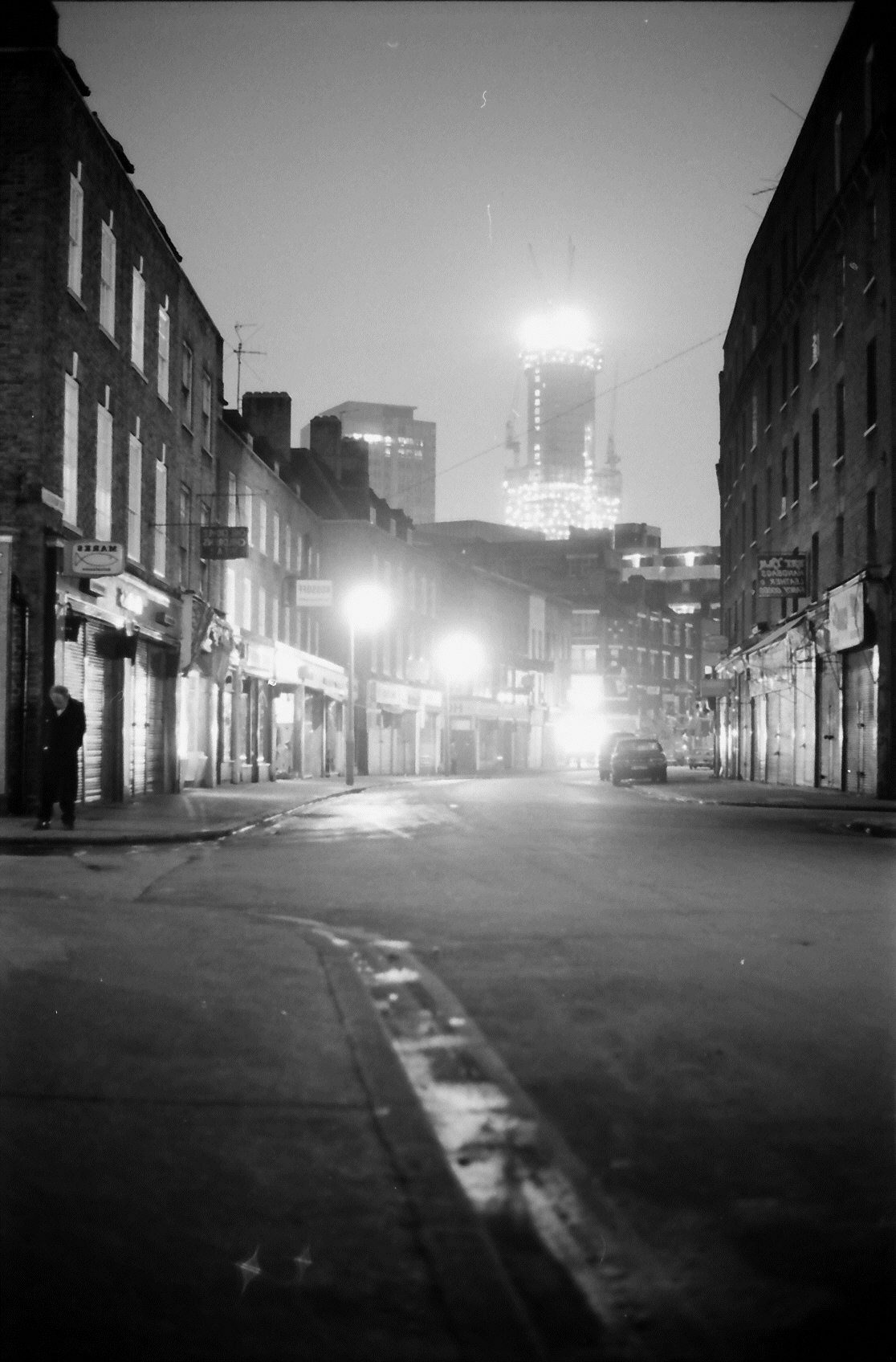
{
"id": 1389,
"title": "View down Wentworth Street 1976",
"author": {
"id": 252,
"username": "mark3"
},
"feature": {
"id": 1742,
"type": "Feature",
"geometry": {
"type": "MultiPolygon",
"coordinates": [
[
[
[
-0.076387722492951,
51.516257872286374
],
[
-0.07580974439088,
51.51649846859169
],
[
-0.075744693982384,
51.51651411423466
],
[
-0.075332716624042,
51.51665341173461
],
[
-0.075277819023276,
51.516667372076085
],
[
-0.074429584483841,
51.51681699796736
],
[
-0.074402209988697,
51.516763242480046
],
[
-0.075229889371391,
51.51661092868018
],
[
-0.074836715281391,
51.516135055700595
],
[
-0.074917049606191,
51.51611135328064
],
[
-0.075312012611936,
51.51658616747119
],
[
-0.075695505281233,
51.51646463519818
],
[
-0.075779072585588,
51.51644696856364
],
[
-0.076328753388395,
51.516209038390684
],
[
-0.076387722492951,
51.516257872286374
]
]
]
]
},
"properties": {
"b_number": "",
"b_name": "",
"street": "",
"address": "Petticoat Lane Market",
"feature_type": "PLACE",
"count": 39,
"search_str": "Petticoat Lane Market"
},
"tags": []
},
"file": "https://surveyoflondon.org/media/uploads/features/1742/View%20down%20wentworth%20Street%201976%202.jpg",
"description": "With the market street just washed, the National Westminster Tower can be seen under construction in the distance.",
"copyright": false,
"created": "2018-10-29"
},
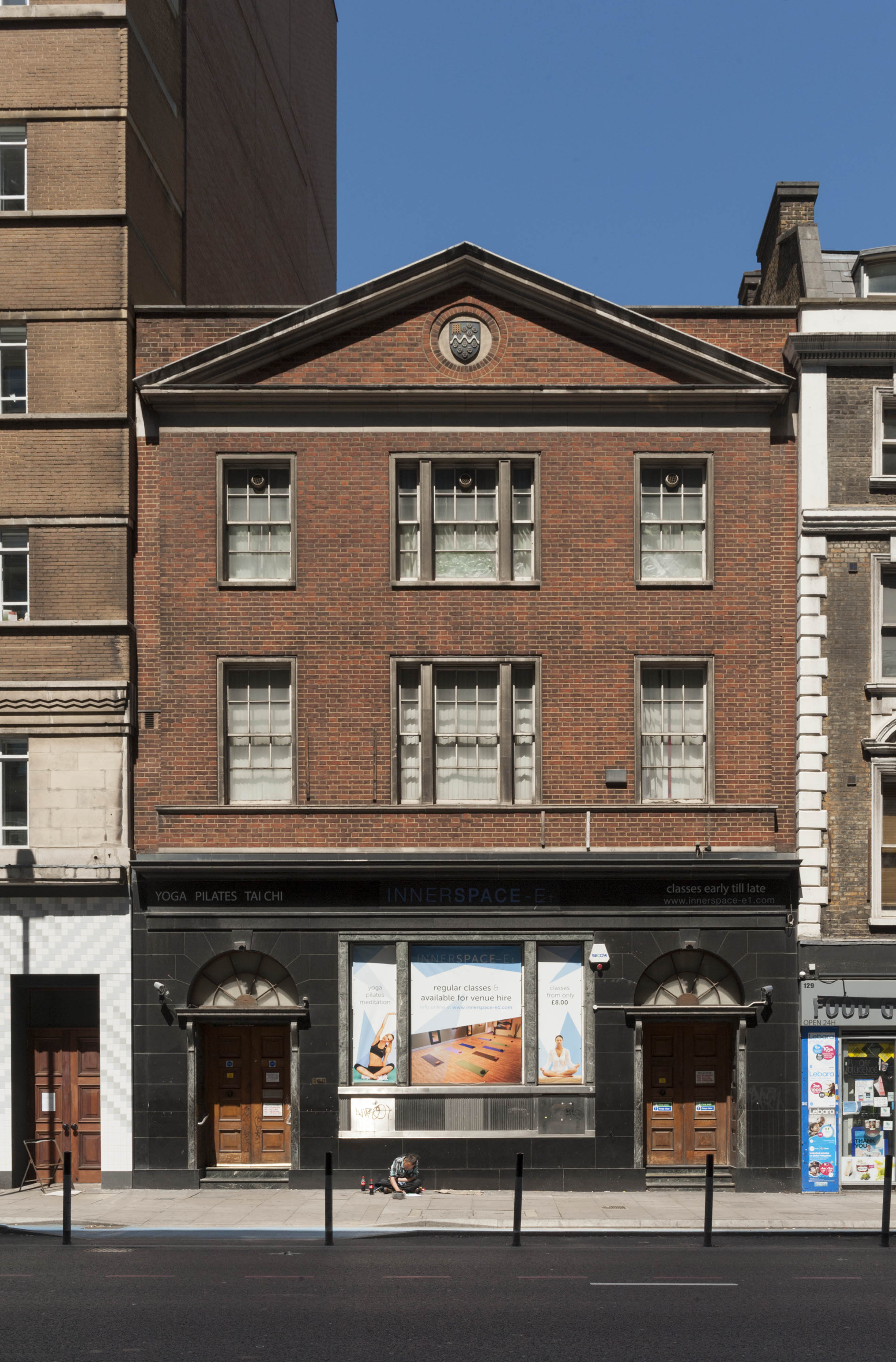
{
"id": 1632,
"title": "130 Whitechapel High Street in 2017",
"author": {
"id": 27,
"username": "DerekKendall"
},
"feature": {
"id": 409,
"type": "Feature",
"geometry": {
"type": "MultiPolygon",
"coordinates": [
[
[
[
-0.073096594828976,
51.5148823430546
],
[
-0.073219833056639,
51.51484164572821
],
[
-0.073279281585646,
51.5149363594433
],
[
-0.073403460495228,
51.515064928338404
],
[
-0.073336320356684,
51.51508947306282
],
[
-0.073388741994547,
51.515145139987375
],
[
-0.073324615495707,
51.51516864852203
],
[
-0.073096594828976,
51.5148823430546
]
]
]
]
},
"properties": {
"b_number": "130",
"b_name": "",
"street": "Whitechapel High Street",
"address": "130 Whitechapel High Street, London E1 7PS",
"feature_type": "WHITECHAPEL_BUILDING",
"count": 5,
"search_str": "130 Whitechapel High Street, London E1 7PS"
},
"tags": []
},
"file": "https://surveyoflondon.org/media/uploads/features/409/SoL%20Whitechapel%20100963.jpg",
"description": "",
"copyright": true,
"created": "2019-07-05"
},
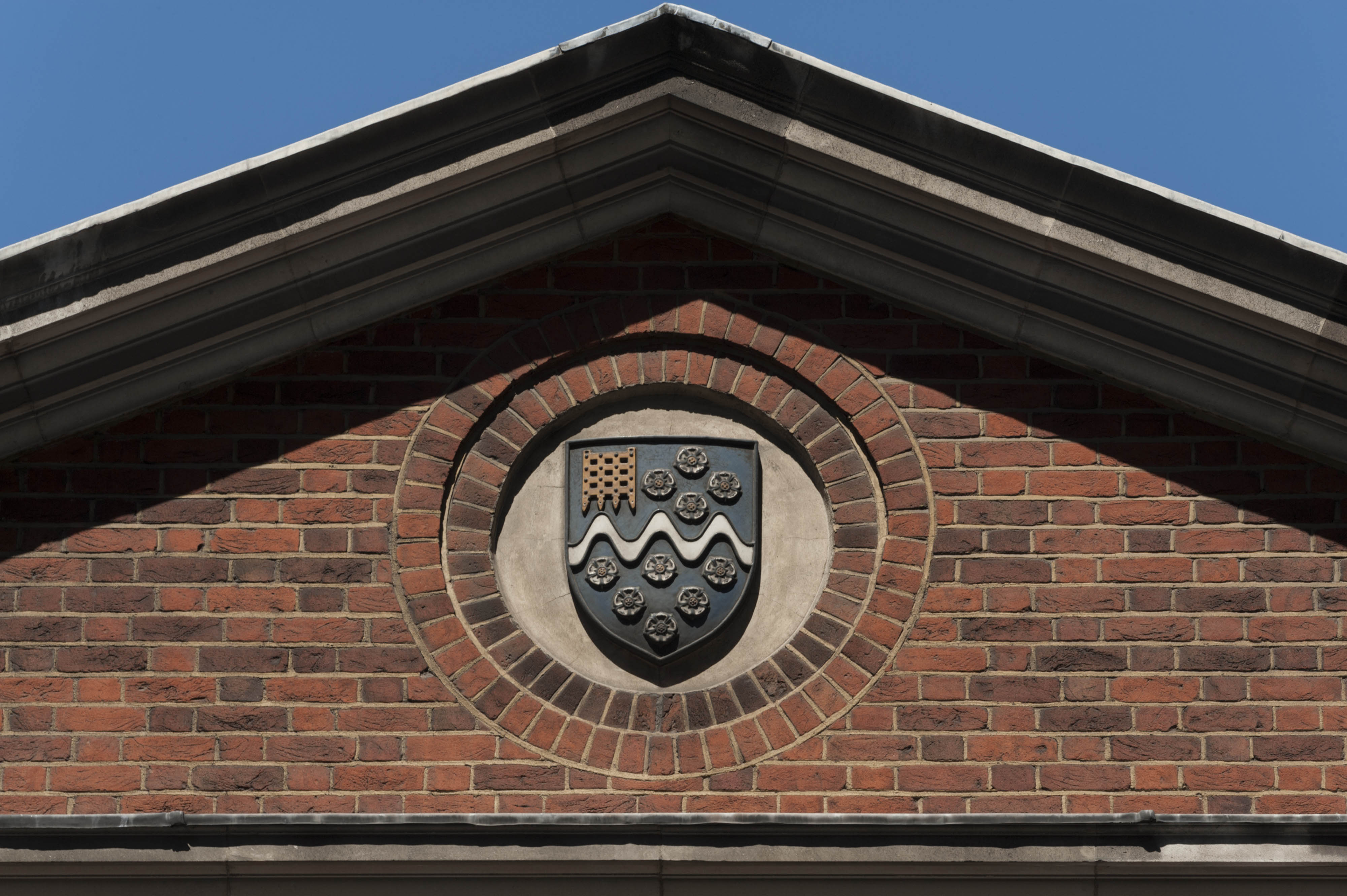
{
"id": 1633,
"title": "Pediment detail from 130 Whitechapel High Street showing the crest of the National Westminster Bank",
"author": {
"id": 27,
"username": "DerekKendall"
},
"feature": {
"id": 409,
"type": "Feature",
"geometry": {
"type": "MultiPolygon",
"coordinates": [
[
[
[
-0.073096594828976,
51.5148823430546
],
[
-0.073219833056639,
51.51484164572821
],
[
-0.073279281585646,
51.5149363594433
],
[
-0.073403460495228,
51.515064928338404
],
[
-0.073336320356684,
51.51508947306282
],
[
-0.073388741994547,
51.515145139987375
],
[
-0.073324615495707,
51.51516864852203
],
[
-0.073096594828976,
51.5148823430546
]
]
]
]
},
"properties": {
"b_number": "130",
"b_name": "",
"street": "Whitechapel High Street",
"address": "130 Whitechapel High Street, London E1 7PS",
"feature_type": "WHITECHAPEL_BUILDING",
"count": 5,
"search_str": "130 Whitechapel High Street, London E1 7PS"
},
"tags": []
},
"file": "https://surveyoflondon.org/media/uploads/features/409/SoL%20Whitechapel%20100964.jpg",
"description": "",
"copyright": true,
"created": "2019-07-05"
},
{
"id": 376,
"title": "St Paul's School, Wellclose Square, in 2016",
"author": {
"id": 27,
"username": "DerekKendall"
},
"feature": {
"id": 1399,
"type": "Feature",
"geometry": {
"type": "MultiPolygon",
"coordinates": [
[
[
[
-0.06624311370635,
51.51019072010641
],
[
-0.066077627531148,
51.510204269850675
],
[
-0.066069527116146,
51.510170337345684
],
[
-0.06611551384684,
51.51016638639934
],
[
-0.066109726117682,
51.51014703372793
],
[
-0.065814585354416,
51.5101673738921
],
[
-0.065821533323482,
51.51022330153386
],
[
-0.065683910471039,
51.51023360737856
],
[
-0.065657889334494,
51.51008339520407
],
[
-0.065349361164399,
51.51010853754948
],
[
-0.06532938777826,
51.510008209650636
],
[
-0.065633994165545,
51.509987653756085
],
[
-0.065620188745178,
51.50991765971934
],
[
-0.065722948991599,
51.50991121538507
],
[
-0.065716780377172,
51.509880881568165
],
[
-0.065901817537395,
51.50986765480321
],
[
-0.06593178354119,
51.50999605393065
],
[
-0.066038317356042,
51.509988508785376
],
[
-0.066023042932445,
51.50990918839897
],
[
-0.065998737156917,
51.50991111308007
],
[
-0.065980280001972,
51.50981894970597
],
[
-0.066320560006103,
51.50979200375635
],
[
-0.06632996113982,
51.50983401855985
],
[
-0.066268265775343,
51.50983881506029
],
[
-0.066265082872055,
51.50982597208467
],
[
-0.066214609325215,
51.509829790835916
],
[
-0.066234584593038,
51.50993011860635
],
[
-0.066179431061551,
51.509934441553284
],
[
-0.066189455574639,
51.5099837339709
],
[
-0.066197871962622,
51.509983000685985
],
[
-0.066205558541818,
51.510021498909204
],
[
-0.066199016557763,
51.510021972412325
],
[
-0.066209250254486,
51.51006632649741
],
[
-0.066216245469672,
51.51006615116071
],
[
-0.066221862792188,
51.51009851070753
],
[
-0.066214365136205,
51.51009954983773
],
[
-0.066220460291682,
51.51013162657133
],
[
-0.06623170678327,
51.51013006787535
],
[
-0.06624311370635,
51.51019072010641
]
]
]
]
},
"properties": {
"b_number": "",
"b_name": "St Paul's School",
"street": "Wellclose Square",
"address": "St Paul's School, Wellclose Square",
"feature_type": "WHITECHAPEL_BUILDING",
"count": 22,
"search_str": "St Paul's School"
},
"tags": [
"Rev. Dan Greatorex",
"Thomas F. Ford and Partners",
"Wilby & Burnett"
]
},
"file": "https://surveyoflondon.org/media/uploads/features/1399/SoL%20Whitechapel100434.jpg",
"description": "",
"copyright": true,
"created": "2016-09-12"
},
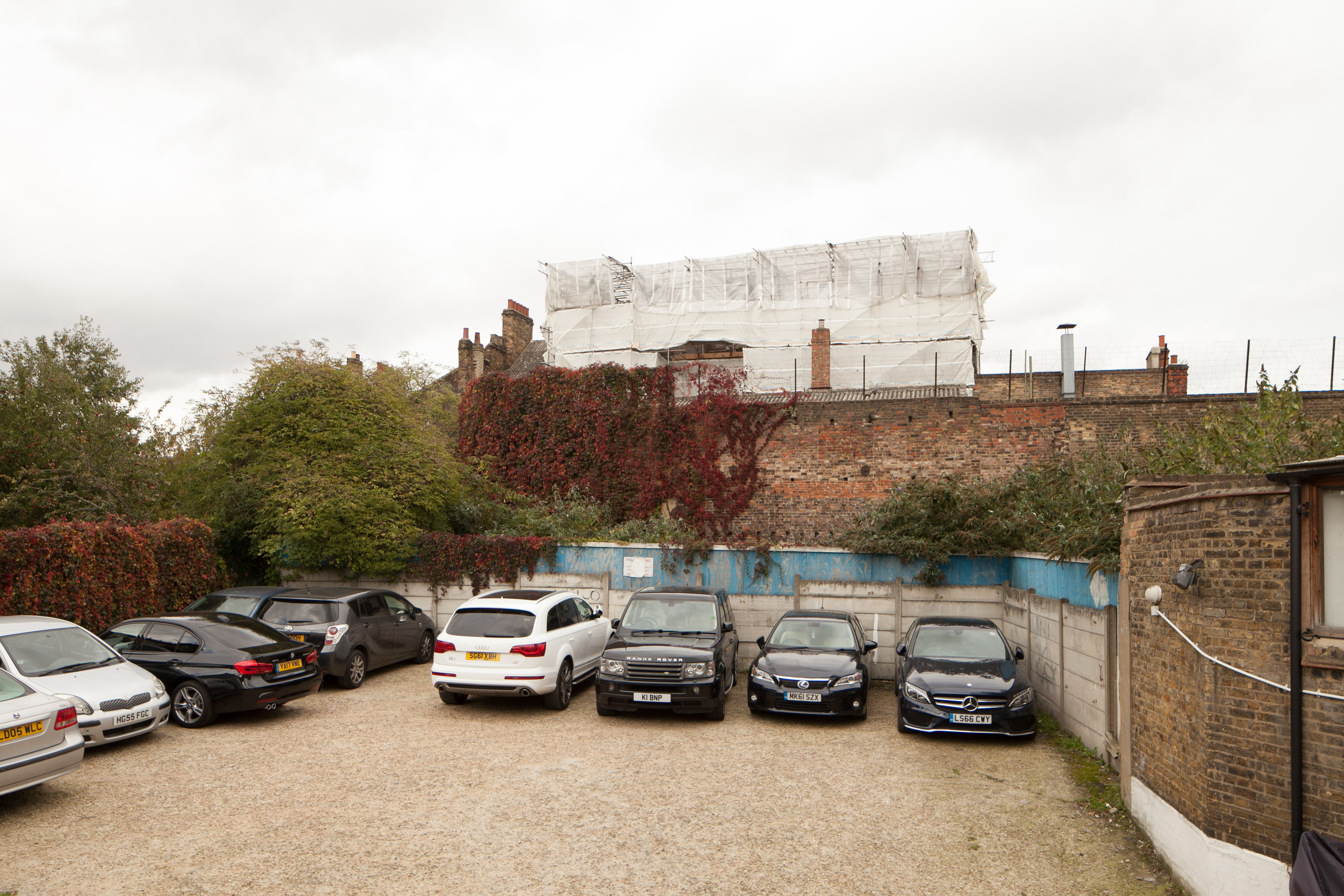
{
"id": 1044,
"title": "Buckle Street Car Park (demolished)",
"author": {
"id": 216,
"username": "duncan2"
},
"feature": {
"id": 1448,
"type": "Feature",
"geometry": {
"type": "MultiPolygon",
"coordinates": [
[
[
[
-0.070578995059682,
51.51446641575787
],
[
-0.070916294099672,
51.514341722525785
],
[
-0.071028314716768,
51.51446581892952
],
[
-0.070692872229902,
51.51458286029582
],
[
-0.070578995059682,
51.51446641575787
]
]
]
]
},
"properties": {
"b_number": "",
"b_name": "Leman Locke",
"street": "Leman Street",
"address": "Leman Locke, 15–17 Leman Street",
"feature_type": "WHITECHAPEL_BUILDING",
"count": 12,
"search_str": "Leman Locke"
},
"tags": []
},
"file": "https://surveyoflondon.org/media/uploads/features/1448/IMG_0438_8P5clRZ.jpg",
"description": "This is the multistorey car park that formerly occupied this Buckle Street site, up until its demolition in 2013. Photo looking north east.",
"copyright": false,
"created": "2018-01-18"
},
{
"id": 1045,
"title": "Buckle Street Car Park (demolished)",
"author": {
"id": 216,
"username": "duncan2"
},
"feature": {
"id": 1448,
"type": "Feature",
"geometry": {
"type": "MultiPolygon",
"coordinates": [
[
[
[
-0.070578995059682,
51.51446641575787
],
[
-0.070916294099672,
51.514341722525785
],
[
-0.071028314716768,
51.51446581892952
],
[
-0.070692872229902,
51.51458286029582
],
[
-0.070578995059682,
51.51446641575787
]
]
]
]
},
"properties": {
"b_number": "",
"b_name": "Leman Locke",
"street": "Leman Street",
"address": "Leman Locke, 15–17 Leman Street",
"feature_type": "WHITECHAPEL_BUILDING",
"count": 12,
"search_str": "Leman Locke"
},
"tags": []
},
"file": "https://surveyoflondon.org/media/uploads/features/1448/IMG_0443.jpg",
"description": "This is the multistorey car park that formerly occupied this site, up until its demolition in 2013. Here looking west towards Leman Street and the now demolished Maersk (formerly Beagle House) building.",
"copyright": false,
"created": "2018-01-18"
},
{
"id": 510,
"title": "Plans of the ground and first floors of the London Hospital",
"author": {
"id": 2,
"username": "surveyoflondon"
},
"feature": {
"id": 1230,
"type": "Feature",
"geometry": {
"type": "MultiPolygon",
"coordinates": [
[
[
[
-0.06071898744648,
51.51847914149303
],
[
-0.060743358937849,
51.518529899918775
],
[
-0.060362148562617,
51.518618013153
],
[
-0.060404024127419,
51.51868851949335
],
[
-0.060356952993906,
51.51869974522794
],
[
-0.060399234817198,
51.51877056309998
],
[
-0.060042469531136,
51.5188530372297
],
[
-0.060006551123239,
51.51879256032364
],
[
-0.05997171006068,
51.51880061452483
],
[
-0.059923949522789,
51.51872019830377
],
[
-0.059602716389847,
51.51879445706454
],
[
-0.059631951693606,
51.51884368227145
],
[
-0.059135089420495,
51.51895853862307
],
[
-0.059031394281591,
51.51878393727422
],
[
-0.059075483581288,
51.51877374555587
],
[
-0.05923306113512,
51.518737319626666
],
[
-0.059261815633844,
51.518785736083466
],
[
-0.059453095208379,
51.51874286661955
],
[
-0.059437777096903,
51.51871791341666
],
[
-0.059509844762857,
51.518701022201654
],
[
-0.059472510825189,
51.51863713193043
],
[
-0.059893693119402,
51.51853565124978
],
[
-0.059897251108141,
51.51854177905041
],
[
-0.060406197614306,
51.5184267554985
],
[
-0.060388475186227,
51.51839623334771
],
[
-0.060226549751936,
51.51811735804654
],
[
-0.060490662909997,
51.51805857683586
],
[
-0.060500593175314,
51.518078725457706
],
[
-0.06071898744648,
51.51847914149303
]
]
]
]
},
"properties": {
"b_number": "",
"b_name": "Former Royal London Hospital",
"street": "",
"address": "Former Royal London Hospital ",
"feature_type": "WHITECHAPEL_BUILDING",
"count": 53,
"search_str": "Former Royal London Hospital"
},
"tags": []
},
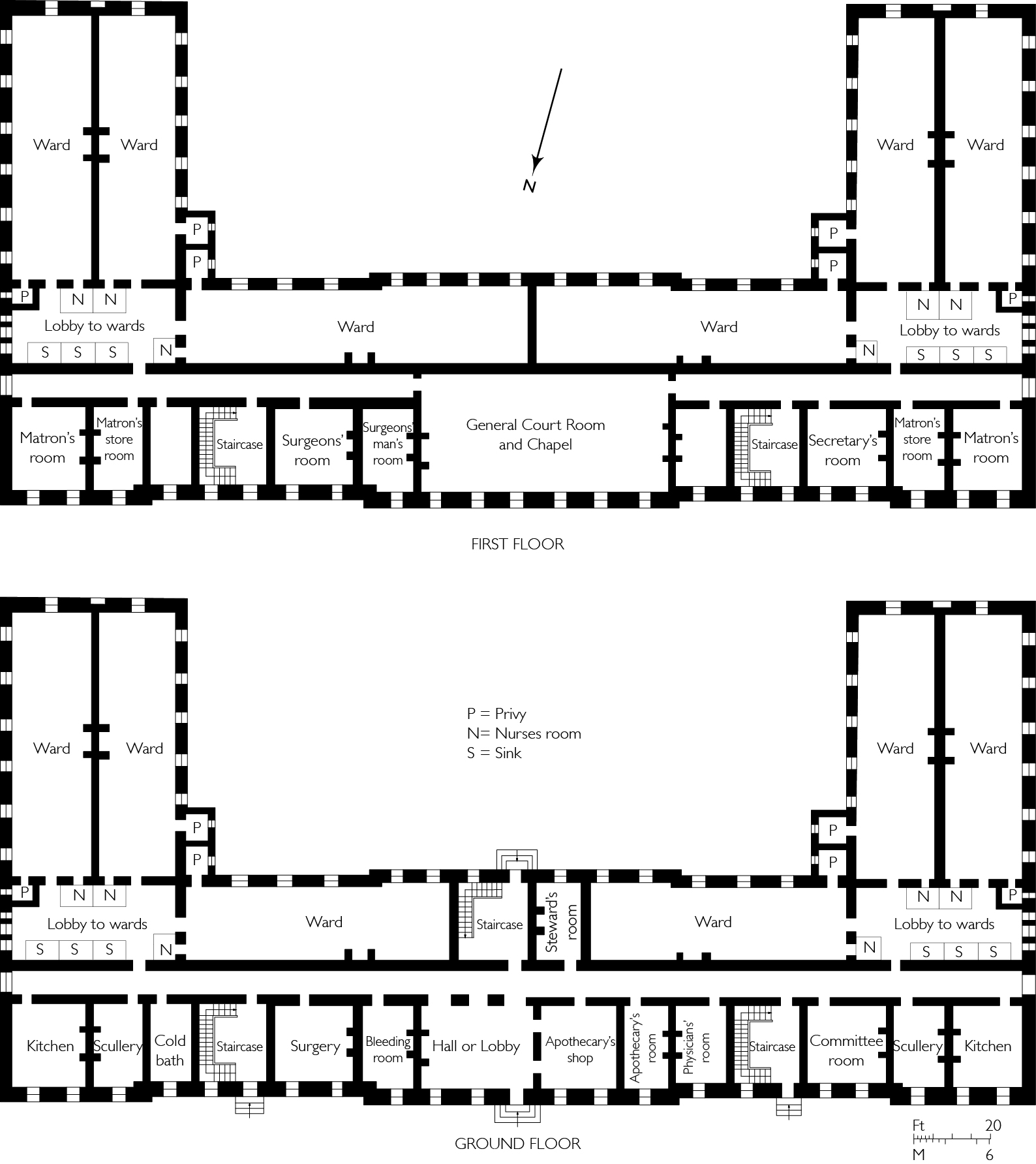
"file": "https://surveyoflondon.org/media/uploads/features/1230/Fig.7%20Plan%20of%20the%20London%20Hospital.jpg",
"description": "Drawing by Helen Jones based on Boulton Mainwaring's designs, as engraved by John Tinney in 1752. ",
"copyright": false,
"created": "2017-03-08"
},
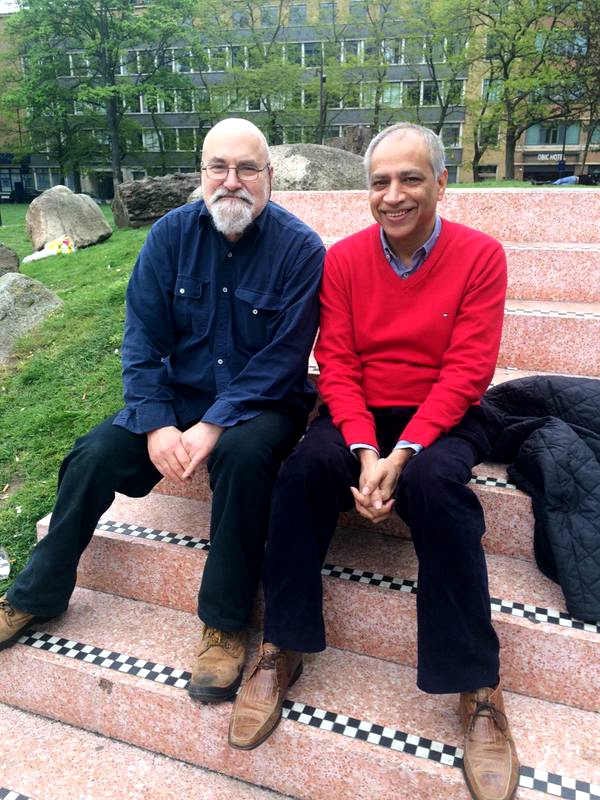
{
"id": 997,
"title": "Altab Ali Day",
"author": {
"id": 212,
"username": "AnsarAhmedUllah"
},
"feature": {
"id": 296,
"type": "Feature",
"geometry": {
"type": "MultiPolygon",
"coordinates": [
[
[
[
-0.069238538289603,
51.51610506120929
],
[
-0.069007097235987,
51.5162239535272
],
[
-0.068282200256798,
51.51654369745104
],
[
-0.068157401560378,
51.51641994527148
],
[
-0.067807959279103,
51.51600137496063
],
[
-0.068541180339468,
51.515783257348254
],
[
-0.068555919008956,
51.51580580160597
],
[
-0.068713893455475,
51.515872451567986
],
[
-0.068778503699218,
51.51586114158782
],
[
-0.068817146392177,
51.515922550138725
],
[
-0.068888047037903,
51.51596428315636
],
[
-0.069016085124709,
51.515921053627785
],
[
-0.069107698271647,
51.51601562404751
],
[
-0.069243279190738,
51.515974904669626
],
[
-0.069238538289603,
51.51610506120929
]
]
]
]
},
"properties": {
"b_number": "",
"b_name": "Altab Ali Park, including the site of the parish church of St Mary Matfelon",
"street": "Whitechapel Road",
"address": "Altab Ali Park",
"feature_type": "OPEN_SPACE",
"count": 32,
"search_str": "Altab Ali Park, including the site of the parish church of St Mary Matfelon"
},
"tags": []
},
"file": "https://surveyoflondon.org/media/uploads/features/1063/4%20may%202015.jpg",
"description": "Altab Ali Day in Altab Ali Park, Whitechapel 4 May 2015. Richard Humm, a local resident/activist and member of Cable Street Group on the left and Ansar Ahmed Ullah on the right.",
"copyright": true,
"created": "2018-01-06"
},
{
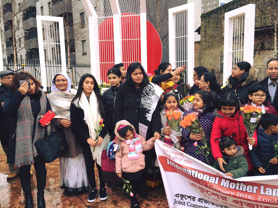
"id": 998,
"title": "Martyrs Day/International Mother Language Day",
"author": {
"id": 212,
"username": "AnsarAhmedUllah"
},
"feature": {
"id": 296,
"type": "Feature",
"geometry": {
"type": "MultiPolygon",
"coordinates": [
[
[
[
-0.069238538289603,
51.51610506120929
],
[
-0.069007097235987,
51.5162239535272
],
[
-0.068282200256798,
51.51654369745104
],
[
-0.068157401560378,
51.51641994527148
],
[
-0.067807959279103,
51.51600137496063
],
[
-0.068541180339468,
51.515783257348254
],
[
-0.068555919008956,
51.51580580160597
],
[
-0.068713893455475,
51.515872451567986
],
[
-0.068778503699218,
51.51586114158782
],
[
-0.068817146392177,
51.515922550138725
],
[
-0.068888047037903,
51.51596428315636
],
[
-0.069016085124709,
51.515921053627785
],
[
-0.069107698271647,
51.51601562404751
],
[
-0.069243279190738,
51.515974904669626
],
[
-0.069238538289603,
51.51610506120929
]
]
]
]
},
"properties": {
"b_number": "",
"b_name": "Altab Ali Park, including the site of the parish church of St Mary Matfelon",
"street": "Whitechapel Road",
"address": "Altab Ali Park",
"feature_type": "OPEN_SPACE",
"count": 32,
"search_str": "Altab Ali Park, including the site of the parish church of St Mary Matfelon"
},
"tags": []
},
"file": "https://surveyoflondon.org/media/uploads/features/1063/21%20Feb%2016.jpg%203.jpg",
"description": "21 February 2016, Altab Ali Park",
"copyright": true,
"created": "2018-01-06"
},
{
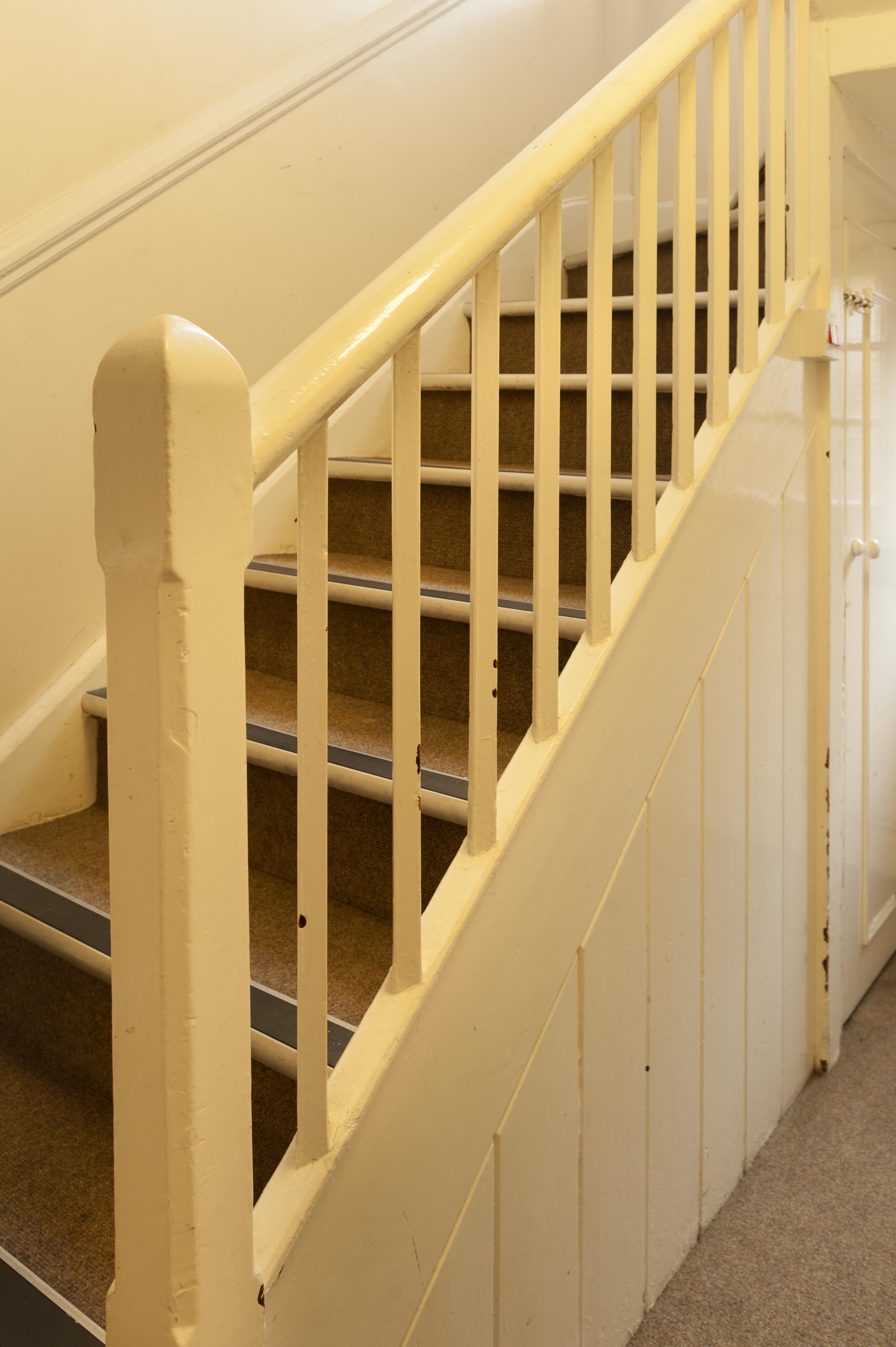
"id": 1442,
"title": "St Paul's School, staircase in former south schoolmaster's house, October 2018",
"author": {
"id": 27,
"username": "DerekKendall"
},
"feature": {
"id": 1399,
"type": "Feature",
"geometry": {
"type": "MultiPolygon",
"coordinates": [
[
[
[
-0.06624311370635,
51.51019072010641
],
[
-0.066077627531148,
51.510204269850675
],
[
-0.066069527116146,
51.510170337345684
],
[
-0.06611551384684,
51.51016638639934
],
[
-0.066109726117682,
51.51014703372793
],
[
-0.065814585354416,
51.5101673738921
],
[
-0.065821533323482,
51.51022330153386
],
[
-0.065683910471039,
51.51023360737856
],
[
-0.065657889334494,
51.51008339520407
],
[
-0.065349361164399,
51.51010853754948
],
[
-0.06532938777826,
51.510008209650636
],
[
-0.065633994165545,
51.509987653756085
],
[
-0.065620188745178,
51.50991765971934
],
[
-0.065722948991599,
51.50991121538507
],
[
-0.065716780377172,
51.509880881568165
],
[
-0.065901817537395,
51.50986765480321
],
[
-0.06593178354119,
51.50999605393065
],
[
-0.066038317356042,
51.509988508785376
],
[
-0.066023042932445,
51.50990918839897
],
[
-0.065998737156917,
51.50991111308007
],
[
-0.065980280001972,
51.50981894970597
],
[
-0.066320560006103,
51.50979200375635
],
[
-0.06632996113982,
51.50983401855985
],
[
-0.066268265775343,
51.50983881506029
],
[
-0.066265082872055,
51.50982597208467
],
[
-0.066214609325215,
51.509829790835916
],
[
-0.066234584593038,
51.50993011860635
],
[
-0.066179431061551,
51.509934441553284
],
[
-0.066189455574639,
51.5099837339709
],
[
-0.066197871962622,
51.509983000685985
],
[
-0.066205558541818,
51.510021498909204
],
[
-0.066199016557763,
51.510021972412325
],
[
-0.066209250254486,
51.51006632649741
],
[
-0.066216245469672,
51.51006615116071
],
[
-0.066221862792188,
51.51009851070753
],
[
-0.066214365136205,
51.51009954983773
],
[
-0.066220460291682,
51.51013162657133
],
[
-0.06623170678327,
51.51013006787535
],
[
-0.06624311370635,
51.51019072010641
]
]
]
]
},
"properties": {
"b_number": "",
"b_name": "St Paul's School",
"street": "Wellclose Square",
"address": "St Paul's School, Wellclose Square",
"feature_type": "WHITECHAPEL_BUILDING",
"count": 22,
"search_str": "St Paul's School"
},
"tags": [
"Rev. Dan Greatorex",
"Thomas F. Ford and Partners",
"Wilby & Burnett"
]
},
"file": "https://surveyoflondon.org/media/uploads/features/1399/SoL%20Whitechapel%20102337.jpg",
"description": "",
"copyright": true,
"created": "2018-11-13"
},
{
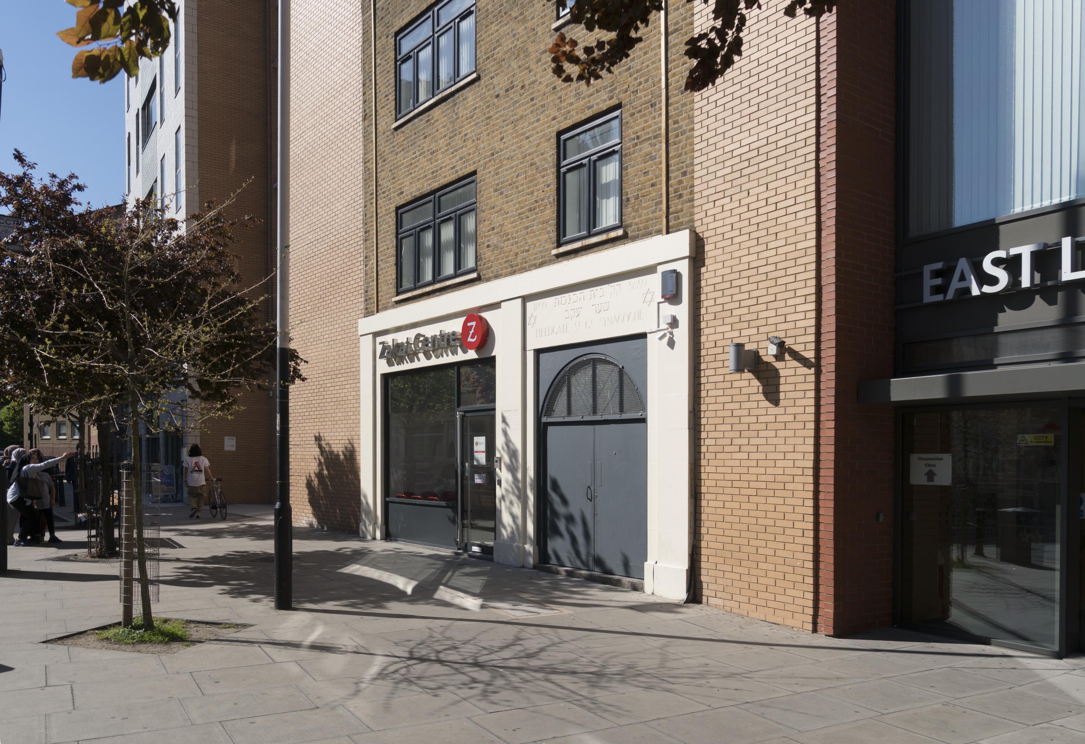
"id": 645,
"title": "Former Fieldgate Street Great Synagogue, April 2017",
"author": {
"id": 27,
"username": "DerekKendall"
},
"feature": {
"id": 837,
"type": "Feature",
"geometry": {
"type": "MultiPolygon",
"coordinates": [
[
[
[
-0.065533721939634,
51.51703253016194
],
[
-0.065646714781391,
51.517231659604
],
[
-0.065502188596495,
51.517268409638795
],
[
-0.065426771021086,
51.51704234602821
],
[
-0.065533721939634,
51.51703253016194
]
]
]
]
},
"properties": {
"b_number": "41",
"b_name": "Former Fieldgate Street Great Synagogue",
"street": "Fieldgate Street",
"address": "Former Fieldgate Street Great Synagogue, 41 Fieldgate Street",
"feature_type": "WHITECHAPEL_BUILDING",
"count": 16,
"search_str": "Former Fieldgate Street Great Synagogue"
},
"tags": [
"synagogue"
]
},
"file": "https://surveyoflondon.org/media/uploads/features/837/SoL%20Whitechapel%20100783.jpg",
"description": "",
"copyright": true,
"created": "2017-05-03"
},
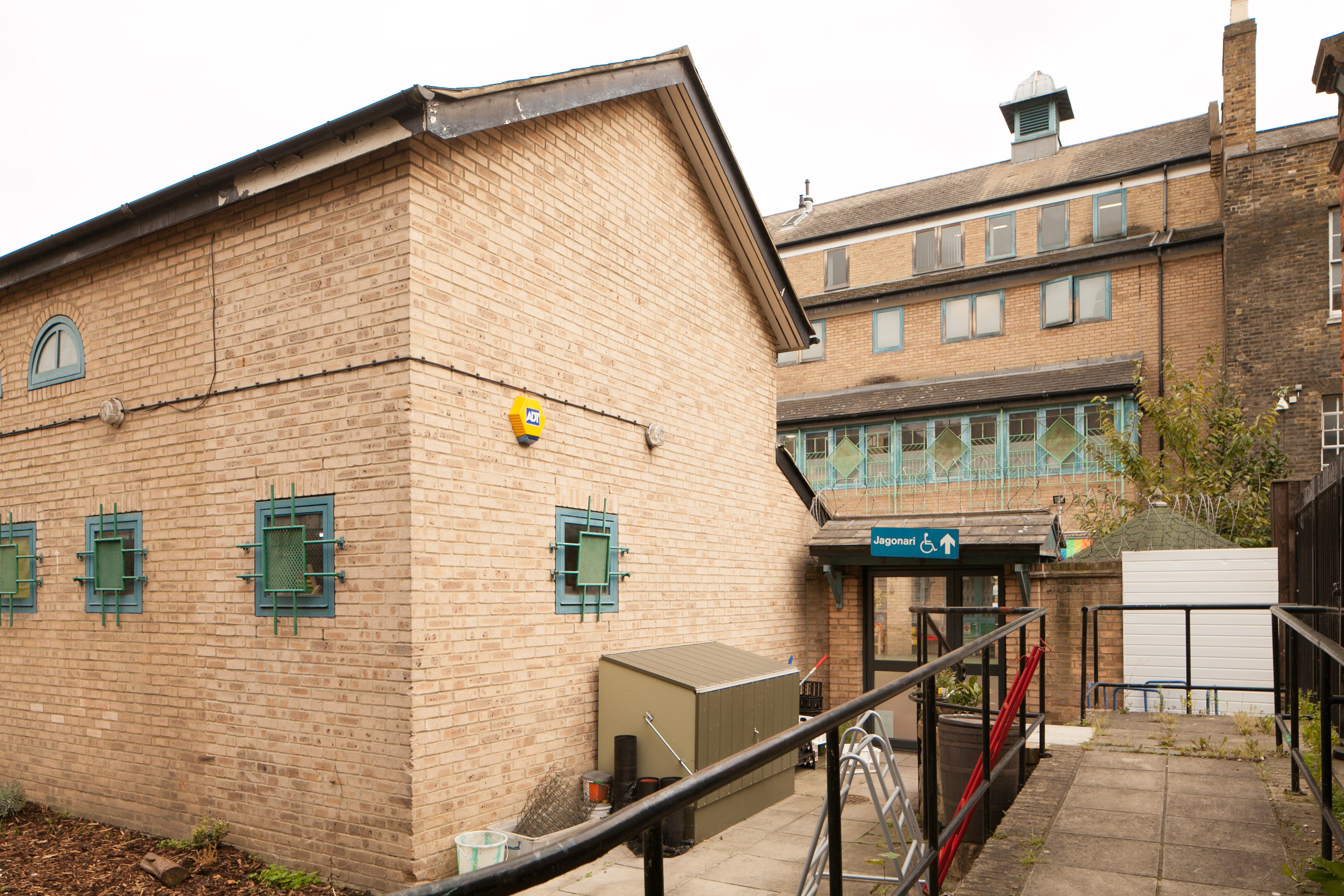
{
"id": 1078,
"title": "Jagonari Centre, view from the north in 2017",
"author": {
"id": 18,
"username": "shahedsaleem"
},
"feature": {
"id": 453,
"type": "Feature",
"geometry": {
"type": "MultiPolygon",
"coordinates": [
[
[
[
-0.06387175509906,
51.51844488660313
],
[
-0.063674757657848,
51.51849920648765
],
[
-0.063594819394982,
51.5183863647881
],
[
-0.063789009522268,
51.51833442643744
],
[
-0.06387175509906,
51.51844488660313
]
]
]
]
},
"properties": {
"b_number": "183-185",
"b_name": "Former Jagonari Women's Centre, 183-185 Whitechapel Road",
"street": "Whitechapel Road",
"address": "183-185 Whitechapel Road",
"feature_type": "WHITECHAPEL_BUILDING",
"count": 15,
"search_str": "Former Jagonari Women's Centre, 183-185 Whitechapel Road"
},
"tags": [
"GLC",
"Jagonari",
"Matrix",
"nursery"
]
},
"file": "https://surveyoflondon.org/media/uploads/features/453/IMG_4794_Okmn5c1.jpg",
"description": "",
"copyright": true,
"created": "2018-01-22"
},
{
"id": 988,
"title": "Interior space",
"author": {
"id": 209,
"username": "f.ciufo"
},
"feature": {
"id": 818,
"type": "Feature",
"geometry": {
"type": "MultiPolygon",
"coordinates": [
[
[
[
-0.062607619616584,
51.51670416137332
],
[
-0.062483026406764,
51.51671643673086
],
[
-0.062416117577308,
51.51644603963058
],
[
-0.062646625826437,
51.5164237357585
],
[
-0.062708051102108,
51.516691321509754
],
[
-0.062607619616584,
51.51670416137332
]
]
]
]
},
"properties": {
"b_number": "67-75",
"b_name": "Empire House",
"street": "New Road",
"address": "Empire House, 67-75 New Road",
"feature_type": "WHITECHAPEL_BUILDING",
"count": 9,
"search_str": "Empire House"
},
"tags": [
"H. Victor Kerr"
]
},
"file": "https://surveyoflondon.org/media/uploads/features/818/inside%20empire%20house%203.jpg",
"description": "View of the construction site taken 10 November 2017",
"copyright": false,
"created": "2017-12-11"
},
{
"id": 989,
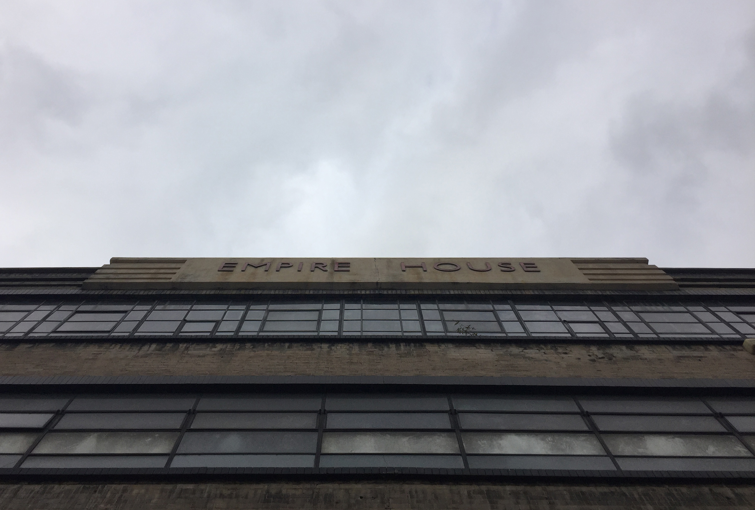
"title": "Facade detail",
"author": {
"id": 209,
"username": "f.ciufo"
},
"feature": {
"id": 818,
"type": "Feature",
"geometry": {
"type": "MultiPolygon",
"coordinates": [
[
[
[
-0.062607619616584,
51.51670416137332
],
[
-0.062483026406764,
51.51671643673086
],
[
-0.062416117577308,
51.51644603963058
],
[
-0.062646625826437,
51.5164237357585
],
[
-0.062708051102108,
51.516691321509754
],
[
-0.062607619616584,
51.51670416137332
]
]
]
]
},
"properties": {
"b_number": "67-75",
"b_name": "Empire House",
"street": "New Road",
"address": "Empire House, 67-75 New Road",
"feature_type": "WHITECHAPEL_BUILDING",
"count": 9,
"search_str": "Empire House"
},
"tags": [
"H. Victor Kerr"
]
},
"file": "https://surveyoflondon.org/media/uploads/features/818/facade%20empire%20house.jpg",
"description": "Photographed 21 November 2017",
"copyright": false,
"created": "2017-12-11"
},
{
"id": 1317,
"title": "2 Cable Street in 22018",
"author": {
"id": 27,
"username": "DerekKendall"
},
"feature": {
"id": 1367,
"type": "Feature",
"geometry": {
"type": "MultiPolygon",
"coordinates": [
[
[
[
-0.068280626941554,
51.51066731775845
],
[
-0.068304836027203,
51.51073531158041
],
[
-0.068245676894044,
51.510744647693585
],
[
-0.068229123218739,
51.51067344595373
],
[
-0.068280626941554,
51.51066731775845
]
]
]
]
},
"properties": {
"b_number": "2",
"b_name": "",
"street": "Cable Street",
"address": "2 Cable Street",
"feature_type": "WHITECHAPEL_BUILDING",
"count": 4,
"search_str": "2 Cable Street"
},
"tags": []
},
"file": "https://surveyoflondon.org/media/uploads/features/1367/SoL%20Whitechapel%20102071.jpg",
"description": "",
"copyright": true,
"created": "2018-08-13"
}
]
}