HTTP 200 OK
Allow: GET, HEAD, OPTIONS
Content-Type: application/json
Vary: Accept
{
"count": 1747,
"next": "https://surveyoflondon.org/api/v1/images/?format=api&page=45",
"previous": "https://surveyoflondon.org/api/v1/images/?format=api&page=43",
"results": [
{
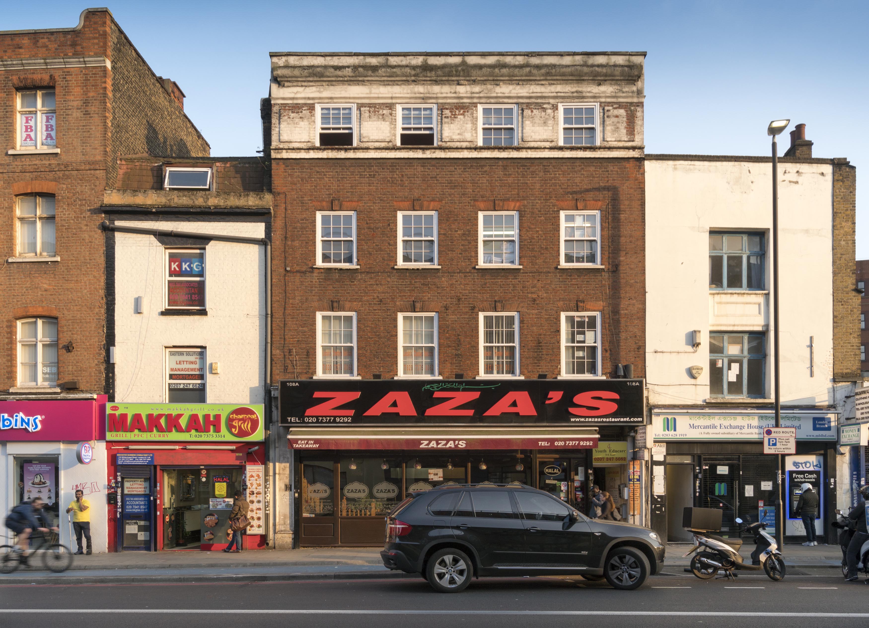
"id": 962,
"title": "108-110 Whitechapel Road in March 2017",
"author": {
"id": 27,
"username": "DerekKendall"
},
"feature": {
"id": 864,
"type": "Feature",
"geometry": {
"type": "MultiPolygon",
"coordinates": [
[
[
[
-0.064314324202243,
51.51788892990234
],
[
-0.064192707985004,
51.517929930470984
],
[
-0.064073733170691,
51.51777934541772
],
[
-0.064200709572794,
51.51774105943853
],
[
-0.064314324202243,
51.51788892990234
]
]
]
]
},
"properties": {
"b_number": "108A",
"b_name": "",
"street": "Whitechapel Road",
"address": "108A Whitechapel Road",
"feature_type": "WHITECHAPEL_BUILDING",
"count": 2,
"search_str": "108A Whitechapel Road"
},
"tags": []
},
"file": "https://surveyoflondon.org/media/uploads/features/864/SoL%20Whitechapel%20100748.jpg",
"description": "",
"copyright": true,
"created": "2017-11-30"
},
{
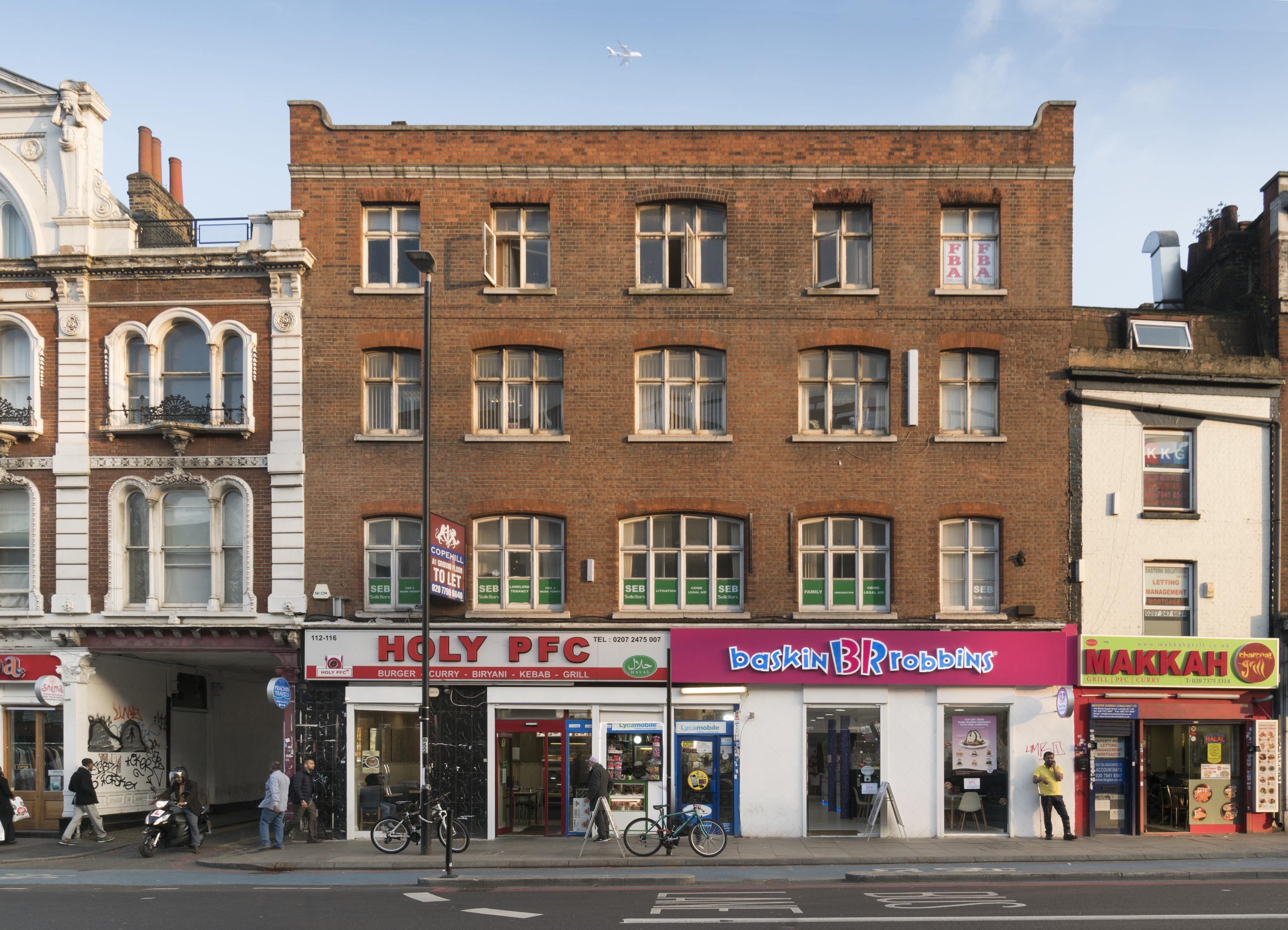
"id": 961,
"title": "112-116 Whitechapel Road in March 2017",
"author": {
"id": 27,
"username": "DerekKendall"
},
"feature": {
"id": 866,
"type": "Feature",
"geometry": {
"type": "MultiPolygon",
"coordinates": [
[
[
[
-0.064135190125051,
51.51794908678774
],
[
-0.063934479931201,
51.51800468952644
],
[
-0.06387727483069,
51.517913305450456
],
[
-0.063846725133516,
51.51786722967266
],
[
-0.063846725133504,
51.51786722967265
],
[
-0.064034120875779,
51.51780683996418
],
[
-0.064079246470249,
51.5178634777559
],
[
-0.0640657701046,
51.51786801285575
],
[
-0.064103817796639,
51.517912447858286
],
[
-0.064135190125051,
51.51794908678774
]
]
]
]
},
"properties": {
"b_number": "112-116",
"b_name": "",
"street": "Whitechapel Road",
"address": "112-116 Whitechapel Road",
"feature_type": "WHITECHAPEL_BUILDING",
"count": 2,
"search_str": "112-116 Whitechapel Road"
},
"tags": []
},
"file": "https://surveyoflondon.org/media/uploads/features/866/SoL%20Whitechapel%20100749.jpg",
"description": "",
"copyright": true,
"created": "2017-11-30"
},
{
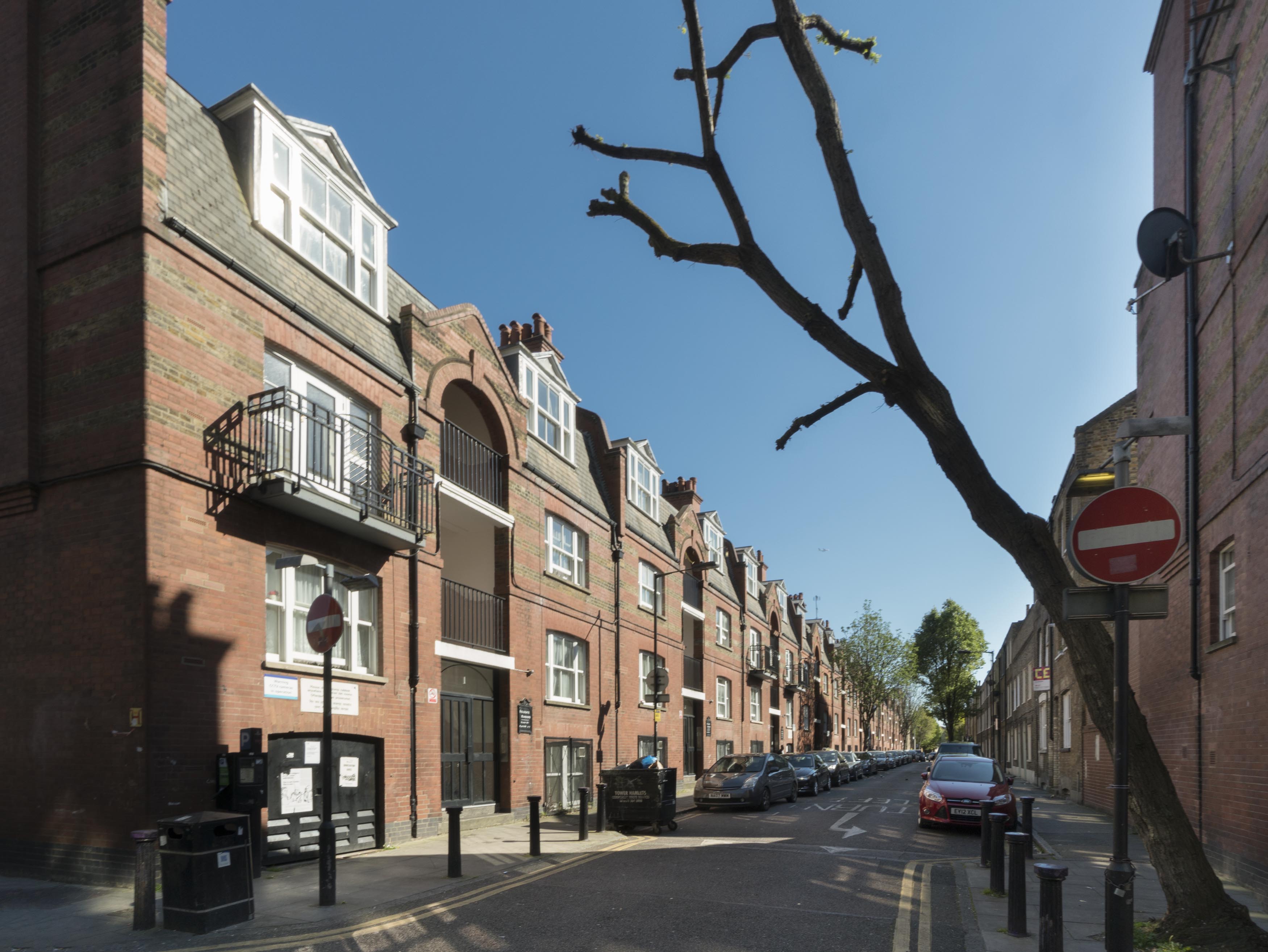
"id": 969,
"title": "Myrdle Street's east side from the north in March 2017",
"author": {
"id": 27,
"username": "DerekKendall"
},
"feature": {
"id": 702,
"type": "Feature",
"geometry": {
"type": "MultiPolygon",
"coordinates": [
[
[
[
-0.063309229819482,
51.516979932356605
],
[
-0.063422732686526,
51.516967033894076
],
[
-0.06344591791144,
51.517064226228214
],
[
-0.063332831226254,
51.517077296906365
],
[
-0.063309229819482,
51.516979932356605
]
]
]
]
},
"properties": {
"b_number": "1",
"b_name": "Fieldgate Mansions",
"street": "Myrdle Street",
"address": "Fieldgate Mansions, Myrdle Street",
"feature_type": "WHITECHAPEL_BUILDING",
"count": 6,
"search_str": "Fieldgate Mansions"
},
"tags": [
"Davis Brothers",
"Rowland Plumbe"
]
},
"file": "https://surveyoflondon.org/media/uploads/features/702/SoL%20Whitechapel%20100791.jpg",
"description": "",
"copyright": true,
"created": "2017-11-30"
},
{
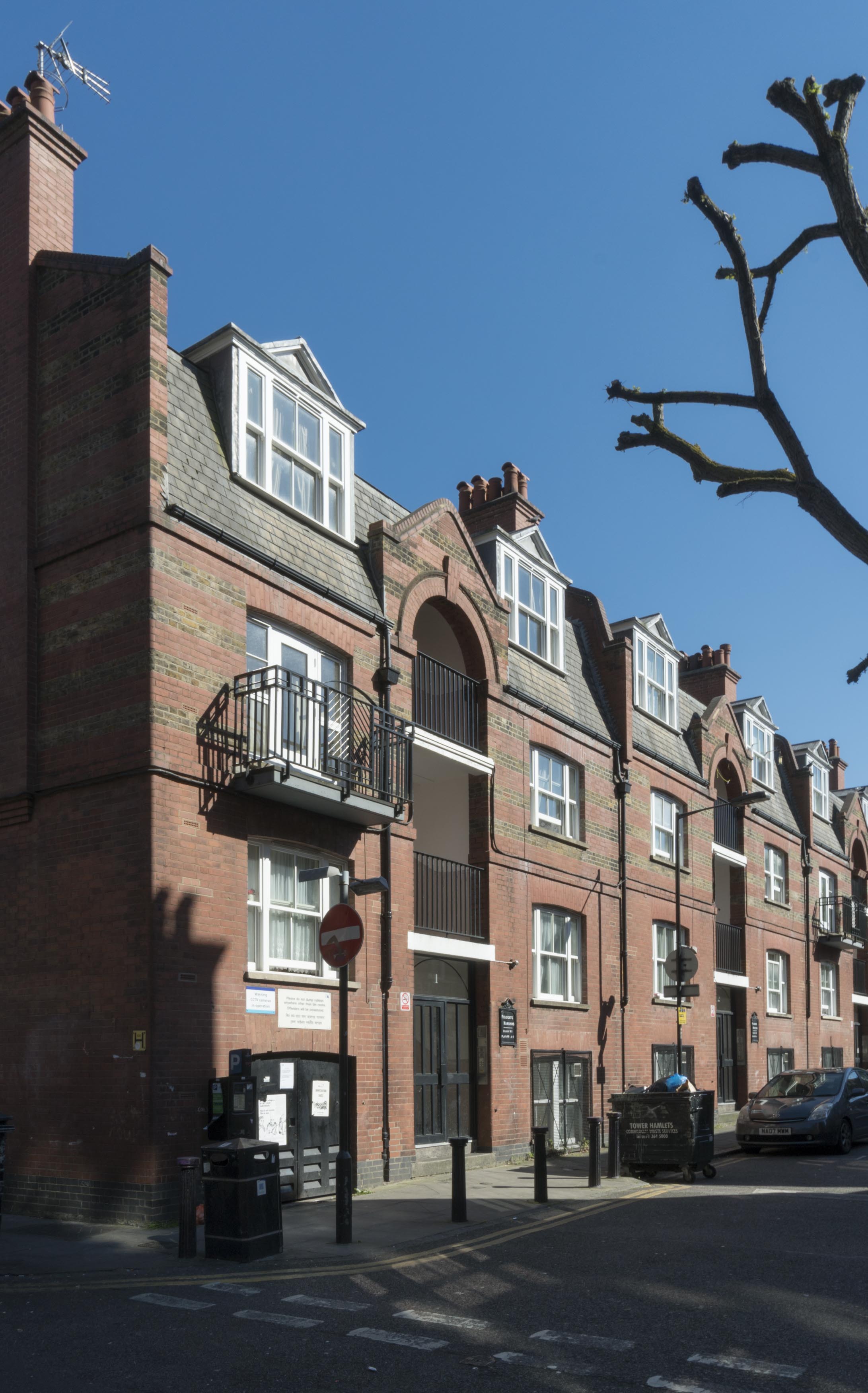
"id": 970,
"title": "1 and 2 Fieldgate Mansions, Myrdle Street in March 2017",
"author": {
"id": 27,
"username": "DerekKendall"
},
"feature": {
"id": 702,
"type": "Feature",
"geometry": {
"type": "MultiPolygon",
"coordinates": [
[
[
[
-0.063309229819482,
51.516979932356605
],
[
-0.063422732686526,
51.516967033894076
],
[
-0.06344591791144,
51.517064226228214
],
[
-0.063332831226254,
51.517077296906365
],
[
-0.063309229819482,
51.516979932356605
]
]
]
]
},
"properties": {
"b_number": "1",
"b_name": "Fieldgate Mansions",
"street": "Myrdle Street",
"address": "Fieldgate Mansions, Myrdle Street",
"feature_type": "WHITECHAPEL_BUILDING",
"count": 6,
"search_str": "Fieldgate Mansions"
},
"tags": [
"Davis Brothers",
"Rowland Plumbe"
]
},
"file": "https://surveyoflondon.org/media/uploads/features/702/SoL%20Whitechapel%20100793.jpg",
"description": "",
"copyright": true,
"created": "2017-11-30"
},
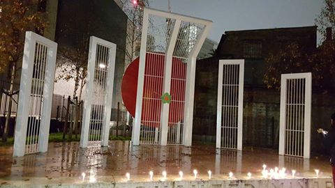
{
"id": 1039,
"title": "Shahid Minar",
"author": {
"id": 212,
"username": "AnsarAhmedUllah"
},
"feature": {
"id": 297,
"type": "Feature",
"geometry": {
"type": "MultiPolygon",
"coordinates": [
[
[
[
-0.068579013646325,
51.515806570966184
],
[
-0.068603236589372,
51.51579314242831
],
[
-0.068627932264343,
51.51578224735277
],
[
-0.068654968080886,
51.51577953902627
],
[
-0.068682395518699,
51.51578437002237
],
[
-0.068705925916716,
51.51579002894806
],
[
-0.068726713830396,
51.51580349912936
],
[
-0.068739060046585,
51.51582658529491
],
[
-0.068732341766045,
51.51585134703015
],
[
-0.068717700191129,
51.515864899109616
],
[
-0.068579013646325,
51.515806570966184
]
]
]
]
},
"properties": {
"b_number": "",
"b_name": "Shaheed Minar",
"street": "Whitechapel Road",
"address": "Shaheed Minar, Altab Ali Park",
"feature_type": "WHITECHAPEL_BUILDING",
"count": 5,
"search_str": "Shaheed Minar"
},
"tags": [
"monument"
]
},
"file": "https://surveyoflondon.org/media/uploads/features/297/saiful%20islam%20mithu.jpg",
"description": "Photo: Saiful Islam Mithu",
"copyright": true,
"created": "2018-01-15"
},
{
"id": 1423,
"title": "Former Church House, south elevation from the west in October 2018",
"author": {
"id": 27,
"username": "DerekKendall"
},
"feature": {
"id": 1398,
"type": "Feature",
"geometry": {
"type": "MultiPolygon",
"coordinates": [
[
[
[
-0.06617795318375,
51.51038731673777
],
[
-0.065912350489888,
51.51041084290673
],
[
-0.06588610031897,
51.51032669039412
],
[
-0.066162776826975,
51.51030567245064
],
[
-0.06617795318375,
51.51038731673777
]
]
]
]
},
"properties": {
"b_number": "",
"b_name": "St Paul's School Mission Room and Infant Nursery (later used as Church House)",
"street": "Wellclose Square",
"address": "St Paul's School Mission Room and Infant Nursery",
"feature_type": "WHITECHAPEL_BUILDING",
"count": 11,
"search_str": "St Paul's School Mission Room and Infant Nursery (later used as Church House)"
},
"tags": []
},
"file": "https://surveyoflondon.org/media/uploads/features/1398/SoL%20Whitechapel%20102305.jpg",
"description": "",
"copyright": true,
"created": "2018-11-13"
},
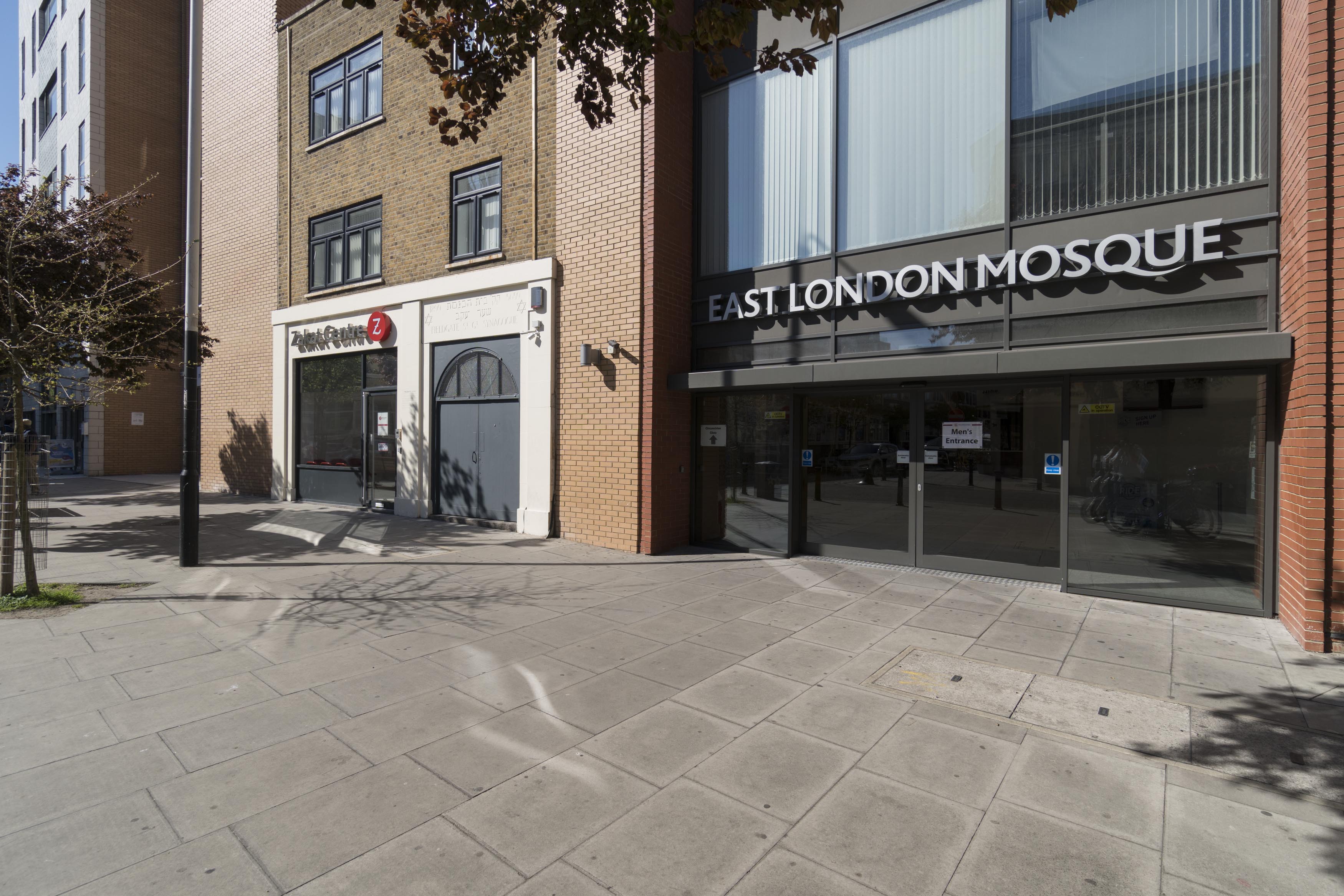
{
"id": 965,
"title": "The East London Mosque's Fieldgate Street entrance, former synagogue beyond, in March 2017",
"author": {
"id": 27,
"username": "DerekKendall"
},
"feature": {
"id": 872,
"type": "Feature",
"geometry": {
"type": "MultiPolygon",
"coordinates": [
[
[
[
-0.065426771021098,
51.51704234602821
],
[
-0.065464443868316,
51.517155270102215
],
[
-0.065368160478363,
51.51726758221675
],
[
-0.065206797940889,
51.517271937377565
],
[
-0.065192844158614,
51.5172887543577
],
[
-0.064985360511605,
51.517221208532895
],
[
-0.064977352772341,
51.51702559498146
],
[
-0.065199247060328,
51.51702205891763
],
[
-0.065213748175133,
51.51704069897616
],
[
-0.065426771021098,
51.51704234602821
]
]
]
]
},
"properties": {
"b_number": "",
"b_name": "",
"street": "Fieldgate Street",
"address": "Maryam Centre, East London Mosque, Fieldgate Street",
"feature_type": "WHITECHAPEL_BUILDING",
"count": 6,
"search_str": "Maryam Centre, East London Mosque, Fieldgate Street"
},
"tags": []
},
"file": "https://surveyoflondon.org/media/uploads/features/872/SoL%20Whitechapel%20100782.jpg",
"description": "",
"copyright": true,
"created": "2017-11-30"
},
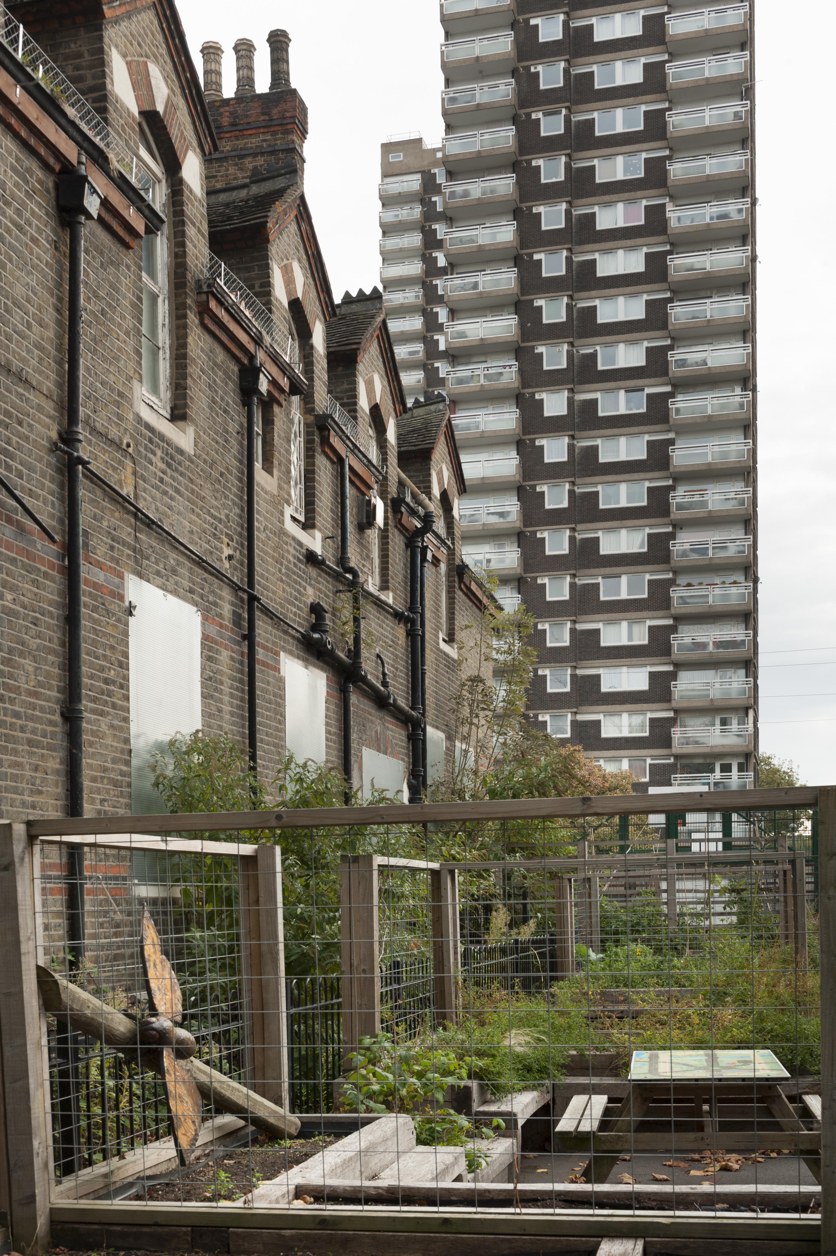
{
"id": 990,
"title": "Gwynne House ",
"author": {
"id": 209,
"username": "f.ciufo"
},
"feature": {
"id": 1167,
"type": "Feature",
"geometry": {
"type": "MultiPolygon",
"coordinates": [
[
[
[
-0.061202658412951,
51.51719574435803
],
[
-0.061079306347624,
51.517207329101645
],
[
-0.061069199583201,
51.51716543919934
],
[
-0.06101193415403,
51.517170817215984
],
[
-0.061003155763681,
51.51716934564466
],
[
-0.060996103082444,
51.51716563437471
],
[
-0.060993244898833,
51.51716109482402
],
[
-0.060992481314744,
51.51715643997487
],
[
-0.060993400756275,
51.517151902171804
],
[
-0.06099534354228,
51.51714833843544
],
[
-0.060997956097902,
51.51714503825175
],
[
-0.061004341447847,
51.51714210593221
],
[
-0.061009647790809,
51.517139669120326
],
[
-0.061022544587713,
51.517137757001514
],
[
-0.061059918868378,
51.517132215801325
],
[
-0.061029644233656,
51.516996130234475
],
[
-0.061156522910844,
51.51698514293202
],
[
-0.061202658412951,
51.51719574435803
]
]
]
]
},
"properties": {
"b_number": "",
"b_name": "",
"street": "Turner Street",
"address": "Gwynne House",
"feature_type": "WHITECHAPEL_BUILDING",
"count": 7,
"search_str": "Gwynne House"
},
"tags": []
},
"file": "https://surveyoflondon.org/media/uploads/features/1167/gwynne%20house.jpg",
"description": "The view west along Newark Street from Turner Street, with Gwynne House, right, and the hospital Blizard building, left, 21 November 2017",
"copyright": false,
"created": "2017-12-11"
},
{
"id": 987,
"title": "Inside space",
"author": {
"id": 209,
"username": "f.ciufo"
},
"feature": {
"id": 818,
"type": "Feature",
"geometry": {
"type": "MultiPolygon",
"coordinates": [
[
[
[
-0.062607619616584,
51.51670416137332
],
[
-0.062483026406764,
51.51671643673086
],
[
-0.062416117577308,
51.51644603963058
],
[
-0.062646625826437,
51.5164237357585
],
[
-0.062708051102108,
51.516691321509754
],
[
-0.062607619616584,
51.51670416137332
]
]
]
]
},
"properties": {
"b_number": "67-75",
"b_name": "Empire House",
"street": "New Road",
"address": "Empire House, 67-75 New Road",
"feature_type": "WHITECHAPEL_BUILDING",
"count": 9,
"search_str": "Empire House"
},
"tags": [
"H. Victor Kerr"
]
},
"file": "https://surveyoflondon.org/media/uploads/features/818/inside%20empire%20house.jpg",
"description": "View into the construction site, 10 November 2017",
"copyright": false,
"created": "2017-12-11"
},
{
"id": 736,
"title": "Aunty Molly outside Brady Street Dwellings",
"author": {
"id": 181,
"username": "mick"
},
"feature": {
"id": 611,
"type": "Feature",
"geometry": {
"type": "MultiPolygon",
"coordinates": [
[
[
[
-0.061071171968994,
51.52081854756523
],
[
-0.060751914384132,
51.520910345673705
],
[
-0.060670800177771,
51.520804404847986
],
[
-0.060468455213489,
51.52086122248221
],
[
-0.060450699740395,
51.52083834953325
],
[
-0.060348963469709,
51.52086716970229
],
[
-0.060327054268411,
51.52084002855742
],
[
-0.060218088338048,
51.52087362145146
],
[
-0.060181870551264,
51.52082767044763
],
[
-0.059888941340425,
51.5209177401419
],
[
-0.059906837511582,
51.520944348074295
],
[
-0.059794155620414,
51.52097953029167
],
[
-0.059832243956796,
51.521028790808174
],
[
-0.059621239031678,
51.52108457365709
],
[
-0.059750656156039,
51.521261628315195
],
[
-0.060092261050819,
51.521162518995624
],
[
-0.060201267294625,
51.5213109827491
],
[
-0.059711284021543,
51.521455446025634
],
[
-0.059608494153443,
51.52131130869682
],
[
-0.059508393196664,
51.521340050168135
],
[
-0.059253117703057,
51.52099166668332
],
[
-0.059256033768267,
51.5209595242491
],
[
-0.059159886666936,
51.520817675044256
],
[
-0.059263515528805,
51.520783743654874
],
[
-0.059005942108209,
51.52046133162211
],
[
-0.059340108320742,
51.520363660572684
],
[
-0.059350977165626,
51.520379010450526
],
[
-0.059653760593448,
51.52029256187745
],
[
-0.059732700862836,
51.52040478191169
],
[
-0.059399004206541,
51.520507265410146
],
[
-0.059386008017351,
51.52050099774739
],
[
-0.059330111279166,
51.52051942249526
],
[
-0.059427473319942,
51.520650551502136
],
[
-0.059335113114943,
51.52067740335036
],
[
-0.059393880270447,
51.52075719296283
],
[
-0.059578966698866,
51.52070547069434
],
[
-0.059521505013312,
51.5206204479455
],
[
-0.059633019030968,
51.52058917356787
],
[
-0.05965569761926,
51.52061535612946
],
[
-0.059758050698807,
51.52058539506149
],
[
-0.059784825395434,
51.520617287071275
],
[
-0.059896250945807,
51.520586175310825
],
[
-0.059905010512797,
51.5206001008183
],
[
-0.060207891820099,
51.520512562603464
],
[
-0.060152819128302,
51.52043377382353
],
[
-0.060255799218263,
51.520404384952066
],
[
-0.060243948876997,
51.520387831372716
],
[
-0.060374285949892,
51.52035112116383
],
[
-0.06040163767932,
51.52038826992398
],
[
-0.060493821347423,
51.520361732013576
],
[
-0.060585729284775,
51.52048450453705
],
[
-0.060667847773396,
51.520461046936504
],
[
-0.060740712007704,
51.520573214734334
],
[
-0.060789668351451,
51.52055928381185
],
[
-0.060862533037535,
51.52067145153698
],
[
-0.060908498405939,
51.52065859991671
],
[
-0.06094600415928,
51.52070981388415
],
[
-0.060904572245245,
51.52072152762277
],
[
-0.060915563003104,
51.5207389782457
],
[
-0.06100155865022,
51.52071591478786
],
[
-0.061071171968994,
51.52081854756523
]
]
]
]
},
"properties": {
"b_number": "",
"b_name": "Swanlea Secondary School",
"street": "Brady Street",
"address": "Swanlea Secondary School, Brady Street and Durward Street",
"feature_type": "WHITECHAPEL_BUILDING",
"count": 20,
"search_str": "Swanlea Secondary School"
},
"tags": []
},
"file": "https://surveyoflondon.org/media/uploads/features/611/scan%20443.jpg",
"description": "Albion Brewery in the background, where my dad worked.",
"copyright": false,
"created": "2017-08-09"
},
{
"id": 971,
"title": "View along Fieldgate Street looking east, March 2017",
"author": {
"id": 27,
"username": "DerekKendall"
},
"feature": {
"id": 840,
"type": "Feature",
"geometry": {
"type": "MultiPolygon",
"coordinates": [
[
[
[
-0.063631886624081,
51.517138950576246
],
[
-0.063668493477288,
51.517259175712894
],
[
-0.063670437423206,
51.517306208245834
],
[
-0.063554648179843,
51.51732290860081
],
[
-0.063511558586676,
51.517153395677255
],
[
-0.063631886624081,
51.517138950576246
]
]
]
]
},
"properties": {
"b_number": "83",
"b_name": "",
"street": "Fieldgate Street",
"address": "Tayyabs (former Queen's Head public house), 83 Fieldgate Street",
"feature_type": "WHITECHAPEL_BUILDING",
"count": 8,
"search_str": "Tayyabs (former Queen's Head public house), 83 Fieldgate Street"
},
"tags": []
},
"file": "https://surveyoflondon.org/media/uploads/features/840/SoL%20Whitechapel%20100788.jpg",
"description": "",
"copyright": true,
"created": "2017-11-30"
},
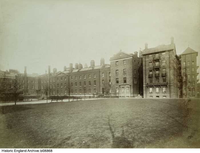
{
"id": 352,
"title": "View across the rear garden of the London Hospital towards the east wing (demolished) in 1887",
"author": {
"id": 37,
"username": "HistoricEngland"
},
"feature": {
"id": 1230,
"type": "Feature",
"geometry": {
"type": "MultiPolygon",
"coordinates": [
[
[
[
-0.06071898744648,
51.51847914149303
],
[
-0.060743358937849,
51.518529899918775
],
[
-0.060362148562617,
51.518618013153
],
[
-0.060404024127419,
51.51868851949335
],
[
-0.060356952993906,
51.51869974522794
],
[
-0.060399234817198,
51.51877056309998
],
[
-0.060042469531136,
51.5188530372297
],
[
-0.060006551123239,
51.51879256032364
],
[
-0.05997171006068,
51.51880061452483
],
[
-0.059923949522789,
51.51872019830377
],
[
-0.059602716389847,
51.51879445706454
],
[
-0.059631951693606,
51.51884368227145
],
[
-0.059135089420495,
51.51895853862307
],
[
-0.059031394281591,
51.51878393727422
],
[
-0.059075483581288,
51.51877374555587
],
[
-0.05923306113512,
51.518737319626666
],
[
-0.059261815633844,
51.518785736083466
],
[
-0.059453095208379,
51.51874286661955
],
[
-0.059437777096903,
51.51871791341666
],
[
-0.059509844762857,
51.518701022201654
],
[
-0.059472510825189,
51.51863713193043
],
[
-0.059893693119402,
51.51853565124978
],
[
-0.059897251108141,
51.51854177905041
],
[
-0.060406197614306,
51.5184267554985
],
[
-0.060388475186227,
51.51839623334771
],
[
-0.060226549751936,
51.51811735804654
],
[
-0.060490662909997,
51.51805857683586
],
[
-0.060500593175314,
51.518078725457706
],
[
-0.06071898744648,
51.51847914149303
]
]
]
]
},
"properties": {
"b_number": "",
"b_name": "Former Royal London Hospital",
"street": "",
"address": "Former Royal London Hospital ",
"feature_type": "WHITECHAPEL_BUILDING",
"count": 53,
"search_str": "Former Royal London Hospital"
},
"tags": []
},
"file": "https://surveyoflondon.org/media/uploads/features/1230/bl06868.jpg",
"description": "Photograph by Bedford Lemere, reproduced by permission of the Historic England Archive (see archive.HistoricEngland.org.uk). ",
"copyright": true,
"created": "2016-09-05"
},
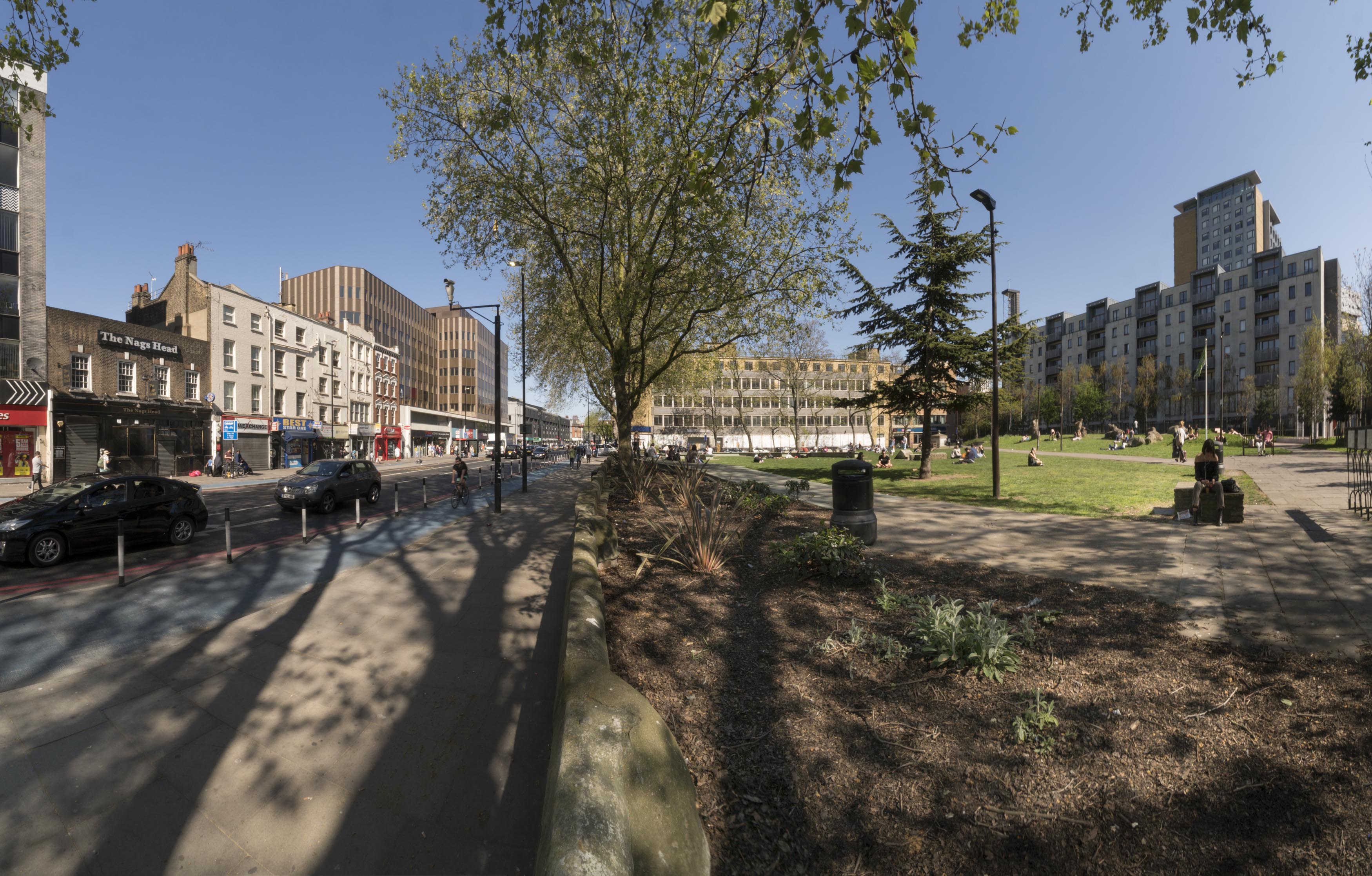
{
"id": 604,
"title": "Altab Ali Park, northern section from the west in April 2017",
"author": {
"id": 27,
"username": "DerekKendall"
},
"feature": {
"id": 296,
"type": "Feature",
"geometry": {
"type": "MultiPolygon",
"coordinates": [
[
[
[
-0.069238538289603,
51.51610506120929
],
[
-0.069007097235987,
51.5162239535272
],
[
-0.068282200256798,
51.51654369745104
],
[
-0.068157401560378,
51.51641994527148
],
[
-0.067807959279103,
51.51600137496063
],
[
-0.068541180339468,
51.515783257348254
],
[
-0.068555919008956,
51.51580580160597
],
[
-0.068713893455475,
51.515872451567986
],
[
-0.068778503699218,
51.51586114158782
],
[
-0.068817146392177,
51.515922550138725
],
[
-0.068888047037903,
51.51596428315636
],
[
-0.069016085124709,
51.515921053627785
],
[
-0.069107698271647,
51.51601562404751
],
[
-0.069243279190738,
51.515974904669626
],
[
-0.069238538289603,
51.51610506120929
]
]
]
]
},
"properties": {
"b_number": "",
"b_name": "Altab Ali Park, including the site of the parish church of St Mary Matfelon",
"street": "Whitechapel Road",
"address": "Altab Ali Park",
"feature_type": "OPEN_SPACE",
"count": 32,
"search_str": "Altab Ali Park, including the site of the parish church of St Mary Matfelon"
},
"tags": []
},
"file": "https://surveyoflondon.org/media/uploads/features/296/SoL%20Whitechapel%20100689.jpg",
"description": "",
"copyright": true,
"created": "2017-05-03"
},
{
"id": 737,
"title": "Nana and mum outside Brady Street Dwellings",
"author": {
"id": 181,
"username": "mick"
},
"feature": {
"id": 611,
"type": "Feature",
"geometry": {
"type": "MultiPolygon",
"coordinates": [
[
[
[
-0.061071171968994,
51.52081854756523
],
[
-0.060751914384132,
51.520910345673705
],
[
-0.060670800177771,
51.520804404847986
],
[
-0.060468455213489,
51.52086122248221
],
[
-0.060450699740395,
51.52083834953325
],
[
-0.060348963469709,
51.52086716970229
],
[
-0.060327054268411,
51.52084002855742
],
[
-0.060218088338048,
51.52087362145146
],
[
-0.060181870551264,
51.52082767044763
],
[
-0.059888941340425,
51.5209177401419
],
[
-0.059906837511582,
51.520944348074295
],
[
-0.059794155620414,
51.52097953029167
],
[
-0.059832243956796,
51.521028790808174
],
[
-0.059621239031678,
51.52108457365709
],
[
-0.059750656156039,
51.521261628315195
],
[
-0.060092261050819,
51.521162518995624
],
[
-0.060201267294625,
51.5213109827491
],
[
-0.059711284021543,
51.521455446025634
],
[
-0.059608494153443,
51.52131130869682
],
[
-0.059508393196664,
51.521340050168135
],
[
-0.059253117703057,
51.52099166668332
],
[
-0.059256033768267,
51.5209595242491
],
[
-0.059159886666936,
51.520817675044256
],
[
-0.059263515528805,
51.520783743654874
],
[
-0.059005942108209,
51.52046133162211
],
[
-0.059340108320742,
51.520363660572684
],
[
-0.059350977165626,
51.520379010450526
],
[
-0.059653760593448,
51.52029256187745
],
[
-0.059732700862836,
51.52040478191169
],
[
-0.059399004206541,
51.520507265410146
],
[
-0.059386008017351,
51.52050099774739
],
[
-0.059330111279166,
51.52051942249526
],
[
-0.059427473319942,
51.520650551502136
],
[
-0.059335113114943,
51.52067740335036
],
[
-0.059393880270447,
51.52075719296283
],
[
-0.059578966698866,
51.52070547069434
],
[
-0.059521505013312,
51.5206204479455
],
[
-0.059633019030968,
51.52058917356787
],
[
-0.05965569761926,
51.52061535612946
],
[
-0.059758050698807,
51.52058539506149
],
[
-0.059784825395434,
51.520617287071275
],
[
-0.059896250945807,
51.520586175310825
],
[
-0.059905010512797,
51.5206001008183
],
[
-0.060207891820099,
51.520512562603464
],
[
-0.060152819128302,
51.52043377382353
],
[
-0.060255799218263,
51.520404384952066
],
[
-0.060243948876997,
51.520387831372716
],
[
-0.060374285949892,
51.52035112116383
],
[
-0.06040163767932,
51.52038826992398
],
[
-0.060493821347423,
51.520361732013576
],
[
-0.060585729284775,
51.52048450453705
],
[
-0.060667847773396,
51.520461046936504
],
[
-0.060740712007704,
51.520573214734334
],
[
-0.060789668351451,
51.52055928381185
],
[
-0.060862533037535,
51.52067145153698
],
[
-0.060908498405939,
51.52065859991671
],
[
-0.06094600415928,
51.52070981388415
],
[
-0.060904572245245,
51.52072152762277
],
[
-0.060915563003104,
51.5207389782457
],
[
-0.06100155865022,
51.52071591478786
],
[
-0.061071171968994,
51.52081854756523
]
]
]
]
},
"properties": {
"b_number": "",
"b_name": "Swanlea Secondary School",
"street": "Brady Street",
"address": "Swanlea Secondary School, Brady Street and Durward Street",
"feature_type": "WHITECHAPEL_BUILDING",
"count": 20,
"search_str": "Swanlea Secondary School"
},
"tags": []
},
"file": "https://surveyoflondon.org/media/uploads/features/611/scan%205%20-%20Copy%20(2).jpg",
"description": "",
"copyright": false,
"created": "2017-08-09"
},
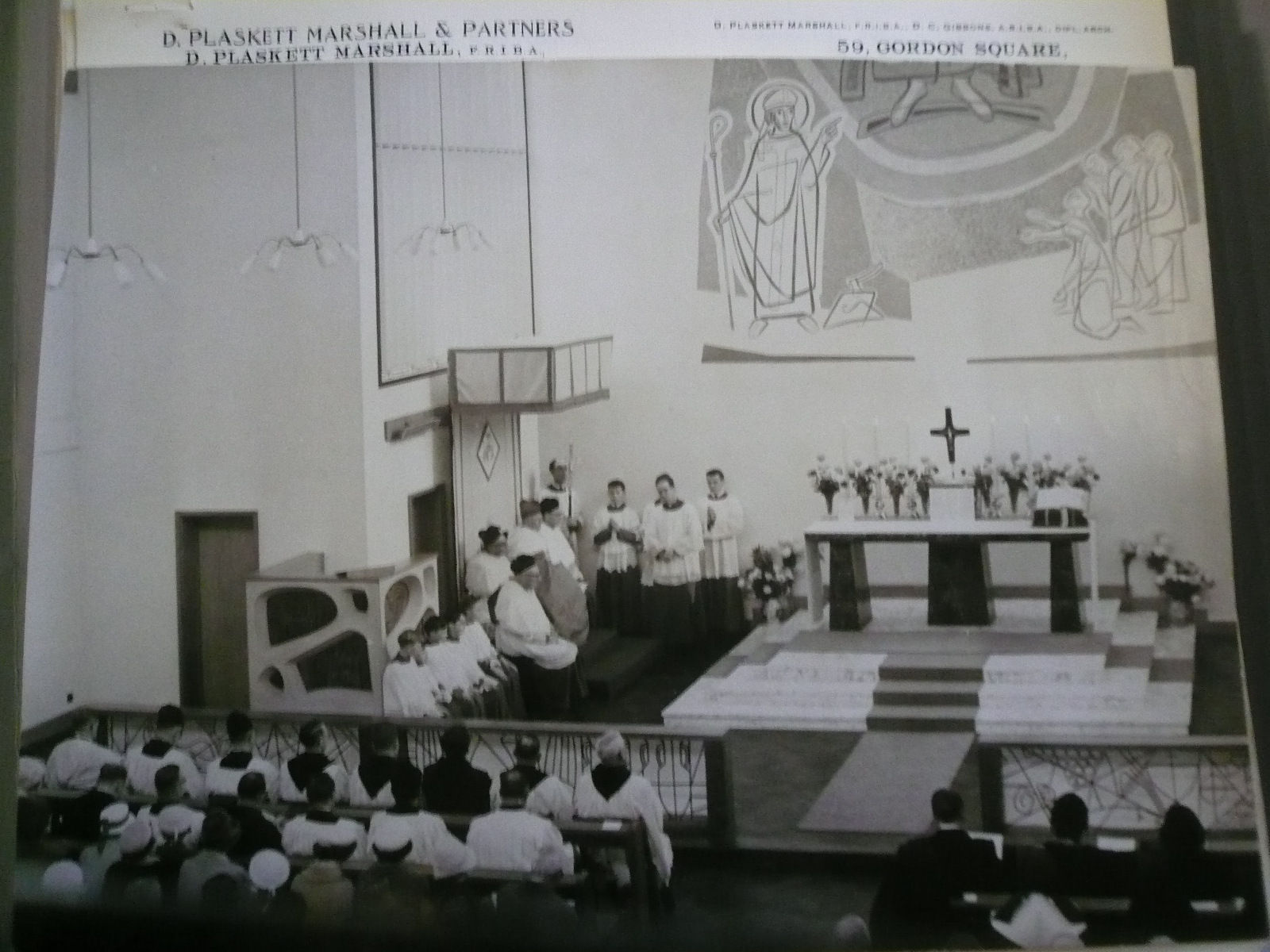
{
"id": 493,
"title": "St Boniface RC Church, service in 1960",
"author": {
"id": 94,
"username": "StBonifaceWhitechapel"
},
"feature": {
"id": 308,
"type": "Feature",
"geometry": {
"type": "MultiPolygon",
"coordinates": [
[
[
[
-0.067496567815311,
51.51589253877067
],
[
-0.067329816922355,
51.51592882147948
],
[
-0.067313994004403,
51.515903740519775
],
[
-0.067285655221522,
51.51591108028059
],
[
-0.067273890464753,
51.51588586669939
],
[
-0.067248552659892,
51.51589046902255
],
[
-0.067167351332256,
51.515743576397455
],
[
-0.067193642426533,
51.51573542676791
],
[
-0.06717129258716,
51.51569502690211
],
[
-0.067371819133296,
51.51564515293278
],
[
-0.067482004602165,
51.515831045103695
],
[
-0.067463735896854,
51.51583606330445
],
[
-0.067496567815311,
51.51589253877067
]
]
]
]
},
"properties": {
"b_number": "47",
"b_name": "",
"street": "Adler Street",
"address": "St Boniface German Church, 47 Adler Street",
"feature_type": "WHITECHAPEL_BUILDING",
"count": 14,
"search_str": "St Boniface German Church, 47 Adler Street"
},
"tags": [
"Catholic Church",
"Germans"
]
},
"file": "https://surveyoflondon.org/media/uploads/features/308/P1180829.JPG",
"description": "",
"copyright": true,
"created": "2017-01-30"
},
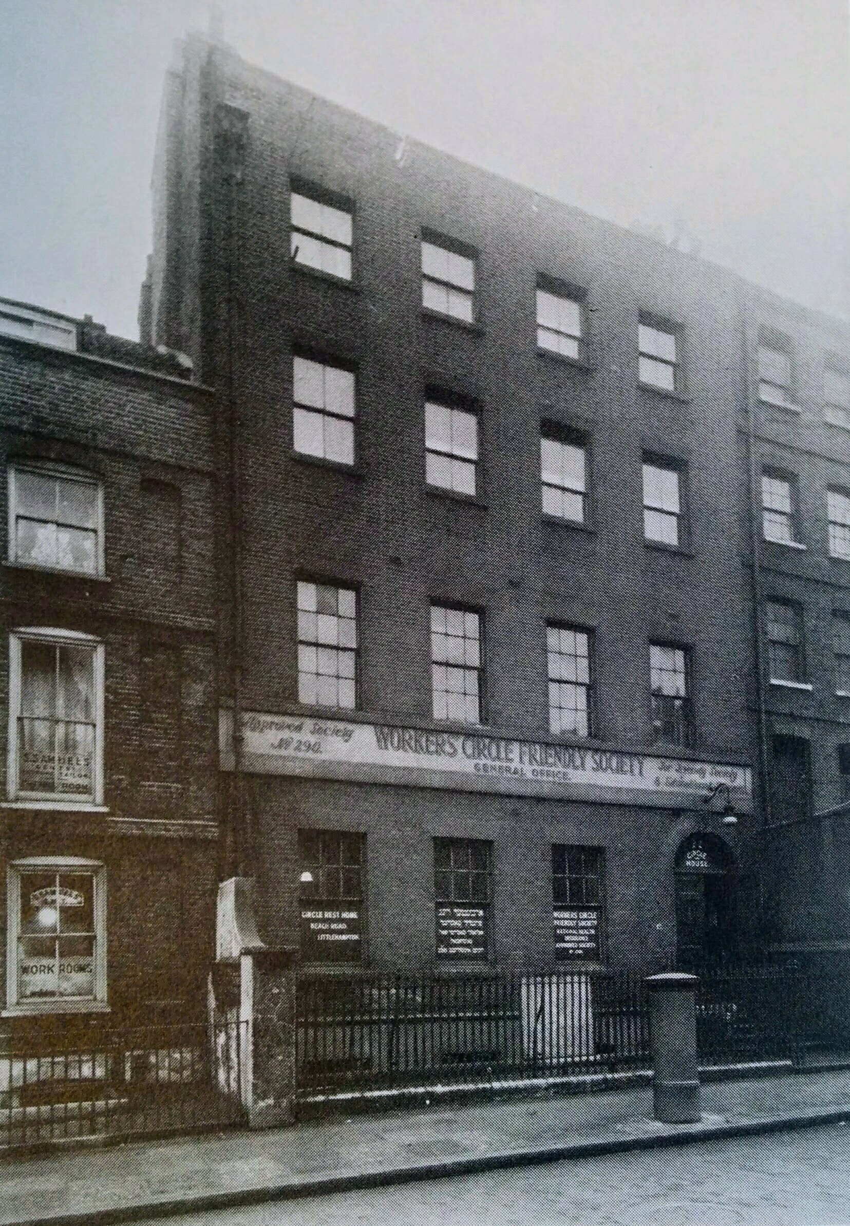
{
"id": 983,
"title": "Offices of the Jewish Secular Radicals, 1937/8",
"author": {
"id": 2,
"username": "surveyoflondon"
},
"feature": {
"id": 1401,
"type": "Feature",
"geometry": {
"type": "MultiPolygon",
"coordinates": [
[
[
[
-0.071803818959308,
51.51321795182727
],
[
-0.07186475821719,
51.513200106555054
],
[
-0.071970483076165,
51.51333036511169
],
[
-0.071824157910109,
51.51337643899112
],
[
-0.071785300317027,
51.513330877746185
],
[
-0.071755650608786,
51.5132961128473
],
[
-0.07184201717119,
51.51326398389184
],
[
-0.071803818959308,
51.51321795182727
]
]
]
]
},
"properties": {
"b_number": "22",
"b_name": "Symons House, 22 Alie Street",
"street": "Alie Street",
"address": "Symons House, 22 Alie Street",
"feature_type": "WHITECHAPEL_BUILDING",
"count": 3,
"search_str": "Symons House, 22 Alie Street"
},
"tags": []
},
"file": "https://surveyoflondon.org/media/uploads/features/1401/22%20Alie%20Street.jpg",
"description": "Photograph reproduced from 'The Streets of East London' by William Fishman",
"copyright": false,
"created": "2017-12-07"
},
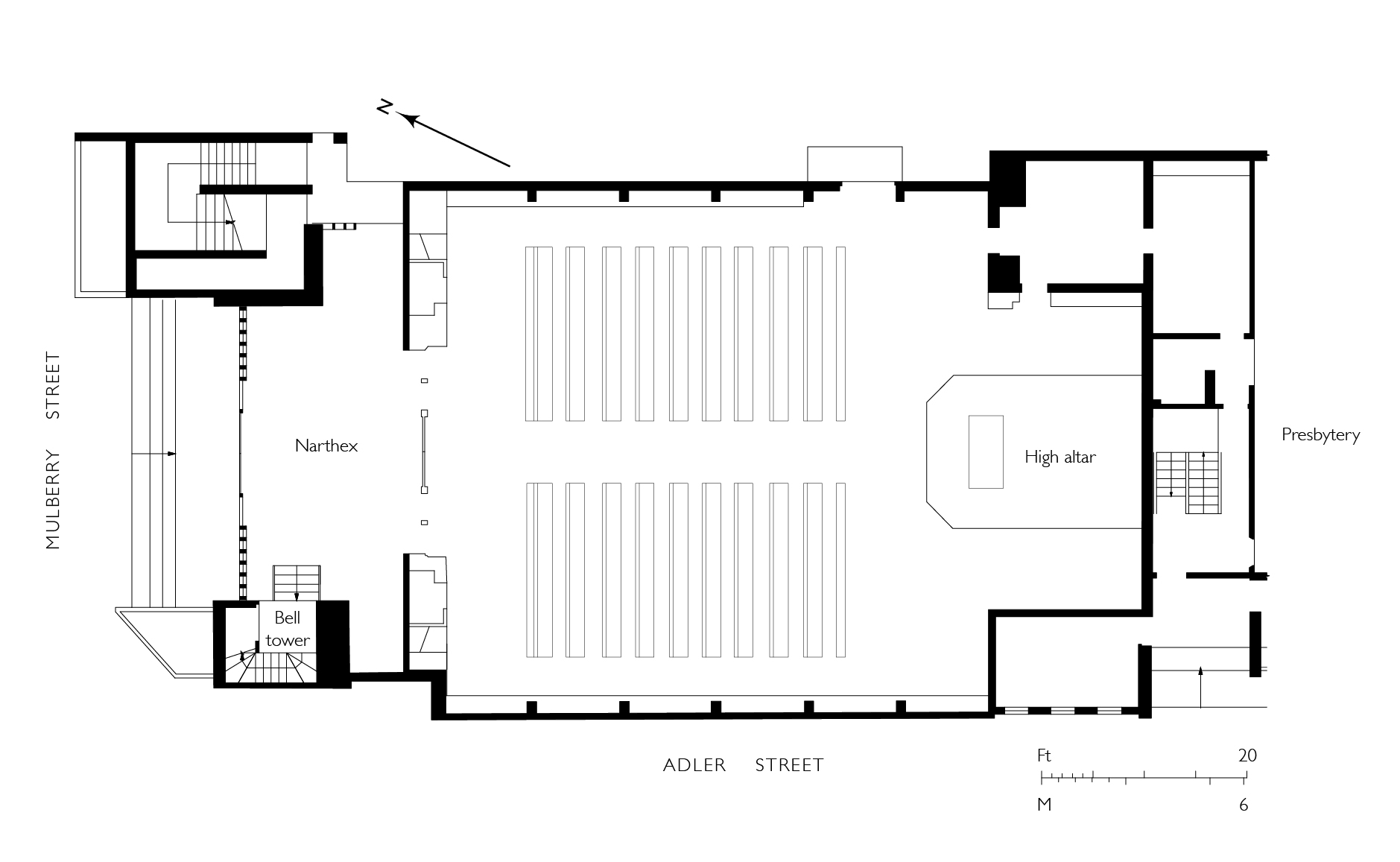
{
"id": 981,
"title": "St Boniface RC Church, ground-floor plan as in 2017",
"author": {
"id": 82,
"username": "HelenJones"
},
"feature": {
"id": 308,
"type": "Feature",
"geometry": {
"type": "MultiPolygon",
"coordinates": [
[
[
[
-0.067496567815311,
51.51589253877067
],
[
-0.067329816922355,
51.51592882147948
],
[
-0.067313994004403,
51.515903740519775
],
[
-0.067285655221522,
51.51591108028059
],
[
-0.067273890464753,
51.51588586669939
],
[
-0.067248552659892,
51.51589046902255
],
[
-0.067167351332256,
51.515743576397455
],
[
-0.067193642426533,
51.51573542676791
],
[
-0.06717129258716,
51.51569502690211
],
[
-0.067371819133296,
51.51564515293278
],
[
-0.067482004602165,
51.515831045103695
],
[
-0.067463735896854,
51.51583606330445
],
[
-0.067496567815311,
51.51589253877067
]
]
]
]
},
"properties": {
"b_number": "47",
"b_name": "",
"street": "Adler Street",
"address": "St Boniface German Church, 47 Adler Street",
"feature_type": "WHITECHAPEL_BUILDING",
"count": 14,
"search_str": "St Boniface German Church, 47 Adler Street"
},
"tags": [
"Catholic Church",
"Germans"
]
},
"file": "https://surveyoflondon.org/media/uploads/features/308/St%20Boniface%20plan%20latest%201.jpg",
"description": "",
"copyright": false,
"created": "2017-12-06"
},
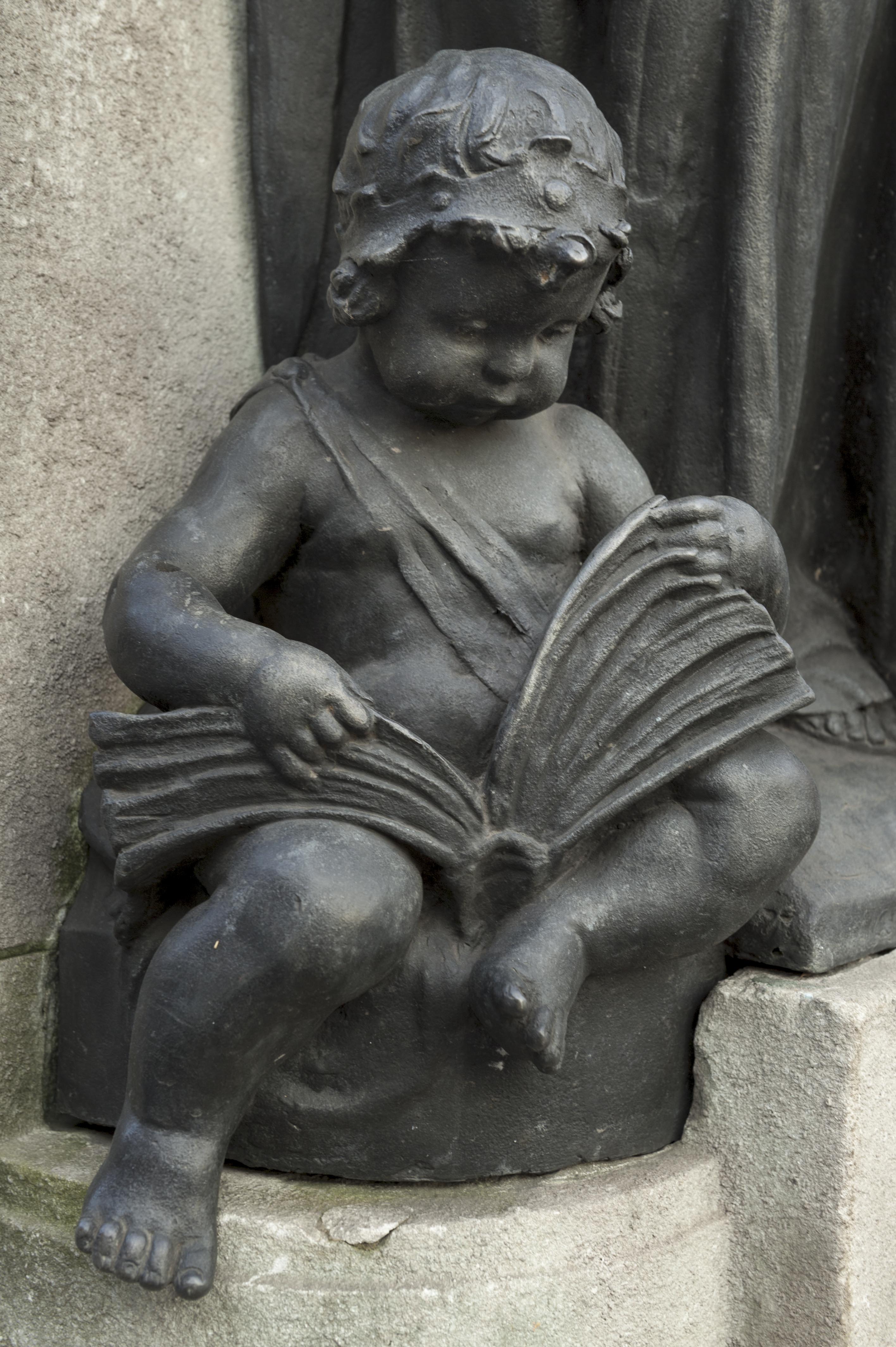
{
"id": 306,
"title": "Drinking Fountain, 1911, W. S. Frith, cherub one",
"author": {
"id": 27,
"username": "DerekKendall"
},
"feature": {
"id": 1698,
"type": "Feature",
"geometry": {
"type": "MultiPolygon",
"coordinates": [
[
[
[
-0.062755898137067,
51.51857235799611
],
[
-0.058216859270041,
51.51960039921044
],
[
-0.058148482851386,
51.51948612756745
],
[
-0.061091729886378,
51.51883423152082
],
[
-0.061616259170046,
51.51871888429734
],
[
-0.06270768344222,
51.51847582817058
],
[
-0.062755898137067,
51.51857235799611
]
]
]
]
},
"properties": {
"b_number": "",
"b_name": "",
"street": "Whitechapel Road",
"address": "Whitechapel Market, Whitechapel Road",
"feature_type": "PLACE",
"count": 48,
"search_str": "Whitechapel Market, Whitechapel Road"
},
"tags": []
},
"file": "https://surveyoflondon.org/media/uploads/features/491/SoL%20Whitechapel100413.jpg",
"description": "",
"copyright": true,
"created": "2016-08-23"
},
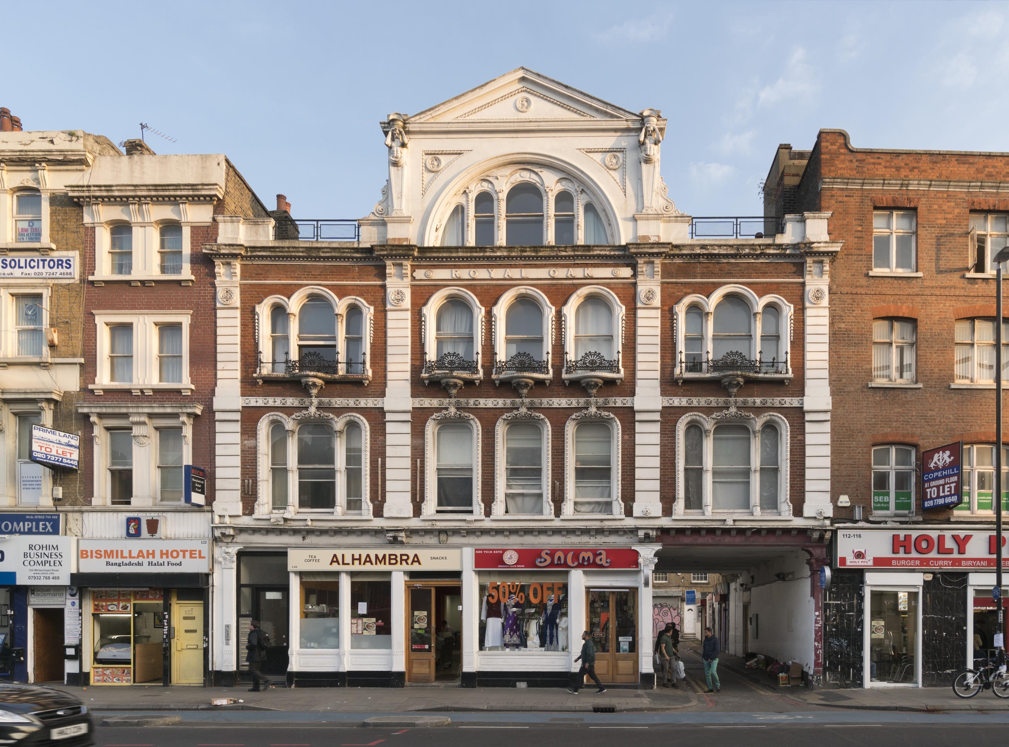
{
"id": 954,
"title": "118-120 Whitechapel Road in March 2017",
"author": {
"id": 27,
"username": "DerekKendall"
},
"feature": {
"id": 873,
"type": "Feature",
"geometry": {
"type": "MultiPolygon",
"coordinates": [
[
[
[
-0.063739503777729,
51.51804861845898
],
[
-0.063683451117025,
51.51797300209851
],
[
-0.0637089382797,
51.51796483346984
],
[
-0.063836182144524,
51.51792452272944
],
[
-0.063835842009052,
51.51792462190747
],
[
-0.063877274830691,
51.51791330545044
],
[
-0.063934479931202,
51.51800468952643
],
[
-0.063739503777729,
51.51804861845898
]
]
]
]
},
"properties": {
"b_number": "118-120",
"b_name": "Former Royal Oak public house",
"street": "Whitechapel Road",
"address": "Former Royal Oak public house, 118-120 Whitechapel Road",
"feature_type": "WHITECHAPEL_BUILDING",
"count": 9,
"search_str": "Former Royal Oak public house"
},
"tags": [
"Royal Oak"
]
},
"file": "https://surveyoflondon.org/media/uploads/features/873/SoL%20Whitechapel%20100751.jpg",
"description": "",
"copyright": true,
"created": "2017-11-30"
},
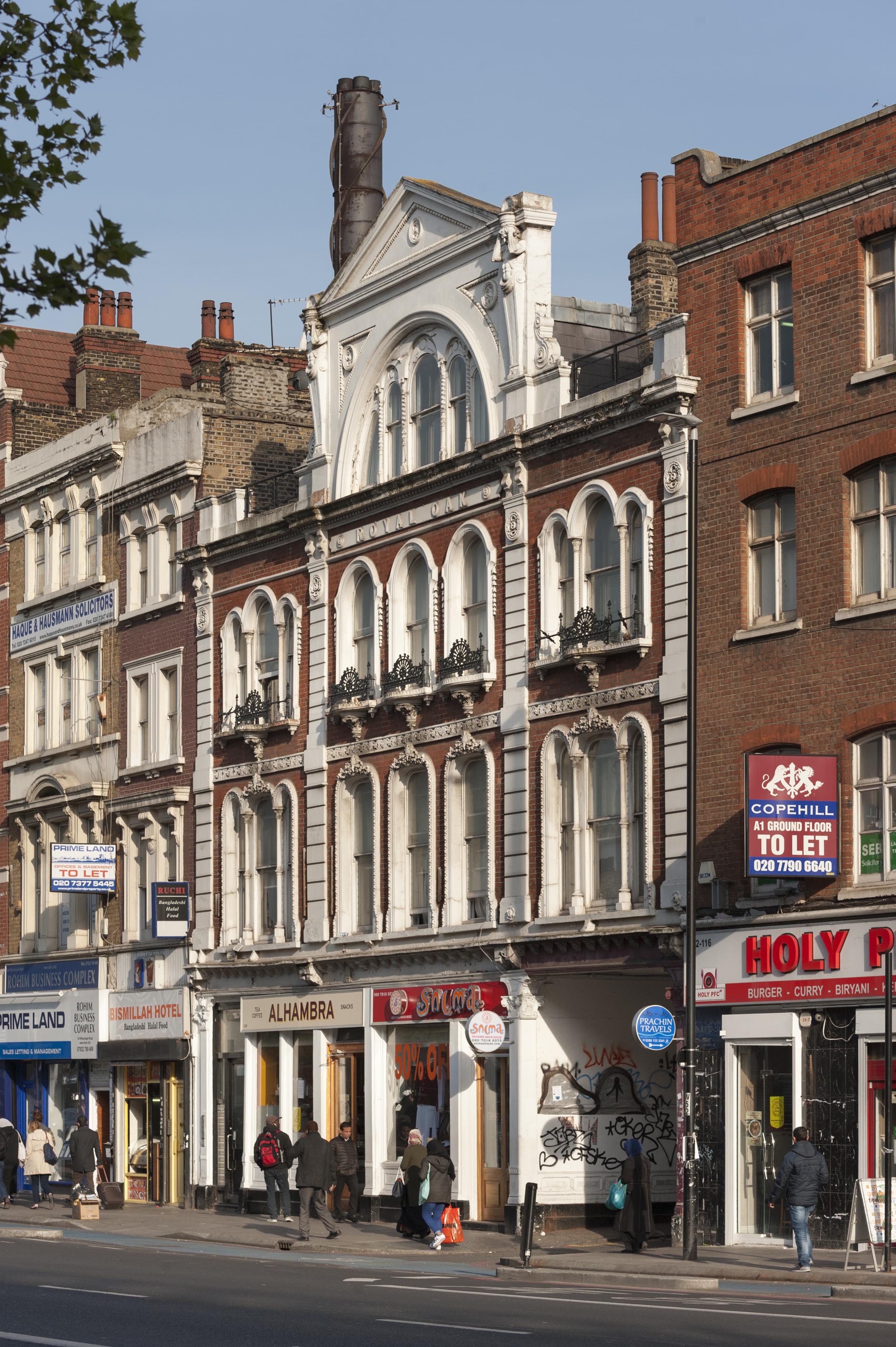
{
"id": 955,
"title": "116-124 Whitechapel Road in March 2017",
"author": {
"id": 27,
"username": "DerekKendall"
},
"feature": {
"id": 873,
"type": "Feature",
"geometry": {
"type": "MultiPolygon",
"coordinates": [
[
[
[
-0.063739503777729,
51.51804861845898
],
[
-0.063683451117025,
51.51797300209851
],
[
-0.0637089382797,
51.51796483346984
],
[
-0.063836182144524,
51.51792452272944
],
[
-0.063835842009052,
51.51792462190747
],
[
-0.063877274830691,
51.51791330545044
],
[
-0.063934479931202,
51.51800468952643
],
[
-0.063739503777729,
51.51804861845898
]
]
]
]
},
"properties": {
"b_number": "118-120",
"b_name": "Former Royal Oak public house",
"street": "Whitechapel Road",
"address": "Former Royal Oak public house, 118-120 Whitechapel Road",
"feature_type": "WHITECHAPEL_BUILDING",
"count": 9,
"search_str": "Former Royal Oak public house"
},
"tags": [
"Royal Oak"
]
},
"file": "https://surveyoflondon.org/media/uploads/features/873/SoL%20Whitechapel%20100750.jpg",
"description": "",
"copyright": true,
"created": "2017-11-30"
}
]
}
.jpg)