HTTP 200 OK
Allow: GET, HEAD, OPTIONS
Content-Type: application/json
Vary: Accept
{
"count": 1747,
"next": "https://surveyoflondon.org/api/v1/images/?format=api&page=5",
"previous": "https://surveyoflondon.org/api/v1/images/?format=api&page=3",
"results": [
{
"id": 1290,
"title": "102 Whitechapel Road, oblique view to east, June 2018",
"author": {
"id": 27,
"username": "DerekKendall"
},
"feature": {
"id": 861,
"type": "Feature",
"geometry": {
"type": "MultiPolygon",
"coordinates": [
[
[
[
-0.06458629005838,
51.51780638041829
],
[
-0.064507274353101,
51.51782788345457
],
[
-0.064423389470985,
51.517707899732194
],
[
-0.064505774887929,
51.51768547963217
],
[
-0.06458629005838,
51.51780638041829
]
]
]
]
},
"properties": {
"b_number": "102",
"b_name": "",
"street": "Whitechapel Road",
"address": "102 Whitechapel Road",
"feature_type": "WHITECHAPEL_BUILDING",
"count": 4,
"search_str": "102 Whitechapel Road"
},
"tags": []
},
"file": "https://surveyoflondon.org/media/uploads/features/861/SoL%20Whitechapel%20102011.jpg",
"description": "",
"copyright": true,
"created": "2018-08-09"
},
{
"id": 811,
"title": "Blue Anchor Yard, Royal Mint Estate, in 2017",
"author": {
"id": 27,
"username": "DerekKendall"
},
"feature": {
"id": 1319,
"type": "Feature",
"geometry": {
"type": "MultiPolygon",
"coordinates": [
[
[
[
-0.070099663537849,
51.50987995692083
],
[
-0.070134566264444,
51.50994158553282
],
[
-0.070138840969699,
51.50994915229114
],
[
-0.070074670744039,
51.509960183048605
],
[
-0.07004155981795,
51.5099019850107
],
[
-0.070035087051019,
51.509890588327984
],
[
-0.070099663537849,
51.50987995692083
]
]
]
]
},
"properties": {
"b_number": "7",
"b_name": "",
"street": "Blue Anchor Yard",
"address": "7 Blue Anchor Yard, Royal Mint Estate",
"feature_type": "WHITECHAPEL_BUILDING",
"count": 7,
"search_str": "7 Blue Anchor Yard, Royal Mint Estate"
},
"tags": []
},
"file": "https://surveyoflondon.org/media/uploads/features/1319/SoL%20Whitechapel%20101620.jpg",
"description": "",
"copyright": true,
"created": "2017-09-12"
},
{
"id": 1291,
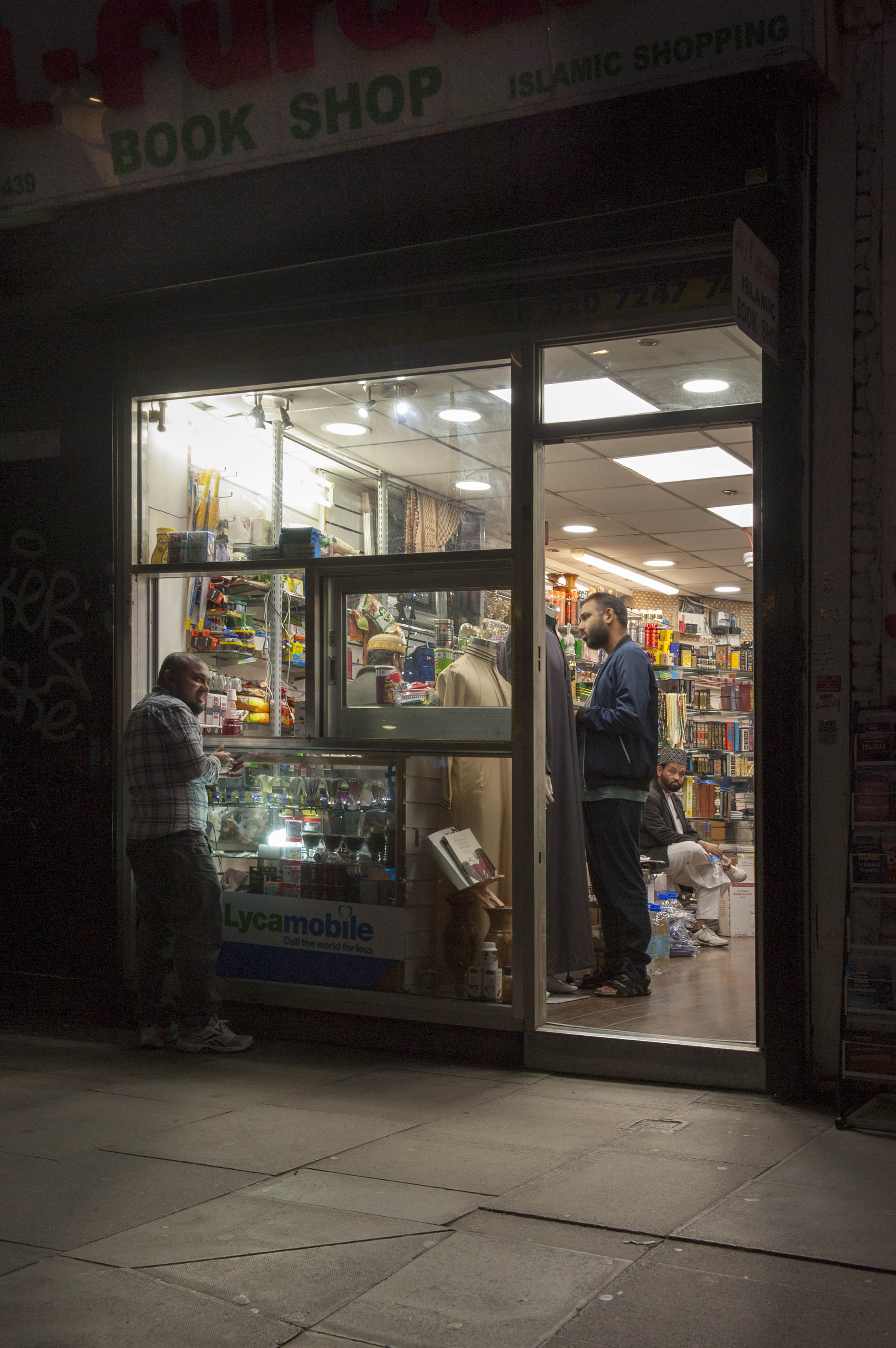
"title": "Al Furqan bookshop, 102 Whitechapel Road, June 2018",
"author": {
"id": 27,
"username": "DerekKendall"
},
"feature": {
"id": 861,
"type": "Feature",
"geometry": {
"type": "MultiPolygon",
"coordinates": [
[
[
[
-0.06458629005838,
51.51780638041829
],
[
-0.064507274353101,
51.51782788345457
],
[
-0.064423389470985,
51.517707899732194
],
[
-0.064505774887929,
51.51768547963217
],
[
-0.06458629005838,
51.51780638041829
]
]
]
]
},
"properties": {
"b_number": "102",
"b_name": "",
"street": "Whitechapel Road",
"address": "102 Whitechapel Road",
"feature_type": "WHITECHAPEL_BUILDING",
"count": 4,
"search_str": "102 Whitechapel Road"
},
"tags": []
},
"file": "https://surveyoflondon.org/media/uploads/features/861/SoL%20Whitechapel%20102012.jpg",
"description": "",
"copyright": true,
"created": "2018-08-09"
},
{
"id": 158,
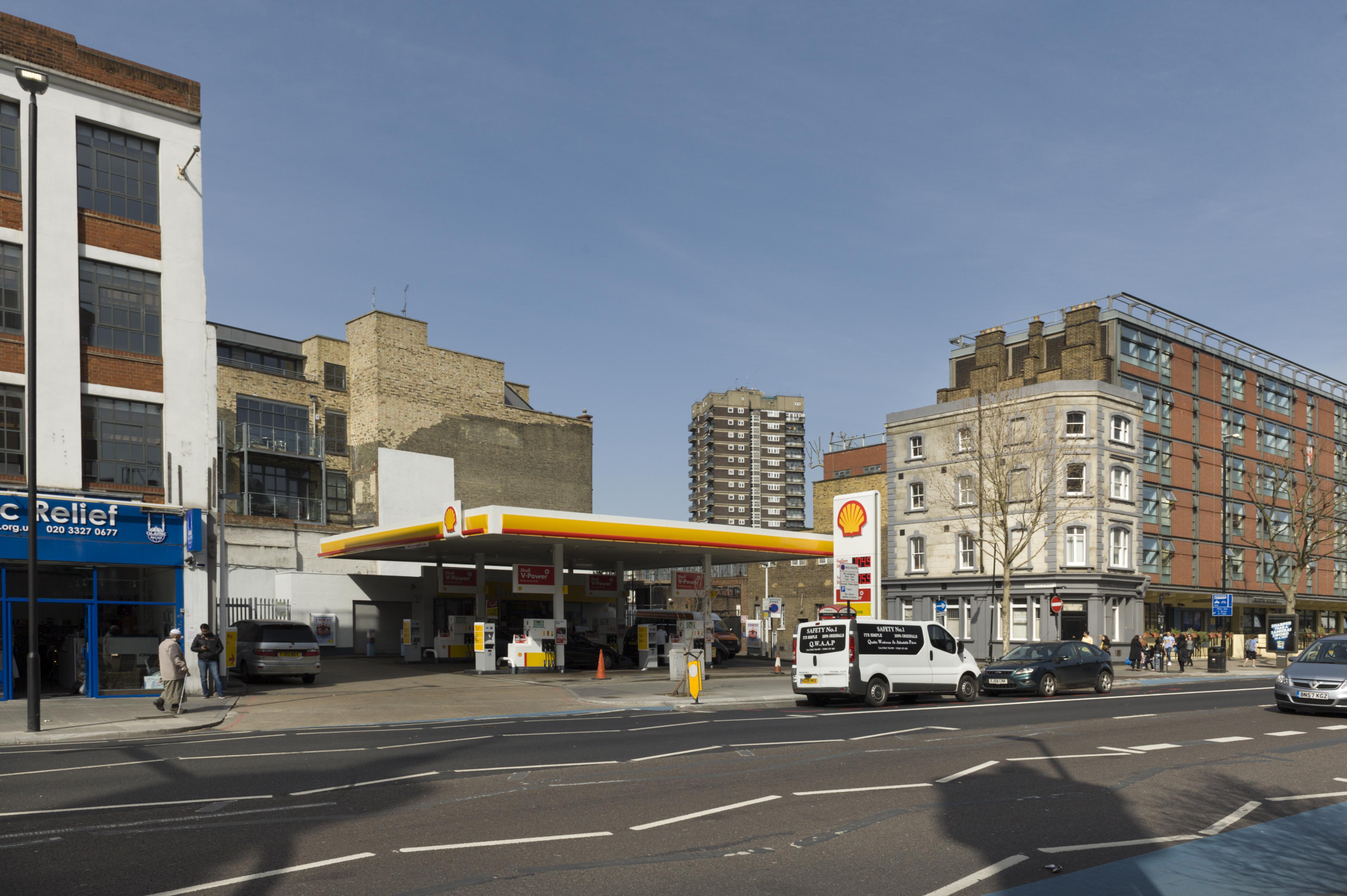
"title": "Shell petrol station, 139-149 Whitechapel Road in 2016",
"author": {
"id": 27,
"username": "DerekKendall"
},
"feature": {
"id": 438,
"type": "Feature",
"geometry": {
"type": "MultiPolygon",
"coordinates": [
[
[
[
-0.065577466140517,
51.51803559753748
],
[
-0.065394435517867,
51.51809723140592
],
[
-0.065262843396175,
51.51792796097
],
[
-0.065449806129439,
51.517871385932104
],
[
-0.065577466140517,
51.51803559753748
]
]
]
]
},
"properties": {
"b_number": "139-149",
"b_name": "",
"street": "Whitechapel Road",
"address": "Shell Petrol Station, 139-149 Whitechapel Road",
"feature_type": "WHITECHAPEL_BUILDING",
"count": 4,
"search_str": "Shell Petrol Station, 139-149 Whitechapel Road"
},
"tags": [
"synagogue"
]
},
"file": "https://surveyoflondon.org/media/uploads/features/438/SoL%20Whitechapel100261.jpg",
"description": "",
"copyright": true,
"created": "2016-07-21"
},
{
"id": 1359,
"title": "89 Whitechapel High Street in 2018",
"author": {
"id": 27,
"username": "DerekKendall"
},
"feature": {
"id": 321,
"type": "Feature",
"geometry": {
"type": "MultiPolygon",
"coordinates": [
[
[
[
-0.070851482033923,
51.51583890438921
],
[
-0.070769983901351,
51.515756150681995
],
[
-0.070826096590134,
51.51573168194945
],
[
-0.070910018893456,
51.51581372858656
],
[
-0.070987330377172,
51.51589641332654
],
[
-0.071038807895081,
51.515953523899796
],
[
-0.070962773338145,
51.515980152176006
],
[
-0.070839633171055,
51.51584349573393
],
[
-0.070851482033923,
51.51583890438921
]
]
]
]
},
"properties": {
"b_number": "89",
"b_name": "White Hart, 89 Whitechapel High Street",
"street": "Whitechapel High Street",
"address": "White Hart, 89 Whitechapel High Street, London E1",
"feature_type": "WHITECHAPEL_BUILDING",
"count": 9,
"search_str": "White Hart, 89 Whitechapel High Street"
},
"tags": []
},
"file": "https://surveyoflondon.org/media/uploads/features/321/SoL%20Whitechapel%20102216.jpg",
"description": "",
"copyright": true,
"created": "2018-10-10"
},
{
"id": 1360,
"title": "74–96 Whitechapel High Street in 2018",
"author": {
"id": 27,
"username": "DerekKendall"
},
"feature": {
"id": 321,
"type": "Feature",
"geometry": {
"type": "MultiPolygon",
"coordinates": [
[
[
[
-0.070851482033923,
51.51583890438921
],
[
-0.070769983901351,
51.515756150681995
],
[
-0.070826096590134,
51.51573168194945
],
[
-0.070910018893456,
51.51581372858656
],
[
-0.070987330377172,
51.51589641332654
],
[
-0.071038807895081,
51.515953523899796
],
[
-0.070962773338145,
51.515980152176006
],
[
-0.070839633171055,
51.51584349573393
],
[
-0.070851482033923,
51.51583890438921
]
]
]
]
},
"properties": {
"b_number": "89",
"b_name": "White Hart, 89 Whitechapel High Street",
"street": "Whitechapel High Street",
"address": "White Hart, 89 Whitechapel High Street, London E1",
"feature_type": "WHITECHAPEL_BUILDING",
"count": 9,
"search_str": "White Hart, 89 Whitechapel High Street"
},
"tags": []
},
"file": "https://surveyoflondon.org/media/uploads/features/321/SoL%20Whitechapel%20102231.jpg",
"description": "",
"copyright": true,
"created": "2018-10-10"
},
{
"id": 135,
"title": "56 Middlesex Street (2015)",
"author": {
"id": 25,
"username": "Aileen"
},
"feature": {
"id": 336,
"type": "Feature",
"geometry": {
"type": "MultiPolygon",
"coordinates": [
[
[
[
-0.075843660586662,
51.515981304850996
],
[
-0.075920209430552,
51.515945534989164
],
[
-0.075961862116518,
51.51597292669965
],
[
-0.075882771393348,
51.516015577512064
],
[
-0.075843660586662,
51.515981304850996
]
]
]
]
},
"properties": {
"b_number": "56",
"b_name": "56 Middlesex Street, London E1 7EZ",
"street": "Middlesex Street",
"address": "56 Middlesex Street",
"feature_type": "WHITECHAPEL_BUILDING",
"count": 3,
"search_str": "56 Middlesex Street, London E1 7EZ"
},
"tags": []
},
"file": "https://surveyoflondon.org/media/uploads/features/336/Middlesex%20Street%2056%20crop.jpg",
"description": "",
"copyright": false,
"created": "2016-07-16"
},
{
"id": 1332,
"title": "Former Church House from the east, August 2018",
"author": {
"id": 27,
"username": "DerekKendall"
},
"feature": {
"id": 1398,
"type": "Feature",
"geometry": {
"type": "MultiPolygon",
"coordinates": [
[
[
[
-0.06617795318375,
51.51038731673777
],
[
-0.065912350489888,
51.51041084290673
],
[
-0.06588610031897,
51.51032669039412
],
[
-0.066162776826975,
51.51030567245064
],
[
-0.06617795318375,
51.51038731673777
]
]
]
]
},
"properties": {
"b_number": "",
"b_name": "St Paul's School Mission Room and Infant Nursery (later used as Church House)",
"street": "Wellclose Square",
"address": "St Paul's School Mission Room and Infant Nursery",
"feature_type": "WHITECHAPEL_BUILDING",
"count": 11,
"search_str": "St Paul's School Mission Room and Infant Nursery (later used as Church House)"
},
"tags": []
},
"file": "https://surveyoflondon.org/media/uploads/features/1398/SoL%20Whitechapel%20102103.jpg",
"description": "",
"copyright": true,
"created": "2018-08-13"
},
{
"id": 140,
"title": "54 Middlesex Street",
"author": {
"id": 25,
"username": "Aileen"
},
"feature": {
"id": 335,
"type": "Feature",
"geometry": {
"type": "MultiPolygon",
"coordinates": [
[
[
[
-0.075817723316155,
51.51595857611292
],
[
-0.075884097115619,
51.51592235794019
],
[
-0.075920209430552,
51.515945534989164
],
[
-0.075843660586662,
51.515981304850996
],
[
-0.075817723316155,
51.51595857611292
]
]
]
]
},
"properties": {
"b_number": "54",
"b_name": "54 Middlesex Street, London E1 7EZ",
"street": "Middlesex Street",
"address": "54 Middlesex Street",
"feature_type": "WHITECHAPEL_BUILDING",
"count": 3,
"search_str": "54 Middlesex Street, London E1 7EZ"
},
"tags": []
},
"file": "https://surveyoflondon.org/media/uploads/features/335/Middlesex%20Street%2054%20crop.jpg",
"description": "",
"copyright": false,
"created": "2016-07-16"
},
{
"id": 564,
"title": "1-13 Adler Street with HULT tower beyond in April 2017",
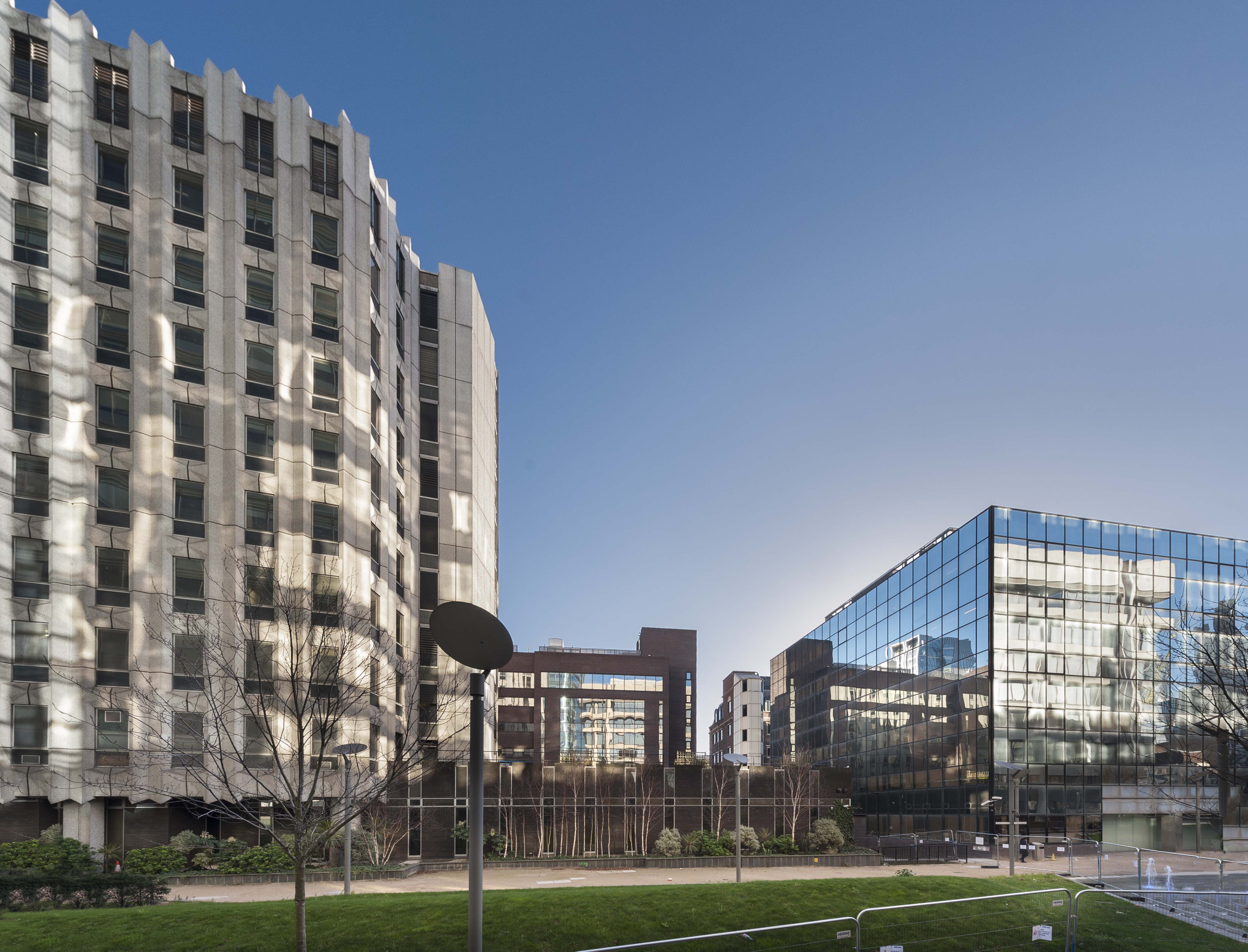
"author": {
"id": 27,
"username": "DerekKendall"
},
"feature": {
"id": 98,
"type": "Feature",
"geometry": {
"type": "MultiPolygon",
"coordinates": [
[
[
[
-0.067624278430134,
51.51582673751899
],
[
-0.067266745341531,
51.51526486267481
],
[
-0.067443979235003,
51.51522070947007
],
[
-0.067791271739465,
51.515783687309835
],
[
-0.067624278430134,
51.51582673751899
]
]
]
]
},
"properties": {
"b_number": "1-13",
"b_name": "",
"street": "Adler Street",
"address": "1-13 Adler Street",
"feature_type": "WHITECHAPEL_BUILDING",
"count": 7,
"search_str": "1-13 Adler Street"
},
"tags": [
"flatted factory",
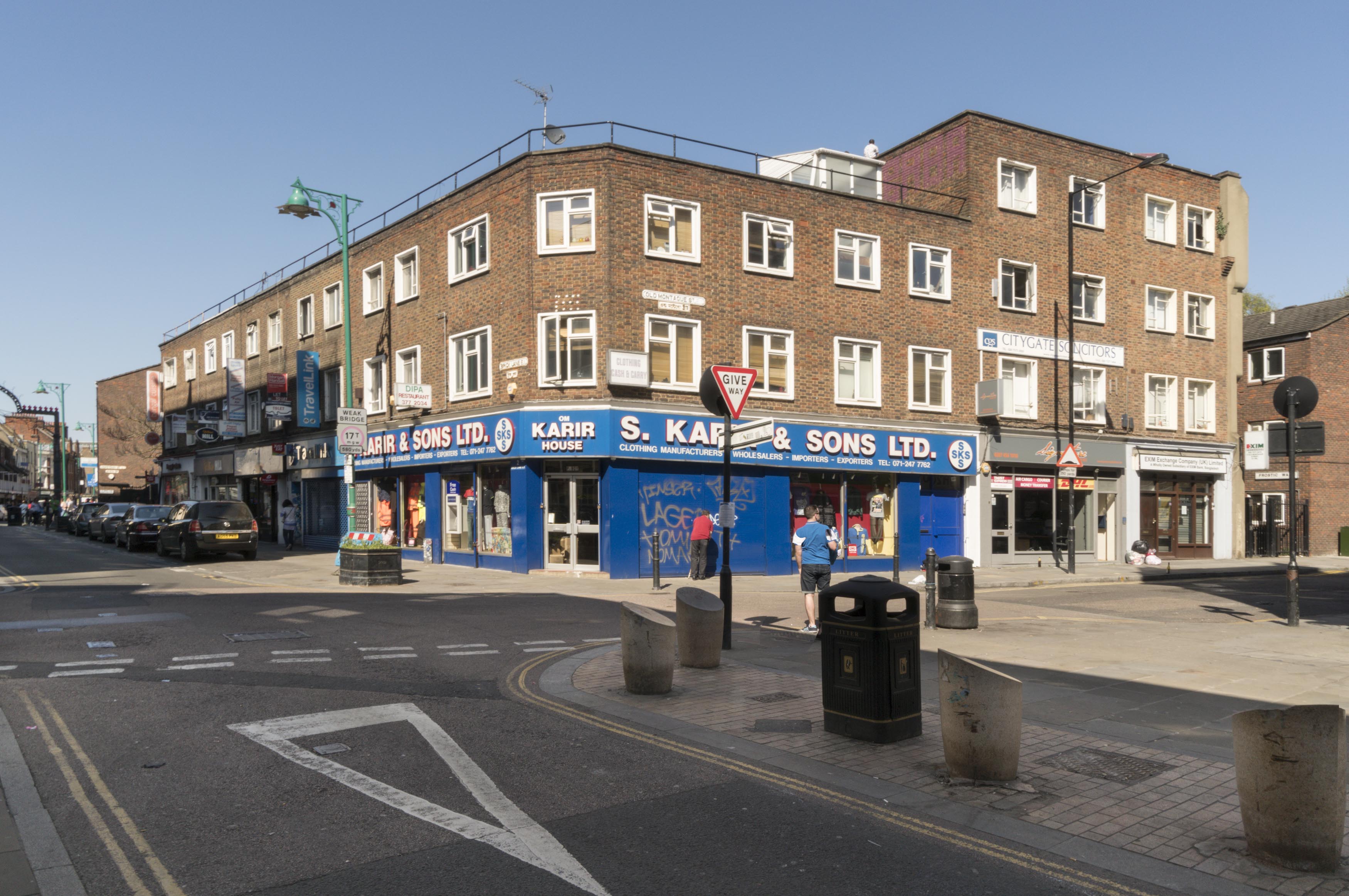
"London County Council"
]
},
"file": "https://surveyoflondon.org/media/uploads/features/98/SoL%20Whitechapel%20100561.jpg",
"description": "",
"copyright": true,
"created": "2017-05-03"
},
{
"id": 50,
"title": "Tower House, 81 Fieldgate Street, entrance, March 1992",
"author": {
"id": 21,
"username": "IsobelWatson"
},
"feature": {
"id": 839,
"type": "Feature",
"geometry": {
"type": "MultiPolygon",
"coordinates": [
[
[
[
-0.064497563558549,
51.517361628803805
],
[
-0.064496408109862,
51.51736309395909
],
[
-0.064348901589247,
51.517381493231476
],
[
-0.064343975983599,
51.51736612215419
],
[
-0.064054660314112,
51.517402209452214
],
[
-0.064059058880887,
51.517415936099994
],
[
-0.063880964779871,
51.51743814997979
],
[
-0.063877096358366,
51.517426077614196
],
[
-0.063528073193922,
51.517469610821024
],
[
-0.063478650874795,
51.517449375087956
],
[
-0.063465163734058,
51.51737222076246
],
[
-0.063672133997618,
51.51734725578329
],
[
-0.063667407479579,
51.51723290068993
],
[
-0.063724830703042,
51.51723384881843
],
[
-0.063725147296712,
51.517226384957326
],
[
-0.063667724082622,
51.517225436829115
],
[
-0.063646330595039,
51.51716533088115
],
[
-0.06369299365168,
51.51713771882066
],
[
-0.063728249907456,
51.517153239118066
],
[
-0.063773509194633,
51.517148149709364
],
[
-0.063793395289669,
51.517131845319966
],
[
-0.063867317624302,
51.51712375146289
],
[
-0.063900994386595,
51.517134287085675
],
[
-0.064225680705438,
51.51709706728731
],
[
-0.064219264541115,
51.517072344955054
],
[
-0.064310349325468,
51.51706187287984
],
[
-0.064316793729717,
51.51708593036503
],
[
-0.064372224762903,
51.517078933034306
],
[
-0.064422011504583,
51.51705414924394
],
[
-0.064459090927727,
51.517083143770165
],
[
-0.064448950765029,
51.51709642076694
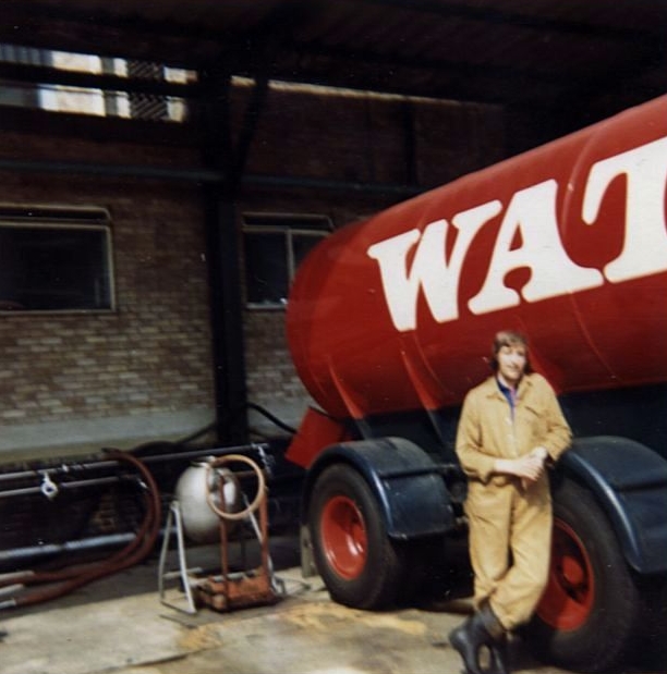
],
[
-0.064497563558549,
51.517361628803805
]
]
]
]
},
"properties": {
"b_number": "81",
"b_name": "",
"street": "Fieldgate Street",
"address": "Tower House, 81 Fieldgate Street",
"feature_type": "WHITECHAPEL_BUILDING",
"count": 8,
"search_str": "Tower House, 81 Fieldgate Street"
},
"tags": []
},
"file": "https://surveyoflondon.org/media/uploads/features/839/Tower%20House%20Fieldgate%20St%20doorway%201992.jpg",
"description": "",
"copyright": false,
"created": "2016-06-20"
},
{
"id": 597,
"title": "The Archers, 42 Osborn Street, from the north-west looking down Osborn Street in April 2017",
"author": {
"id": 27,
"username": "DerekKendall"
},
"feature": {
"id": 134,
"type": "Feature",
"geometry": {
"type": "MultiPolygon",
"coordinates": [
[
[
[
-0.070243500569242,
51.517154861646205
],
[
-0.0702968300595,
51.51714038134803
],
[
-0.070335680411927,
51.517193274330154
],
[
-0.070342810454315,
51.51721756480552
],
[
-0.070323664139563,
51.517236333829224
],
[
-0.070251837070749,
51.517247294829744
],
[
-0.070217386307061,
51.51718744011919
],
[
-0.070254671152518,
51.51717791764134
],
[
-0.070254692290288,
51.51717741759675
],
[
-0.070243500569242,
51.517154861646205
]
]
]
]
},
"properties": {
"b_number": "42",
"b_name": "",
"street": "Osborn Street",
"address": "The Buxton (formerly the Archers) public house, 42 Osborn Street",
"feature_type": "WHITECHAPEL_BUILDING",
"count": 3,
"search_str": "The Buxton (formerly the Archers) public house, 42 Osborn Street"
},
"tags": []
},
"file": "https://surveyoflondon.org/media/uploads/features/134/SoL%20Whitechapel%20100680.jpg",
"description": "",
"copyright": true,
"created": "2017-05-03"
},
{
"id": 576,
"title": "17-29 Casson Street from the south-east in April 2017",
"author": {
"id": 27,
"username": "DerekKendall"
},
"feature": {
"id": 211,
"type": "Feature",
"geometry": {
"type": "MultiPolygon",
"coordinates": [
[
[
[
-0.068483194396426,
51.51837268716341
],
[
-0.068350999870928,
51.51839690824732
],
[
-0.068333479449682,
51.51835339125747
],
[
-0.068467255738312,
51.51832969662281
],
[
-0.068483194396426,
51.51837268716341
]
]
]
]
},
"properties": {
"b_number": "17",
"b_name": "",
"street": "Casson Street",
"address": "17 Casson Street",
"feature_type": "WHITECHAPEL_BUILDING",
"count": 10,
"search_str": "17 Casson Street"
},
"tags": []
},
"file": "https://surveyoflondon.org/media/uploads/features/211/SoL%20Whitechapel%20100597.jpg",
"description": "",
"copyright": true,
"created": "2017-05-03"
},
{
"id": 743,
"title": "Durward Street, c.1959",
"author": {
"id": 181,
"username": "mick"
},
"feature": {
"id": 523,
"type": "Feature",
"geometry": {
"type": "MultiPolygon",
"coordinates": [
[
[
[
-0.060900088722072,
51.519843411469544
],
[
-0.060674000929343,
51.51990651452421
],
[
-0.060559204779968,
51.51975615907654
],
[
-0.060782751772986,
51.51968972918926
],
[
-0.060900088722072,
51.519843411469544
]
]
]
]
},
"properties": {
"b_number": "6",
"b_name": "",
"street": "Durward Street",
"address": "6 Durward Street",
"feature_type": "WHITECHAPEL_BUILDING",
"count": 3,
"search_str": "6 Durward Street"
},
"tags": []
},
"file": "https://surveyoflondon.org/media/uploads/features/611/1959%20unknown%207.JPG",
"description": "",
"copyright": false,
"created": "2017-08-10"
},
{
"id": 123,
"title": "Entrance to the East London Central Synagogue",
"author": {
"id": 11,
"username": "amyspencer"
},
"feature": {
"id": 1223,
"type": "Feature",
"geometry": {
"type": "MultiPolygon",
"coordinates": [
[
[
[
-0.060006488271847,
51.51510627570232
],
[
-0.060013828479506,
51.51514108634351
],
[
-0.060041191538188,
51.51513847488316
],
[
-0.060044966435695,
51.51515486133312
],
[
-0.060046280894631,
51.515160267115604
],
[
-0.06006361028193,
51.51523153503032
],
[
-0.060038376114045,
51.515234772078884
],
[
-0.060045827749183,
51.515261090649105
],
[
-0.060015205701946,
51.5152645036895
],
[
-0.060016148787444,
51.515268254903
],
[
-0.059983698589757,
51.51527136600084
],
[
-0.059982800623722,
51.51526769635853
],
[
-0.05980489998415,
51.51528464054933
],
[
-0.059795138699586,
51.515241962297075
],
[
-0.059761324311277,
51.51524516305319
],
[
-0.059744612932379,
51.51517643483414
],
[
-0.059778381606491,
51.51517323840473
],
[
-0.059769223543847,
51.515128898143736
],
[
-0.060006488271847,
51.51510627570232
]
]
]
]
},
"properties": {
"b_number": "30-40",
"b_name": "",
"street": "Nelson Street",
"address": "East London Central Synagogue",
"feature_type": "WHITECHAPEL_BUILDING",
"count": 3,
"search_str": "East London Central Synagogue"
},
"tags": []
},
"file": "https://surveyoflondon.org/media/uploads/features/1223/IMG_8295.JPG",
"description": "",
"copyright": false,
"created": "2016-07-13"
},
{
"id": 483,
"title": "Walden Street north side ",
"author": {
"id": 21,
"username": "IsobelWatson"
},
"feature": {
"id": 1078,
"type": "Feature",
"geometry": {
"type": "MultiPolygon",
"coordinates": [
[
[
[
-0.060103671685088,
51.5162851138199
],
[
-0.060087286398528,
51.51622288799857
],
[
-0.06016097444144,
51.51621543115877
],
[
-0.060177225083742,
51.516277943343304
],
[
-0.060103671685088,
51.5162851138199
]
]
]
]
},
"properties": {
"b_number": "33",
"b_name": "",
"street": "",
"address": "33 Walden Street",
"feature_type": "WHITECHAPEL_BUILDING",
"count": 5,
"search_str": "33 Walden Street"
},
"tags": []
},
"file": "https://surveyoflondon.org/media/uploads/features/1078/Walden%20St%2033-51%20(odd)%20c%201990.jpg",
"description": "Dated c.1990",
"copyright": false,
"created": "2017-01-23"
},
{
"id": 154,
"title": "the site of 18-24 Whitechapel Road in about 1890",
"author": {
"id": 2,
"username": "surveyoflondon"
},
"feature": {
"id": 150,
"type": "Feature",
"geometry": {
"type": "MultiPolygon",
"coordinates": [
[
[
[
-0.067616460995772,
51.516817193189674
],
[
-0.067489528858448,
51.51687130946722
],
[
-0.067202726681577,
51.51660507423893
],
[
-0.067319002357261,
51.516558991934765
],
[
-0.067537613033775,
51.51675134121886
],
[
-0.067616460995772,
51.516817193189674
]
]
]
]
},
"properties": {
"b_number": "20-22",
"b_name": "",
"street": "Whitechapel Road",
"address": "20-22 Whitechapel Road",
"feature_type": "WHITECHAPEL_BUILDING",
"count": 5,
"search_str": "20-22 Whitechapel Road"
},
"tags": [
"Buck & Hickman",
"Salvation Army",
"William Booth"
]
},
"file": "https://surveyoflondon.org/media/uploads/features/150/18-24%20Whitechapel%20Road%2C%20c1890%20b%2Bw.jpg",
"description": "",
"copyright": false,
"created": "2016-07-21"
},
{
"id": 742,
"title": "Dad at work in the Albion Brewery",
"author": {
"id": 181,
"username": "mick"
},
"feature": {
"id": 520,
"type": "Feature",
"geometry": {
"type": "MultiPolygon",
"coordinates": [
[
[
[
-0.057451908164031,
51.520162779025306
],
[
-0.057385151743417,
51.52014697732775
],
[
-0.057385151743417,
51.52014697732775
],
[
-0.057364829396847,
51.52012670800705
],
[
-0.057170213282674,
51.52016963984626
],
[
-0.057098750275007,
51.52004461290751
],
[
-0.057044351749301,
51.52005556326038
],
[
-0.056960904550882,
51.519899865751334
],
[
-0.057272372805932,
51.51983178447637
],
[
-0.057281839102929,
51.5198457992335
],
[
-0.057510183674525,
51.51979460999542
],
[
-0.057612401717062,
51.51977401899527
],
[
-0.057799568433219,
51.52008839297032
],
[
-0.057451908164031,
51.520162779025306
]
],
[
[
-0.057548041923775,
51.52000904200745
],
[
-0.05753215107996,
51.5199815011314
],
[
-0.057585595210164,
51.51996949919713
],
[
-0.057536388591122,
51.519884217752235
],
[
-0.057561162003418,
51.5198786543838
],
[
-0.05751392250335,
51.51979894591583
],
[
-0.057335517633486,
51.51983860864988
],
[
-0.057344903465109,
51.519858110469535
],
[
-0.057364830684365,
51.51985365150651
],
[
-0.057387997106671,
51.51989693261775
],
[
-0.05731968525021,
51.519912116173
],
[
-0.057400572419345,
51.52004119539844
],
[
-0.057548041923775,
51.52000904200745
]
]
]
]
},
"properties": {
"b_number": "331-335",
"b_name": "Albion Yard (formerly Albion Brewery)",
"street": "Whitechapel Road",
"address": "Albion Yard, 331-335 Whitechapel Road",
"feature_type": "WHITECHAPEL_BUILDING",
"count": 11,
"search_str": "Albion Yard (formerly Albion Brewery)"
},
"tags": []
},
"file": "https://surveyoflondon.org/media/uploads/features/611/Watneys%20scan%20121.jpg",
"description": "",
"copyright": false,
"created": "2017-08-10"
},
{
"id": 549,
"title": "Camperdown House (right), north elevation in context with Maersk House (left)",
"author": {
"id": 27,
"username": "DerekKendall"
},
"feature": {
"id": 1699,
"type": "Feature",
"geometry": {
"type": "MultiPolygon",
"coordinates": [
[
[
[
-0.072807065482267,
51.513937850831965
],
[
-0.072596293900515,
51.51368300957728
],
[
-0.072417852397056,
51.51374436072419
],
[
-0.072390288345081,
51.51374115582855
],
[
-0.072239332134844,
51.5137937043139
],
[
-0.072149100181317,
51.513851220073796
],
[
-0.072375372474216,
51.514090936056476
],
[
-0.072807065482267,
51.513937850831965
]
]
]
]
},
"properties": {
"b_number": "6",
"b_name": "Camperdown House, 6 Braham Street",
"street": "Braham Street",
"address": "Camperdown House, 6 Braham Street",
"feature_type": "WHITECHAPEL_BUILDING",
"count": 9,
"search_str": "Camperdown House, 6 Braham Street"
},
"tags": []
},
"file": "https://surveyoflondon.org/media/uploads/features/1699/SoL%20Whitechapel%20100469_GQoZmqu.jpg",
"description": "",
"copyright": true,
"created": "2017-04-10"
},
{
"id": 596,
"title": "2-10 Brick Lane from the south-west in April 2017",
"author": {
"id": 27,
"username": "DerekKendall"
},
"feature": {
"id": 176,
"type": "Feature",
"geometry": {
"type": "MultiPolygon",
"coordinates": [
[
[
[
-0.070535816290474,
51.51735594274834
],
[
-0.070441595272791,
51.517394869946365
],
[
-0.070416806700183,
51.51737417149222
],
[
-0.070356946733974,
51.51738770589425
],
[
-0.070331058983201,
51.51734313778199
],
[
-0.070460390809972,
51.517313895671734
],
[
-0.070492014525253,
51.51731628325873
],
[
-0.070535816290474,
51.51735594274834
]
]
]
]
},
"properties": {
"b_number": "2",
"b_name": "",
"street": "Brick Lane",
"address": "S Karir and Sons Ltd, 2 Brick Lane",
"feature_type": "WHITECHAPEL_BUILDING",
"count": 2,
"search_str": "S Karir and Sons Ltd, 2 Brick Lane"
},
"tags": []
},
"file": "https://surveyoflondon.org/media/uploads/features/176/SoL%20Whitechapel%20100677.jpg",
"description": "",
"copyright": true,
"created": "2017-05-03"
}
]
}
%20c%201990.jpg)