HTTP 200 OK
Allow: GET, HEAD, OPTIONS
Content-Type: application/json
Vary: Accept
{
"count": 1747,
"next": "https://surveyoflondon.org/api/v1/images/?format=api&page=38",
"previous": "https://surveyoflondon.org/api/v1/images/?format=api&page=36",
"results": [
{
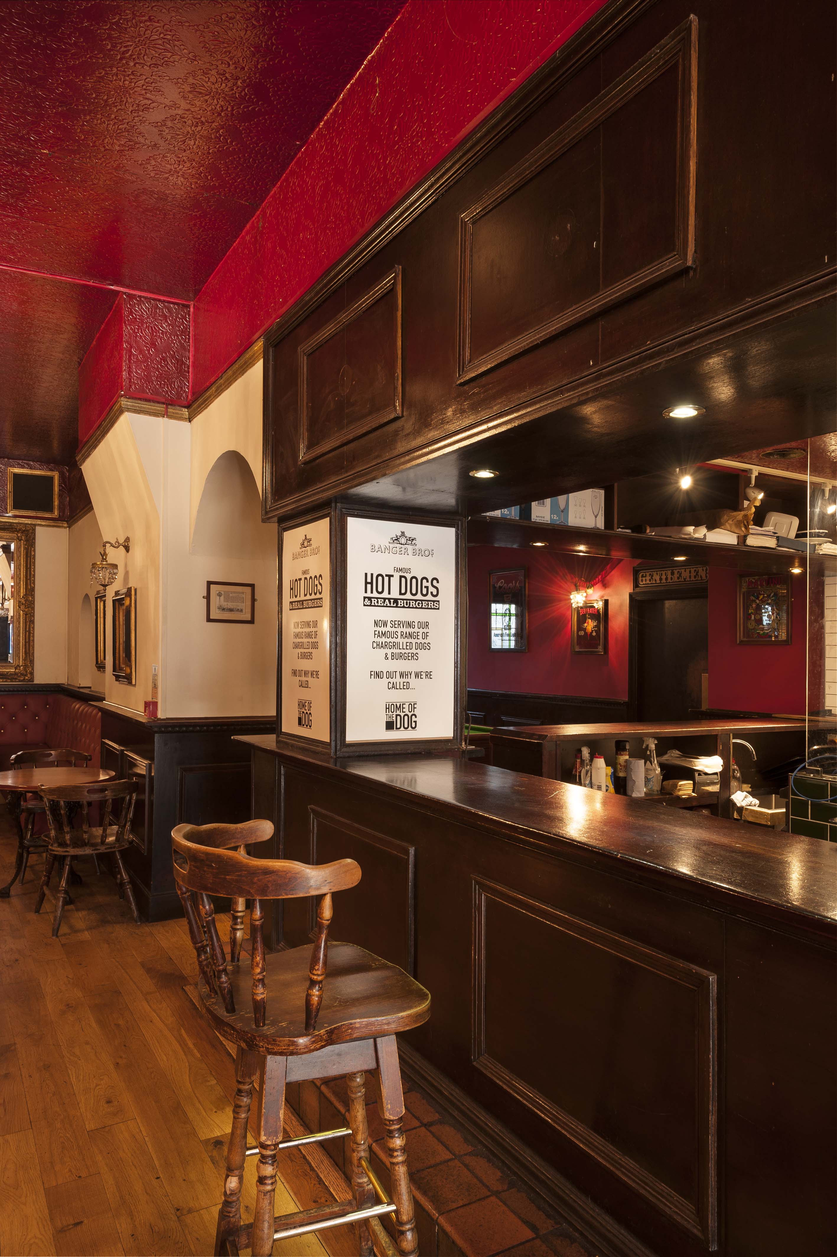
"id": 1116,
"title": "The Blind Beggar, interior detail in 2018",
"author": {
"id": 27,
"username": "DerekKendall"
},
"feature": {
"id": 521,
"type": "Feature",
"geometry": {
"type": "MultiPolygon",
"coordinates": [
[
[
[
-0.057044351749301,
51.52005556326038
],
[
-0.057062845054071,
51.52008733971823
],
[
-0.057006580922032,
51.52009916710701
],
[
-0.056992538373997,
51.520075225540054
],
[
-0.056933469956532,
51.520088559604176
],
[
-0.05684130439071,
51.51992730823853
],
[
-0.056960904550882,
51.519899865751334
],
[
-0.057044351749301,
51.52005556326038
]
]
]
]
},
"properties": {
"b_number": "337",
"b_name": "The Blind Beggar public house",
"street": "Whitechapel Road",
"address": "The Blind Beggar, 337 Whitechapel Road",
"feature_type": "WHITECHAPEL_BUILDING",
"count": 9,
"search_str": "The Blind Beggar public house"
},
"tags": []
},
"file": "https://surveyoflondon.org/media/uploads/features/521/SoL%20Whitechapel%20101740.jpg",
"description": "",
"copyright": true,
"created": "2018-01-29"
},
{
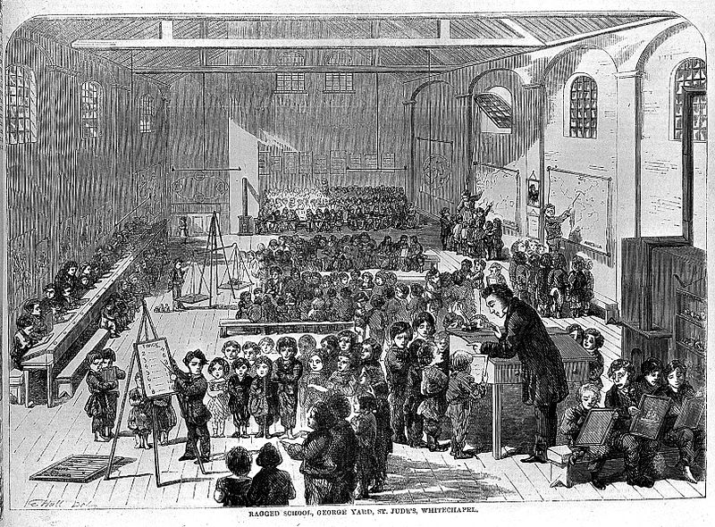
"id": 144,
"title": "Ragged School, George Yard, St. Jude's, Whitechapel",
"author": {
"id": 12,
"username": "amymilnesmith"
},
"feature": {
"id": 386,
"type": "Feature",
"geometry": {
"type": "MultiPolygon",
"coordinates": [
[
[
[
-0.070751376578271,
51.51601331163716
],
[
-0.070751376144794,
51.51601330487933
],
[
-0.070898937798065,
51.51596774480417
],
[
-0.070984429528989,
51.51608192563031
],
[
-0.070836041479026,
51.51612594236591
],
[
-0.070751387378133,
51.516013308113315
],
[
-0.070751376578271,
51.51601331163716
]
]
]
]
},
"properties": {
"b_number": "1",
"b_name": "Nagpal House, site of George Yard Ragged School",
"street": "Gunthorpe Street",
"address": "Nagpal House, 1 Gunthorpe Street, E1 7RG",
"feature_type": "WHITECHAPEL_BUILDING",
"count": 4,
"search_str": "Nagpal House, site of George Yard Ragged School"
},
"tags": []
},
"file": "https://surveyoflondon.org/media/uploads/features/399/800px-Child_welfare%3B_Ragged_School%2C_Whitechapel%2C_19thC_Wellcome_L0002066.jpg",
"description": "",
"copyright": false,
"created": "2016-07-17"
},
{
"id": 769,
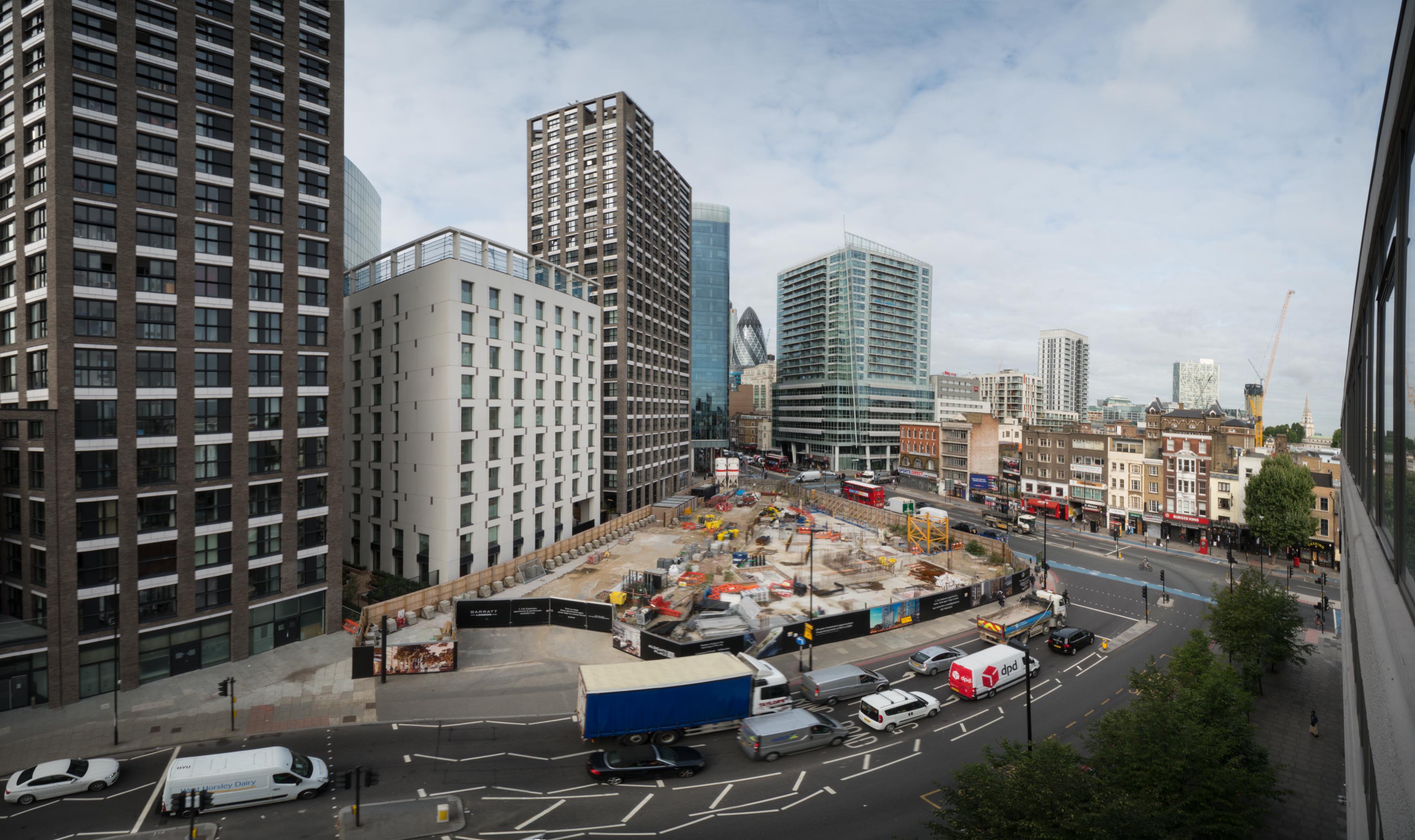
"title": "Site of the former Gardiner's Corner, August 2017",
"author": {
"id": 27,
"username": "DerekKendall"
},
"feature": {
"id": 1440,
"type": "Feature",
"geometry": {
"type": "MultiPolygon",
"coordinates": [
[
[
[
-0.071358974125237,
51.51518482253958
],
[
-0.071350073326624,
51.515220031634875
],
[
-0.070983113437351,
51.515314714709994
],
[
-0.071030492335444,
51.51515189362231
],
[
-0.071358974125237,
51.51518482253958
]
]
]
]
},
"properties": {
"b_number": "",
"b_name": "Aldgate Place",
"street": "Whitechapel High Street",
"address": "Aldgate Place, Whitechapel High Street",
"feature_type": "WHITECHAPEL_BUILDING",
"count": 8,
"search_str": "Aldgate Place"
},
"tags": []
},
"file": "https://surveyoflondon.org/media/uploads/features/1440/SoL%20Whitechapel%20101386.jpg",
"description": "",
"copyright": true,
"created": "2017-09-12"
},
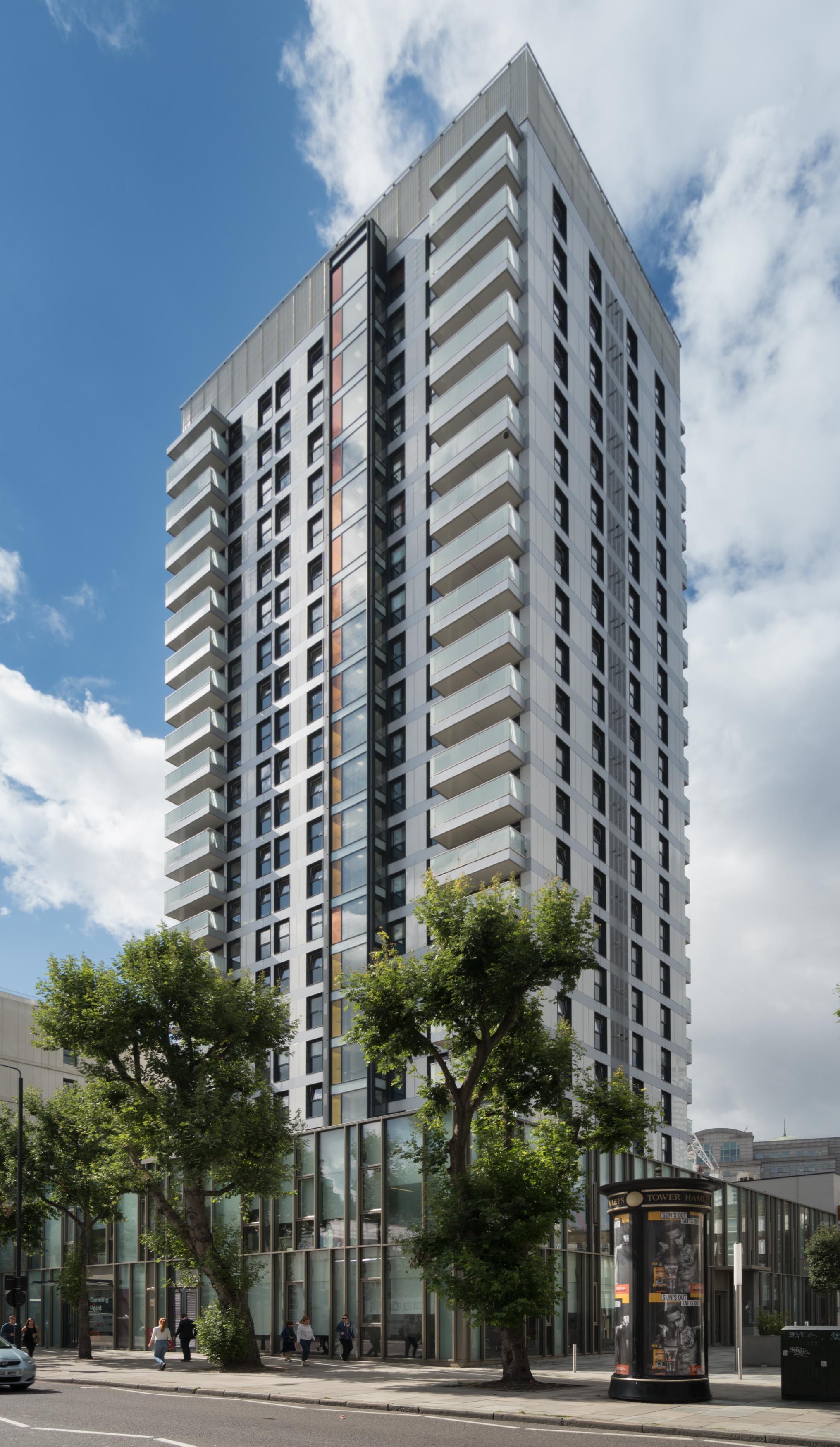
{
"id": 886,
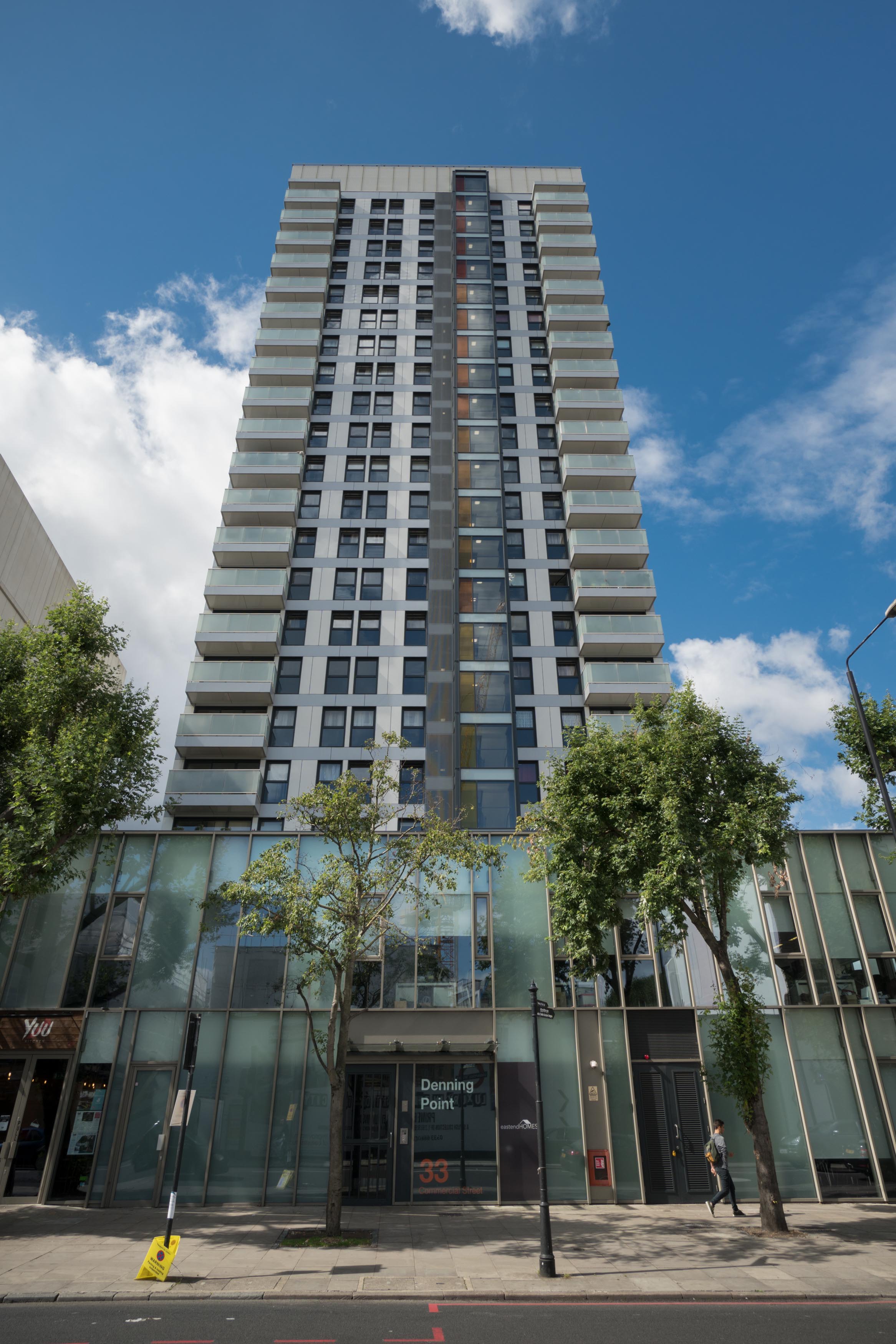
"title": "The new entrance to Denning Point",
"author": {
"id": 27,
"username": "DerekKendall"
},
"feature": {
"id": 418,
"type": "Feature",
"geometry": {
"type": "MultiPolygon",
"coordinates": [
[
[
[
-0.072746598508902,
51.51606954342789
],
[
-0.072960598509013,
51.51600294342786
],
[
-0.073204179460588,
51.516286636711484
],
[
-0.07309813858896,
51.51632069440908
],
[
-0.073209924770563,
51.51645628282147
],
[
-0.073448547413177,
51.516379700226935
],
[
-0.073388848290212,
51.51630691952966
],
[
-0.073540198509107,
51.51626194342803
],
[
-0.073676298509083,
51.516416243428104
],
[
-0.073207798508838,
51.51657004342822
],
[
-0.072746598508902,
51.51606954342789
]
]
]
]
},
"properties": {
"b_number": "3",
"b_name": "3 Resolution Plaza ",
"street": "3 Resolution Plaza",
"address": "3 Resolution Plaza",
"feature_type": "WHITECHAPEL_BUILDING",
"count": 4,
"search_str": "3 Resolution Plaza "
},
"tags": []
},
"file": "https://surveyoflondon.org/media/uploads/features/418/SoL%20Whitechapel%20101310.jpg",
"description": "",
"copyright": true,
"created": "2017-09-26"
},
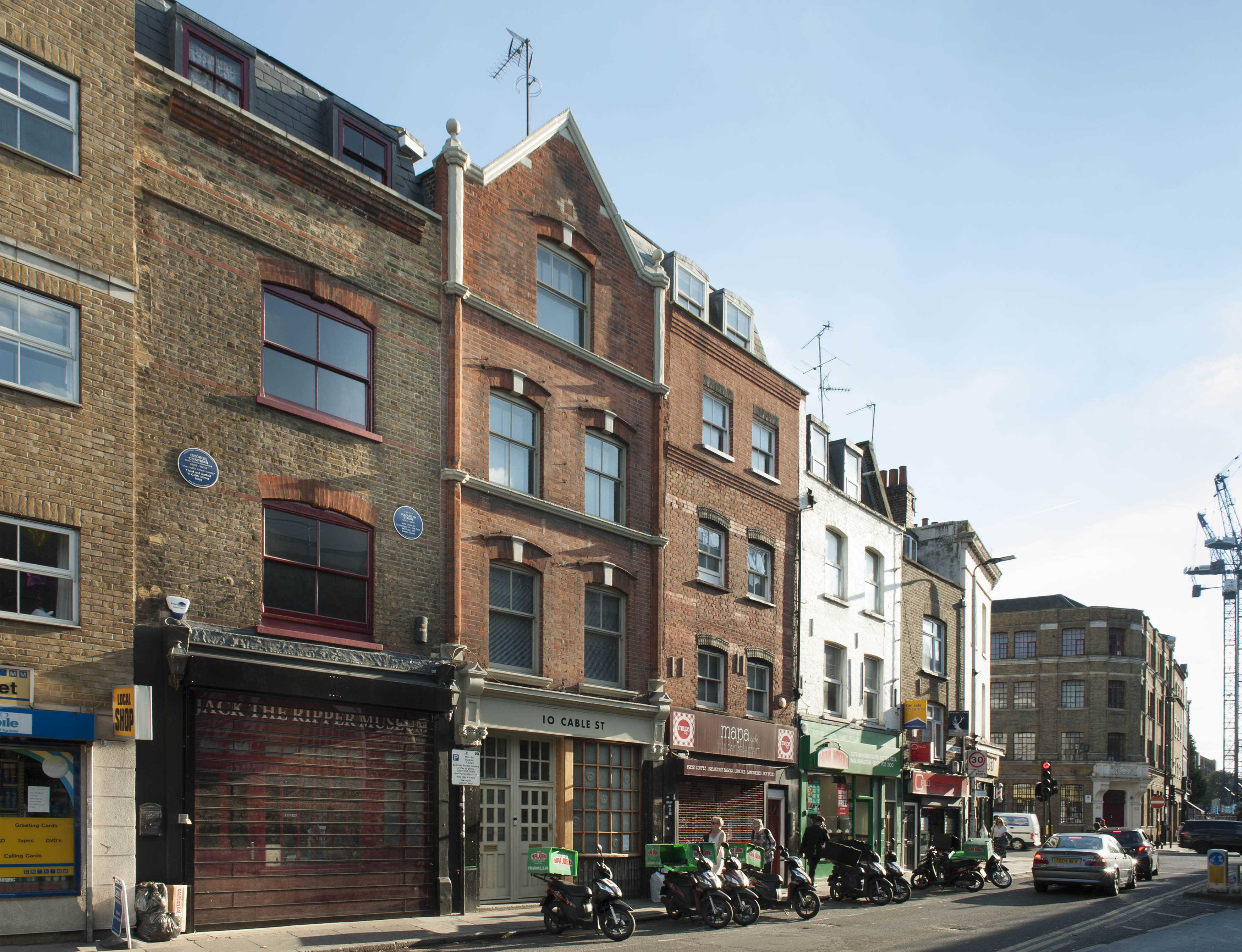
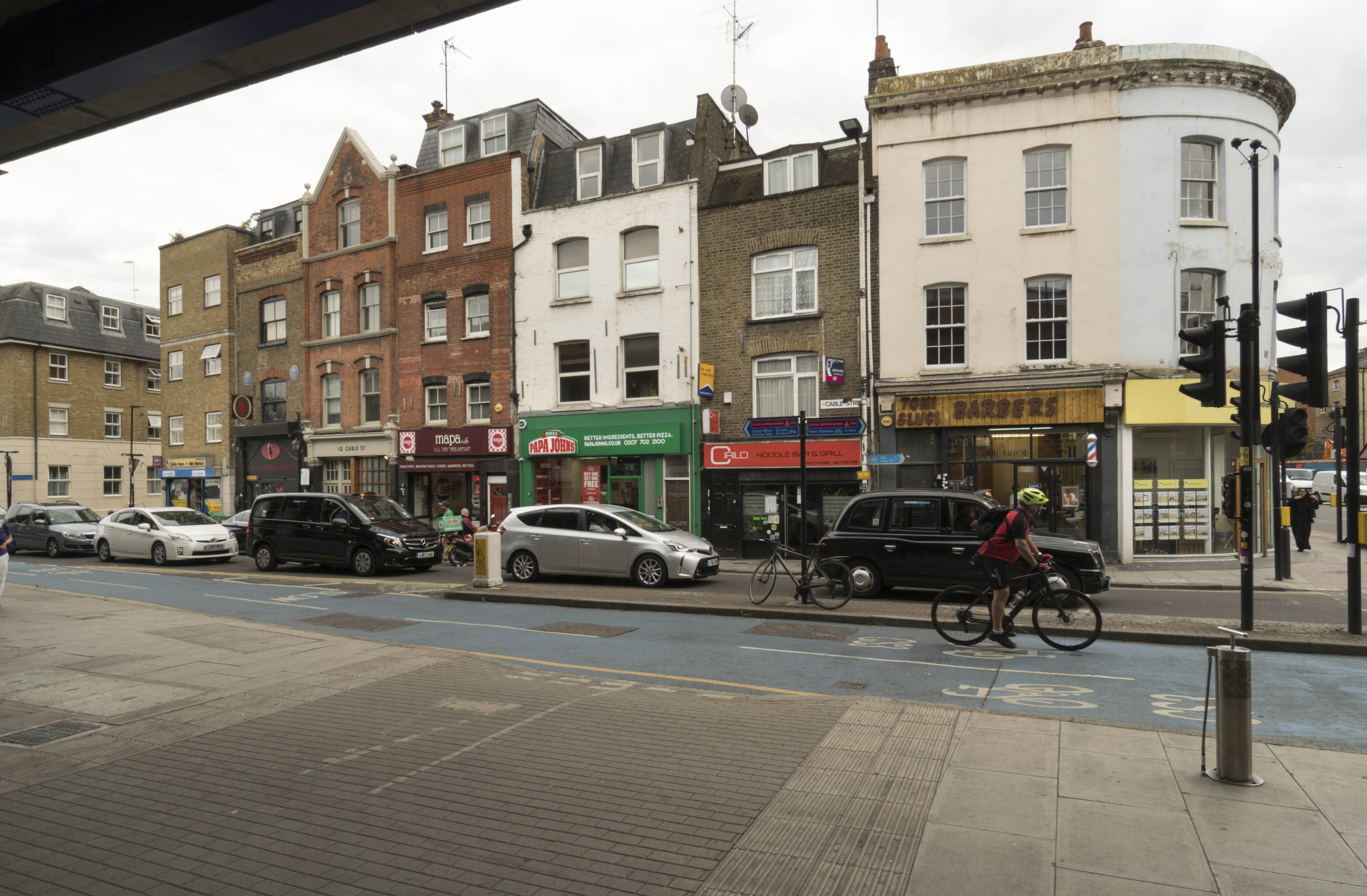
{
"id": 1311,
"title": "2-12 Cable Street from the northeast in 2018",
"author": {
"id": 27,
"username": "DerekKendall"
},
"feature": {
"id": 1376,
"type": "Feature",
"geometry": {
"type": "MultiPolygon",
"coordinates": [
[
[
[
-0.067940770062805,
51.510695148477346
],
[
-0.067956121490136,
51.51075409026937
],
[
-0.067956121490136,
51.51075409026937
],
[
-0.067887886383568,
51.51075590403737
],
[
-0.067875349403458,
51.51069988445148
],
[
-0.067940770062805,
51.510695148477346
]
]
]
]
},
"properties": {
"b_number": "12",
"b_name": "Jack the Ripper Museum, 12 Cable Street",
"street": "Cable Street",
"address": "Jack the Ripper Museum, 12 Cable Street",
"feature_type": "WHITECHAPEL_BUILDING",
"count": 8,
"search_str": "Jack the Ripper Museum, 12 Cable Street"
},
"tags": [
"Charles Henry Harrod"
]
},
"file": "https://surveyoflondon.org/media/uploads/features/1376/SoL%20Whitechapel%20102061.jpg",
"description": "",
"copyright": true,
"created": "2018-08-13"
},
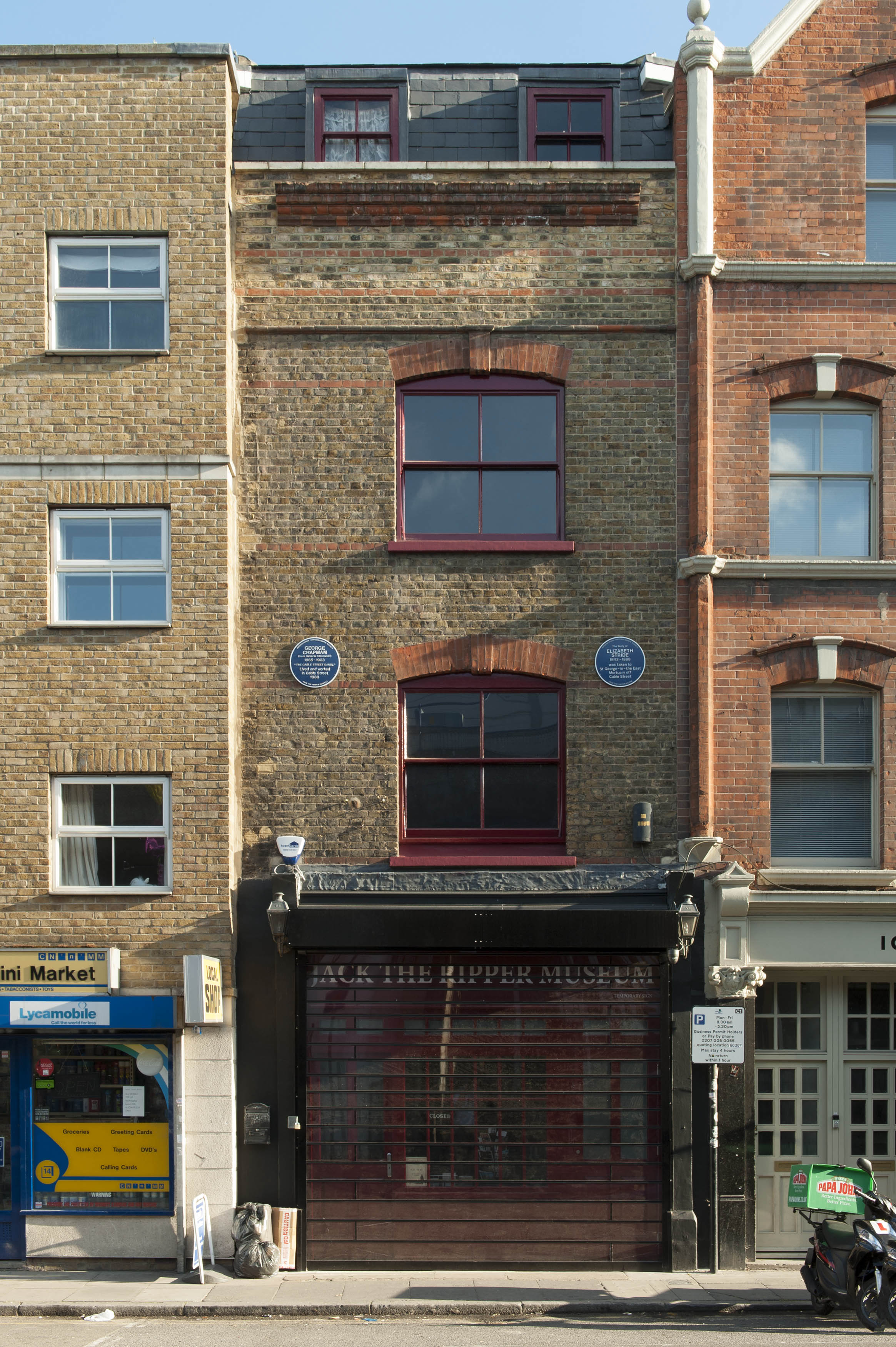
{
"id": 1312,
"title": "12 Cable Street in 2018",
"author": {
"id": 27,
"username": "DerekKendall"
},
"feature": {
"id": 1376,
"type": "Feature",
"geometry": {
"type": "MultiPolygon",
"coordinates": [
[
[
[
-0.067940770062805,
51.510695148477346
],
[
-0.067956121490136,
51.51075409026937
],
[
-0.067956121490136,
51.51075409026937
],
[
-0.067887886383568,
51.51075590403737
],
[
-0.067875349403458,
51.51069988445148
],
[
-0.067940770062805,
51.510695148477346
]
]
]
]
},
"properties": {
"b_number": "12",
"b_name": "Jack the Ripper Museum, 12 Cable Street",
"street": "Cable Street",
"address": "Jack the Ripper Museum, 12 Cable Street",
"feature_type": "WHITECHAPEL_BUILDING",
"count": 8,
"search_str": "Jack the Ripper Museum, 12 Cable Street"
},
"tags": [
"Charles Henry Harrod"
]
},
"file": "https://surveyoflondon.org/media/uploads/features/1376/SoL%20Whitechapel%20102062.jpg",
"description": "",
"copyright": true,
"created": "2018-08-13"
},
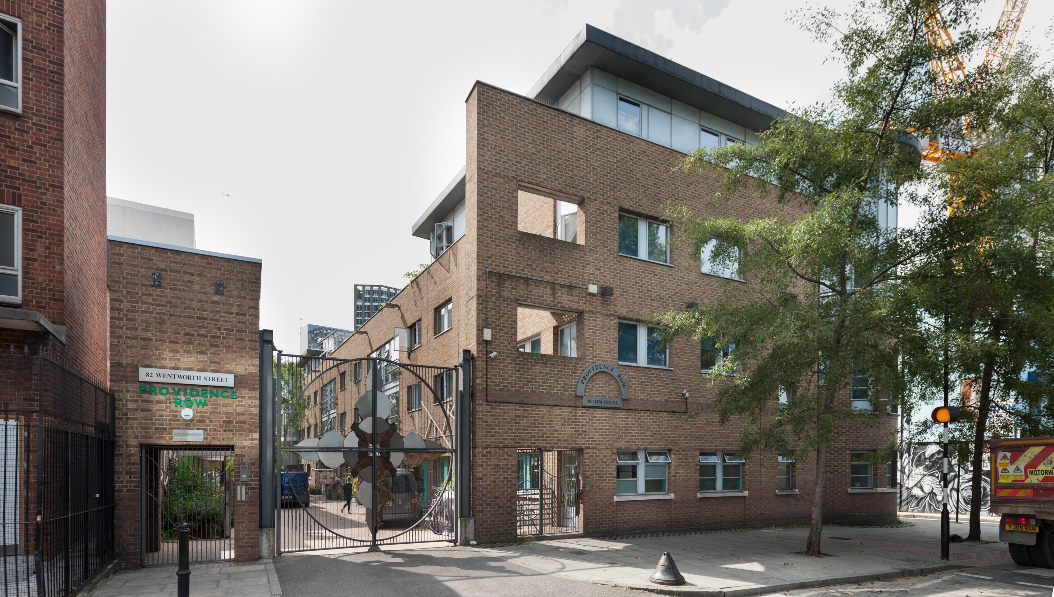
{
"id": 915,
"title": "Dellow Centre from the north, August 2017",
"author": {
"id": 27,
"username": "DerekKendall"
},
"feature": {
"id": 364,
"type": "Feature",
"geometry": {
"type": "MultiPolygon",
"coordinates": [
[
[
[
-0.071489806542886,
51.517023172539695
],
[
-0.071243898612021,
51.51660982272529
],
[
-0.071190306454479,
51.516576885746375
],
[
-0.071306299769721,
51.51654960254589
],
[
-0.071326638948875,
51.51652155453997
],
[
-0.071374403242583,
51.5165233420156
],
[
-0.07170710495994,
51.516972518185476
],
[
-0.071689530249958,
51.51699956808665
],
[
-0.071662895989952,
51.51700659921577
],
[
-0.071622347338577,
51.51700294482352
],
[
-0.071489806542886,
51.517023172539695
]
]
]
]
},
"properties": {
"b_number": "82",
"b_name": "The Dellow Centre",
"street": "Wentworth Street",
"address": "Providence Row, The Dellow Centre, 82 Wentworth Street",
"feature_type": "WHITECHAPEL_BUILDING",
"count": 13,
"search_str": "The Dellow Centre"
},
"tags": []
},
"file": "https://surveyoflondon.org/media/uploads/features/364/SoL%20Whitechapel%20101453.jpg",
"description": "",
"copyright": true,
"created": "2017-09-26"
},
{
"id": 921,
"title": "Detail of Arthur Szyk signage, 1935",
"author": {
"id": 27,
"username": "DerekKendall"
},
"feature": {
"id": 320,
"type": "Feature",
"geometry": {
"type": "MultiPolygon",
"coordinates": [
[
[
[
-0.070675600100611,
51.515794184070096
],
[
-0.070769995134563,
51.515756153916136
],
[
-0.070851493267144,
51.51583890762329
],
[
-0.070808897803058,
51.51585538579538
],
[
-0.07083471028347,
51.5158819522166
],
[
-0.070898937798067,
51.5159677448042
],
[
-0.070852952784197,
51.51598194280654
],
[
-0.070675600100611,
51.515794184070096
]
]
]
]
},
"properties": {
"b_number": "88",
"b_name": "88 Whitechapel High Street",
"street": "Whitechapel High Street",
"address": "88 Whitechapel High Street, London E1 7QX",
"feature_type": "WHITECHAPEL_BUILDING",
"count": 5,
"search_str": "88 Whitechapel High Street"
},
"tags": []
},
"file": "https://surveyoflondon.org/media/uploads/features/320/SoL%20Whitechapel%20101473.jpg",
"description": "",
"copyright": true,
"created": "2017-09-26"
},
{
"id": 710,
"title": "Railway pier on Leman Street from the south-west in 2017",
"author": {
"id": 27,
"username": "DerekKendall"
},
"feature": {
"id": 1284,
"type": "Feature",
"geometry": {
"type": "MultiPolygon",
"coordinates": [
[
[
[
-0.068500275953618,
51.51107508505472
],
[
-0.068478612819023,
51.51106496949243
],
[
-0.068414202464355,
51.51097498722599
],
[
-0.068521626072007,
51.51097035427303
],
[
-0.068532473079143,
51.511074986716515
],
[
-0.068500275953618,
51.51107508505472
]
]
]
]
},
"properties": {
"b_number": "",
"b_name": "",
"street": "Leman Street",
"address": "Pier in middle of Leman Street",
"feature_type": "WHITECHAPEL_BUILDING",
"count": 12,
"search_str": "Pier in middle of Leman Street"
},
"tags": []
},
"file": "https://surveyoflondon.org/media/uploads/features/1284/SoL%20Whitechapel%20101125.jpg",
"description": "",
"copyright": true,
"created": "2017-08-02"
},
{
"id": 692,
"title": "The retained facade of College Buildings, June 2017",
"author": {
"id": 27,
"username": "DerekKendall"
},
"feature": {
"id": 380,
"type": "Feature",
"geometry": {
"type": "MultiPolygon",
"coordinates": [
[
[
[
-0.072206019676478,
51.51693680017776
],
[
-0.07196249597772,
51.51695746576063
],
[
-0.071942669522335,
51.51691176033737
],
[
-0.07193864174443,
51.51687683260662
],
[
-0.0719558598767,
51.51687195131619
],
[
-0.071940018682487,
51.516849661344565
],
[
-0.071948572675229,
51.51684695053907
],
[
-0.071928740996398,
51.51681739256845
],
[
-0.072016766264098,
51.51679133268639
],
[
-0.072069141958081,
51.51685492594651
],
[
-0.072148483627081,
51.51684727546371
],
[
-0.072142511287946,
51.51682066806651
],
[
-0.072177857813757,
51.51681788202521
],
[
-0.072183448760406,
51.51684444436341
],
[
-0.072206188136717,
51.5169328110988
],
[
-0.072206015279985,
51.5169367972863
],
[
-0.072206019676478,
51.51693680017776
]
]
]
]
},
"properties": {
"b_number": "",
"b_name": "College East",
"street": "Gunthorpe Street",
"address": "College East, Gunthorpe Street",
"feature_type": "WHITECHAPEL_BUILDING",
"count": 5,
"search_str": "College East"
},
"tags": []
},
"file": "https://surveyoflondon.org/media/uploads/features/380/SoL%20Whitechapel%20100815.jpg",
"description": "When College East flats were built in the 1980s, the surviving part of College Buildings, dwellings also built by Toynbee Hall a century before in 1886, was demolished, retaining only one bay of the facade. When the 1980s College East was itself demolished in 2016-17, the 1886 frontage was retained again, standing alone propped up until the new flats are built around it.",
"copyright": true,
"created": "2017-07-20"
},
{
"id": 835,
"title": "Detail of loophole doors, August 2017",
"author": {
"id": 27,
"username": "DerekKendall"
},
"feature": {
"id": 44,
"type": "Feature",
"geometry": {
"type": "MultiPolygon",
"coordinates": [
[
[
[
-0.072784603564218,
51.5126980555633
],
[
-0.072798831781275,
51.51279415378411
],
[
-0.072652036138757,
51.51280335953512
],
[
-0.072635717286442,
51.51270592523098
],
[
-0.072784603564218,
51.5126980555633
]
]
]
]
},
"properties": {
"b_number": "31",
"b_name": "",
"street": "West Tenter Street",
"address": "31 West Tenter Street",
"feature_type": "WHITECHAPEL_BUILDING",
"count": 4,
"search_str": "31 West Tenter Street"
},
"tags": []
},
"file": "https://surveyoflondon.org/media/uploads/features/44/SoL%20Whitechapel%20101569.jpg",
"description": "",
"copyright": true,
"created": "2017-09-12"
},
{
"id": 836,
"title": "Looking down West Tenter Street, August 2017",
"author": {
"id": 27,
"username": "DerekKendall"
},
"feature": {
"id": 44,
"type": "Feature",
"geometry": {
"type": "MultiPolygon",
"coordinates": [
[
[
[
-0.072784603564218,
51.5126980555633
],
[
-0.072798831781275,
51.51279415378411
],
[
-0.072652036138757,
51.51280335953512
],
[
-0.072635717286442,
51.51270592523098
],
[
-0.072784603564218,
51.5126980555633
]
]
]
]
},
"properties": {
"b_number": "31",
"b_name": "",
"street": "West Tenter Street",
"address": "31 West Tenter Street",
"feature_type": "WHITECHAPEL_BUILDING",
"count": 4,
"search_str": "31 West Tenter Street"
},
"tags": []
},
"file": "https://surveyoflondon.org/media/uploads/features/44/SoL%20Whitechapel%20101567.jpg",
"description": "",
"copyright": true,
"created": "2017-09-12"
},
{
"id": 885,
"title": "Denning Point form the north east, August 2017",
"author": {
"id": 27,
"username": "DerekKendall"
},
"feature": {
"id": 1454,
"type": "Feature",
"geometry": {
"type": "MultiPolygon",
"coordinates": [
[
[
[
-0.073448547413177,
51.516379700226935
],
[
-0.073336799805522,
51.51624409264526
],
[
-0.07309813858896,
51.51632069440908
],
[
-0.073209924770563,
51.51645628282147
],
[
-0.073448547413177,
51.516379700226935
]
]
]
]
},
"properties": {
"b_number": "33",
"b_name": "Denning Point",
"street": "Commercial Street",
"address": "Denning Point, 33 Commercial Street, London",
"feature_type": "WHITECHAPEL_BUILDING",
"count": 5,
"search_str": "Denning Point"
},
"tags": []
},
"file": "https://surveyoflondon.org/media/uploads/features/1454/SoL%20Whitechapel%20101303.jpg",
"description": "",
"copyright": true,
"created": "2017-09-26"
},
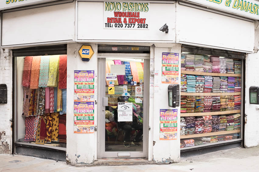
{
"id": 411,
"title": "Shop on Wentworth Street",
"author": {
"id": 56,
"username": "tamara"
},
"feature": {
"id": 1742,
"type": "Feature",
"geometry": {
"type": "MultiPolygon",
"coordinates": [
[
[
[
-0.076387722492951,
51.516257872286374
],
[
-0.07580974439088,
51.51649846859169
],
[
-0.075744693982384,
51.51651411423466
],
[
-0.075332716624042,
51.51665341173461
],
[
-0.075277819023276,
51.516667372076085
],
[
-0.074429584483841,
51.51681699796736
],
[
-0.074402209988697,
51.516763242480046
],
[
-0.075229889371391,
51.51661092868018
],
[
-0.074836715281391,
51.516135055700595
],
[
-0.074917049606191,
51.51611135328064
],
[
-0.075312012611936,
51.51658616747119
],
[
-0.075695505281233,
51.51646463519818
],
[
-0.075779072585588,
51.51644696856364
],
[
-0.076328753388395,
51.516209038390684
],
[
-0.076387722492951,
51.516257872286374
]
]
]
]
},
"properties": {
"b_number": "",
"b_name": "",
"street": "",
"address": "Petticoat Lane Market",
"feature_type": "PLACE",
"count": 39,
"search_str": "Petticoat Lane Market"
},
"tags": []
},
"file": "https://surveyoflondon.org/media/uploads/features/1742/tstoll10.jpg",
"description": "Documenting the streets of Petticoat Lane market, image taken in 2016 by Tamara Stoll. A view of Novo Fashions, 19 Wentworth Street, on the corner with Leyden Street on the Spitalfields side of Wentworth Street.",
"copyright": false,
"created": "2016-09-25"
},
{
"id": 729,
"title": "Bollards on Ensign Street marking the site of the Royal Brunswick Theatre, in 2017",
"author": {
"id": 27,
"username": "DerekKendall"
},
"feature": {
"id": 1370,
"type": "Feature",
"geometry": {
"type": "MultiPolygon",
"coordinates": [
[
[
[
-0.067783647338447,
51.51017527172947
],
[
-0.067575803709333,
51.51021492278667
],
[
-0.067558594183028,
51.510218286467044
],
[
-0.067466520880171,
51.51002935056337
],
[
-0.06767269738543,
51.509992670709266
],
[
-0.067723633842387,
51.510108640950456
],
[
-0.067752148490552,
51.510104986424565
],
[
-0.067783647338447,
51.51017527172947
]
]
]
]
},
"properties": {
"b_number": "18",
"b_name": "",
"street": "Ensign Street",
"address": "18 Ensign Street",
"feature_type": "WHITECHAPEL_BUILDING",
"count": 8,
"search_str": "18 Ensign Street"
},
"tags": [
"Board of Trade",
"John Hudson",
"merchant navy",
"Walter Gladding"
]
},
"file": "https://surveyoflondon.org/media/uploads/features/1370/SoL%20Whitechapel%20101168.jpg",
"description": "",
"copyright": true,
"created": "2017-08-02"
},
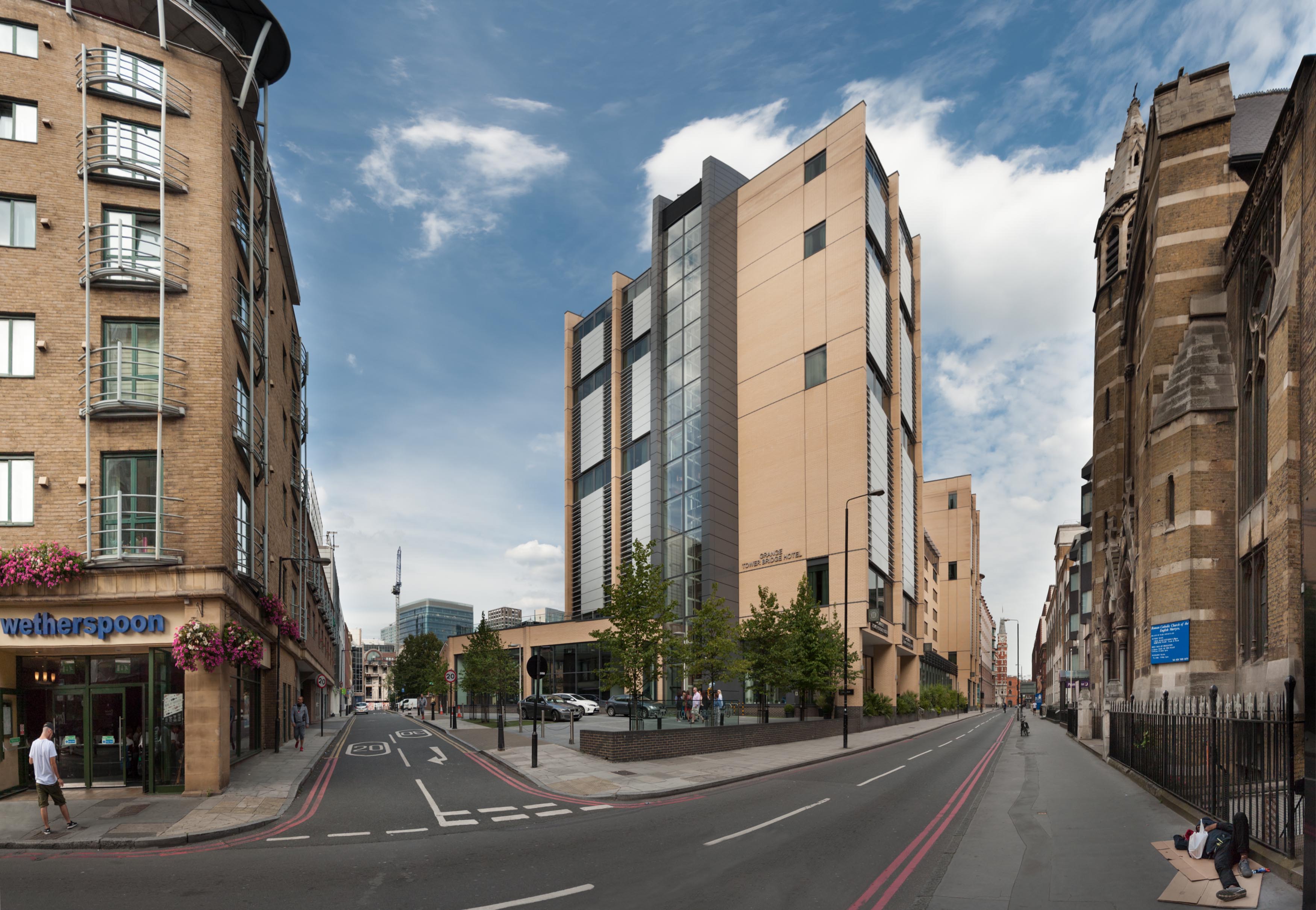
{
"id": 795,
"title": "Looking north east, August 2017",
"author": {
"id": 27,
"username": "DerekKendall"
},
"feature": {
"id": 1300,
"type": "Feature",
"geometry": {
"type": "MultiPolygon",
"coordinates": [
[
[
[
-0.072018212922805,
51.51147628030763
],
[
-0.072052072692605,
51.51156221854503
],
[
-0.072085986468046,
51.51155809766486
],
[
-0.072101265381627,
51.51159577638534
],
[
-0.072127686647318,
51.511591532313886
],
[
-0.072290889738566,
51.51172170278547
],
[
-0.072119151026891,
51.51174928937695
],
[
-0.072122403786088,
51.51176103895535
],
[
-0.072105446824984,
51.5117630994011
],
[
-0.072108304763041,
51.51178419937112
],
[
-0.071885842818874,
51.51181446054336
],
[
-0.071879189342706,
51.511794467771026
],
[
-0.071847148514896,
51.51179861938816
],
[
-0.071855625760368,
51.51181981175974
],
[
-0.071361209248715,
51.511898232521865
],
[
-0.071350859076592,
51.51187700931015
],
[
-0.071307529911615,
51.511882144735054
],
[
-0.071317781319065,
51.51190570554704
],
[
-0.071085755053542,
51.511940486344606
],
[
-0.071075306243067,
51.51192160070628
],
[
-0.070964099345331,
51.51193614595924
],
[
-0.070906585311218,
51.51178899853778
],
[
-0.070963125166791,
51.51178174135644
],
[
-0.070944397155318,
51.51173698808256
],
[
-0.070980233670712,
51.511731729539896
],
[
-0.070948150179626,
51.51164815942462
],
[
-0.071216011443844,
51.51160812026722
],
[
-0.071244694749225,
51.51168344710922
],
[
-0.071271066766769,
51.51168037203055
],
[
-0.071247657198011,
51.51161331920844
],
[
-0.071713727035037,
51.5115402808737
],
[
-0.071737334702225,
51.51160265841552
],
[
-0.071769326040543,
51.511599675625625
],
[
-0.071738916869541,
51.51152081170581
],
[
-0.072018212922805,
51.51147628030763
]
]
]
]
},
"properties": {
"b_number": "45",
"b_name": "",
"street": "Prescot Street",
"address": "Leonardo Royal Hotel Tower Bridge, 45 Prescot Street",
"feature_type": "WHITECHAPEL_BUILDING",
"count": 4,
"search_str": "Leonardo Royal Hotel Tower Bridge, 45 Prescot Street"
},
"tags": []
},
"file": "https://surveyoflondon.org/media/uploads/features/1300/SoL%20Whitechapel%20101522.jpg",
"description": "",
"copyright": true,
"created": "2017-09-12"
},
{
"id": 711,
"title": "2-14 Cable Street from the north in 2017",
"author": {
"id": 27,
"username": "DerekKendall"
},
"feature": {
"id": 1367,
"type": "Feature",
"geometry": {
"type": "MultiPolygon",
"coordinates": [
[
[
[
-0.068280626941554,
51.51066731775845
],
[
-0.068304836027203,
51.51073531158041
],
[
-0.068245676894044,
51.510744647693585
],
[
-0.068229123218739,
51.51067344595373
],
[
-0.068280626941554,
51.51066731775845
]
]
]
]
},
"properties": {
"b_number": "2",
"b_name": "",
"street": "Cable Street",
"address": "2 Cable Street",
"feature_type": "WHITECHAPEL_BUILDING",
"count": 4,
"search_str": "2 Cable Street"
},
"tags": []
},
"file": "https://surveyoflondon.org/media/uploads/features/1367/SoL%20Whitechapel%20101132.jpg",
"description": "",
"copyright": true,
"created": "2017-08-02"
},
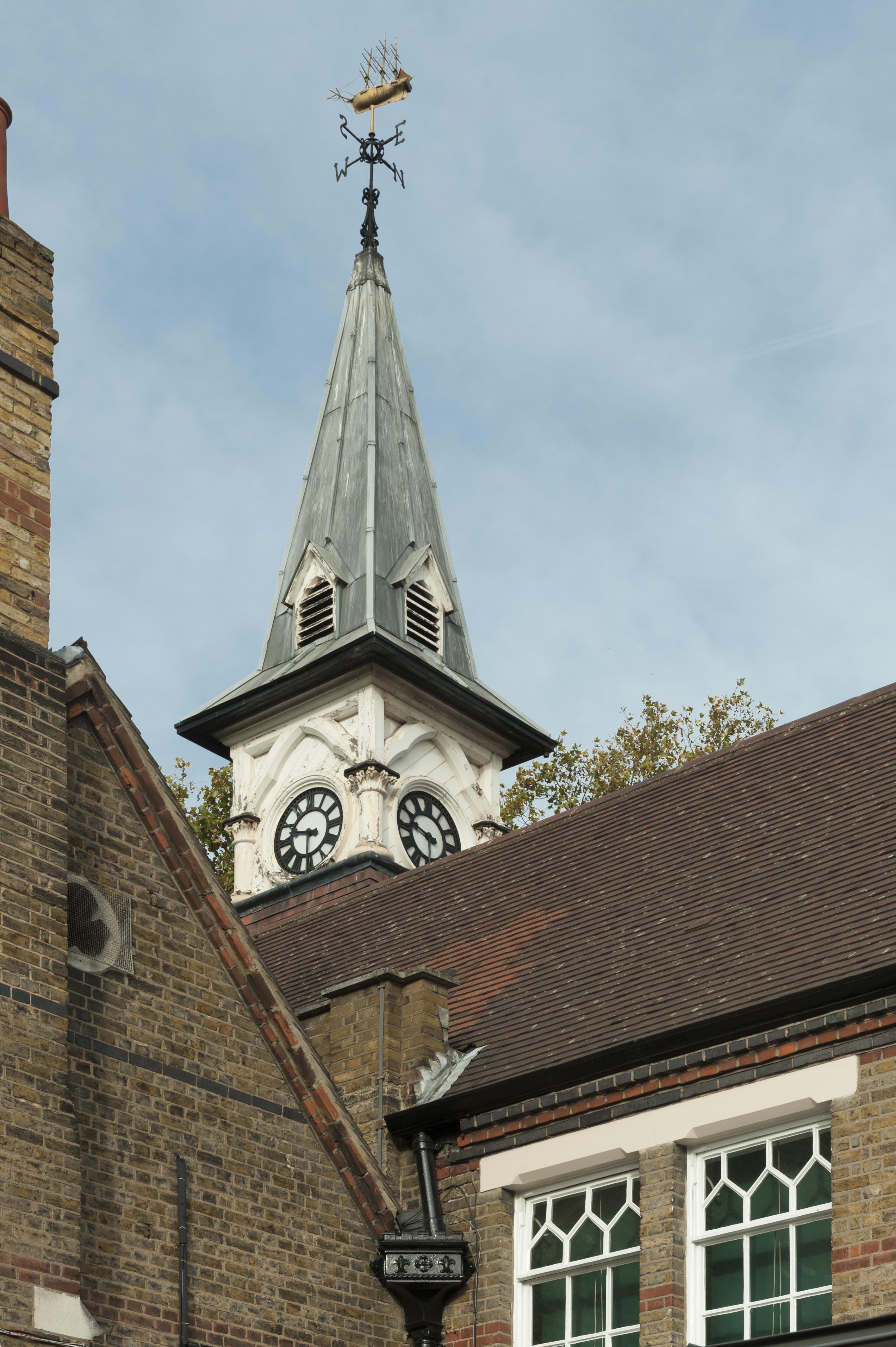
{
"id": 1435,
"title": "St Paul's School, clocktower from the southeast, October 2018",
"author": {
"id": 27,
"username": "DerekKendall"
},
"feature": {
"id": 1399,
"type": "Feature",
"geometry": {
"type": "MultiPolygon",
"coordinates": [
[
[
[
-0.06624311370635,
51.51019072010641
],
[
-0.066077627531148,
51.510204269850675
],
[
-0.066069527116146,
51.510170337345684
],
[
-0.06611551384684,
51.51016638639934
],
[
-0.066109726117682,
51.51014703372793
],
[
-0.065814585354416,
51.5101673738921
],
[
-0.065821533323482,
51.51022330153386
],
[
-0.065683910471039,
51.51023360737856
],
[
-0.065657889334494,
51.51008339520407
],
[
-0.065349361164399,
51.51010853754948
],
[
-0.06532938777826,
51.510008209650636
],
[
-0.065633994165545,
51.509987653756085
],
[
-0.065620188745178,
51.50991765971934
],
[
-0.065722948991599,
51.50991121538507
],
[
-0.065716780377172,
51.509880881568165
],
[
-0.065901817537395,
51.50986765480321
],
[
-0.06593178354119,
51.50999605393065
],
[
-0.066038317356042,
51.509988508785376
],
[
-0.066023042932445,
51.50990918839897
],
[
-0.065998737156917,
51.50991111308007
],
[
-0.065980280001972,
51.50981894970597
],
[
-0.066320560006103,
51.50979200375635
],
[
-0.06632996113982,
51.50983401855985
],
[
-0.066268265775343,
51.50983881506029
],
[
-0.066265082872055,
51.50982597208467
],
[
-0.066214609325215,
51.509829790835916
],
[
-0.066234584593038,
51.50993011860635
],
[
-0.066179431061551,
51.509934441553284
],
[
-0.066189455574639,
51.5099837339709
],
[
-0.066197871962622,
51.509983000685985
],
[
-0.066205558541818,
51.510021498909204
],
[
-0.066199016557763,
51.510021972412325
],
[
-0.066209250254486,
51.51006632649741
],
[
-0.066216245469672,
51.51006615116071
],
[
-0.066221862792188,
51.51009851070753
],
[
-0.066214365136205,
51.51009954983773
],
[
-0.066220460291682,
51.51013162657133
],
[
-0.06623170678327,
51.51013006787535
],
[
-0.06624311370635,
51.51019072010641
]
]
]
]
},
"properties": {
"b_number": "",
"b_name": "St Paul's School",
"street": "Wellclose Square",
"address": "St Paul's School, Wellclose Square",
"feature_type": "WHITECHAPEL_BUILDING",
"count": 22,
"search_str": "St Paul's School"
},
"tags": [
"Rev. Dan Greatorex",
"Thomas F. Ford and Partners",
"Wilby & Burnett"
]
},
"file": "https://surveyoflondon.org/media/uploads/features/1399/SoL%20Whitechapel%20102318.jpg",
"description": "",
"copyright": true,
"created": "2018-11-13"
},
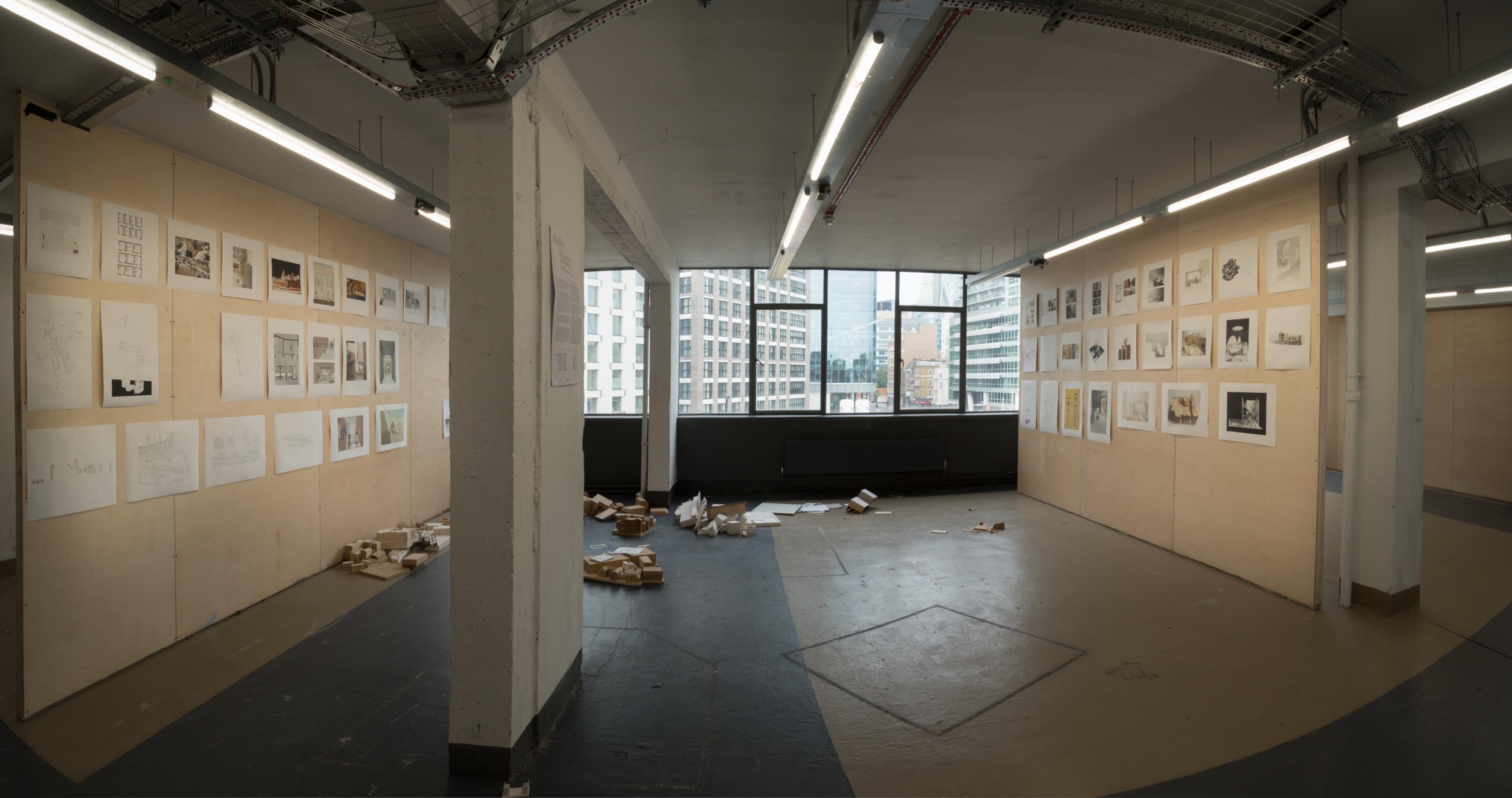
{
"id": 772,
"title": "Remnants of the degree show, August 2017",
"author": {
"id": 27,
"username": "DerekKendall"
},
"feature": {
"id": 13,
"type": "Feature",
"geometry": {
"type": "MultiPolygon",
"coordinates": [
[
[
[
-0.070300598211778,
51.51553175369474
],
[
-0.069909685041584,
51.51566601870094
],
[
-0.069762598214758,
51.51551508304666
],
[
-0.06980073408505,
51.51550203175569
],
[
-0.069734850402611,
51.515430598241764
],
[
-0.0696935021834,
51.515445550776434
],
[
-0.069553336995274,
51.515279095645894
],
[
-0.069960309630875,
51.51513532543541
],
[
-0.070300598211778,
51.51553175369474
]
]
]
]
},
"properties": {
"b_number": "59-63",
"b_name": "Central House, London Metropolitan University",
"street": "Whitechapel High Street",
"address": "Central House, 59-63 Whitechapel High Street",
"feature_type": "WHITECHAPEL_BUILDING",
"count": 18,
"search_str": "Central House, London Metropolitan University"
},
"tags": []
},
"file": "https://surveyoflondon.org/media/uploads/features/13/SoL%20Whitechapel%20101406.jpg",
"description": "",
"copyright": true,
"created": "2017-09-12"
},
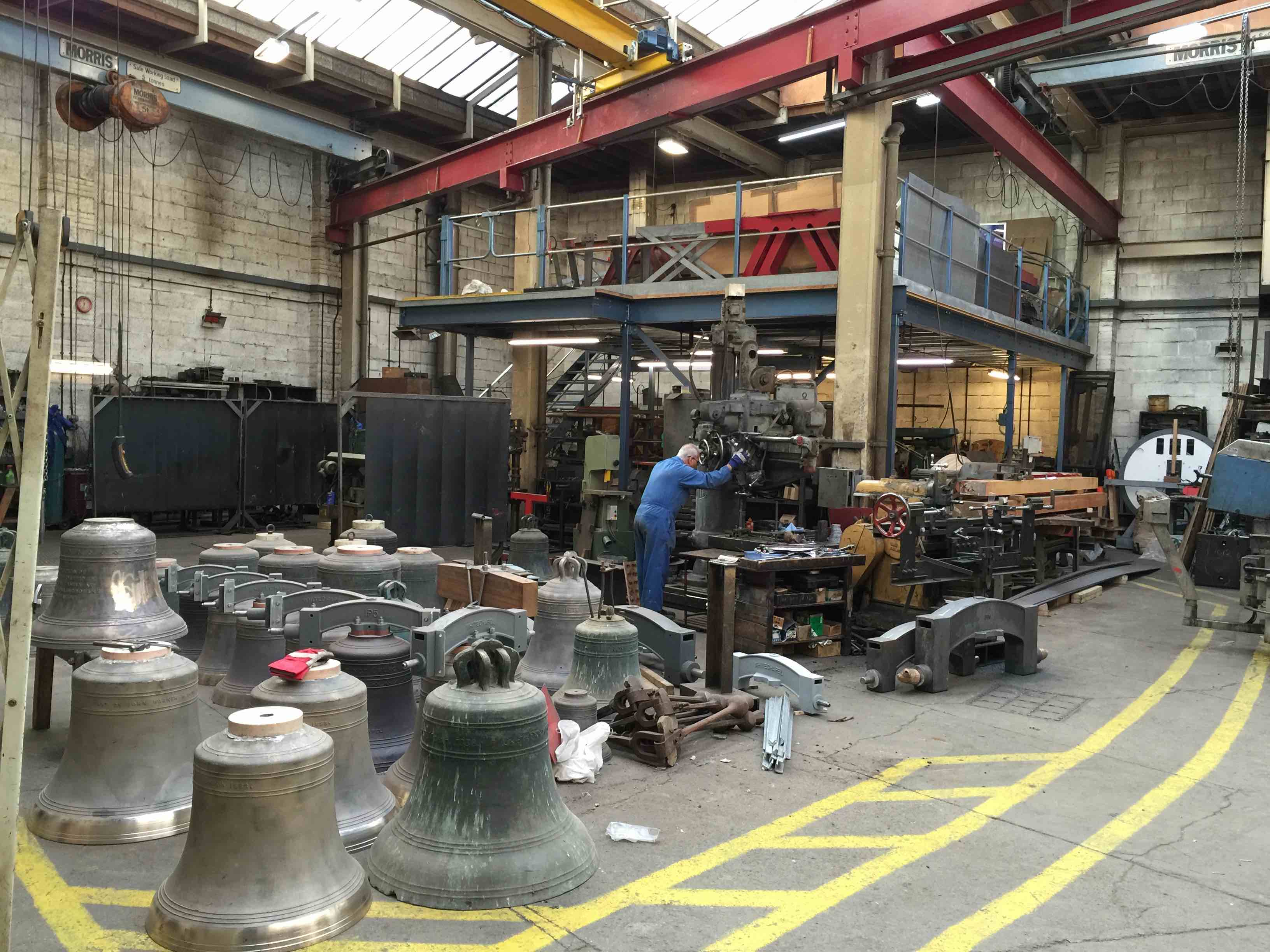
{
"id": 17,
"title": "Interior view of the foundry workshop",
"author": {
"id": 2,
"username": "surveyoflondon"
},
"feature": {
"id": 155,
"type": "Feature",
"geometry": {
"type": "MultiPolygon",
"coordinates": [
[
[
[
-0.067279828395434,
51.51695705948158
],
[
-0.067093469618443,
51.517032789909806
],
[
-0.067051200483431,
51.516996757810816
],
[
-0.067090391118988,
51.51698039038376
],
[
-0.06706090910812,
51.51695688633854
],
[
-0.067015052606677,
51.51697914860705
],
[
-0.067015052606682,
51.516979148607064
],
[
-0.067015052606675,
51.51697914860705
],
[
-0.066983358160437,
51.516951324364136
],
[
-0.066904378563551,
51.516904192470385
],
[
-0.066814855785544,
51.516858952938556
],
[
-0.066749004017844,
51.51678511344983
],
[
-0.066726651062502,
51.51660623379854
],
[
-0.066916087304028,
51.516542881724156
],
[
-0.067063145906456,
51.51668871217051
],
[
-0.067018758534236,
51.51670613616749
],
[
-0.067108196018859,
51.516794826264736
],
[
-0.067132918133769,
51.516785121743794
],
[
-0.067195489248199,
51.51684716970448
],
[
-0.06716822056742,
51.5168577515391
],
[
-0.067184699138495,
51.51687146748573
],
[
-0.067279828395434,
51.51695705948158
]
],
[
[
-0.067093263845335,
51.516893872671716
],
[
-0.067031009970172,
51.516845232635745
],
[
-0.066988676105,
51.51686586339187
],
[
-0.067034303634964,
51.51688439111608
],
[
-0.067057406216514,
51.51690729267392
],
[
-0.067093263845335,
51.516893872671716
]
]
]
]
},
"properties": {
"b_number": "32-34",
"b_name": "Whitechapel Bell Foundry, 32–34 Whitechapel Road",
"street": "Whitechapel Road",
"address": "32-34 Whitechapel Road",
"feature_type": "WHITECHAPEL_BUILDING",
"count": 26,
"search_str": "Whitechapel Bell Foundry, 32–34 Whitechapel Road"
},
"tags": [
"bells",
"foundry"
]
},
"file": "https://surveyoflondon.org/media/uploads/features/155/2016-02-19%2011.32.55%20copy.jpg",
"description": "The workshop was extended in 1970? through the incorporation of the adjacent site...and so on",
"copyright": false,
"created": null
}
]
}