HTTP 200 OK
Allow: GET, HEAD, OPTIONS
Content-Type: application/json
Vary: Accept
{
"count": 1747,
"next": "https://surveyoflondon.org/api/v1/images/?format=api&page=37",
"previous": "https://surveyoflondon.org/api/v1/images/?format=api&page=35",
"results": [
{
"id": 808,
"title": "Alie Street facade, August 2017",
"author": {
"id": 27,
"username": "DerekKendall"
},
"feature": {
"id": 33,
"type": "Feature",
"geometry": {
"type": "MultiPolygon",
"coordinates": [
[
[
[
-0.071865525294463,
51.513635775949055
],
[
-0.071785458230957,
51.51353968533075
],
[
-0.071900260305993,
51.51350038640229
],
[
-0.07197326495485,
51.51359817527253
],
[
-0.071865525294463,
51.513635775949055
]
]
]
]
},
"properties": {
"b_number": "17-19",
"b_name": "",
"street": "Alie Street",
"address": "17-19 Alie Street",
"feature_type": "WHITECHAPEL_BUILDING",
"count": 5,
"search_str": "17-19 Alie Street"
},
"tags": []
},
"file": "https://surveyoflondon.org/media/uploads/features/33/SoL%20Whitechapel%20101551.jpg",
"description": "",
"copyright": true,
"created": "2017-09-12"
},
{
"id": 708,
"title": "1 Dock Street and 2-14 Cable Street from the north in 2017",
"author": {
"id": 27,
"username": "DerekKendall"
},
"feature": {
"id": 1368,
"type": "Feature",
"geometry": {
"type": "MultiPolygon",
"coordinates": [
[
[
[
-0.068304836027203,
51.51073531158041
],
[
-0.068280626941554,
51.51066731775845
],
[
-0.068273645510051,
51.51064349252156
],
[
-0.068344140610016,
51.51063057393707
],
[
-0.068360428462064,
51.51067502754345
],
[
-0.068363636587595,
51.51068728948646
],
[
-0.068362263104961,
51.510697731803
],
[
-0.068356160539397,
51.5107098403773
],
[
-0.068349825933683,
51.51071642196578
],
[
-0.068338811399467,
51.5107235078495
],
[
-0.068328323844215,
51.5107291489489
],
[
-0.068318877871198,
51.510733223642234
],
[
-0.068304836027203,
51.51073531158041
]
]
]
]
},
"properties": {
"b_number": "1",
"b_name": "",
"street": "Dock Street",
"address": "1 Dock Street",
"feature_type": "WHITECHAPEL_BUILDING",
"count": 8,
"search_str": "1 Dock Street"
},
"tags": []
},
"file": "https://surveyoflondon.org/media/uploads/features/1368/SoL%20Whitechapel%20101120.jpg",
"description": "",
"copyright": true,
"created": "2017-08-02"
},
{
"id": 3,
"title": "From Whitechapel Road",
"author": {
"id": 8,
"username": "Harrietb"
},
"feature": {
"id": 155,
"type": "Feature",
"geometry": {
"type": "MultiPolygon",
"coordinates": [
[
[
[
-0.067279828395434,
51.51695705948158
],
[
-0.067093469618443,
51.517032789909806
],
[
-0.067051200483431,
51.516996757810816
],
[
-0.067090391118988,
51.51698039038376
],
[
-0.06706090910812,
51.51695688633854
],
[
-0.067015052606677,
51.51697914860705
],
[
-0.067015052606682,
51.516979148607064
],
[
-0.067015052606675,
51.51697914860705
],
[
-0.066983358160437,
51.516951324364136
],
[
-0.066904378563551,
51.516904192470385
],
[
-0.066814855785544,
51.516858952938556
],
[
-0.066749004017844,
51.51678511344983
],
[
-0.066726651062502,
51.51660623379854
],
[
-0.066916087304028,
51.516542881724156
],
[
-0.067063145906456,
51.51668871217051
],
[
-0.067018758534236,
51.51670613616749
],
[
-0.067108196018859,
51.516794826264736
],
[
-0.067132918133769,
51.516785121743794
],
[
-0.067195489248199,
51.51684716970448
],
[
-0.06716822056742,
51.5168577515391
],
[
-0.067184699138495,
51.51687146748573
],
[
-0.067279828395434,
51.51695705948158
]
],
[
[
-0.067093263845335,
51.516893872671716
],
[
-0.067031009970172,
51.516845232635745
],
[
-0.066988676105,
51.51686586339187
],
[
-0.067034303634964,
51.51688439111608
],
[
-0.067057406216514,
51.51690729267392
],
[
-0.067093263845335,
51.516893872671716
]
]
]
]
},
"properties": {
"b_number": "32-34",
"b_name": "Whitechapel Bell Foundry, 32–34 Whitechapel Road",
"street": "Whitechapel Road",
"address": "32-34 Whitechapel Road",
"feature_type": "WHITECHAPEL_BUILDING",
"count": 26,
"search_str": "Whitechapel Bell Foundry, 32–34 Whitechapel Road"
},
"tags": [
"bells",
"foundry"
]
},
"file": "https://surveyoflondon.org/media/uploads/features/3/P1150417.JPG",
"description": "",
"copyright": false,
"created": null
},
{
"id": 709,
"title": "1 Dock Street and adjacent buildings from the north-west in 2017",
"author": {
"id": 27,
"username": "DerekKendall"
},
"feature": {
"id": 1368,
"type": "Feature",
"geometry": {
"type": "MultiPolygon",
"coordinates": [
[
[
[
-0.068304836027203,
51.51073531158041
],
[
-0.068280626941554,
51.51066731775845
],
[
-0.068273645510051,
51.51064349252156
],
[
-0.068344140610016,
51.51063057393707
],
[
-0.068360428462064,
51.51067502754345
],
[
-0.068363636587595,
51.51068728948646
],
[
-0.068362263104961,
51.510697731803
],
[
-0.068356160539397,
51.5107098403773
],
[
-0.068349825933683,
51.51071642196578
],
[
-0.068338811399467,
51.5107235078495
],
[
-0.068328323844215,
51.5107291489489
],
[
-0.068318877871198,
51.510733223642234
],
[
-0.068304836027203,
51.51073531158041
]
]
]
]
},
"properties": {
"b_number": "1",
"b_name": "",
"street": "Dock Street",
"address": "1 Dock Street",
"feature_type": "WHITECHAPEL_BUILDING",
"count": 8,
"search_str": "1 Dock Street"
},
"tags": []
},
"file": "https://surveyoflondon.org/media/uploads/features/1368/SoL%20Whitechapel%20101139.jpg",
"description": "",
"copyright": true,
"created": "2017-08-02"
},
{
"id": 793,
"title": "Corner of Mansell Street and Prescot Street, August 2017",
"author": {
"id": 27,
"username": "DerekKendall"
},
"feature": {
"id": 1302,
"type": "Feature",
"geometry": {
"type": "MultiPolygon",
"coordinates": [
[
[
[
-0.072901564349165,
51.51171434189942
],
[
-0.072449938765841,
51.51175604290379
],
[
-0.072385673686766,
51.51145790553703
],
[
-0.072371231462269,
51.51144480242365
],
[
-0.07236837341958,
51.51142370245783
],
[
-0.07238572500003,
51.51141229157911
],
[
-0.072412294165993,
51.51140454104447
],
[
-0.072442362857642,
51.5114026960784
],
[
-0.072455079992368,
51.51141226199643
],
[
-0.072737380941659,
51.51138532243802
],
[
-0.072750936832479,
51.51137501873434
],
[
-0.072777357913386,
51.51137077451438
],
[
-0.072816594858115,
51.511373758569036
],
[
-0.072833107647319,
51.511382217213914
],
[
-0.072849275113955,
51.51139885745299
],
[
-0.072856126293546,
51.5114141749774
],
[
-0.072851590718633,
51.51143281420391
],
[
-0.072839957293076,
51.51144197990268
],
[
-0.072901564349165,
51.51171434189942
]
],
[
[
-0.072605091002287,
51.511741717073654
],
[
-0.072554450728587,
51.51150044649781
],
[
-0.072516840117086,
51.51150333713893
],
[
-0.072523543175672,
51.51152216107926
],
[
-0.072504713189809,
51.51152419079589
],
[
-0.072547850382075,
51.511747002355385
],
[
-0.072605091002287,
51.511741717073654
]
]
]
]
},
"properties": {
"b_number": "87",
"b_name": "Londinium Tower, 87 Mansell Street",
"street": "Mansell Street",
"address": "Londinium Tower, 87 Mansell Street",
"feature_type": "WHITECHAPEL_BUILDING",
"count": 4,
"search_str": "Londinium Tower, 87 Mansell Street"
},
"tags": []
},
"file": "https://surveyoflondon.org/media/uploads/features/1302/SoL%20Whitechapel%20101518.jpg",
"description": "",
"copyright": true,
"created": "2017-09-12"
},
{
"id": 794,
"title": "Corner of Prescot Street",
"author": {
"id": 27,
"username": "DerekKendall"
},
"feature": {
"id": 1302,
"type": "Feature",
"geometry": {
"type": "MultiPolygon",
"coordinates": [
[
[
[
-0.072901564349165,
51.51171434189942
],
[
-0.072449938765841,
51.51175604290379
],
[
-0.072385673686766,
51.51145790553703
],
[
-0.072371231462269,
51.51144480242365
],
[
-0.07236837341958,
51.51142370245783
],
[
-0.07238572500003,
51.51141229157911
],
[
-0.072412294165993,
51.51140454104447
],
[
-0.072442362857642,
51.5114026960784
],
[
-0.072455079992368,
51.51141226199643
],
[
-0.072737380941659,
51.51138532243802
],
[
-0.072750936832479,
51.51137501873434
],
[
-0.072777357913386,
51.51137077451438
],
[
-0.072816594858115,
51.511373758569036
],
[
-0.072833107647319,
51.511382217213914
],
[
-0.072849275113955,
51.51139885745299
],
[
-0.072856126293546,
51.5114141749774
],
[
-0.072851590718633,
51.51143281420391
],
[
-0.072839957293076,
51.51144197990268
],
[
-0.072901564349165,
51.51171434189942
]
],
[
[
-0.072605091002287,
51.511741717073654
],
[
-0.072554450728587,
51.51150044649781
],
[
-0.072516840117086,
51.51150333713893
],
[
-0.072523543175672,
51.51152216107926
],
[
-0.072504713189809,
51.51152419079589
],
[
-0.072547850382075,
51.511747002355385
],
[
-0.072605091002287,
51.511741717073654
]
]
]
]
},
"properties": {
"b_number": "87",
"b_name": "Londinium Tower, 87 Mansell Street",
"street": "Mansell Street",
"address": "Londinium Tower, 87 Mansell Street",
"feature_type": "WHITECHAPEL_BUILDING",
"count": 4,
"search_str": "Londinium Tower, 87 Mansell Street"
},
"tags": []
},
"file": "https://surveyoflondon.org/media/uploads/features/1302/SoL%20Whitechapel%20101519.jpg",
"description": "",
"copyright": true,
"created": "2017-09-12"
},
{
"id": 724,
"title": "15-19 Dock Street from the north-west in 2017",
"author": {
"id": 27,
"username": "DerekKendall"
},
"feature": {
"id": 1373,
"type": "Feature",
"geometry": {
"type": "MultiPolygon",
"coordinates": [
[
[
[
-0.067877175177271,
51.509577840143784
],
[
-0.067737364942394,
51.50961729836306
],
[
-0.067644623397673,
51.509480986529915
],
[
-0.067667214313753,
51.50947554493645
],
[
-0.06765873981451,
51.509455638173776
],
[
-0.067799773064544,
51.509425404498565
],
[
-0.067877175177271,
51.509577840143784
]
]
]
]
},
"properties": {
"b_number": "15",
"b_name": "",
"street": "Dock Street",
"address": "15 Dock Street",
"feature_type": "WHITECHAPEL_BUILDING",
"count": 5,
"search_str": "15 Dock Street"
},
"tags": []
},
"file": "https://surveyoflondon.org/media/uploads/features/1373/SoL%20Whitechapel%20101151.jpg",
"description": "",
"copyright": true,
"created": "2017-08-02"
},
{
"id": 725,
"title": "15 Dock Street from the west in 2017",
"author": {
"id": 27,
"username": "DerekKendall"
},
"feature": {
"id": 1373,
"type": "Feature",
"geometry": {
"type": "MultiPolygon",
"coordinates": [
[
[
[
-0.067877175177271,
51.509577840143784
],
[
-0.067737364942394,
51.50961729836306
],
[
-0.067644623397673,
51.509480986529915
],
[
-0.067667214313753,
51.50947554493645
],
[
-0.06765873981451,
51.509455638173776
],
[
-0.067799773064544,
51.509425404498565
],
[
-0.067877175177271,
51.509577840143784
]
]
]
]
},
"properties": {
"b_number": "15",
"b_name": "",
"street": "Dock Street",
"address": "15 Dock Street",
"feature_type": "WHITECHAPEL_BUILDING",
"count": 5,
"search_str": "15 Dock Street"
},
"tags": []
},
"file": "https://surveyoflondon.org/media/uploads/features/1373/SoL%20Whitechapel%20101152.jpg",
"description": "",
"copyright": true,
"created": "2017-08-02"
},
{
"id": 704,
"title": "281 Whitechapel Road, facade detail, 2017",
"author": {
"id": 27,
"username": "DerekKendall"
},
"feature": {
"id": 498,
"type": "Feature",
"geometry": {
"type": "MultiPolygon",
"coordinates": [
[
[
[
-0.059543133323744,
51.51933524687723
],
[
-0.059592946555481,
51.51941486628688
],
[
-0.05957130319769,
51.519420136686996
],
[
-0.059599906353514,
51.51946585469083
],
[
-0.059623043880068,
51.519460220443136
],
[
-0.059678799167797,
51.51954933684866
],
[
-0.059557913775928,
51.51958140180363
],
[
-0.0594203198542,
51.51936363764333
],
[
-0.059543133323744,
51.51933524687723
]
]
]
]
},
"properties": {
"b_number": "279-281",
"b_name": "Former Working Lads' Institute",
"street": "",
"address": "Former Working Lads' Institute, 279-281 Whitechapel Road",
"feature_type": "WHITECHAPEL_BUILDING",
"count": 9,
"search_str": "Former Working Lads' Institute"
},
"tags": [
"Frank A. Bevan",
"George Baines",
"Henry Hill",
"Primitive Methodists",
"Thomas Jackson"
]
},
"file": "https://surveyoflondon.org/media/uploads/features/498/SoL%20Whitechapel%20101214.jpg",
"description": "",
"copyright": true,
"created": "2017-07-28"
},
{
"id": 705,
"title": "279-281 Whitechapel Road, ground-floor facade, 2017",
"author": {
"id": 27,
"username": "DerekKendall"
},
"feature": {
"id": 498,
"type": "Feature",
"geometry": {
"type": "MultiPolygon",
"coordinates": [
[
[
[
-0.059543133323744,
51.51933524687723
],
[
-0.059592946555481,
51.51941486628688
],
[
-0.05957130319769,
51.519420136686996
],
[
-0.059599906353514,
51.51946585469083
],
[
-0.059623043880068,
51.519460220443136
],
[
-0.059678799167797,
51.51954933684866
],
[
-0.059557913775928,
51.51958140180363
],
[
-0.0594203198542,
51.51936363764333
],
[
-0.059543133323744,
51.51933524687723
]
]
]
]
},
"properties": {
"b_number": "279-281",
"b_name": "Former Working Lads' Institute",
"street": "",
"address": "Former Working Lads' Institute, 279-281 Whitechapel Road",
"feature_type": "WHITECHAPEL_BUILDING",
"count": 9,
"search_str": "Former Working Lads' Institute"
},
"tags": [
"Frank A. Bevan",
"George Baines",
"Henry Hill",
"Primitive Methodists",
"Thomas Jackson"
]
},
"file": "https://surveyoflondon.org/media/uploads/features/498/SoL%20Whitechapel%20101215.jpg",
"description": "",
"copyright": true,
"created": "2017-07-28"
},
{
"id": 923,
"title": "Ali's Cafe ",
"author": {
"id": 197,
"username": "numbi"
},
"feature": {
"id": 1376,
"type": "Feature",
"geometry": {
"type": "MultiPolygon",
"coordinates": [
[
[
[
-0.067940770062805,
51.510695148477346
],
[
-0.067956121490136,
51.51075409026937
],
[
-0.067956121490136,
51.51075409026937
],
[
-0.067887886383568,
51.51075590403737
],
[
-0.067875349403458,
51.51069988445148
],
[
-0.067940770062805,
51.510695148477346
]
]
]
]
},
"properties": {
"b_number": "12",
"b_name": "Jack the Ripper Museum, 12 Cable Street",
"street": "Cable Street",
"address": "Jack the Ripper Museum, 12 Cable Street",
"feature_type": "WHITECHAPEL_BUILDING",
"count": 8,
"search_str": "Jack the Ripper Museum, 12 Cable Street"
},
"tags": [
"Charles Henry Harrod"
]
},
"file": "https://surveyoflondon.org/media/uploads/features/1376/Screen%20Shot%202017-10-05%20at%2023.18.06.png",
"description": "One of the last surviving Somali Cafe's in Cable Street. During our research we uncovered a series of Artist, Photographers and Histories who have been documenting Ali's Cafe, and one of them was Christian Petersen. We contacted Petersen for him to make this work available to us for our Take Me to Rio exhibition and series of community dialogue events and heritage walks in 2015, and this image is from that exhibition. \n\nWe first meet Ali in 2005 while researching Somali film, arts and culture at Whitechapel Gallery as part of Africa 2005. \n\nChristian Petersen's Photos and Memory of Ali's Cafe - http://www.christianpetersen.com/alis/\n",
"copyright": true,
"created": "2017-10-05"
},
{
"id": 716,
"title": "7 Dock Street from the west in 2017",
"author": {
"id": 27,
"username": "DerekKendall"
},
"feature": {
"id": 1381,
"type": "Feature",
"geometry": {
"type": "MultiPolygon",
"coordinates": [
[
[
[
-0.068302205657116,
51.51049311218949
],
[
-0.068314456511409,
51.510539388806166
],
[
-0.068187106441221,
51.51055444180999
],
[
-0.068172466212416,
51.51051236004802
],
[
-0.068302205657116,
51.51049311218949
]
]
]
]
},
"properties": {
"b_number": "7",
"b_name": "",
"street": "Dock Street",
"address": "Wombat's City Hostel (extension), 7 Dock Street",
"feature_type": "WHITECHAPEL_BUILDING",
"count": 2,
"search_str": "Wombat's City Hostel (extension), 7 Dock Street"
},
"tags": []
},
"file": "https://surveyoflondon.org/media/uploads/features/1381/SoL%20Whitechapel%20101143.jpg",
"description": "",
"copyright": true,
"created": "2017-08-02"
},
{
"id": 1113,
"title": "Looking at the Davis Estate",
"author": {
"id": 209,
"username": "f.ciufo"
},
"feature": {
"id": 223,
"type": "Feature",
"geometry": {
"type": "MultiPolygon",
"coordinates": [
[
[
[
-0.069651275011124,
51.51835449089215
],
[
-0.069592024694681,
51.51836717419471
],
[
-0.069587125932472,
51.518360246262
],
[
-0.069422150097701,
51.51838609725476
],
[
-0.069428895460589,
51.51840120950797
],
[
-0.069398491903018,
51.518404780174386
],
[
-0.069392714379199,
51.51838967325895
],
[
-0.069237263189485,
51.51841785638787
],
[
-0.069221236825655,
51.518417615963294
],
[
-0.069198758310569,
51.518413055117485
],
[
-0.069189106230736,
51.518402805327085
],
[
-0.069120097916717,
51.51825457693517
],
[
-0.069105176600071,
51.518256968483236
],
[
-0.069099054846448,
51.518236845706575
],
[
-0.06911264195119,
51.518235161624375
],
[
-0.069068670608898,
51.51812739697248
],
[
-0.069053930480549,
51.518128134519145
],
[
-0.06903992435002,
51.518096251376235
],
[
-0.069181990019506,
51.518069271172465
],
[
-0.069281479672148,
51.518305780531115
],
[
-0.069312100496919,
51.518315438787596
],
[
-0.069603812103688,
51.51826672197482
],
[
-0.069651275011124,
51.51835449089215
]
]
]
]
},
"properties": {
"b_number": "",
"b_name": "Spelman House",
"street": "Spelman Street and Chicksand Street",
"address": "Spelman House, Spelman Street and Chicksand Street",
"feature_type": "WHITECHAPEL_BUILDING",
"count": 11,
"search_str": "Spelman House"
},
"tags": []
},
"file": "https://surveyoflondon.org/media/uploads/features/223/07-01-17%2C%2014%2022%2018.jpg",
"description": "",
"copyright": true,
"created": "2018-01-27"
},
{
"id": 826,
"title": "Block C, Peabody Estate Whitechapel, window and sign detail in 2017",
"author": {
"id": 27,
"username": "DerekKendall"
},
"feature": {
"id": 1352,
"type": "Feature",
"geometry": {
"type": "MultiPolygon",
"coordinates": [
[
[
[
-0.068980253673337,
51.509997638390146
],
[
-0.068823086473226,
51.5100236320231
],
[
-0.068789903646787,
51.50995139715312
],
[
-0.068759854759232,
51.50995556245091
],
[
-0.068775169227535,
51.509990765933516
],
[
-0.068664263939354,
51.51000874511573
],
[
-0.068614676937933,
51.509900744520685
],
[
-0.068723801013164,
51.5098809884877
],
[
-0.068738030639538,
51.509911656976705
],
[
-0.068770392613036,
51.50990505665727
],
[
-0.068710237477159,
51.50978231902587
],
[
-0.06867829833462,
51.50978703569193
],
[
-0.06869025053137,
51.50981344599384
],
[
-0.068578303371593,
51.50983373801831
],
[
-0.068524992652128,
51.50972567377717
],
[
-0.068637066219804,
51.50970247355177
],
[
-0.068653534979427,
51.50973245337327
],
[
-0.06868738906496,
51.50972660321021
],
[
-0.068647407167212,
51.509656624693264
],
[
-0.068790578161074,
51.509626356904455
],
[
-0.068827420420714,
51.5097044435053
],
[
-0.068837780441953,
51.50970228403377
],
[
-0.068858347428686,
51.50974572930374
],
[
-0.068852676360026,
51.509747383474846
],
[
-0.068919152674699,
51.509875176556776
],
[
-0.068930433292494,
51.509873323497544
],
[
-0.068949282406989,
51.509913245333344
],
[
-0.068942690757891,
51.509914593088745
],
[
-0.068980253673337,
51.509997638390146
]
]
]
]
},
"properties": {
"b_number": "",
"b_name": "Blocks B and C",
"street": "John Fisher Street",
"address": "Blocks B and C, John Fisher Street, Peabody Estate Whitechapel",
"feature_type": "WHITECHAPEL_BUILDING",
"count": 14,
"search_str": "Blocks B and C"
},
"tags": []
},
"file": "https://surveyoflondon.org/media/uploads/features/1352/SoL%20Whitechapel%20101608.jpg",
"description": "",
"copyright": true,
"created": "2017-09-12"
},
{
"id": 827,
"title": "Block B, Peabody Estate Whitechapel, entrance detail in 2017",
"author": {
"id": 27,
"username": "DerekKendall"
},
"feature": {
"id": 1352,
"type": "Feature",
"geometry": {
"type": "MultiPolygon",
"coordinates": [
[
[
[
-0.068980253673337,
51.509997638390146
],
[
-0.068823086473226,
51.5100236320231
],
[
-0.068789903646787,
51.50995139715312
],
[
-0.068759854759232,
51.50995556245091
],
[
-0.068775169227535,
51.509990765933516
],
[
-0.068664263939354,
51.51000874511573
],
[
-0.068614676937933,
51.509900744520685
],
[
-0.068723801013164,
51.5098809884877
],
[
-0.068738030639538,
51.509911656976705
],
[
-0.068770392613036,
51.50990505665727
],
[
-0.068710237477159,
51.50978231902587
],
[
-0.06867829833462,
51.50978703569193
],
[
-0.06869025053137,
51.50981344599384
],
[
-0.068578303371593,
51.50983373801831
],
[
-0.068524992652128,
51.50972567377717
],
[
-0.068637066219804,
51.50970247355177
],
[
-0.068653534979427,
51.50973245337327
],
[
-0.06868738906496,
51.50972660321021
],
[
-0.068647407167212,
51.509656624693264
],
[
-0.068790578161074,
51.509626356904455
],
[
-0.068827420420714,
51.5097044435053
],
[
-0.068837780441953,
51.50970228403377
],
[
-0.068858347428686,
51.50974572930374
],
[
-0.068852676360026,
51.509747383474846
],
[
-0.068919152674699,
51.509875176556776
],
[
-0.068930433292494,
51.509873323497544
],
[
-0.068949282406989,
51.509913245333344
],
[
-0.068942690757891,
51.509914593088745
],
[
-0.068980253673337,
51.509997638390146
]
]
]
]
},
"properties": {
"b_number": "",
"b_name": "Blocks B and C",
"street": "John Fisher Street",
"address": "Blocks B and C, John Fisher Street, Peabody Estate Whitechapel",
"feature_type": "WHITECHAPEL_BUILDING",
"count": 14,
"search_str": "Blocks B and C"
},
"tags": []
},
"file": "https://surveyoflondon.org/media/uploads/features/1352/SoL%20Whitechapel%20101616.jpg",
"description": "",
"copyright": true,
"created": "2017-09-12"
},
{
"id": 809,
"title": "View along north side of Wellclose Square from the west, 2017",
"author": {
"id": 27,
"username": "DerekKendall"
},
"feature": {
"id": 1394,
"type": "Feature",
"geometry": {
"type": "MultiPolygon",
"coordinates": [
[
[
[
-0.066716928424051,
51.51046480724868
],
[
-0.06673926775702,
51.51060706836493
],
[
-0.066644476067646,
51.51061361027421
],
[
-0.06664680186116,
51.51062469494866
],
[
-0.06649822103001,
51.51063503569643
],
[
-0.066494951107019,
51.5106260051851
],
[
-0.066401414695554,
51.5106328581069
],
[
-0.066401927503893,
51.510642750120624
],
[
-0.066265499648001,
51.510652128192696
],
[
-0.066263124735642,
51.51064220547177
],
[
-0.066166880372693,
51.5106487577423
],
[
-0.066139415228735,
51.51050528390606
],
[
-0.066232866100532,
51.51049868559372
],
[
-0.066231397660525,
51.510489359205756
],
[
-0.066623038627293,
51.51045977099431
],
[
-0.066624482546191,
51.510469678358405
],
[
-0.066716928424051,
51.51046480724868
]
]
]
]
},
"properties": {
"b_number": "",
"b_name": "George Leybourne House",
"street": "Wellclose Square",
"address": "George Leybourne House, 10–16 Wellclose Square",
"feature_type": "WHITECHAPEL_BUILDING",
"count": 3,
"search_str": "George Leybourne House"
},
"tags": []
},
"file": "https://surveyoflondon.org/media/uploads/features/1394/SoL%20Whitechapel%20101242.jpg",
"description": "",
"copyright": true,
"created": "2017-09-12"
},
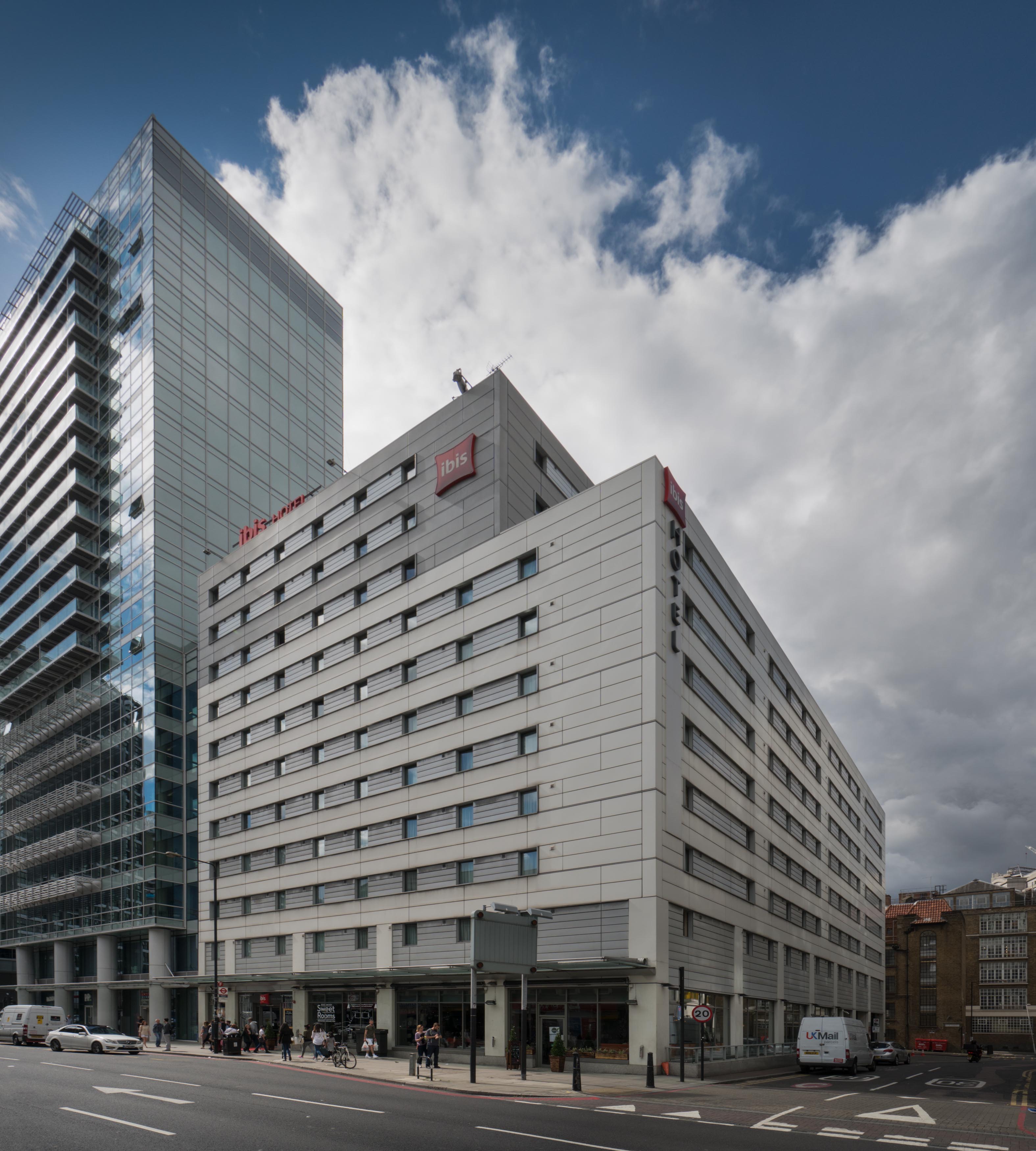
{
"id": 888,
"title": "oitel Ibis from the north east, August 2017",
"author": {
"id": 27,
"username": "DerekKendall"
},
"feature": {
"id": 404,
"type": "Feature",
"geometry": {
"type": "MultiPolygon",
"coordinates": [
[
[
[
-0.072343348100989,
51.515584736670654
],
[
-0.072926870413894,
51.515391133430505
],
[
-0.073118638185025,
51.51561663048826
],
[
-0.072543470463522,
51.515799880768206
],
[
-0.072343348100989,
51.515584736670654
]
]
]
]
},
"properties": {
"b_number": "5",
"b_name": "Hotel ibis London City, 5 Commercial Street",
"street": "Commercial Street",
"address": "Hotel ibis London City, 5 Commercial Street",
"feature_type": "WHITECHAPEL_BUILDING",
"count": 5,
"search_str": "Hotel ibis London City, 5 Commercial Street"
},
"tags": []
},
"file": "https://surveyoflondon.org/media/uploads/features/404/SoL%20Whitechapel%20101316.jpg",
"description": "",
"copyright": true,
"created": "2017-09-26"
},
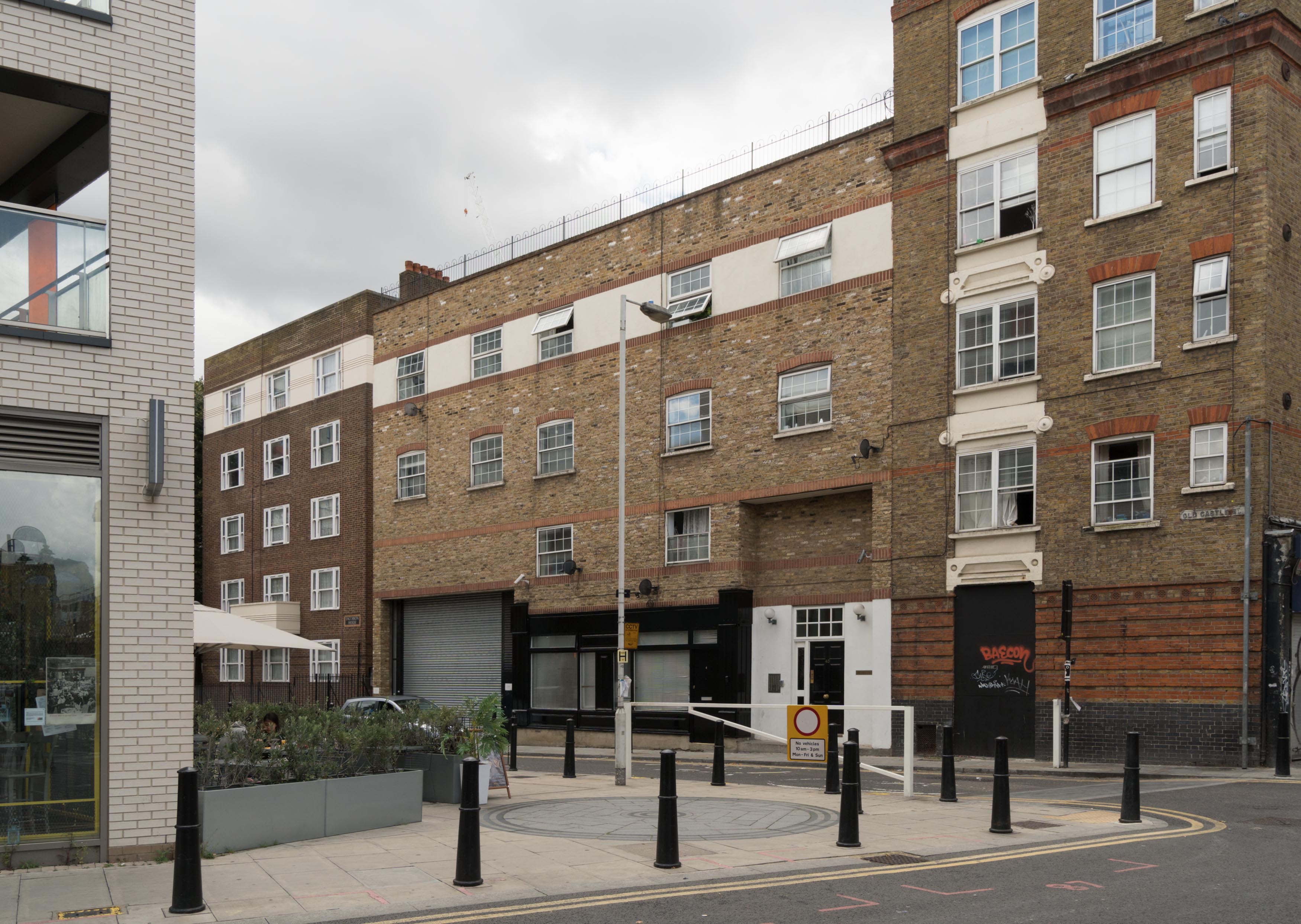
{
"id": 879,
"title": "Arcadia Court entrance in Old Castle Street",
"author": {
"id": 27,
"username": "DerekKendall"
},
"feature": {
"id": 415,
"type": "Feature",
"geometry": {
"type": "MultiPolygon",
"coordinates": [
[
[
[
-0.074344918245398,
51.51668771806424
],
[
-0.074231753948737,
51.51655050176662
],
[
-0.074402628185746,
51.51650488175361
],
[
-0.074484845351035,
51.516618730970144
],
[
-0.074451564816013,
51.516627570285884
],
[
-0.074464842346093,
51.51664692918771
],
[
-0.074407427803073,
51.516657836736705
],
[
-0.07441539181586,
51.51667127366154
],
[
-0.074344918245398,
51.51668771806424
]
]
]
]
},
"properties": {
"b_number": "45",
"b_name": "Arcadia Court, 45 Old Castle Street, and 4 (formerly 1a) Old Castle Street",
"street": "Old Castle Street",
"address": "Arcadia Court, 45 Old Castle Street and 4 Old Castle Street",
"feature_type": "WHITECHAPEL_BUILDING",
"count": 6,
"search_str": "Arcadia Court, 45 Old Castle Street, and 4 (formerly 1a) Old Castle Street"
},
"tags": []
},
"file": "https://surveyoflondon.org/media/uploads/features/415/SoL%20Whitechapel%20101299.jpg",
"description": "",
"copyright": true,
"created": "2017-09-26"
},
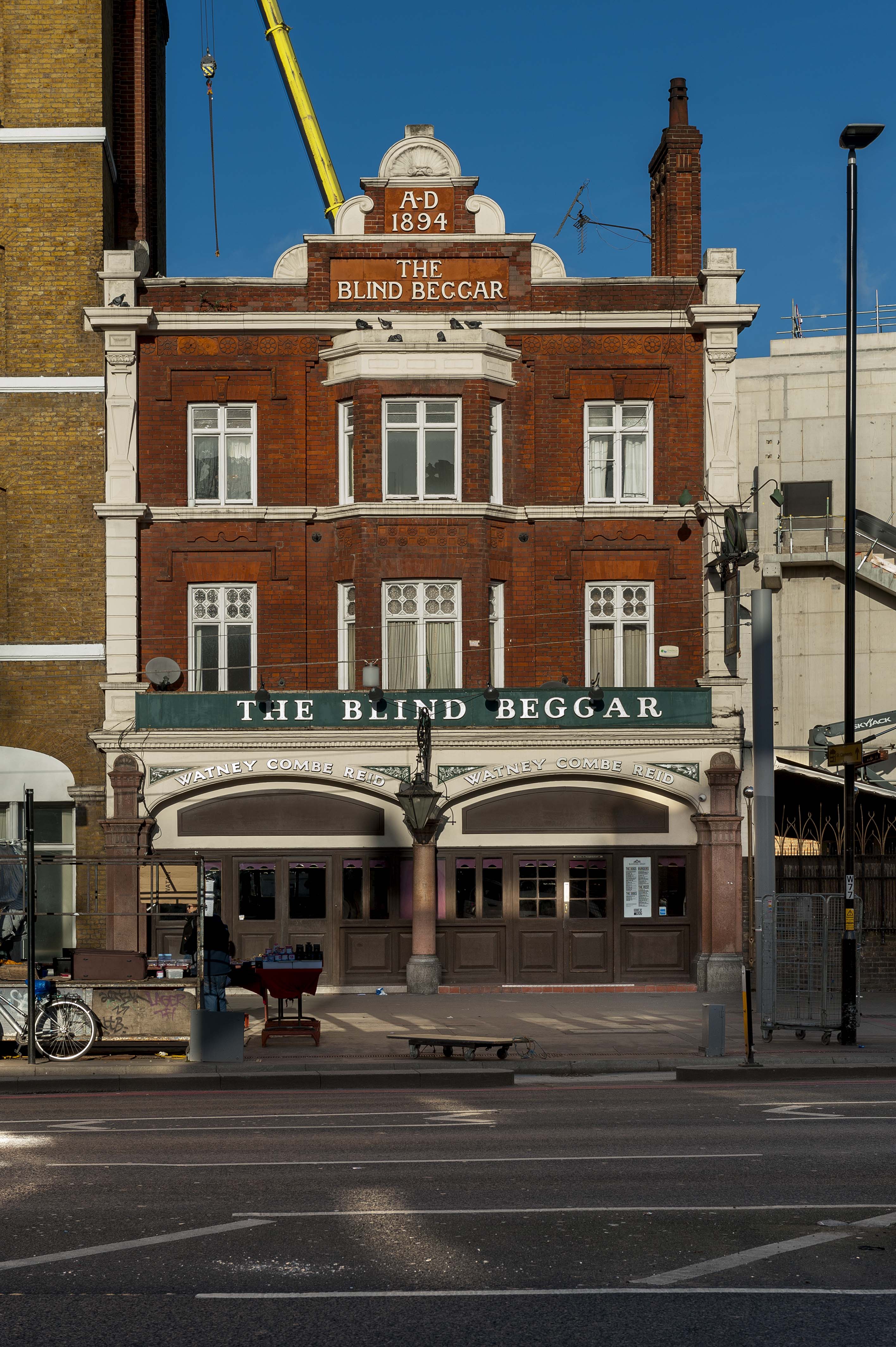
{
"id": 1114,
"title": "The Blind Beggar in 2018",
"author": {
"id": 27,
"username": "DerekKendall"
},
"feature": {
"id": 521,
"type": "Feature",
"geometry": {
"type": "MultiPolygon",
"coordinates": [
[
[
[
-0.057044351749301,
51.52005556326038
],
[
-0.057062845054071,
51.52008733971823
],
[
-0.057006580922032,
51.52009916710701
],
[
-0.056992538373997,
51.520075225540054
],
[
-0.056933469956532,
51.520088559604176
],
[
-0.05684130439071,
51.51992730823853
],
[
-0.056960904550882,
51.519899865751334
],
[
-0.057044351749301,
51.52005556326038
]
]
]
]
},
"properties": {
"b_number": "337",
"b_name": "The Blind Beggar public house",
"street": "Whitechapel Road",
"address": "The Blind Beggar, 337 Whitechapel Road",
"feature_type": "WHITECHAPEL_BUILDING",
"count": 9,
"search_str": "The Blind Beggar public house"
},
"tags": []
},
"file": "https://surveyoflondon.org/media/uploads/features/521/SoL%20Whitechapel%20101733.jpg",
"description": "",
"copyright": true,
"created": "2018-01-29"
},
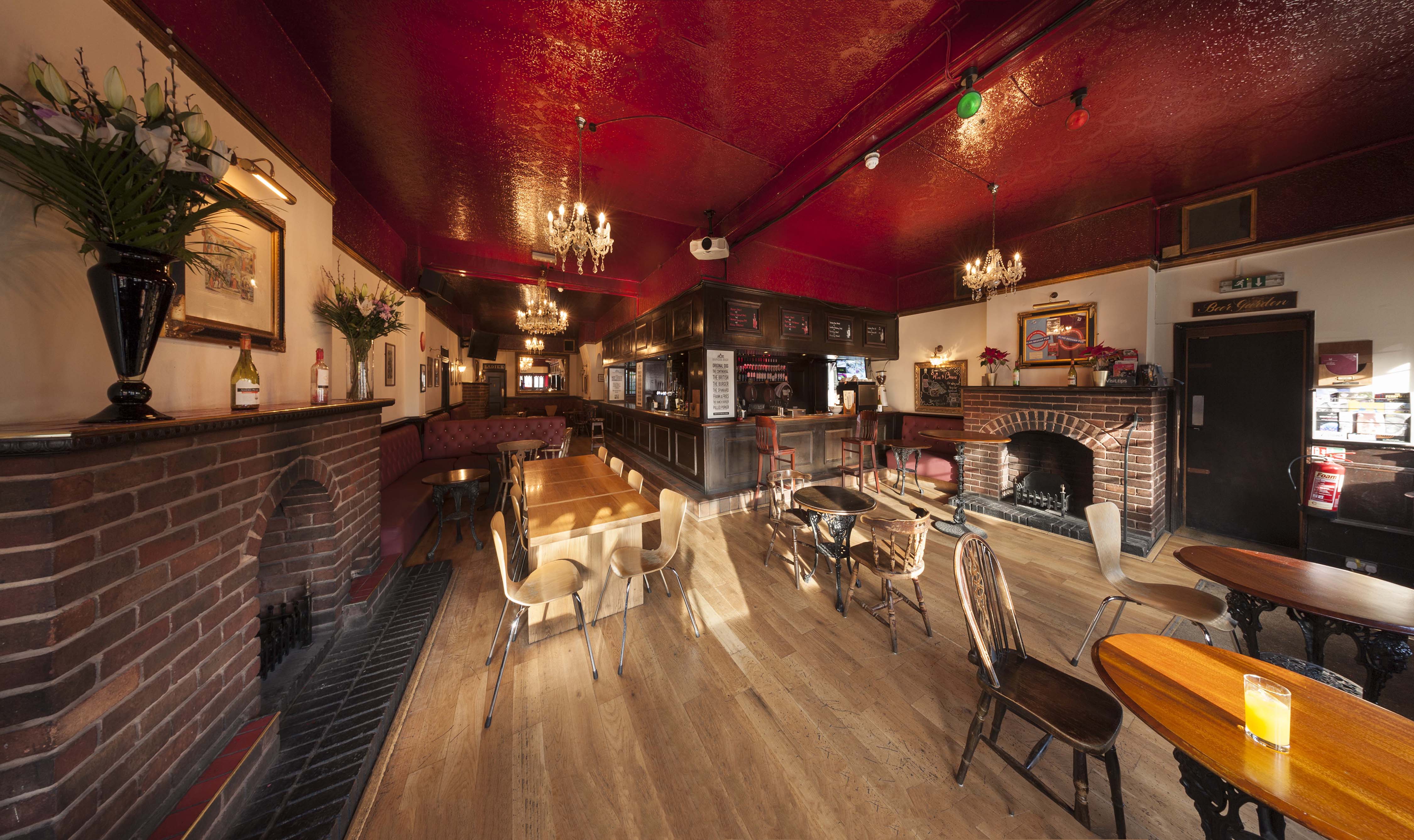
{
"id": 1115,
"title": "The Blind Beggar, interior looking north in 2018",
"author": {
"id": 27,
"username": "DerekKendall"
},
"feature": {
"id": 521,
"type": "Feature",
"geometry": {
"type": "MultiPolygon",
"coordinates": [
[
[
[
-0.057044351749301,
51.52005556326038
],
[
-0.057062845054071,
51.52008733971823
],
[
-0.057006580922032,
51.52009916710701
],
[
-0.056992538373997,
51.520075225540054
],
[
-0.056933469956532,
51.520088559604176
],
[
-0.05684130439071,
51.51992730823853
],
[
-0.056960904550882,
51.519899865751334
],
[
-0.057044351749301,
51.52005556326038
]
]
]
]
},
"properties": {
"b_number": "337",
"b_name": "The Blind Beggar public house",
"street": "Whitechapel Road",
"address": "The Blind Beggar, 337 Whitechapel Road",
"feature_type": "WHITECHAPEL_BUILDING",
"count": 9,
"search_str": "The Blind Beggar public house"
},
"tags": []
},
"file": "https://surveyoflondon.org/media/uploads/features/521/SoL%20Whitechapel%20101737.jpg",
"description": "",
"copyright": true,
"created": "2018-01-29"
}
]
}