HTTP 200 OK
Allow: GET, HEAD, OPTIONS
Content-Type: application/json
Vary: Accept
{
"count": 1747,
"next": "https://surveyoflondon.org/api/v1/images/?format=api&page=36",
"previous": "https://surveyoflondon.org/api/v1/images/?format=api&page=34",
"results": [
{
"id": 1624,
"title": "76 Whitechapel High Street, first-floor landing in 2018",
"author": {
"id": 27,
"username": "DerekKendall"
},
"feature": {
"id": 315,
"type": "Feature",
"geometry": {
"type": "MultiPolygon",
"coordinates": [
[
[
[
-0.070001262506134,
51.51611420182703
],
[
-0.069925683789541,
51.516033038765876
],
[
-0.069976822772036,
51.516012970027454
],
[
-0.070049788081591,
51.51609931840464
],
[
-0.070001262506134,
51.51611420182703
]
]
]
]
},
"properties": {
"b_number": "76",
"b_name": "76 Whitechapel High Street",
"street": "Whitechapel High Street",
"address": "76 Whitechapel High Street",
"feature_type": "WHITECHAPEL_BUILDING",
"count": 9,
"search_str": "76 Whitechapel High Street"
},
"tags": []
},
"file": "https://surveyoflondon.org/media/uploads/features/315/SoL%20Whitechapel%20102140.jpg",
"description": "",
"copyright": true,
"created": "2019-06-13"
},
{
"id": 722,
"title": "11A-19 Dock Street from the north-west in 2017",
"author": {
"id": 27,
"username": "DerekKendall"
},
"feature": {
"id": 1372,
"type": "Feature",
"geometry": {
"type": "MultiPolygon",
"coordinates": [
[
[
[
-0.068057208494737,
51.50994707934026
],
[
-0.067741719270887,
51.51000467088681
],
[
-0.067573542753321,
51.50966353310232
],
[
-0.067877175177271,
51.509577840143784
],
[
-0.068057208494737,
51.50994707934026
]
]
]
]
},
"properties": {
"b_number": "11A-11C",
"b_name": "",
"street": "Dock Street",
"address": "11A-11C Dock Street",
"feature_type": "WHITECHAPEL_BUILDING",
"count": 3,
"search_str": "11A-11C Dock Street"
},
"tags": [
"Millwall Dock Company"
]
},
"file": "https://surveyoflondon.org/media/uploads/features/1372/SoL%20Whitechapel%20101149.jpg",
"description": "",
"copyright": true,
"created": "2017-08-02"
},
{
"id": 723,
"title": "11A-11C Dock Street from the west in 2017",
"author": {
"id": 27,
"username": "DerekKendall"
},
"feature": {
"id": 1372,
"type": "Feature",
"geometry": {
"type": "MultiPolygon",
"coordinates": [
[
[
[
-0.068057208494737,
51.50994707934026
],
[
-0.067741719270887,
51.51000467088681
],
[
-0.067573542753321,
51.50966353310232
],
[
-0.067877175177271,
51.509577840143784
],
[
-0.068057208494737,
51.50994707934026
]
]
]
]
},
"properties": {
"b_number": "11A-11C",
"b_name": "",
"street": "Dock Street",
"address": "11A-11C Dock Street",
"feature_type": "WHITECHAPEL_BUILDING",
"count": 3,
"search_str": "11A-11C Dock Street"
},
"tags": [
"Millwall Dock Company"
]
},
"file": "https://surveyoflondon.org/media/uploads/features/1372/SoL%20Whitechapel%20101150.jpg",
"description": "",
"copyright": true,
"created": "2017-08-02"
},
{
"id": 726,
"title": "19 Dock Street from the west in 2017",
"author": {
"id": 27,
"username": "DerekKendall"
},
"feature": {
"id": 1374,
"type": "Feature",
"geometry": {
"type": "MultiPolygon",
"coordinates": [
[
[
[
-0.067711398877156,
51.50924604425161
],
[
-0.067756321842336,
51.50932934126646
],
[
-0.067652923901106,
51.50935089289648
],
[
-0.067609764836991,
51.509269950451625
],
[
-0.067711398877156,
51.50924604425161
]
]
]
]
},
"properties": {
"b_number": "19",
"b_name": "",
"street": "Dock Street",
"address": "19 Dock Street",
"feature_type": "WHITECHAPEL_BUILDING",
"count": 6,
"search_str": "19 Dock Street"
},
"tags": []
},
"file": "https://surveyoflondon.org/media/uploads/features/1374/SoL%20Whitechapel%20101153.jpg",
"description": "",
"copyright": true,
"created": "2017-08-02"
},
{
"id": 727,
"title": "15-19 Dock Street from the south-west in 2017",
"author": {
"id": 27,
"username": "DerekKendall"
},
"feature": {
"id": 1374,
"type": "Feature",
"geometry": {
"type": "MultiPolygon",
"coordinates": [
[
[
[
-0.067711398877156,
51.50924604425161
],
[
-0.067756321842336,
51.50932934126646
],
[
-0.067652923901106,
51.50935089289648
],
[
-0.067609764836991,
51.509269950451625
],
[
-0.067711398877156,
51.50924604425161
]
]
]
]
},
"properties": {
"b_number": "19",
"b_name": "",
"street": "Dock Street",
"address": "19 Dock Street",
"feature_type": "WHITECHAPEL_BUILDING",
"count": 6,
"search_str": "19 Dock Street"
},
"tags": []
},
"file": "https://surveyoflondon.org/media/uploads/features/1374/SoL%20Whitechapel%20101159.jpg",
"description": "",
"copyright": true,
"created": "2017-08-02"
},
{
"id": 728,
"title": "detail of lion finial at 19 Dock Street in 2017",
"author": {
"id": 27,
"username": "DerekKendall"
},
"feature": {
"id": 1374,
"type": "Feature",
"geometry": {
"type": "MultiPolygon",
"coordinates": [
[
[
[
-0.067711398877156,
51.50924604425161
],
[
-0.067756321842336,
51.50932934126646
],
[
-0.067652923901106,
51.50935089289648
],
[
-0.067609764836991,
51.509269950451625
],
[
-0.067711398877156,
51.50924604425161
]
]
]
]
},
"properties": {
"b_number": "19",
"b_name": "",
"street": "Dock Street",
"address": "19 Dock Street",
"feature_type": "WHITECHAPEL_BUILDING",
"count": 6,
"search_str": "19 Dock Street"
},
"tags": []
},
"file": "https://surveyoflondon.org/media/uploads/features/1374/SoL%20Whitechapel%20101155.jpg",
"description": "",
"copyright": true,
"created": "2017-08-02"
},
{
"id": 1625,
"title": "76 Whitechapel High Street, first-floor passage in 2018",
"author": {
"id": 27,
"username": "DerekKendall"
},
"feature": {
"id": 315,
"type": "Feature",
"geometry": {
"type": "MultiPolygon",
"coordinates": [
[
[
[
-0.070001262506134,
51.51611420182703
],
[
-0.069925683789541,
51.516033038765876
],
[
-0.069976822772036,
51.516012970027454
],
[
-0.070049788081591,
51.51609931840464
],
[
-0.070001262506134,
51.51611420182703
]
]
]
]
},
"properties": {
"b_number": "76",
"b_name": "76 Whitechapel High Street",
"street": "Whitechapel High Street",
"address": "76 Whitechapel High Street",
"feature_type": "WHITECHAPEL_BUILDING",
"count": 9,
"search_str": "76 Whitechapel High Street"
},
"tags": []
},
"file": "https://surveyoflondon.org/media/uploads/features/315/SoL%20Whitechapel%20102141.jpg",
"description": "",
"copyright": true,
"created": "2019-06-13"
},
{
"id": 1626,
"title": "76 Whitechapel High Street, first-floor front room in 2018",
"author": {
"id": 27,
"username": "DerekKendall"
},
"feature": {
"id": 315,
"type": "Feature",
"geometry": {
"type": "MultiPolygon",
"coordinates": [
[
[
[
-0.070001262506134,
51.51611420182703
],
[
-0.069925683789541,
51.516033038765876
],
[
-0.069976822772036,
51.516012970027454
],
[
-0.070049788081591,
51.51609931840464
],
[
-0.070001262506134,
51.51611420182703
]
]
]
]
},
"properties": {
"b_number": "76",
"b_name": "76 Whitechapel High Street",
"street": "Whitechapel High Street",
"address": "76 Whitechapel High Street",
"feature_type": "WHITECHAPEL_BUILDING",
"count": 9,
"search_str": "76 Whitechapel High Street"
},
"tags": []
},
"file": "https://surveyoflondon.org/media/uploads/features/315/SoL%20Whitechapel%20102144.jpg",
"description": "",
"copyright": true,
"created": "2019-06-13"
},
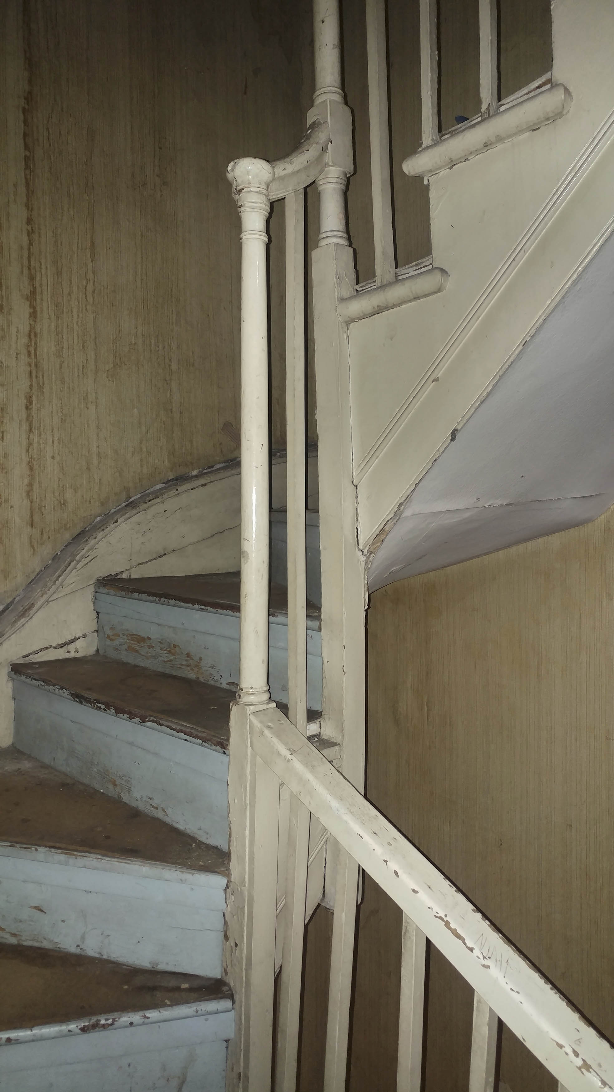
{
"id": 1627,
"title": "76 Whitechapel High Street, staircase in 2018",
"author": {
"id": 27,
"username": "DerekKendall"
},
"feature": {
"id": 315,
"type": "Feature",
"geometry": {
"type": "MultiPolygon",
"coordinates": [
[
[
[
-0.070001262506134,
51.51611420182703
],
[
-0.069925683789541,
51.516033038765876
],
[
-0.069976822772036,
51.516012970027454
],
[
-0.070049788081591,
51.51609931840464
],
[
-0.070001262506134,
51.51611420182703
]
]
]
]
},
"properties": {
"b_number": "76",
"b_name": "76 Whitechapel High Street",
"street": "Whitechapel High Street",
"address": "76 Whitechapel High Street",
"feature_type": "WHITECHAPEL_BUILDING",
"count": 9,
"search_str": "76 Whitechapel High Street"
},
"tags": []
},
"file": "https://surveyoflondon.org/media/uploads/features/315/SoL%20Whitechapel%20102146.jpg",
"description": "",
"copyright": true,
"created": "2019-06-13"
},
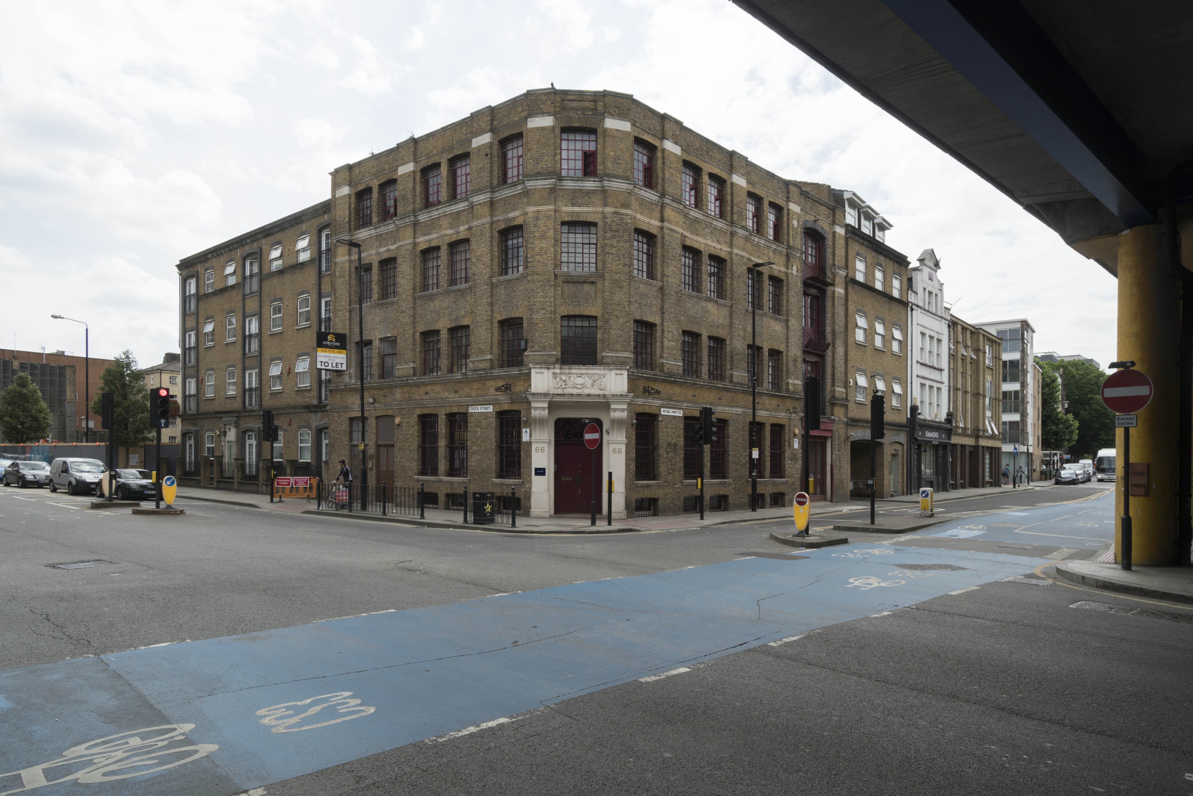
{
"id": 707,
"title": "66 Royal Mint Street and adjacent buildings from the north-east in 2017",
"author": {
"id": 27,
"username": "DerekKendall"
},
"feature": {
"id": 1356,
"type": "Feature",
"geometry": {
"type": "MultiPolygon",
"coordinates": [
[
[
[
-0.068858573135575,
51.51054500766111
],
[
-0.068911333158757,
51.51068540904317
],
[
-0.06868410041276,
51.510704922264615
],
[
-0.068650975113834,
51.51069507453173
],
[
-0.068604119477972,
51.510588218458984
],
[
-0.068858573135575,
51.51054500766111
]
]
]
]
},
"properties": {
"b_number": "66",
"b_name": "",
"street": "Royal Mint Street",
"address": "66 Royal Mint Street",
"feature_type": "WHITECHAPEL_BUILDING",
"count": 7,
"search_str": "66 Royal Mint Street"
},
"tags": []
},
"file": "https://surveyoflondon.org/media/uploads/features/1356/SoL%20Whitechapel%20101118.jpg",
"description": "",
"copyright": true,
"created": "2017-08-02"
},
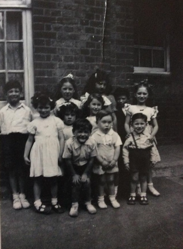
{
"id": 689,
"title": "A Coronation Day party, and a television, at Bullen House, 1953",
"author": {
"id": 25,
"username": "Aileen"
},
"feature": {
"id": 1544,
"type": "Feature",
"geometry": {
"type": "MultiPolygon",
"coordinates": [
[
[
[
-0.058598187010267,
51.52187737993551
],
[
-0.058674194321649,
51.52243565073679
],
[
-0.058276182821531,
51.52245603995277
],
[
-0.058264570867812,
51.52237320407592
],
[
-0.058543239006001,
51.522359202574926
],
[
-0.058476938541178,
51.52188454534501
],
[
-0.058598187010267,
51.52187737993551
]
]
]
]
},
"properties": {
"b_number": "",
"b_name": "",
"street": "",
"address": "Greater Whitechapel: Bullen House",
"feature_type": "GREATER_WHITECHAPEL",
"count": 1,
"search_str": "Greater Whitechapel: Bullen House"
},
"tags": []
},
"file": "https://surveyoflondon.org/media/uploads/features/1544/Frances%20Shillings%20from%20Wh%20BnB%20FB%20Bullen%20House%20children%20crop.jpg",
"description": "Frances Shillings remembers seeing the Queen's Coronation on television in 1953: 'My uncle built a TV which was no more than 9in of screen with a magnifying screen over it. The day of the Coronation it was put on the balcony and all the children of the block sat and watched it. Afterwards we had a brilliant party in the playground and were given Coronation mugs to keep. I am the one with white, big bows in my hair on the right. My brother Norman is in front of me.'",
"copyright": false,
"created": "2017-06-28"
},
{
"id": 688,
"title": "Fairclough Street School class photo, 1916-17",
"author": {
"id": 168,
"username": "Mike_Levy"
},
"feature": {
"id": 1689,
"type": "Feature",
"geometry": {
"type": "MultiPolygon",
"coordinates": [
[
[
[
-0.066443711146624,
51.513671950991984
],
[
-0.065724140023693,
51.51370477841437
],
[
-0.065701372414615,
51.51352778467394
],
[
-0.066718645004004,
51.513472527628295
],
[
-0.066778974626322,
51.51352837815538
],
[
-0.0666278202367,
51.51372498633819
],
[
-0.066573037048678,
51.51381383106413
],
[
-0.066383373724742,
51.51378984065598
],
[
-0.06644863947003,
51.513708722789936
],
[
-0.066443711146624,
51.513671950991984
]
],
[
[
-0.06660405321592,
51.51356470288691
],
[
-0.06647315613565,
51.513524595196124
],
[
-0.066386641833814,
51.51363440939254
],
[
-0.066517539147768,
51.51367451718169
],
[
-0.06660405321592,
51.51356470288691
]
]
]
]
},
"properties": {
"b_number": "",
"b_name": "",
"street": "",
"address": "Greater Whitechapel: Harry Gosling Primary School ",
"feature_type": "GREATER_WHITECHAPEL",
"count": 1,
"search_str": "Greater Whitechapel: Harry Gosling Primary School "
},
"tags": []
},
"file": "https://surveyoflondon.org/media/uploads/features/1689/Isaac%20(Johnny)%20Levy%201916-17%20Fairclough%20Street%20School%20from%20Mike%20Levy.jpg",
"description": "My father and his family lived on Berner Street before the 2nd World War. My grandparents lived there from at least the turn of the 20th century, where Boyd Street [then Ellen Street] and Berner Street met. My dad attended the still existant, though renamed school on the corner of Fairclough and Berner Streets [now Henriques Street]. He is fourth from the left on the second row from the bottom. His name was Isaac Levy, but everyone knew him as Johnny. He was born in 1910, and was one of nine surviving children. I can't verify it, but my grandfather claimed to have been a small boy living on Berner Street when Elizabeth Stride was murdered at Dutfield's Yard in 1888. This tale sparked an interest in me about the Whitechapel Murders. ",
"copyright": false,
"created": "2017-06-26"
},
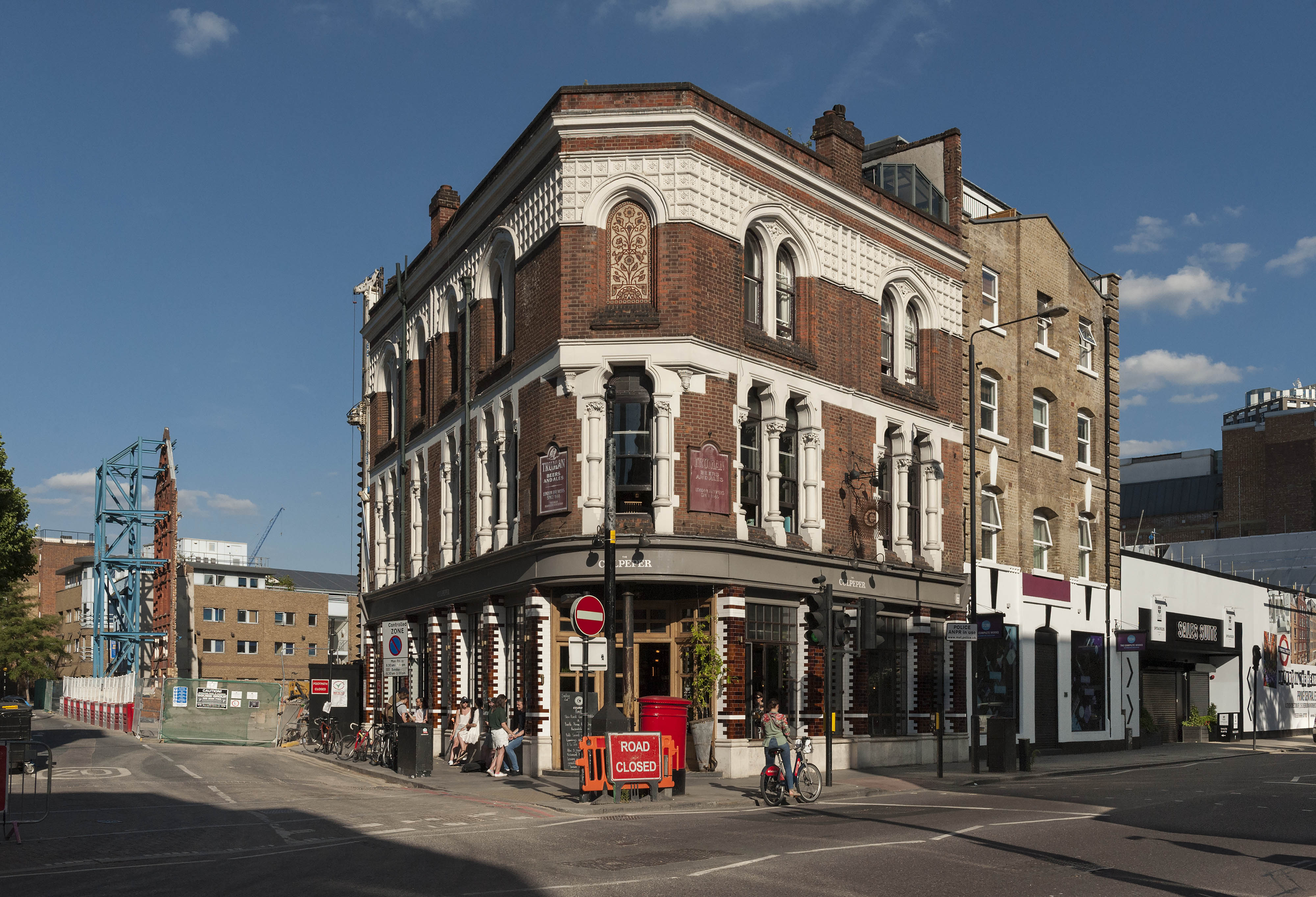
{
"id": 694,
"title": "The Culpeper, June 2017",
"author": {
"id": 27,
"username": "DerekKendall"
},
"feature": {
"id": 361,
"type": "Feature",
"geometry": {
"type": "MultiPolygon",
"coordinates": [
[
[
[
-0.072767575103936,
51.516845305306816
],
[
-0.072982437061767,
51.51677817553716
],
[
-0.073050882093095,
51.51685314376525
],
[
-0.073030606825987,
51.51687969929775
],
[
-0.072802739910383,
51.51688939919542
],
[
-0.072767575103936,
51.516845305306816
]
]
]
]
},
"properties": {
"b_number": "40-42",
"b_name": "The Culpeper, 40-42 Commercial Street",
"street": "Commercial Street",
"address": "The Culpeper, 40 Commercial Street",
"feature_type": "WHITECHAPEL_BUILDING",
"count": 5,
"search_str": "The Culpeper, 40-42 Commercial Street"
},
"tags": []
},
"file": "https://surveyoflondon.org/media/uploads/features/361/SoL%20Whitechapel%20100817.jpg",
"description": "Looking east down Wentworth Street to the Toynbee Hall development site with the retained facade of College Buildings propped up.",
"copyright": true,
"created": "2017-07-20"
},
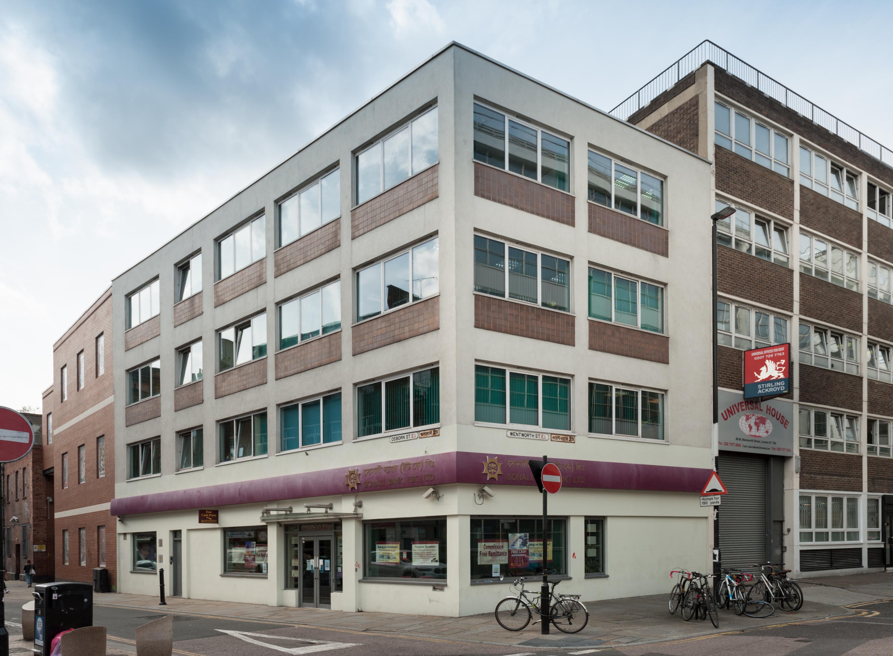
{
"id": 912,
"title": "Sonali Bank, August 2017",
"author": {
"id": 27,
"username": "DerekKendall"
},
"feature": {
"id": 402,
"type": "Feature",
"geometry": {
"type": "MultiPolygon",
"coordinates": [
[
[
[
-0.070616873946703,
51.516999851225
],
[
-0.070686306893277,
51.51715534454816
],
[
-0.070556727746499,
51.51717662581755
],
[
-0.070428481905186,
51.517038578467215
],
[
-0.070616873946703,
51.516999851225
]
]
]
]
},
"properties": {
"b_number": "29",
"b_name": "29-33 Osborn Street",
"street": "Osborn Street",
"address": "29-33 Osborn Street",
"feature_type": "WHITECHAPEL_BUILDING",
"count": 2,
"search_str": "29-33 Osborn Street"
},
"tags": []
},
"file": "https://surveyoflondon.org/media/uploads/features/402/SoL%20Whitechapel%20101449.jpg",
"description": "",
"copyright": true,
"created": "2017-09-26"
},
{
"id": 706,
"title": "307-315 Whitechapel Road, detail, 2017",
"author": {
"id": 27,
"username": "DerekKendall"
},
"feature": {
"id": 516,
"type": "Feature",
"geometry": {
"type": "MultiPolygon",
"coordinates": [
[
[
[
-0.058739839209787,
51.51952392209671
],
[
-0.058756909006459,
51.51955162514243
],
[
-0.058347411514902,
51.519652570361224
],
[
-0.058330067799805,
51.519625217262416
],
[
-0.058739839209787,
51.51952392209671
]
]
]
]
},
"properties": {
"b_number": "307-315",
"b_name": "",
"street": "Whitechapel Road",
"address": "307-315 Whitechapel Road",
"feature_type": "WHITECHAPEL_BUILDING",
"count": 3,
"search_str": "307-315 Whitechapel Road"
},
"tags": [
"Angel and Crown",
"City of Norwich",
"Little Driver"
]
},
"file": "https://surveyoflondon.org/media/uploads/features/516/SoL%20Whitechapel%20101219.jpg",
"description": "",
"copyright": true,
"created": "2017-07-28"
},
{
"id": 1112,
"title": "A room with a view",
"author": {
"id": 209,
"username": "f.ciufo"
},
"feature": {
"id": 223,
"type": "Feature",
"geometry": {
"type": "MultiPolygon",
"coordinates": [
[
[
[
-0.069651275011124,
51.51835449089215
],
[
-0.069592024694681,
51.51836717419471
],
[
-0.069587125932472,
51.518360246262
],
[
-0.069422150097701,
51.51838609725476
],
[
-0.069428895460589,
51.51840120950797
],
[
-0.069398491903018,
51.518404780174386
],
[
-0.069392714379199,
51.51838967325895
],
[
-0.069237263189485,
51.51841785638787
],
[
-0.069221236825655,
51.518417615963294
],
[
-0.069198758310569,
51.518413055117485
],
[
-0.069189106230736,
51.518402805327085
],
[
-0.069120097916717,
51.51825457693517
],
[
-0.069105176600071,
51.518256968483236
],
[
-0.069099054846448,
51.518236845706575
],
[
-0.06911264195119,
51.518235161624375
],
[
-0.069068670608898,
51.51812739697248
],
[
-0.069053930480549,
51.518128134519145
],
[
-0.06903992435002,
51.518096251376235
],
[
-0.069181990019506,
51.518069271172465
],
[
-0.069281479672148,
51.518305780531115
],
[
-0.069312100496919,
51.518315438787596
],
[
-0.069603812103688,
51.51826672197482
],
[
-0.069651275011124,
51.51835449089215
]
]
]
]
},
"properties": {
"b_number": "",
"b_name": "Spelman House",
"street": "Spelman Street and Chicksand Street",
"address": "Spelman House, Spelman Street and Chicksand Street",
"feature_type": "WHITECHAPEL_BUILDING",
"count": 11,
"search_str": "Spelman House"
},
"tags": []
},
"file": "https://surveyoflondon.org/media/uploads/features/223/14590514_1236496936432603_3460518100759398621_n.jpg",
"description": "",
"copyright": true,
"created": "2018-01-27"
},
{
"id": 1628,
"title": "Former passage to Bull Court under 75 Whitechapel High Street in 2018",
"author": {
"id": 27,
"username": "DerekKendall"
},
"feature": {
"id": 314,
"type": "Feature",
"geometry": {
"type": "MultiPolygon",
"coordinates": [
[
[
[
-0.069841751221445,
51.51606452132173
],
[
-0.069925695023196,
51.516033041999854
],
[
-0.070001273739797,
51.516114205061
],
[
-0.069916647924465,
51.51614626138045
],
[
-0.069899913067933,
51.51612790461924
],
[
-0.069841751221445,
51.51606452132173
]
]
]
]
},
"properties": {
"b_number": "75",
"b_name": "75 Whitechapel High Street",
"street": "Whitechapel High Street",
"address": "75 Whitechapel High Street",
"feature_type": "WHITECHAPEL_BUILDING",
"count": 6,
"search_str": "75 Whitechapel High Street"
},
"tags": []
},
"file": "https://surveyoflondon.org/media/uploads/features/314/SoL%20Whitechapel%20102138.jpg",
"description": "",
"copyright": true,
"created": "2019-06-13"
},
{
"id": 691,
"title": "16-20 Middlesex Street, late 1950s",
"author": {
"id": 25,
"username": "Aileen"
},
"feature": {
"id": 411,
"type": "Feature",
"geometry": {
"type": "MultiPolygon",
"coordinates": [
[
[
[
-0.074825672456777,
51.515219414137825
],
[
-0.074647451142338,
51.51530527967592
],
[
-0.074491595155131,
51.515179363370244
],
[
-0.074663489419343,
51.5150983568348
],
[
-0.074825672456777,
51.515219414137825
]
]
]
]
},
"properties": {
"b_number": "16 to 20",
"b_name": "",
"street": "Middlesex Street",
"address": "16 to 20 Middlesex Street",
"feature_type": "WHITECHAPEL_BUILDING",
"count": 2,
"search_str": "16 to 20 Middlesex Street"
},
"tags": []
},
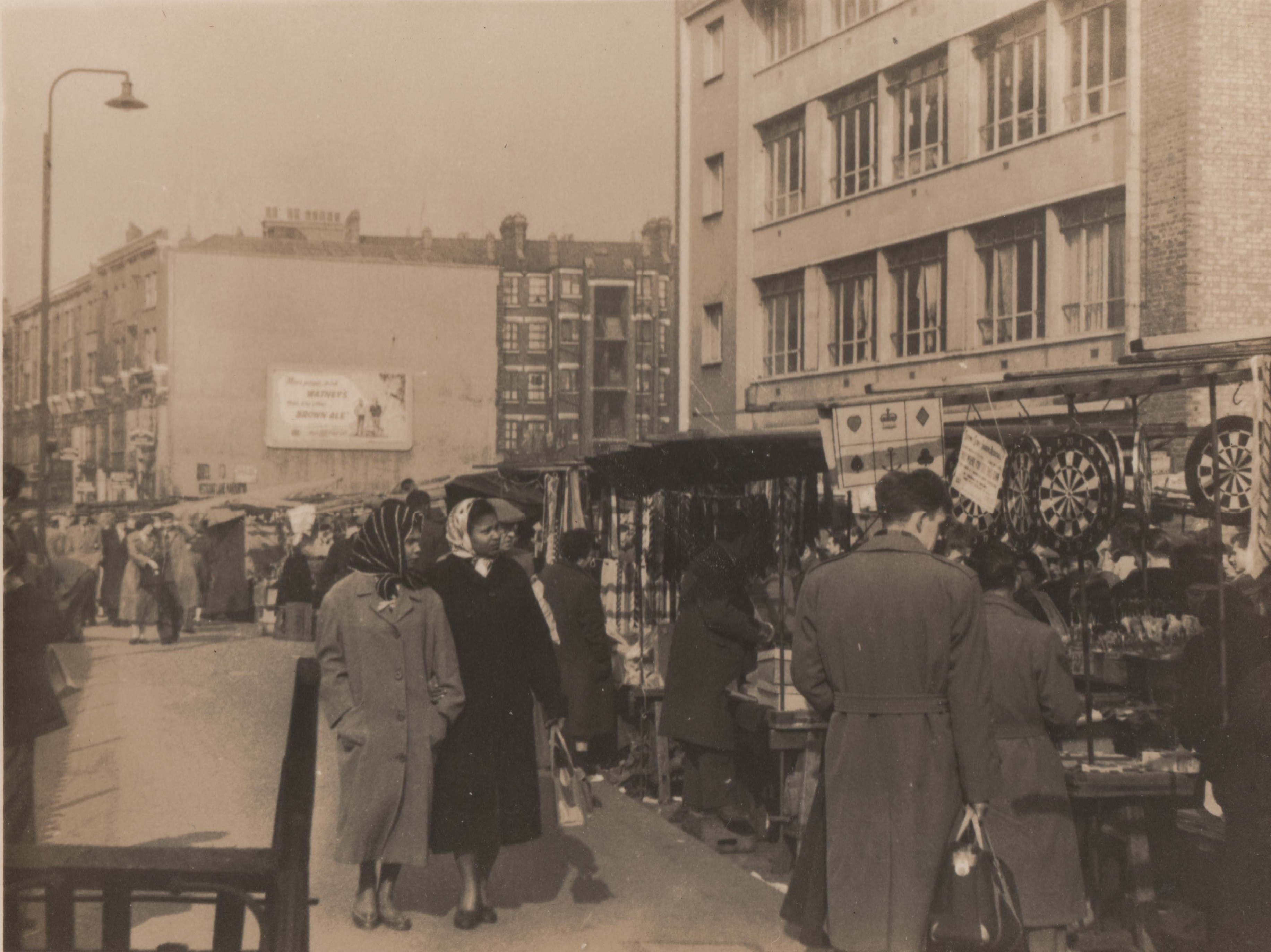
"file": "https://surveyoflondon.org/media/uploads/features/411/Petticoat%20Lane%201950s.jpg",
"description": "This image, by an amateur photographer, shows the east side of Middlesex Street and the stalls of Petticoat Lane market and Wentworth Dwellings in the background, in the late 1950s or early 1960s. It shows the newly built 16-20 Middlesex Street but before it was surrounded in the early 1960s by the vast Cromlech and United Standard House, whose site, a bomb site of the Victorian warehouses destroyed in the war, was then in use for market stalls.",
"copyright": false,
"created": "2017-07-05"
},
{
"id": 1314,
"title": "8 Cable Street in 2018",
"author": {
"id": 27,
"username": "DerekKendall"
},
"feature": {
"id": 1379,
"type": "Feature",
"geometry": {
"type": "MultiPolygon",
"coordinates": [
[
[
[
-0.06801568479744,
51.510752147932905
],
[
-0.067993161935922,
51.510646012503855
],
[
-0.06807428774829,
51.51064444213238
],
[
-0.068094866490909,
51.51074956580129
],
[
-0.06801568479744,
51.510752147932905
]
]
]
]
},
"properties": {
"b_number": "8",
"b_name": "",
"street": "Cable Street",
"address": "8 Cable Street",
"feature_type": "WHITECHAPEL_BUILDING",
"count": 2,
"search_str": "8 Cable Street"
},
"tags": []
},
"file": "https://surveyoflondon.org/media/uploads/features/1379/SoL%20Whitechapel%20102065.jpg",
"description": "",
"copyright": true,
"created": "2018-08-13"
},
{
"id": 771,
"title": "Interior, looking south west, August 2017",
"author": {
"id": 27,
"username": "DerekKendall"
},
"feature": {
"id": 13,
"type": "Feature",
"geometry": {
"type": "MultiPolygon",
"coordinates": [
[
[
[
-0.070300598211778,
51.51553175369474
],
[
-0.069909685041584,
51.51566601870094
],
[
-0.069762598214758,
51.51551508304666
],
[
-0.06980073408505,
51.51550203175569
],
[
-0.069734850402611,
51.515430598241764
],
[
-0.0696935021834,
51.515445550776434
],
[
-0.069553336995274,
51.515279095645894
],
[
-0.069960309630875,
51.51513532543541
],
[
-0.070300598211778,
51.51553175369474
]
]
]
]
},
"properties": {
"b_number": "59-63",
"b_name": "Central House, London Metropolitan University",
"street": "Whitechapel High Street",
"address": "Central House, 59-63 Whitechapel High Street",
"feature_type": "WHITECHAPEL_BUILDING",
"count": 18,
"search_str": "Central House, London Metropolitan University"
},
"tags": []
},
"file": "https://surveyoflondon.org/media/uploads/features/13/SoL%20Whitechapel%20101383.jpg",
"description": "",
"copyright": true,
"created": "2017-09-12"
}
]
}
%20Levy%201916-17%20Fairclough%20Street%20School%20from%20Mike%20Levy.jpg)