HTTP 200 OK
Allow: GET, HEAD, OPTIONS
Content-Type: application/json
Vary: Accept
{
"count": 1747,
"next": "https://surveyoflondon.org/api/v1/images/?format=api&page=4",
"previous": "https://surveyoflondon.org/api/v1/images/?format=api&page=2",
"results": [
{
"id": 16,
"title": "Alie Street 1998, view looking west",
"author": {
"id": 29,
"username": "CRedgrave"
},
"feature": {
"id": 987,
"type": "Feature",
"geometry": {
"type": "MultiPolygon",
"coordinates": [
[
[
[
-0.070145370299403,
51.51450072634437
],
[
-0.07014611994867,
51.51450455659268
],
[
-0.070144309574274,
51.514509535874474
],
[
-0.070140121750315,
51.51451620267396
],
[
-0.070136623713428,
51.51452004299396
],
[
-0.070132782230155,
51.51452343811338
],
[
-0.07012919823248,
51.51452605003296
],
[
-0.070032329210259,
51.51456074054102
],
[
-0.069888287217447,
51.51461232427546
],
[
-0.069840045190473,
51.514629600448345
],
[
-0.069774452824825,
51.51465322031716
],
[
-0.06976437015771,
51.514657348821736
],
[
-0.069752142738503,
51.51465949508699
],
[
-0.069738751592763,
51.514659184706524
],
[
-0.069727055003321,
51.514656294262764
],
[
-0.069718712135325,
51.51465200744966
],
[
-0.069710007581218,
51.51464360333125
],
[
-0.069703346477841,
51.51462231454975
],
[
-0.069687670795924,
51.5145762148712
],
[
-0.069654908902713,
51.514479867076176
],
[
-0.069639134856717,
51.51444518750716
],
[
-0.069621768125469,
51.51441285371942
],
[
-0.069616967605489,
51.5143964229486
],
[
-0.069618177681695,
51.51438973157497
],
[
-0.069621435653496,
51.51437947349934
],
[
-0.069630708154631,
51.51436447257293
],
[
-0.069646015054674,
51.51435269798059
],
[
-0.069669258695001,
51.51434149605311
],
[
-0.06990815956914,
51.514236930554475
],
[
-0.070061827306772,
51.51416967057941
],
[
-0.070205488914527,
51.51432361317142
],
[
-0.070080560753047,
51.51437793580642
],
[
-0.070064472214771,
51.51438470803152
],
[
-0.070066767405088,
51.51439004684161
],
[
-0.070083931212681,
51.514419269950324
],
[
-0.070132489860627,
51.51448663206476
],
[
-0.070141902651642,
51.514496931909626
],
[
-0.070145370299403,
51.51450072634437
]
]
]
]
},
"properties": {
"b_number": "71",
"b_name": "Altitude Point",
"street": "Alie Street",
"address": "71 (Altitude Point) and 81 Alie Street with 9 Buckle Street (Goldpence Apartments)",
"feature_type": "WHITECHAPEL_BUILDING",
"count": 11,
"search_str": "Altitude Point"
},
"tags": []
},
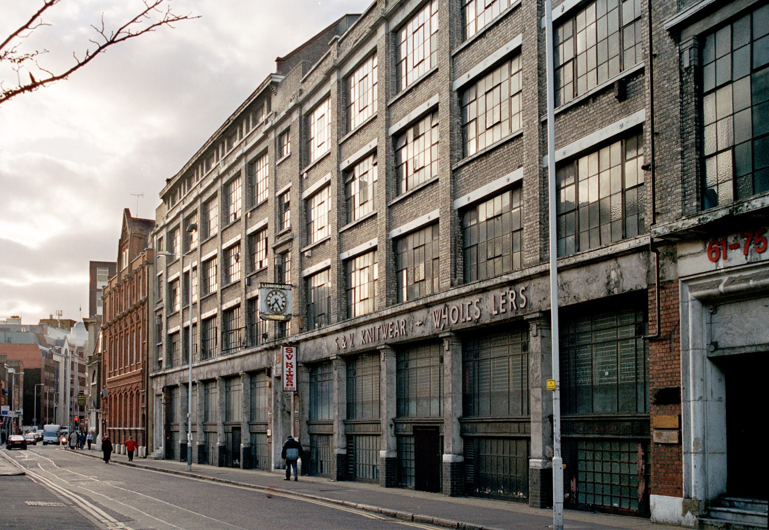
"file": "https://surveyoflondon.org/media/uploads/features/17/Alie%20Street%20c1999.jpg",
"description": "Lewis London & Son's clothing factory of 1913 and 1926, now demolished",
"copyright": true,
"created": null
},
{
"id": 476,
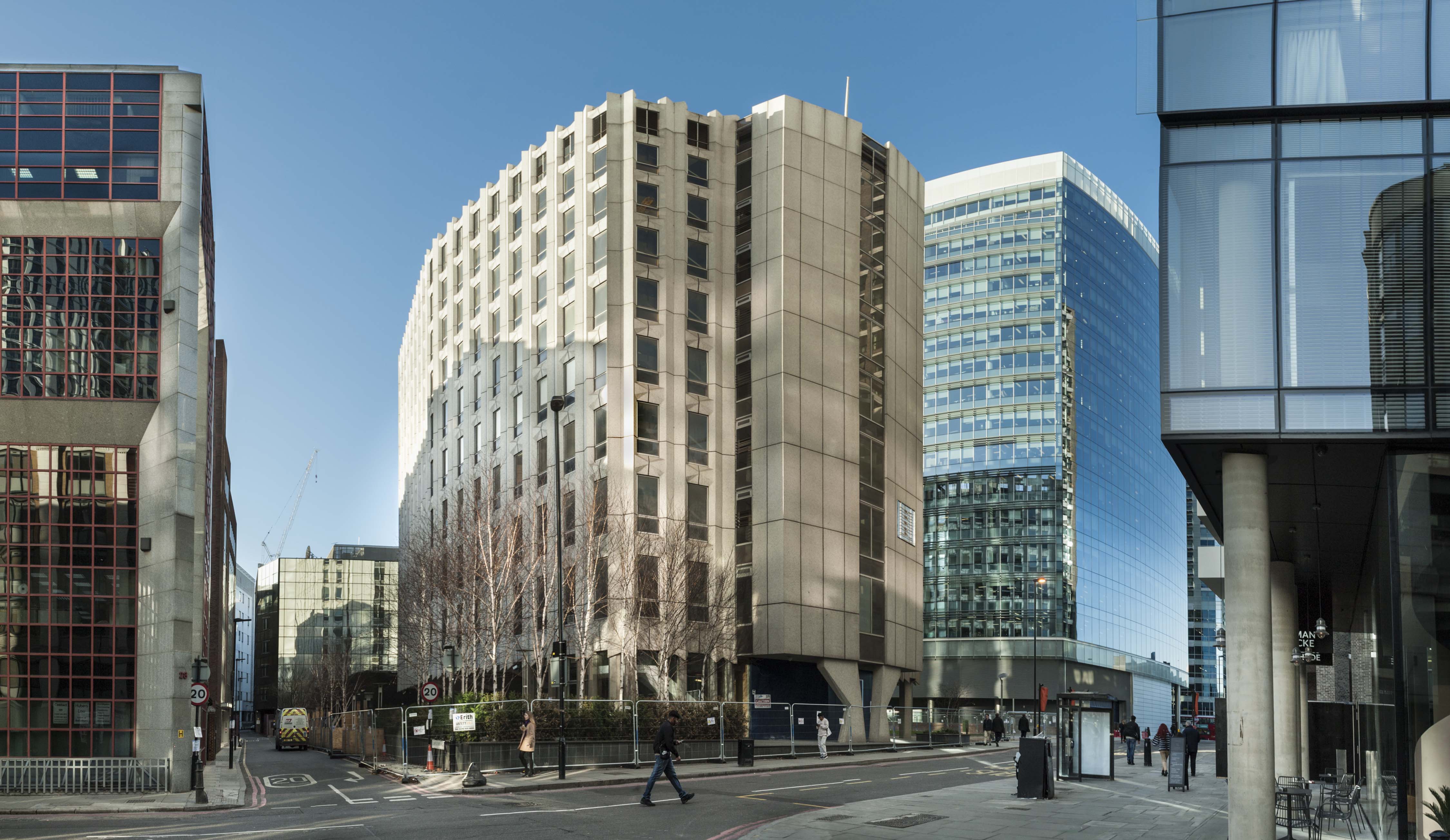
"title": "Maersk (formerly Beagle) House in December 2016, from the south-east",
"author": {
"id": 27,
"username": "DerekKendall"
},
"feature": {
"id": 31,
"type": "Feature",
"geometry": {
"type": "MultiPolygon",
"coordinates": [
[
[
[
-0.071887127893096,
51.51411332216963
],
[
-0.071969571208431,
51.51419942371175
],
[
-0.071924976063445,
51.5142326534243
],
[
-0.071948658834375,
51.51426657781599
],
[
-0.071835003267539,
51.5143227101345
],
[
-0.071686234045495,
51.5143855464125
],
[
-0.071543425125636,
51.514422007266134
],
[
-0.071435516621411,
51.51444471123646
],
[
-0.071395570736125,
51.51440565693606
],
[
-0.07134776228325,
51.51441310661883
],
[
-0.0712722588033,
51.51434177428325
],
[
-0.071303428297817,
51.51432370241673
],
[
-0.071263213192454,
51.5142868603796
],
[
-0.071374185885124,
51.514224080818835
],
[
-0.071528097019019,
51.51416207230522
],
[
-0.071692419185678,
51.51411901969061
],
[
-0.071795120500786,
51.514091351954804
],
[
-0.071848759931576,
51.5141216554061
],
[
-0.071887127893096,
51.51411332216963
]
]
]
]
},
"properties": {
"b_number": "1",
"b_name": "Maersk House",
"street": "Braham Street",
"address": "Maersk House (formerly Beagle House), 1 Braham Street",
"feature_type": "WHITECHAPEL_BUILDING",
"count": 20,
"search_str": "Maersk House"
},
"tags": []
},
"file": "https://surveyoflondon.org/media/uploads/features/31/SoL%20Whitechapel%20100455.jpg",
"description": "",
"copyright": true,
"created": "2017-01-03"
},
{
"id": 546,
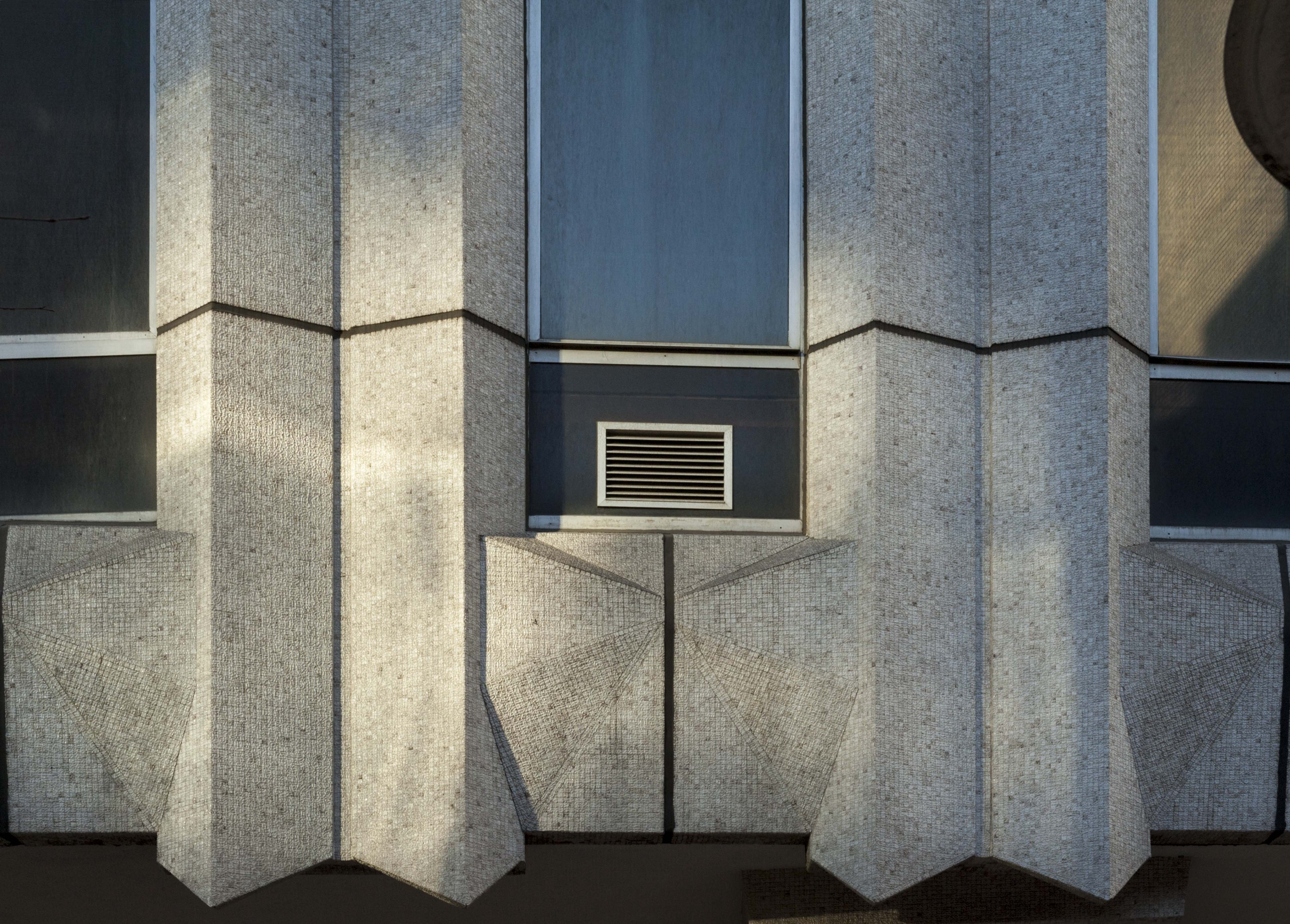
"title": "Maersk (formerly Beagle House), facade detail",
"author": {
"id": 27,
"username": "DerekKendall"
},
"feature": {
"id": 31,
"type": "Feature",
"geometry": {
"type": "MultiPolygon",
"coordinates": [
[
[
[
-0.071887127893096,
51.51411332216963
],
[
-0.071969571208431,
51.51419942371175
],
[
-0.071924976063445,
51.5142326534243
],
[
-0.071948658834375,
51.51426657781599
],
[
-0.071835003267539,
51.5143227101345
],
[
-0.071686234045495,
51.5143855464125
],
[
-0.071543425125636,
51.514422007266134
],
[
-0.071435516621411,
51.51444471123646
],
[
-0.071395570736125,
51.51440565693606
],
[
-0.07134776228325,
51.51441310661883
],
[
-0.0712722588033,
51.51434177428325
],
[
-0.071303428297817,
51.51432370241673
],
[
-0.071263213192454,
51.5142868603796
],
[
-0.071374185885124,
51.514224080818835
],
[
-0.071528097019019,
51.51416207230522
],
[
-0.071692419185678,
51.51411901969061
],
[
-0.071795120500786,
51.514091351954804
],
[
-0.071848759931576,
51.5141216554061
],
[
-0.071887127893096,
51.51411332216963
]
]
]
]
},
"properties": {
"b_number": "1",
"b_name": "Maersk House",
"street": "Braham Street",
"address": "Maersk House (formerly Beagle House), 1 Braham Street",
"feature_type": "WHITECHAPEL_BUILDING",
"count": 20,
"search_str": "Maersk House"
},
"tags": []
},
"file": "https://surveyoflondon.org/media/uploads/features/31/SoL%20Whitechapel%20100483.jpg",
"description": "",
"copyright": true,
"created": "2017-04-10"
},
{
"id": 1331,
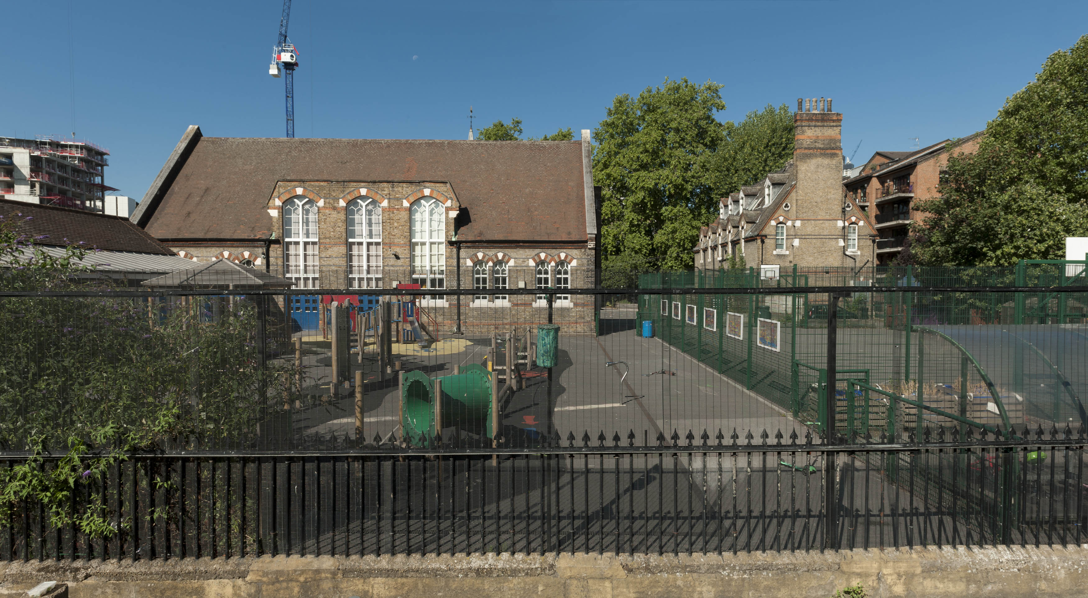
"title": "St Paul's School from the east, August 2018",
"author": {
"id": 27,
"username": "DerekKendall"
},
"feature": {
"id": 1399,
"type": "Feature",
"geometry": {
"type": "MultiPolygon",
"coordinates": [
[
[
[
-0.06624311370635,
51.51019072010641
],
[
-0.066077627531148,
51.510204269850675
],
[
-0.066069527116146,
51.510170337345684
],
[
-0.06611551384684,
51.51016638639934
],
[
-0.066109726117682,
51.51014703372793
],
[
-0.065814585354416,
51.5101673738921
],
[
-0.065821533323482,
51.51022330153386
],
[
-0.065683910471039,
51.51023360737856
],
[
-0.065657889334494,
51.51008339520407
],
[
-0.065349361164399,
51.51010853754948
],
[
-0.06532938777826,
51.510008209650636
],
[
-0.065633994165545,
51.509987653756085
],
[
-0.065620188745178,
51.50991765971934
],
[
-0.065722948991599,
51.50991121538507
],
[
-0.065716780377172,
51.509880881568165
],
[
-0.065901817537395,
51.50986765480321
],
[
-0.06593178354119,
51.50999605393065
],
[
-0.066038317356042,
51.509988508785376
],
[
-0.066023042932445,
51.50990918839897
],
[
-0.065998737156917,
51.50991111308007
],
[
-0.065980280001972,
51.50981894970597
],
[
-0.066320560006103,
51.50979200375635
],
[
-0.06632996113982,
51.50983401855985
],
[
-0.066268265775343,
51.50983881506029
],
[
-0.066265082872055,
51.50982597208467
],
[
-0.066214609325215,
51.509829790835916
],
[
-0.066234584593038,
51.50993011860635
],
[
-0.066179431061551,
51.509934441553284
],
[
-0.066189455574639,
51.5099837339709
],
[
-0.066197871962622,
51.509983000685985
],
[
-0.066205558541818,
51.510021498909204
],
[
-0.066199016557763,
51.510021972412325
],
[
-0.066209250254486,
51.51006632649741
],
[
-0.066216245469672,
51.51006615116071
],
[
-0.066221862792188,
51.51009851070753
],
[
-0.066214365136205,
51.51009954983773
],
[
-0.066220460291682,
51.51013162657133
],
[
-0.06623170678327,
51.51013006787535
],
[
-0.06624311370635,
51.51019072010641
]
]
]
]
},
"properties": {
"b_number": "",
"b_name": "St Paul's School",
"street": "Wellclose Square",
"address": "St Paul's School, Wellclose Square",
"feature_type": "WHITECHAPEL_BUILDING",
"count": 22,
"search_str": "St Paul's School"
},
"tags": [
"Rev. Dan Greatorex",
"Thomas F. Ford and Partners",
"Wilby & Burnett"
]
},
"file": "https://surveyoflondon.org/media/uploads/features/1399/SoL%20Whitechapel%20102102.jpg",
"description": "",
"copyright": true,
"created": "2018-08-13"
},
{
"id": 587,
"title": "Spelman House from the south-west in April 2017",
"author": {
"id": 27,
"username": "DerekKendall"
},
"feature": {
"id": 223,
"type": "Feature",
"geometry": {
"type": "MultiPolygon",
"coordinates": [
[
[
[
-0.069651275011124,
51.51835449089215
],
[
-0.069592024694681,
51.51836717419471
],
[
-0.069587125932472,
51.518360246262
],
[
-0.069422150097701,
51.51838609725476
],
[
-0.069428895460589,
51.51840120950797
],
[
-0.069398491903018,
51.518404780174386
],
[
-0.069392714379199,
51.51838967325895
],
[
-0.069237263189485,
51.51841785638787
],
[
-0.069221236825655,
51.518417615963294
],
[
-0.069198758310569,
51.518413055117485
],
[
-0.069189106230736,
51.518402805327085
],
[
-0.069120097916717,
51.51825457693517
],
[
-0.069105176600071,
51.518256968483236
],
[
-0.069099054846448,
51.518236845706575
],
[
-0.06911264195119,
51.518235161624375
],
[
-0.069068670608898,
51.51812739697248
],
[
-0.069053930480549,
51.518128134519145
],
[
-0.06903992435002,
51.518096251376235
],
[
-0.069181990019506,
51.518069271172465
],
[
-0.069281479672148,
51.518305780531115
],
[
-0.069312100496919,
51.518315438787596
],
[
-0.069603812103688,
51.51826672197482
],
[
-0.069651275011124,
51.51835449089215
]
]
]
]
},
"properties": {
"b_number": "",
"b_name": "Spelman House",
"street": "Spelman Street and Chicksand Street",
"address": "Spelman House, Spelman Street and Chicksand Street",
"feature_type": "WHITECHAPEL_BUILDING",
"count": 11,
"search_str": "Spelman House"
},
"tags": []
},
"file": "https://surveyoflondon.org/media/uploads/features/223/SoL%20Whitechapel%20100621.jpg",
"description": "",
"copyright": true,
"created": "2017-05-03"
},
{
"id": 87,
"title": "2 Whitechapel Road with 40 Adler Street from Altab Ali Park",
"author": {
"id": 27,
"username": "DerekKendall"
},
"feature": {
"id": 145,
"type": "Feature",
"geometry": {
"type": "MultiPolygon",
"coordinates": [
[
[
[
-0.067438878078407,
51.51626048776608
],
[
-0.067736964788515,
51.51614633139776
],
[
-0.067736975376783,
51.51614633297866
],
[
-0.068162873880285,
51.516578971968116
],
[
-0.068015152398359,
51.5166409265401
],
[
-0.067898951070216,
51.516535567083395
],
[
-0.067749868829072,
51.51660024858242
],
[
-0.067727076343935,
51.516580194496996
],
[
-0.067678054021065,
51.51659801606037
],
[
-0.067602032053382,
51.516516614054154
],
[
-0.067658800891649,
51.51649597633206
],
[
-0.067438878078407,
51.51626048776608
]
]
]
]
},
"properties": {
"b_number": "2",
"b_name": "",
"street": "Whitechapel Road",
"address": "2 Whitechapel Road with 40 Adler Street",
"feature_type": "WHITECHAPEL_BUILDING",
"count": 7,
"search_str": "2 Whitechapel Road with 40 Adler Street"
},
"tags": [
"Buck & Hickman"
]
},
"file": "https://surveyoflondon.org/media/uploads/features/145/SoL%20Whitechapel100254.jpg",
"description": "",
"copyright": true,
"created": "2016-06-27"
},
{
"id": 121,
"title": "66 Middlesex Street",
"author": {
"id": 25,
"username": "Aileen"
},
"feature": {
"id": 333,
"type": "Feature",
"geometry": {
"type": "MultiPolygon",
"coordinates": [
[
[
[
-0.07597401981083,
51.51616365477543
],
[
-0.076122656381104,
51.51608712727128
],
[
-0.076158597561394,
51.516112654760214
],
[
-0.076003122874289,
51.51619236765767
],
[
-0.07597401981083,
51.51616365477543
]
]
]
]
},
"properties": {
"b_number": "66",
"b_name": "66 Middlesex Street, London E1 7EZ",
"street": "Middlesex Street",
"address": "66 Middlesex Street",
"feature_type": "WHITECHAPEL_BUILDING",
"count": 4,
"search_str": "66 Middlesex Street, London E1 7EZ"
},
"tags": []
},
"file": "https://surveyoflondon.org/media/uploads/features/333/Middlesex%20Street%2066%20crop_rOnfTTE.jpg",
"description": "",
"copyright": false,
"created": "2016-07-13"
},
{
"id": 130,
"title": "Detail of City mark on the main (south) elevation",
"author": {
"id": 11,
"username": "amyspencer"
},
"feature": {
"id": 1176,
"type": "Feature",
"geometry": {
"type": "MultiPolygon",
"coordinates": [
[
[
[
-0.062025317454428,
51.51803198626631
],
[
-0.062061959179686,
51.518095324099704
],
[
-0.061994410911329,
51.51811053462102
],
[
-0.061957523796355,
51.51804677244934
],
[
-0.062025317454428,
51.51803198626631
]
]
]
]
},
"properties": {
"b_number": "28",
"b_name": "",
"street": "Mount Terrace",
"address": "28 Mount Terrace",
"feature_type": "WHITECHAPEL_BUILDING",
"count": 6,
"search_str": "28 Mount Terrace"
},
"tags": []
},
"file": "https://surveyoflondon.org/media/uploads/features/1176/IMG_8388.JPG",
"description": "",
"copyright": false,
"created": "2016-07-13"
},
{
"id": 122,
"title": "Detail of pedimented parapet, showing date",
"author": {
"id": 11,
"username": "amyspencer"
},
"feature": {
"id": 1209,
"type": "Feature",
"geometry": {
"type": "MultiPolygon",
"coordinates": [
[
[
[
-0.061332610619553,
51.514983230096526
],
[
-0.061200048930683,
51.51498103854991
],
[
-0.061207664410172,
51.51480171821143
],
[
-0.06134022557876,
51.51480390975752
],
[
-0.061332610619553,
51.514983230096526
]
]
]
]
},
"properties": {
"b_number": "165-167",
"b_name": "",
"street": "Commercial Road",
"address": "165-167 Commercial Road",
"feature_type": "WHITECHAPEL_BUILDING",
"count": 1,
"search_str": "165-167 Commercial Road"
},
"tags": []
},
"file": "https://surveyoflondon.org/media/uploads/features/1209/IMG_8365.JPG",
"description": "",
"copyright": false,
"created": "2016-07-13"
},
{
"id": 128,
"title": "Detail of City mark on the main elevation",
"author": {
"id": 11,
"username": "amyspencer"
},
"feature": {
"id": 1178,
"type": "Feature",
"geometry": {
"type": "MultiPolygon",
"coordinates": [
[
[
[
-0.061893885630113,
51.518060652251265
],
[
-0.061931003092198,
51.51812481275094
],
[
-0.061904482833878,
51.5181308478534
],
[
-0.061919990801431,
51.51816193593298
],
[
-0.061877526238086,
51.518170991618106
],
[
-0.06185993337808,
51.5181408161295
],
[
-0.061822557736181,
51.51807620916982
],
[
-0.061893885630113,
51.518060652251265
]
]
]
]
},
"properties": {
"b_number": "26",
"b_name": "",
"street": "Mount Terrace",
"address": "26 Mount Terrace",
"feature_type": "WHITECHAPEL_BUILDING",
"count": 5,
"search_str": "26 Mount Terrace"
},
"tags": []
},
"file": "https://surveyoflondon.org/media/uploads/features/1178/IMG_8386.JPG",
"description": "",
"copyright": false,
"created": "2016-07-13"
},
{
"id": 586,
"title": "Spelman House from the south in April 2017",
"author": {
"id": 27,
"username": "DerekKendall"
},
"feature": {
"id": 223,
"type": "Feature",
"geometry": {
"type": "MultiPolygon",
"coordinates": [
[
[
[
-0.069651275011124,
51.51835449089215
],
[
-0.069592024694681,
51.51836717419471
],
[
-0.069587125932472,
51.518360246262
],
[
-0.069422150097701,
51.51838609725476
],
[
-0.069428895460589,
51.51840120950797
],
[
-0.069398491903018,
51.518404780174386
],
[
-0.069392714379199,
51.51838967325895
],
[
-0.069237263189485,
51.51841785638787
],
[
-0.069221236825655,
51.518417615963294
],
[
-0.069198758310569,
51.518413055117485
],
[
-0.069189106230736,
51.518402805327085
],
[
-0.069120097916717,
51.51825457693517
],
[
-0.069105176600071,
51.518256968483236
],
[
-0.069099054846448,
51.518236845706575
],
[
-0.06911264195119,
51.518235161624375
],
[
-0.069068670608898,
51.51812739697248
],
[
-0.069053930480549,
51.518128134519145
],
[
-0.06903992435002,
51.518096251376235
],
[
-0.069181990019506,
51.518069271172465
],
[
-0.069281479672148,
51.518305780531115
],
[
-0.069312100496919,
51.518315438787596
],
[
-0.069603812103688,
51.51826672197482
],
[
-0.069651275011124,
51.51835449089215
]
]
]
]
},
"properties": {
"b_number": "",
"b_name": "Spelman House",
"street": "Spelman Street and Chicksand Street",
"address": "Spelman House, Spelman Street and Chicksand Street",
"feature_type": "WHITECHAPEL_BUILDING",
"count": 11,
"search_str": "Spelman House"
},
"tags": []
},
"file": "https://surveyoflondon.org/media/uploads/features/223/SoL%20Whitechapel%20100620.jpg",
"description": "",
"copyright": false,
"created": "2017-05-03"
},
{
"id": 141,
"title": "52 Middlesex Street",
"author": {
"id": 25,
"username": "Aileen"
},
"feature": {
"id": 338,
"type": "Feature",
"geometry": {
"type": "MultiPolygon",
"coordinates": [
[
[
[
-0.075884085884224,
51.51592235470629
],
[
-0.075817656387487,
51.515958524045
],
[
-0.075811959859622,
51.51596111995792
],
[
-0.075770783237281,
51.51592594562395
],
[
-0.075847547200594,
51.51589832603483
],
[
-0.075884085884224,
51.51592235470629
]
]
]
]
},
"properties": {
"b_number": "52",
"b_name": "52 Middlesex Street, London E1 7EZ",
"street": "Middlesex Street",
"address": "52 Middlesex Street",
"feature_type": "WHITECHAPEL_BUILDING",
"count": 3,
"search_str": "52 Middlesex Street, London E1 7EZ"
},
"tags": []
},
"file": "https://surveyoflondon.org/media/uploads/features/338/Middlesex%20Street%2052%20crop.jpg",
"description": "",
"copyright": false,
"created": "2016-07-16"
},
{
"id": 136,
"title": "66 Middlesex Street",
"author": {
"id": 25,
"username": "Aileen"
},
"feature": {
"id": 333,
"type": "Feature",
"geometry": {
"type": "MultiPolygon",
"coordinates": [
[
[
[
-0.07597401981083,
51.51616365477543
],
[
-0.076122656381104,
51.51608712727128
],
[
-0.076158597561394,
51.516112654760214
],
[
-0.076003122874289,
51.51619236765767
],
[
-0.07597401981083,
51.51616365477543
]
]
]
]
},
"properties": {
"b_number": "66",
"b_name": "66 Middlesex Street, London E1 7EZ",
"street": "Middlesex Street",
"address": "66 Middlesex Street",
"feature_type": "WHITECHAPEL_BUILDING",
"count": 4,
"search_str": "66 Middlesex Street, London E1 7EZ"
},
"tags": []
},
"file": "https://surveyoflondon.org/media/uploads/features/333/Middlesex%20Street%2066%20crop_RagdvIz.jpg",
"description": "",
"copyright": false,
"created": "2016-07-16"
},
{
"id": 575,
"title": "11-15 Casson Street from the south-east in April 2017",
"author": {
"id": 27,
"username": "DerekKendall"
},
"feature": {
"id": 247,
"type": "Feature",
"geometry": {
"type": "MultiPolygon",
"coordinates": [
[
[
[
-0.068417119845286,
51.518252544313675
],
[
-0.068417108335919,
51.518252540467756
],
[
-0.068301279974344,
51.51827341462782
],
[
-0.068284783629143,
51.51823244122445
],
[
-0.068401652412923,
51.5182141266437
],
[
-0.068417119845286,
51.518252544313675
]
]
]
]
},
"properties": {
"b_number": "11",
"b_name": "",
"street": "Casson Street",
"address": "11-15 Casson Street",
"feature_type": "WHITECHAPEL_BUILDING",
"count": 2,
"search_str": "11-15 Casson Street"
},
"tags": []
},
"file": "https://surveyoflondon.org/media/uploads/features/247/SoL%20Whitechapel%20100596.jpg",
"description": "",
"copyright": true,
"created": "2017-05-03"
},
{
"id": 112,
"title": "72 Middlesex Street",
"author": {
"id": 25,
"username": "Aileen"
},
"feature": {
"id": 328,
"type": "Feature",
"geometry": {
"type": "MultiPolygon",
"coordinates": [
[
[
[
-0.076188584615496,
51.516231715246875
],
[
-0.076163758093209,
51.51620775818292
],
[
-0.076236728804259,
51.51616902092471
],
[
-0.076264094750682,
51.516187017102794
],
[
-0.076256723134832,
51.516196739797564
],
[
-0.076188584615496,
51.516231715246875
]
]
]
]
},
"properties": {
"b_number": "72",
"b_name": "72 Middlesex Street, London E1 7EZ",
"street": "Middlesex Street",
"address": "72 Middlesex Street",
"feature_type": "WHITECHAPEL_BUILDING",
"count": 6,
"search_str": "72 Middlesex Street, London E1 7EZ"
},
"tags": []
},
"file": "https://surveyoflondon.org/media/uploads/features/328/Middlesex%20Street%2072%20crop.jpg",
"description": "",
"copyright": false,
"created": "2016-07-13"
},
{
"id": 131,
"title": "Detail of City mark on the main elevation",
"author": {
"id": 11,
"username": "amyspencer"
},
"feature": {
"id": 1174,
"type": "Feature",
"geometry": {
"type": "MultiPolygon",
"coordinates": [
[
[
[
-0.062145780098393,
51.51800571255637
],
[
-0.062181985787203,
51.51806829638248
],
[
-0.062117387834708,
51.51808284263647
],
[
-0.062080947471919,
51.518019853005946
],
[
-0.062145780098393,
51.51800571255637
]
]
]
]
},
"properties": {
"b_number": "30",
"b_name": "",
"street": "Mount Terrace",
"address": "30 Mount Terrace",
"feature_type": "WHITECHAPEL_BUILDING",
"count": 5,
"search_str": "30 Mount Terrace"
},
"tags": []
},
"file": "https://surveyoflondon.org/media/uploads/features/1174/IMG_8390.JPG",
"description": "",
"copyright": false,
"created": "2016-07-13"
},
{
"id": 114,
"title": "68 Middlesex Street",
"author": {
"id": 25,
"username": "Aileen"
},
"feature": {
"id": 330,
"type": "Feature",
"geometry": {
"type": "MultiPolygon",
"coordinates": [
[
[
[
-0.076200887393887,
51.5161454594522
],
[
-0.076044945285917,
51.516224506938464
],
[
-0.075997997489421,
51.51619516748294
],
[
-0.076053575278808,
51.51616676714425
],
[
-0.076158597561394,
51.516112654760214
],
[
-0.076200887393887,
51.5161454594522
]
]
]
]
},
"properties": {
"b_number": "68",
"b_name": "68 Middlesex Street, London E1 7EZ",
"street": "Middlesex Street",
"address": "68 Middlesex Street",
"feature_type": "WHITECHAPEL_BUILDING",
"count": 3,
"search_str": "68 Middlesex Street, London E1 7EZ"
},
"tags": [
"kebab shop",
"restaurant",
"shop"
]
},
"file": "https://surveyoflondon.org/media/uploads/features/330/Middlesex%20St%2068%20crop.jpg",
"description": "",
"copyright": false,
"created": "2016-07-13"
},
{
"id": 129,
"title": "28 Mount Terrace, July 2016",
"author": {
"id": 11,
"username": "amyspencer"
},
"feature": {
"id": 1176,
"type": "Feature",
"geometry": {
"type": "MultiPolygon",
"coordinates": [
[
[
[
-0.062025317454428,
51.51803198626631
],
[
-0.062061959179686,
51.518095324099704
],
[
-0.061994410911329,
51.51811053462102
],
[
-0.061957523796355,
51.51804677244934
],
[
-0.062025317454428,
51.51803198626631
]
]
]
]
},
"properties": {
"b_number": "28",
"b_name": "",
"street": "Mount Terrace",
"address": "28 Mount Terrace",
"feature_type": "WHITECHAPEL_BUILDING",
"count": 6,
"search_str": "28 Mount Terrace"
},
"tags": []
},
"file": "https://surveyoflondon.org/media/uploads/features/1176/IMG_8384.JPG",
"description": "",
"copyright": false,
"created": "2016-07-13"
},
{
"id": 138,
"title": "62 Middlesex Street 2015",
"author": {
"id": 25,
"username": "Aileen"
},
"feature": {
"id": 331,
"type": "Feature",
"geometry": {
"type": "MultiPolygon",
"coordinates": [
[
[
[
-0.075955156767306,
51.516075152270226
],
[
-0.075955159774211,
51.51607514309964
],
[
-0.07604568460029,
51.516032457495
],
[
-0.076079999923591,
51.51605683020701
],
[
-0.075940355564431,
51.51612945650176
],
[
-0.075911157281282,
51.516093498199695
],
[
-0.075955156767306,
51.516075152270226
]
]
]
]
},
"properties": {
"b_number": "62",
"b_name": "62 Middlesex Street, London E1 7EZ",
"street": "Middlesex Street",
"address": "62 Middlesex Street",
"feature_type": "WHITECHAPEL_BUILDING",
"count": 3,
"search_str": "62 Middlesex Street, London E1 7EZ"
},
"tags": []
},
"file": "https://surveyoflondon.org/media/uploads/features/331/Middlesex%20Street%2062%20crop.jpg",
"description": "",
"copyright": false,
"created": "2016-07-16"
},
{
"id": 137,
"title": "64 Middlesex Street",
"author": {
"id": 25,
"username": "Aileen"
},
"feature": {
"id": 332,
"type": "Feature",
"geometry": {
"type": "MultiPolygon",
"coordinates": [
[
[
[
-0.075940355564459,
51.51612945650173
],
[
-0.076079999923591,
51.51605683020701
],
[
-0.076122656381104,
51.51608712727128
],
[
-0.075974019810828,
51.51616365477545
],
[
-0.075940355564459,
51.51612945650173
]
]
]
]
},
"properties": {
"b_number": "64",
"b_name": "64 Middlesex Street, London E1 7EZ",
"street": "Middlesex Street",
"address": "64 Middlesex Street",
"feature_type": "WHITECHAPEL_BUILDING",
"count": 3,
"search_str": "64 Middlesex Street, London E1 7EZ"
},
"tags": [
"Lebanese",
"restaurant"
]
},
"file": "https://surveyoflondon.org/media/uploads/features/332/Middlesex%20Street%2064%20crop.jpg",
"description": "",
"copyright": false,
"created": "2016-07-16"
}
]
}