HTTP 200 OK
Allow: GET, HEAD, OPTIONS
Content-Type: application/json
Vary: Accept
{
"count": 1747,
"next": "https://surveyoflondon.org/api/v1/images/?format=api&page=29",
"previous": "https://surveyoflondon.org/api/v1/images/?format=api&page=27",
"results": [
{
"id": 368,
"title": "Aldgate Place under construction in 2016",
"author": {
"id": 27,
"username": "DerekKendall"
},
"feature": {
"id": 1440,
"type": "Feature",
"geometry": {
"type": "MultiPolygon",
"coordinates": [
[
[
[
-0.071358974125237,
51.51518482253958
],
[
-0.071350073326624,
51.515220031634875
],
[
-0.070983113437351,
51.515314714709994
],
[
-0.071030492335444,
51.51515189362231
],
[
-0.071358974125237,
51.51518482253958
]
]
]
]
},
"properties": {
"b_number": "",
"b_name": "Aldgate Place",
"street": "Whitechapel High Street",
"address": "Aldgate Place, Whitechapel High Street",
"feature_type": "WHITECHAPEL_BUILDING",
"count": 8,
"search_str": "Aldgate Place"
},
"tags": []
},
"file": "https://surveyoflondon.org/media/uploads/features/1440/SoL%20Whitechapel100377.jpg",
"description": "",
"copyright": true,
"created": "2016-09-06"
},
{
"id": 394,
"title": "View to Chandlery House down Backchurch Lane in 2016",
"author": {
"id": 27,
"username": "DerekKendall"
},
"feature": {
"id": 1005,
"type": "Feature",
"geometry": {
"type": "MultiPolygon",
"coordinates": [
[
[
[
-0.067180798939432,
51.512911920220176
],
[
-0.067624988998484,
51.51289617869746
],
[
-0.067674782792481,
51.51313629851437
],
[
-0.067721744056023,
51.51313289915908
],
[
-0.067755852211198,
51.51322248870878
],
[
-0.067682509657788,
51.51321710704479
],
[
-0.067654590885861,
51.513297328210555
],
[
-0.067516875836223,
51.51328532147534
],
[
-0.067468956763533,
51.51341668205499
],
[
-0.067277526303318,
51.51337909942833
],
[
-0.067137642973819,
51.51333104278721
],
[
-0.067188431523132,
51.51317071067776
],
[
-0.067203219362638,
51.51308470897374
],
[
-0.067183076322121,
51.51292857876673
],
[
-0.067180798939432,
51.512911920220176
]
],
[
[
-0.067402751092455,
51.513321694761274
],
[
-0.067420144835674,
51.51325312417157
],
[
-0.067384587480254,
51.51325045159809
],
[
-0.067384326780274,
51.51323027699892
],
[
-0.067335343500746,
51.513228774201664
],
[
-0.067319383083405,
51.513316147649554
],
[
-0.067402751092455,
51.513321694761274
]
],
[
[
-0.067492150220602,
51.51318475803046
],
[
-0.067522036285235,
51.513084399017174
],
[
-0.067453414453496,
51.51307283525235
],
[
-0.067418954868062,
51.51317590098832
],
[
-0.067492150220602,
51.51318475803046
]
],
[
[
-0.06747986041909,
51.51304058127036
],
[
-0.067475683647445,
51.51294174750583
],
[
-0.067394851036263,
51.51294215421109
],
[
-0.067401211342125,
51.51304206725618
],
[
-0.06747986041909,
51.51304058127036
]
]
]
]
},
"properties": {
"b_number": "40",
"b_name": "Chandlery House, 40 Gower's Walk",
"street": "Gower's Walk",
"address": "Chandlery House, 40 Gower's Walk",
"feature_type": "WHITECHAPEL_BUILDING",
"count": 11,
"search_str": "Chandlery House, 40 Gower's Walk"
},
"tags": []
},
"file": "https://surveyoflondon.org/media/uploads/features/1005/SoL%20Whitechapel100422.jpg",
"description": "",
"copyright": true,
"created": "2016-09-13"
},
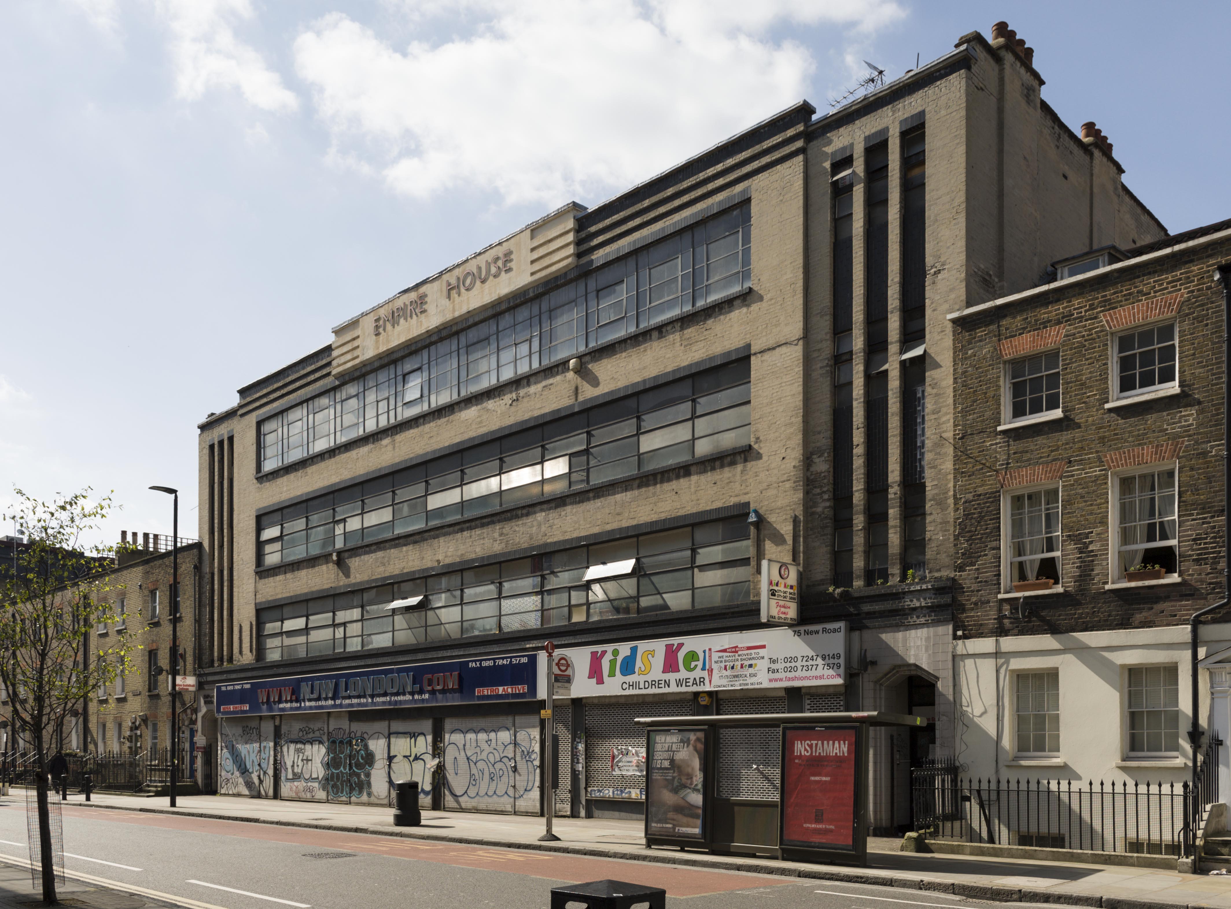
{
"id": 331,
"title": "Empire House from the south-east in 2016",
"author": {
"id": 27,
"username": "DerekKendall"
},
"feature": {
"id": 818,
"type": "Feature",
"geometry": {
"type": "MultiPolygon",
"coordinates": [
[
[
[
-0.062607619616584,
51.51670416137332
],
[
-0.062483026406764,
51.51671643673086
],
[
-0.062416117577308,
51.51644603963058
],
[
-0.062646625826437,
51.5164237357585
],
[
-0.062708051102108,
51.516691321509754
],
[
-0.062607619616584,
51.51670416137332
]
]
]
]
},
"properties": {
"b_number": "67-75",
"b_name": "Empire House",
"street": "New Road",
"address": "Empire House, 67-75 New Road",
"feature_type": "WHITECHAPEL_BUILDING",
"count": 9,
"search_str": "Empire House"
},
"tags": [
"H. Victor Kerr"
]
},
"file": "https://surveyoflondon.org/media/uploads/features/818/SoL%20Whitechapel100154.jpg",
"description": "",
"copyright": true,
"created": "2016-09-02"
},
{
"id": 391,
"title": "Entrance to Gunthorpe Street under 88 Whitechapel High Street in 2016",
"author": {
"id": 27,
"username": "DerekKendall"
},
"feature": {
"id": 320,
"type": "Feature",
"geometry": {
"type": "MultiPolygon",
"coordinates": [
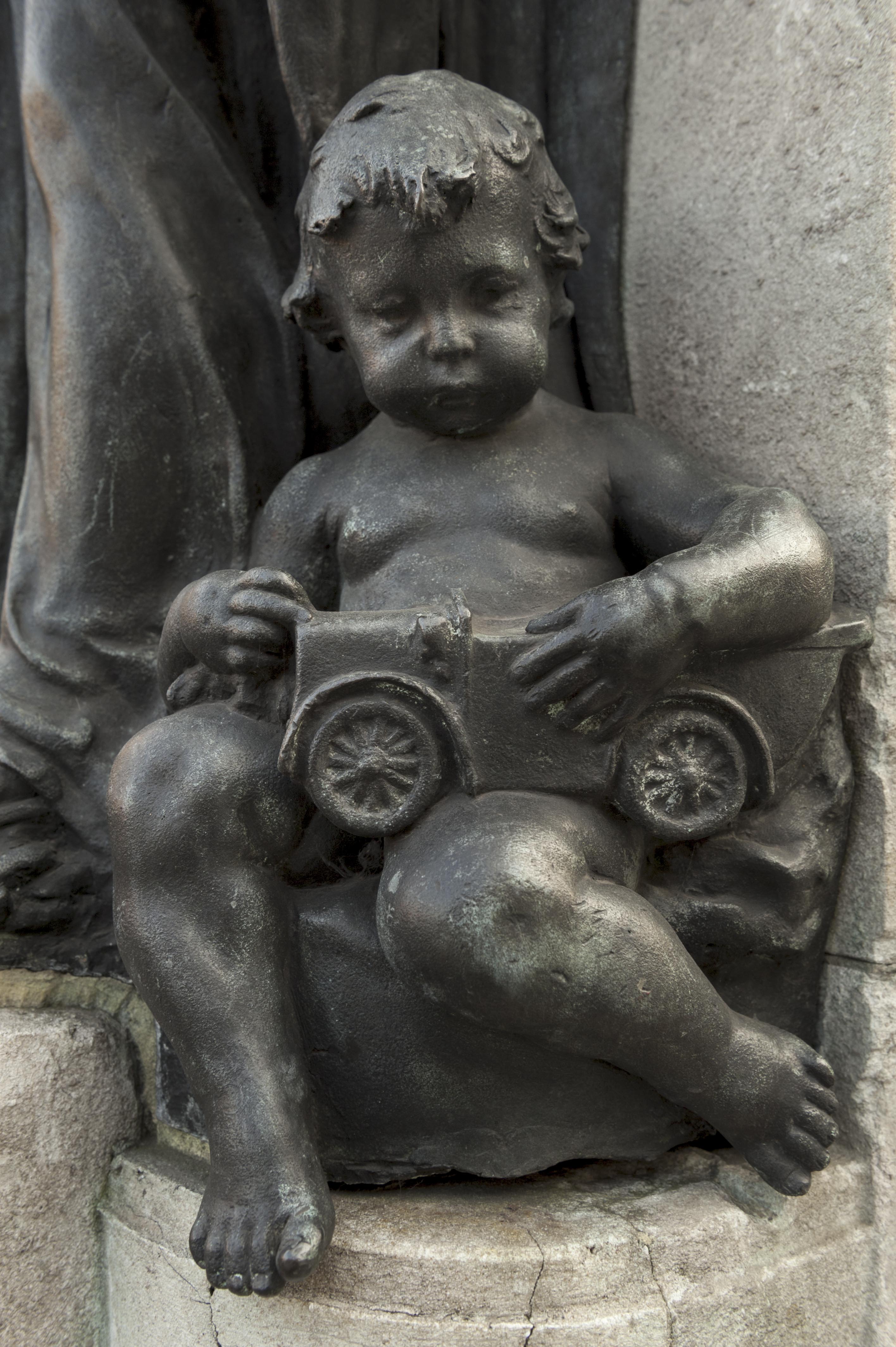
[
[
[
-0.070675600100611,
51.515794184070096
],
[
-0.070769995134563,
51.515756153916136
],
[
-0.070851493267144,
51.51583890762329
],
[
-0.070808897803058,
51.51585538579538
],
[
-0.07083471028347,
51.5158819522166
],
[
-0.070898937798067,
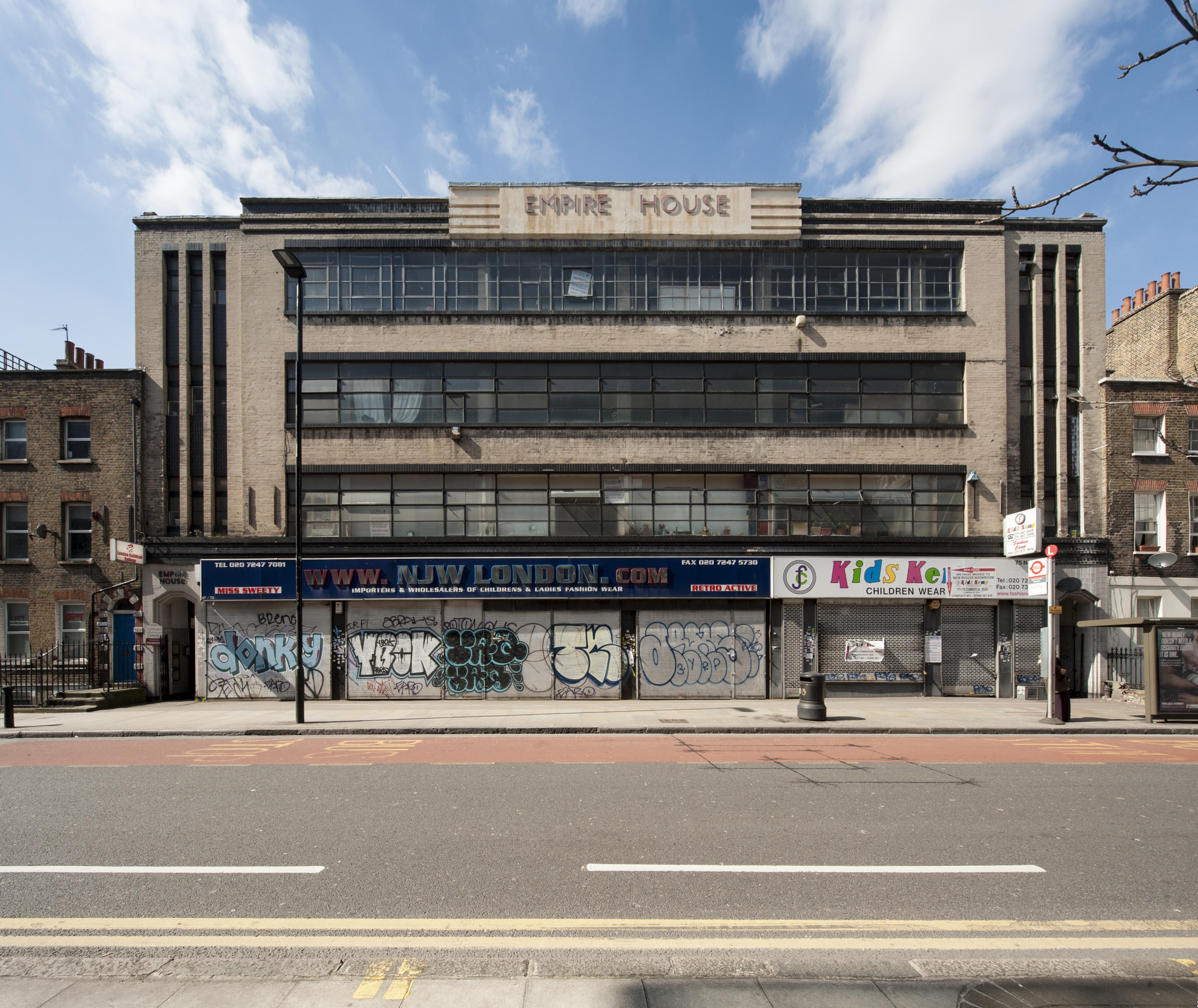
51.5159677448042
],
[
-0.070852952784197,
51.51598194280654
],
[
-0.070675600100611,
51.515794184070096
]
]
]
]
},
"properties": {
"b_number": "88",
"b_name": "88 Whitechapel High Street",
"street": "Whitechapel High Street",
"address": "88 Whitechapel High Street, London E1 7QX",
"feature_type": "WHITECHAPEL_BUILDING",
"count": 5,
"search_str": "88 Whitechapel High Street"
},
"tags": []
},
"file": "https://surveyoflondon.org/media/uploads/features/320/SoL%20Whitechapel100375.jpg",
"description": "",
"copyright": true,
"created": "2016-09-13"
},
{
"id": 392,
"title": "88 Whitechapel High Street in 2016",
"author": {
"id": 27,
"username": "DerekKendall"
},
"feature": {
"id": 320,
"type": "Feature",
"geometry": {
"type": "MultiPolygon",
"coordinates": [
[
[
[
-0.070675600100611,
51.515794184070096
],
[
-0.070769995134563,
51.515756153916136
],
[
-0.070851493267144,
51.51583890762329
],
[
-0.070808897803058,
51.51585538579538
],
[
-0.07083471028347,
51.5158819522166
],
[
-0.070898937798067,
51.5159677448042
],
[
-0.070852952784197,
51.51598194280654
],
[
-0.070675600100611,
51.515794184070096
]
]
]
]
},
"properties": {
"b_number": "88",
"b_name": "88 Whitechapel High Street",
"street": "Whitechapel High Street",
"address": "88 Whitechapel High Street, London E1 7QX",
"feature_type": "WHITECHAPEL_BUILDING",
"count": 5,
"search_str": "88 Whitechapel High Street"
},
"tags": []
},
"file": "https://surveyoflondon.org/media/uploads/features/320/SoL%20Whitechapel100371.jpg",
"description": "",
"copyright": true,
"created": "2016-09-13"
},
{
"id": 506,
"title": "186–196 Whitechapel Road, photographed in 1955",
"author": {
"id": 37,
"username": "HistoricEngland"
},
"feature": {
"id": 1227,
"type": "Feature",
"geometry": {
"type": "MultiPolygon",
"coordinates": [
[
[
[
-0.058796596412285,
51.51912310433929
],
[
-0.057896913703648,
51.51929776742821
],
[
-0.057646155790783,
51.51878891291734
],
[
-0.057726960269829,
51.518773414154225
],
[
-0.057663251646104,
51.51864413103036
],
[
-0.058003630287349,
51.51857884372657
],
[
-0.058058858263524,
51.51869091551577
],
[
-0.058183402152667,
51.518667026720365
],
[
-0.058192757854339,
51.51868601168758
],
[
-0.058228318266828,
51.5186791908066
],
[
-0.058378536493976,
51.518984017000164
],
[
-0.058419330251411,
51.51897619228836
],
[
-0.058450444692009,
51.51903932977383
],
[
-0.05871794555232,
51.51898801961153
],
[
-0.058796596412285,
51.51912310433929
]
]
]
]
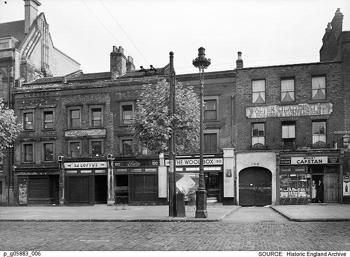
},
"properties": {
"b_number": "180–206",
"b_name": "East London Mail Centre and E1 Delivery Office",
"street": "Whitechapel Road",
"address": "East London Mail Centre and E1 Delivery Office",
"feature_type": "WHITECHAPEL_BUILDING",
"count": 14,
"search_str": "East London Mail Centre and E1 Delivery Office"
},
"tags": []
},
"file": "https://surveyoflondon.org/media/uploads/features/1227/p_g05883_006.jpg",
"description": "186–196 Whitechapel Road, including the builder's works of Walter Gladding & Co., were acquired for the redevelopment of the Eastern District Post Office. \nReproduced by permission of the Historic England Archive (see archive.HistoricEngland.org.uk)",
"copyright": false,
"created": "2017-03-08"
},
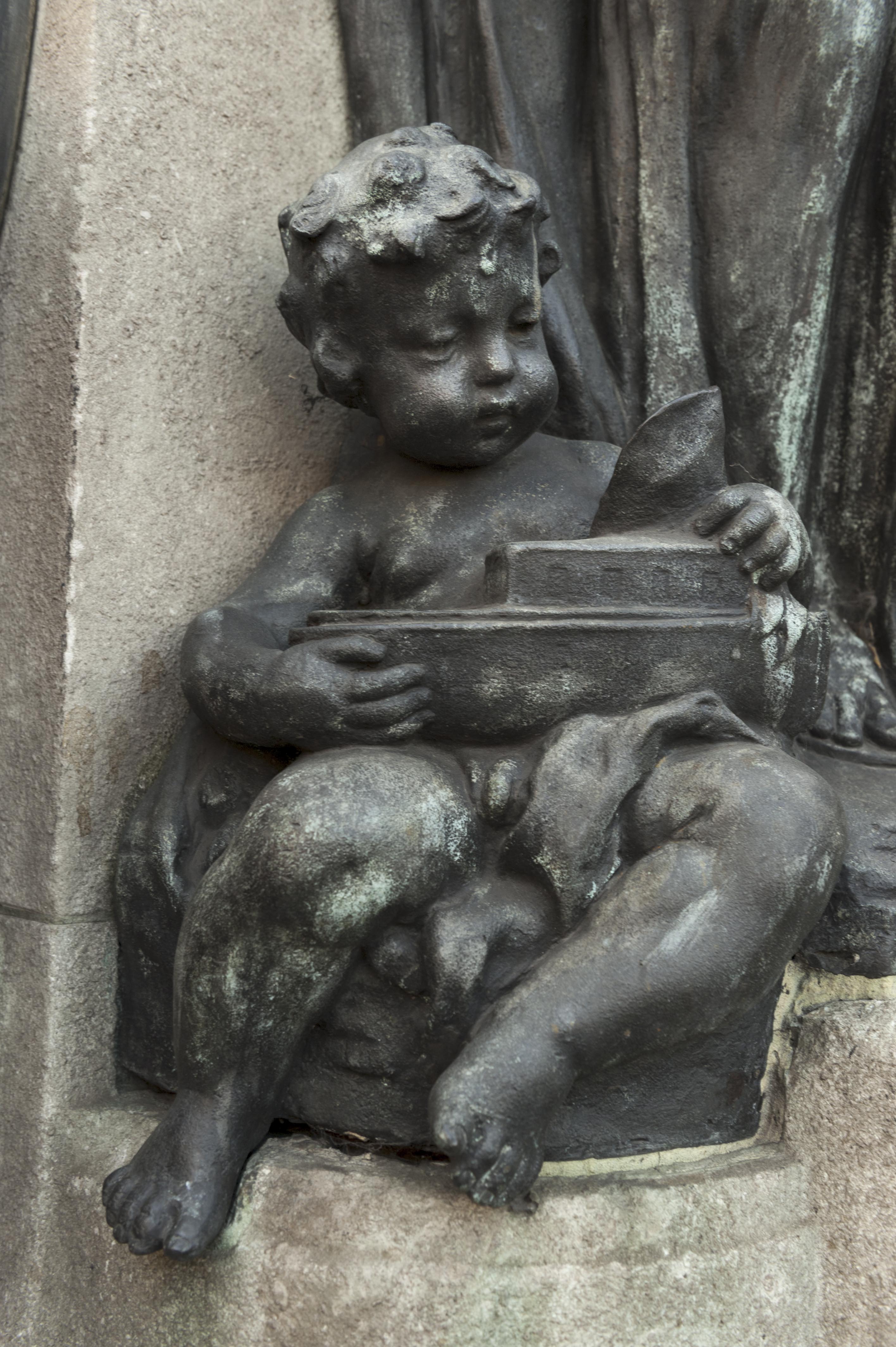
{
"id": 307,
"title": "Drinking Fountain, 1911, W. S. Frith, cherub two",
"author": {
"id": 27,
"username": "DerekKendall"
},
"feature": {
"id": 1698,
"type": "Feature",
"geometry": {
"type": "MultiPolygon",
"coordinates": [
[
[
[
-0.062755898137067,
51.51857235799611
],
[
-0.058216859270041,
51.51960039921044
],
[
-0.058148482851386,
51.51948612756745
],
[
-0.061091729886378,
51.51883423152082
],
[
-0.061616259170046,
51.51871888429734
],
[
-0.06270768344222,
51.51847582817058
],
[
-0.062755898137067,
51.51857235799611
]
]
]
]
},
"properties": {
"b_number": "",
"b_name": "",
"street": "Whitechapel Road",
"address": "Whitechapel Market, Whitechapel Road",
"feature_type": "PLACE",
"count": 48,
"search_str": "Whitechapel Market, Whitechapel Road"
},
"tags": []
},
"file": "https://surveyoflondon.org/media/uploads/features/491/SoL%20Whitechapel100414.jpg",
"description": "",
"copyright": true,
"created": "2016-08-23"
},
{
"id": 333,
"title": "Empire House in 2016",
"author": {
"id": 27,
"username": "DerekKendall"
},
"feature": {
"id": 818,
"type": "Feature",
"geometry": {
"type": "MultiPolygon",
"coordinates": [
[
[
[
-0.062607619616584,
51.51670416137332
],
[
-0.062483026406764,
51.51671643673086
],
[
-0.062416117577308,
51.51644603963058
],
[
-0.062646625826437,
51.5164237357585
],
[
-0.062708051102108,
51.516691321509754
],
[
-0.062607619616584,
51.51670416137332
]
]
]
]
},
"properties": {
"b_number": "67-75",
"b_name": "Empire House",
"street": "New Road",
"address": "Empire House, 67-75 New Road",
"feature_type": "WHITECHAPEL_BUILDING",
"count": 9,
"search_str": "Empire House"
},
"tags": [
"H. Victor Kerr"
]
},
"file": "https://surveyoflondon.org/media/uploads/features/818/SoL%20Whitechapel100156.jpg",
"description": "",
"copyright": true,
"created": "2016-09-02"
},
{
"id": 480,
"title": "Working Inside Loom House",
"author": {
"id": 72,
"username": "eric"
},
"feature": {
"id": 1054,
"type": "Feature",
"geometry": {
"type": "MultiPolygon",
"coordinates": [
[
[
[
-0.067624988998484,
51.51289617869746
],
[
-0.067180798939432,
51.512911920220176
],
[
-0.067133711242303,
51.512567481740106
],
[
-0.067109487043094,
51.512455102488246
],
[
-0.067094022808022,
51.51237277531417
],
[
-0.067355415992025,
51.51233326528946
],
[
-0.067556363832002,
51.51229971390102
],
[
-0.067559932926382,
51.512347068603766
],
[
-0.067564604000022,
51.512473731628916
],
[
-0.06762108926581,
51.51287737297797
],
[
-0.067624988998484,
51.51289617869746
]
]
]
]
},
"properties": {
"b_number": "101",
"b_name": "The Loom, 101 Back Church Lane",
"street": "Back Church Lane",
"address": "The Loom, 101 Back Church Lane",
"feature_type": "WHITECHAPEL_BUILDING",
"count": 10,
"search_str": "The Loom, 101 Back Church Lane"
},
"tags": []
},
"file": "https://surveyoflondon.org/media/uploads/features/1054/Browne.assess.JPG",
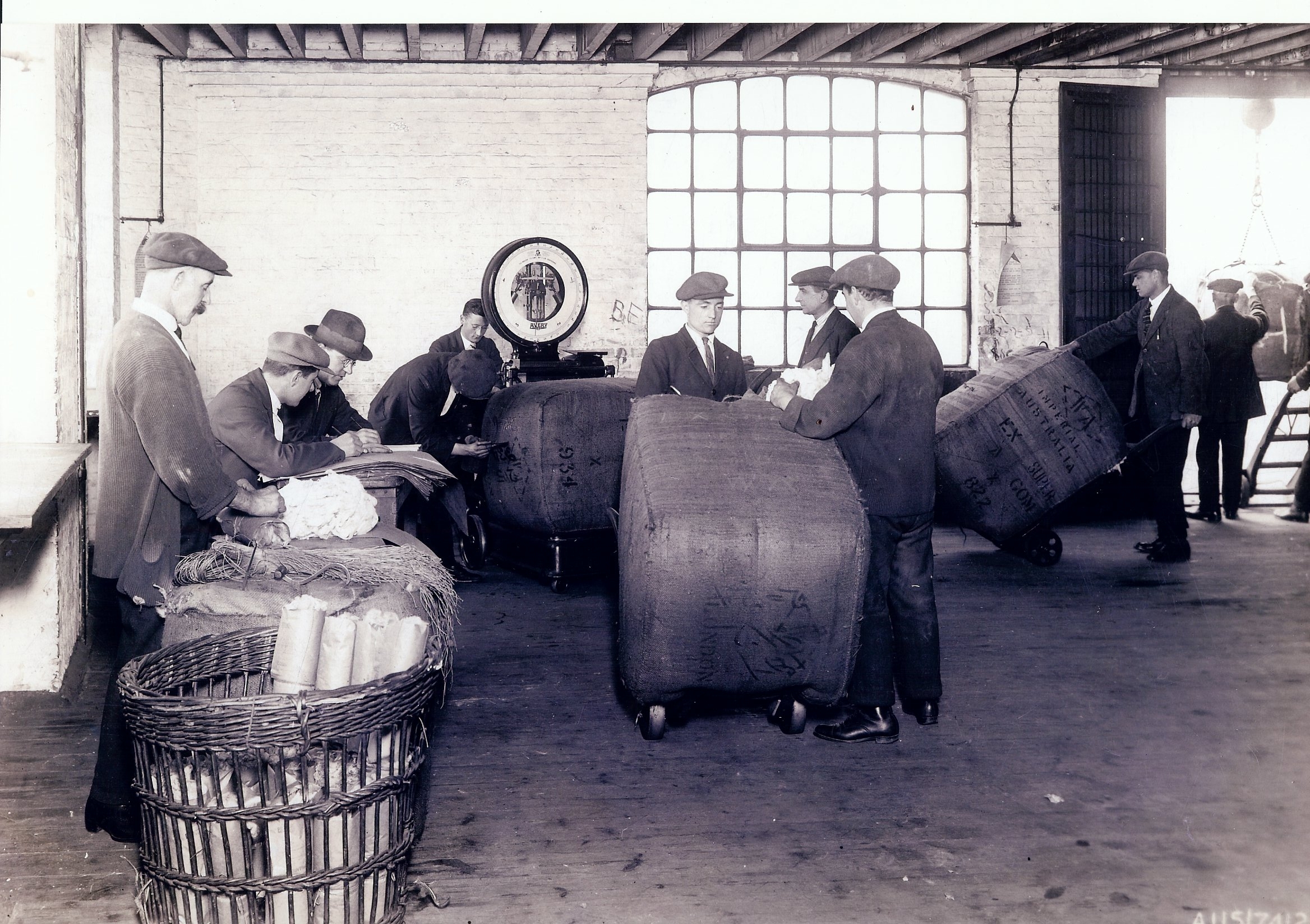
"description": "Photo of a group of Browne & Eagle staff assessing imported wool quality, somewhere inside Loom House in the early years. Note all are well dressed, with polished shoes, and caps, except for the 'gaffer' who is wearing a bowler. Samples are being taken, assessed, and kept in a wicker basket.",
"copyright": false,
"created": "2017-01-15"
},
{
"id": 393,
"title": "Chandlery House in 2016",
"author": {
"id": 27,
"username": "DerekKendall"
},
"feature": {
"id": 1005,
"type": "Feature",
"geometry": {
"type": "MultiPolygon",
"coordinates": [
[
[
[
-0.067180798939432,
51.512911920220176
],
[
-0.067624988998484,
51.51289617869746
],
[
-0.067674782792481,
51.51313629851437
],
[
-0.067721744056023,
51.51313289915908
],
[
-0.067755852211198,
51.51322248870878
],
[
-0.067682509657788,
51.51321710704479
],
[
-0.067654590885861,
51.513297328210555
],
[
-0.067516875836223,
51.51328532147534
],
[
-0.067468956763533,
51.51341668205499
],
[
-0.067277526303318,
51.51337909942833
],
[
-0.067137642973819,
51.51333104278721
],
[
-0.067188431523132,
51.51317071067776
],
[
-0.067203219362638,
51.51308470897374
],
[
-0.067183076322121,
51.51292857876673
],
[
-0.067180798939432,
51.512911920220176
]
],
[
[
-0.067402751092455,
51.513321694761274
],
[
-0.067420144835674,
51.51325312417157
],
[
-0.067384587480254,
51.51325045159809
],
[
-0.067384326780274,
51.51323027699892
],
[
-0.067335343500746,
51.513228774201664
],
[
-0.067319383083405,
51.513316147649554
],
[
-0.067402751092455,
51.513321694761274
]
],
[
[
-0.067492150220602,
51.51318475803046
],
[
-0.067522036285235,
51.513084399017174
],
[
-0.067453414453496,
51.51307283525235
],
[
-0.067418954868062,
51.51317590098832
],
[
-0.067492150220602,
51.51318475803046
]
],
[
[
-0.06747986041909,
51.51304058127036
],
[
-0.067475683647445,
51.51294174750583
],
[
-0.067394851036263,
51.51294215421109
],
[
-0.067401211342125,
51.51304206725618
],
[
-0.06747986041909,
51.51304058127036
]
]
]
]
},
"properties": {
"b_number": "40",
"b_name": "Chandlery House, 40 Gower's Walk",
"street": "Gower's Walk",
"address": "Chandlery House, 40 Gower's Walk",
"feature_type": "WHITECHAPEL_BUILDING",
"count": 11,
"search_str": "Chandlery House, 40 Gower's Walk"
},
"tags": []
},
"file": "https://surveyoflondon.org/media/uploads/features/1005/SoL%20Whitechapel100419.jpg",
"description": "",
"copyright": true,
"created": "2016-09-13"
},
{
"id": 288,
"title": "St Philip's Church, view from the south-west in 2016",
"author": {
"id": 27,
"username": "DerekKendall"
},
"feature": {
"id": 1063,
"type": "Feature",
"geometry": {
"type": "MultiPolygon",
"coordinates": [
[
[
[
-0.060845062076888,
51.517232461665024
],
[
-0.060858061981046,
51.517297370705585
],
[
-0.060852072355982,
51.51729777282787
],
[
-0.060850777279358,
51.517292038613824
],
[
-0.060836585058279,
51.51723251416014
],
[
-0.060769976187858,
51.51723703364601
],
[
-0.060780310614954,
51.51729938465229
],
[
-0.060851422100426,
51.517294893689865
],
[
-0.060852072355982,
51.51729777282787
],
[
-0.060780756007888,
51.51730231203111
],
[
-0.060433008250066,
51.51733065140396
],
[
-0.060436612097579,
51.51734759826428
],
[
-0.060301835648786,
51.517358754570346
],
[
-0.060301267692063,
51.517334324990614
],
[
-0.060276367898553,
51.517334550322296
],
[
-0.060277606963858,
51.51738784759974
],
[
-0.060240911793285,
51.51738817966408
],
[
-0.060239603561777,
51.51733190531689
],
[
-0.060233709433579,
51.517328890670484
],
[
-0.060224675865392,
51.517324270305814
],
[
-0.06015408706542,
51.51728816646581
],
[
-0.060146994469308,
51.51728968696465
],
[
-0.06013876083629,
51.51729145207641
],
[
-0.060122232338685,
51.51729197252953
],
[
-0.060108489079552,
51.51729240527865
],
[
-0.060095089193358,
51.517291262708895
],
[
-0.060083703724374,
51.51729029190144
],
[
-0.060071883086905,
51.51728644484157
],
[
-0.060064540680754,
51.517282150214506
],
[
-0.060058159323826,
51.51727491549124
],
[
-0.060055164331108,
51.517266693493994
],
[
-0.060055745593556,
51.51725957394812
],
[
-0.060059185744876,
51.51725076287493
],
[
-0.060064720251821,
51.51724301807266
],
[
-0.060073694330703,
51.517237266202336
],
[
-0.060084008477322,
51.51723065542268
],
[
-0.060097749600684,
51.51722563043536
],
[
-0.060110820839004,
51.517222752616206
],
[
-0.060124043459833,
51.517219841466186
],
[
-0.060189323543314,
51.51717326471942
],
[
-0.060230524081512,
51.51717027080275
],
[
-0.060225029840865,
51.51714083975863
],
[
-0.060123966783513,
51.51714818367497
],
[
-0.060109355845798,
51.51706991604146
],
[
-0.060759990305139,
51.51701795039293
],
[
-0.060811901066283,
51.51703520053784
],
[
-0.060831243559519,
51.51714443032851
],
[
-0.060823879564995,
51.51714494230656
],
[
-0.060806280310304,
51.517037602197114
],
[
-0.060758637924026,
51.51702144683871
],
[
-0.060293715895444,
51.517058443881275
],
[
-0.060305285997092,
51.51711767437194
],
[
-0.060380056450023,
51.51711283445328
],
[
-0.060382025685871,
51.5171233828903
],
[
-0.060648003222123,
51.51710939602032
],
[
-0.060636939828746,
51.517031131377244
],
[
-0.060684659737861,
51.51702734366158
],
[
-0.060703670471419,
51.51713214159525
],
[
-0.060746477467265,
51.51712961322092
],
[
-0.060749678508541,
51.517150266791134
],
[
-0.060831225907887,
51.517144845854745
],
[
-0.060845060388772,
51.51723245093664
],
[
-0.060845062076888,
51.517232461665024
]
]
]
]
},
"properties": {
"b_number": "",
"b_name": "",
"street": "Stepney Way",
"address": "St Philip's Church Library and the Royal London Museum",
"feature_type": "WHITECHAPEL_BUILDING",
"count": 52,
"search_str": "St Philip's Church Library and the Royal London Museum"
},
"tags": []
},
"file": "https://surveyoflondon.org/media/uploads/features/1063/SoL%20Whitechapel100150.jpg",
"description": "",
"copyright": true,
"created": "2016-08-17"
},
{
"id": 251,
"title": "The Royal London Hospital, view from the north",
"author": {
"id": 27,
"username": "DerekKendall"
},
"feature": {
"id": 1055,
"type": "Feature",
"geometry": {
"type": "MultiPolygon",
"coordinates": [
[
[
[
-0.059603168139066,
51.51814636262423
],
[
-0.05875064513042,
51.51833756100746
],
[
-0.05880027021497,
51.518428132403216
],
[
-0.058410175950557,
51.51851717894338
],
[
-0.058335119342649,
51.518387426557936
],
[
-0.058167883621195,
51.51840165384316
],
[
-0.058022191519375,
51.51770291533161
],
[
-0.058048225832449,
51.51770082847909
],
[
-0.0579567547367,
51.51754022786524
],
[
-0.057495813231092,
51.51758034522329
],
[
-0.057465726563153,
51.517443962991116
],
[
-0.057673016552398,
51.517425768571606
],
[
-0.057646690264841,
51.51729977054202
],
[
-0.057699256976843,
51.517294411534294
],
[
-0.059206618543123,
51.51716361286622
],
[
-0.05935638144775,
51.51742122218897
],
[
-0.059104959322273,
51.51744251080535
],
[
-0.059176189888187,
51.51756734317978
],
[
-0.05939181053717,
51.51754735040721
],
[
-0.059446707065502,
51.517822454567046
],
[
-0.059415919392695,
51.51782446306142
],
[
-0.059603168139066,
51.51814636262423
]
]
]
]
},
"properties": {
"b_number": "",
"b_name": "",
"street": "Stepney Way",
"address": "The Royal London Hospital",
"feature_type": "WHITECHAPEL_BUILDING",
"count": 13,
"search_str": "The Royal London Hospital"
},
"tags": []
},
"file": "https://surveyoflondon.org/media/uploads/features/1055/SoL%20Whitechapel100389.jpg",
"description": "",
"copyright": true,
"created": "2016-08-17"
},
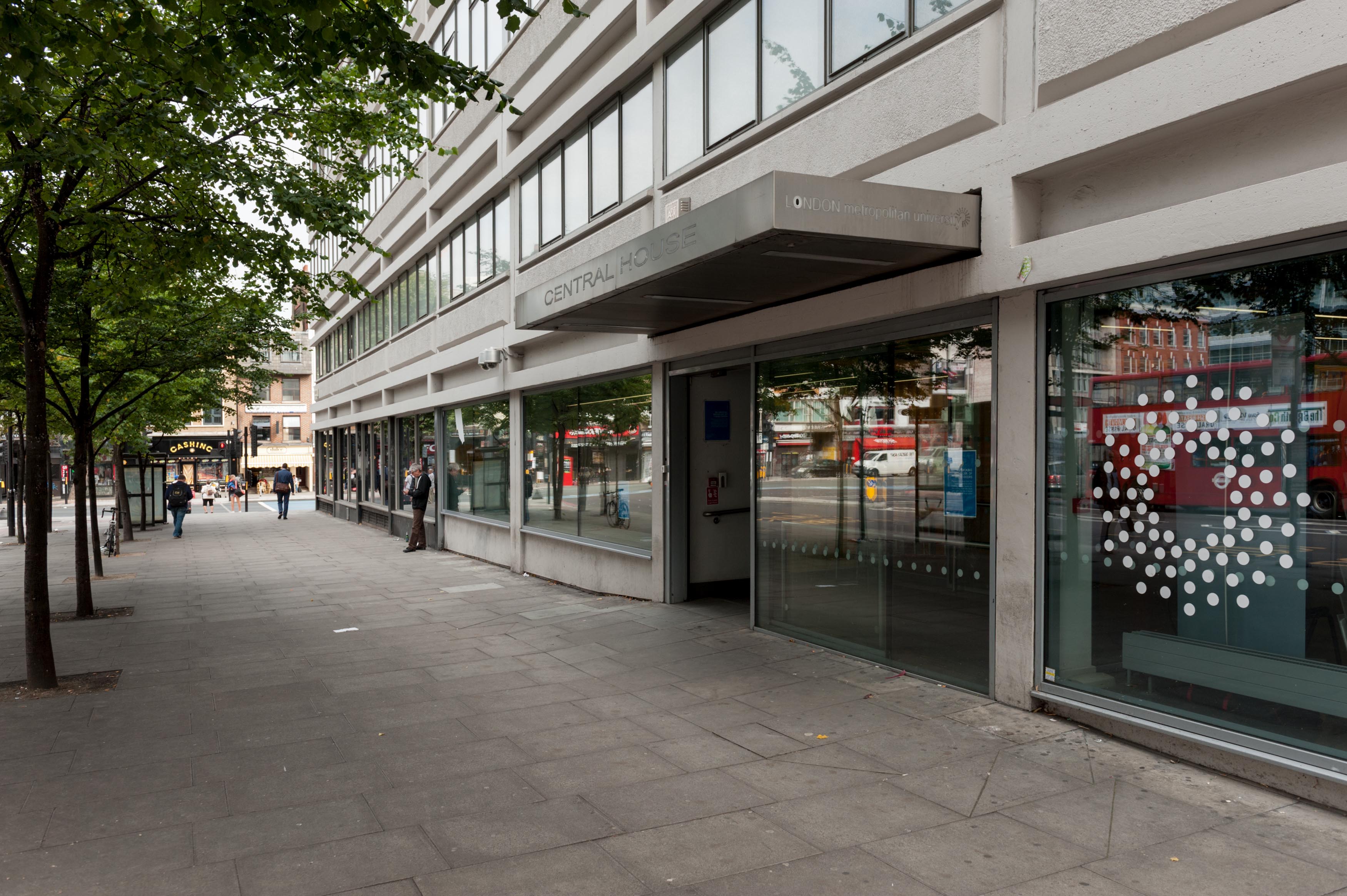
{
"id": 766,
"title": "Commercial Road entrance canopy, August 2017",
"author": {
"id": 27,
"username": "DerekKendall"
},
"feature": {
"id": 13,
"type": "Feature",
"geometry": {
"type": "MultiPolygon",
"coordinates": [
[
[
[
-0.070300598211778,
51.51553175369474
],
[
-0.069909685041584,
51.51566601870094
],
[
-0.069762598214758,
51.51551508304666
],
[
-0.06980073408505,
51.51550203175569
],
[
-0.069734850402611,
51.515430598241764
],
[
-0.0696935021834,
51.515445550776434
],
[
-0.069553336995274,
51.515279095645894
],
[
-0.069960309630875,
51.51513532543541
],
[
-0.070300598211778,
51.51553175369474
]
]
]
]
},
"properties": {
"b_number": "59-63",
"b_name": "Central House, London Metropolitan University",
"street": "Whitechapel High Street",
"address": "Central House, 59-63 Whitechapel High Street",
"feature_type": "WHITECHAPEL_BUILDING",
"count": 18,
"search_str": "Central House, London Metropolitan University"
},
"tags": []
},
"file": "https://surveyoflondon.org/media/uploads/features/13/SoL%20Whitechapel%20101323.jpg",
"description": "",
"copyright": true,
"created": "2017-09-12"
},
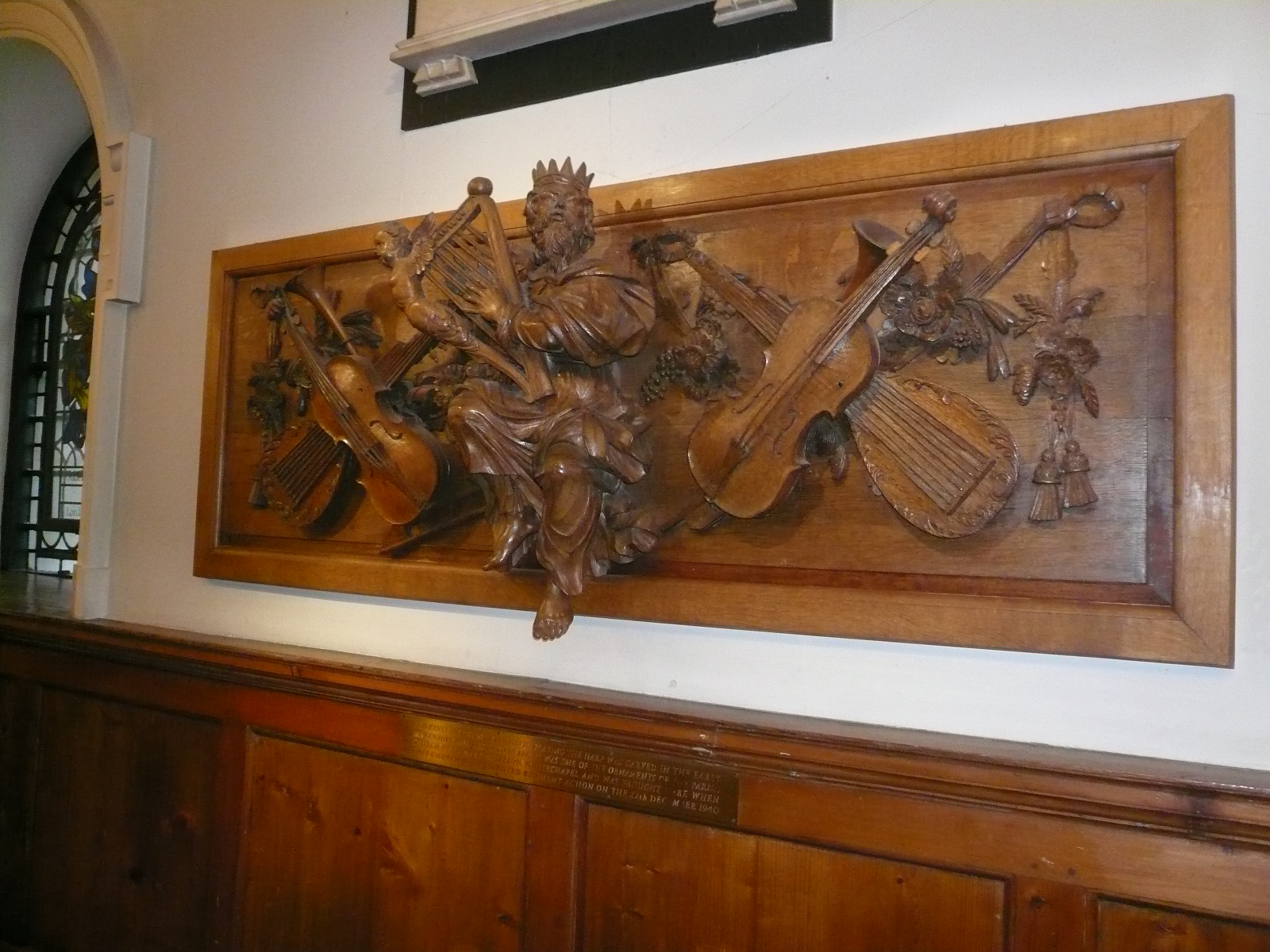
{
"id": 1041,
"title": "Carved panel of 1714 from west gallery of the Church of St Mary Matfelon, in St Botolph Aldgate",
"author": {
"id": 212,
"username": "AnsarAhmedUllah"
},
"feature": {
"id": 296,
"type": "Feature",
"geometry": {
"type": "MultiPolygon",
"coordinates": [
[
[
[
-0.069238538289603,
51.51610506120929
],
[
-0.069007097235987,
51.5162239535272
],
[
-0.068282200256798,
51.51654369745104
],
[
-0.068157401560378,
51.51641994527148
],
[
-0.067807959279103,
51.51600137496063
],
[
-0.068541180339468,
51.515783257348254
],
[
-0.068555919008956,
51.51580580160597
],
[
-0.068713893455475,
51.515872451567986
],
[
-0.068778503699218,
51.51586114158782
],
[
-0.068817146392177,
51.515922550138725
],
[
-0.068888047037903,
51.51596428315636
],
[
-0.069016085124709,
51.515921053627785
],
[
-0.069107698271647,
51.51601562404751
],
[
-0.069243279190738,
51.515974904669626
],
[
-0.069238538289603,
51.51610506120929
]
]
]
]
},
"properties": {
"b_number": "",
"b_name": "Altab Ali Park, including the site of the parish church of St Mary Matfelon",
"street": "Whitechapel Road",
"address": "Altab Ali Park",
"feature_type": "OPEN_SPACE",
"count": 32,
"search_str": "Altab Ali Park, including the site of the parish church of St Mary Matfelon"
},
"tags": []
},
"file": "https://surveyoflondon.org/media/uploads/features/296/P1170486.JPG",
"description": "In 1714 a west gallery was inserted in the church of the 1670s. The gallery front sported this finely carved wood panel depicting King David playing the harp flanked by musical instruments. It survived rebuilding of the church in the nineteenth century, and bomb damage during the Second World War, upon which it was moved to the Church of St Botolph Aldgate. ",
"copyright": false,
"created": "2018-01-17"
},
{
"id": 332,
"title": "Empire House from the north-east in 2016",
"author": {
"id": 27,
"username": "DerekKendall"
},
"feature": {
"id": 818,
"type": "Feature",
"geometry": {
"type": "MultiPolygon",
"coordinates": [
[
[
[
-0.062607619616584,
51.51670416137332
],
[
-0.062483026406764,
51.51671643673086
],
[
-0.062416117577308,
51.51644603963058
],
[
-0.062646625826437,
51.5164237357585
],
[
-0.062708051102108,
51.516691321509754
],
[
-0.062607619616584,
51.51670416137332
]
]
]
]
},
"properties": {
"b_number": "67-75",
"b_name": "Empire House",
"street": "New Road",
"address": "Empire House, 67-75 New Road",
"feature_type": "WHITECHAPEL_BUILDING",
"count": 9,
"search_str": "Empire House"
},
"tags": [
"H. Victor Kerr"
]
},
"file": "https://surveyoflondon.org/media/uploads/features/818/SoL%20Whitechapel100159.jpg",
"description": "",
"copyright": true,
"created": "2016-09-02"
},
{
"id": 390,
"title": "Oceanair House, shopfronts in 2016",
"author": {
"id": 27,
"username": "DerekKendall"
},
"feature": {
"id": 351,
"type": "Feature",
"geometry": {
"type": "MultiPolygon",
"coordinates": [
[
[
[
-0.073588235846298,
51.51489498850525
],
[
-0.073446258652137,
51.51496358833765
],
[
-0.073581472314101,
51.515072529979086
],
[
-0.07346510291187,
51.515128756556074
],
[
-0.073279292817547,
51.51493636267788
],
[
-0.073219844288517,
51.51484164896286
],
[
-0.07349588362479,
51.51475394088715
],
[
-0.073588235846298,
51.51489498850525
]
]
]
]
},
"properties": {
"b_number": "133-137",
"b_name": "Oceanair House, 133-7 Whitechapel High Street, London E1 7PT",
"street": "Whitechapel High Street",
"address": "Oceanair House, 133-7 Whitechapel High Street, London E1 7PE",
"feature_type": "WHITECHAPEL_BUILDING",
"count": 7,
"search_str": "Oceanair House, 133-7 Whitechapel High Street, London E1 7PT"
},
"tags": []
},
"file": "https://surveyoflondon.org/media/uploads/features/351/SoL%20Whitechapel100309.jpg",
"description": "",
"copyright": true,
"created": "2016-09-13"
},
{
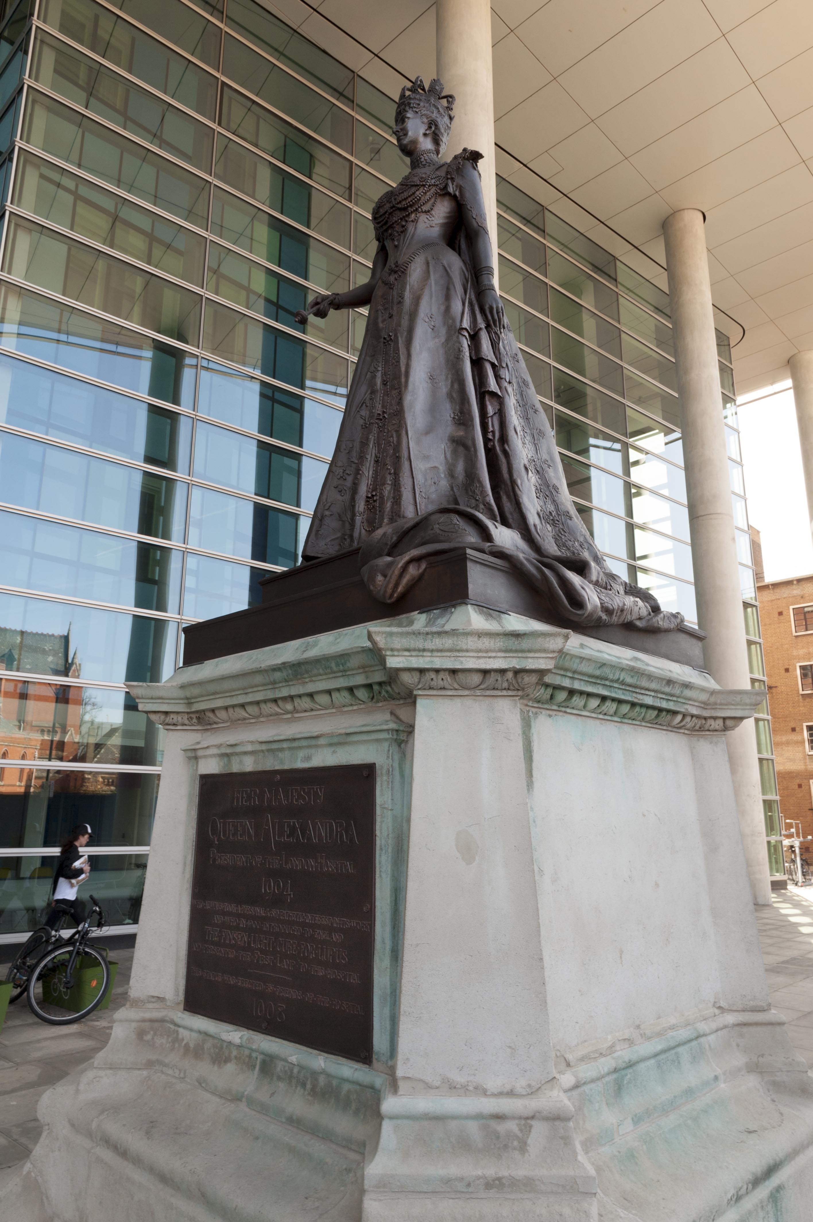
"id": 367,
"title": "Statue of Queen Alexandra by George Wade, 1908",
"author": {
"id": 27,
"username": "DerekKendall"
},
"feature": {
"id": 1055,
"type": "Feature",
"geometry": {
"type": "MultiPolygon",
"coordinates": [
[
[
[
-0.059603168139066,
51.51814636262423
],
[
-0.05875064513042,
51.51833756100746
],
[
-0.05880027021497,
51.518428132403216
],
[
-0.058410175950557,
51.51851717894338
],
[
-0.058335119342649,
51.518387426557936
],
[
-0.058167883621195,
51.51840165384316
],
[
-0.058022191519375,
51.51770291533161
],
[
-0.058048225832449,
51.51770082847909
],
[
-0.0579567547367,
51.51754022786524
],
[
-0.057495813231092,
51.51758034522329
],
[
-0.057465726563153,
51.517443962991116
],
[
-0.057673016552398,
51.517425768571606
],
[
-0.057646690264841,
51.51729977054202
],
[
-0.057699256976843,
51.517294411534294
],
[
-0.059206618543123,
51.51716361286622
],
[
-0.05935638144775,
51.51742122218897
],
[
-0.059104959322273,
51.51744251080535
],
[
-0.059176189888187,
51.51756734317978
],
[
-0.05939181053717,
51.51754735040721
],
[
-0.059446707065502,
51.517822454567046
],
[
-0.059415919392695,
51.51782446306142
],
[
-0.059603168139066,
51.51814636262423
]
]
]
]
},
"properties": {
"b_number": "",
"b_name": "",
"street": "Stepney Way",
"address": "The Royal London Hospital",
"feature_type": "WHITECHAPEL_BUILDING",
"count": 13,
"search_str": "The Royal London Hospital"
},
"tags": []
},
"file": "https://surveyoflondon.org/media/uploads/features/1055/SoL%20Whitechapel100044.jpg",
"description": "",
"copyright": true,
"created": "2016-09-06"
},
{
"id": 308,
"title": "Drinking Fountain, 1911, W. S. Frith, cherub three",
"author": {
"id": 27,
"username": "DerekKendall"
},
"feature": {
"id": 1698,
"type": "Feature",
"geometry": {
"type": "MultiPolygon",
"coordinates": [
[
[
[
-0.062755898137067,
51.51857235799611
],
[
-0.058216859270041,
51.51960039921044
],
[
-0.058148482851386,
51.51948612756745
],
[
-0.061091729886378,
51.51883423152082
],
[
-0.061616259170046,
51.51871888429734
],
[
-0.06270768344222,
51.51847582817058
],
[
-0.062755898137067,
51.51857235799611
]
]
]
]
},
"properties": {
"b_number": "",
"b_name": "",
"street": "Whitechapel Road",
"address": "Whitechapel Market, Whitechapel Road",
"feature_type": "PLACE",
"count": 48,
"search_str": "Whitechapel Market, Whitechapel Road"
},
"tags": []
},
"file": "https://surveyoflondon.org/media/uploads/features/491/SoL%20Whitechapel100415.jpg",
"description": "",
"copyright": true,
"created": "2016-08-23"
},
{
"id": 765,
"title": "North side of Whitechapel iIgh Street looking south towards Central House and Goodman's Fields, August 2017",
"author": {
"id": 27,
"username": "DerekKendall"
},
"feature": {
"id": 13,
"type": "Feature",
"geometry": {
"type": "MultiPolygon",
"coordinates": [
[
[
[
-0.070300598211778,
51.51553175369474
],
[
-0.069909685041584,
51.51566601870094
],
[
-0.069762598214758,
51.51551508304666
],
[
-0.06980073408505,
51.51550203175569
],
[
-0.069734850402611,
51.515430598241764
],
[
-0.0696935021834,
51.515445550776434
],
[
-0.069553336995274,
51.515279095645894
],
[
-0.069960309630875,
51.51513532543541
],
[
-0.070300598211778,
51.51553175369474
]
]
]
]
},
"properties": {
"b_number": "59-63",
"b_name": "Central House, London Metropolitan University",
"street": "Whitechapel High Street",
"address": "Central House, 59-63 Whitechapel High Street",
"feature_type": "WHITECHAPEL_BUILDING",
"count": 18,
"search_str": "Central House, London Metropolitan University"
},
"tags": []
},
"file": "https://surveyoflondon.org/media/uploads/features/13/SoL%20Whitechapel%20101322.jpg",
"description": "",
"copyright": true,
"created": "2017-09-12"
},
{
"id": 254,
"title": "St Philip's Church, view from the east in 2016",
"author": {
"id": 27,
"username": "DerekKendall"
},
"feature": {
"id": 1063,
"type": "Feature",
"geometry": {
"type": "MultiPolygon",
"coordinates": [
[
[
[
-0.060845062076888,
51.517232461665024
],
[
-0.060858061981046,
51.517297370705585
],
[
-0.060852072355982,
51.51729777282787
],
[
-0.060850777279358,
51.517292038613824
],
[
-0.060836585058279,
51.51723251416014
],
[
-0.060769976187858,
51.51723703364601
],
[
-0.060780310614954,
51.51729938465229
],
[
-0.060851422100426,
51.517294893689865
],
[
-0.060852072355982,
51.51729777282787
],
[
-0.060780756007888,
51.51730231203111
],
[
-0.060433008250066,
51.51733065140396
],
[
-0.060436612097579,
51.51734759826428
],
[
-0.060301835648786,
51.517358754570346
],
[
-0.060301267692063,
51.517334324990614
],
[
-0.060276367898553,
51.517334550322296
],
[
-0.060277606963858,
51.51738784759974
],
[
-0.060240911793285,
51.51738817966408
],
[
-0.060239603561777,
51.51733190531689
],
[
-0.060233709433579,
51.517328890670484
],
[
-0.060224675865392,
51.517324270305814
],
[
-0.06015408706542,
51.51728816646581
],
[
-0.060146994469308,
51.51728968696465
],
[
-0.06013876083629,
51.51729145207641
],
[
-0.060122232338685,
51.51729197252953
],
[
-0.060108489079552,
51.51729240527865
],
[
-0.060095089193358,
51.517291262708895
],
[
-0.060083703724374,
51.51729029190144
],
[
-0.060071883086905,
51.51728644484157
],
[
-0.060064540680754,
51.517282150214506
],
[
-0.060058159323826,
51.51727491549124
],
[
-0.060055164331108,
51.517266693493994
],
[
-0.060055745593556,
51.51725957394812
],
[
-0.060059185744876,
51.51725076287493
],
[
-0.060064720251821,
51.51724301807266
],
[
-0.060073694330703,
51.517237266202336
],
[
-0.060084008477322,
51.51723065542268
],
[
-0.060097749600684,
51.51722563043536
],
[
-0.060110820839004,
51.517222752616206
],
[
-0.060124043459833,
51.517219841466186
],
[
-0.060189323543314,
51.51717326471942
],
[
-0.060230524081512,
51.51717027080275
],
[
-0.060225029840865,
51.51714083975863
],
[
-0.060123966783513,
51.51714818367497
],
[
-0.060109355845798,
51.51706991604146
],
[
-0.060759990305139,
51.51701795039293
],
[
-0.060811901066283,
51.51703520053784
],
[
-0.060831243559519,
51.51714443032851
],
[
-0.060823879564995,
51.51714494230656
],
[
-0.060806280310304,
51.517037602197114
],
[
-0.060758637924026,
51.51702144683871
],
[
-0.060293715895444,
51.517058443881275
],
[
-0.060305285997092,
51.51711767437194
],
[
-0.060380056450023,
51.51711283445328
],
[
-0.060382025685871,
51.5171233828903
],
[
-0.060648003222123,
51.51710939602032
],
[
-0.060636939828746,
51.517031131377244
],
[
-0.060684659737861,
51.51702734366158
],
[
-0.060703670471419,
51.51713214159525
],
[
-0.060746477467265,
51.51712961322092
],
[
-0.060749678508541,
51.517150266791134
],
[
-0.060831225907887,
51.517144845854745
],
[
-0.060845060388772,
51.51723245093664
],
[
-0.060845062076888,
51.517232461665024
]
]
]
]
},
"properties": {
"b_number": "",
"b_name": "",
"street": "Stepney Way",
"address": "St Philip's Church Library and the Royal London Museum",
"feature_type": "WHITECHAPEL_BUILDING",
"count": 52,
"search_str": "St Philip's Church Library and the Royal London Museum"
},
"tags": []
},
"file": "https://surveyoflondon.org/media/uploads/features/1063/SoL%20Whitechapel100045_bkLzdA2.jpg",
"description": "",
"copyright": true,
"created": "2016-08-17"
}
]
}