HTTP 200 OK
Allow: GET, HEAD, OPTIONS
Content-Type: application/json
Vary: Accept
{
"count": 1747,
"next": "https://surveyoflondon.org/api/v1/images/?format=api&page=28",
"previous": "https://surveyoflondon.org/api/v1/images/?format=api&page=26",
"results": [
{
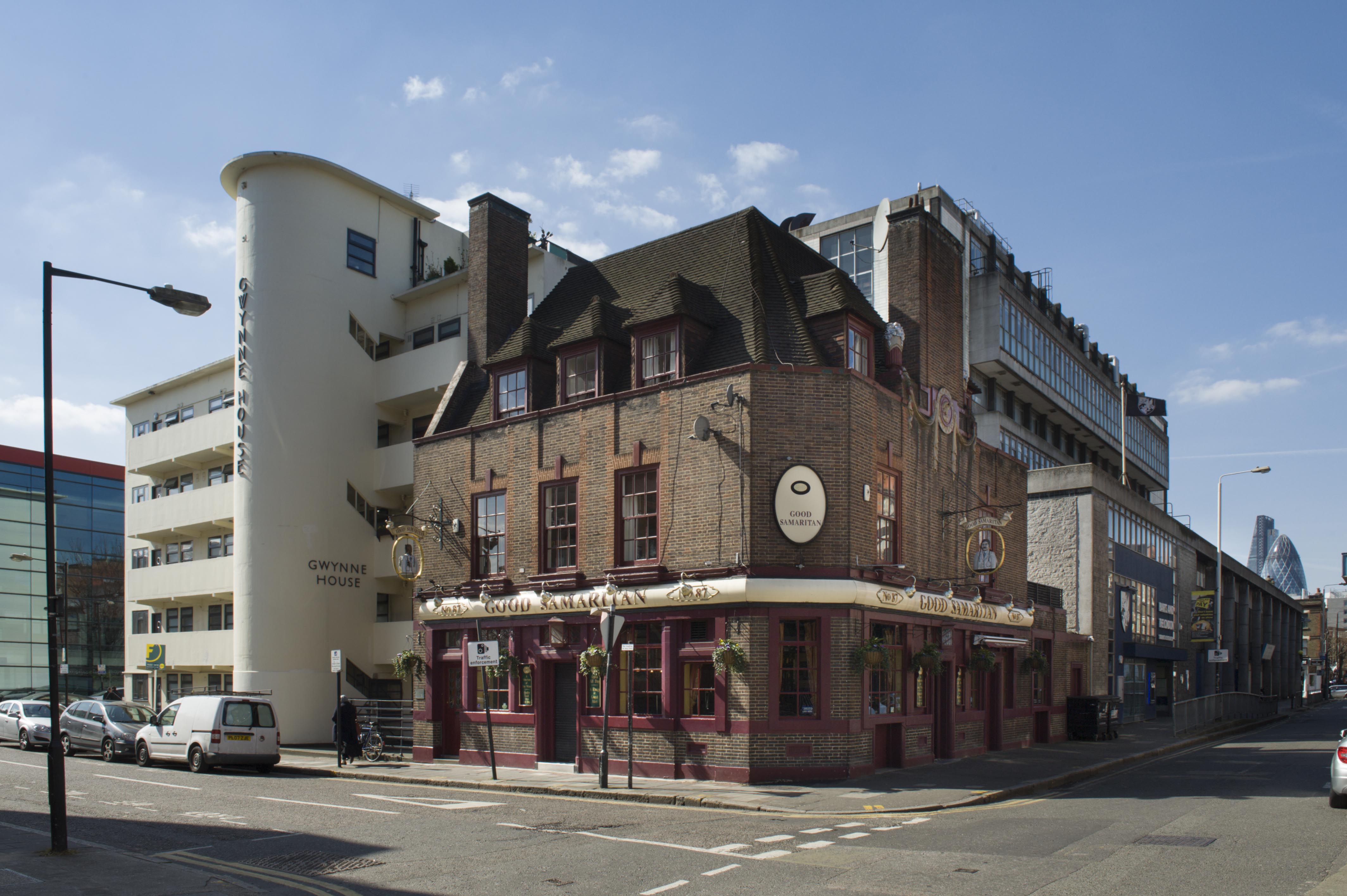
"id": 260,
"title": "The Good Samaritan Public House from the north-east in 2016",
"author": {
"id": 27,
"username": "DerekKendall"
},
"feature": {
"id": 1168,
"type": "Feature",
"geometry": {
"type": "MultiPolygon",
"coordinates": [
[
[
[
-0.061267714228342,
51.51728570229591
],
[
-0.061211821751889,
51.51729102992391
],
[
-0.061212063460602,
51.517292046001835
],
[
-0.061212385738901,
51.51729340077238
],
[
-0.061213949668732,
51.51729997510807
],
[
-0.061054008753201,
51.51731478509992
],
[
-0.06102951561067,
51.5172118208613
],
[
-0.061079278348811,
51.51720721302223
],
[
-0.061169266511209,
51.51719888040671
],
[
-0.061174570672127,
51.51722117764948
],
[
-0.06125068758338,
51.51721412920907
],
[
-0.061267714228342,
51.51728570229591
]
]
]
]
},
"properties": {
"b_number": "87",
"b_name": "The Good Samaritan Public House",
"street": "Turner Street",
"address": "The Good Samaritan Public House, 87 Turner Street",
"feature_type": "WHITECHAPEL_BUILDING",
"count": 5,
"search_str": "The Good Samaritan Public House"
},
"tags": []
},
"file": "https://surveyoflondon.org/media/uploads/features/1168/SoL%20Whitechapel100104_WtLHjft.jpg",
"description": "",
"copyright": true,
"created": "2016-08-17"
},
{
"id": 264,
"title": "Dental Hospital and Institute of Dentistry from the south-west in 2016",
"author": {
"id": 27,
"username": "DerekKendall"
},
"feature": {
"id": 1166,
"type": "Feature",
"geometry": {
"type": "MultiPolygon",
"coordinates": [
[
[
[
-0.062351470894244,
51.51718815629615
],
[
-0.061292929801261,
51.51728379235413
],
[
-0.061222794483401,
51.51696856036261
],
[
-0.062282192019856,
51.516876806223415
],
[
-0.062351470894244,
51.51718815629615
]
]
]
]
},
"properties": {
"b_number": "",
"b_name": "",
"street": "Stepney Way",
"address": "Dental Hospital and Institute of Dentistry",
"feature_type": "WHITECHAPEL_BUILDING",
"count": 13,
"search_str": "Dental Hospital and Institute of Dentistry"
},
"tags": [
"Dental Institute",
"London Hospital",
"Royal London Hospital",
"Stephen Statham & Associates",
"Students' Union"
]
},
"file": "https://surveyoflondon.org/media/uploads/features/1166/SoL%20Whitechapel100131.jpg",
"description": "",
"copyright": true,
"created": "2016-08-17"
},
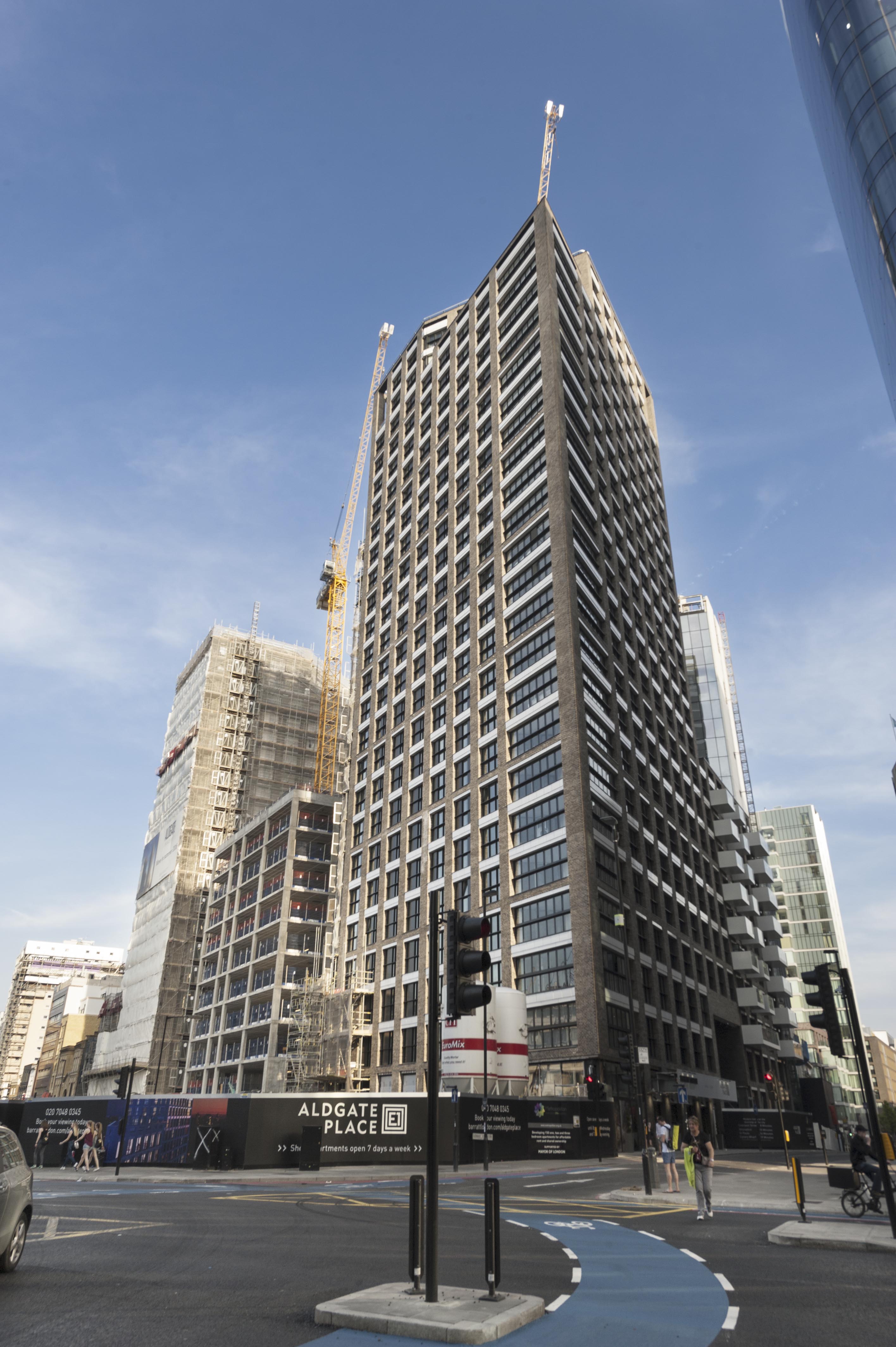
{
"id": 371,
"title": "Aldgate Place in 2016",
"author": {
"id": 27,
"username": "DerekKendall"
},
"feature": {
"id": 1442,
"type": "Feature",
"geometry": {
"type": "MultiPolygon",
"coordinates": [
[
[
[
-0.070921854694497,
51.51498364468987
],
[
-0.070540769095193,
51.514951281772646
],
[
-0.070585982363243,
51.514704808586835
],
[
-0.070963912170839,
51.51473565631881
],
[
-0.070921854694497,
51.51498364468987
]
]
]
]
},
"properties": {
"b_number": "",
"b_name": "Aldgate Place",
"street": "Buckle Street",
"address": "Clayton Hotel, Aldgate Place, Buckle Street",
"feature_type": "WHITECHAPEL_BUILDING",
"count": 4,
"search_str": "Aldgate Place"
},
"tags": []
},
"file": "https://surveyoflondon.org/media/uploads/features/1442/SoL%20Whitechapel100381.jpg",
"description": "",
"copyright": true,
"created": "2016-09-06"
},
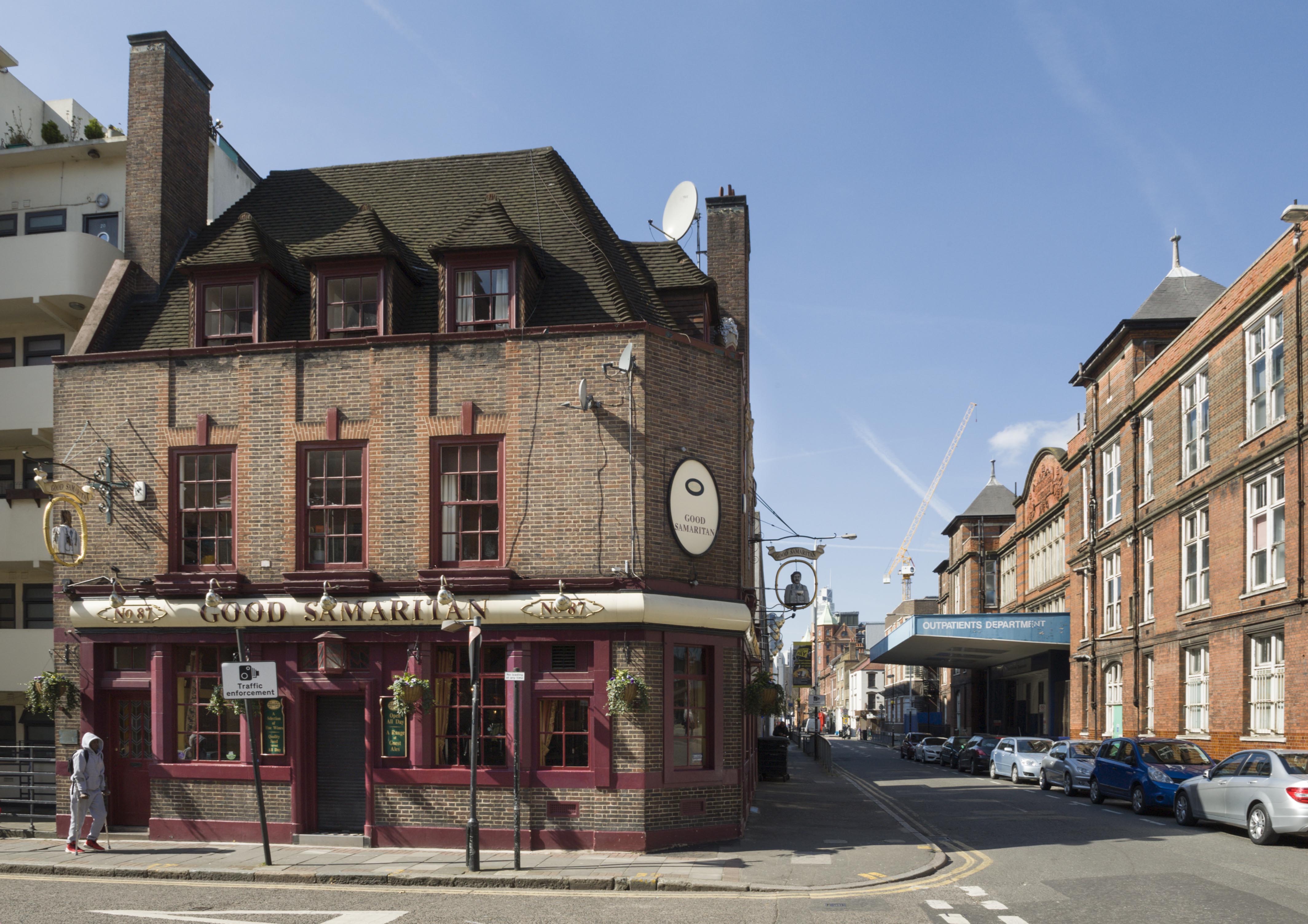
{
"id": 263,
"title": "The Good Samaritan Public House in 2016",
"author": {
"id": 27,
"username": "DerekKendall"
},
"feature": {
"id": 1168,
"type": "Feature",
"geometry": {
"type": "MultiPolygon",
"coordinates": [
[
[
[
-0.061267714228342,
51.51728570229591
],
[
-0.061211821751889,
51.51729102992391
],
[
-0.061212063460602,
51.517292046001835
],
[
-0.061212385738901,
51.51729340077238
],
[
-0.061213949668732,
51.51729997510807
],
[
-0.061054008753201,
51.51731478509992
],
[
-0.06102951561067,
51.5172118208613
],
[
-0.061079278348811,
51.51720721302223
],
[
-0.061169266511209,
51.51719888040671
],
[
-0.061174570672127,
51.51722117764948
],
[
-0.06125068758338,
51.51721412920907
],
[
-0.061267714228342,
51.51728570229591
]
]
]
]
},
"properties": {
"b_number": "87",
"b_name": "The Good Samaritan Public House",
"street": "Turner Street",
"address": "The Good Samaritan Public House, 87 Turner Street",
"feature_type": "WHITECHAPEL_BUILDING",
"count": 5,
"search_str": "The Good Samaritan Public House"
},
"tags": []
},
"file": "https://surveyoflondon.org/media/uploads/features/1168/SoL%20Whitechapel100102.jpg",
"description": "",
"copyright": true,
"created": "2016-08-17"
},
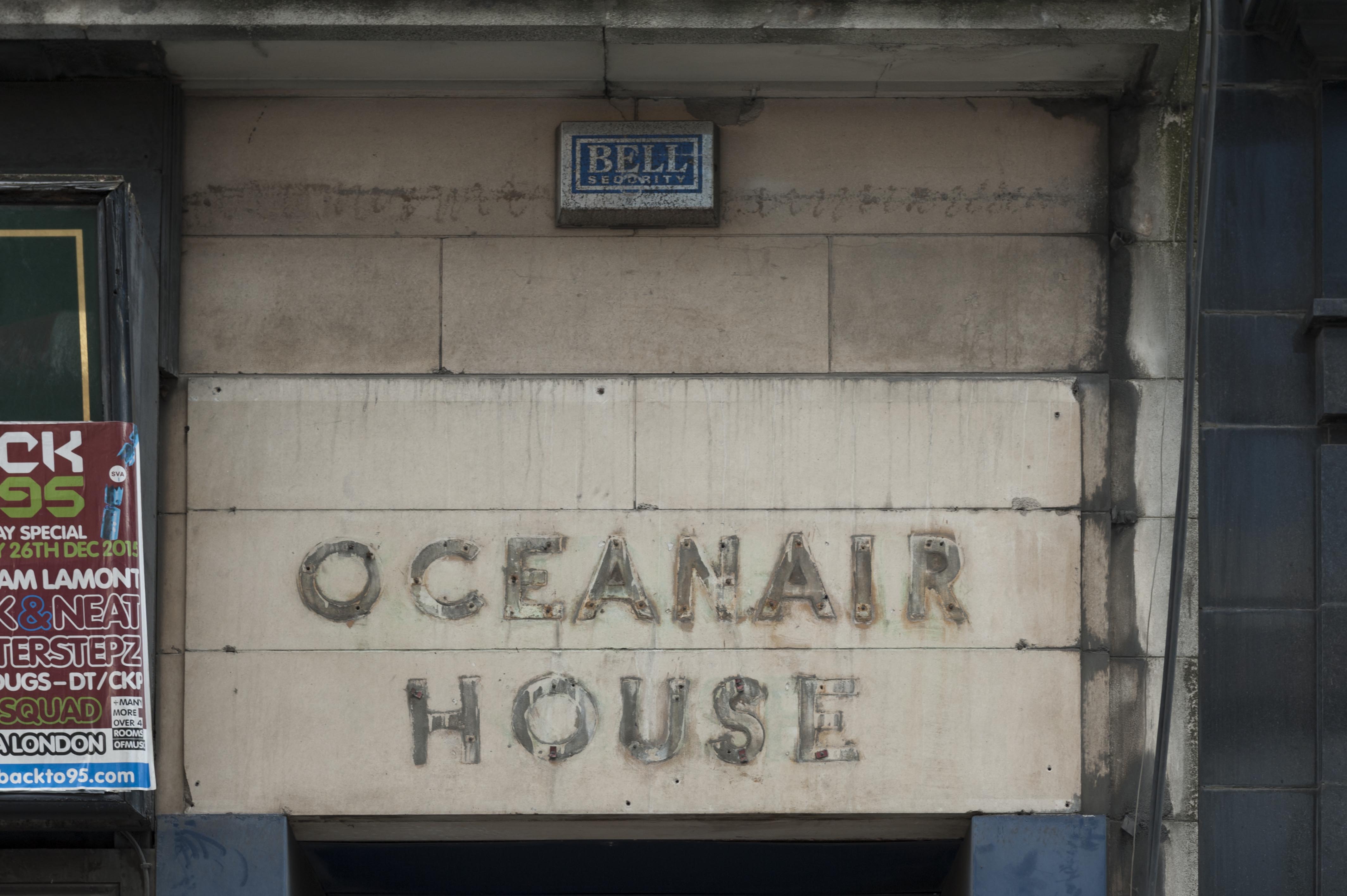
{
"id": 389,
"title": "Oceanair House, detail in 2016",
"author": {
"id": 27,
"username": "DerekKendall"
},
"feature": {
"id": 351,
"type": "Feature",
"geometry": {
"type": "MultiPolygon",
"coordinates": [
[
[
[
-0.073588235846298,
51.51489498850525
],
[
-0.073446258652137,
51.51496358833765
],
[
-0.073581472314101,
51.515072529979086
],
[
-0.07346510291187,
51.515128756556074
],
[
-0.073279292817547,
51.51493636267788
],
[
-0.073219844288517,
51.51484164896286
],
[
-0.07349588362479,
51.51475394088715
],
[
-0.073588235846298,
51.51489498850525
]
]
]
]
},
"properties": {
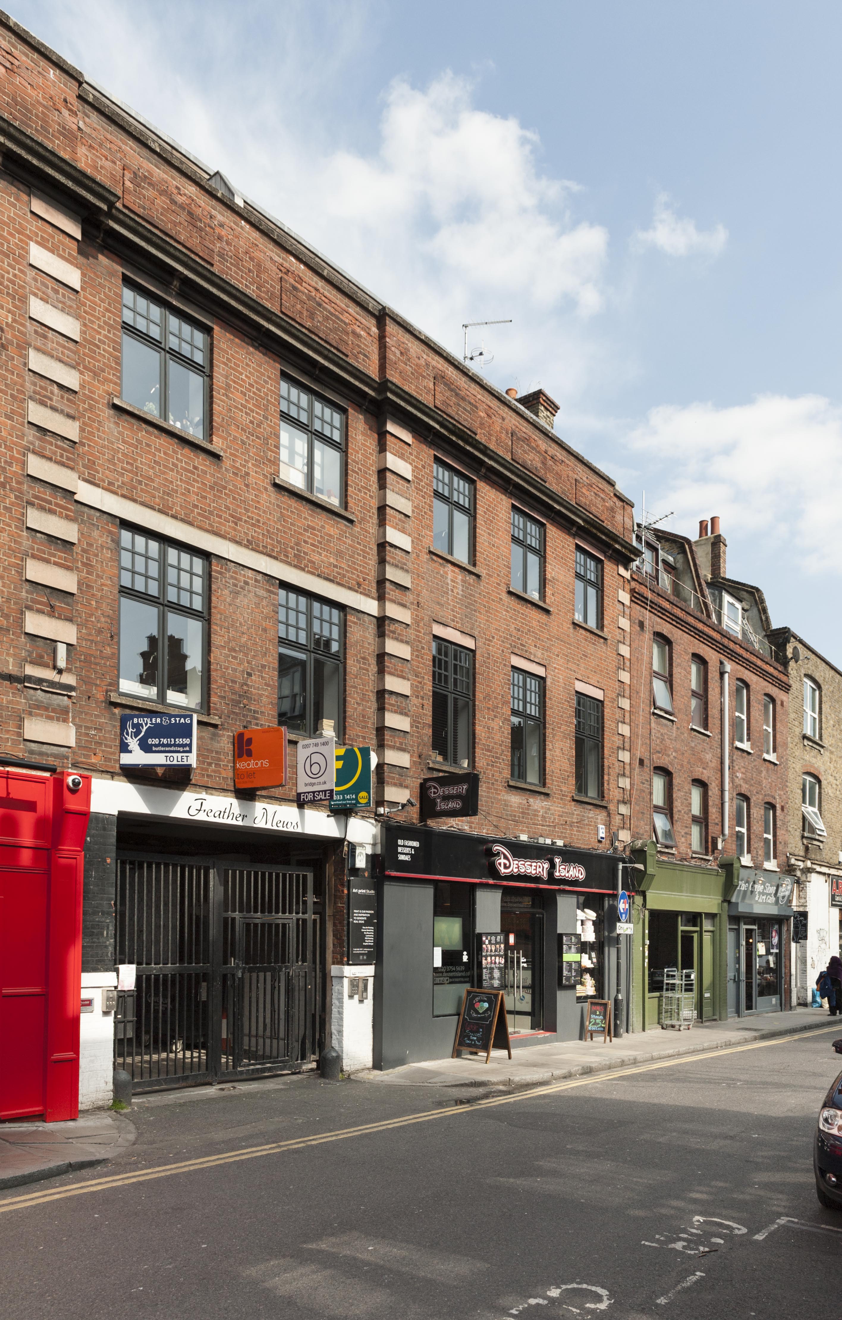
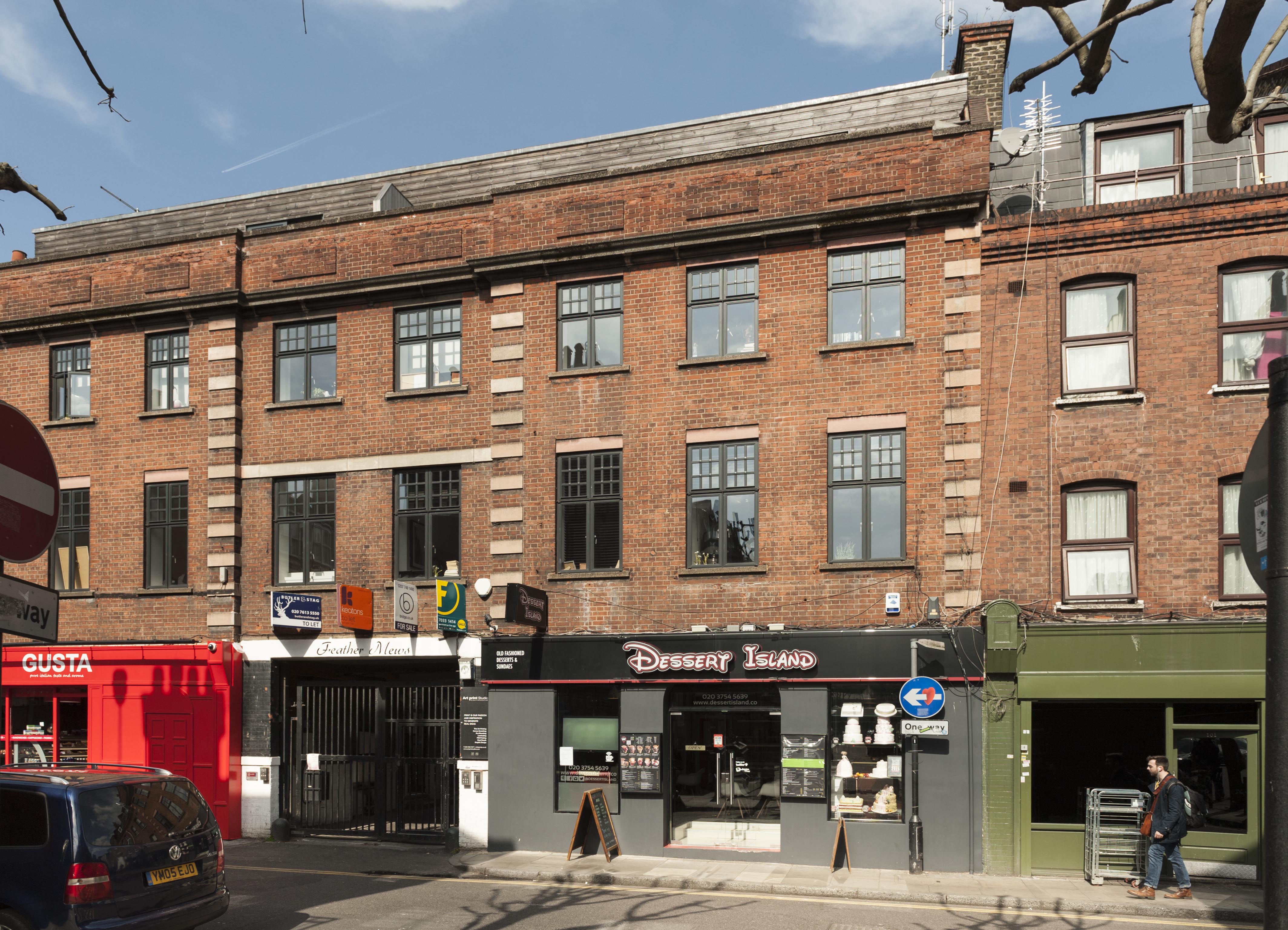
"b_number": "133-137",
"b_name": "Oceanair House, 133-7 Whitechapel High Street, London E1 7PT",
"street": "Whitechapel High Street",
"address": "Oceanair House, 133-7 Whitechapel High Street, London E1 7PE",
"feature_type": "WHITECHAPEL_BUILDING",
"count": 7,
"search_str": "Oceanair House, 133-7 Whitechapel High Street, London E1 7PT"
},
"tags": []
},
"file": "https://surveyoflondon.org/media/uploads/features/351/SoL%20Whitechapel100310.jpg",
"description": "",
"copyright": true,
"created": "2016-09-13"
},
{
"id": 303,
"title": "Drinking Fountain, 1911, W. S. Frith, from south-west",
"author": {
"id": 27,
"username": "DerekKendall"
},
"feature": {
"id": 1698,
"type": "Feature",
"geometry": {
"type": "MultiPolygon",
"coordinates": [
[
[
[
-0.062755898137067,
51.51857235799611
],
[
-0.058216859270041,
51.51960039921044
],
[
-0.058148482851386,
51.51948612756745
],
[
-0.061091729886378,
51.51883423152082
],
[
-0.061616259170046,
51.51871888429734
],
[
-0.06270768344222,
51.51847582817058
],
[
-0.062755898137067,
51.51857235799611
]
]
]
]
},
"properties": {
"b_number": "",
"b_name": "",
"street": "Whitechapel Road",
"address": "Whitechapel Market, Whitechapel Road",
"feature_type": "PLACE",
"count": 48,
"search_str": "Whitechapel Market, Whitechapel Road"
},
"tags": []
},
"file": "https://surveyoflondon.org/media/uploads/features/491/SoL%20Whitechapel100409.jpg",
"description": "",
"copyright": true,
"created": "2016-08-23"
},
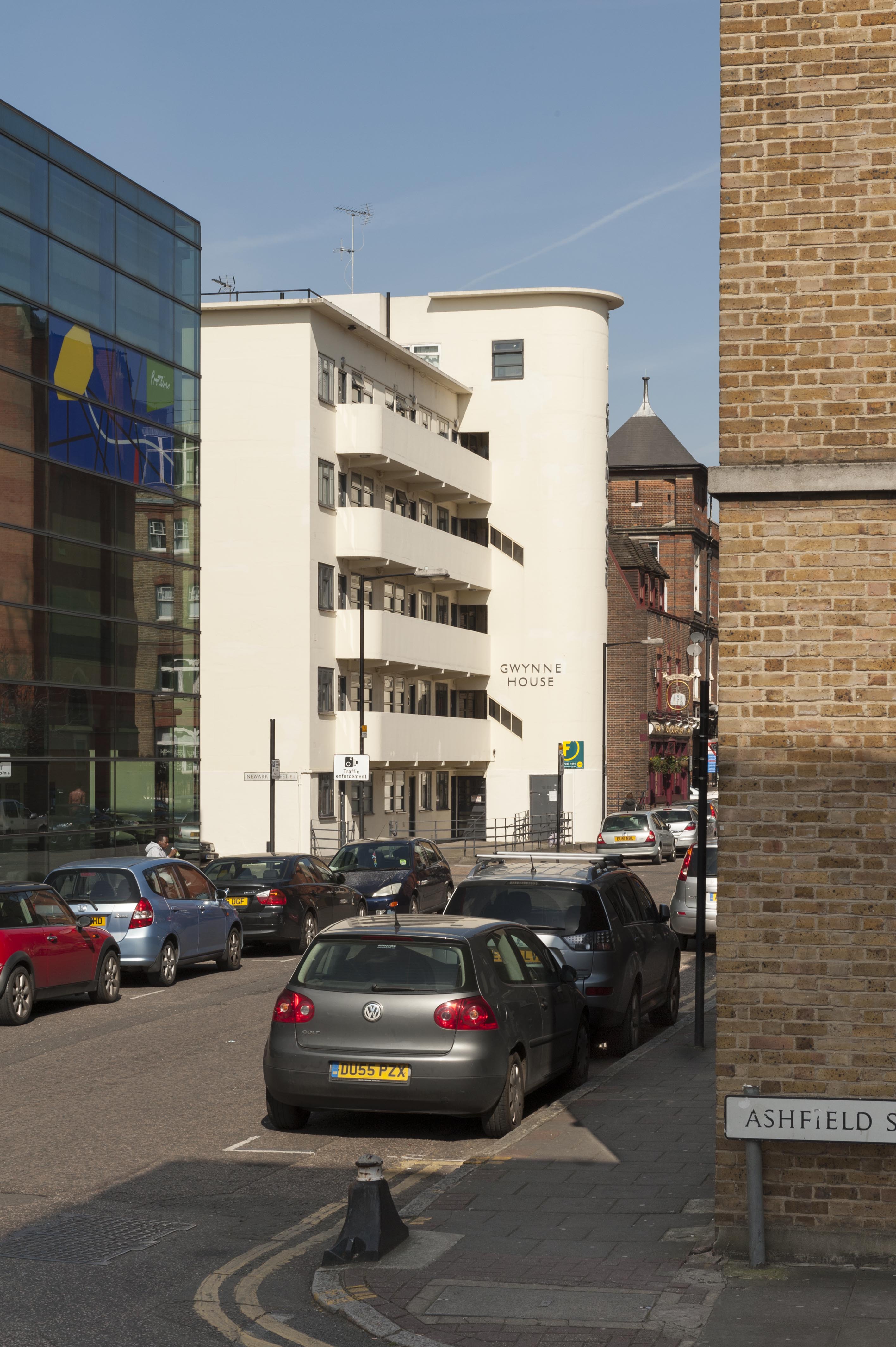
{
"id": 258,
"title": "Gwynne House from the south-east in 2016",
"author": {
"id": 27,
"username": "DerekKendall"
},
"feature": {
"id": 1167,
"type": "Feature",
"geometry": {
"type": "MultiPolygon",
"coordinates": [
[
[
[
-0.061202658412951,
51.51719574435803
],
[
-0.061079306347624,
51.517207329101645
],
[
-0.061069199583201,
51.51716543919934
],
[
-0.06101193415403,
51.517170817215984
],
[
-0.061003155763681,
51.51716934564466
],
[
-0.060996103082444,
51.51716563437471
],
[
-0.060993244898833,
51.51716109482402
],
[
-0.060992481314744,
51.51715643997487
],
[
-0.060993400756275,
51.517151902171804
],
[
-0.06099534354228,
51.51714833843544
],
[
-0.060997956097902,
51.51714503825175
],
[
-0.061004341447847,
51.51714210593221
],
[
-0.061009647790809,
51.517139669120326
],
[
-0.061022544587713,
51.517137757001514
],
[
-0.061059918868378,
51.517132215801325
],
[
-0.061029644233656,
51.516996130234475
],
[
-0.061156522910844,
51.51698514293202
],
[
-0.061202658412951,
51.51719574435803
]
]
]
]
},
"properties": {
"b_number": "",
"b_name": "",
"street": "Turner Street",
"address": "Gwynne House",
"feature_type": "WHITECHAPEL_BUILDING",
"count": 7,
"search_str": "Gwynne House"
},
"tags": []
},
"file": "https://surveyoflondon.org/media/uploads/features/1167/SoL%20Whitechapel100081.jpg",
"description": "",
"copyright": true,
"created": "2016-08-17"
},
{
"id": 259,
"title": "Gwynne House from the south-east in 2016",
"author": {
"id": 27,
"username": "DerekKendall"
},
"feature": {
"id": 1167,
"type": "Feature",
"geometry": {
"type": "MultiPolygon",
"coordinates": [
[
[
[
-0.061202658412951,
51.51719574435803
],
[
-0.061079306347624,
51.517207329101645
],
[
-0.061069199583201,
51.51716543919934
],
[
-0.06101193415403,
51.517170817215984
],
[
-0.061003155763681,
51.51716934564466
],
[
-0.060996103082444,
51.51716563437471
],
[
-0.060993244898833,
51.51716109482402
],
[
-0.060992481314744,
51.51715643997487
],
[
-0.060993400756275,
51.517151902171804
],
[
-0.06099534354228,
51.51714833843544
],
[
-0.060997956097902,
51.51714503825175
],
[
-0.061004341447847,
51.51714210593221
],
[
-0.061009647790809,
51.517139669120326
],
[
-0.061022544587713,
51.517137757001514
],
[
-0.061059918868378,
51.517132215801325
],
[
-0.061029644233656,
51.516996130234475
],
[
-0.061156522910844,
51.51698514293202
],
[
-0.061202658412951,
51.51719574435803
]
]
]
]
},
"properties": {
"b_number": "",
"b_name": "",
"street": "Turner Street",
"address": "Gwynne House",
"feature_type": "WHITECHAPEL_BUILDING",
"count": 7,
"search_str": "Gwynne House"
},
"tags": []
},
"file": "https://surveyoflondon.org/media/uploads/features/1167/SoL%20Whitechapel100098.jpg",
"description": "",
"copyright": true,
"created": "2016-08-17"
},
{
"id": 370,
"title": "Aldgate Place in 2016",
"author": {
"id": 27,
"username": "DerekKendall"
},
"feature": {
"id": 1438,
"type": "Feature",
"geometry": {
"type": "MultiPolygon",
"coordinates": [
[
[
[
-0.071379462569742,
51.5150227354599
],
[
-0.07105242614526,
51.5149945111266
],
[
-0.07106215368906,
51.51494630737948
],
[
-0.071319399097292,
51.5148727628678
],
[
-0.071379462569742,
51.5150227354599
]
]
]
]
},
"properties": {
"b_number": "",
"b_name": "Wiverton Tower, Aldgate Place",
"street": "Leman Street",
"address": "Wiverton Tower, Aldgate Place, Leman Street",
"feature_type": "WHITECHAPEL_BUILDING",
"count": 2,
"search_str": "Wiverton Tower, Aldgate Place"
},
"tags": []
},
"file": "https://surveyoflondon.org/media/uploads/features/1438/SoL%20Whitechapel100376.jpg",
"description": "",
"copyright": true,
"created": "2016-09-06"
},
{
"id": 343,
"title": "91-99 Fieldgate Street from the south-west in 2016",
"author": {
"id": 27,
"username": "DerekKendall"
},
"feature": {
"id": 952,
"type": "Feature",
"geometry": {
"type": "MultiPolygon",
"coordinates": [
[
[
[
-0.063224838574926,
51.51742703674588
],
[
-0.063322040829257,
51.51741667230535
],
[
-0.063298653433,
51.517330887563304
],
[
-0.063354491307214,
51.51732433241702
],
[
-0.063387346046494,
51.51744390621123
],
[
-0.063136511461646,
51.51747453253069
],
[
-0.063051216005064,
51.51721239716419
],
[
-0.063317432155636,
51.51717857581876
],
[
-0.063335052798611,
51.51724787921287
],
[
-0.063297767815742,
51.51725206585034
],
[
-0.063309366109842,
51.51730503436188
],
[
-0.063250182506436,
51.51731152124056
],
[
-0.063233216369447,
51.51724035484846
],
[
-0.063166066284679,
51.517248516423805
],
[
-0.063224838574926,
51.51742703674588
]
]
]
]
},
"properties": {
"b_number": "91-99",
"b_name": "",
"street": "Fieldgate Street",
"address": "91-99 Fieldgate Street, including Feather Mews",
"feature_type": "WHITECHAPEL_BUILDING",
"count": 5,
"search_str": "91-99 Fieldgate Street, including Feather Mews"
},
"tags": [
"Eva Pepper",
"Rowland Plumbe"
]
},
"file": "https://surveyoflondon.org/media/uploads/features/952/SoL%20Whitechapel100172.jpg",
"description": "",
"copyright": true,
"created": "2016-09-02"
},
{
"id": 344,
"title": "91-99 Fieldgate Street in 2016",
"author": {
"id": 27,
"username": "DerekKendall"
},
"feature": {
"id": 952,
"type": "Feature",
"geometry": {
"type": "MultiPolygon",
"coordinates": [
[
[
[
-0.063224838574926,
51.51742703674588
],
[
-0.063322040829257,
51.51741667230535
],
[
-0.063298653433,
51.517330887563304
],
[
-0.063354491307214,
51.51732433241702
],
[
-0.063387346046494,
51.51744390621123
],
[
-0.063136511461646,
51.51747453253069
],
[
-0.063051216005064,
51.51721239716419
],
[
-0.063317432155636,
51.51717857581876
],
[
-0.063335052798611,
51.51724787921287
],
[
-0.063297767815742,
51.51725206585034
],
[
-0.063309366109842,
51.51730503436188
],
[
-0.063250182506436,
51.51731152124056
],
[
-0.063233216369447,
51.51724035484846
],
[
-0.063166066284679,
51.517248516423805
],
[
-0.063224838574926,
51.51742703674588
]
]
]
]
},
"properties": {
"b_number": "91-99",
"b_name": "",
"street": "Fieldgate Street",
"address": "91-99 Fieldgate Street, including Feather Mews",
"feature_type": "WHITECHAPEL_BUILDING",
"count": 5,
"search_str": "91-99 Fieldgate Street, including Feather Mews"
},
"tags": [
"Eva Pepper",
"Rowland Plumbe"
]
},
"file": "https://surveyoflondon.org/media/uploads/features/952/SoL%20Whitechapel100170.jpg",
"description": "",
"copyright": true,
"created": "2016-09-02"
},
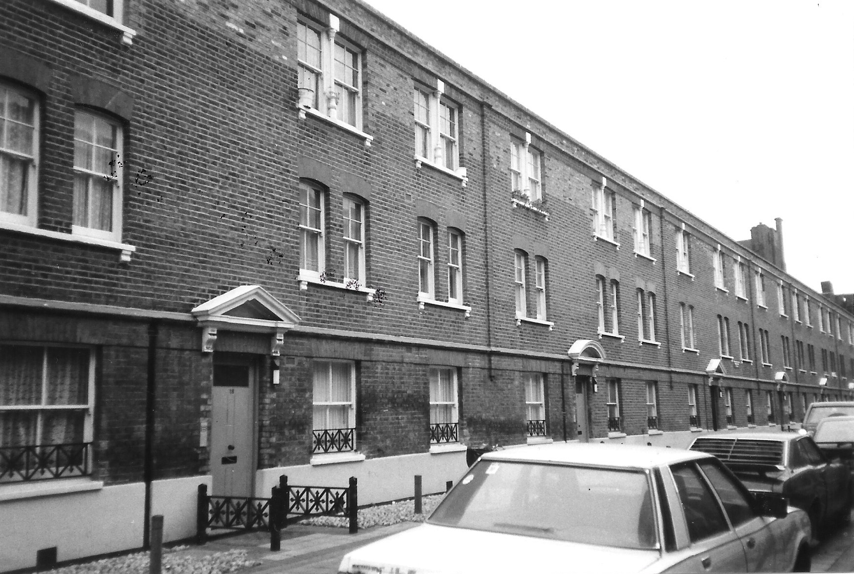
{
"id": 490,
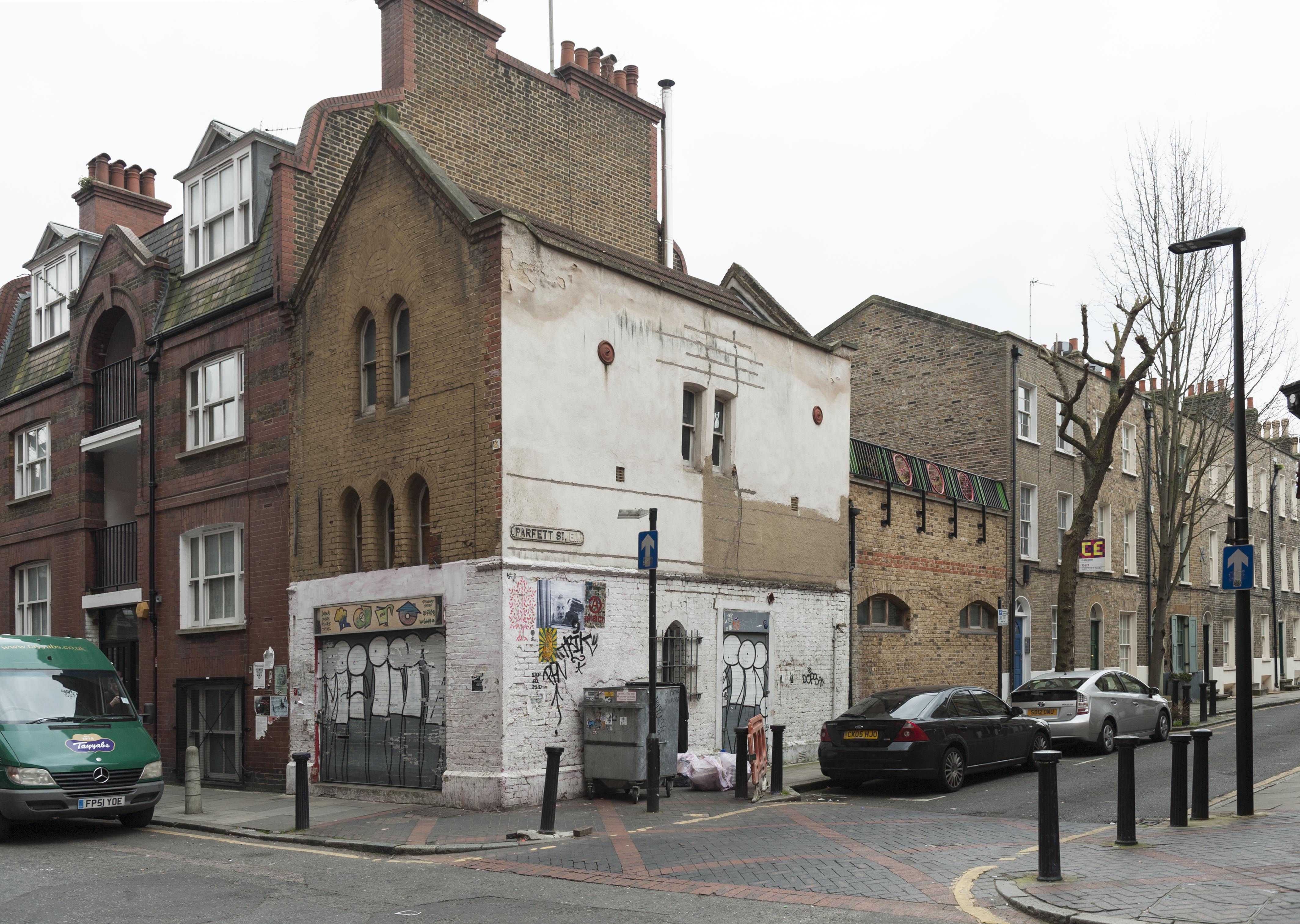
"title": "Parfett Street south east side",
"author": {
"id": 21,
"username": "IsobelWatson"
},
"feature": {
"id": 904,
"type": "Feature",
"geometry": {
"type": "MultiPolygon",
"coordinates": [
[
[
[
-0.06355625922785,
51.515637789287936
],
[
-0.063718307669986,
51.51562905384588
],
[
-0.063731056246033,
51.515740533611975
],
[
-0.063568653661524,
51.51575083891446
],
[
-0.063566370232488,
51.51572810147613
],
[
-0.063597536771938,
51.51572712229293
],
[
-0.063592885095052,
51.51569567530411
],
[
-0.06357120665311,
51.515697335192556
],
[
-0.063569814383632,
51.51567512780699
],
[
-0.063589018123374,
51.51567395108956
],
[
-0.063585151155954,
51.51565222687516
],
[
-0.063557918580945,
51.51565426160003
],
[
-0.06355625922785,
51.515637789287936
]
]
]
]
},
"properties": {
"b_number": "18",
"b_name": "",
"street": "Parfett Street",
"address": "18 Parfett Street",
"feature_type": "WHITECHAPEL_BUILDING",
"count": 1,
"search_str": "18 Parfett Street"
},
"tags": []
},
"file": "https://surveyoflondon.org/media/uploads/features/904/Parfett%20St%20SE%20side%201992.jpg",
"description": "These buildings (photographed March 1992) appear to represent the sole occasion on which the London Hospital acted as developer on its own account (with Stimpsons as contractors), as opposed to letting a site on building lease, having sought the Charity Commission's permission to do so (1890/1891, LH/A/9/41). When first let in 1893, there was difficulty finding tenants at the rents set, and they didn't stay, which the Hospital attributed to (e.g.) noisy floors. ",
"copyright": false,
"created": "2017-01-23"
},
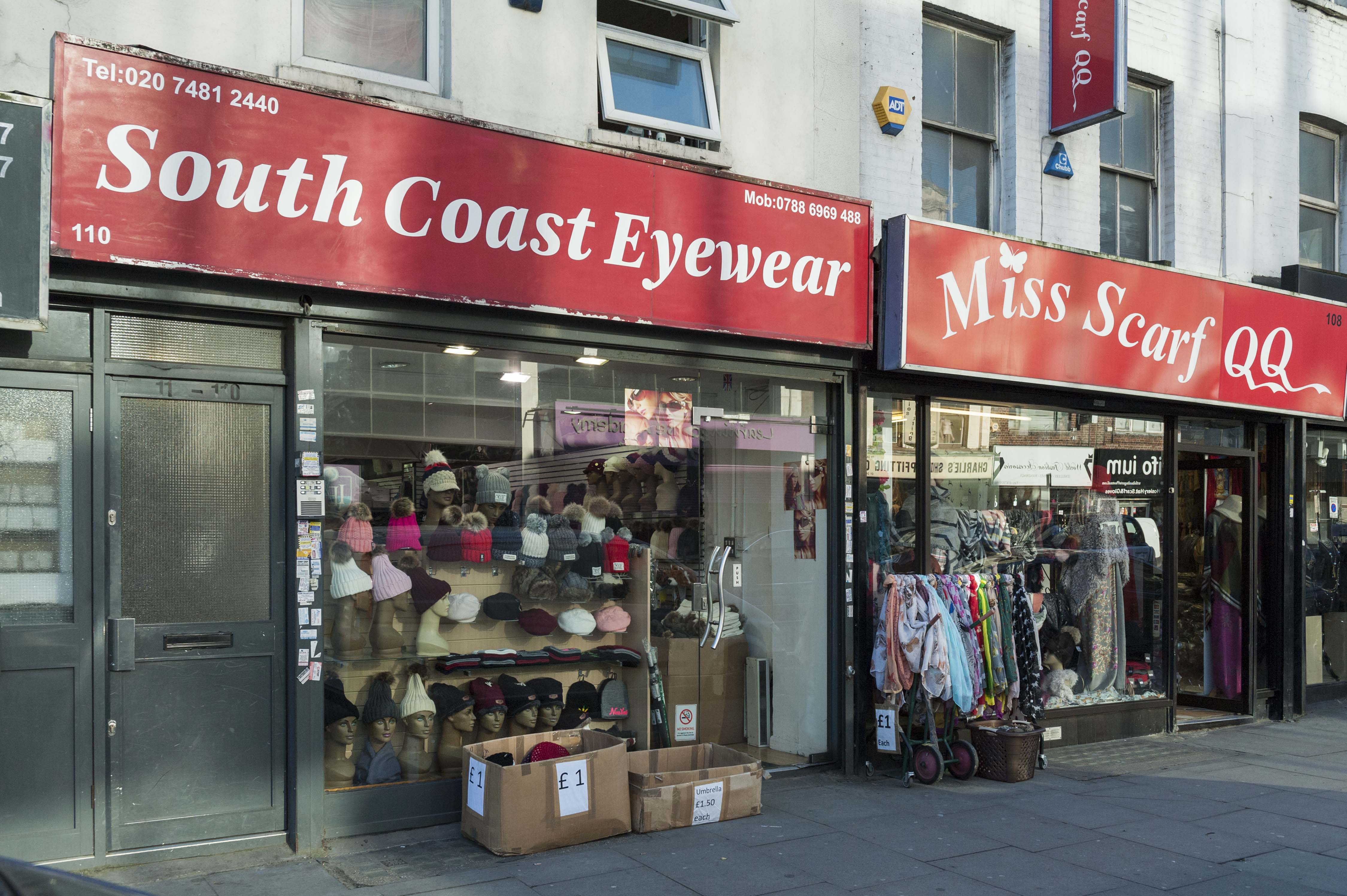
{
"id": 544,
"title": "108-110 Commercial Road",
"author": {
"id": 27,
"username": "DerekKendall"
},
"feature": {
"id": 1677,
"type": "Feature",
"geometry": {
"type": "MultiPolygon",
"coordinates": [
[
[
[
-0.064373520832807,
51.51444274267201
],
[
-0.064383438741386,
51.51432779878377
],
[
-0.064659060773242,
51.51433684420214
],
[
-0.064649844646593,
51.51445224933018
],
[
-0.064704563789779,
51.514453422156805
],
[
-0.064688160328819,
51.51432698274314
],
[
-0.064777322380408,
51.514321439796696
],
[
-0.064808610137748,
51.514555768395205
],
[
-0.064805304576031,
51.5146473502722
],
[
-0.064246143620464,
51.51464252805808
],
[
-0.064254697935186,
51.51444078134071
],
[
-0.064373520832807,
51.51444274267201
]
],
[
[
-0.064394074262927,
51.51451547380407
],
[
-0.064392960957287,
51.51454513160339
],
[
-0.064527934333037,
51.5145469097105
],
[
-0.064528903523085,
51.51451724953188
],
[
-0.064394074262927,
51.51451547380407
]
]
]
]
},
"properties": {
"b_number": "",
"b_name": "",
"street": "",
"address": "Greater Whitechapel",
"feature_type": "GREATER_WHITECHAPEL",
"count": 2,
"search_str": "Greater Whitechapel"
},
"tags": []
},
"file": "https://surveyoflondon.org/media/uploads/features/1677/SoL%20Whitechapel%20100446.jpg",
"description": "South Coast Eyewear and Miss Scarf QQ in early 2017",
"copyright": true,
"created": "2017-04-10"
},
{
"id": 545,
"title": "Display detail of South Coast Eyewear, 110 Commercial Road",
"author": {
"id": 27,
"username": "DerekKendall"
},
"feature": {
"id": 1677,
"type": "Feature",
"geometry": {
"type": "MultiPolygon",
"coordinates": [
[
[
[
-0.064373520832807,
51.51444274267201
],
[
-0.064383438741386,
51.51432779878377
],
[
-0.064659060773242,
51.51433684420214
],
[
-0.064649844646593,
51.51445224933018
],
[
-0.064704563789779,
51.514453422156805
],
[
-0.064688160328819,
51.51432698274314
],
[
-0.064777322380408,
51.514321439796696
],
[
-0.064808610137748,
51.514555768395205
],
[
-0.064805304576031,
51.5146473502722
],
[
-0.064246143620464,
51.51464252805808
],
[
-0.064254697935186,
51.51444078134071
],
[
-0.064373520832807,
51.51444274267201
]
],
[
[
-0.064394074262927,
51.51451547380407
],
[
-0.064392960957287,
51.51454513160339
],
[
-0.064527934333037,
51.5145469097105
],
[
-0.064528903523085,
51.51451724953188
],
[
-0.064394074262927,
51.51451547380407
]
]
]
]
},
"properties": {
"b_number": "",
"b_name": "",
"street": "",
"address": "Greater Whitechapel",
"feature_type": "GREATER_WHITECHAPEL",
"count": 2,
"search_str": "Greater Whitechapel"
},
"tags": []
},
"file": "https://surveyoflondon.org/media/uploads/features/1677/SoL%20Whitechapel%20100447.jpg",
"description": "",
"copyright": true,
"created": "2017-04-10"
},
{
"id": 442,
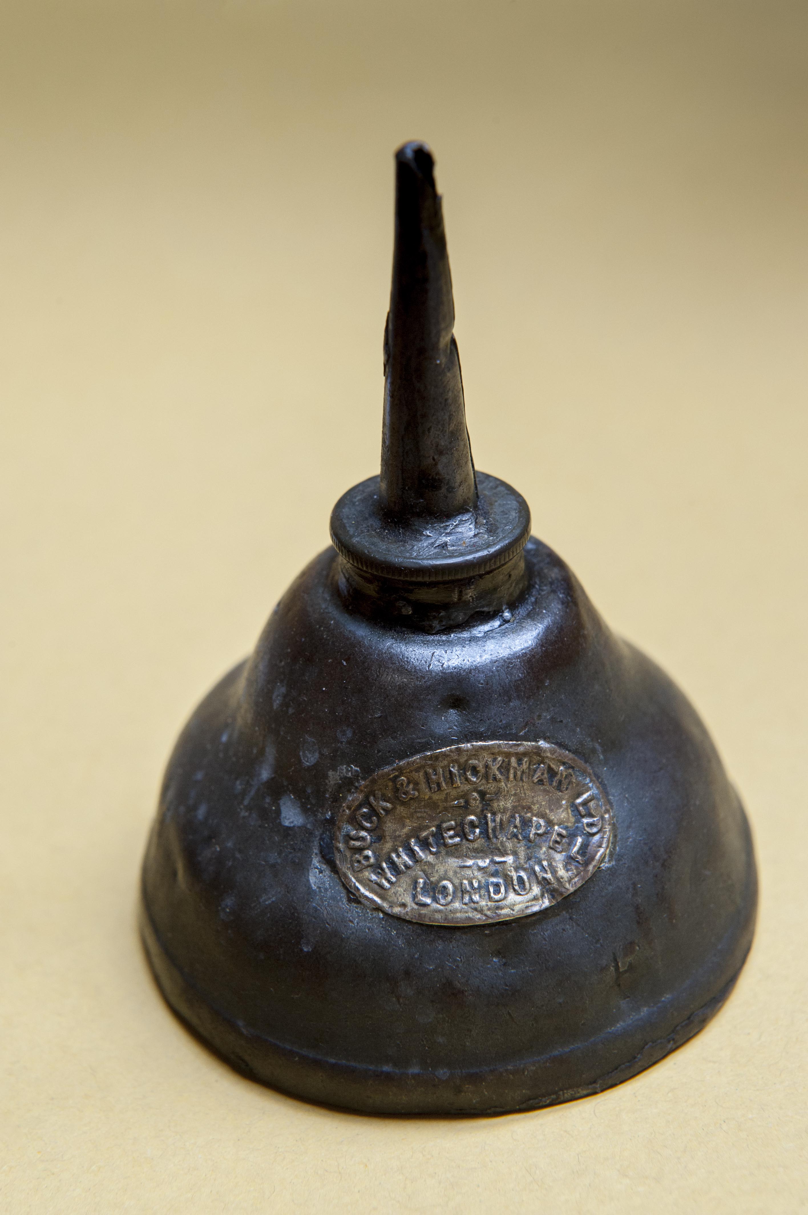
"title": "Buck & Hickman oil can",
"author": {
"id": 27,
"username": "DerekKendall"
},
"feature": {
"id": 145,
"type": "Feature",
"geometry": {
"type": "MultiPolygon",
"coordinates": [
[
[
[
-0.067438878078407,
51.51626048776608
],
[
-0.067736964788515,
51.51614633139776
],
[
-0.067736975376783,
51.51614633297866
],
[
-0.068162873880285,
51.516578971968116
],
[
-0.068015152398359,
51.5166409265401
],
[
-0.067898951070216,
51.516535567083395
],
[
-0.067749868829072,
51.51660024858242
],
[
-0.067727076343935,
51.516580194496996
],
[
-0.067678054021065,
51.51659801606037
],
[
-0.067602032053382,
51.516516614054154
],
[
-0.067658800891649,
51.51649597633206
],
[
-0.067438878078407,
51.51626048776608
]
]
]
]
},
"properties": {
"b_number": "2",
"b_name": "",
"street": "Whitechapel Road",
"address": "2 Whitechapel Road with 40 Adler Street",
"feature_type": "WHITECHAPEL_BUILDING",
"count": 7,
"search_str": "2 Whitechapel Road with 40 Adler Street"
},
"tags": [
"Buck & Hickman"
]
},
"file": "https://surveyoflondon.org/media/uploads/features/145/Buck%20%26%20Hickman%20oil%20can%2001.jpg",
"description": "",
"copyright": true,
"created": "2016-11-10"
},
{
"id": 296,
"title": "62 Fieldgate Street in 2016",
"author": {
"id": 27,
"username": "DerekKendall"
},
"feature": {
"id": 772,
"type": "Feature",
"geometry": {
"type": "MultiPolygon",
"coordinates": [
[
[
[
-0.063967783353312,
51.516999443880245
],
[
-0.063903334345823,
51.51700882842304
],
[
-0.063890957027578,
51.516927618452264
],
[
-0.063838321235722,
51.51693399544056
],
[
-0.063824313187807,
51.51688177295215
],
[
-0.063925986512683,
51.51686990389643
],
[
-0.063967783353312,
51.516999443880245
]
]
]
]
},
"properties": {
"b_number": "62",
"b_name": "",
"street": "Fieldgate Street",
"address": "London Action Resource Centre, 62 Fieldgate Street",
"feature_type": "WHITECHAPEL_BUILDING",
"count": 5,
"search_str": "London Action Resource Centre, 62 Fieldgate Street"
},
"tags": [
"chapel",
"school",
"synagogue"
]
},
"file": "https://surveyoflondon.org/media/uploads/features/772/SoL%20Whitechapel100435_aSY4T1r.jpg",
"description": "",
"copyright": true,
"created": "2016-08-19"
},
{
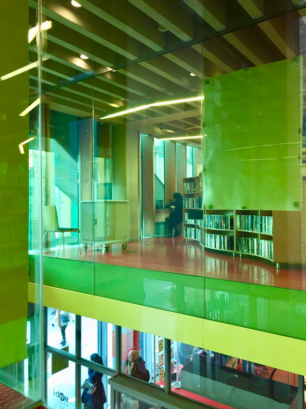
"id": 1106,
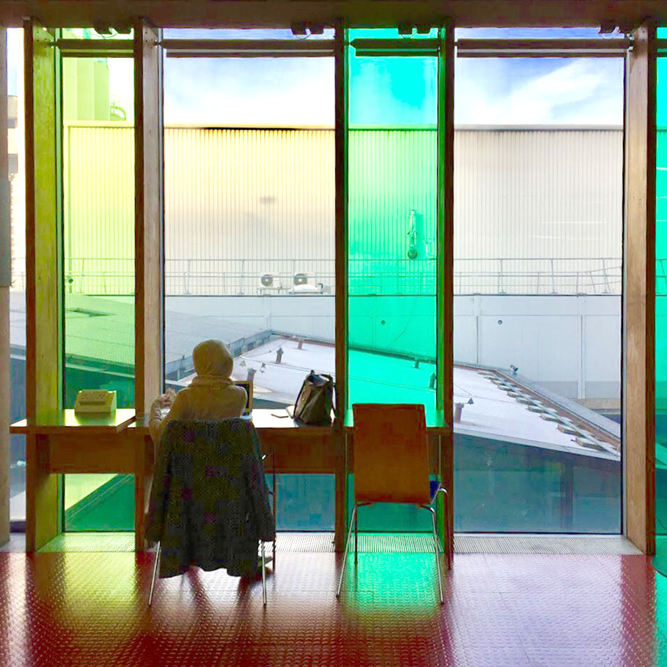
"title": "Inside Idea Store ",
"author": {
"id": 209,
"username": "f.ciufo"
},
"feature": {
"id": 518,
"type": "Feature",
"geometry": {
"type": "MultiPolygon",
"coordinates": [
[
[
[
-0.058265578249493,
51.51997368190386
],
[
-0.057870681883353,
51.520069776330836
],
[
-0.057795852846717,
51.519925640296286
],
[
-0.057754684632276,
51.51993713160212
],
[
-0.057648441439835,
51.519761149535064
],
[
-0.05807295251591,
51.51962908276924
],
[
-0.058265578249493,
51.51997368190386
]
]
]
]
},
"properties": {
"b_number": "321",
"b_name": "Whitechapel Idea Store",
"street": "Whitechapel Road",
"address": "Whitechapel Idea Store, 321 Whitechapel Road",
"feature_type": "WHITECHAPEL_BUILDING",
"count": 15,
"search_str": "Whitechapel Idea Store"
},
"tags": [
"David Adjaye",
"James Edmeston",
"John Samuel Hayward"
]
},
"file": "https://surveyoflondon.org/media/uploads/features/518/IMG_8515.jpg",
"description": "",
"copyright": true,
"created": "2018-01-27"
},
{
"id": 1107,
"title": "Inside Idea Store ",
"author": {
"id": 209,
"username": "f.ciufo"
},
"feature": {
"id": 518,
"type": "Feature",
"geometry": {
"type": "MultiPolygon",
"coordinates": [
[
[
[
-0.058265578249493,
51.51997368190386
],
[
-0.057870681883353,
51.520069776330836
],
[
-0.057795852846717,
51.519925640296286
],
[
-0.057754684632276,
51.51993713160212
],
[
-0.057648441439835,
51.519761149535064
],
[
-0.05807295251591,
51.51962908276924
],
[
-0.058265578249493,
51.51997368190386
]
]
]
]
},
"properties": {
"b_number": "321",
"b_name": "Whitechapel Idea Store",
"street": "Whitechapel Road",
"address": "Whitechapel Idea Store, 321 Whitechapel Road",
"feature_type": "WHITECHAPEL_BUILDING",
"count": 15,
"search_str": "Whitechapel Idea Store"
},
"tags": [
"David Adjaye",
"James Edmeston",
"John Samuel Hayward"
]
},
"file": "https://surveyoflondon.org/media/uploads/features/518/IMG_8516.jpg",
"description": "",
"copyright": true,
"created": "2018-01-27"
},
{
"id": 1307,
"title": "Guinea Court, 65 Royal Mint Street in 2018",
"author": {
"id": 27,
"username": "DerekKendall"
},
"feature": {
"id": 1355,
"type": "Feature",
"geometry": {
"type": "MultiPolygon",
"coordinates": [
[
[
[
-0.069021887283004,
51.51067095075817
],
[
-0.068911333158757,
51.51068540904317
],
[
-0.06887121360957,
51.510578645708144
],
[
-0.068919922577914,
51.51057043614709
],
[
-0.068926683116691,
51.51058682627254
],
[
-0.068971669187029,
51.51058059044507
],
[
-0.069021887283004,
51.51067095075817
]
]
]
]
},
"properties": {
"b_number": "65",
"b_name": "Guinea Court",
"street": "Royal Mint Street",
"address": "Guinea Court, 65 Royal Mint Street",
"feature_type": "WHITECHAPEL_BUILDING",
"count": 3,
"search_str": "Guinea Court"
},
"tags": []
},
"file": "https://surveyoflondon.org/media/uploads/features/1355/SoL%20Whitechapel%20102053.jpg",
"description": "",
"copyright": true,
"created": "2018-08-13"
},
{
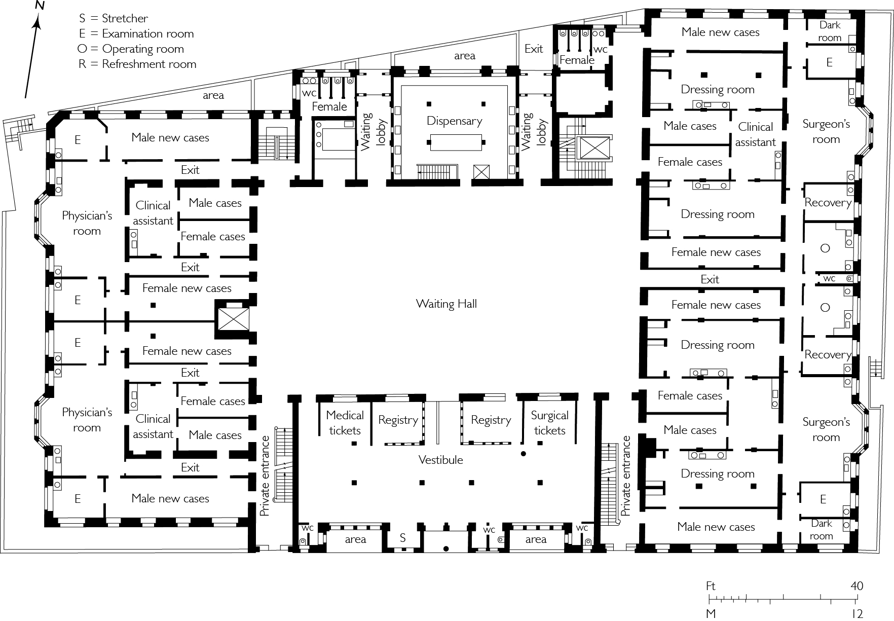
"id": 523,
"title": "Ground plan of the Outpatients Department, 1903",
"author": {
"id": 2,
"username": "surveyoflondon"
},
"feature": {
"id": 1188,
"type": "Feature",
"geometry": {
"type": "MultiPolygon",
"coordinates": [
[
[
[
-0.062135521845015,
51.51764176709899
],
[
-0.061842202698012,
51.517670085745486
],
[
-0.061848902036134,
51.51769938896618
],
[
-0.061550919793822,
51.51772590607731
],
[
-0.061559977080333,
51.51776552415219
],
[
-0.061447064288193,
51.51777557192973
],
[
-0.061449635978695,
51.51778682104097
],
[
-0.06118390946889,
51.51781046681395
],
[
-0.061173470769467,
51.517768252329546
],
[
-0.0611656045837,
51.517762055237526
],
[
-0.061159583649328,
51.517735562574764
],
[
-0.061165991378992,
51.51772693239806
],
[
-0.061115835114599,
51.517494904849876
],
[
-0.061108055251476,
51.51749055594055
],
[
-0.061100533853466,
51.51745850319045
],
[
-0.061102936626612,
51.5174532736114
],
[
-0.061094280097356,
51.517413095299034
],
[
-0.061827243127089,
51.517348112870636
],
[
-0.061830552360161,
51.517362587728314
],
[
-0.062066885754417,
51.51734155598123
],
[
-0.062135521845015,
51.51764176709899
]
]
]
]
},
"properties": {
"b_number": "",
"b_name": "",
"street": "Stepney Way",
"address": "Outpatients Department",
"feature_type": "WHITECHAPEL_BUILDING",
"count": 9,
"search_str": "Outpatients Department"
},
"tags": []
},
"file": "https://surveyoflondon.org/media/uploads/features/1188/Outpatients%20Department.jpg",
"description": "Ground plan of the Outpatients Department, redrawn by Helen Jones from a plan printed in 'The Lancet', June 1903. ",
"copyright": false,
"created": "2017-03-14"
}
]
}