HTTP 200 OK
Allow: GET, HEAD, OPTIONS
Content-Type: application/json
Vary: Accept
{
"count": 1747,
"next": "https://surveyoflondon.org/api/v1/images/?format=api&page=27",
"previous": "https://surveyoflondon.org/api/v1/images/?format=api&page=25",
"results": [
{
"id": 342,
"title": "91-99 Fieldgate Street from the south-east in 2016",
"author": {
"id": 27,
"username": "DerekKendall"
},
"feature": {
"id": 952,
"type": "Feature",
"geometry": {
"type": "MultiPolygon",
"coordinates": [
[
[
[
-0.063224838574926,
51.51742703674588
],
[
-0.063322040829257,
51.51741667230535
],
[
-0.063298653433,
51.517330887563304
],
[
-0.063354491307214,
51.51732433241702
],
[
-0.063387346046494,
51.51744390621123
],
[
-0.063136511461646,
51.51747453253069
],
[
-0.063051216005064,
51.51721239716419
],
[
-0.063317432155636,
51.51717857581876
],
[
-0.063335052798611,
51.51724787921287
],
[
-0.063297767815742,
51.51725206585034
],
[
-0.063309366109842,
51.51730503436188
],
[
-0.063250182506436,
51.51731152124056
],
[
-0.063233216369447,
51.51724035484846
],
[
-0.063166066284679,
51.517248516423805
],
[
-0.063224838574926,
51.51742703674588
]
]
]
]
},
"properties": {
"b_number": "91-99",
"b_name": "",
"street": "Fieldgate Street",
"address": "91-99 Fieldgate Street, including Feather Mews",
"feature_type": "WHITECHAPEL_BUILDING",
"count": 5,
"search_str": "91-99 Fieldgate Street, including Feather Mews"
},
"tags": [
"Eva Pepper",
"Rowland Plumbe"
]
},
"file": "https://surveyoflondon.org/media/uploads/features/952/SoL%20Whitechapel100169.jpg",
"description": "",
"copyright": true,
"created": "2016-09-02"
},
{
"id": 341,
"title": "101-107 Fieldgate Street in 2016",
"author": {
"id": 27,
"username": "DerekKendall"
},
"feature": {
"id": 844,
"type": "Feature",
"geometry": {
"type": "MultiPolygon",
"coordinates": [
[
[
[
-0.063095641072265,
51.5173487514075
],
[
-0.063022951558513,
51.5173571037587
],
[
-0.062980086312413,
51.517221828797915
],
[
-0.063051136957873,
51.51721218718165
],
[
-0.063095641072265,
51.5173487514075
]
]
]
]
},
"properties": {
"b_number": "101",
"b_name": "",
"street": "Fieldgate Street",
"address": "101 Fieldgate Street",
"feature_type": "WHITECHAPEL_BUILDING",
"count": 2,
"search_str": "101 Fieldgate Street"
},
"tags": []
},
"file": "https://surveyoflondon.org/media/uploads/features/844/SoL%20Whitechapel100171.jpg",
"description": "",
"copyright": true,
"created": "2016-09-02"
},
{
"id": 340,
"title": "101-107 Fieldgate Street in 2016",
"author": {
"id": 27,
"username": "DerekKendall"
},
"feature": {
"id": 845,
"type": "Feature",
"geometry": {
"type": "MultiPolygon",
"coordinates": [
[
[
[
-0.063022951558513,
51.5173571037587
],
[
-0.062957276892637,
51.51736463688288
],
[
-0.062913858137531,
51.517230811258656
],
[
-0.062980075075632,
51.51722182556448
],
[
-0.063022951558513,
51.5173571037587
]
]
]
]
},
"properties": {
"b_number": "103",
"b_name": "",
"street": "Fieldgate Street",
"address": "103 Fieldgate Street",
"feature_type": "WHITECHAPEL_BUILDING",
"count": 2,
"search_str": "103 Fieldgate Street"
},
"tags": []
},
"file": "https://surveyoflondon.org/media/uploads/features/845/SoL%20Whitechapel100171.jpg",
"description": "",
"copyright": true,
"created": "2016-09-02"
},
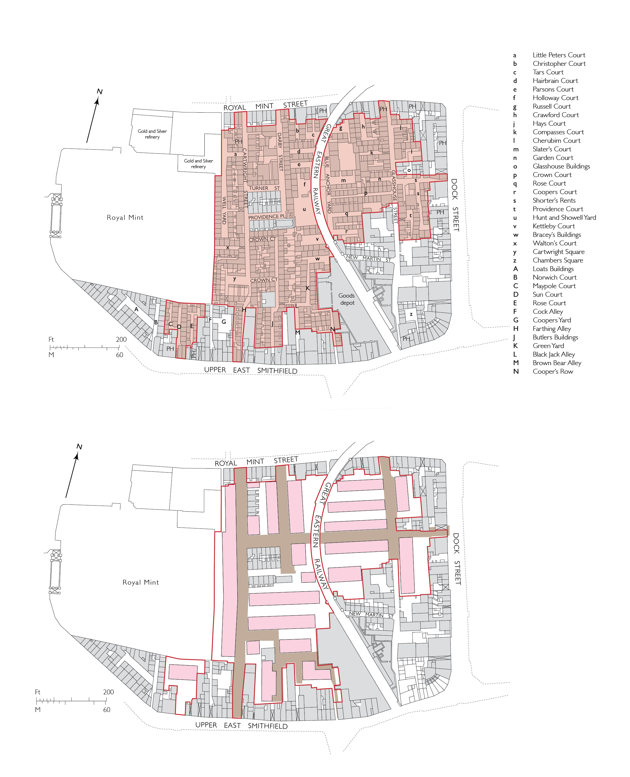
{
"id": 1305,
"title": "61 Royal Mint Street in 2018",
"author": {
"id": 27,
"username": "DerekKendall"
},
"feature": {
"id": 1354,
"type": "Feature",
"geometry": {
"type": "MultiPolygon",
"coordinates": [
[
[
[
-0.069125899290664,
51.510656966033906
],
[
-0.069021887283004,
51.51067095075817
],
[
-0.068971669187029,
51.51058059044507
],
[
-0.068995538159332,
51.51054493759035
],
[
-0.069055863491195,
51.51052848937993
],
[
-0.069125899290664,
51.510656966033906
]
]
]
]
},
"properties": {
"b_number": "61",
"b_name": "",
"street": "Royal Mint Street",
"address": "61 Royal Mint Street (formerly the City of Carlisle public house)",
"feature_type": "WHITECHAPEL_BUILDING",
"count": 3,
"search_str": "61 Royal Mint Street (formerly the City of Carlisle public house)"
},
"tags": [
"Blue Peter",
"City of Carlisle"
]
},
"file": "https://surveyoflondon.org/media/uploads/features/1354/SoL%20Whitechapel%20102051.jpg",
"description": "",
"copyright": true,
"created": "2018-08-13"
},
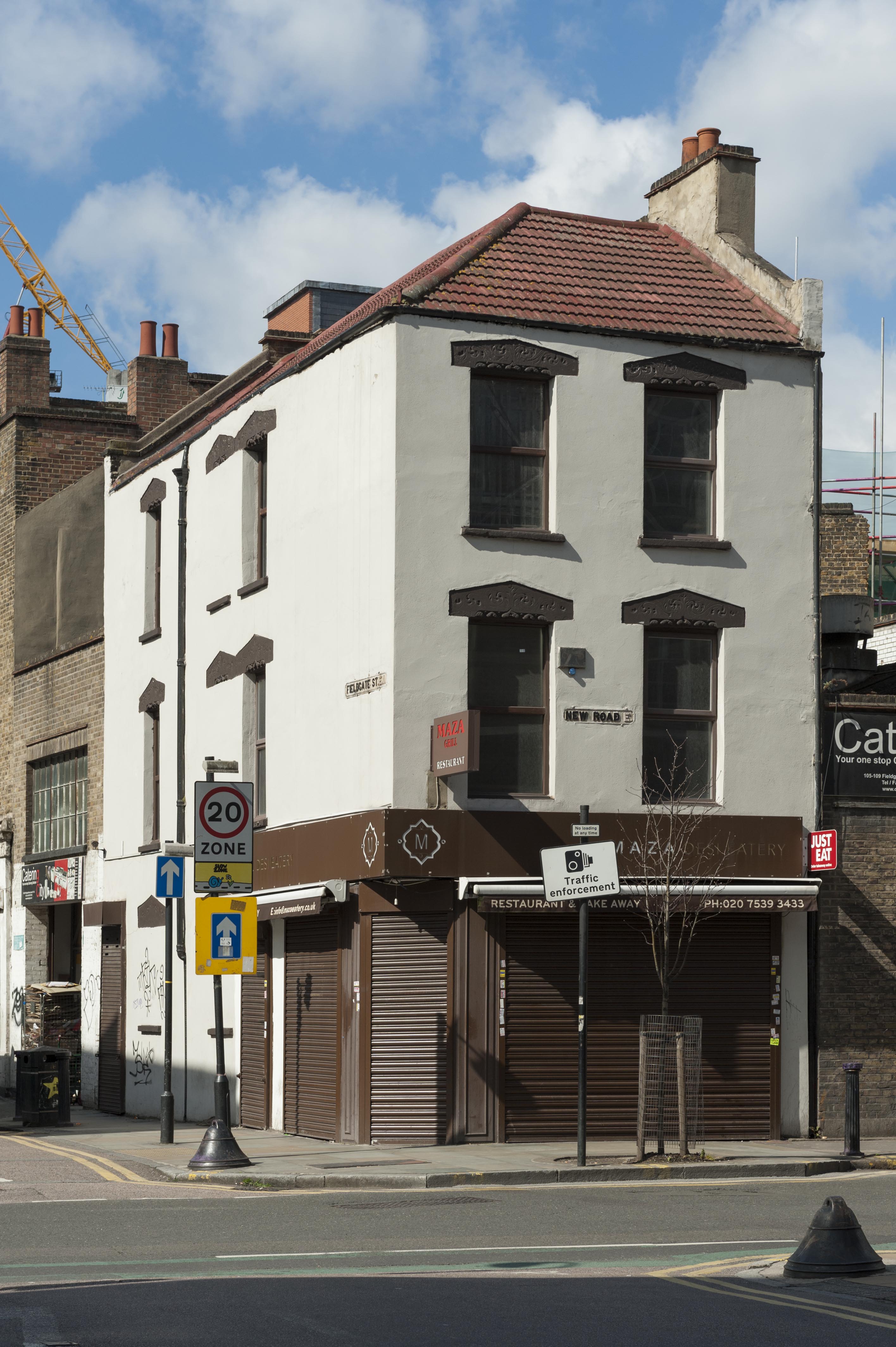
{
"id": 334,
"title": "63-65 New Road in 2016",
"author": {
"id": 27,
"username": "DerekKendall"
},
"feature": {
"id": 820,
"type": "Feature",
"geometry": {
"type": "MultiPolygon",
"coordinates": [
[
[
[
-0.062401702862409,
51.51640498622399
],
[
-0.062528673202994,
51.516392646272365
],
[
-0.062538768612936,
51.51643417197288
],
[
-0.062411161789279,
51.51644632658338
],
[
-0.062401702862409,
51.51640498622399
]
]
]
]
},
"properties": {
"b_number": "65",
"b_name": "",
"street": "New Road",
"address": "65 New Road",
"feature_type": "WHITECHAPEL_BUILDING",
"count": 2,
"search_str": "65 New Road"
},
"tags": []
},
"file": "https://surveyoflondon.org/media/uploads/features/820/SoL%20Whitechapel100163.jpg",
"description": "",
"copyright": true,
"created": "2016-09-02"
},
{
"id": 335,
"title": "55-65 New Road in 2016",
"author": {
"id": 27,
"username": "DerekKendall"
},
"feature": {
"id": 820,
"type": "Feature",
"geometry": {
"type": "MultiPolygon",
"coordinates": [
[
[
[
-0.062401702862409,
51.51640498622399
],
[
-0.062528673202994,
51.516392646272365
],
[
-0.062538768612936,
51.51643417197288
],
[
-0.062411161789279,
51.51644632658338
],
[
-0.062401702862409,
51.51640498622399
]
]
]
]
},
"properties": {
"b_number": "65",
"b_name": "",
"street": "New Road",
"address": "65 New Road",
"feature_type": "WHITECHAPEL_BUILDING",
"count": 2,
"search_str": "65 New Road"
},
"tags": []
},
"file": "https://surveyoflondon.org/media/uploads/features/820/SoL%20Whitechapel100165.jpg",
"description": "",
"copyright": true,
"created": "2016-09-02"
},
{
"id": 1666,
"title": "Metropolitan Board of Works slum-clearance area and first scheme for redevelopment, 1875",
"author": {
"id": 82,
"username": "HelenJones"
},
"feature": {
"id": 1347,
"type": "Feature",
"geometry": {
"type": "MultiPolygon",
"coordinates": [
[
[
[
-0.069819559407313,
51.50997990573074
],
[
-0.069698917146582,
51.51000714041904
],
[
-0.069667902850764,
51.50995327540266
],
[
-0.069655885450865,
51.5099555480626
],
[
-0.069607612590961,
51.509875152694654
],
[
-0.069619902299889,
51.50987203363261
],
[
-0.069585387143879,
51.509810178022995
],
[
-0.069712932375651,
51.50978154064002
],
[
-0.069819559407313,
51.50997990573074
]
]
]
]
},
"properties": {
"b_number": "",
"b_name": "Block H",
"street": "John Fisher Street",
"address": "Block H, John Fisher Street, Peabody Estate Whitechapel",
"feature_type": "WHITECHAPEL_BUILDING",
"count": 9,
"search_str": "Block H"
},
"tags": []
},
"file": "https://surveyoflondon.org/media/uploads/features/1347/Peabody%20Estate%20Plans%20Left%20hand.jpg",
"description": "",
"copyright": true,
"created": "2019-10-04"
},
{
"id": 1667,
"title": "Metropolitan Board of Works, slum-clearance redevelopment, scheme of 1876 and as completed by 1894",
"author": {
"id": 82,
"username": "HelenJones"
},
"feature": {
"id": 1347,
"type": "Feature",
"geometry": {
"type": "MultiPolygon",
"coordinates": [
[
[
[
-0.069819559407313,
51.50997990573074
],
[
-0.069698917146582,
51.51000714041904
],
[
-0.069667902850764,
51.50995327540266
],
[
-0.069655885450865,
51.5099555480626
],
[
-0.069607612590961,
51.509875152694654
],
[
-0.069619902299889,
51.50987203363261
],
[
-0.069585387143879,
51.509810178022995
],
[
-0.069712932375651,
51.50978154064002
],
[
-0.069819559407313,
51.50997990573074
]
]
]
]
},
"properties": {
"b_number": "",
"b_name": "Block H",
"street": "John Fisher Street",
"address": "Block H, John Fisher Street, Peabody Estate Whitechapel",
"feature_type": "WHITECHAPEL_BUILDING",
"count": 9,
"search_str": "Block H"
},
"tags": []
},
"file": "https://surveyoflondon.org/media/uploads/features/1347/Peabody%20Estate%20Plans%20Right%20hand.jpg",
"description": "",
"copyright": true,
"created": "2019-10-04"
},
{
"id": 1306,
"title": "61 Royal Mint Street, gable detail in 2018",
"author": {
"id": 27,
"username": "DerekKendall"
},
"feature": {
"id": 1354,
"type": "Feature",
"geometry": {
"type": "MultiPolygon",
"coordinates": [
[
[
[
-0.069125899290664,
51.510656966033906
],
[
-0.069021887283004,
51.51067095075817
],
[
-0.068971669187029,
51.51058059044507
],
[
-0.068995538159332,
51.51054493759035
],
[
-0.069055863491195,
51.51052848937993
],
[
-0.069125899290664,
51.510656966033906
]
]
]
]
},
"properties": {
"b_number": "61",
"b_name": "",
"street": "Royal Mint Street",
"address": "61 Royal Mint Street (formerly the City of Carlisle public house)",
"feature_type": "WHITECHAPEL_BUILDING",
"count": 3,
"search_str": "61 Royal Mint Street (formerly the City of Carlisle public house)"
},
"tags": [
"Blue Peter",
"City of Carlisle"
]
},
"file": "https://surveyoflondon.org/media/uploads/features/1354/SoL%20Whitechapel%20102052.jpg",
"description": "",
"copyright": true,
"created": "2018-08-13"
},
{
"id": 253,
"title": "100-136 Cavell Street, view from the south in 2016",
"author": {
"id": 27,
"username": "DerekKendall"
},
"feature": {
"id": 1225,
"type": "Feature",
"geometry": {
"type": "MultiPolygon",
"coordinates": [
[
[
[
-0.05743334726048,
51.51875280302079
],
[
-0.057252673068984,
51.518806843406765
],
[
-0.057170195464628,
51.5185968186386
],
[
-0.057079852652307,
51.51825729526833
],
[
-0.057005683364982,
51.517978551059656
],
[
-0.056964021403485,
51.51782197496412
],
[
-0.056929392612578,
51.51782556147891
],
[
-0.056894673386784,
51.51769507675931
],
[
-0.05689258404532,
51.517687224397214
],
[
-0.056951296883686,
51.517689353196516
],
[
-0.057009155443495,
51.51769145099261
],
[
-0.057065937056349,
51.5176935097136
],
[
-0.057097547381551,
51.51769751439816
],
[
-0.057118740955252,
51.5177037775098
],
[
-0.057140951587512,
51.51771034117602
],
[
-0.057159309169174,
51.51771975122804
],
[
-0.057180587616407,
51.51773065850031
],
[
-0.057194201219348,
51.51774467276304
],
[
-0.057209297725005,
51.5177602135598
],
[
-0.057214938690165,
51.517774750139814
],
[
-0.057238475511641,
51.51788312080226
],
[
-0.05743334726048,
51.51875280302079
]
]
]
]
},
"properties": {
"b_number": "100-136",
"b_name": "",
"street": "Cavell Street",
"address": "100-136 Cavell Street",
"feature_type": "WHITECHAPEL_BUILDING",
"count": 4,
"search_str": "100-136 Cavell Street"
},
"tags": []
},
"file": "https://surveyoflondon.org/media/uploads/features/1225/SoL%20Whitechapel100042_s1cbfvT.jpg",
"description": "",
"copyright": true,
"created": "2016-08-17"
},
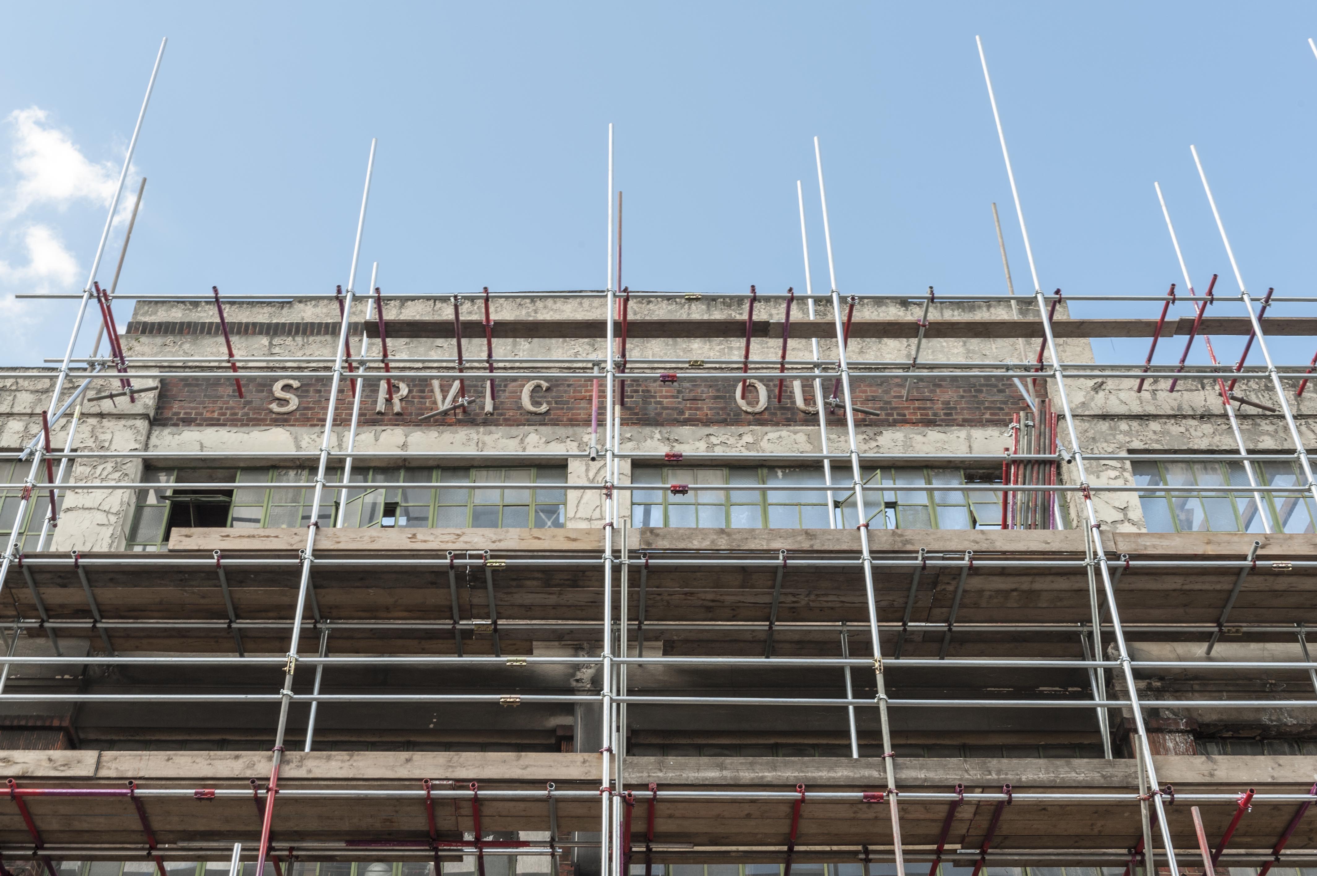
{
"id": 330,
"title": "Service House detail in May 2016",
"author": {
"id": 27,
"username": "DerekKendall"
},
"feature": {
"id": 849,
"type": "Feature",
"geometry": {
"type": "MultiPolygon",
"coordinates": [
[
[
[
-0.062609929785488,
51.51738959779921
],
[
-0.062716406528659,
51.51737667042908
],
[
-0.062723861521385,
51.51740458896256
],
[
-0.062817127286198,
51.51739512872249
],
[
-0.062863455061319,
51.51757291139632
],
[
-0.062766096607894,
51.517621918848995
],
[
-0.062677693069574,
51.517634076942514
],
[
-0.062609929785488,
51.51738959779921
]
]
]
]
},
"properties": {
"b_number": "101-107",
"b_name": "",
"street": "New Road",
"address": "New Road Hotel (formerly Service House), 101-107 New Road",
"feature_type": "WHITECHAPEL_BUILDING",
"count": 9,
"search_str": "New Road Hotel (formerly Service House), 101-107 New Road"
},
"tags": [
"H. Victor Kerr"
]
},
"file": "https://surveyoflondon.org/media/uploads/features/849/SoL%20Whitechapel100153.jpg",
"description": "",
"copyright": true,
"created": "2016-09-02"
},
{
"id": 338,
"title": "97 New Road in 2016",
"author": {
"id": 27,
"username": "DerekKendall"
},
"feature": {
"id": 848,
"type": "Feature",
"geometry": {
"type": "MultiPolygon",
"coordinates": [
[
[
[
-0.062746225596751,
51.5172920678092
],
[
-0.062596033045638,
51.51731393181131
],
[
-0.062590405086269,
51.51727466434853
],
[
-0.062732985644,
51.51725663827326
],
[
-0.062746225596751,
51.5172920678092
]
]
]
]
},
"properties": {
"b_number": "97",
"b_name": "",
"street": "New Road",
"address": "97 New Road",
"feature_type": "WHITECHAPEL_BUILDING",
"count": 1,
"search_str": "97 New Road"
},
"tags": []
},
"file": "https://surveyoflondon.org/media/uploads/features/848/SoL%20Whitechapel100167.jpg",
"description": "",
"copyright": true,
"created": "2016-09-02"
},
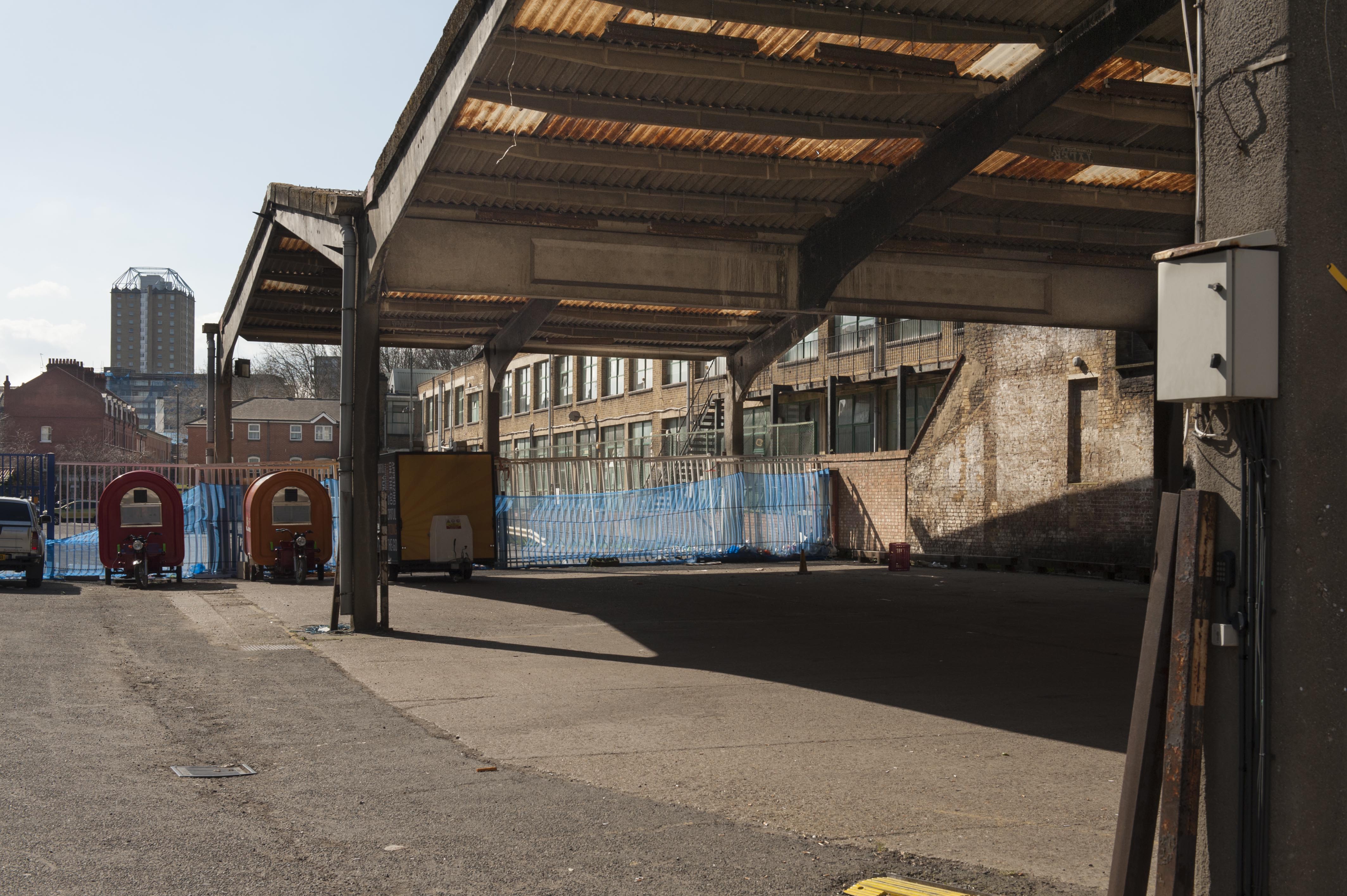
{
"id": 289,
"title": "100-136 Cavell Street, view of covered yard at the rear in 2016",
"author": {
"id": 27,
"username": "DerekKendall"
},
"feature": {
"id": 1225,
"type": "Feature",
"geometry": {
"type": "MultiPolygon",
"coordinates": [
[
[
[
-0.05743334726048,
51.51875280302079
],
[
-0.057252673068984,
51.518806843406765
],
[
-0.057170195464628,
51.5185968186386
],
[
-0.057079852652307,
51.51825729526833
],
[
-0.057005683364982,
51.517978551059656
],
[
-0.056964021403485,
51.51782197496412
],
[
-0.056929392612578,
51.51782556147891
],
[
-0.056894673386784,
51.51769507675931
],
[
-0.05689258404532,
51.517687224397214
],
[
-0.056951296883686,
51.517689353196516
],
[
-0.057009155443495,
51.51769145099261
],
[
-0.057065937056349,
51.5176935097136
],
[
-0.057097547381551,
51.51769751439816
],
[
-0.057118740955252,
51.5177037775098
],
[
-0.057140951587512,
51.51771034117602
],
[
-0.057159309169174,
51.51771975122804
],
[
-0.057180587616407,
51.51773065850031
],
[
-0.057194201219348,
51.51774467276304
],
[
-0.057209297725005,
51.5177602135598
],
[
-0.057214938690165,
51.517774750139814
],
[
-0.057238475511641,
51.51788312080226
],
[
-0.05743334726048,
51.51875280302079
]
]
]
]
},
"properties": {
"b_number": "100-136",
"b_name": "",
"street": "Cavell Street",
"address": "100-136 Cavell Street",
"feature_type": "WHITECHAPEL_BUILDING",
"count": 4,
"search_str": "100-136 Cavell Street"
},
"tags": []
},
"file": "https://surveyoflondon.org/media/uploads/features/1225/SoL%20Whitechapel100038.jpg",
"description": "",
"copyright": true,
"created": "2016-08-17"
},
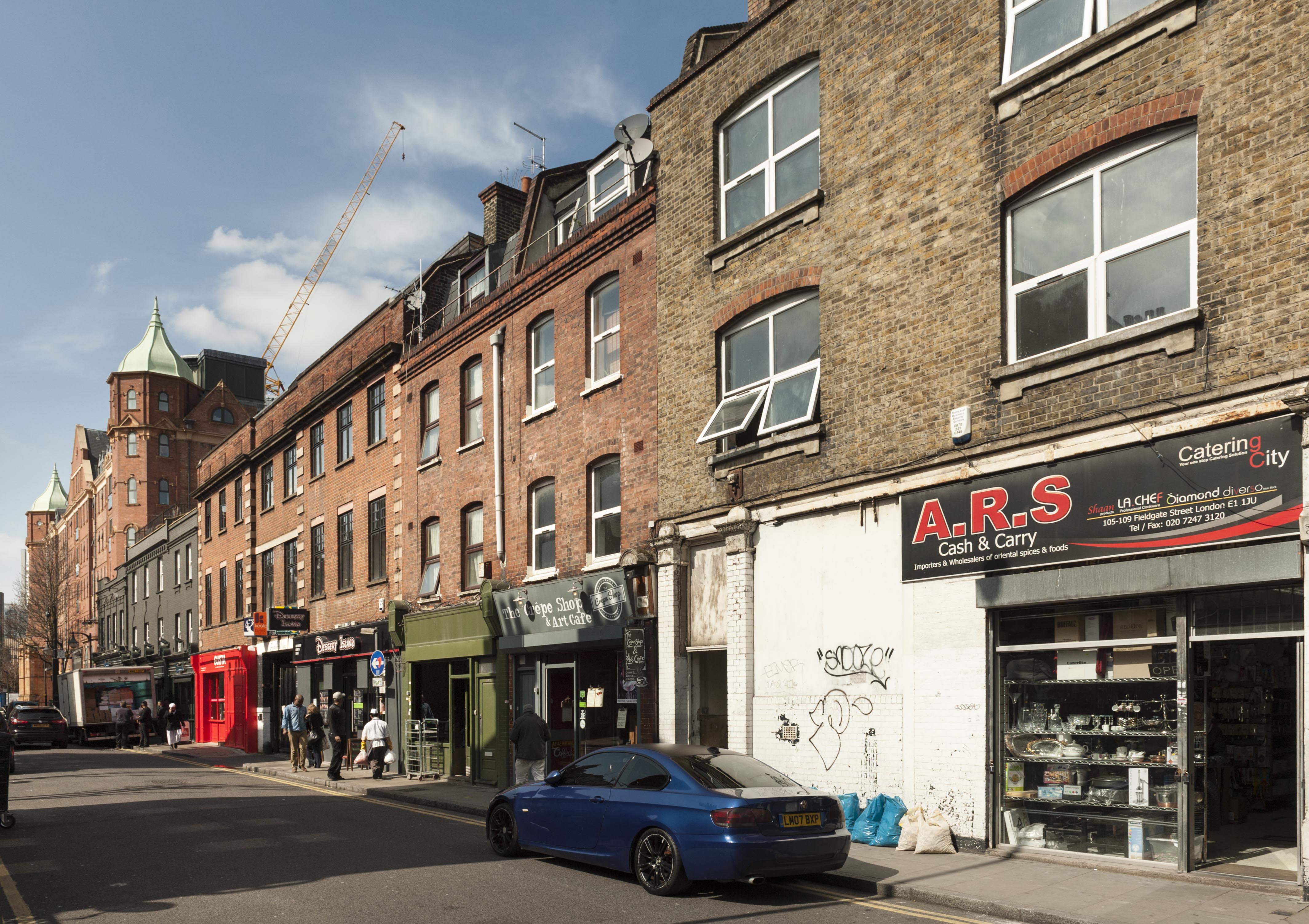
{
"id": 339,
"title": "91-107 Fieldgate Street in 2016",
"author": {
"id": 27,
"username": "DerekKendall"
},
"feature": {
"id": 846,
"type": "Feature",
"geometry": {
"type": "MultiPolygon",
"coordinates": [
[
[
[
-0.062941009597522,
51.5173144788812
],
[
-0.062830107537749,
51.51732809779392
],
[
-0.062799534134417,
51.51724632026702
],
[
-0.062913846900723,
51.51723080802521
],
[
-0.062941009597522,
51.5173144788812
]
]
]
]
},
"properties": {
"b_number": "105–107",
"b_name": "",
"street": "Fieldgate Street",
"address": "105–107 Fieldgate Street",
"feature_type": "WHITECHAPEL_BUILDING",
"count": 2,
"search_str": "105–107 Fieldgate Street"
},
"tags": []
},
"file": "https://surveyoflondon.org/media/uploads/features/846/SoL%20Whitechapel100168.jpg",
"description": "",
"copyright": true,
"created": "2016-09-02"
},
{
"id": 271,
"title": "East elevation of the Blizard Building in 2016",
"author": {
"id": 27,
"username": "DerekKendall"
},
"feature": {
"id": 1163,
"type": "Feature",
"geometry": {
"type": "MultiPolygon",
"coordinates": [
[
[
[
-0.060979423312093,
51.51687996411422
],
[
-0.060821480072965,
51.516165829174554
],
[
-0.061150394642652,
51.5161342922288
],
[
-0.061250705098503,
51.51659420015728
],
[
-0.061483939056146,
51.516571247564805
],
[
-0.061372726955292,
51.51610718653116
],
[
-0.061473753012294,
51.516097396643715
],
[
-0.061545939688273,
51.51637602454029
],
[
-0.061578400286946,
51.51650000649485
],
[
-0.061813068160685,
51.5164781671439
],
[
-0.061841033599566,
51.51659920223576
],
[
-0.061917577172769,
51.51659314478618
],
[
-0.061935232261836,
51.516679987561794
],
[
-0.061860089281967,
51.51668593416029
],
[
-0.06188078856813,
51.51678775130236
],
[
-0.061650778364593,
51.51680797914597
],
[
-0.061652482216837,
51.51681638161555
],
[
-0.06154746554607,
51.51682671647673
],
[
-0.061489614276897,
51.51659788651982
],
[
-0.061258068758741,
51.516620672951085
],
[
-0.061315264564342,
51.51684691479345
],
[
-0.060979423312093,
51.51687996411422
]
]
]
]
},
"properties": {
"b_number": "",
"b_name": "",
"street": "Walden Street",
"address": "Blizard Building",
"feature_type": "WHITECHAPEL_BUILDING",
"count": 14,
"search_str": "Blizard Building"
},
"tags": []
},
"file": "https://surveyoflondon.org/media/uploads/features/1163/SoL%20Whitechapel100095.jpg",
"description": "",
"copyright": true,
"created": "2016-08-17"
},
{
"id": 557,
"title": "Beagle House and Aldgate East underground station from the north side of Whitechapel High Street, 2005",
"author": {
"id": 22,
"username": "sarahannmilne"
},
"feature": {
"id": 30,
"type": "Feature",
"geometry": {
"type": "MultiPolygon",
"coordinates": [
[
[
[
-0.072576965124861,
51.51480414332742
],
[
-0.071902729892604,
51.51504709813925
],
[
-0.071596198352356,
51.51466686280493
],
[
-0.072223318247544,
51.51442704353616
],
[
-0.072576965124861,
51.51480414332742
]
]
]
]
},
"properties": {
"b_number": "2",
"b_name": "Aldgate Tower",
"street": "Leman Street",
"address": "Aldgate Tower, 2 Leman Street",
"feature_type": "WHITECHAPEL_BUILDING",
"count": 13,
"search_str": "Aldgate Tower"
},
"tags": []
},
"file": "https://surveyoflondon.org/media/uploads/features/30/May%202005%20(4).jpg",
"description": "Photograph courtesy of Richard Mellor",
"copyright": false,
"created": "2017-04-25"
},
{
"id": 396,
"title": "119-127 Backchurch Lane in 2016",
"author": {
"id": 27,
"username": "DerekKendall"
},
"feature": {
"id": 1021,
"type": "Feature",
"geometry": {
"type": "MultiPolygon",
"coordinates": [
[
[
[
-0.067053633349533,
51.513667533164444
],
[
-0.066911266990511,
51.51362112204925
],
[
-0.066938668286034,
51.51358530988042
],
[
-0.067083457779187,
51.51362941978749
],
[
-0.067053633349533,
51.513667533164444
]
]
]
]
},
"properties": {
"b_number": "119",
"b_name": "119 Back Church Lane",
"street": "Back Church Lane",
"address": "119 Back Church Lane",
"feature_type": "WHITECHAPEL_BUILDING",
"count": 2,
"search_str": "119 Back Church Lane"
},
"tags": []
},
"file": "https://surveyoflondon.org/media/uploads/features/1021/SoL%20Whitechapel100427.jpg",
"description": "",
"copyright": true,
"created": "2016-09-13"
},
{
"id": 764,
"title": "Looking east along North Tenter Street towards East Tenter Street. August 2017",
"author": {
"id": 27,
"username": "DerekKendall"
},
"feature": {
"id": 84,
"type": "Feature",
"geometry": {
"type": "MultiPolygon",
"coordinates": [
[
[
[
-0.070763717870626,
51.51334409604028
],
[
-0.070895955764152,
51.513303113443875
],
[
-0.070934641607379,
51.51334963856506
],
[
-0.070799808107294,
51.51339053654499
],
[
-0.070763717870626,
51.51334409604028
]
]
]
]
},
"properties": {
"b_number": "30",
"b_name": "",
"street": "East Tenter Street",
"address": "30 East Tenter Street",
"feature_type": "WHITECHAPEL_BUILDING",
"count": 4,
"search_str": "30 East Tenter Street"
},
"tags": [
"builder",
"Davis brothers",
"East Tenter Street",
"Leman Street",
"Nathaniel Davis",
"Raphael Davis"
]
},
"file": "https://surveyoflondon.org/media/uploads/features/84/SoL%20Whitechapel%20101254.jpg",
"description": "",
"copyright": true,
"created": "2017-09-12"
},
{
"id": 249,
"title": "The Royal London Hospital, view from the north-east",
"author": {
"id": 27,
"username": "DerekKendall"
},
"feature": {
"id": 1055,
"type": "Feature",
"geometry": {
"type": "MultiPolygon",
"coordinates": [
[
[
[
-0.059603168139066,
51.51814636262423
],
[
-0.05875064513042,
51.51833756100746
],
[
-0.05880027021497,
51.518428132403216
],
[
-0.058410175950557,
51.51851717894338
],
[
-0.058335119342649,
51.518387426557936
],
[
-0.058167883621195,
51.51840165384316
],
[
-0.058022191519375,
51.51770291533161
],
[
-0.058048225832449,
51.51770082847909
],
[
-0.0579567547367,
51.51754022786524
],
[
-0.057495813231092,
51.51758034522329
],
[
-0.057465726563153,
51.517443962991116
],
[
-0.057673016552398,
51.517425768571606
],
[
-0.057646690264841,
51.51729977054202
],
[
-0.057699256976843,
51.517294411534294
],
[
-0.059206618543123,
51.51716361286622
],
[
-0.05935638144775,
51.51742122218897
],
[
-0.059104959322273,
51.51744251080535
],
[
-0.059176189888187,
51.51756734317978
],
[
-0.05939181053717,
51.51754735040721
],
[
-0.059446707065502,
51.517822454567046
],
[
-0.059415919392695,
51.51782446306142
],
[
-0.059603168139066,
51.51814636262423
]
]
]
]
},
"properties": {
"b_number": "",
"b_name": "",
"street": "Stepney Way",
"address": "The Royal London Hospital",
"feature_type": "WHITECHAPEL_BUILDING",
"count": 13,
"search_str": "The Royal London Hospital"
},
"tags": []
},
"file": "https://surveyoflondon.org/media/uploads/features/1055/SoL%20Whitechapel100040_Z6KvYAB.jpg",
"description": "The Royal London Hospital in 2016.",
"copyright": true,
"created": "2016-08-17"
},
{
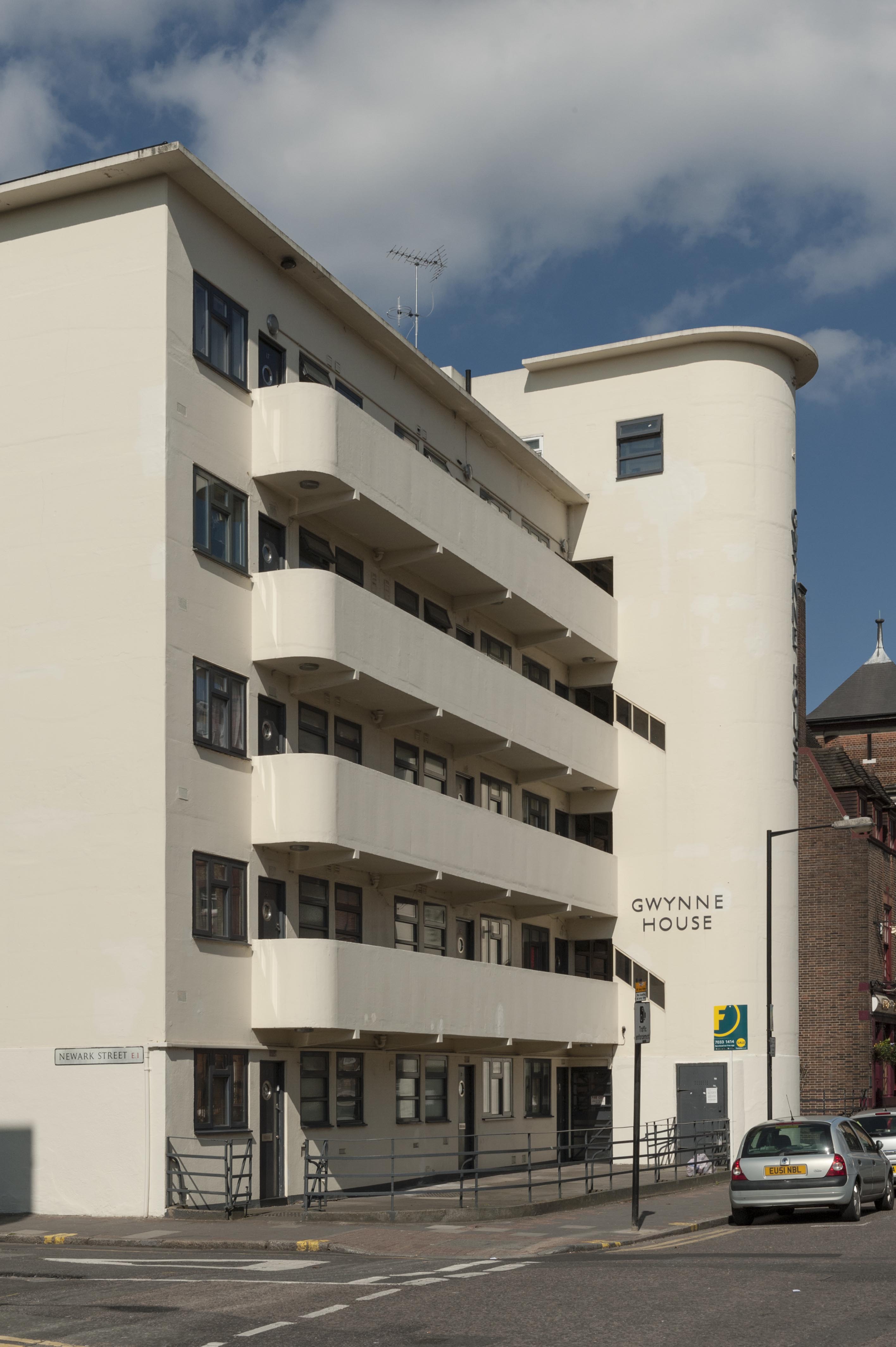
"id": 257,
"title": "Gwynne House from the south-east in 2016",
"author": {
"id": 27,
"username": "DerekKendall"
},
"feature": {
"id": 1167,
"type": "Feature",
"geometry": {
"type": "MultiPolygon",
"coordinates": [
[
[
[
-0.061202658412951,
51.51719574435803
],
[
-0.061079306347624,
51.517207329101645
],
[
-0.061069199583201,
51.51716543919934
],
[
-0.06101193415403,
51.517170817215984
],
[
-0.061003155763681,
51.51716934564466
],
[
-0.060996103082444,
51.51716563437471
],
[
-0.060993244898833,
51.51716109482402
],
[
-0.060992481314744,
51.51715643997487
],
[
-0.060993400756275,
51.517151902171804
],
[
-0.06099534354228,
51.51714833843544
],
[
-0.060997956097902,
51.51714503825175
],
[
-0.061004341447847,
51.51714210593221
],
[
-0.061009647790809,
51.517139669120326
],
[
-0.061022544587713,
51.517137757001514
],
[
-0.061059918868378,
51.517132215801325
],
[
-0.061029644233656,
51.516996130234475
],
[
-0.061156522910844,
51.51698514293202
],
[
-0.061202658412951,
51.51719574435803
]
]
]
]
},
"properties": {
"b_number": "",
"b_name": "",
"street": "Turner Street",
"address": "Gwynne House",
"feature_type": "WHITECHAPEL_BUILDING",
"count": 7,
"search_str": "Gwynne House"
},
"tags": []
},
"file": "https://surveyoflondon.org/media/uploads/features/1167/SoL%20Whitechapel100096.jpg",
"description": "",
"copyright": true,
"created": "2016-08-17"
}
]
}
.jpg)