HTTP 200 OK
Allow: GET, HEAD, OPTIONS
Content-Type: application/json
Vary: Accept
{
"count": 1747,
"next": "https://surveyoflondon.org/api/v1/images/?format=api&page=26",
"previous": "https://surveyoflondon.org/api/v1/images/?format=api&page=24",
"results": [
{
"id": 31,
"title": "27 Commercial Road",
"author": {
"id": 27,
"username": "DerekKendall"
},
"feature": {
"id": 102,
"type": "Feature",
"geometry": {
"type": "MultiPolygon",
"coordinates": [
[
[
[
-0.068884991325227,
51.51509176890641
],
[
-0.068884964761477,
51.515091771690116
],
[
-0.068794658458709,
51.51512331365302
],
[
-0.068755208747082,
51.51507437068053
],
[
-0.068763951154488,
51.515060519662065
],
[
-0.06878690364361,
51.51504817492868
],
[
-0.068894901526045,
51.51504995339762
],
[
-0.068909858606256,
51.515082006494964
],
[
-0.068884991325227,
51.51509176890641
]
]
]
]
},
"properties": {
"b_number": "27",
"b_name": "",
"street": "Commercial Road",
"address": "27 Commercial Road",
"feature_type": "WHITECHAPEL_BUILDING",
"count": 10,
"search_str": "27 Commercial Road"
},
"tags": []
},
"file": "https://surveyoflondon.org/media/uploads/features/102/SoL%20Whitechapel100219.jpg",
"description": "",
"copyright": true,
"created": "2016-06-20"
},
{
"id": 32,
"title": "27 Commercial Road",
"author": {
"id": 27,
"username": "DerekKendall"
},
"feature": {
"id": 102,
"type": "Feature",
"geometry": {
"type": "MultiPolygon",
"coordinates": [
[
[
[
-0.068884991325227,
51.51509176890641
],
[
-0.068884964761477,
51.515091771690116
],
[
-0.068794658458709,
51.51512331365302
],
[
-0.068755208747082,
51.51507437068053
],
[
-0.068763951154488,
51.515060519662065
],
[
-0.06878690364361,
51.51504817492868
],
[
-0.068894901526045,
51.51504995339762
],
[
-0.068909858606256,
51.515082006494964
],
[
-0.068884991325227,
51.51509176890641
]
]
]
]
},
"properties": {
"b_number": "27",
"b_name": "",
"street": "Commercial Road",
"address": "27 Commercial Road",
"feature_type": "WHITECHAPEL_BUILDING",
"count": 10,
"search_str": "27 Commercial Road"
},
"tags": []
},
"file": "https://surveyoflondon.org/media/uploads/features/102/SoL%20Whitechapel100225.jpg",
"description": "",
"copyright": true,
"created": "2016-06-20"
},
{
"id": 170,
"title": "199 Whitechapel Road in 2016",
"author": {
"id": 27,
"username": "DerekKendall"
},
"feature": {
"id": 423,
"type": "Feature",
"geometry": {
"type": "MultiPolygon",
"coordinates": [
[
[
[
-0.062751025821007,
51.518713377913635
],
[
-0.062703008307433,
51.51872478453117
],
[
-0.062709694502384,
51.518738900306154
],
[
-0.062599161112712,
51.51876020020802
],
[
-0.062547913361328,
51.51865958014376
],
[
-0.06264997241392,
51.518637709398746
],
[
-0.06270212037316,
51.51862633234804
],
[
-0.062751025821007,
51.518713377913635
]
]
]
]
},
"properties": {
"b_number": "199",
"b_name": "",
"street": "Whitechapel Road",
"address": "199 Whitechapel Road (former Black Bull public house)",
"feature_type": "WHITECHAPEL_BUILDING",
"count": 3,
"search_str": "199 Whitechapel Road (former Black Bull public house)"
},
"tags": [
"'Bangladeshi restaurant'",
"'public house'"
]
},
"file": "https://surveyoflondon.org/media/uploads/features/423/SoL%20Whitechapel100311.jpg",
"description": "",
"copyright": true,
"created": "2016-07-27"
},
{
"id": 228,
"title": "289-299 Whitechapel Road in 2016",
"author": {
"id": 27,
"username": "DerekKendall"
},
"feature": {
"id": 506,
"type": "Feature",
"geometry": {
"type": "MultiPolygon",
"coordinates": [
[
[
[
-0.058923958069962,
51.51955414362033
],
[
-0.058879793019045,
51.51949103520022
],
[
-0.058952615634235,
51.51947392297037
],
[
-0.059003239198862,
51.5195469098603
],
[
-0.059003239198861,
51.51954690986031
],
[
-0.058930282005914,
51.51956440683161
],
[
-0.058923958069962,
51.51955414362033
]
]
]
]
},
"properties": {
"b_number": "299",
"b_name": "",
"street": "Whitechapel Road",
"address": "299 Whitechapel Road (formerly the Lord Nelson public house)",
"feature_type": "WHITECHAPEL_BUILDING",
"count": 3,
"search_str": "299 Whitechapel Road (formerly the Lord Nelson public house)"
},
"tags": [
"Daniel Mendoza",
"Lord Nelson"
]
},
"file": "https://surveyoflondon.org/media/uploads/features/506/SoL%20Whitechapel100023.jpg",
"description": "",
"copyright": true,
"created": "2016-08-01"
},
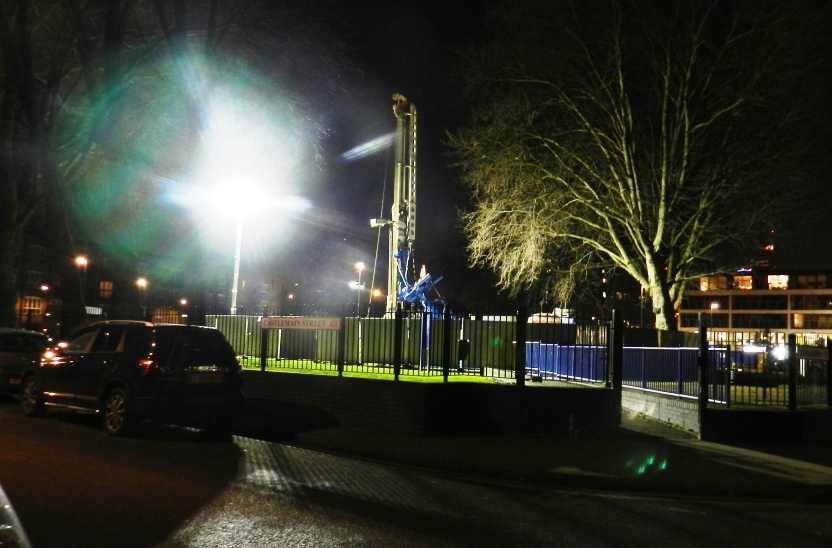
{
"id": 329,
"title": "Service House from the south-east in May 2016",
"author": {
"id": 27,
"username": "DerekKendall"
},
"feature": {
"id": 849,
"type": "Feature",
"geometry": {
"type": "MultiPolygon",
"coordinates": [
[
[
[
-0.062609929785488,
51.51738959779921
],
[
-0.062716406528659,
51.51737667042908
],
[
-0.062723861521385,
51.51740458896256
],
[
-0.062817127286198,
51.51739512872249
],
[
-0.062863455061319,
51.51757291139632
],
[
-0.062766096607894,
51.517621918848995
],
[
-0.062677693069574,
51.517634076942514
],
[
-0.062609929785488,
51.51738959779921
]
]
]
]
},
"properties": {
"b_number": "101-107",
"b_name": "",
"street": "New Road",
"address": "New Road Hotel (formerly Service House), 101-107 New Road",
"feature_type": "WHITECHAPEL_BUILDING",
"count": 9,
"search_str": "New Road Hotel (formerly Service House), 101-107 New Road"
},
"tags": [
"H. Victor Kerr"
]
},
"file": "https://surveyoflondon.org/media/uploads/features/849/SoL%20Whitechapel100152.jpg",
"description": "",
"copyright": true,
"created": "2016-09-02"
},
{
"id": 216,
"title": "277-281 Whitechapel Road in 2016",
"author": {
"id": 27,
"username": "DerekKendall"
},
"feature": {
"id": 497,
"type": "Feature",
"geometry": {
"type": "MultiPolygon",
"coordinates": [
[
[
[
-0.059738898782278,
51.51937822218193
],
[
-0.059753664168125,
51.519374801396815
],
[
-0.059860261012373,
51.519436897257755
],
[
-0.059678799167797,
51.51954933684866
],
[
-0.059623043880068,
51.519460220443136
],
[
-0.059592946555481,
51.51941486628688
],
[
-0.059543133323744,
51.51933524687723
],
[
-0.059692244149982,
51.519300912836506
],
[
-0.059738898782278,
51.51937822218193
]
]
]
]
},
"properties": {
"b_number": "277",
"b_name": "Whitechapel Station",
"street": "Whitechapel Road",
"address": "Whitechapel Station, 277 Whitechapel Road",
"feature_type": "WHITECHAPEL_BUILDING",
"count": 11,
"search_str": "Whitechapel Station"
},
"tags": []
},
"file": "https://surveyoflondon.org/media/uploads/features/497/SoL%20Whitechapel100017.jpg",
"description": "",
"copyright": true,
"created": "2016-08-01"
},
{
"id": 1304,
"title": "57–66 Royal Mint Street from the northwest in 2018",
"author": {
"id": 27,
"username": "DerekKendall"
},
"feature": {
"id": 1353,
"type": "Feature",
"geometry": {
"type": "MultiPolygon",
"coordinates": [
[
[
[
-0.06933779479114,
51.51062557173645
],
[
-0.069125899290664,
51.510656966033906
],
[
-0.069081875421886,
51.510576206860954
],
[
-0.069208826063677,
51.5105467054335
],
[
-0.069214093083725,
51.51055435016756
],
[
-0.069289339979864,
51.51053756613521
],
[
-0.06933779479114,
51.51062557173645
]
]
]
]
},
"properties": {
"b_number": "57-60",
"b_name": "",
"street": "Royal Mint Street",
"address": "57-60 Royal Mint Street",
"feature_type": "WHITECHAPEL_BUILDING",
"count": 3,
"search_str": "57-60 Royal Mint Street"
},
"tags": []
},
"file": "https://surveyoflondon.org/media/uploads/features/1353/SoL%20Whitechapel%20102050.jpg",
"description": "",
"copyright": true,
"created": "2018-08-13"
},
{
"id": 299,
"title": "Job Centre, Settles Street, view from the south-east in 2016",
"author": {
"id": 27,
"username": "DerekKendall"
},
"feature": {
"id": 760,
"type": "Feature",
"geometry": {
"type": "MultiPolygon",
"coordinates": [
[
[
[
-0.064431018108042,
51.51570204579108
],
[
-0.064420650204295,
51.515607764139574
],
[
-0.064447070150846,
51.51560599992176
],
[
-0.064419200243832,
51.51533138388975
],
[
-0.064391414003094,
51.515332481648
],
[
-0.064381152809134,
51.51523137167541
],
[
-0.064637283754949,
51.51522492009495
],
[
-0.064725811157017,
51.5152430805813
],
[
-0.064780958263802,
51.515267817351415
],
[
-0.064831165428844,
51.515299343519196
],
[
-0.064865009846185,
51.515347710804754
],
[
-0.064892752262368,
51.515399698685556
],
[
-0.064900665285245,
51.51549543360225
],
[
-0.064889659405555,
51.51558562796999
],
[
-0.064849192776816,
51.51562022641772
],
[
-0.064797059557195,
51.51565206862892
],
[
-0.064736004766628,
51.51567424451908
],
[
-0.064668577220194,
51.51568953450847
],
[
-0.064431018108042,
51.51570204579108
]
]
]
]
},
"properties": {
"b_number": "13-29",
"b_name": "Cityside Jobcentre Whitechapel",
"street": "Settles Street",
"address": "Citryside Jobcentre Whitechapel (formerly Stepney Employment Exchange), 13-29 Settles Street",
"feature_type": "WHITECHAPEL_BUILDING",
"count": 4,
"search_str": "Cityside Jobcentre Whitechapel"
},
"tags": []
},
"file": "https://surveyoflondon.org/media/uploads/features/760/SoL%20Whitechapel100183.jpg",
"description": "",
"copyright": true,
"created": "2016-08-23"
},
{
"id": 300,
"title": "Job Centre, Settles Street, view from the north-east in 2016",
"author": {
"id": 27,
"username": "DerekKendall"
},
"feature": {
"id": 760,
"type": "Feature",
"geometry": {
"type": "MultiPolygon",
"coordinates": [
[
[
[
-0.064431018108042,
51.51570204579108
],
[
-0.064420650204295,
51.515607764139574
],
[
-0.064447070150846,
51.51560599992176
],
[
-0.064419200243832,
51.51533138388975
],
[
-0.064391414003094,
51.515332481648
],
[
-0.064381152809134,
51.51523137167541
],
[
-0.064637283754949,
51.51522492009495
],
[
-0.064725811157017,
51.5152430805813
],
[
-0.064780958263802,
51.515267817351415
],
[
-0.064831165428844,
51.515299343519196
],
[
-0.064865009846185,
51.515347710804754
],
[
-0.064892752262368,
51.515399698685556
],
[
-0.064900665285245,
51.51549543360225
],
[
-0.064889659405555,
51.51558562796999
],
[
-0.064849192776816,
51.51562022641772
],
[
-0.064797059557195,
51.51565206862892
],
[
-0.064736004766628,
51.51567424451908
],
[
-0.064668577220194,
51.51568953450847
],
[
-0.064431018108042,
51.51570204579108
]
]
]
]
},
"properties": {
"b_number": "13-29",
"b_name": "Cityside Jobcentre Whitechapel",
"street": "Settles Street",
"address": "Citryside Jobcentre Whitechapel (formerly Stepney Employment Exchange), 13-29 Settles Street",
"feature_type": "WHITECHAPEL_BUILDING",
"count": 4,
"search_str": "Cityside Jobcentre Whitechapel"
},
"tags": []
},
"file": "https://surveyoflondon.org/media/uploads/features/760/SoL%20Whitechapel100182.jpg",
"description": "",
"copyright": true,
"created": "2016-08-23"
},
{
"id": 301,
"title": "Job Centre, Settles Street, detail",
"author": {
"id": 27,
"username": "DerekKendall"
},
"feature": {
"id": 760,
"type": "Feature",
"geometry": {
"type": "MultiPolygon",
"coordinates": [
[
[
[
-0.064431018108042,
51.51570204579108
],
[
-0.064420650204295,
51.515607764139574
],
[
-0.064447070150846,
51.51560599992176
],
[
-0.064419200243832,
51.51533138388975
],
[
-0.064391414003094,
51.515332481648
],
[
-0.064381152809134,
51.51523137167541
],
[
-0.064637283754949,
51.51522492009495
],
[
-0.064725811157017,
51.5152430805813
],
[
-0.064780958263802,
51.515267817351415
],
[
-0.064831165428844,
51.515299343519196
],
[
-0.064865009846185,
51.515347710804754
],
[
-0.064892752262368,
51.515399698685556
],
[
-0.064900665285245,
51.51549543360225
],
[
-0.064889659405555,
51.51558562796999
],
[
-0.064849192776816,
51.51562022641772
],
[
-0.064797059557195,
51.51565206862892
],
[
-0.064736004766628,
51.51567424451908
],
[
-0.064668577220194,
51.51568953450847
],
[
-0.064431018108042,
51.51570204579108
]
]
]
]
},
"properties": {
"b_number": "13-29",
"b_name": "Cityside Jobcentre Whitechapel",
"street": "Settles Street",
"address": "Citryside Jobcentre Whitechapel (formerly Stepney Employment Exchange), 13-29 Settles Street",
"feature_type": "WHITECHAPEL_BUILDING",
"count": 4,
"search_str": "Cityside Jobcentre Whitechapel"
},
"tags": []
},
"file": "https://surveyoflondon.org/media/uploads/features/760/SoL%20Whitechapel100184.jpg",
"description": "",
"copyright": true,
"created": "2016-08-23"
},
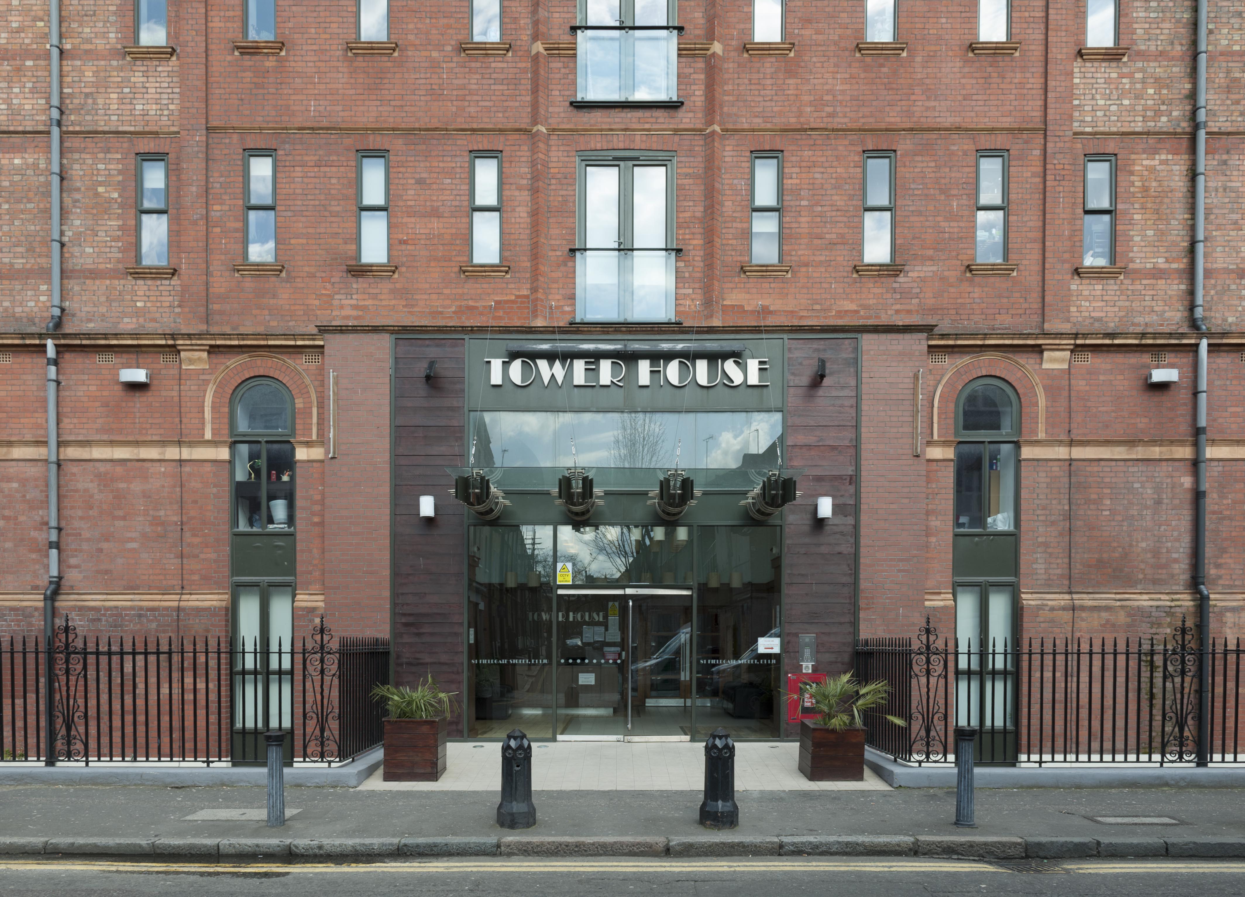
{
"id": 345,
"title": "Tower House in 2016, entrance detail",
"author": {
"id": 27,
"username": "DerekKendall"
},
"feature": {
"id": 839,
"type": "Feature",
"geometry": {
"type": "MultiPolygon",
"coordinates": [
[
[
[
-0.064497563558549,
51.517361628803805
],
[
-0.064496408109862,
51.51736309395909
],
[
-0.064348901589247,
51.517381493231476
],
[
-0.064343975983599,
51.51736612215419
],
[
-0.064054660314112,
51.517402209452214
],
[
-0.064059058880887,
51.517415936099994
],
[
-0.063880964779871,
51.51743814997979
],
[
-0.063877096358366,
51.517426077614196
],
[
-0.063528073193922,
51.517469610821024
],
[
-0.063478650874795,
51.517449375087956
],
[
-0.063465163734058,
51.51737222076246
],
[
-0.063672133997618,
51.51734725578329
],
[
-0.063667407479579,
51.51723290068993
],
[
-0.063724830703042,
51.51723384881843
],
[
-0.063725147296712,
51.517226384957326
],
[
-0.063667724082622,
51.517225436829115
],
[
-0.063646330595039,
51.51716533088115
],
[
-0.06369299365168,
51.51713771882066
],
[
-0.063728249907456,
51.517153239118066
],
[
-0.063773509194633,
51.517148149709364
],
[
-0.063793395289669,
51.517131845319966
],
[
-0.063867317624302,
51.51712375146289
],
[
-0.063900994386595,
51.517134287085675
],
[
-0.064225680705438,
51.51709706728731
],
[
-0.064219264541115,
51.517072344955054
],
[
-0.064310349325468,
51.51706187287984
],
[
-0.064316793729717,
51.51708593036503
],
[
-0.064372224762903,
51.517078933034306
],
[
-0.064422011504583,
51.51705414924394
],
[
-0.064459090927727,
51.517083143770165
],
[
-0.064448950765029,
51.51709642076694
],
[
-0.064497563558549,
51.517361628803805
]
]
]
]
},
"properties": {
"b_number": "81",
"b_name": "",
"street": "Fieldgate Street",
"address": "Tower House, 81 Fieldgate Street",
"feature_type": "WHITECHAPEL_BUILDING",
"count": 8,
"search_str": "Tower House, 81 Fieldgate Street"
},
"tags": []
},
"file": "https://surveyoflondon.org/media/uploads/features/839/SoL%20Whitechapel100181.jpg",
"description": "",
"copyright": true,
"created": "2016-09-02"
},
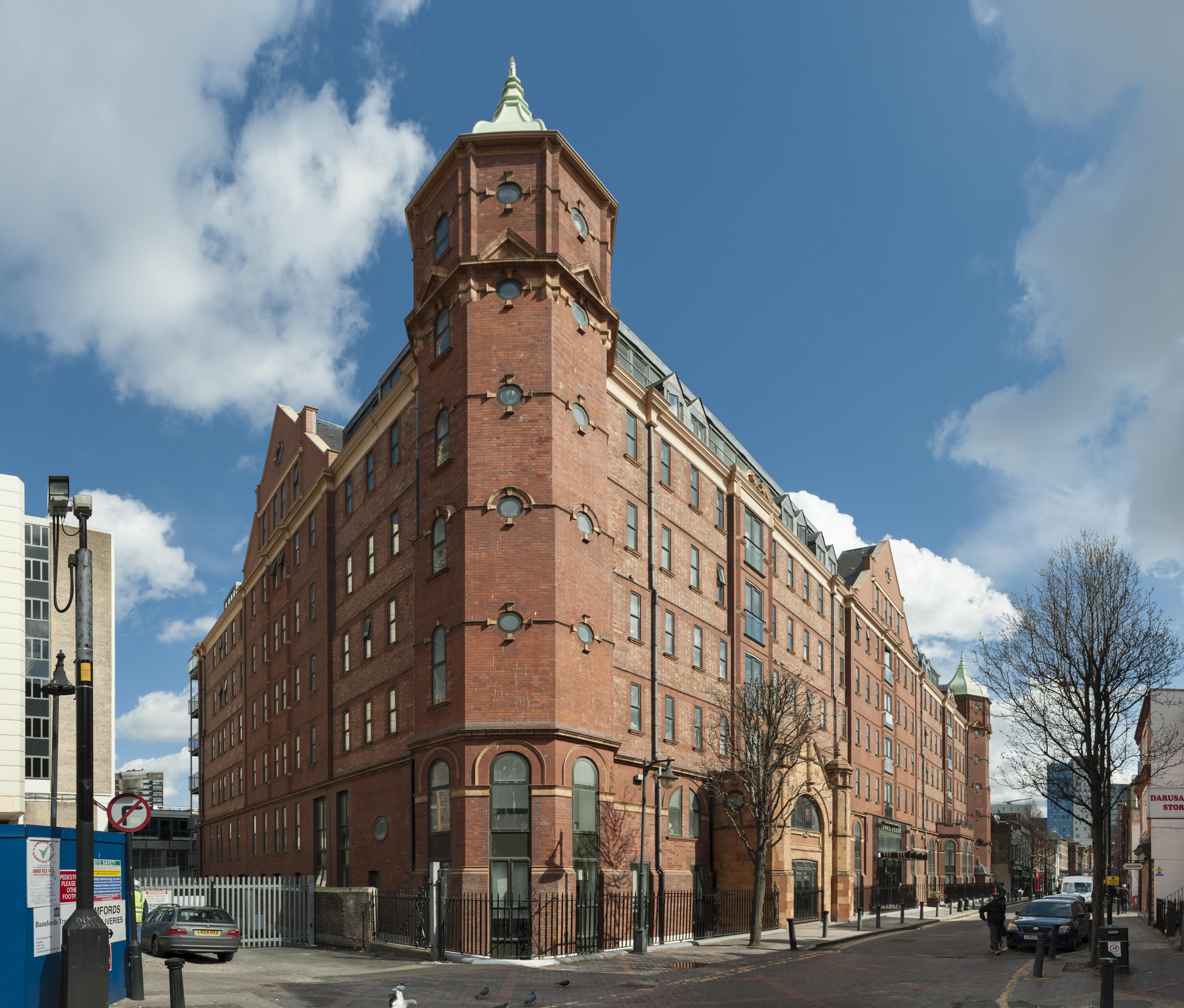
{
"id": 346,
"title": "Tower House from the south-west in 2016",
"author": {
"id": 27,
"username": "DerekKendall"
},
"feature": {
"id": 839,
"type": "Feature",
"geometry": {
"type": "MultiPolygon",
"coordinates": [
[
[
[
-0.064497563558549,
51.517361628803805
],
[
-0.064496408109862,
51.51736309395909
],
[
-0.064348901589247,
51.517381493231476
],
[
-0.064343975983599,
51.51736612215419
],
[
-0.064054660314112,
51.517402209452214
],
[
-0.064059058880887,
51.517415936099994
],
[
-0.063880964779871,
51.51743814997979
],
[
-0.063877096358366,
51.517426077614196
],
[
-0.063528073193922,
51.517469610821024
],
[
-0.063478650874795,
51.517449375087956
],
[
-0.063465163734058,
51.51737222076246
],
[
-0.063672133997618,
51.51734725578329
],
[
-0.063667407479579,
51.51723290068993
],
[
-0.063724830703042,
51.51723384881843
],
[
-0.063725147296712,
51.517226384957326
],
[
-0.063667724082622,
51.517225436829115
],
[
-0.063646330595039,
51.51716533088115
],
[
-0.06369299365168,
51.51713771882066
],
[
-0.063728249907456,
51.517153239118066
],
[
-0.063773509194633,
51.517148149709364
],
[
-0.063793395289669,
51.517131845319966
],
[
-0.063867317624302,
51.51712375146289
],
[
-0.063900994386595,
51.517134287085675
],
[
-0.064225680705438,
51.51709706728731
],
[
-0.064219264541115,
51.517072344955054
],
[
-0.064310349325468,
51.51706187287984
],
[
-0.064316793729717,
51.51708593036503
],
[
-0.064372224762903,
51.517078933034306
],
[
-0.064422011504583,
51.51705414924394
],
[
-0.064459090927727,
51.517083143770165
],
[
-0.064448950765029,
51.51709642076694
],
[
-0.064497563558549,
51.517361628803805
]
]
]
]
},
"properties": {
"b_number": "81",
"b_name": "",
"street": "Fieldgate Street",
"address": "Tower House, 81 Fieldgate Street",
"feature_type": "WHITECHAPEL_BUILDING",
"count": 8,
"search_str": "Tower House, 81 Fieldgate Street"
},
"tags": []
},
"file": "https://surveyoflondon.org/media/uploads/features/839/SoL%20Whitechapel100174.jpg",
"description": "",
"copyright": true,
"created": "2016-09-02"
},
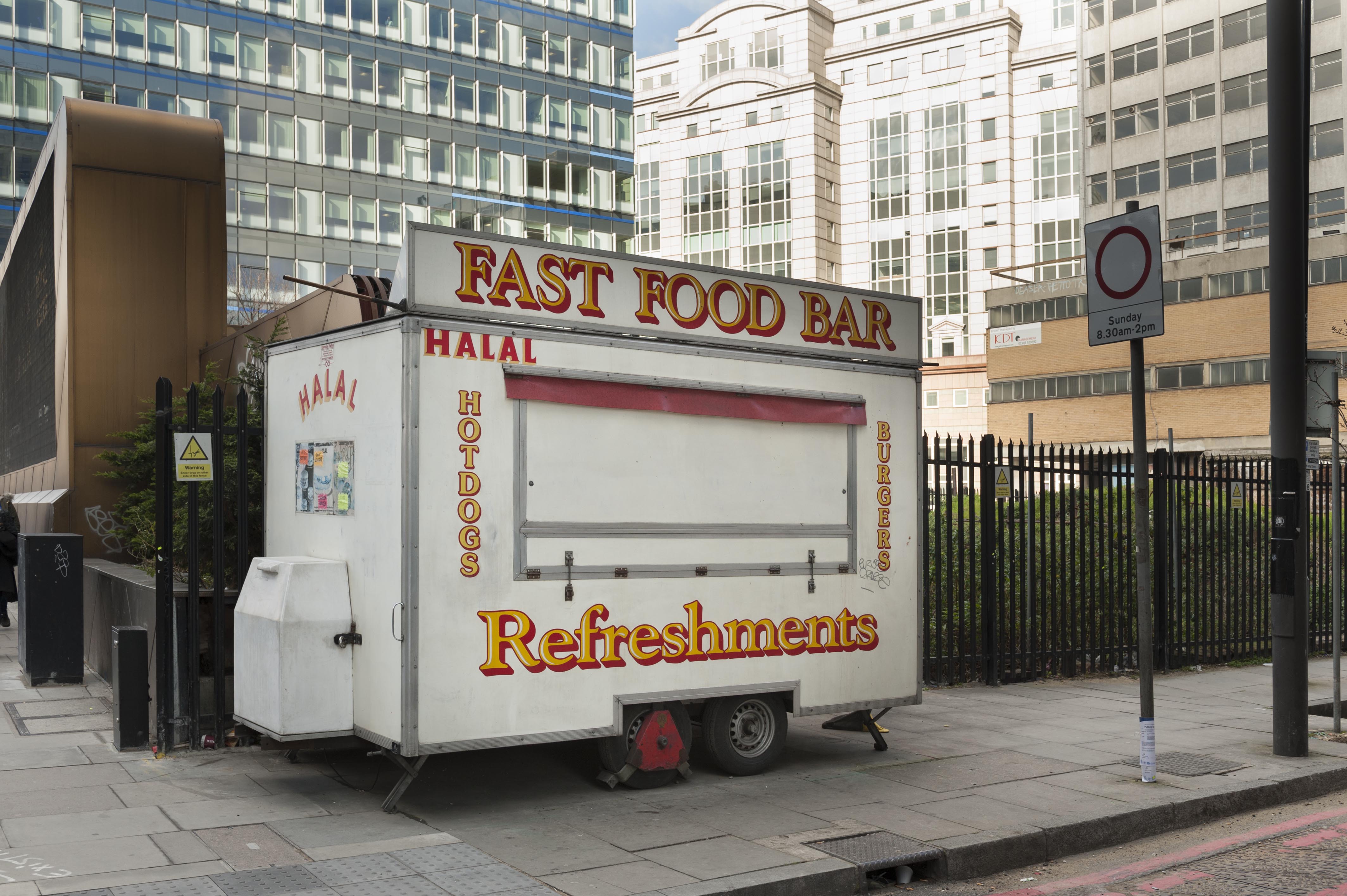
{
"id": 378,
"title": "Refreshments van at corner of Goulston Street and Whitechapel High Street in 2016",
"author": {
"id": 27,
"username": "DerekKendall"
},
"feature": {
"id": 412,
"type": "Feature",
"geometry": {
"type": "MultiPolygon",
"coordinates": [
[
[
[
-0.074012377775073,
51.51467748481298
],
[
-0.073983102664757,
51.51468897957842
],
[
-0.073892347597563,
51.51462748821428
],
[
-0.073737883579577,
51.514681742397556
],
[
-0.07371880686675,
51.51466591527795
],
[
-0.073900376177773,
51.51460205045548
],
[
-0.074012377775073,
51.51467748481298
]
]
]
]
},
"properties": {
"b_number": "141 to 143",
"b_name": "hoarding on site of 141-143 Whitechapel High Street",
"street": "Whitechapel High Street",
"address": "141-143 Whitechapel High Street",
"feature_type": "WHITECHAPEL_BUILDING",
"count": 8,
"search_str": "hoarding on site of 141-143 Whitechapel High Street"
},
"tags": []
},
"file": "https://surveyoflondon.org/media/uploads/features/412/SoL%20Whitechapel100308.jpg",
"description": "",
"copyright": true,
"created": "2016-09-13"
},
{
"id": 273,
"title": "Outpatients Annexe from the south-east in 2016",
"author": {
"id": 27,
"username": "DerekKendall"
},
"feature": {
"id": 1169,
"type": "Feature",
"geometry": {
"type": "MultiPolygon",
"coordinates": [
[
[
[
-0.062456463541029,
51.51763155109922
],
[
-0.062233002466947,
51.51765074567982
],
[
-0.062215365478867,
51.517640218152785
],
[
-0.062185351637145,
51.51750050340947
],
[
-0.062104804724637,
51.51750741228653
],
[
-0.062099269211858,
51.51748320021078
],
[
-0.062178566598708,
51.51747597203999
],
[
-0.062145354927392,
51.517326007800555
],
[
-0.062155816070435,
51.51731674635259
],
[
-0.062378476416372,
51.51729783557244
],
[
-0.062395826510099,
51.51730486117923
],
[
-0.062467696087621,
51.51761902734175
],
[
-0.062456463541029,
51.51763155109922
]
]
]
]
},
"properties": {
"b_number": "",
"b_name": "",
"street": "New Road",
"address": "Outpatients Annexe",
"feature_type": "WHITECHAPEL_BUILDING",
"count": 8,
"search_str": "Outpatients Annexe"
},
"tags": []
},
"file": "https://surveyoflondon.org/media/uploads/features/1169/SoL%20Whitechapel100128.jpg",
"description": "",
"copyright": true,
"created": "2016-08-17"
},
{
"id": 274,
"title": "West elevation of the Outpatients Annexe in 2016",
"author": {
"id": 27,
"username": "DerekKendall"
},
"feature": {
"id": 1169,
"type": "Feature",
"geometry": {
"type": "MultiPolygon",
"coordinates": [
[
[
[
-0.062456463541029,
51.51763155109922
],
[
-0.062233002466947,
51.51765074567982
],
[
-0.062215365478867,
51.517640218152785
],
[
-0.062185351637145,
51.51750050340947
],
[
-0.062104804724637,
51.51750741228653
],
[
-0.062099269211858,
51.51748320021078
],
[
-0.062178566598708,
51.51747597203999
],
[
-0.062145354927392,
51.517326007800555
],
[
-0.062155816070435,
51.51731674635259
],
[
-0.062378476416372,
51.51729783557244
],
[
-0.062395826510099,
51.51730486117923
],
[
-0.062467696087621,
51.51761902734175
],
[
-0.062456463541029,
51.51763155109922
]
]
]
]
},
"properties": {
"b_number": "",
"b_name": "",
"street": "New Road",
"address": "Outpatients Annexe",
"feature_type": "WHITECHAPEL_BUILDING",
"count": 8,
"search_str": "Outpatients Annexe"
},
"tags": []
},
"file": "https://surveyoflondon.org/media/uploads/features/1169/SoL%20Whitechapel100121.jpg",
"description": "",
"copyright": true,
"created": "2016-08-17"
},
{
"id": 275,
"title": "West elevation of the Outpatients Annexe in 2016",
"author": {
"id": 27,
"username": "DerekKendall"
},
"feature": {
"id": 1169,
"type": "Feature",
"geometry": {
"type": "MultiPolygon",
"coordinates": [
[
[
[
-0.062456463541029,
51.51763155109922
],
[
-0.062233002466947,
51.51765074567982
],
[
-0.062215365478867,
51.517640218152785
],
[
-0.062185351637145,
51.51750050340947
],
[
-0.062104804724637,
51.51750741228653
],
[
-0.062099269211858,
51.51748320021078
],
[
-0.062178566598708,
51.51747597203999
],
[
-0.062145354927392,
51.517326007800555
],
[
-0.062155816070435,
51.51731674635259
],
[
-0.062378476416372,
51.51729783557244
],
[
-0.062395826510099,
51.51730486117923
],
[
-0.062467696087621,
51.51761902734175
],
[
-0.062456463541029,
51.51763155109922
]
]
]
]
},
"properties": {
"b_number": "",
"b_name": "",
"street": "New Road",
"address": "Outpatients Annexe",
"feature_type": "WHITECHAPEL_BUILDING",
"count": 8,
"search_str": "Outpatients Annexe"
},
"tags": []
},
"file": "https://surveyoflondon.org/media/uploads/features/1169/SoL%20Whitechapel100123.jpg",
"description": "",
"copyright": true,
"created": "2016-08-17"
},
{
"id": 532,
"title": "Borehole, December 2012",
"author": {
"id": 118,
"username": "david2"
},
"feature": {
"id": 1467,
"type": "Feature",
"geometry": {
"type": "MultiPolygon",
"coordinates": [
[
[
[
-0.063637365155788,
51.520282636147805
],
[
-0.063617921903998,
51.52019999107146
],
[
-0.063638954996299,
51.520155000479626
],
[
-0.063284069057324,
51.51963968568205
],
[
-0.063218192990573,
51.519614735713624
],
[
-0.063063889912999,
51.51964559416041
],
[
-0.062380927282911,
51.51983117403429
],
[
-0.062339901924133,
51.51986928060906
],
[
-0.06243109703064,
51.52030321498713
],
[
-0.062463971180122,
51.520352738646885
],
[
-0.062533670101397,
51.520377752188836
],
[
-0.062893667600007,
51.520366995627946
],
[
-0.063637365155788,
51.520282636147805
]
]
]
]
},
"properties": {
"b_number": "",
"b_name": "",
"street": "",
"address": "Vallance Gardens, Vallance Road",
"feature_type": "OPEN_SPACE",
"count": 5,
"search_str": "Vallance Gardens, Vallance Road"
},
"tags": []
},
"file": "https://surveyoflondon.org/media/uploads/features/1467/BH%20PW7_4thDEC2012%20VallanceGdns_LookingWest.JPG",
"description": "This photograph shows monitoring boreholes in Vallance Gardens, in case they disturb human remains. In the event, only a few bones that had already been disturbed were found by my colleague Sam Pfizenmaier... it was a cold winter and we continued through the snow.",
"copyright": false,
"created": "2017-04-01"
},
{
"id": 395,
"title": "109-117 Backchurch Lane in 2016",
"author": {
"id": 27,
"username": "DerekKendall"
},
"feature": {
"id": 1043,
"type": "Feature",
"geometry": {
"type": "MultiPolygon",
"coordinates": [
[
[
[
-0.067194408969612,
51.51346797220098
],
[
-0.06705826041825,
51.513421001790306
],
[
-0.067096613002368,
51.51337753939383
],
[
-0.067234496880116,
51.5134251084647
],
[
-0.067194408969612,
51.51346797220098
]
]
]
]
},
"properties": {
"b_number": "111",
"b_name": "111 Back Church Lane",
"street": "Back Church Lane",
"address": "111 Back Church Lane",
"feature_type": "WHITECHAPEL_BUILDING",
"count": 2,
"search_str": "111 Back Church Lane"
},
"tags": []
},
"file": "https://surveyoflondon.org/media/uploads/features/1043/SoL%20Whitechapel100424.jpg",
"description": "",
"copyright": true,
"created": "2016-09-13"
},
{
"id": 337,
"title": "55-61 New Road in 2016",
"author": {
"id": 27,
"username": "DerekKendall"
},
"feature": {
"id": 821,
"type": "Feature",
"geometry": {
"type": "MultiPolygon",
"coordinates": [
[
[
[
-0.062517507450894,
51.51634384703358
],
[
-0.062390537344024,
51.516356187184805
],
[
-0.062346219677177,
51.5161624962619
],
[
-0.062470666583065,
51.516151333412196
],
[
-0.062517507450894,
51.51634384703358
]
]
]
]
},
"properties": {
"b_number": "55-61",
"b_name": "",
"street": "New Road",
"address": "55-61 New Road",
"feature_type": "WHITECHAPEL_BUILDING",
"count": 2,
"search_str": "55-61 New Road"
},
"tags": []
},
"file": "https://surveyoflondon.org/media/uploads/features/821/SoL%20Whitechapel100164.jpg",
"description": "",
"copyright": true,
"created": "2016-09-02"
},
{
"id": 336,
"title": "63-65 New Road in 2016",
"author": {
"id": 27,
"username": "DerekKendall"
},
"feature": {
"id": 819,
"type": "Feature",
"geometry": {
"type": "MultiPolygon",
"coordinates": [
[
[
[
-0.062528673202994,
51.516392646272365
],
[
-0.062401702862409,
51.51640498622399
],
[
-0.062390537344024,
51.516356187184805
],
[
-0.062517507450883,
51.516343847033596
],
[
-0.062528673202994,
51.516392646272365
]
]
]
]
},
"properties": {
"b_number": "63",
"b_name": "",
"street": "New Road",
"address": "63 New Road",
"feature_type": "WHITECHAPEL_BUILDING",
"count": 1,
"search_str": "63 New Road"
},
"tags": []
},
"file": "https://surveyoflondon.org/media/uploads/features/819/SoL%20Whitechapel100162.jpg",
"description": "",
"copyright": true,
"created": "2016-09-02"
}
]
}