HTTP 200 OK
Allow: GET, HEAD, OPTIONS
Content-Type: application/json
Vary: Accept
{
"count": 1747,
"next": "https://surveyoflondon.org/api/v1/images/?format=api&page=23",
"previous": "https://surveyoflondon.org/api/v1/images/?format=api&page=21",
"results": [
{
"id": 747,
"title": "Whitechapel Fire Station",
"author": {
"id": 2,
"username": "surveyoflondon"
},
"feature": {
"id": 101,
"type": "Feature",
"geometry": {
"type": "MultiPolygon",
"coordinates": [
[
[
[
-0.069645462493737,
51.515142463727784
],
[
-0.069222888876109,
51.51529835788027
],
[
-0.069232652835499,
51.51526035048273
],
[
-0.069278826604558,
51.51522930389526
],
[
-0.06930377951036,
51.515073225280084
],
[
-0.069647827894883,
51.515086522706206
],
[
-0.069645462493737,
51.515142463727784
]
]
]
]
},
"properties": {
"b_number": "",
"b_name": "Whitechapel Fire Station",
"street": "Manningtree Street",
"address": "Whitechapel Fire Station, Manningtree Street",
"feature_type": "WHITECHAPEL_BUILDING",
"count": 9,
"search_str": "Whitechapel Fire Station"
},
"tags": [
"fire station"
]
},
"file": "https://surveyoflondon.org/media/uploads/features/101/The%20fire%20Station%202%20final%20(2).jpg",
"description": " ground and first floor plans as in 1975 (drawing by Helen Jones)",
"copyright": true,
"created": "2017-08-31"
},
{
"id": 160,
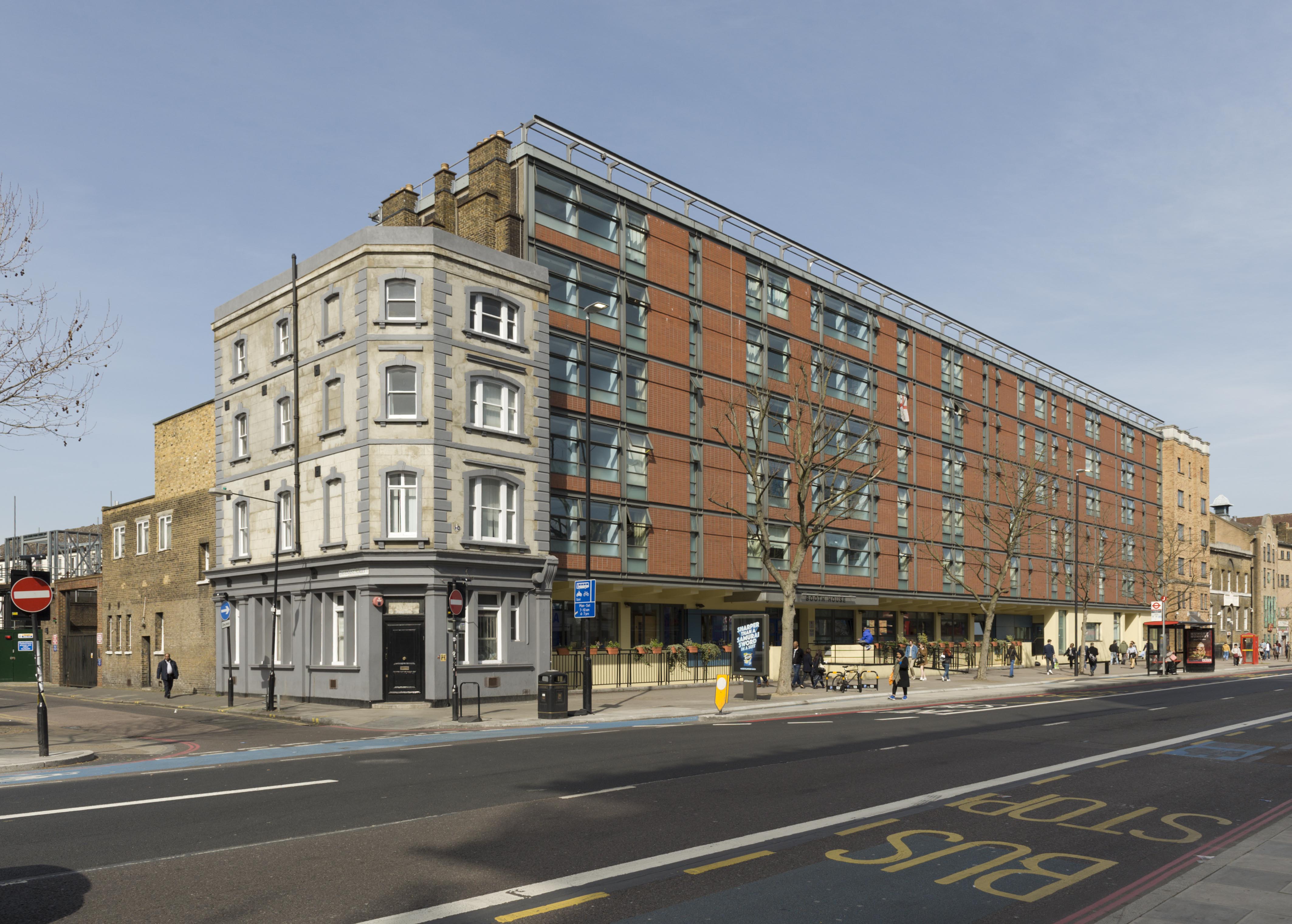
"title": "Booth House, 153-175 Whitechapel Road in 2016",
"author": {
"id": 27,
"username": "DerekKendall"
},
"feature": {
"id": 450,
"type": "Feature",
"geometry": {
"type": "MultiPolygon",
"coordinates": [
[
[
[
-0.06422467000739,
51.518346425966705
],
[
-0.064139252358071,
51.51823673198003
],
[
-0.064997420852945,
51.517989190075504
],
[
-0.0651153549591,
51.518130611865764
],
[
-0.064956150003001,
51.51818228882907
],
[
-0.064990282669364,
51.5182232193261
],
[
-0.065063417463012,
51.51819948025257
],
[
-0.065101653907018,
51.51821773688781
],
[
-0.065149886157321,
51.51820679241602
],
[
-0.065172150569598,
51.51822793096113
],
[
-0.065030278151488,
51.51828609418926
],
[
-0.065034717345609,
51.51829429875206
],
[
-0.064978831572075,
51.51831505095174
],
[
-0.064993421041809,
51.518330343879306
],
[
-0.064935985894424,
51.518351671366084
],
[
-0.06489721449686,
51.51832815376979
],
[
-0.064728837166118,
51.51837323938369
],
[
-0.064694480256407,
51.518323296408646
],
[
-0.064727496238737,
51.51831445590029
],
[
-0.06472184898472,
51.51829907016839
],
[
-0.064849379298623,
51.51826143841198
],
[
-0.064826127797126,
51.51823076770363
],
[
-0.06464735730232,
51.51828351939426
],
[
-0.064591894192196,
51.51821035827098
],
[
-0.064280190592886,
51.518302334954846
],
[
-0.064299380272455,
51.51832550478737
],
[
-0.06422467000739,
51.518346425966705
]
]
]
]
},
"properties": {
"b_number": "153-175",
"b_name": "Booth House",
"street": "Whitechapel Road",
"address": "Booth House (Salvation Army Lifehouse), 153-175 Whitechapel Road",
"feature_type": "WHITECHAPEL_BUILDING",
"count": 5,
"search_str": "Booth House"
},
"tags": []
},
"file": "https://surveyoflondon.org/media/uploads/features/450/SoL%20Whitechapel100262.jpg",
"description": "",
"copyright": true,
"created": "2016-07-22"
},
{
"id": 1103,
"title": "Café",
"author": {
"id": 209,
"username": "f.ciufo"
},
"feature": {
"id": 518,
"type": "Feature",
"geometry": {
"type": "MultiPolygon",
"coordinates": [
[
[
[
-0.058265578249493,
51.51997368190386
],
[
-0.057870681883353,
51.520069776330836
],
[
-0.057795852846717,
51.519925640296286
],
[
-0.057754684632276,
51.51993713160212
],
[
-0.057648441439835,
51.519761149535064
],
[
-0.05807295251591,
51.51962908276924
],
[
-0.058265578249493,
51.51997368190386
]
]
]
]
},
"properties": {
"b_number": "321",
"b_name": "Whitechapel Idea Store",
"street": "Whitechapel Road",
"address": "Whitechapel Idea Store, 321 Whitechapel Road",
"feature_type": "WHITECHAPEL_BUILDING",
"count": 15,
"search_str": "Whitechapel Idea Store"
},
"tags": [
"David Adjaye",
"James Edmeston",
"John Samuel Hayward"
]
},
"file": "https://surveyoflondon.org/media/uploads/features/518/IMG_8505.jpg",
"description": "",
"copyright": true,
"created": "2018-01-27"
},
{
"id": 200,
"title": "261-267 Whitechapel Road in 2016",
"author": {
"id": 27,
"username": "DerekKendall"
},
"feature": {
"id": 492,
"type": "Feature",
"geometry": {
"type": "MultiPolygon",
"coordinates": [
[
[
[
-0.060403279664518,
51.51930247737293
],
[
-0.060301507160973,
51.51915965550755
],
[
-0.060361409790916,
51.519146122160706
],
[
-0.060459680582034,
51.519288003680906
],
[
-0.060403279664518,
51.51930247737293
]
]
]
]
},
"properties": {
"b_number": "261",
"b_name": "",
"street": "Whitechapel Road",
"address": "261 Whitechapel Road",
"feature_type": "WHITECHAPEL_BUILDING",
"count": 3,
"search_str": "261 Whitechapel Road"
},
"tags": []
},
"file": "https://surveyoflondon.org/media/uploads/features/492/SoL%20Whitechapel100012.jpg",
"description": "",
"copyright": true,
"created": "2016-07-28"
},
{
"id": 762,
"title": "In context",
"author": {
"id": 27,
"username": "DerekKendall"
},
"feature": {
"id": 1402,
"type": "Feature",
"geometry": {
"type": "MultiPolygon",
"coordinates": [
[
[
[
-0.07186475821719,
51.513200106555054
],
[
-0.071803818959308,
51.51321795182727
],
[
-0.071716346326456,
51.51324493227947
],
[
-0.071679843692217,
51.51320581999659
],
[
-0.071619054706025,
51.51312934605446
],
[
-0.071769805434075,
51.51308311975936
],
[
-0.07186475821719,
51.513200106555054
]
]
]
]
},
"properties": {
"b_number": "12",
"b_name": "Symons House, 12 North Tenter Street",
"street": "North Tenter Street",
"address": "Symons House, 12 North Tenter Street",
"feature_type": "WHITECHAPEL_BUILDING",
"count": 3,
"search_str": "Symons House, 12 North Tenter Street"
},
"tags": []
},
"file": "https://surveyoflondon.org/media/uploads/features/1402/SoL%20Whitechapel%20101251.jpg",
"description": "",
"copyright": true,
"created": "2017-09-12"
},
{
"id": 148,
"title": "8-10 North Tenter Street",
"author": {
"id": 27,
"username": "DerekKendall"
},
"feature": {
"id": 42,
"type": "Feature",
"geometry": {
"type": "MultiPolygon",
"coordinates": [
[
[
[
-0.071601309427403,
51.513234025942786
],
[
-0.071533871561049,
51.51315267451502
],
[
-0.071619054706025,
51.51312934605446
],
[
-0.071679843692217,
51.51320581999659
],
[
-0.071601309427403,
51.513234025942786
]
]
]
]
},
"properties": {
"b_number": "10",
"b_name": "10 North Tenter Street",
"street": "North Tenter Street",
"address": "10 North Tenter Street",
"feature_type": "WHITECHAPEL_BUILDING",
"count": 4,
"search_str": "10 North Tenter Street"
},
"tags": []
},
"file": "https://surveyoflondon.org/media/uploads/features/42/SoL%20Whitechapel100347.jpg",
"description": "",
"copyright": true,
"created": "2016-07-19"
},
{
"id": 763,
"title": "Looking north east, August 2017",
"author": {
"id": 27,
"username": "DerekKendall"
},
"feature": {
"id": 42,
"type": "Feature",
"geometry": {
"type": "MultiPolygon",
"coordinates": [
[
[
[
-0.071601309427403,
51.513234025942786
],
[
-0.071533871561049,
51.51315267451502
],
[
-0.071619054706025,
51.51312934605446
],
[
-0.071679843692217,
51.51320581999659
],
[
-0.071601309427403,
51.513234025942786
]
]
]
]
},
"properties": {
"b_number": "10",
"b_name": "10 North Tenter Street",
"street": "North Tenter Street",
"address": "10 North Tenter Street",
"feature_type": "WHITECHAPEL_BUILDING",
"count": 4,
"search_str": "10 North Tenter Street"
},
"tags": []
},
"file": "https://surveyoflondon.org/media/uploads/features/42/SoL%20Whitechapel%20101253.jpg",
"description": "",
"copyright": true,
"created": "2017-09-12"
},
{
"id": 149,
"title": "1 North Tenter Street",
"author": {
"id": 27,
"username": "DerekKendall"
},
"feature": {
"id": 19,
"type": "Feature",
"geometry": {
"type": "MultiPolygon",
"coordinates": [
[
[
[
-0.071238522397017,
51.51316215405047
],
[
-0.071016970506632,
51.513217134136646
],
[
-0.070790832899726,
51.51293592596811
],
[
-0.071200657537814,
51.512872318283186
],
[
-0.071238522397017,
51.51316215405047
]
]
]
]
},
"properties": {
"b_number": "1",
"b_name": "Zetland House",
"street": "North Tenter Street",
"address": "Zetland House, 1 North Tenter Street",
"feature_type": "WHITECHAPEL_BUILDING",
"count": 2,
"search_str": "Zetland House"
},
"tags": []
},
"file": "https://surveyoflondon.org/media/uploads/features/19/SoL%20Whitechapel100352.jpg",
"description": "",
"copyright": true,
"created": "2016-07-19"
},
{
"id": 145,
"title": "Rear of 30 Alie Street",
"author": {
"id": 27,
"username": "DerekKendall"
},
"feature": {
"id": 70,
"type": "Feature",
"geometry": {
"type": "MultiPolygon",
"coordinates": [
[
[
[
-0.071373292361103,
51.513560352468396
],
[
-0.071151831464676,
51.51328688620648
],
[
-0.071239294121326,
51.51326237373562
],
[
-0.071456823273084,
51.51353194403738
],
[
-0.071373292361103,
51.513560352468396
]
]
]
]
},
"properties": {
"b_number": "30",
"b_name": "",
"street": "Alie Street",
"address": "30 Alie Street",
"feature_type": "WHITECHAPEL_BUILDING",
"count": 3,
"search_str": "30 Alie Street"
},
"tags": []
},
"file": "https://surveyoflondon.org/media/uploads/features/70/SoL%20Whitechapel100343.jpg",
"description": "",
"copyright": true,
"created": "2016-07-19"
},
{
"id": 21,
"title": "5 St Mark Street",
"author": {
"id": 27,
"username": "DerekKendall"
},
"feature": {
"id": 11,
"type": "Feature",
"geometry": {
"type": "MultiPolygon",
"coordinates": [
[
[
[
-0.071365043836625,
51.51331492529069
],
[
-0.071299105571442,
51.51333631894639
],
[
-0.071239294121326,
51.51326237373562
],
[
-0.071307879274171,
51.51324170470692
],
[
-0.071365043836625,
51.51331492529069
]
]
]
]
},
"properties": {
"b_number": "5",
"b_name": "",
"street": "St Mark Street",
"address": "5 St Mark Street",
"feature_type": "WHITECHAPEL_BUILDING",
"count": 2,
"search_str": "5 St Mark Street"
},
"tags": []
},
"file": "https://surveyoflondon.org/media/uploads/features/11/SoL-Whitechapel100342_XYj5uVi.jpg",
"description": "5 Mark Street",
"copyright": true,
"created": null
},
{
"id": 152,
"title": "Central House",
"author": {
"id": 27,
"username": "DerekKendall"
},
"feature": {
"id": 13,
"type": "Feature",
"geometry": {
"type": "MultiPolygon",
"coordinates": [
[
[
[
-0.070300598211778,
51.51553175369474
],
[
-0.069909685041584,
51.51566601870094
],
[
-0.069762598214758,
51.51551508304666
],
[
-0.06980073408505,
51.51550203175569
],
[
-0.069734850402611,
51.515430598241764
],
[
-0.0696935021834,
51.515445550776434
],
[
-0.069553336995274,
51.515279095645894
],
[
-0.069960309630875,
51.51513532543541
],
[
-0.070300598211778,
51.51553175369474
]
]
]
]
},
"properties": {
"b_number": "59-63",
"b_name": "Central House, London Metropolitan University",
"street": "Whitechapel High Street",
"address": "Central House, 59-63 Whitechapel High Street",
"feature_type": "WHITECHAPEL_BUILDING",
"count": 18,
"search_str": "Central House, London Metropolitan University"
},
"tags": []
},
"file": "https://surveyoflondon.org/media/uploads/features/13/SoL%20Whitechapel100366_181LIB8.jpg",
"description": "",
"copyright": true,
"created": "2016-07-19"
},
{
"id": 100,
"title": "The Royal London Hospital, view of the former entrance porch in 2016",
"author": {
"id": 27,
"username": "DerekKendall"
},
"feature": {
"id": 1230,
"type": "Feature",
"geometry": {
"type": "MultiPolygon",
"coordinates": [
[
[
[
-0.06071898744648,
51.51847914149303
],
[
-0.060743358937849,
51.518529899918775
],
[
-0.060362148562617,
51.518618013153
],
[
-0.060404024127419,
51.51868851949335
],
[
-0.060356952993906,
51.51869974522794
],
[
-0.060399234817198,
51.51877056309998
],
[
-0.060042469531136,
51.5188530372297
],
[
-0.060006551123239,
51.51879256032364
],
[
-0.05997171006068,
51.51880061452483
],
[
-0.059923949522789,
51.51872019830377
],
[
-0.059602716389847,
51.51879445706454
],
[
-0.059631951693606,
51.51884368227145
],
[
-0.059135089420495,
51.51895853862307
],
[
-0.059031394281591,
51.51878393727422
],
[
-0.059075483581288,
51.51877374555587
],
[
-0.05923306113512,
51.518737319626666
],
[
-0.059261815633844,
51.518785736083466
],
[
-0.059453095208379,
51.51874286661955
],
[
-0.059437777096903,
51.51871791341666
],
[
-0.059509844762857,
51.518701022201654
],
[
-0.059472510825189,
51.51863713193043
],
[
-0.059893693119402,
51.51853565124978
],
[
-0.059897251108141,
51.51854177905041
],
[
-0.060406197614306,
51.5184267554985
],
[
-0.060388475186227,
51.51839623334771
],
[
-0.060226549751936,
51.51811735804654
],
[
-0.060490662909997,
51.51805857683586
],
[
-0.060500593175314,
51.518078725457706
],
[
-0.06071898744648,
51.51847914149303
]
]
]
]
},
"properties": {
"b_number": "",
"b_name": "Former Royal London Hospital",
"street": "",
"address": "Former Royal London Hospital ",
"feature_type": "WHITECHAPEL_BUILDING",
"count": 53,
"search_str": "Former Royal London Hospital"
},
"tags": []
},
"file": "https://surveyoflondon.org/media/uploads/features/1230/_SAN2208P.jpg",
"description": "",
"copyright": true,
"created": "2016-06-29"
},
{
"id": 75,
"title": "East London Mail Centre and E1 Delivery Office from the south-east, 2016",
"author": {
"id": 27,
"username": "DerekKendall"
},
"feature": {
"id": 1227,
"type": "Feature",
"geometry": {
"type": "MultiPolygon",
"coordinates": [
[
[
[
-0.058796596412285,
51.51912310433929
],
[
-0.057896913703648,
51.51929776742821
],
[
-0.057646155790783,
51.51878891291734
],
[
-0.057726960269829,
51.518773414154225
],
[
-0.057663251646104,
51.51864413103036
],
[
-0.058003630287349,
51.51857884372657
],
[
-0.058058858263524,
51.51869091551577
],
[
-0.058183402152667,
51.518667026720365
],
[
-0.058192757854339,
51.51868601168758
],
[
-0.058228318266828,
51.5186791908066
],
[
-0.058378536493976,
51.518984017000164
],
[
-0.058419330251411,
51.51897619228836
],
[
-0.058450444692009,
51.51903932977383
],
[
-0.05871794555232,
51.51898801961153
],
[
-0.058796596412285,
51.51912310433929
]
]
]
]
},
"properties": {
"b_number": "180–206",
"b_name": "East London Mail Centre and E1 Delivery Office",
"street": "Whitechapel Road",
"address": "East London Mail Centre and E1 Delivery Office",
"feature_type": "WHITECHAPEL_BUILDING",
"count": 14,
"search_str": "East London Mail Centre and E1 Delivery Office"
},
"tags": []
},
"file": "https://surveyoflondon.org/media/uploads/features/1227/SoL%20Whitechapel100041_PAfcdH2.jpg",
"description": "",
"copyright": true,
"created": "2016-06-23"
},
{
"id": 202,
"title": "261-267 Whitechapel Road in 2016",
"author": {
"id": 27,
"username": "DerekKendall"
},
"feature": {
"id": 494,
"type": "Feature",
"geometry": {
"type": "MultiPolygon",
"coordinates": [
[
[
[
-0.060251837714749,
51.519317343249824
],
[
-0.060165411787242,
51.519190402358625
],
[
-0.060238726288127,
51.519173839072245
],
[
-0.06028924014634,
51.51924555561384
],
[
-0.060268093215861,
51.51925097618777
],
[
-0.060398005074838,
51.51944324570046
],
[
-0.060283974910042,
51.51947265814605
],
[
-0.060210245560487,
51.519357672502494
],
[
-0.060257849352005,
51.51934639671303
],
[
-0.060244556996051,
51.519319571781445
],
[
-0.060251837714749,
51.519317343249824
]
]
]
]
},
"properties": {
"b_number": "265",
"b_name": "",
"street": "Whitechapel Road",
"address": "265 Whitechapel Road",
"feature_type": "WHITECHAPEL_BUILDING",
"count": 5,
"search_str": "265 Whitechapel Road"
},
"tags": []
},
"file": "https://surveyoflondon.org/media/uploads/features/494/SoL%20Whitechapel100012.jpg",
"description": "",
"copyright": true,
"created": "2016-07-28"
},
{
"id": 203,
"title": "255-271 Whitechapel Road in 2016",
"author": {
"id": 27,
"username": "DerekKendall"
},
"feature": {
"id": 494,
"type": "Feature",
"geometry": {
"type": "MultiPolygon",
"coordinates": [
[
[
[
-0.060251837714749,
51.519317343249824
],
[
-0.060165411787242,
51.519190402358625
],
[
-0.060238726288127,
51.519173839072245
],
[
-0.06028924014634,
51.51924555561384
],
[
-0.060268093215861,
51.51925097618777
],
[
-0.060398005074838,
51.51944324570046
],
[
-0.060283974910042,
51.51947265814605
],
[
-0.060210245560487,
51.519357672502494
],
[
-0.060257849352005,
51.51934639671303
],
[
-0.060244556996051,
51.519319571781445
],
[
-0.060251837714749,
51.519317343249824
]
]
]
]
},
"properties": {
"b_number": "265",
"b_name": "",
"street": "Whitechapel Road",
"address": "265 Whitechapel Road",
"feature_type": "WHITECHAPEL_BUILDING",
"count": 5,
"search_str": "265 Whitechapel Road"
},
"tags": []
},
"file": "https://surveyoflondon.org/media/uploads/features/494/SoL%20Whitechapel100007.jpg",
"description": "",
"copyright": true,
"created": "2016-07-28"
},
{
"id": 1343,
"title": "101 Greenfield Road in July 2018",
"author": {
"id": 27,
"username": "DerekKendall"
},
"feature": {
"id": 960,
"type": "Feature",
"geometry": {
"type": "MultiPolygon",
"coordinates": [
[
[
[
-0.065527274021763,
51.51667028486326
],
[
-0.065748591336706,
51.516654269886985
],
[
-0.065768610986074,
51.51676189800478
],
[
-0.065853762083947,
51.51675700074417
],
[
-0.065874058323807,
51.51689775432515
],
[
-0.065568978017408,
51.516892457263445
],
[
-0.065527274021763,
51.51667028486326
]
]
]
]
},
"properties": {
"b_number": "101",
"b_name": "",
"street": "Greenfield Road",
"address": "101 Greenfield Road",
"feature_type": "WHITECHAPEL_BUILDING",
"count": 3,
"search_str": "101 Greenfield Road"
},
"tags": [
"Davis brothers",
"Lango House",
"synagogue",
"Walter For"
]
},
"file": "https://surveyoflondon.org/media/uploads/features/960/SoL%20Whitechapel%20102185.jpg",
"description": "",
"copyright": true,
"created": "2018-08-17"
},
{
"id": 783,
"title": "Whitechapel Fire Station, view across the roof from the north in 2017",
"author": {
"id": 27,
"username": "DerekKendall"
},
"feature": {
"id": 101,
"type": "Feature",
"geometry": {
"type": "MultiPolygon",
"coordinates": [
[
[
[
-0.069645462493737,
51.515142463727784
],
[
-0.069222888876109,
51.51529835788027
],
[
-0.069232652835499,
51.51526035048273
],
[
-0.069278826604558,
51.51522930389526
],
[
-0.06930377951036,
51.515073225280084
],
[
-0.069647827894883,
51.515086522706206
],
[
-0.069645462493737,
51.515142463727784
]
]
]
]
},
"properties": {
"b_number": "",
"b_name": "Whitechapel Fire Station",
"street": "Manningtree Street",
"address": "Whitechapel Fire Station, Manningtree Street",
"feature_type": "WHITECHAPEL_BUILDING",
"count": 9,
"search_str": "Whitechapel Fire Station"
},
"tags": [
"fire station"
]
},
"file": "https://surveyoflondon.org/media/uploads/features/101/SoL%20Whitechapel%20101379.jpg",
"description": "",
"copyright": true,
"created": "2017-09-12"
},
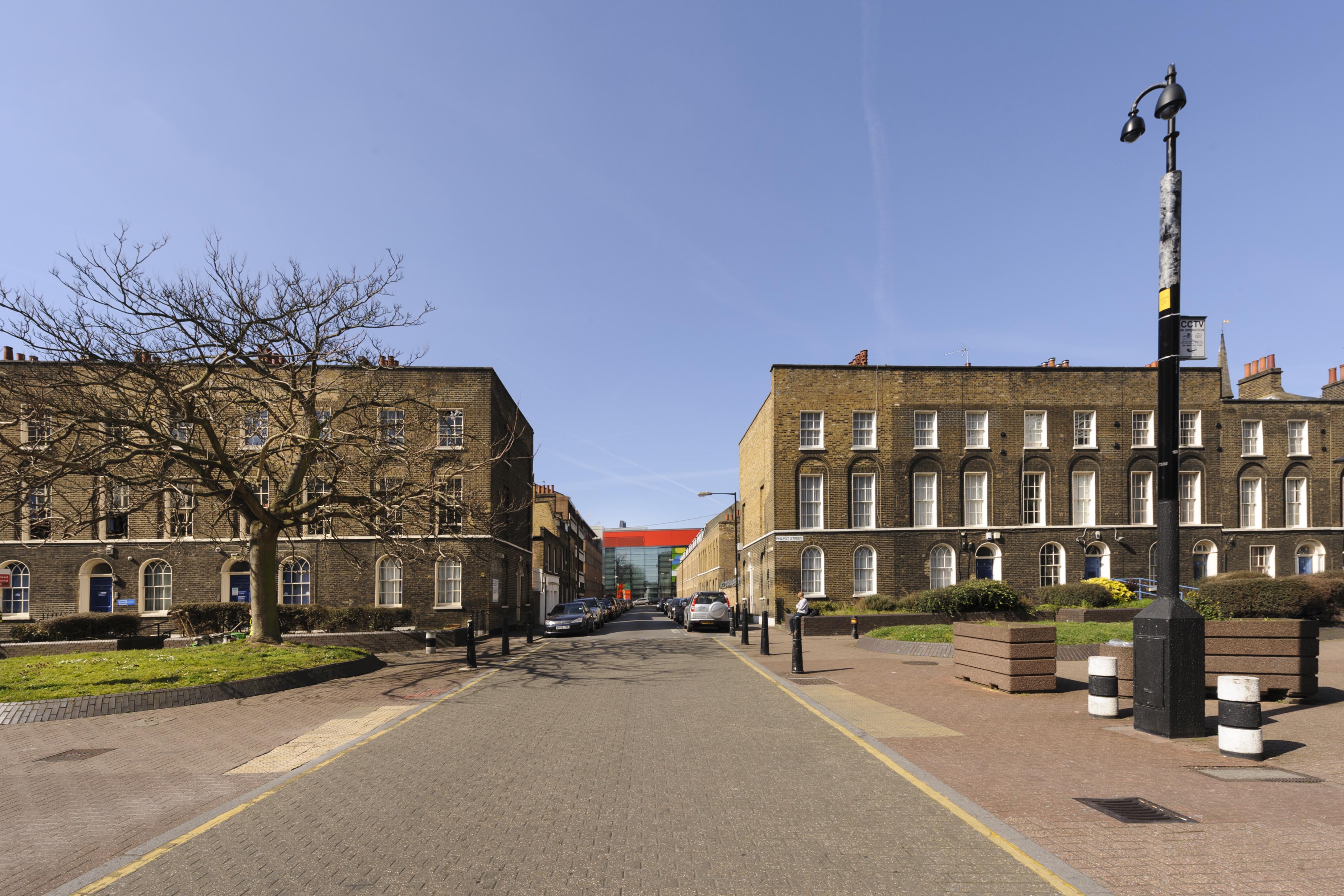
{
"id": 281,
"title": "Early nineteenth-century terraced houses in Philpot Street, 2016",
"author": {
"id": 27,
"username": "DerekKendall"
},
"feature": {
"id": 1068,
"type": "Feature",
"geometry": {
"type": "MultiPolygon",
"coordinates": [
[
[
[
-0.059644111180468,
51.51678108800274
],
[
-0.059518084435081,
51.516793194356374
],
[
-0.059498810252679,
51.51674635816491
],
[
-0.059627888126023,
51.516734849955185
],
[
-0.059644111180468,
51.51678108800274
]
]
]
]
},
"properties": {
"b_number": "59",
"b_name": "",
"street": "",
"address": "59 Philpot Street",
"feature_type": "WHITECHAPEL_BUILDING",
"count": 4,
"search_str": "59 Philpot Street"
},
"tags": []
},
"file": "https://surveyoflondon.org/media/uploads/features/1068/SoL%20Whitechapel100052.jpg",
"description": "",
"copyright": true,
"created": "2016-08-17"
},
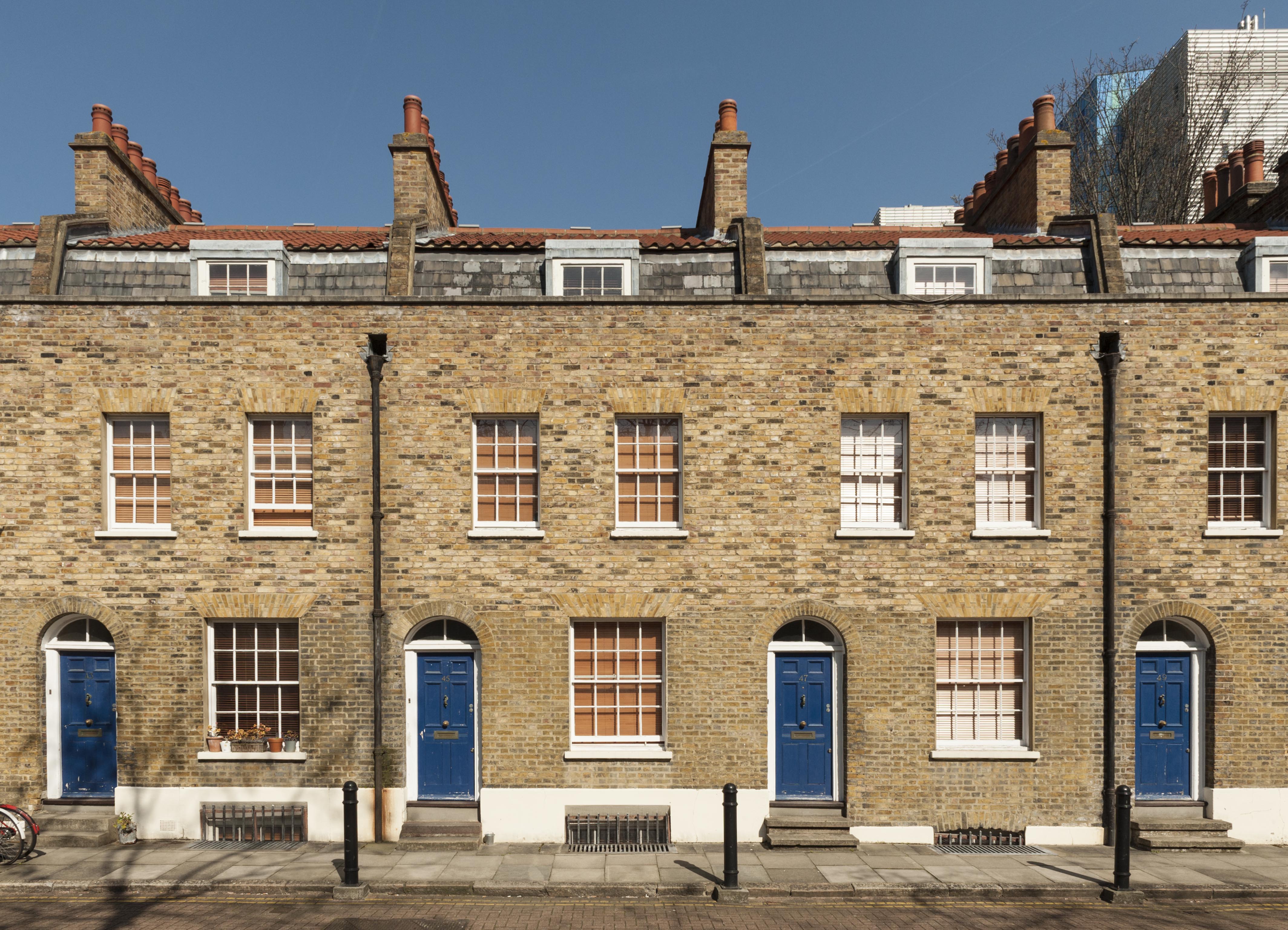
{
"id": 283,
"title": "43-49 Walden Street in 2016",
"author": {
"id": 27,
"username": "DerekKendall"
},
"feature": {
"id": 1083,
"type": "Feature",
"geometry": {
"type": "MultiPolygon",
"coordinates": [
[
[
[
-0.059765232406417,
51.51631810651614
],
[
-0.059749605171254,
51.51625705892572
],
[
-0.059808053571849,
51.516251144438705
],
[
-0.059824094491814,
51.51631236842941
],
[
-0.059765232406417,
51.51631810651614
]
]
]
]
},
"properties": {
"b_number": "43",
"b_name": "",
"street": "",
"address": "43 Walden Street",
"feature_type": "WHITECHAPEL_BUILDING",
"count": 6,
"search_str": "43 Walden Street"
},
"tags": []
},
"file": "https://surveyoflondon.org/media/uploads/features/1083/SoL%20Whitechapel100066_dEtgjbQ.jpg",
"description": "",
"copyright": true,
"created": "2016-08-17"
},
{
"id": 285,
"title": "43-49 Walden Street in 2016",
"author": {
"id": 27,
"username": "DerekKendall"
},
"feature": {
"id": 1085,
"type": "Feature",
"geometry": {
"type": "MultiPolygon",
"coordinates": [
[
[
[
-0.059680478337538,
51.51626405394074
],
[
-0.05969604146523,
51.516324851456936
],
[
-0.059634989221496,
51.5163308029774
],
[
-0.059619482659895,
51.516270226120035
],
[
-0.059680478337538,
51.51626405394074
]
]
]
]
},
"properties": {
"b_number": "47",
"b_name": "",
"street": "",
"address": "47 Walden Street",
"feature_type": "WHITECHAPEL_BUILDING",
"count": 6,
"search_str": "47 Walden Street"
},
"tags": []
},
"file": "https://surveyoflondon.org/media/uploads/features/1085/SoL%20Whitechapel100066_4afX1fs.jpg",
"description": "",
"copyright": true,
"created": "2016-08-17"
}
]
}
.jpg)