HTTP 200 OK
Allow: GET, HEAD, OPTIONS
Content-Type: application/json
Vary: Accept
{
"count": 1747,
"next": "https://surveyoflondon.org/api/v1/images/?format=api&page=20",
"previous": "https://surveyoflondon.org/api/v1/images/?format=api&page=18",
"results": [
{
"id": 90,
"title": "4-14 Whitechapel Road",
"author": {
"id": 27,
"username": "DerekKendall"
},
"feature": {
"id": 307,
"type": "Feature",
"geometry": {
"type": "MultiPolygon",
"coordinates": [
[
[
[
-0.067867860495883,
51.51670407080909
],
[
-0.067749868829072,
51.51660024858242
],
[
-0.067821722887779,
51.5165690655898
],
[
-0.067835512336948,
51.51658146785671
],
[
-0.067912792527021,
51.51654802076472
],
[
-0.068014414418927,
51.5166394132013
],
[
-0.068014406062226,
51.51663941256086
],
[
-0.068015152398358,
51.516640926540106
],
[
-0.067867860495883,
51.51670407080909
]
]
]
]
},
"properties": {
"b_number": "4-8",
"b_name": "",
"street": "Whitechapel Road",
"address": "4-8 Whitechapel Road",
"feature_type": "WHITECHAPEL_BUILDING",
"count": 5,
"search_str": "4-8 Whitechapel Road"
},
"tags": [
"Buck & Hickman",
"Prestige Co Ltd"
]
},
"file": "https://surveyoflondon.org/media/uploads/features/307/SoL%20Whitechapel100257.jpg",
"description": "",
"copyright": true,
"created": "2016-06-27"
},
{
"id": 73,
"title": "29-31A Commercial Road",
"author": {
"id": 27,
"username": "DerekKendall"
},
"feature": {
"id": 292,
"type": "Feature",
"geometry": {
"type": "MultiPolygon",
"coordinates": [
[
[
[
-0.068481018200281,
51.515032955895144
],
[
-0.068491755573131,
51.51508885345113
],
[
-0.068491774631066,
51.515088861036816
],
[
-0.068417192787229,
51.51511498918578
],
[
-0.068417163866567,
51.51511498503746
],
[
-0.068397668552997,
51.51503158302935
],
[
-0.068481018200281,
51.515032955895144
]
]
]
]
},
"properties": {
"b_number": "31",
"b_name": "",
"street": "Commercial Road",
"address": "31 Commercial Road",
"feature_type": "WHITECHAPEL_BUILDING",
"count": 5,
"search_str": "31 Commercial Road"
},
"tags": [
"Herbert O. Ellis",
"Solomon Kirstein"
]
},
"file": "https://surveyoflondon.org/media/uploads/features/292/SoL%20Whitechapel100203.jpg",
"description": "",
"copyright": true,
"created": "2016-06-22"
},
{
"id": 1102,
"title": "Looking to the City of London",
"author": {
"id": 209,
"username": "f.ciufo"
},
"feature": {
"id": 518,
"type": "Feature",
"geometry": {
"type": "MultiPolygon",
"coordinates": [
[
[
[
-0.058265578249493,
51.51997368190386
],
[
-0.057870681883353,
51.520069776330836
],
[
-0.057795852846717,
51.519925640296286
],
[
-0.057754684632276,
51.51993713160212
],
[
-0.057648441439835,
51.519761149535064
],
[
-0.05807295251591,
51.51962908276924
],
[
-0.058265578249493,
51.51997368190386
]
]
]
]
},
"properties": {
"b_number": "321",
"b_name": "Whitechapel Idea Store",
"street": "Whitechapel Road",
"address": "Whitechapel Idea Store, 321 Whitechapel Road",
"feature_type": "WHITECHAPEL_BUILDING",
"count": 15,
"search_str": "Whitechapel Idea Store"
},
"tags": [
"David Adjaye",
"James Edmeston",
"John Samuel Hayward"
]
},
"file": "https://surveyoflondon.org/media/uploads/features/518/IMG_8502.jpg",
"description": "",
"copyright": true,
"created": "2018-01-27"
},
{
"id": 69,
"title": "Naylor Building West, 14-24 White Church Lane",
"author": {
"id": 27,
"username": "DerekKendall"
},
"feature": {
"id": 100,
"type": "Feature",
"geometry": {
"type": "MultiPolygon",
"coordinates": [
[
[
[
-0.068968833472809,
51.515616059521406
],
[
-0.068737704294811,
51.515680956092304
],
[
-0.068527540402549,
51.515346704146836
],
[
-0.068562611770617,
51.51533710360096
],
[
-0.068539450238496,
51.51530618760308
],
[
-0.068739635718426,
51.51524968774128
],
[
-0.068968833472809,
51.515616059521406
]
]
]
]
},
"properties": {
"b_number": "1",
"b_name": "",
"street": "Assam Street",
"address": "Naylor Building West, 1 Assam Street (and 14-24 White Church Lane)",
"feature_type": "WHITECHAPEL_BUILDING",
"count": 4,
"search_str": "Naylor Building West, 1 Assam Street (and 14-24 White Church Lane)"
},
"tags": []
},
"file": "https://surveyoflondon.org/media/uploads/features/100/SoL%20Whitechapel100231.jpg",
"description": "",
"copyright": true,
"created": "2016-06-22"
},
{
"id": 455,
"title": "Former Whitechapel Baths in 2016",
"author": {
"id": 18,
"username": "shahedsaleem"
},
"feature": {
"id": 1447,
"type": "Feature",
"geometry": {
"type": "MultiPolygon",
"coordinates": [
[
[
[
-0.073620345272929,
51.51568885255038
],
[
-0.073978291920849,
51.515581075868006
],
[
-0.074105154053684,
51.51572542989613
],
[
-0.073829058934223,
51.51581988475423
],
[
-0.073816416255057,
51.51580549883457
],
[
-0.073765536685163,
51.515822645959325
],
[
-0.073818338832879,
51.51587274604106
],
[
-0.073896057393162,
51.515850404112115
],
[
-0.073900642179228,
51.51585546922409
],
[
-0.073811510459007,
51.51588294615875
],
[
-0.073751379811388,
51.51582774828753
],
[
-0.073609777363084,
51.515693181519985
],
[
-0.073620345272929,
51.51568885255038
]
]
]
]
},
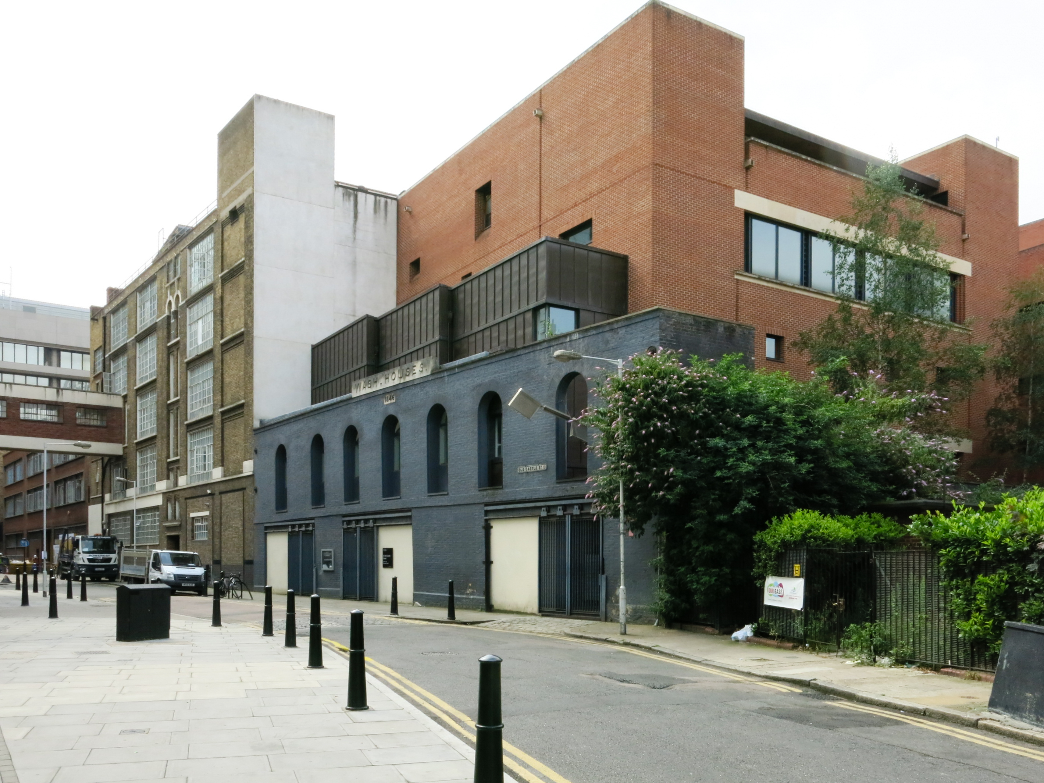
"properties": {
"b_number": "25",
"b_name": "The Wash Houses, London Metropolitan University, former Whitechapel Baths",
"street": "Old Castle Street",
"address": "The Wash Houses, London Metropolitan Univeristy, 25 Old Castle Street, London E1 7NT",
"feature_type": "WHITECHAPEL_BUILDING",
"count": 19,
"search_str": "The Wash Houses, London Metropolitan University, former Whitechapel Baths"
},
"tags": [
"cholera",
"library",
"swimming",
"washing",
"women"
]
},
"file": "https://surveyoflondon.org/media/uploads/features/1447/IMG_7473-2%20Shahed%20photo.jpg",
"description": "",
"copyright": false,
"created": "2016-11-15"
},
{
"id": 22,
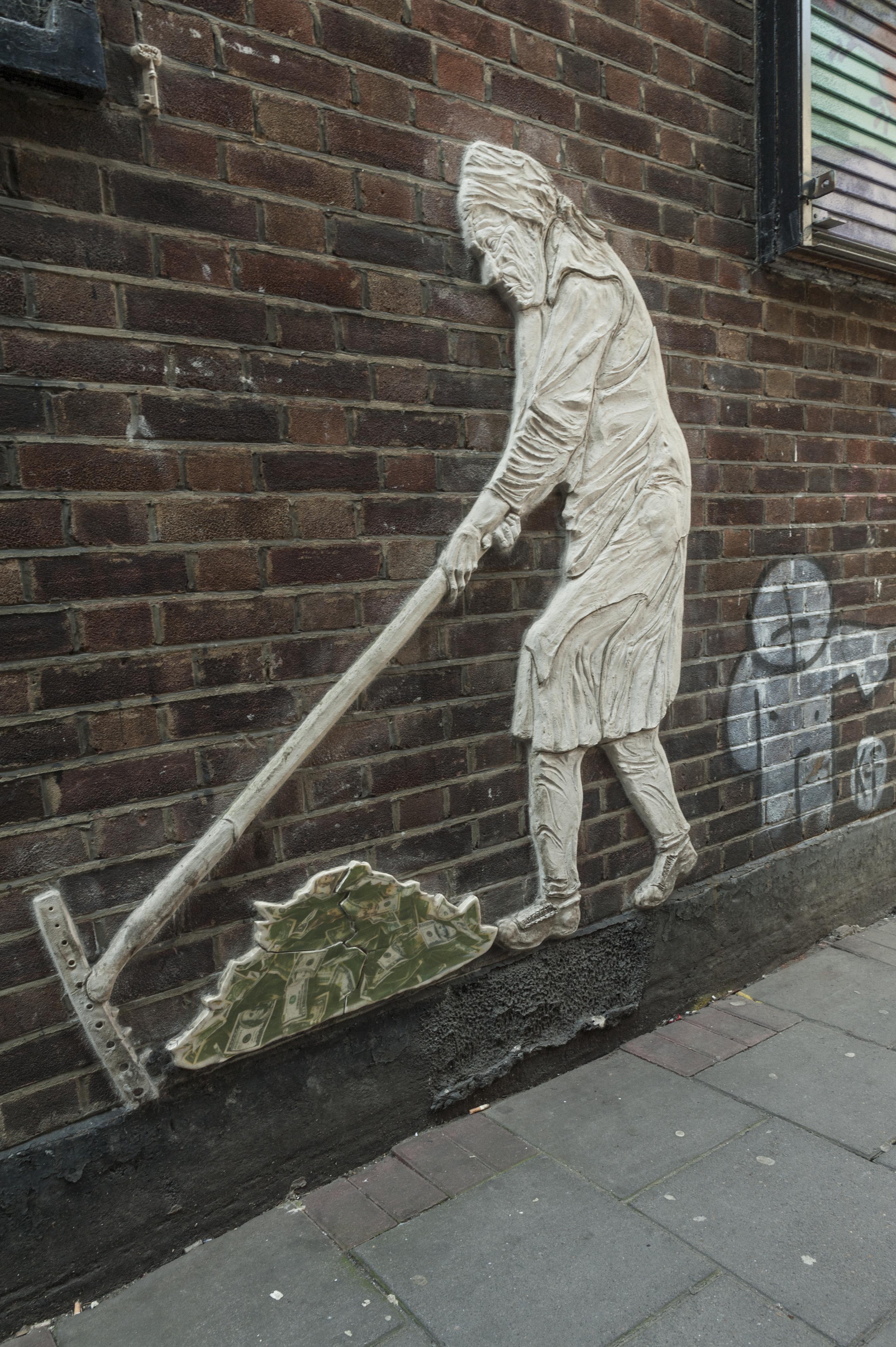
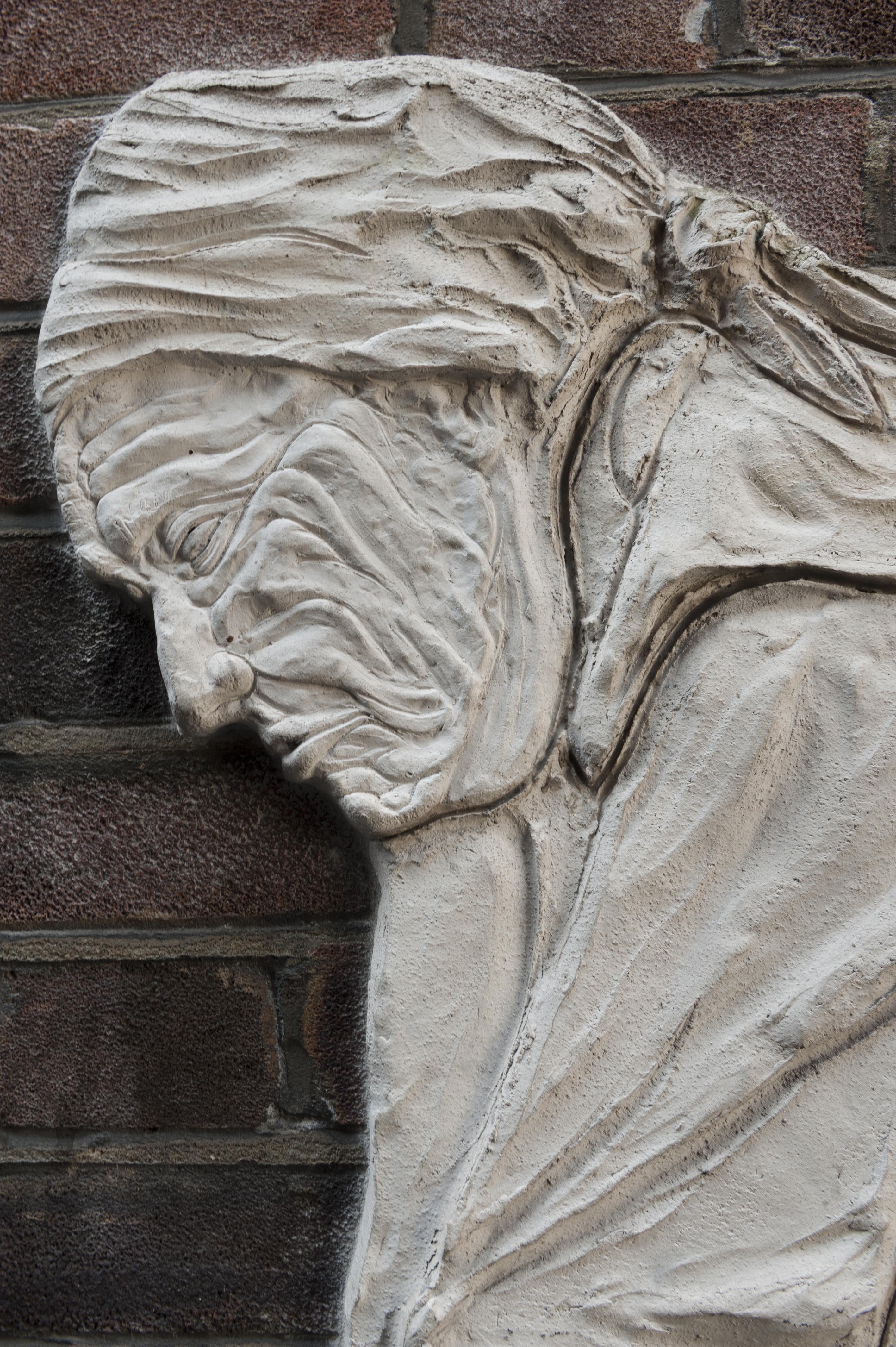
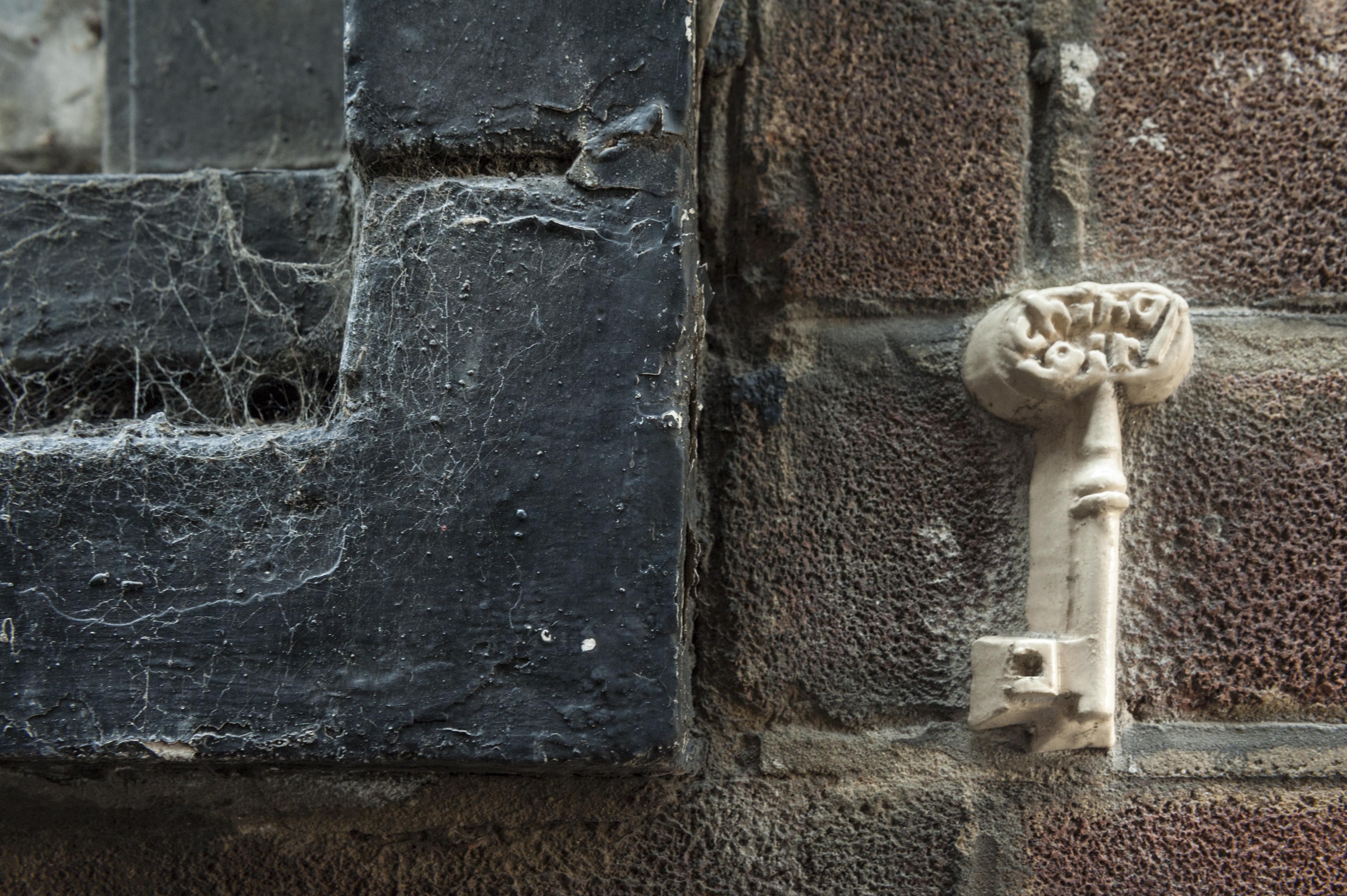
"title": "The Lady, by ChinaGirl Tile",
"author": {
"id": 27,
"username": "DerekKendall"
},
"feature": {
"id": 170,
"type": "Feature",
"geometry": {
"type": "MultiPolygon",
"coordinates": [
[
[
[
-0.069434539383805,
51.51583074728318
],
[
-0.069319861800943,
51.51587593866735
],
[
-0.069280416327696,
51.51584621970487
],
[
-0.069280088135553,
51.51582567431937
],
[
-0.069393313799103,
51.515795047869595
],
[
-0.069434539383805,
51.51583074728318
]
]
]
]
},
"properties": {
"b_number": "3",
"b_name": "",
"street": "White Church Lane",
"address": "3 White Church Lane",
"feature_type": "WHITECHAPEL_BUILDING",
"count": 5,
"search_str": "3 White Church Lane"
},
"tags": [
"street art"
]
},
"file": "https://surveyoflondon.org/media/uploads/features/170/SoL%20Whitechapel100241.jpg",
"description": "",
"copyright": true,
"created": "2016-06-20"
},
{
"id": 23,
"title": "The Lady, by ChinaGirl Tile detail",
"author": {
"id": 27,
"username": "DerekKendall"
},
"feature": {
"id": 170,
"type": "Feature",
"geometry": {
"type": "MultiPolygon",
"coordinates": [
[
[
[
-0.069434539383805,
51.51583074728318
],
[
-0.069319861800943,
51.51587593866735
],
[
-0.069280416327696,
51.51584621970487
],
[
-0.069280088135553,
51.51582567431937
],
[
-0.069393313799103,
51.515795047869595
],
[
-0.069434539383805,
51.51583074728318
]
]
]
]
},
"properties": {
"b_number": "3",
"b_name": "",
"street": "White Church Lane",
"address": "3 White Church Lane",
"feature_type": "WHITECHAPEL_BUILDING",
"count": 5,
"search_str": "3 White Church Lane"
},
"tags": [
"street art"
]
},
"file": "https://surveyoflondon.org/media/uploads/features/170/SoL%20Whitechapel100243.jpg",
"description": "",
"copyright": true,
"created": "2016-06-20"
},
{
"id": 24,
"title": "The Lady, by ChinaGirl Tile, detail two",
"author": {
"id": 27,
"username": "DerekKendall"
},
"feature": {
"id": 170,
"type": "Feature",
"geometry": {
"type": "MultiPolygon",
"coordinates": [
[
[
[
-0.069434539383805,
51.51583074728318
],
[
-0.069319861800943,
51.51587593866735
],
[
-0.069280416327696,
51.51584621970487
],
[
-0.069280088135553,
51.51582567431937
],
[
-0.069393313799103,
51.515795047869595
],
[
-0.069434539383805,
51.51583074728318
]
]
]
]
},
"properties": {
"b_number": "3",
"b_name": "",
"street": "White Church Lane",
"address": "3 White Church Lane",
"feature_type": "WHITECHAPEL_BUILDING",
"count": 5,
"search_str": "3 White Church Lane"
},
"tags": [
"street art"
]
},
"file": "https://surveyoflondon.org/media/uploads/features/170/SoL%20Whitechapel100244.jpg",
"description": "",
"copyright": true,
"created": "2016-06-20"
},
{
"id": 107,
"title": "Black Lion House, 45 Whitechapel Road",
"author": {
"id": 27,
"username": "DerekKendall"
},
"feature": {
"id": 110,
"type": "Feature",
"geometry": {
"type": "MultiPolygon",
"coordinates": [
[
[
[
-0.068875065813198,
51.51680618626088
],
[
-0.068233962527126,
51.51709686130626
],
[
-0.068193126832432,
51.51709810196207
],
[
-0.06803175834714,
51.51694741537769
],
[
-0.068035066372894,
51.51692928040864
],
[
-0.068693665039632,
51.51662552872135
],
[
-0.068880836468908,
51.51678326013327
],
[
-0.068875065813198,
51.51680618626088
]
]
]
]
},
"properties": {
"b_number": "45",
"b_name": "Black Lion House",
"street": "Whitechapel Road",
"address": "Black Lion House, 45 Whitechapel Road",
"feature_type": "WHITECHAPEL_BUILDING",
"count": 8,
"search_str": "Black Lion House"
},
"tags": []
},
"file": "https://surveyoflondon.org/media/uploads/features/110/SoL%20Whitechapel100258.jpg",
"description": "",
"copyright": true,
"created": "2016-06-29"
},
{
"id": 104,
"title": "1 Whitechapel Road",
"author": {
"id": 27,
"username": "DerekKendall"
},
"feature": {
"id": 125,
"type": "Feature",
"geometry": {
"type": "MultiPolygon",
"coordinates": [
[
[
[
-0.069835601234806,
51.51642388297715
],
[
-0.069691489123815,
51.51646510616357
],
[
-0.069648951818143,
51.516403156027266
],
[
-0.069708999041939,
51.516378147386284
],
[
-0.069672953134854,
51.516324856599205
],
[
-0.069672936003738,
51.51632486398551
],
[
-0.06967294190097,
51.51632485336538
],
[
-0.069556671088283,
51.51621233474082
],
[
-0.069649318122499,
51.51616689221756
],
[
-0.069672053598476,
51.516170597728355
],
[
-0.069835601234806,
51.51642388297715
]
]
]
]
},
"properties": {
"b_number": "1",
"b_name": "",
"street": "Whitechapel Road",
"address": "1 Whitechapel Road (including 2-8 Osborn Street)",
"feature_type": "WHITECHAPEL_BUILDING",
"count": 4,
"search_str": "1 Whitechapel Road (including 2-8 Osborn Street)"
},
"tags": []
},
"file": "https://surveyoflondon.org/media/uploads/features/125/SoL%20Whitechapel100249.jpg",
"description": "",
"copyright": true,
"created": "2016-06-29"
},
{
"id": 108,
"title": "Black Lion House from Altab Ali Park",
"author": {
"id": 27,
"username": "DerekKendall"
},
"feature": {
"id": 110,
"type": "Feature",
"geometry": {
"type": "MultiPolygon",
"coordinates": [
[
[
[
-0.068875065813198,
51.51680618626088
],
[
-0.068233962527126,
51.51709686130626
],
[
-0.068193126832432,
51.51709810196207
],
[
-0.06803175834714,
51.51694741537769
],
[
-0.068035066372894,
51.51692928040864
],
[
-0.068693665039632,
51.51662552872135
],
[
-0.068880836468908,
51.51678326013327
],
[
-0.068875065813198,
51.51680618626088
]
]
]
]
},
"properties": {
"b_number": "45",
"b_name": "Black Lion House",
"street": "Whitechapel Road",
"address": "Black Lion House, 45 Whitechapel Road",
"feature_type": "WHITECHAPEL_BUILDING",
"count": 8,
"search_str": "Black Lion House"
},
"tags": []
},
"file": "https://surveyoflondon.org/media/uploads/features/110/SoL%20Whitechapel100259.jpg",
"description": "",
"copyright": true,
"created": "2016-06-29"
},
{
"id": 508,
"title": "Eastern District Post Office, Cavell Street, photographed in 1956",
"author": {
"id": 37,
"username": "HistoricEngland"
},
"feature": {
"id": 1227,
"type": "Feature",
"geometry": {
"type": "MultiPolygon",
"coordinates": [
[
[
[
-0.058796596412285,
51.51912310433929
],
[
-0.057896913703648,
51.51929776742821
],
[
-0.057646155790783,
51.51878891291734
],
[
-0.057726960269829,
51.518773414154225
],
[
-0.057663251646104,
51.51864413103036
],
[
-0.058003630287349,
51.51857884372657
],
[
-0.058058858263524,
51.51869091551577
],
[
-0.058183402152667,
51.518667026720365
],
[
-0.058192757854339,
51.51868601168758
],
[
-0.058228318266828,
51.5186791908066
],
[
-0.058378536493976,
51.518984017000164
],
[
-0.058419330251411,
51.51897619228836
],
[
-0.058450444692009,
51.51903932977383
],
[
-0.05871794555232,
51.51898801961153
],
[
-0.058796596412285,
51.51912310433929
]
]
]
]
},
"properties": {
"b_number": "180–206",
"b_name": "East London Mail Centre and E1 Delivery Office",
"street": "Whitechapel Road",
"address": "East London Mail Centre and E1 Delivery Office",
"feature_type": "WHITECHAPEL_BUILDING",
"count": 14,
"search_str": "East London Mail Centre and E1 Delivery Office"
},
"tags": []
},
"file": "https://surveyoflondon.org/media/uploads/features/1227/p_g06189_007.jpg",
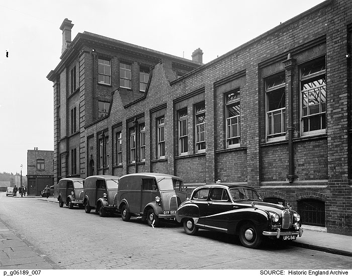
"description": "View of the sorting office range in Cavell Street of the old Eastern District Post Office, looking south towards Raven Row.\nReproduced by permission of the Historic England Archive (see archive.HistoricEngland.org.uk)",
"copyright": false,
"created": "2017-03-08"
},
{
"id": 71,
"title": "Kirstein's Mansions, 34-40 White Church Lane",
"author": {
"id": 27,
"username": "DerekKendall"
},
"feature": {
"id": 184,
"type": "Feature",
"geometry": {
"type": "MultiPolygon",
"coordinates": [
[
[
[
-0.068578857725277,
51.515058346172935
],
[
-0.068684010525248,
51.51517341266261
],
[
-0.068486063121396,
51.51522368270303
],
[
-0.068452900682943,
51.5151753964142
],
[
-0.068534791469645,
51.515150123741485
],
[
-0.06850924458504,
51.515123238092826
],
[
-0.068432210792558,
51.51514928400303
],
[
-0.068403530730357,
51.51511976827265
],
[
-0.068578857725277,
51.515058346172935
]
]
]
]
},
"properties": {
"b_number": "34-40",
"b_name": "Kirstein's Mansions",
"street": "White Church Lane",
"address": "Kirstein's Mansions, 34-40 White Church Lane",
"feature_type": "WHITECHAPEL_BUILDING",
"count": 5,
"search_str": "Kirstein's Mansions"
},
"tags": [
"David Abraham",
"Solomon Kirstein",
"street art"
]
},
"file": "https://surveyoflondon.org/media/uploads/features/184/SoL%20Whitechapel100230.jpg",
"description": "",
"copyright": true,
"created": "2016-06-22"
},
{
"id": 82,
"title": "33 Commercial Road",
"author": {
"id": 27,
"username": "DerekKendall"
},
"feature": {
"id": 103,
"type": "Feature",
"geometry": {
"type": "MultiPolygon",
"coordinates": [
[
[
[
-0.068374712930605,
51.5151408298259
],
[
-0.06804295614913,
51.51523312333845
],
[
-0.067818209826392,
51.51529176188959
],
[
-0.067732324854293,
51.51515294140592
],
[
-0.068296249445127,
51.51502991558809
],
[
-0.068374712930605,
51.5151408298259
]
]
]
]
},
"properties": {
"b_number": "33",
"b_name": "",
"street": "Commercial Road",
"address": "Former St George's Brewery, 33 Commercial Road",
"feature_type": "WHITECHAPEL_BUILDING",
"count": 8,
"search_str": "Former St George's Brewery, 33 Commercial Road"
},
"tags": [
"brewery"
]
},
"file": "https://surveyoflondon.org/media/uploads/features/103/SoL%20Whitechapel100187.jpg",
"description": "",
"copyright": true,
"created": "2016-06-24"
},
{
"id": 26,
"title": "27 Commercial Road",
"author": {
"id": 27,
"username": "DerekKendall"
},
"feature": {
"id": 102,
"type": "Feature",
"geometry": {
"type": "MultiPolygon",
"coordinates": [
[
[
[
-0.068884991325227,
51.51509176890641
],
[
-0.068884964761477,
51.515091771690116
],
[
-0.068794658458709,
51.51512331365302
],
[
-0.068755208747082,
51.51507437068053
],
[
-0.068763951154488,
51.515060519662065
],
[
-0.06878690364361,
51.51504817492868
],
[
-0.068894901526045,
51.51504995339762
],
[
-0.068909858606256,
51.515082006494964
],
[
-0.068884991325227,
51.51509176890641
]
]
]
]
},
"properties": {
"b_number": "27",
"b_name": "",
"street": "Commercial Road",
"address": "27 Commercial Road",
"feature_type": "WHITECHAPEL_BUILDING",
"count": 10,
"search_str": "27 Commercial Road"
},
"tags": []
},
"file": "https://surveyoflondon.org/media/uploads/features/102/SoL%20Whitechapel100212.jpg",
"description": "",
"copyright": true,
"created": "2016-06-20"
},
{
"id": 206,
"title": "269-277 Whitechapel Road in 2016",
"author": {
"id": 27,
"username": "DerekKendall"
},
"feature": {
"id": 496,
"type": "Feature",
"geometry": {
"type": "MultiPolygon",
"coordinates": [
[
[
[
-0.060071633969903,
51.51936604849084
],
[
-0.059977916919255,
51.519232761124464
],
[
-0.06009954482173,
51.5192052830406
],
[
-0.060195494903185,
51.519337366967875
],
[
-0.060071633969903,
51.51936604849084
]
]
]
]
},
"properties": {
"b_number": "269",
"b_name": "",
"street": "Whitechapel Road",
"address": "Former Grave Maurice public house, 269 Whitechapel Road",
"feature_type": "WHITECHAPEL_BUILDING",
"count": 9,
"search_str": "Former Grave Maurice public house, 269 Whitechapel Road"
},
"tags": []
},
"file": "https://surveyoflondon.org/media/uploads/features/496/SoL%20Whitechapel100009.jpg",
"description": "",
"copyright": true,
"created": "2016-07-28"
},
{
"id": 449,
"title": "The Church of St Mary Matfelon, Whitechapel, in May 1941",
"author": {
"id": 37,
"username": "HistoricEngland"
},
"feature": {
"id": 296,
"type": "Feature",
"geometry": {
"type": "MultiPolygon",
"coordinates": [
[
[
[
-0.069238538289603,
51.51610506120929
],
[
-0.069007097235987,
51.5162239535272
],
[
-0.068282200256798,
51.51654369745104
],
[
-0.068157401560378,
51.51641994527148
],
[
-0.067807959279103,
51.51600137496063
],
[
-0.068541180339468,
51.515783257348254
],
[
-0.068555919008956,
51.51580580160597
],
[
-0.068713893455475,
51.515872451567986
],
[
-0.068778503699218,
51.51586114158782
],
[
-0.068817146392177,
51.515922550138725
],
[
-0.068888047037903,
51.51596428315636
],
[
-0.069016085124709,
51.515921053627785
],
[
-0.069107698271647,
51.51601562404751
],
[
-0.069243279190738,
51.515974904669626
],
[
-0.069238538289603,
51.51610506120929
]
]
]
]
},
"properties": {
"b_number": "",
"b_name": "Altab Ali Park, including the site of the parish church of St Mary Matfelon",
"street": "Whitechapel Road",
"address": "Altab Ali Park",
"feature_type": "OPEN_SPACE",
"count": 32,
"search_str": "Altab Ali Park, including the site of the parish church of St Mary Matfelon"
},
"tags": []
},
"file": "https://surveyoflondon.org/media/uploads/features/296/St%20Mary%20Matfelon%2C%209-5-1941%2C%20HELR%20F238%20copy.jpg",
"description": "",
"copyright": true,
"created": "2016-11-15"
},
{
"id": 83,
"title": "33 Commercial Road",
"author": {
"id": 27,
"username": "DerekKendall"
},
"feature": {
"id": 103,
"type": "Feature",
"geometry": {
"type": "MultiPolygon",
"coordinates": [
[
[
[
-0.068374712930605,
51.5151408298259
],
[
-0.06804295614913,
51.51523312333845
],
[
-0.067818209826392,
51.51529176188959
],
[
-0.067732324854293,
51.51515294140592
],
[
-0.068296249445127,
51.51502991558809
],
[
-0.068374712930605,
51.5151408298259
]
]
]
]
},
"properties": {
"b_number": "33",
"b_name": "",
"street": "Commercial Road",
"address": "Former St George's Brewery, 33 Commercial Road",
"feature_type": "WHITECHAPEL_BUILDING",
"count": 8,
"search_str": "Former St George's Brewery, 33 Commercial Road"
},
"tags": [
"brewery"
]
},
"file": "https://surveyoflondon.org/media/uploads/features/103/SoL%20Whitechapel100189.jpg",
"description": "",
"copyright": true,
"created": "2016-06-24"
},
{
"id": 84,
"title": "33 Commercial Road",
"author": {
"id": 27,
"username": "DerekKendall"
},
"feature": {
"id": 103,
"type": "Feature",
"geometry": {
"type": "MultiPolygon",
"coordinates": [
[
[
[
-0.068374712930605,
51.5151408298259
],
[
-0.06804295614913,
51.51523312333845
],
[
-0.067818209826392,
51.51529176188959
],
[
-0.067732324854293,
51.51515294140592
],
[
-0.068296249445127,
51.51502991558809
],
[
-0.068374712930605,
51.5151408298259
]
]
]
]
},
"properties": {
"b_number": "33",
"b_name": "",
"street": "Commercial Road",
"address": "Former St George's Brewery, 33 Commercial Road",
"feature_type": "WHITECHAPEL_BUILDING",
"count": 8,
"search_str": "Former St George's Brewery, 33 Commercial Road"
},
"tags": [
"brewery"
]
},
"file": "https://surveyoflondon.org/media/uploads/features/103/SoL%20Whitechapel100191.jpg",
"description": "",
"copyright": true,
"created": "2016-06-24"
},
{
"id": 77,
"title": "Hult International Business School, 33 Commercial Road",
"author": {
"id": 27,
"username": "DerekKendall"
},
"feature": {
"id": 295,
"type": "Feature",
"geometry": {
"type": "MultiPolygon",
"coordinates": [
[
[
[
-0.067818209826392,
51.51529176188959
],
[
-0.06764487976478,
51.515339414001744
],
[
-0.067607750809999,
51.515285910919964
],
[
-0.067575873484414,
51.51517071197488
],
[
-0.06753593722878,
51.51499574438642
],
[
-0.068296238211366,
51.515029912353455
],
[
-0.067732324854293,
51.51515294140592
],
[
-0.067818209826392,
51.51529176188959
]
]
]
]
},
"properties": {
"b_number": "33",
"b_name": "",
"street": "Commercial Road",
"address": "Hult International Business School (with Hult Tower), 33 Commercial Road",
"feature_type": "WHITECHAPEL_BUILDING",
"count": 11,
"search_str": "Hult International Business School (with Hult Tower), 33 Commercial Road"
},
"tags": []
},
"file": "https://surveyoflondon.org/media/uploads/features/295/SoL%20Whitechapel100188.jpg",
"description": "",
"copyright": true,
"created": "2016-06-24"
}
]
}