HTTP 200 OK
Allow: GET, HEAD, OPTIONS
Content-Type: application/json
Vary: Accept
{
"count": 1747,
"next": "https://surveyoflondon.org/api/v1/images/?format=api&page=19",
"previous": "https://surveyoflondon.org/api/v1/images/?format=api&page=17",
"results": [
{
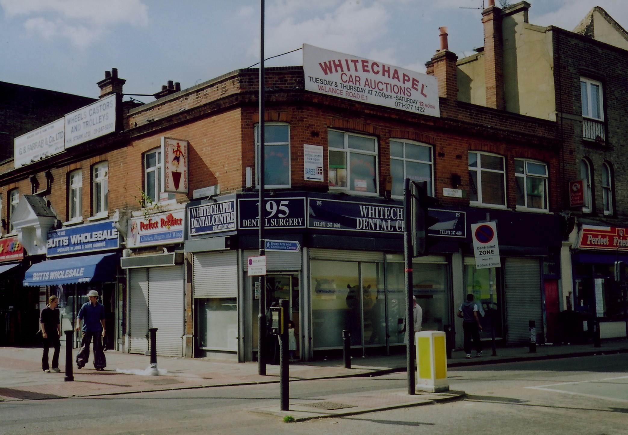
"id": 435,
"title": "195 Whitechapel Road (2001)",
"author": {
"id": 69,
"username": "bryan_mawer"
},
"feature": {
"id": 465,
"type": "Feature",
"geometry": {
"type": "MultiPolygon",
"coordinates": [
[
[
[
-0.063090187489276,
51.51859989562207
],
[
-0.063050407736126,
51.51861563996856
],
[
-0.063084266237234,
51.5186503491417
],
[
-0.063017933855619,
51.518666536762204
],
[
-0.062961226913314,
51.51857754096387
],
[
-0.062971680990042,
51.518560605408474
],
[
-0.063038120409685,
51.51853977822481
],
[
-0.063090187489276,
51.51859989562207
]
]
]
]
},
"properties": {
"b_number": "195",
"b_name": "",
"street": "Whitechapel Road",
"address": "195 Whitechapel Road",
"feature_type": "WHITECHAPEL_BUILDING",
"count": 2,
"search_str": "195 Whitechapel Road"
},
"tags": []
},
"file": "https://surveyoflondon.org/media/uploads/features/465/195wcr.jpg",
"description": "",
"copyright": false,
"created": "2016-10-25"
},
{
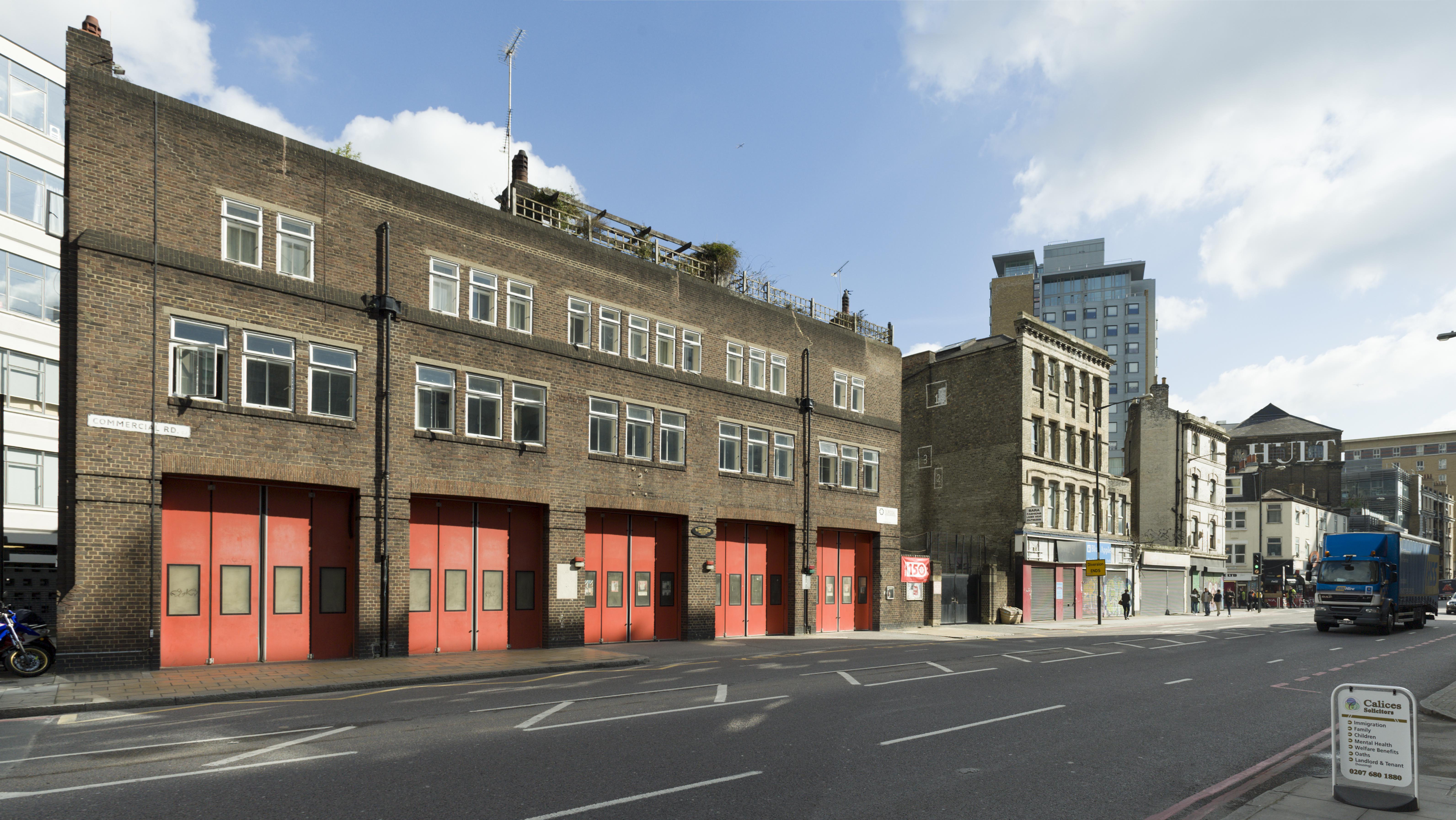
"id": 59,
"title": "Whitechapel Fire Station",
"author": {
"id": 27,
"username": "DerekKendall"
},
"feature": {
"id": 101,
"type": "Feature",
"geometry": {
"type": "MultiPolygon",
"coordinates": [
[
[
[
-0.069645462493737,
51.515142463727784
],
[
-0.069222888876109,
51.51529835788027
],
[
-0.069232652835499,
51.51526035048273
],
[
-0.069278826604558,
51.51522930389526
],
[
-0.06930377951036,
51.515073225280084
],
[
-0.069647827894883,
51.515086522706206
],
[
-0.069645462493737,
51.515142463727784
]
]
]
]
},
"properties": {
"b_number": "",
"b_name": "Whitechapel Fire Station",
"street": "Manningtree Street",
"address": "Whitechapel Fire Station, Manningtree Street",
"feature_type": "WHITECHAPEL_BUILDING",
"count": 9,
"search_str": "Whitechapel Fire Station"
},
"tags": [
"fire station"
]
},
"file": "https://surveyoflondon.org/media/uploads/features/101/SoL%20Whitechapel100222.jpg",
"description": "",
"copyright": true,
"created": "2016-06-22"
},
{
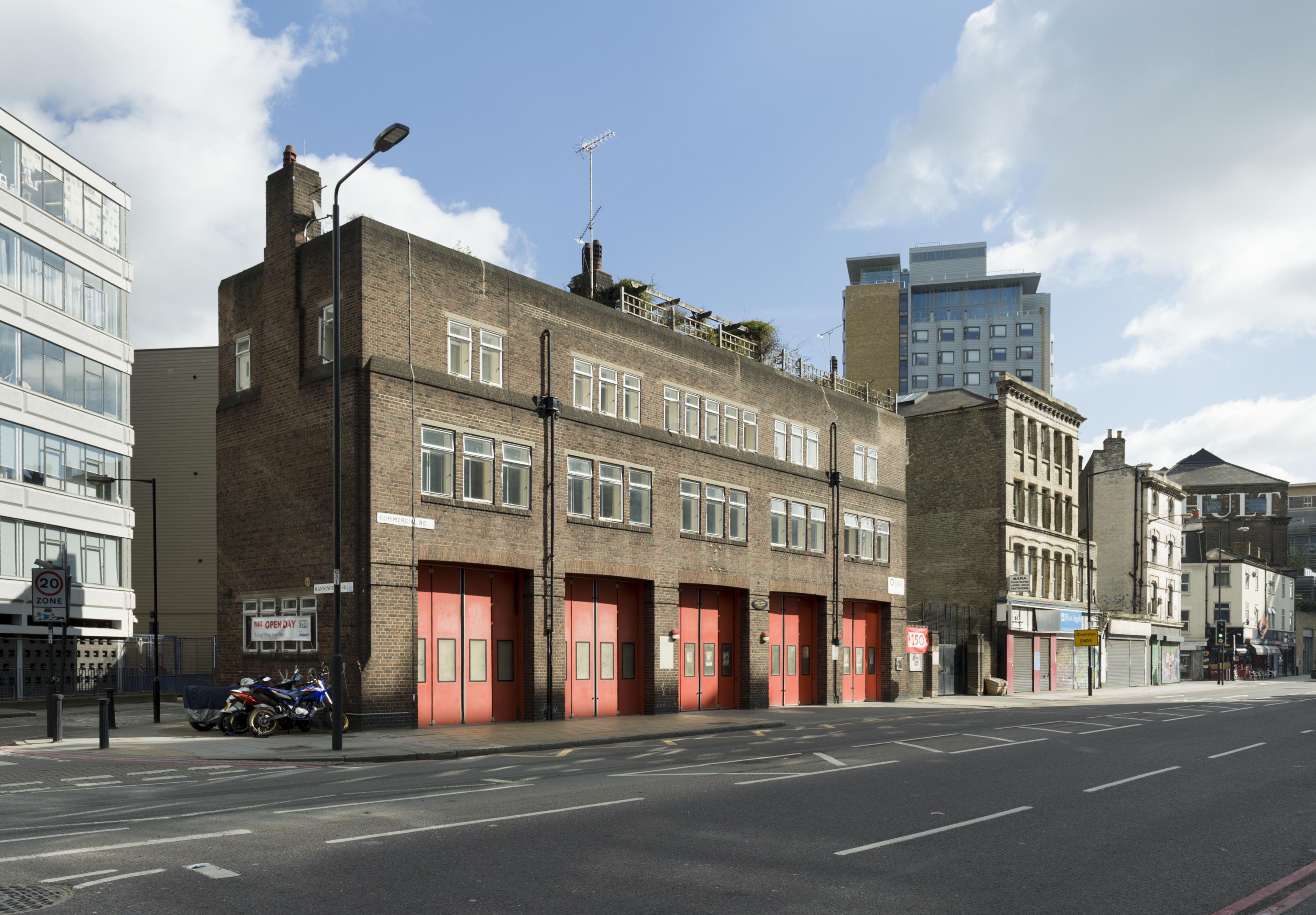
"id": 60,
"title": "Whitechapel Fire Station",
"author": {
"id": 27,
"username": "DerekKendall"
},
"feature": {
"id": 101,
"type": "Feature",
"geometry": {
"type": "MultiPolygon",
"coordinates": [
[
[
[
-0.069645462493737,
51.515142463727784
],
[
-0.069222888876109,
51.51529835788027
],
[
-0.069232652835499,
51.51526035048273
],
[
-0.069278826604558,
51.51522930389526
],
[
-0.06930377951036,
51.515073225280084
],
[
-0.069647827894883,
51.515086522706206
],
[
-0.069645462493737,
51.515142463727784
]
]
]
]
},
"properties": {
"b_number": "",
"b_name": "Whitechapel Fire Station",
"street": "Manningtree Street",
"address": "Whitechapel Fire Station, Manningtree Street",
"feature_type": "WHITECHAPEL_BUILDING",
"count": 9,
"search_str": "Whitechapel Fire Station"
},
"tags": [
"fire station"
]
},
"file": "https://surveyoflondon.org/media/uploads/features/101/SoL%20Whitechapel100223.jpg",
"description": "",
"copyright": true,
"created": "2016-06-22"
},
{
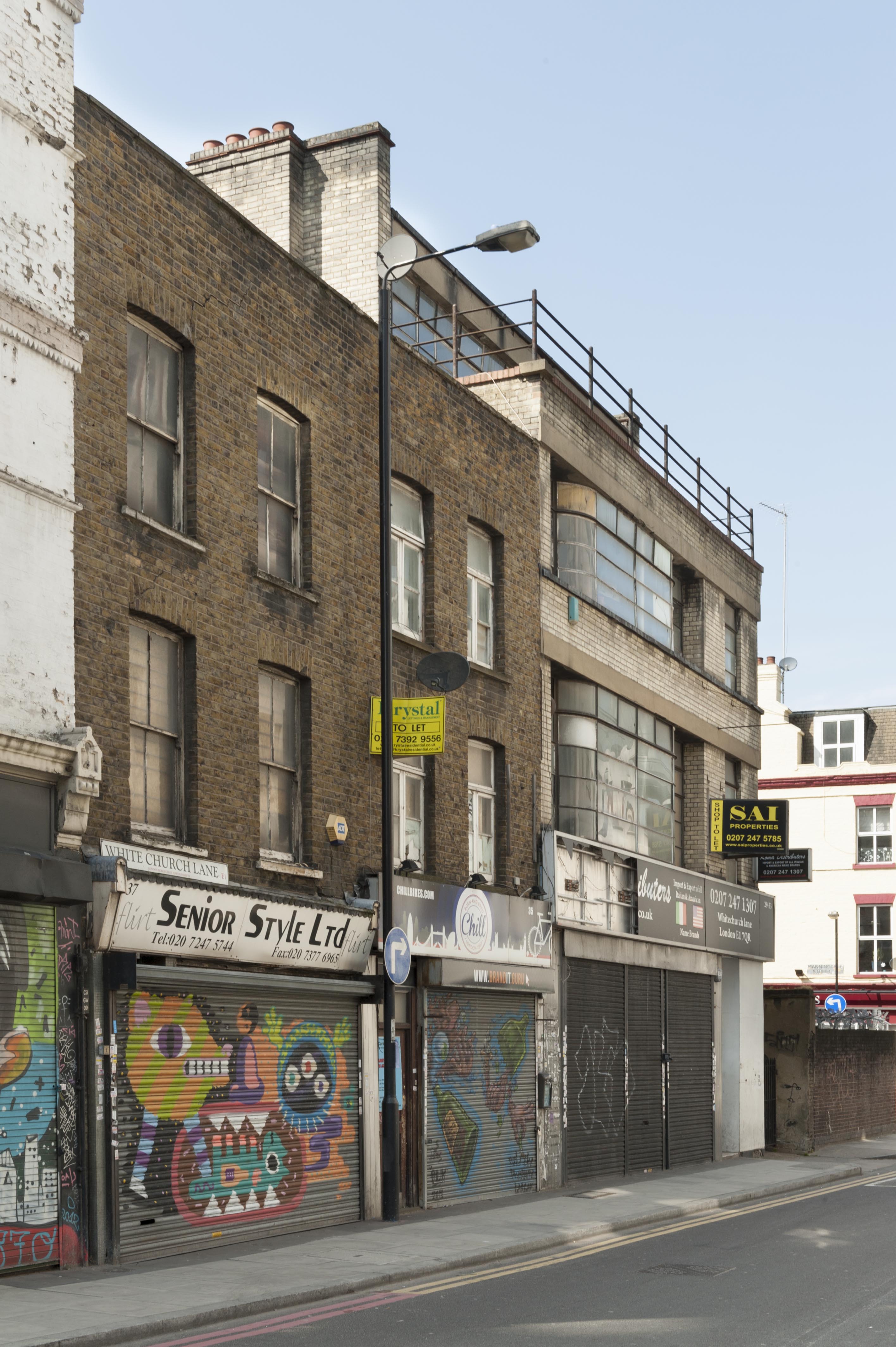
"id": 25,
"title": "29-33 White Church Lane",
"author": {
"id": 27,
"username": "DerekKendall"
},
"feature": {
"id": 162,
"type": "Feature",
"geometry": {
"type": "MultiPolygon",
"coordinates": [
[
[
[
-0.069006759704738,
51.5150568844191
],
[
-0.069014695757064,
51.51523956315401
],
[
-0.068912141496422,
51.515269068053904
],
[
-0.068847667114587,
51.5151890784224
],
[
-0.06894818219913,
51.51515300087076
],
[
-0.069009646187998,
51.51513326826132
],
[
-0.069006759704738,
51.5150568844191
]
]
]
]
},
"properties": {
"b_number": "29-33",
"b_name": "",
"street": "White Church Lane",
"address": "29-33 White Church Lane",
"feature_type": "WHITECHAPEL_BUILDING",
"count": 3,
"search_str": "29-33 White Church Lane"
},
"tags": [
"George Coles",
"synagogue"
]
},
"file": "https://surveyoflondon.org/media/uploads/features/162/SoL%20Whitechapel100229.jpg",
"description": "",
"copyright": true,
"created": "2016-06-20"
},
{
"id": 52,
"title": "21 White Church Lane",
"author": {
"id": 27,
"username": "DerekKendall"
},
"feature": {
"id": 144,
"type": "Feature",
"geometry": {
"type": "MultiPolygon",
"coordinates": [
[
[
[
-0.069158110074285,
51.515488807862255
],
[
-0.069158103007644,
51.5154888105693
],
[
-0.06909531726186,
51.51550668914688
],
[
-0.069053903152441,
51.51543679769293
],
[
-0.069174688254967,
51.51539510349721
],
[
-0.069229827889087,
51.51545856821285
],
[
-0.069158110074285,
51.515488807862255
]
]
]
]
},
"properties": {
"b_number": "21",
"b_name": "The Bar Locks (formerly the Horse and Groom)",
"street": "White Church Lane",
"address": "21 White Church Lane",
"feature_type": "WHITECHAPEL_BUILDING",
"count": 4,
"search_str": "The Bar Locks (formerly the Horse and Groom)"
},
"tags": [
"public house"
]
},
"file": "https://surveyoflondon.org/media/uploads/features/144/SoL%20Whitechapel100232.jpg",
"description": "",
"copyright": true,
"created": "2016-06-22"
},
{
"id": 53,
"title": "21 White Church Lane",
"author": {
"id": 27,
"username": "DerekKendall"
},
"feature": {
"id": 144,
"type": "Feature",
"geometry": {
"type": "MultiPolygon",
"coordinates": [
[
[
[
-0.069158110074285,
51.515488807862255
],
[
-0.069158103007644,
51.5154888105693
],
[
-0.06909531726186,
51.51550668914688
],
[
-0.069053903152441,
51.51543679769293
],
[
-0.069174688254967,
51.51539510349721
],
[
-0.069229827889087,
51.51545856821285
],
[
-0.069158110074285,
51.515488807862255
]
]
]
]
},
"properties": {
"b_number": "21",
"b_name": "The Bar Locks (formerly the Horse and Groom)",
"street": "White Church Lane",
"address": "21 White Church Lane",
"feature_type": "WHITECHAPEL_BUILDING",
"count": 4,
"search_str": "The Bar Locks (formerly the Horse and Groom)"
},
"tags": [
"public house"
]
},
"file": "https://surveyoflondon.org/media/uploads/features/144/SoL%20Whitechapel100233.jpg",
"description": "",
"copyright": true,
"created": "2016-06-22"
},
{
"id": 54,
"title": "The Bar Locks, formerly the Horse and Groom, 21 White Church Lane",
"author": {
"id": 27,
"username": "DerekKendall"
},
"feature": {
"id": 144,
"type": "Feature",
"geometry": {
"type": "MultiPolygon",
"coordinates": [
[
[
[
-0.069158110074285,
51.515488807862255
],
[
-0.069158103007644,
51.5154888105693
],
[
-0.06909531726186,
51.51550668914688
],
[
-0.069053903152441,
51.51543679769293
],
[
-0.069174688254967,
51.51539510349721
],
[
-0.069229827889087,
51.51545856821285
],
[
-0.069158110074285,
51.515488807862255
]
]
]
]
},
"properties": {
"b_number": "21",
"b_name": "The Bar Locks (formerly the Horse and Groom)",
"street": "White Church Lane",
"address": "21 White Church Lane",
"feature_type": "WHITECHAPEL_BUILDING",
"count": 4,
"search_str": "The Bar Locks (formerly the Horse and Groom)"
},
"tags": [
"public house"
]
},
"file": "https://surveyoflondon.org/media/uploads/features/144/SoL%20Whitechapel100233_3PnFpbp.jpg",
"description": "",
"copyright": true,
"created": "2016-06-22"
},
{
"id": 1299,
"title": "The Artful Dodger and 39–45 Royal Mint Street from the northeast in 2018",
"author": {
"id": 27,
"username": "DerekKendall"
},
"feature": {
"id": 1340,
"type": "Feature",
"geometry": {
"type": "MultiPolygon",
"coordinates": [
[
[
[
-0.070218201553316,
51.51043094496562
],
[
-0.070222558344686,
51.51044247916505
],
[
-0.070109328735508,
51.510468828661644
],
[
-0.070060850905555,
51.51038509713018
],
[
-0.070073091733693,
51.510382337633246
],
[
-0.070050463039811,
51.51034325297067
],
[
-0.070066633176381,
51.51033960767238
],
[
-0.070054353255101,
51.510318397568625
],
[
-0.070157621726522,
51.510295117279824
],
[
-0.070179031681174,
51.51033209678496
],
[
-0.070158959927667,
51.51033794396246
],
[
-0.07017205837987,
51.510360032186526
],
[
-0.070184201425816,
51.510378368893306
],
[
-0.070218201553316,
51.51043094496562
]
]
]
]
},
"properties": {
"b_number": "47",
"b_name": "The Artful Dodger (formerly the Crown and Seven Stars)",
"street": "Royal Mint Street",
"address": "The Artful Dodger (formerly the Crown and Seven Stars) public house, 47 Royal Mint Street",
"feature_type": "WHITECHAPEL_BUILDING",
"count": 18,
"search_str": "The Artful Dodger (formerly the Crown and Seven Stars)"
},
"tags": []
},
"file": "https://surveyoflondon.org/media/uploads/features/1340/SoL%20Whitechapel%20102042.jpg",
"description": "",
"copyright": true,
"created": "2018-08-13"
},
{
"id": 34,
"title": "27A Commercial Road",
"author": {
"id": 27,
"username": "DerekKendall"
},
"feature": {
"id": 303,
"type": "Feature",
"geometry": {
"type": "MultiPolygon",
"coordinates": [
[
[
[
-0.069014695757064,
51.51523956315401
],
[
-0.069006759704738,
51.5150568844191
],
[
-0.069183985538311,
51.515061074794986
],
[
-0.069174151352678,
51.51521451716912
],
[
-0.069139298695867,
51.51522608039955
],
[
-0.069110996613575,
51.51521260416429
],
[
-0.069111919823293,
51.51520155348878
],
[
-0.069077020997482,
51.51520053568557
],
[
-0.06907108832058,
51.51522333899199
],
[
-0.069014695757064,
51.51523956315401
]
]
]
]
},
"properties": {
"b_number": "27A",
"b_name": "",
"street": "Commercial Road",
"address": "27A Commercial Road",
"feature_type": "WHITECHAPEL_BUILDING",
"count": 6,
"search_str": "27A Commercial Road"
},
"tags": []
},
"file": "https://surveyoflondon.org/media/uploads/features/303/SoL%20Whitechapel100210.jpg",
"description": "",
"copyright": true,
"created": "2016-06-20"
},
{
"id": 35,
"title": "27A Commercial Road",
"author": {
"id": 27,
"username": "DerekKendall"
},
"feature": {
"id": 303,
"type": "Feature",
"geometry": {
"type": "MultiPolygon",
"coordinates": [
[
[
[
-0.069014695757064,
51.51523956315401
],
[
-0.069006759704738,
51.5150568844191
],
[
-0.069183985538311,
51.515061074794986
],
[
-0.069174151352678,
51.51521451716912
],
[
-0.069139298695867,
51.51522608039955
],
[
-0.069110996613575,
51.51521260416429
],
[
-0.069111919823293,
51.51520155348878
],
[
-0.069077020997482,
51.51520053568557
],
[
-0.06907108832058,
51.51522333899199
],
[
-0.069014695757064,
51.51523956315401
]
]
]
]
},
"properties": {
"b_number": "27A",
"b_name": "",
"street": "Commercial Road",
"address": "27A Commercial Road",
"feature_type": "WHITECHAPEL_BUILDING",
"count": 6,
"search_str": "27A Commercial Road"
},
"tags": []
},
"file": "https://surveyoflondon.org/media/uploads/features/303/SoL%20Whitechapel100211.jpg",
"description": "",
"copyright": true,
"created": "2016-06-20"
},
{
"id": 36,
"title": "27A Commercial Road",
"author": {
"id": 27,
"username": "DerekKendall"
},
"feature": {
"id": 303,
"type": "Feature",
"geometry": {
"type": "MultiPolygon",
"coordinates": [
[
[
[
-0.069014695757064,
51.51523956315401
],
[
-0.069006759704738,
51.5150568844191
],
[
-0.069183985538311,
51.515061074794986
],
[
-0.069174151352678,
51.51521451716912
],
[
-0.069139298695867,
51.51522608039955
],
[
-0.069110996613575,
51.51521260416429
],
[
-0.069111919823293,
51.51520155348878
],
[
-0.069077020997482,
51.51520053568557
],
[
-0.06907108832058,
51.51522333899199
],
[
-0.069014695757064,
51.51523956315401
]
]
]
]
},
"properties": {
"b_number": "27A",
"b_name": "",
"street": "Commercial Road",
"address": "27A Commercial Road",
"feature_type": "WHITECHAPEL_BUILDING",
"count": 6,
"search_str": "27A Commercial Road"
},
"tags": []
},
"file": "https://surveyoflondon.org/media/uploads/features/303/SoL%20Whitechapel100213.jpg",
"description": "",
"copyright": true,
"created": "2016-06-20"
},
{
"id": 1300,
"title": "The Artful Dodger in 2018",
"author": {
"id": 27,
"username": "DerekKendall"
},
"feature": {
"id": 1340,
"type": "Feature",
"geometry": {
"type": "MultiPolygon",
"coordinates": [
[
[
[
-0.070218201553316,
51.51043094496562
],
[
-0.070222558344686,
51.51044247916505
],
[
-0.070109328735508,
51.510468828661644
],
[
-0.070060850905555,
51.51038509713018
],
[
-0.070073091733693,
51.510382337633246
],
[
-0.070050463039811,
51.51034325297067
],
[
-0.070066633176381,
51.51033960767238
],
[
-0.070054353255101,
51.510318397568625
],
[
-0.070157621726522,
51.510295117279824
],
[
-0.070179031681174,
51.51033209678496
],
[
-0.070158959927667,
51.51033794396246
],
[
-0.07017205837987,
51.510360032186526
],
[
-0.070184201425816,
51.510378368893306
],
[
-0.070218201553316,
51.51043094496562
]
]
]
]
},
"properties": {
"b_number": "47",
"b_name": "The Artful Dodger (formerly the Crown and Seven Stars)",
"street": "Royal Mint Street",
"address": "The Artful Dodger (formerly the Crown and Seven Stars) public house, 47 Royal Mint Street",
"feature_type": "WHITECHAPEL_BUILDING",
"count": 18,
"search_str": "The Artful Dodger (formerly the Crown and Seven Stars)"
},
"tags": []
},
"file": "https://surveyoflondon.org/media/uploads/features/1340/SoL%20Whitechapel%20102044.jpg",
"description": "",
"copyright": true,
"created": "2018-08-13"
},
{
"id": 105,
"title": "The Nags Head, 17-19 Whitechapel Road",
"author": {
"id": 27,
"username": "DerekKendall"
},
"feature": {
"id": 107,
"type": "Feature",
"geometry": {
"type": "MultiPolygon",
"coordinates": [
[
[
[
-0.069219496501763,
51.51644605887834
],
[
-0.069193849012057,
51.516467097443936
],
[
-0.069245056256538,
51.516509925492436
],
[
-0.069224140905423,
51.51652230385627
],
[
-0.069251970528435,
51.5165393015746
],
[
-0.069189493278861,
51.51657007972676
],
[
-0.069125951895342,
51.51652959311675
],
[
-0.069029113171504,
51.516456751417614
],
[
-0.069152018493679,
51.51639515846276
],
[
-0.069219496501763,
51.51644605887834
]
]
]
]
},
"properties": {
"b_number": "17-19",
"b_name": "The Nag's Head, 17-19 Whitechapel Road",
"street": "Whitechapel Road",
"address": "The Nag's Head, 17-19 Whitechapel Road",
"feature_type": "WHITECHAPEL_BUILDING",
"count": 2,
"search_str": "The Nag's Head, 17-19 Whitechapel Road"
},
"tags": []
},
"file": "https://surveyoflondon.org/media/uploads/features/107/SoL%20Whitechapel100250.jpg",
"description": "",
"copyright": true,
"created": "2016-06-29"
},
{
"id": 37,
"title": "27A Commercial Road",
"author": {
"id": 27,
"username": "DerekKendall"
},
"feature": {
"id": 303,
"type": "Feature",
"geometry": {
"type": "MultiPolygon",
"coordinates": [
[
[
[
-0.069014695757064,
51.51523956315401
],
[
-0.069006759704738,
51.5150568844191
],
[
-0.069183985538311,
51.515061074794986
],
[
-0.069174151352678,
51.51521451716912
],
[
-0.069139298695867,
51.51522608039955
],
[
-0.069110996613575,
51.51521260416429
],
[
-0.069111919823293,
51.51520155348878
],
[
-0.069077020997482,
51.51520053568557
],
[
-0.06907108832058,
51.51522333899199
],
[
-0.069014695757064,
51.51523956315401
]
]
]
]
},
"properties": {
"b_number": "27A",
"b_name": "",
"street": "Commercial Road",
"address": "27A Commercial Road",
"feature_type": "WHITECHAPEL_BUILDING",
"count": 6,
"search_str": "27A Commercial Road"
},
"tags": []
},
"file": "https://surveyoflondon.org/media/uploads/features/303/SoL%20Whitechapel100215.jpg",
"description": "",
"copyright": true,
"created": "2016-06-20"
},
{
"id": 38,
"title": "27A Commercial Road",
"author": {
"id": 27,
"username": "DerekKendall"
},
"feature": {
"id": 303,
"type": "Feature",
"geometry": {
"type": "MultiPolygon",
"coordinates": [
[
[
[
-0.069014695757064,
51.51523956315401
],
[
-0.069006759704738,
51.5150568844191
],
[
-0.069183985538311,
51.515061074794986
],
[
-0.069174151352678,
51.51521451716912
],
[
-0.069139298695867,
51.51522608039955
],
[
-0.069110996613575,
51.51521260416429
],
[
-0.069111919823293,
51.51520155348878
],
[
-0.069077020997482,
51.51520053568557
],
[
-0.06907108832058,
51.51522333899199
],
[
-0.069014695757064,
51.51523956315401
]
]
]
]
},
"properties": {
"b_number": "27A",
"b_name": "",
"street": "Commercial Road",
"address": "27A Commercial Road",
"feature_type": "WHITECHAPEL_BUILDING",
"count": 6,
"search_str": "27A Commercial Road"
},
"tags": []
},
"file": "https://surveyoflondon.org/media/uploads/features/303/SoL%20Whitechapel100218.jpg",
"description": "",
"copyright": true,
"created": "2016-06-20"
},
{
"id": 19,
"title": "65A-71 Whitechapel High Street",
"author": {
"id": 27,
"username": "DerekKendall"
},
"feature": {
"id": 164,
"type": "Feature",
"geometry": {
"type": "MultiPolygon",
"coordinates": [
[
[
[
-0.069933654614942,
51.51577271778849
],
[
-0.0699313270692,
51.515777354399376
],
[
-0.069889130754686,
51.515797140731685
],
[
-0.069809844959613,
51.51573576424652
],
[
-0.069885170960789,
51.51571635476265
],
[
-0.069933654614942,
51.51577271778849
]
]
]
]
},
"properties": {
"b_number": "65A",
"b_name": "",
"street": "Whitechapel High Street",
"address": "65A Whitechapel High Street",
"feature_type": "WHITECHAPEL_BUILDING",
"count": 5,
"search_str": "65A Whitechapel High Street"
},
"tags": []
},
"file": "https://surveyoflondon.org/media/uploads/features/164/SoL%20Whitechapel100361.jpg",
"description": "",
"copyright": true,
"created": null
},
{
"id": 57,
"title": "Whitechapel Fire Station",
"author": {
"id": 27,
"username": "DerekKendall"
},
"feature": {
"id": 101,
"type": "Feature",
"geometry": {
"type": "MultiPolygon",
"coordinates": [
[
[
[
-0.069645462493737,
51.515142463727784
],
[
-0.069222888876109,
51.51529835788027
],
[
-0.069232652835499,
51.51526035048273
],
[
-0.069278826604558,
51.51522930389526
],
[
-0.06930377951036,
51.515073225280084
],
[
-0.069647827894883,
51.515086522706206
],
[
-0.069645462493737,
51.515142463727784
]
]
]
]
},
"properties": {
"b_number": "",
"b_name": "Whitechapel Fire Station",
"street": "Manningtree Street",
"address": "Whitechapel Fire Station, Manningtree Street",
"feature_type": "WHITECHAPEL_BUILDING",
"count": 9,
"search_str": "Whitechapel Fire Station"
},
"tags": [
"fire station"
]
},
"file": "https://surveyoflondon.org/media/uploads/features/101/SoL%20Whitechapel100220.jpg",
"description": "",
"copyright": true,
"created": "2016-06-22"
},
{
"id": 106,
"title": "27 Whitechapel Road",
"author": {
"id": 27,
"username": "DerekKendall"
},
"feature": {
"id": 122,
"type": "Feature",
"geometry": {
"type": "MultiPolygon",
"coordinates": [
[
[
[
-0.069023766104944,
51.5167876412413
],
[
-0.068793603793373,
51.516578747857835
],
[
-0.068854756856642,
51.516547067549645
],
[
-0.069054122731668,
51.51672762843158
],
[
-0.069064027277095,
51.51677577138628
],
[
-0.069023766104944,
51.5167876412413
]
]
]
]
},
"properties": {
"b_number": "27",
"b_name": "",
"street": "Whitechapel Road",
"address": "27 Whitechapel Road",
"feature_type": "WHITECHAPEL_BUILDING",
"count": 2,
"search_str": "27 Whitechapel Road"
},
"tags": []
},
"file": "https://surveyoflondon.org/media/uploads/features/122/SoL%20Whitechapel100253.jpg",
"description": "",
"copyright": true,
"created": "2016-06-29"
},
{
"id": 91,
"title": "Drinking Fountain, White Church Lane",
"author": {
"id": 27,
"username": "DerekKendall"
},
"feature": {
"id": 300,
"type": "Feature",
"geometry": {
"type": "MultiPolygon",
"coordinates": [
[
[
[
-0.069243596748293,
51.51601241792537
],
[
-0.069248795648201,
51.51601275371706
],
[
-0.06924740092096,
51.516036249254505
],
[
-0.069242592172893,
51.516036170083076
],
[
-0.069243596748293,
51.51601241792537
]
]
]
]
},
"properties": {
"b_number": "",
"b_name": "Drinking Fountain",
"street": "White Church Lane",
"address": "Drinking Fountain, White Church Lane",
"feature_type": "WHITECHAPEL_BUILDING",
"count": 5,
"search_str": "Drinking Fountain"
},
"tags": [
"drinking fountain",
"William Weldon Champneys"
]
},
"file": "https://surveyoflondon.org/media/uploads/features/300/SoL%20Whitechapel100245.jpg",
"description": "",
"copyright": true,
"created": "2016-06-27"
},
{
"id": 92,
"title": "Drinking Fountain, White Church Lane",
"author": {
"id": 27,
"username": "DerekKendall"
},
"feature": {
"id": 300,
"type": "Feature",
"geometry": {
"type": "MultiPolygon",
"coordinates": [
[
[
[
-0.069243596748293,
51.51601241792537
],
[
-0.069248795648201,
51.51601275371706
],
[
-0.06924740092096,
51.516036249254505
],
[
-0.069242592172893,
51.516036170083076
],
[
-0.069243596748293,
51.51601241792537
]
]
]
]
},
"properties": {
"b_number": "",
"b_name": "Drinking Fountain",
"street": "White Church Lane",
"address": "Drinking Fountain, White Church Lane",
"feature_type": "WHITECHAPEL_BUILDING",
"count": 5,
"search_str": "Drinking Fountain"
},
"tags": [
"drinking fountain",
"William Weldon Champneys"
]
},
"file": "https://surveyoflondon.org/media/uploads/features/300/SoL%20Whitechapel100246.jpg",
"description": "",
"copyright": true,
"created": "2016-06-27"
}
]
}