HTTP 200 OK
Allow: GET, HEAD, OPTIONS
Content-Type: application/json
Vary: Accept
{
"count": 1747,
"next": "https://surveyoflondon.org/api/v1/images/?format=api&page=18",
"previous": "https://surveyoflondon.org/api/v1/images/?format=api&page=16",
"results": [
{
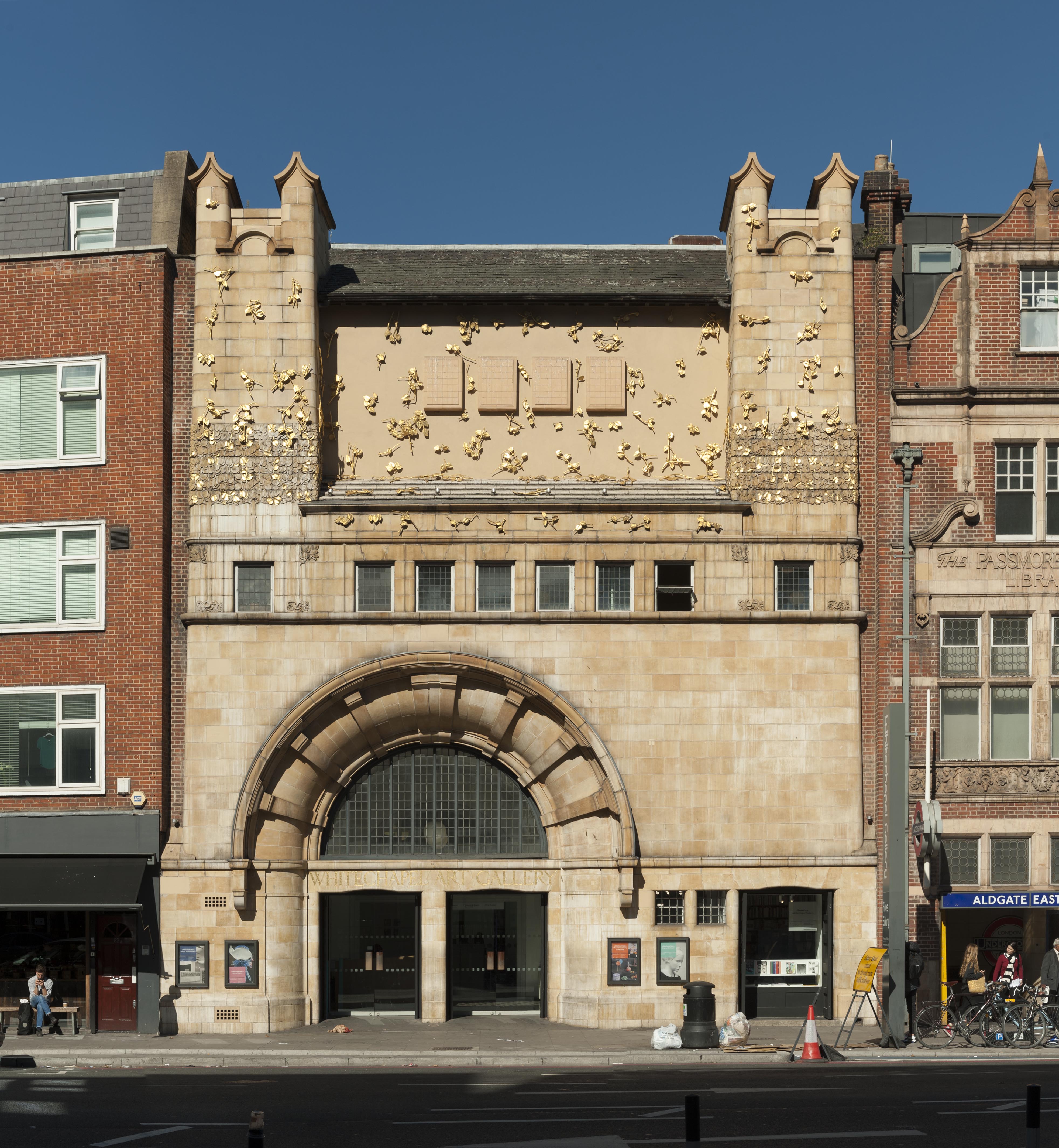
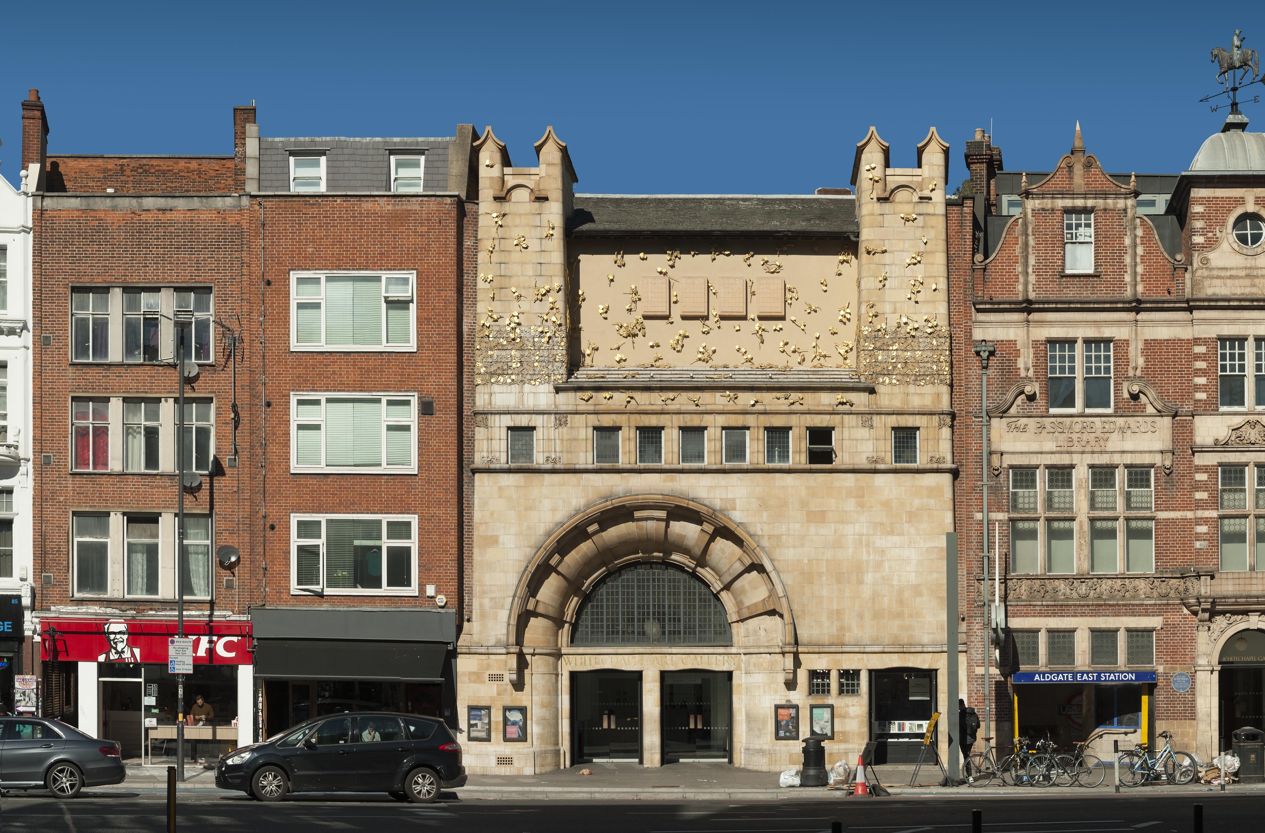
"id": 1364,
"title": "Whitechapel Gallery in 2018",
"author": {
"id": 27,
"username": "DerekKendall"
},
"feature": {
"id": 388,
"type": "Feature",
"geometry": {
"type": "MultiPolygon",
"coordinates": [
[
[
[
-0.070444999065034,
51.516268747815374
],
[
-0.070444987924411,
51.51626873485329
],
[
-0.070191183413983,
51.515943931980686
],
[
-0.07030660834808,
51.51590379026539
],
[
-0.070366244631028,
51.515976197771835
],
[
-0.070382361693267,
51.515991401135054
],
[
-0.070520839263358,
51.51595250664741
],
[
-0.070554830739485,
51.51599269532529
],
[
-0.070536539383068,
51.51600061037052
],
[
-0.070670856421127,
51.51616489931219
],
[
-0.070742289448097,
51.51614590797361
],
[
-0.070776212105595,
51.51618683122123
],
[
-0.070667546631979,
51.51621488771394
],
[
-0.070691375516433,
51.5162459029802
],
[
-0.070587290171224,
51.51627187207374
],
[
-0.070551087840537,
51.51627061113889
],
[
-0.07048764157752,
51.51628876524349
],
[
-0.070470164368826,
51.516262702692195
],
[
-0.070444999076386,
51.51626873811411
],
[
-0.070444999065034,
51.516268747815374
]
]
]
]
},
"properties": {
"b_number": "77–82",
"b_name": "Whitechapel Gallery, 77–82 Whitechapel High Street",
"street": "Whitechapel High Street",
"address": " 77–82 Whitechapel High Street",
"feature_type": "WHITECHAPEL_BUILDING",
"count": 13,
"search_str": "Whitechapel Gallery, 77–82 Whitechapel High Street"
},
"tags": []
},
"file": "https://surveyoflondon.org/media/uploads/features/388/SoL%20Whitechapel%20102224.jpg",
"description": "",
"copyright": true,
"created": "2018-10-10"
},
{
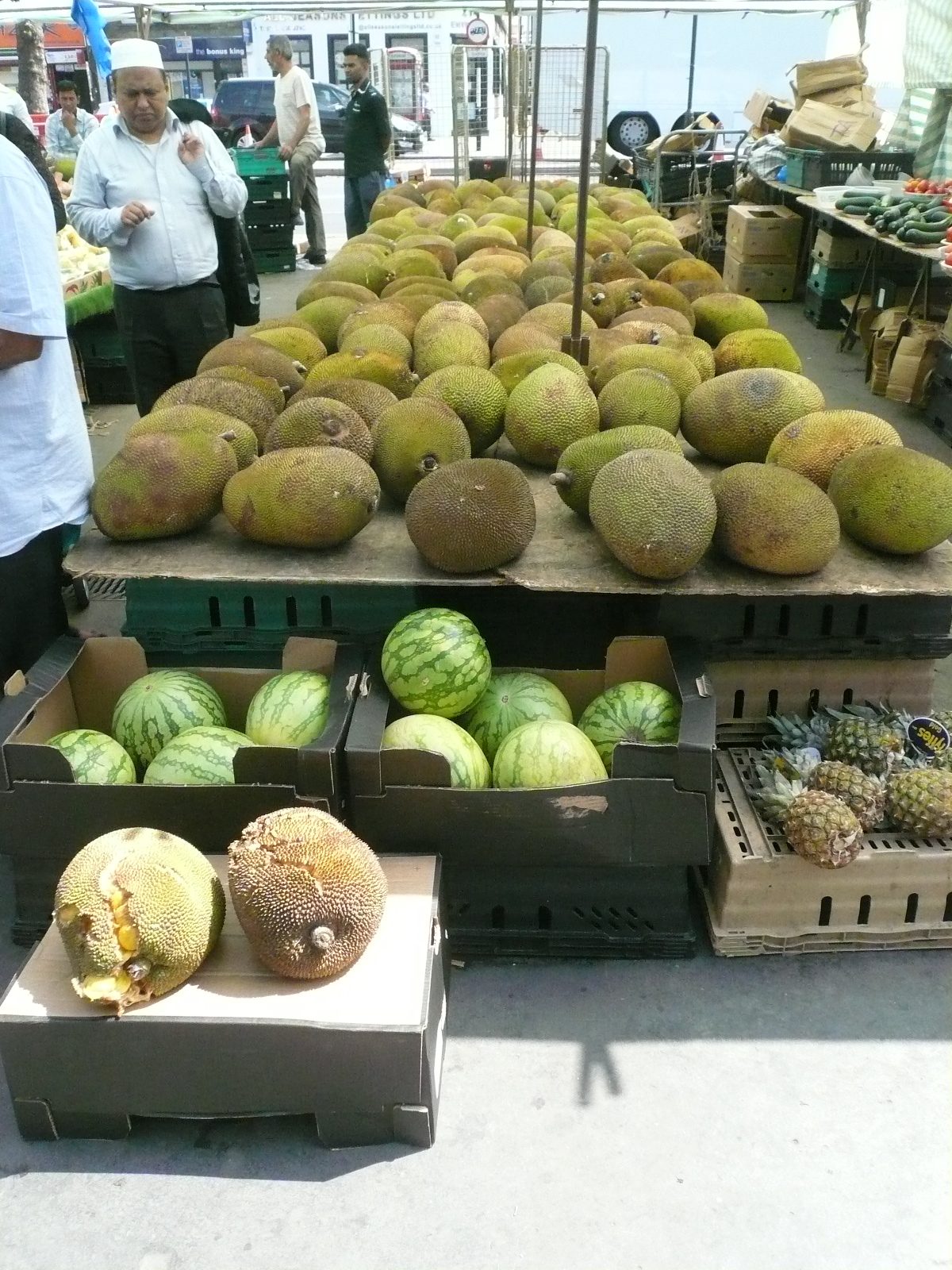
"id": 372,
"title": "Whitechapel Market in July 2015",
"author": {
"id": 10,
"username": "PGuillery"
},
"feature": {
"id": 1698,
"type": "Feature",
"geometry": {
"type": "MultiPolygon",
"coordinates": [
[
[
[
-0.062755898137067,
51.51857235799611
],
[
-0.058216859270041,
51.51960039921044
],
[
-0.058148482851386,
51.51948612756745
],
[
-0.061091729886378,
51.51883423152082
],
[
-0.061616259170046,
51.51871888429734
],
[
-0.06270768344222,
51.51847582817058
],
[
-0.062755898137067,
51.51857235799611
]
]
]
]
},
"properties": {
"b_number": "",
"b_name": "",
"street": "Whitechapel Road",
"address": "Whitechapel Market, Whitechapel Road",
"feature_type": "PLACE",
"count": 48,
"search_str": "Whitechapel Market, Whitechapel Road"
},
"tags": []
},
"file": "https://surveyoflondon.org/media/uploads/features/1698/P1160518.JPG",
"description": "",
"copyright": false,
"created": "2016-09-06"
},
{
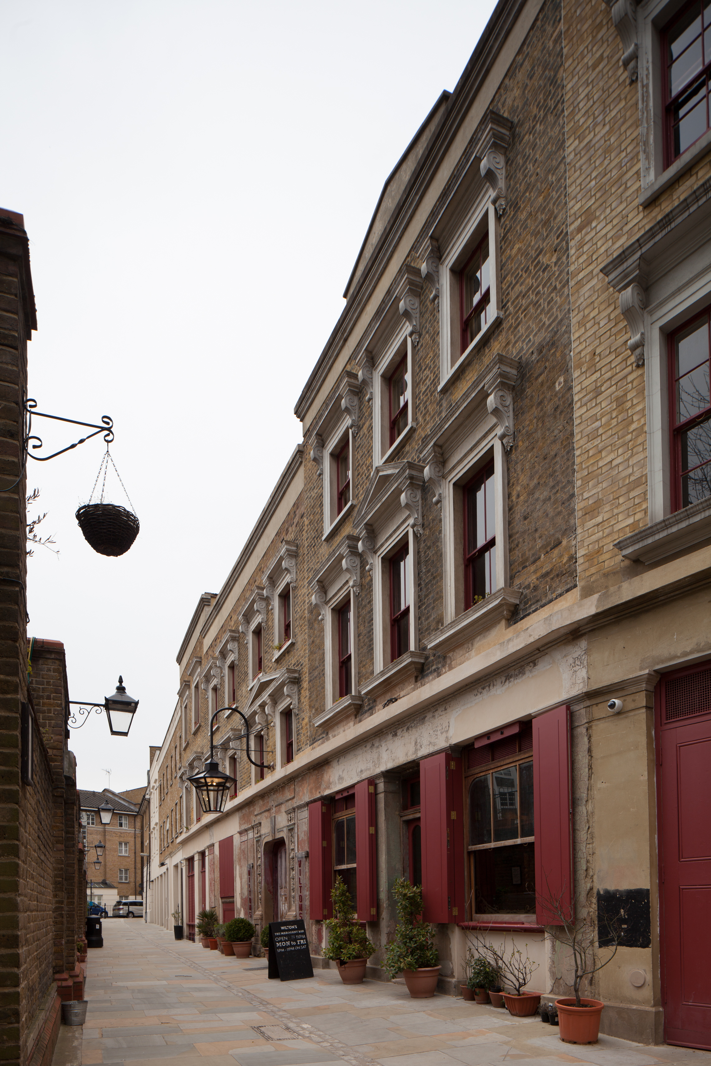
"id": 451,
"title": "1-4 Graces Alley in 2015",
"author": {
"id": 18,
"username": "shahedsaleem"
},
"feature": {
"id": 1392,
"type": "Feature",
"geometry": {
"type": "MultiPolygon",
"coordinates": [
[
[
[
-0.066897382560978,
51.51047185184401
],
[
-0.066897150320887,
51.510543358461234
],
[
-0.066964310871808,
51.51054939761258
],
[
-0.067031736648758,
51.51055546057313
],
[
-0.067033159620775,
51.51054385631446
],
[
-0.067124985785421,
51.51055249759738
],
[
-0.067119646867151,
51.510573278551
],
[
-0.067097006082147,
51.51057630354935
],
[
-0.067064204301052,
51.510690877240464
],
[
-0.066813595729658,
51.51071232706844
],
[
-0.066808845661517,
51.510692481646345
],
[
-0.066750873450789,
51.51069733978511
],
[
-0.066731248551372,
51.51054469318253
],
[
-0.066802206282857,
51.51054121190127
],
[
-0.066805453245557,
51.51046452251118
],
[
-0.066897382560978,
51.51047185184401
]
]
]
]
},
"properties": {
"b_number": "1",
"b_name": "Wilton's Music Hall",
"street": "Graces Alley",
"address": "Wilton's Music Hall, 1 Graces Alley",
"feature_type": "WHITECHAPEL_BUILDING",
"count": 23,
"search_str": "Wilton's Music Hall"
},
"tags": [
"Wilton's Music Hall"
]
},
"file": "https://surveyoflondon.org/media/uploads/features/1392/IMG_1647.jpg",
"description": "",
"copyright": false,
"created": "2016-11-15"
},
{
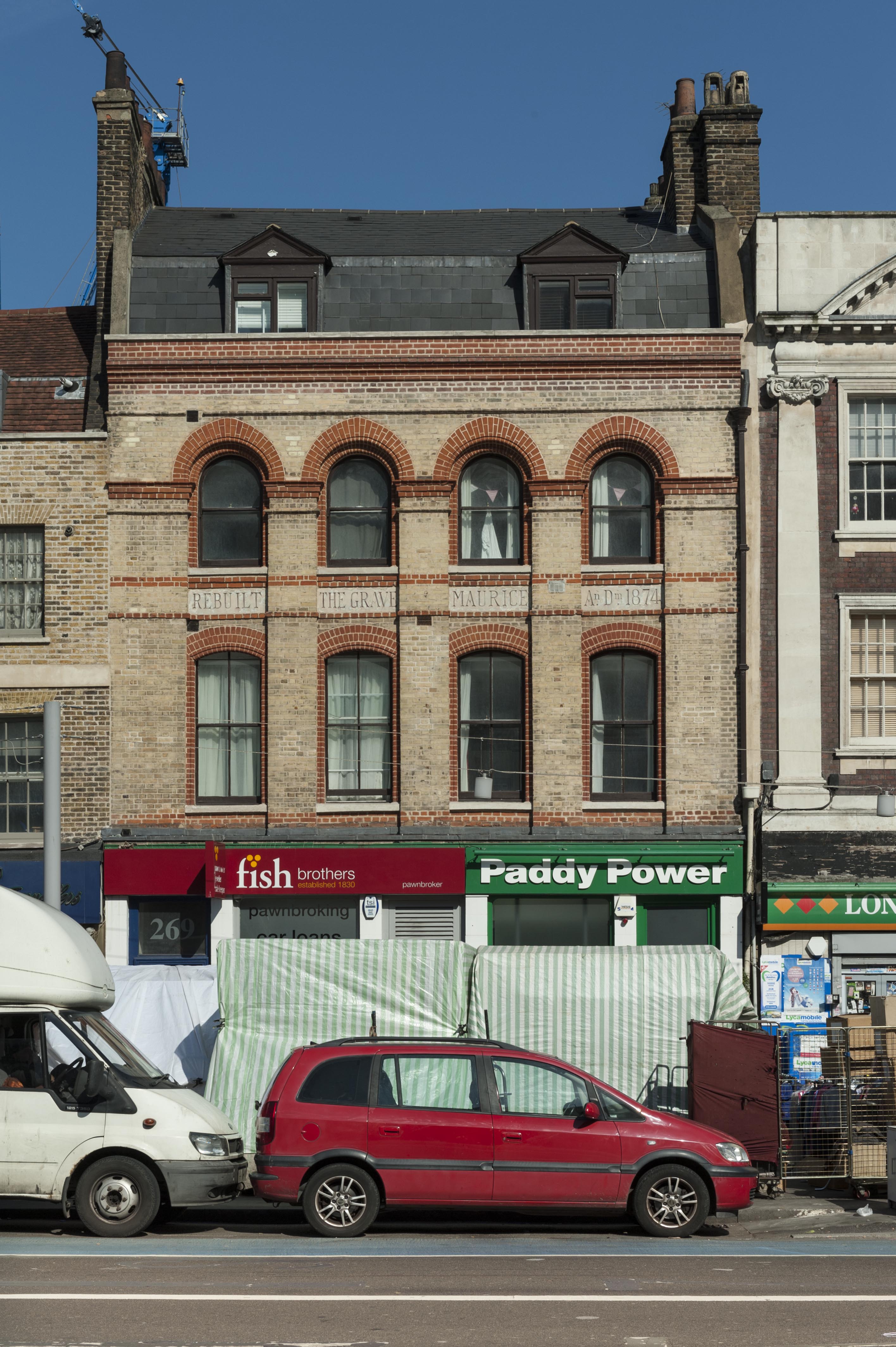
"id": 207,
"title": "269 Whitechapel Road in 2016",
"author": {
"id": 27,
"username": "DerekKendall"
},
"feature": {
"id": 496,
"type": "Feature",
"geometry": {
"type": "MultiPolygon",
"coordinates": [
[
[
[
-0.060071633969903,
51.51936604849084
],
[
-0.059977916919255,
51.519232761124464
],
[
-0.06009954482173,
51.5192052830406
],
[
-0.060195494903185,
51.519337366967875
],
[
-0.060071633969903,
51.51936604849084
]
]
]
]
},
"properties": {
"b_number": "269",
"b_name": "",
"street": "Whitechapel Road",
"address": "Former Grave Maurice public house, 269 Whitechapel Road",
"feature_type": "WHITECHAPEL_BUILDING",
"count": 9,
"search_str": "Former Grave Maurice public house, 269 Whitechapel Road"
},
"tags": []
},
"file": "https://surveyoflondon.org/media/uploads/features/496/SoL%20Whitechapel100015.jpg",
"description": "",
"copyright": true,
"created": "2016-07-28"
},
{
"id": 507,
"title": "Eastern District Post Office, Raven Row, photographed in 1956",
"author": {
"id": 37,
"username": "HistoricEngland"
},
"feature": {
"id": 1227,
"type": "Feature",
"geometry": {
"type": "MultiPolygon",
"coordinates": [
[
[
[
-0.058796596412285,
51.51912310433929
],
[
-0.057896913703648,
51.51929776742821
],
[
-0.057646155790783,
51.51878891291734
],
[
-0.057726960269829,
51.518773414154225
],
[
-0.057663251646104,
51.51864413103036
],
[
-0.058003630287349,
51.51857884372657
],
[
-0.058058858263524,
51.51869091551577
],
[
-0.058183402152667,
51.518667026720365
],
[
-0.058192757854339,
51.51868601168758
],
[
-0.058228318266828,
51.5186791908066
],
[
-0.058378536493976,
51.518984017000164
],
[
-0.058419330251411,
51.51897619228836
],
[
-0.058450444692009,
51.51903932977383
],
[
-0.05871794555232,
51.51898801961153
],
[
-0.058796596412285,
51.51912310433929
]
]
]
]
},
"properties": {
"b_number": "180–206",
"b_name": "East London Mail Centre and E1 Delivery Office",
"street": "Whitechapel Road",
"address": "East London Mail Centre and E1 Delivery Office",
"feature_type": "WHITECHAPEL_BUILDING",
"count": 14,
"search_str": "East London Mail Centre and E1 Delivery Office"
},
"tags": []
},
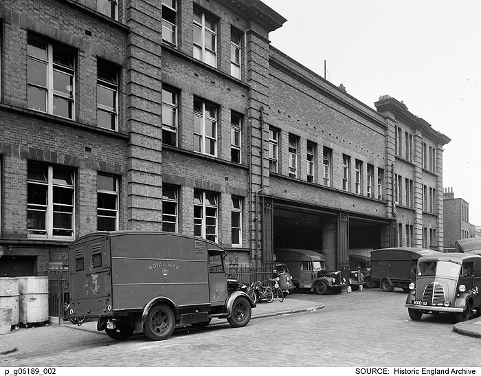
"file": "https://surveyoflondon.org/media/uploads/features/1227/p_g06189_002.jpg",
"description": "The van entrance to the old Eastern District Post Office in Raven Row, looking north-east. \nReproduced by permission of the Historic England Archive (see archive.HistoricEngland.org.uk)",
"copyright": false,
"created": "2017-03-08"
},
{
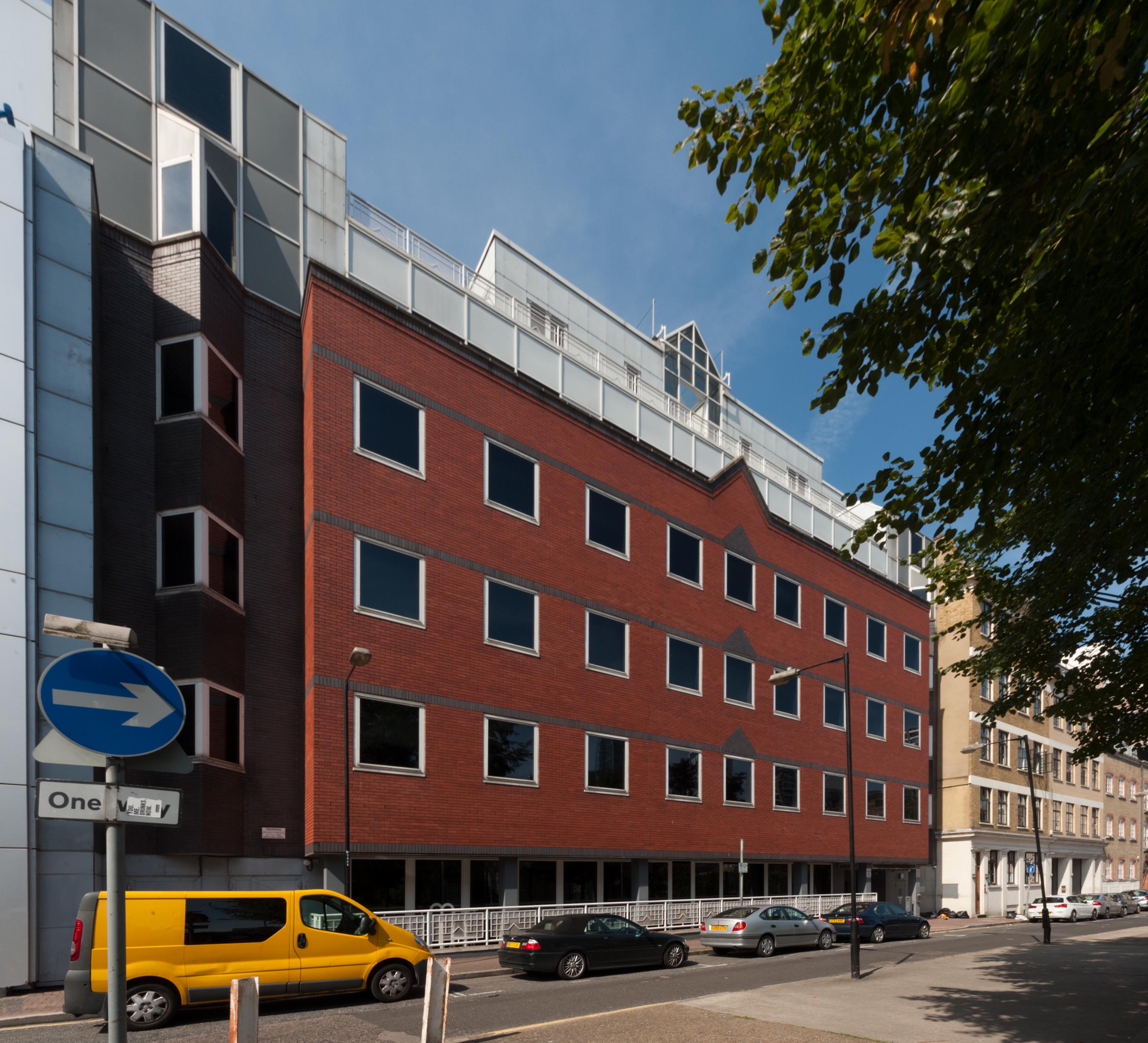
"id": 556,
"title": "Beagle House, Leman Street entrance, 2005",
"author": {
"id": 22,
"username": "sarahannmilne"
},
"feature": {
"id": 31,
"type": "Feature",
"geometry": {
"type": "MultiPolygon",
"coordinates": [
[
[
[
-0.071887127893096,
51.51411332216963
],
[
-0.071969571208431,
51.51419942371175
],
[
-0.071924976063445,
51.5142326534243
],
[
-0.071948658834375,
51.51426657781599
],
[
-0.071835003267539,
51.5143227101345
],
[
-0.071686234045495,
51.5143855464125
],
[
-0.071543425125636,
51.514422007266134
],
[
-0.071435516621411,
51.51444471123646
],
[
-0.071395570736125,
51.51440565693606
],
[
-0.07134776228325,
51.51441310661883
],
[
-0.0712722588033,
51.51434177428325
],
[
-0.071303428297817,
51.51432370241673
],
[
-0.071263213192454,
51.5142868603796
],
[
-0.071374185885124,
51.514224080818835
],
[
-0.071528097019019,
51.51416207230522
],
[
-0.071692419185678,
51.51411901969061
],
[
-0.071795120500786,
51.514091351954804
],
[
-0.071848759931576,
51.5141216554061
],
[
-0.071887127893096,
51.51411332216963
]
]
]
]
},
"properties": {
"b_number": "1",
"b_name": "Maersk House",
"street": "Braham Street",
"address": "Maersk House (formerly Beagle House), 1 Braham Street",
"feature_type": "WHITECHAPEL_BUILDING",
"count": 20,
"search_str": "Maersk House"
},
"tags": []
},
"file": "https://surveyoflondon.org/media/uploads/features/31/May%202005%20(3).jpg",
"description": "Photograph courtesy of Richard Mellor ",
"copyright": false,
"created": "2017-04-25"
},
{
"id": 1365,
"title": "Whitechapel Gallery and adjacent buildings in 2018",
"author": {
"id": 27,
"username": "DerekKendall"
},
"feature": {
"id": 388,
"type": "Feature",
"geometry": {
"type": "MultiPolygon",
"coordinates": [
[
[
[
-0.070444999065034,
51.516268747815374
],
[
-0.070444987924411,
51.51626873485329
],
[
-0.070191183413983,
51.515943931980686
],
[
-0.07030660834808,
51.51590379026539
],
[
-0.070366244631028,
51.515976197771835
],
[
-0.070382361693267,
51.515991401135054
],
[
-0.070520839263358,
51.51595250664741
],
[
-0.070554830739485,
51.51599269532529
],
[
-0.070536539383068,
51.51600061037052
],
[
-0.070670856421127,
51.51616489931219
],
[
-0.070742289448097,
51.51614590797361
],
[
-0.070776212105595,
51.51618683122123
],
[
-0.070667546631979,
51.51621488771394
],
[
-0.070691375516433,
51.5162459029802
],
[
-0.070587290171224,
51.51627187207374
],
[
-0.070551087840537,
51.51627061113889
],
[
-0.07048764157752,
51.51628876524349
],
[
-0.070470164368826,
51.516262702692195
],
[
-0.070444999076386,
51.51626873811411
],
[
-0.070444999065034,
51.516268747815374
]
]
]
]
},
"properties": {
"b_number": "77–82",
"b_name": "Whitechapel Gallery, 77–82 Whitechapel High Street",
"street": "Whitechapel High Street",
"address": " 77–82 Whitechapel High Street",
"feature_type": "WHITECHAPEL_BUILDING",
"count": 13,
"search_str": "Whitechapel Gallery, 77–82 Whitechapel High Street"
},
"tags": []
},
"file": "https://surveyoflondon.org/media/uploads/features/388/SoL%20Whitechapel%20102225.jpg",
"description": "",
"copyright": true,
"created": "2018-10-10"
},
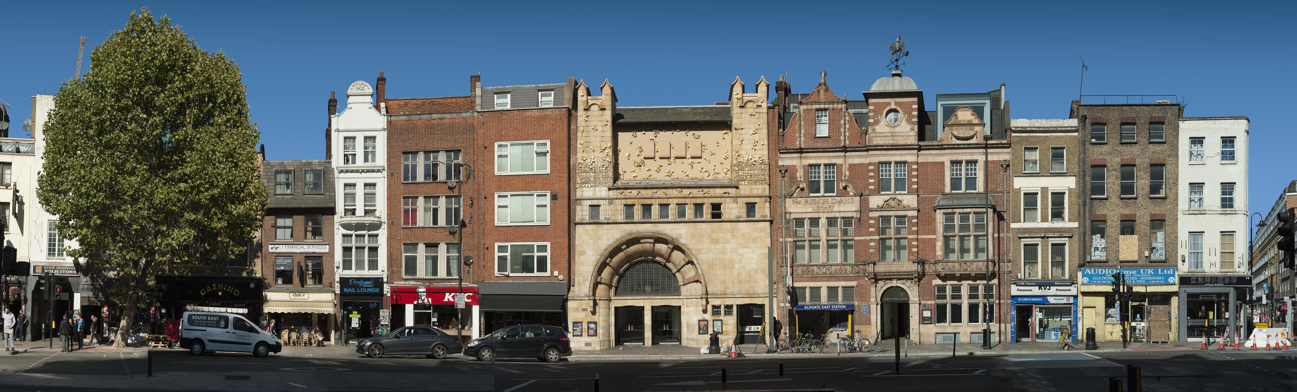
{
"id": 1366,
"title": "Whitechapel High Street's north side, panorama of east end in 2018",
"author": {
"id": 27,
"username": "DerekKendall"
},
"feature": {
"id": 388,
"type": "Feature",
"geometry": {
"type": "MultiPolygon",
"coordinates": [
[
[
[
-0.070444999065034,
51.516268747815374
],
[
-0.070444987924411,
51.51626873485329
],
[
-0.070191183413983,
51.515943931980686
],
[
-0.07030660834808,
51.51590379026539
],
[
-0.070366244631028,
51.515976197771835
],
[
-0.070382361693267,
51.515991401135054
],
[
-0.070520839263358,
51.51595250664741
],
[
-0.070554830739485,
51.51599269532529
],
[
-0.070536539383068,
51.51600061037052
],
[
-0.070670856421127,
51.51616489931219
],
[
-0.070742289448097,
51.51614590797361
],
[
-0.070776212105595,
51.51618683122123
],
[
-0.070667546631979,
51.51621488771394
],
[
-0.070691375516433,
51.5162459029802
],
[
-0.070587290171224,
51.51627187207374
],
[
-0.070551087840537,
51.51627061113889
],
[
-0.07048764157752,
51.51628876524349
],
[
-0.070470164368826,
51.516262702692195
],
[
-0.070444999076386,
51.51626873811411
],
[
-0.070444999065034,
51.516268747815374
]
]
]
]
},
"properties": {
"b_number": "77–82",
"b_name": "Whitechapel Gallery, 77–82 Whitechapel High Street",
"street": "Whitechapel High Street",
"address": " 77–82 Whitechapel High Street",
"feature_type": "WHITECHAPEL_BUILDING",
"count": 13,
"search_str": "Whitechapel Gallery, 77–82 Whitechapel High Street"
},
"tags": []
},
"file": "https://surveyoflondon.org/media/uploads/features/388/SoL%20Whitechapel%20102232.jpg",
"description": "",
"copyright": true,
"created": "2018-10-10"
},
{
"id": 842,
"title": "Rear facade to West Tenter Street, August 2017",
"author": {
"id": 27,
"username": "DerekKendall"
},
"feature": {
"id": 52,
"type": "Feature",
"geometry": {
"type": "MultiPolygon",
"coordinates": [
[
[
[
-0.072522936465309,
51.51209913871823
],
[
-0.072966657695433,
51.51206015611643
],
[
-0.073023989371249,
51.51238161262953
],
[
-0.072581805485479,
51.51241248317473
],
[
-0.072522936465309,
51.51209913871823
]
]
]
]
},
"properties": {
"b_number": "69",
"b_name": "Mansell Court, 69 Mansell Street",
"street": "Mansell Street",
"address": "Mansell Court, 69 Mansell Street",
"feature_type": "WHITECHAPEL_BUILDING",
"count": 4,
"search_str": "Mansell Court, 69 Mansell Street"
},
"tags": []
},
"file": "https://surveyoflondon.org/media/uploads/features/52/SoL%20Whitechapel%20101576.jpg",
"description": "",
"copyright": true,
"created": "2017-09-12"
},
{
"id": 469,
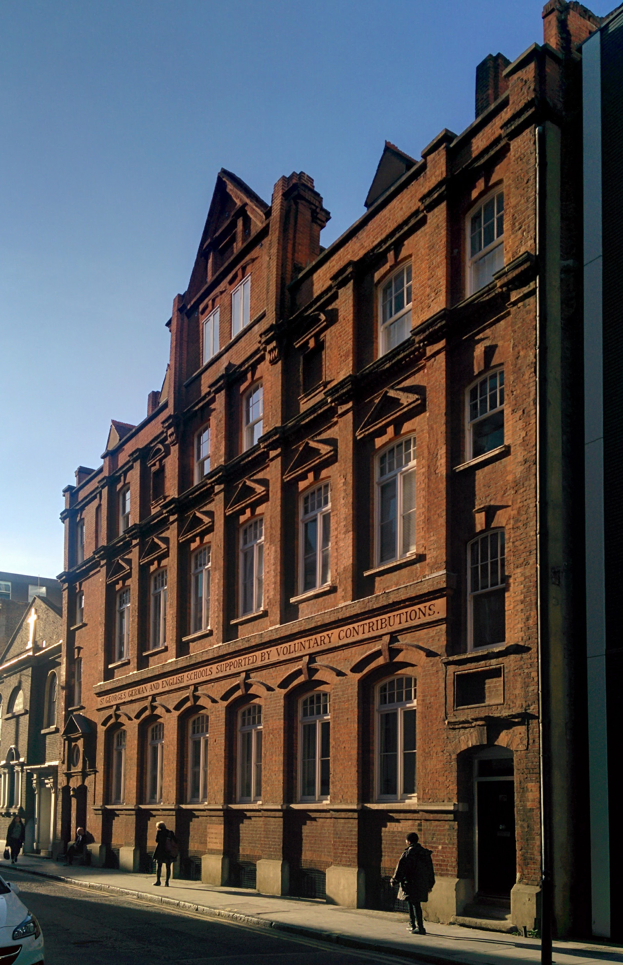
"title": "St George's German and English Schools",
"author": {
"id": 86,
"username": "sarah"
},
"feature": {
"id": 18,
"type": "Feature",
"geometry": {
"type": "MultiPolygon",
"coordinates": [
[
[
[
-0.070376872840044,
51.51411288775777
],
[
-0.070160905948437,
51.51421296101531
],
[
-0.070191890237181,
51.51424342945293
],
[
-0.070147651440662,
51.51426163662261
],
[
-0.070061827306772,
51.5141696705794
],
[
-0.070313812852204,
51.514054169773665
],
[
-0.070376872840044,
51.51411288775777
]
]
]
]
},
"properties": {
"b_number": "55-57",
"b_name": "St George's German and English School",
"street": "Alie Street",
"address": "St George's Schools, 55-57 Alie Street",
"feature_type": "WHITECHAPEL_BUILDING",
"count": 9,
"search_str": "St George's German and English School"
},
"tags": []
},
"file": "https://surveyoflondon.org/media/uploads/features/18/IMG_20161031_143204.jpg",
"description": "",
"copyright": false,
"created": "2016-12-15"
},
{
"id": 1342,
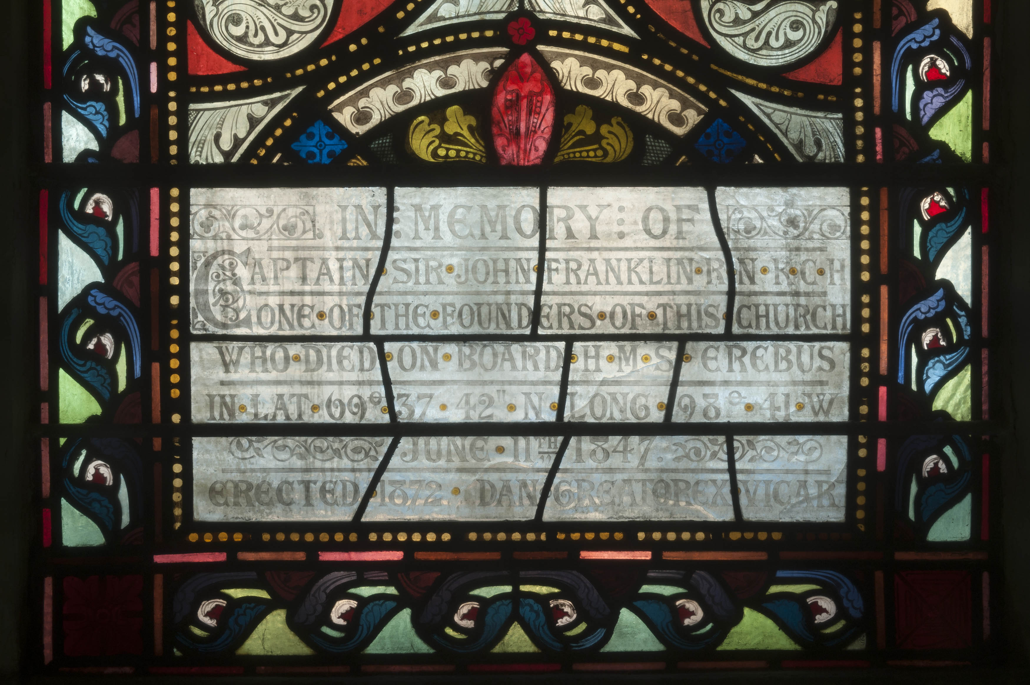
"title": "St Paul, Dock Street, west window inscription, August 2018",
"author": {
"id": 27,
"username": "DerekKendall"
},
"feature": {
"id": 1371,
"type": "Feature",
"geometry": {
"type": "MultiPolygon",
"coordinates": [
[
[
[
-0.068057208494737,
51.50994707934026
],
[
-0.068128144074089,
51.510098245489516
],
[
-0.067833383002716,
51.510150364911766
],
[
-0.0678086195768,
51.51009705078618
],
[
-0.067791713048129,
51.51010026052854
],
[
-0.067768418439094,
51.51005627276704
],
[
-0.06778532495294,
51.510053063027875
],
[
-0.06776230081429,
51.510002684478415
],
[
-0.068057208494737,
51.50994707934026
]
]
]
]
},
"properties": {
"b_number": "",
"b_name": "St Paul's Church",
"street": "Dock Street",
"address": "Former Church of St Paul, Dock Street",
"feature_type": "WHITECHAPEL_BUILDING",
"count": 16,
"search_str": "St Paul's Church"
},
"tags": [
"Capt. Robert J. Elliot",
"Henry Roberts",
"James Pennethorne",
"Rev. Dan Greatorex",
"Rev. Joseph Williamson",
"William Cubitt"
]
},
"file": "https://surveyoflondon.org/media/uploads/features/1371/SoL%20Whitechapel%20102127.jpg",
"description": "",
"copyright": true,
"created": "2018-08-13"
},
{
"id": 562,
"title": "Adler Street from the east in April 2017",
"author": {
"id": 27,
"username": "DerekKendall"
},
"feature": {
"id": 98,
"type": "Feature",
"geometry": {
"type": "MultiPolygon",
"coordinates": [
[
[
[
-0.067624278430134,
51.51582673751899
],
[
-0.067266745341531,
51.51526486267481
],
[
-0.067443979235003,
51.51522070947007
],
[
-0.067791271739465,
51.515783687309835
],
[
-0.067624278430134,
51.51582673751899
]
]
]
]
},
"properties": {
"b_number": "1-13",
"b_name": "",
"street": "Adler Street",
"address": "1-13 Adler Street",
"feature_type": "WHITECHAPEL_BUILDING",
"count": 7,
"search_str": "1-13 Adler Street"
},
"tags": [
"flatted factory",
"London County Council"
]
},
"file": "https://surveyoflondon.org/media/uploads/features/98/SoL%20Whitechapel%20100556.jpg",
"description": "",
"copyright": true,
"created": "2017-05-03"
},
{
"id": 1444,
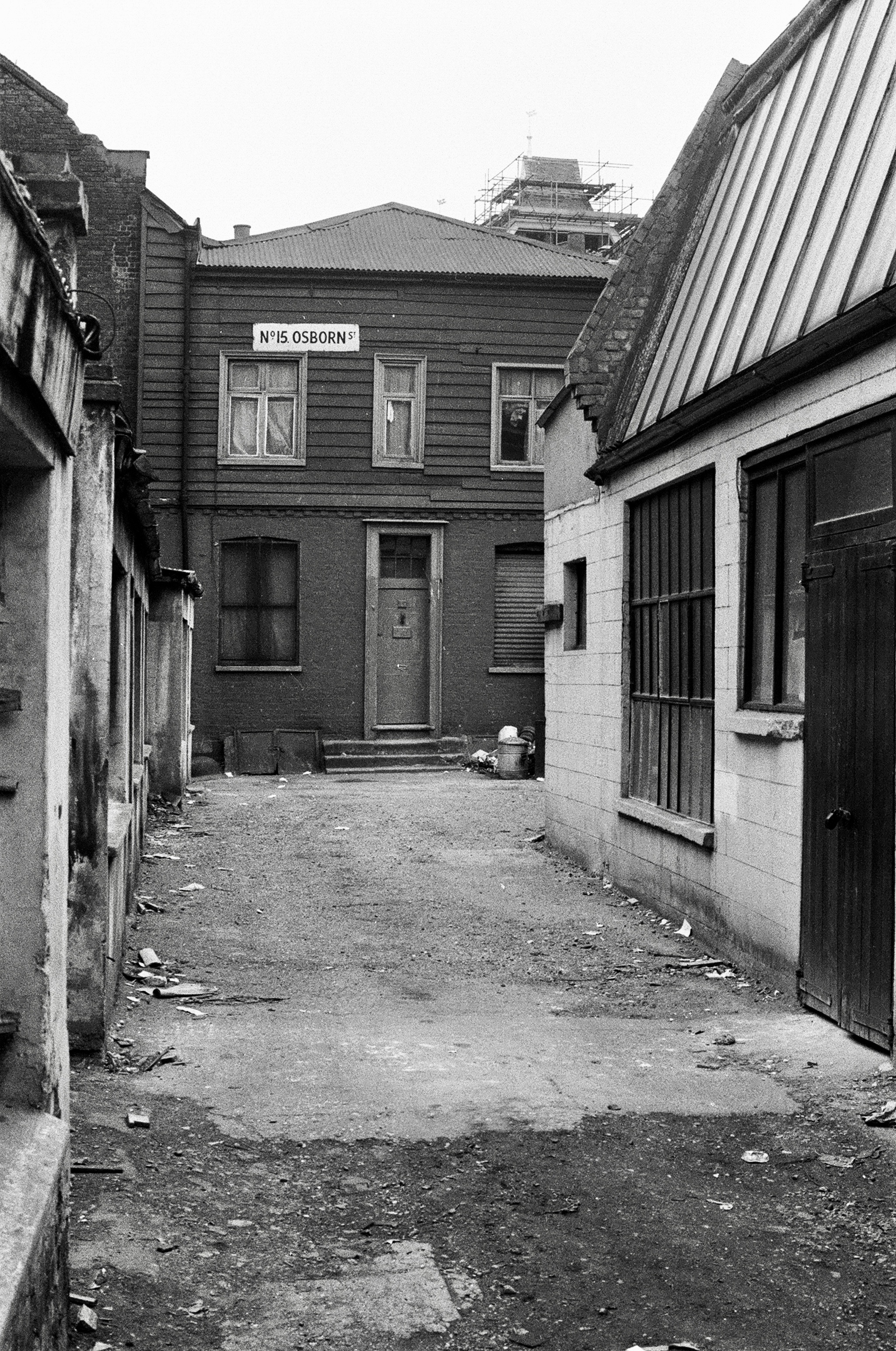
"title": "view to 15 Osborn Street at back of yard in the early 1970s (photograph by Dan Cruickshank)",
"author": {
"id": 268,
"username": "DanCruickshank"
},
"feature": {
"id": 395,
"type": "Feature",
"geometry": {
"type": "MultiPolygon",
"coordinates": [
[
[
[
-0.070007799873136,
51.51637973313135
],
[
-0.070147967634972,
51.516342205661495
],
[
-0.07014797927071,
51.51634220941502
],
[
-0.070164377260389,
51.51636340856783
],
[
-0.070019246506869,
51.51639433471956
],
[
-0.070007799873136,
51.51637973313135
]
]
]
]
},
"properties": {
"b_number": "15",
"b_name": "15 Osborn Street",
"street": "Osborn Street",
"address": "15 Osborn Street",
"feature_type": "WHITECHAPEL_BUILDING",
"count": 4,
"search_str": "15 Osborn Street"
},
"tags": []
},
"file": "https://surveyoflondon.org/media/uploads/features/395/00170003.jpg",
"description": "",
"copyright": true,
"created": "2018-11-16"
},
{
"id": 1298,
"title": "45 Royal Mint Street in 2018",
"author": {
"id": 27,
"username": "DerekKendall"
},
"feature": {
"id": 1339,
"type": "Feature",
"geometry": {
"type": "MultiPolygon",
"coordinates": [
[
[
[
-0.070363566738003,
51.51041356385847
],
[
-0.070245322810359,
51.51044134237947
],
[
-0.070236279327758,
51.51042607949867
],
[
-0.070218201553316,
51.51043094496562
],
[
-0.070184201425816,
51.510378368893306
],
[
-0.070205031981235,
51.51037312373332
],
[
-0.070198093721134,
51.510362394751716
],
[
-0.070265774630205,
51.5103453525802
],
[
-0.070273210935602,
51.510356851687646
],
[
-0.070321035546837,
51.5103447004069
],
[
-0.070363566738003,
51.51041356385847
]
]
]
]
},
"properties": {
"b_number": "45",
"b_name": "",
"street": "Royal Mint Street",
"address": "45 Royal Mint Street",
"feature_type": "WHITECHAPEL_BUILDING",
"count": 7,
"search_str": "45 Royal Mint Street"
},
"tags": []
},
"file": "https://surveyoflondon.org/media/uploads/features/1339/SoL%20Whitechapel%20102041.jpg",
"description": "",
"copyright": true,
"created": "2018-08-13"
},
{
"id": 453,
"title": "2-8 Cable Street in 2015",
"author": {
"id": 18,
"username": "shahedsaleem"
},
"feature": {
"id": 1377,
"type": "Feature",
"geometry": {
"type": "MultiPolygon",
"coordinates": [
[
[
[
-0.068172631919119,
51.510747029802005
],
[
-0.068154454891722,
51.510665529951076
],
[
-0.068226122571781,
51.5106672919737
],
[
-0.068245676894044,
51.510744647693585
],
[
-0.068172631919119,
51.510747029802005
]
]
]
]
},
"properties": {
"b_number": "4",
"b_name": "",
"street": "Cable Street",
"address": "4 Cable Street",
"feature_type": "WHITECHAPEL_BUILDING",
"count": 4,
"search_str": "4 Cable Street"
},
"tags": []
},
"file": "https://surveyoflondon.org/media/uploads/features/1377/IMG_1663.jpg",
"description": "",
"copyright": false,
"created": "2016-11-15"
},
{
"id": 440,
"title": "7 Dock Street seen c. 1905",
"author": {
"id": 25,
"username": "Aileen"
},
"feature": {
"id": 1381,
"type": "Feature",
"geometry": {
"type": "MultiPolygon",
"coordinates": [
[
[
[
-0.068302205657116,
51.51049311218949
],
[
-0.068314456511409,
51.510539388806166
],
[
-0.068187106441221,
51.51055444180999
],
[
-0.068172466212416,
51.51051236004802
],
[
-0.068302205657116,
51.51049311218949
]
]
]
]
},
"properties": {
"b_number": "7",
"b_name": "",
"street": "Dock Street",
"address": "Wombat's City Hostel (extension), 7 Dock Street",
"feature_type": "WHITECHAPEL_BUILDING",
"count": 2,
"search_str": "Wombat's City Hostel (extension), 7 Dock Street"
},
"tags": []
},
"file": "https://surveyoflondon.org/media/uploads/features/1381/eBay%20postcard%20bought%201%20Nov%202016.jpg",
"description": "A coloured postcard showing the building on the site of the Wombat's extension, then part of the Sailors' Home",
"copyright": false,
"created": "2016-11-03"
},
{
"id": 454,
"title": "141 Leman Street in 2015",
"author": {
"id": 18,
"username": "shahedsaleem"
},
"feature": {
"id": 1280,
"type": "Feature",
"geometry": {
"type": "MultiPolygon",
"coordinates": [
[
[
[
-0.06853233892788,
51.511294270529675
],
[
-0.06831779901845,
51.51132677289194
],
[
-0.068287135103738,
51.51127470378602
],
[
-0.068485635339,
51.51124398813024
],
[
-0.06853233892788,
51.511294270529675
]
]
]
]
},
"properties": {
"b_number": "141",
"b_name": "",
"street": "Leman Street",
"address": "The Empress, 141 Leman Street",
"feature_type": "WHITECHAPEL_BUILDING",
"count": 3,
"search_str": "The Empress, 141 Leman Street"
},
"tags": [
"John Bridgeman"
]
},
"file": "https://surveyoflondon.org/media/uploads/features/1280/IMG_1672.jpg",
"description": "",
"copyright": false,
"created": "2016-11-15"
},
{
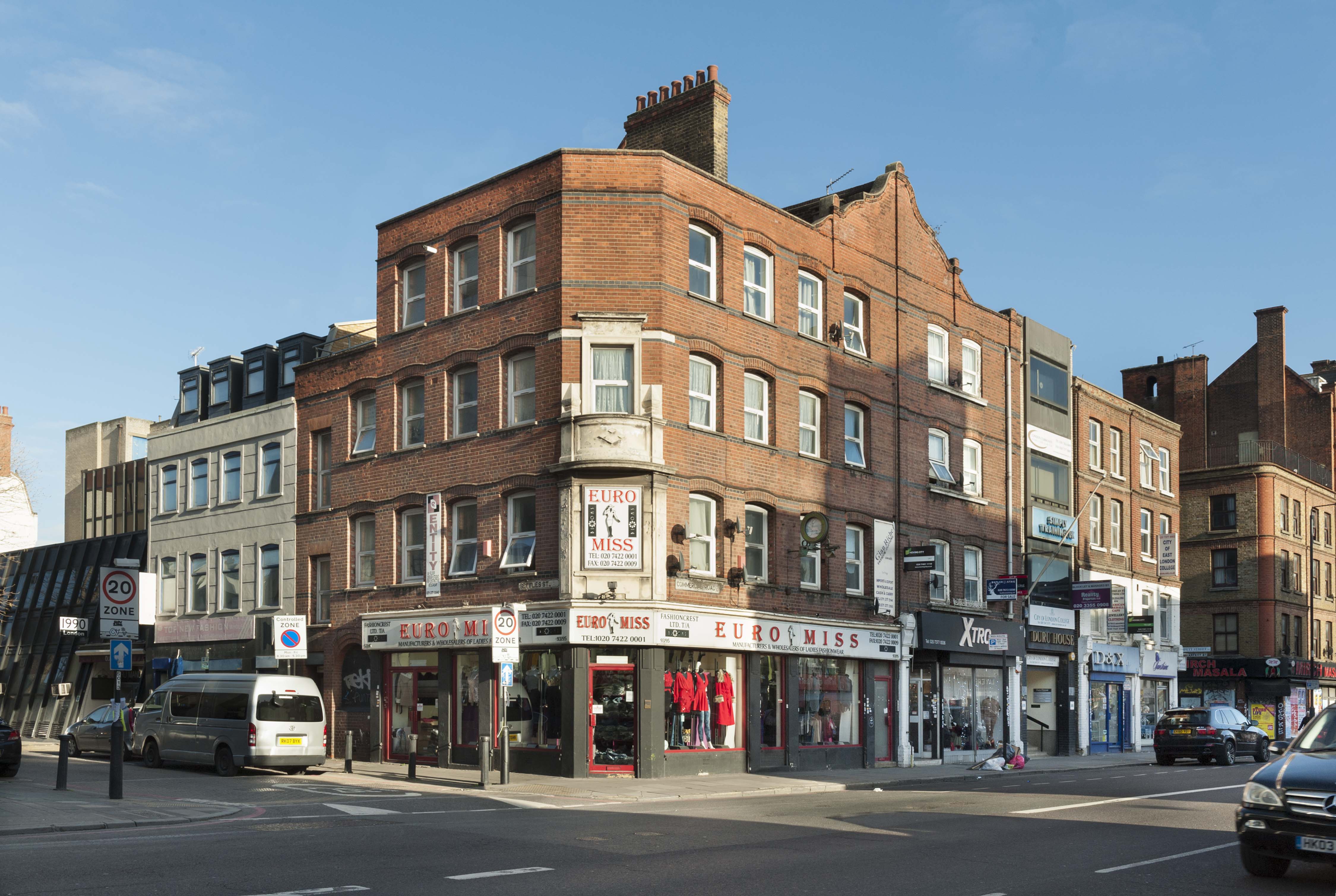
"id": 542,
"title": "93-95 Commercial Road in early 2017",
"author": {
"id": 27,
"username": "DerekKendall"
},
"feature": {
"id": 835,
"type": "Feature",
"geometry": {
"type": "MultiPolygon",
"coordinates": [
[
[
[
-0.064136990564141,
51.51491832973215
],
[
-0.064044867412151,
51.51491680887487
],
[
-0.064046975783334,
51.51485297996394
],
[
-0.06413550986488,
51.51485444158734
],
[
-0.064135509864886,
51.514854441587666
],
[
-0.06413550986488,
51.51485444158734
],
[
-0.064174922862253,
51.514856588997844
],
[
-0.064198797293735,
51.51487229473781
],
[
-0.064196803536207,
51.51491931404737
],
[
-0.064136990493441,
51.51491832668164
],
[
-0.064136990564141,
51.51491832973215
]
]
]
]
},
"properties": {
"b_number": "93-95",
"b_name": "",
"street": "Commercial Road",
"address": "93-95 Commercial Road",
"feature_type": "WHITECHAPEL_BUILDING",
"count": 2,
"search_str": "93-95 Commercial Road"
},
"tags": []
},
"file": "https://surveyoflondon.org/media/uploads/features/835/SoL%20Whitechapel%20100441.jpg",
"description": "",
"copyright": true,
"created": "2017-04-10"
},
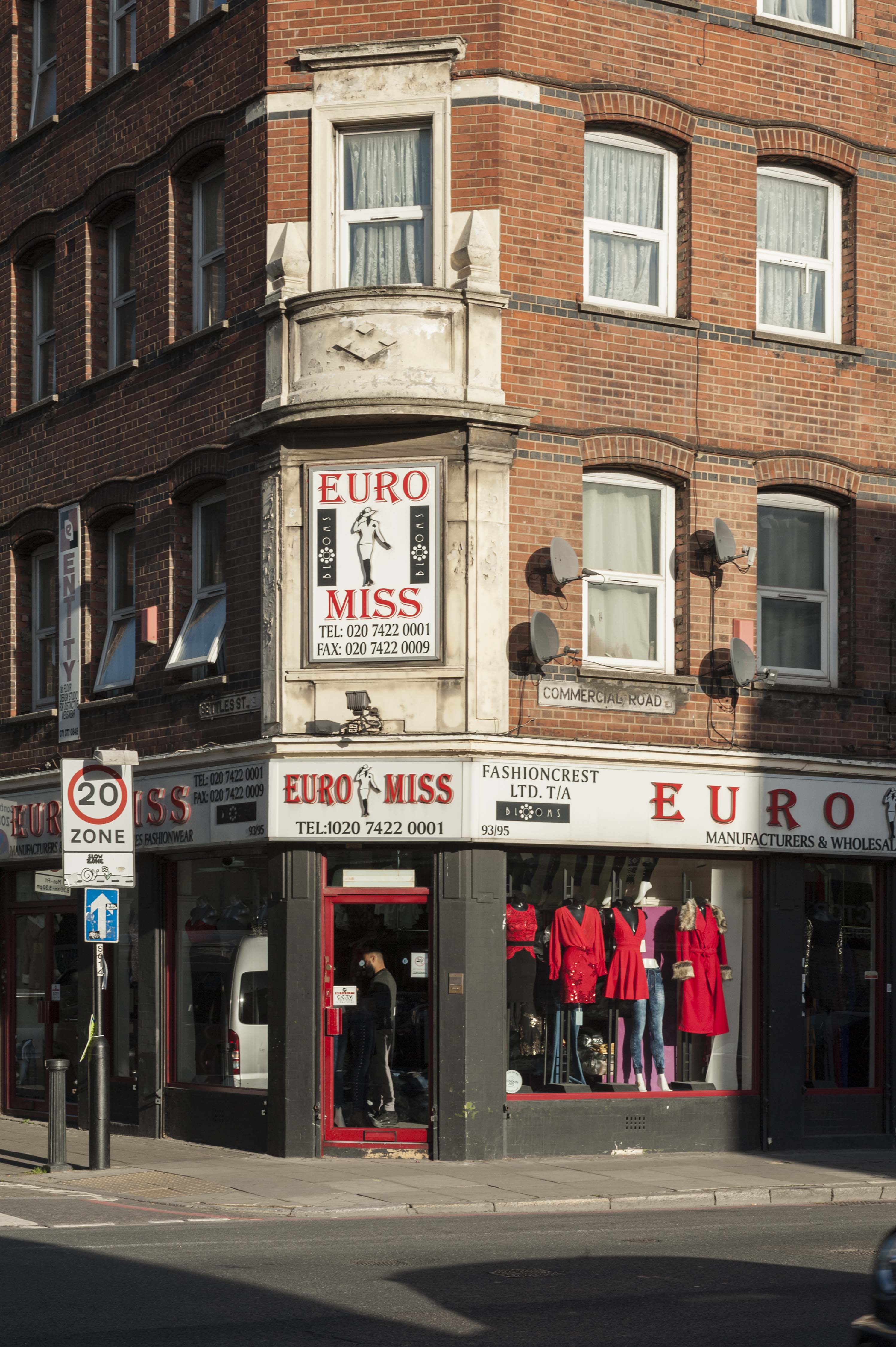
{
"id": 543,
"title": "93-95 Commercial Road in early 2017, entrance detail",
"author": {
"id": 27,
"username": "DerekKendall"
},
"feature": {
"id": 835,
"type": "Feature",
"geometry": {
"type": "MultiPolygon",
"coordinates": [
[
[
[
-0.064136990564141,
51.51491832973215
],
[
-0.064044867412151,
51.51491680887487
],
[
-0.064046975783334,
51.51485297996394
],
[
-0.06413550986488,
51.51485444158734
],
[
-0.064135509864886,
51.514854441587666
],
[
-0.06413550986488,
51.51485444158734
],
[
-0.064174922862253,
51.514856588997844
],
[
-0.064198797293735,
51.51487229473781
],
[
-0.064196803536207,
51.51491931404737
],
[
-0.064136990493441,
51.51491832668164
],
[
-0.064136990564141,
51.51491832973215
]
]
]
]
},
"properties": {
"b_number": "93-95",
"b_name": "",
"street": "Commercial Road",
"address": "93-95 Commercial Road",
"feature_type": "WHITECHAPEL_BUILDING",
"count": 2,
"search_str": "93-95 Commercial Road"
},
"tags": []
},
"file": "https://surveyoflondon.org/media/uploads/features/835/SoL%20Whitechapel%20100443.jpg",
"description": "",
"copyright": true,
"created": "2017-04-10"
},
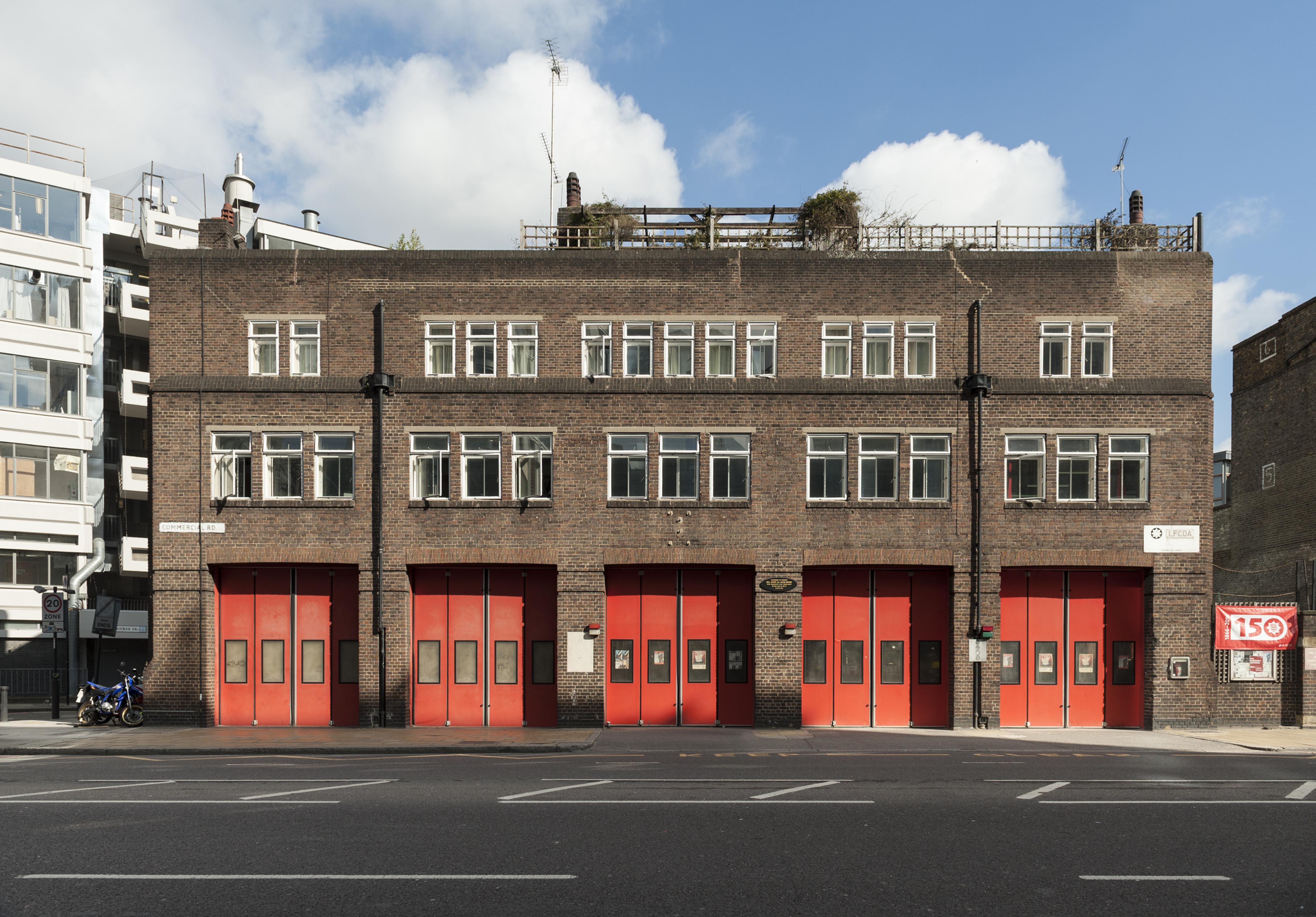
{
"id": 58,
"title": "Whitechapel Fire Station",
"author": {
"id": 27,
"username": "DerekKendall"
},
"feature": {
"id": 101,
"type": "Feature",
"geometry": {
"type": "MultiPolygon",
"coordinates": [
[
[
[
-0.069645462493737,
51.515142463727784
],
[
-0.069222888876109,
51.51529835788027
],
[
-0.069232652835499,
51.51526035048273
],
[
-0.069278826604558,
51.51522930389526
],
[
-0.06930377951036,
51.515073225280084
],
[
-0.069647827894883,
51.515086522706206
],
[
-0.069645462493737,
51.515142463727784
]
]
]
]
},
"properties": {
"b_number": "",
"b_name": "Whitechapel Fire Station",
"street": "Manningtree Street",
"address": "Whitechapel Fire Station, Manningtree Street",
"feature_type": "WHITECHAPEL_BUILDING",
"count": 9,
"search_str": "Whitechapel Fire Station"
},
"tags": [
"fire station"
]
},
"file": "https://surveyoflondon.org/media/uploads/features/101/SoL%20Whitechapel100221.jpg",
"description": "",
"copyright": true,
"created": "2016-06-22"
}
]
}
.jpg)