HTTP 200 OK
Allow: GET, HEAD, OPTIONS
Content-Type: application/json
Vary: Accept
{
"count": 1747,
"next": "https://surveyoflondon.org/api/v1/images/?format=api&page=17",
"previous": "https://surveyoflondon.org/api/v1/images/?format=api&page=15",
"results": [
{
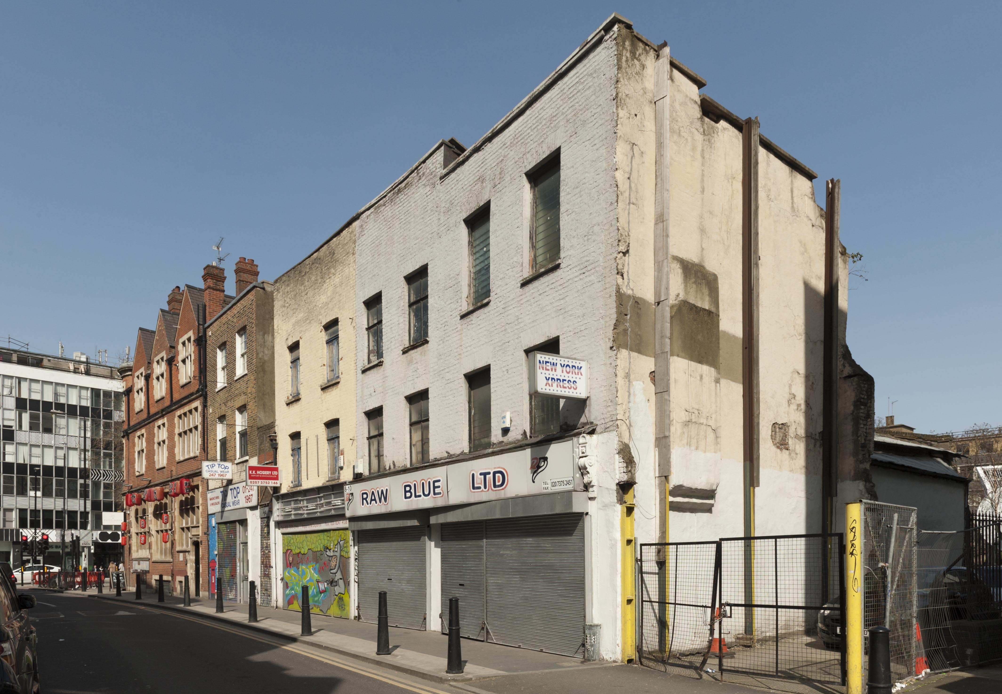
"id": 68,
"title": "8 and 10 White Church Lane",
"author": {
"id": 27,
"username": "DerekKendall"
},
"feature": {
"id": 304,
"type": "Feature",
"geometry": {
"type": "MultiPolygon",
"coordinates": [
[
[
[
-0.068810248810689,
51.51579556643765
],
[
-0.069035200140217,
51.51571155031097
],
[
-0.069035200694604,
51.51571156307232
],
[
-0.069035205379949,
51.515711557408544
],
[
-0.069058793420887,
51.51574350896153
],
[
-0.068793328727398,
51.51584995572055
],
[
-0.068753435980769,
51.515816722362146
],
[
-0.068810248810689,
51.51579556643765
]
]
]
]
},
"properties": {
"b_number": "8",
"b_name": "",
"street": "White Church Lane",
"address": "8 White Church Lane",
"feature_type": "WHITECHAPEL_BUILDING",
"count": 4,
"search_str": "8 White Church Lane"
},
"tags": []
},
"file": "https://surveyoflondon.org/media/uploads/features/304/SoL%20Whitechapel100234.jpg",
"description": "",
"copyright": true,
"created": "2016-06-22"
},
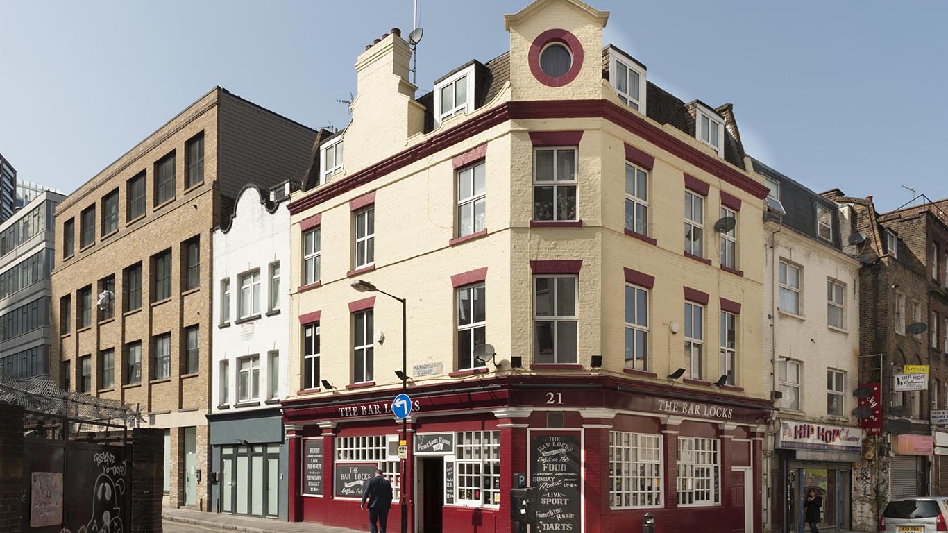
{
"id": 56,
"title": "7-8 Manningtree Street",
"author": {
"id": 27,
"username": "DerekKendall"
},
"feature": {
"id": 290,
"type": "Feature",
"geometry": {
"type": "MultiPolygon",
"coordinates": [
[
[
[
-0.069579354760643,
51.51572461651399
],
[
-0.069579357714014,
51.51572460975157
],
[
-0.069523889861304,
51.51563776817711
],
[
-0.069504402649089,
51.5156031957303
],
[
-0.069431226281995,
51.51562110149998
],
[
-0.069221403661226,
51.51535434763049
],
[
-0.06946360673883,
51.5152782690582
],
[
-0.069681293333652,
51.51554540039649
],
[
-0.069609567816262,
51.515565767950406
],
[
-0.069697580237575,
51.515694215260176
],
[
-0.069579354760643,
51.51572461651399
]
]
]
]
},
"properties": {
"b_number": "7-8",
"b_name": "",
"street": "Manningtree Street",
"address": "7-8 Manningtree Street",
"feature_type": "WHITECHAPEL_BUILDING",
"count": 2,
"search_str": "7-8 Manningtree Street"
},
"tags": []
},
"file": "https://surveyoflondon.org/media/uploads/features/290/SoL%20Whitechapel100233.jpg",
"description": "",
"copyright": true,
"created": "2016-06-22"
},
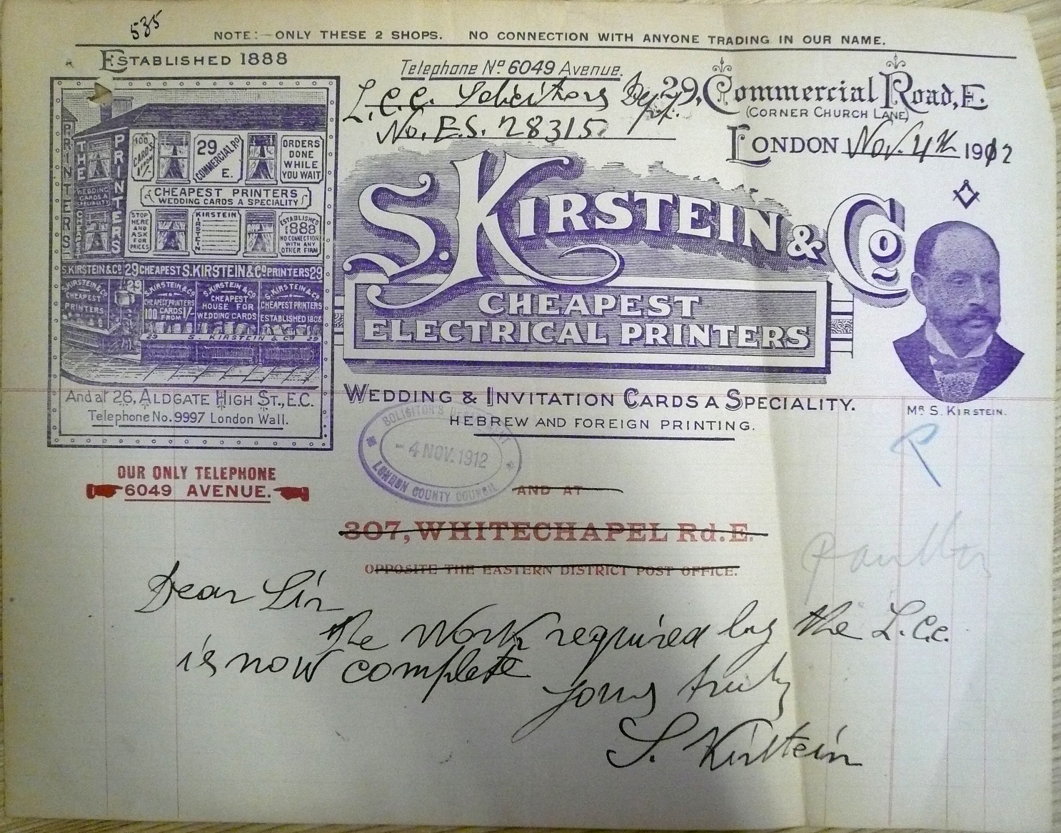
{
"id": 424,
"title": "Solomon Kirstein's letterhead (Tower Hamlets Local History Library and Archives, Building Control file 41978)",
"author": {
"id": 61,
"username": "THLHLA"
},
"feature": {
"id": 293,
"type": "Feature",
"geometry": {
"type": "MultiPolygon",
"coordinates": [
[
[
[
-0.068491774631066,
51.515088861036816
],
[
-0.068491755573131,
51.51508885345113
],
[
-0.068481018200281,
51.515032955895144
],
[
-0.068557145402275,
51.51503420979888
],
[
-0.068578868958976,
51.515058349407546
],
[
-0.068491774631066,
51.515088861036816
]
]
]
]
},
"properties": {
"b_number": "29",
"b_name": "",
"street": "Commercial Road",
"address": "Fresh, 29 Commercial Road",
"feature_type": "WHITECHAPEL_BUILDING",
"count": 6,
"search_str": "Fresh, 29 Commercial Road"
},
"tags": [
"Herbert O. Ellis",
"Solomon Kirstein"
]
},
"file": "https://surveyoflondon.org/media/uploads/features/293/P1180491%20adjusted.jpg",
"description": "showing Kirstein's premises at 29 Commercial Road as from around 1901",
"copyright": false,
"created": "2016-10-20"
},
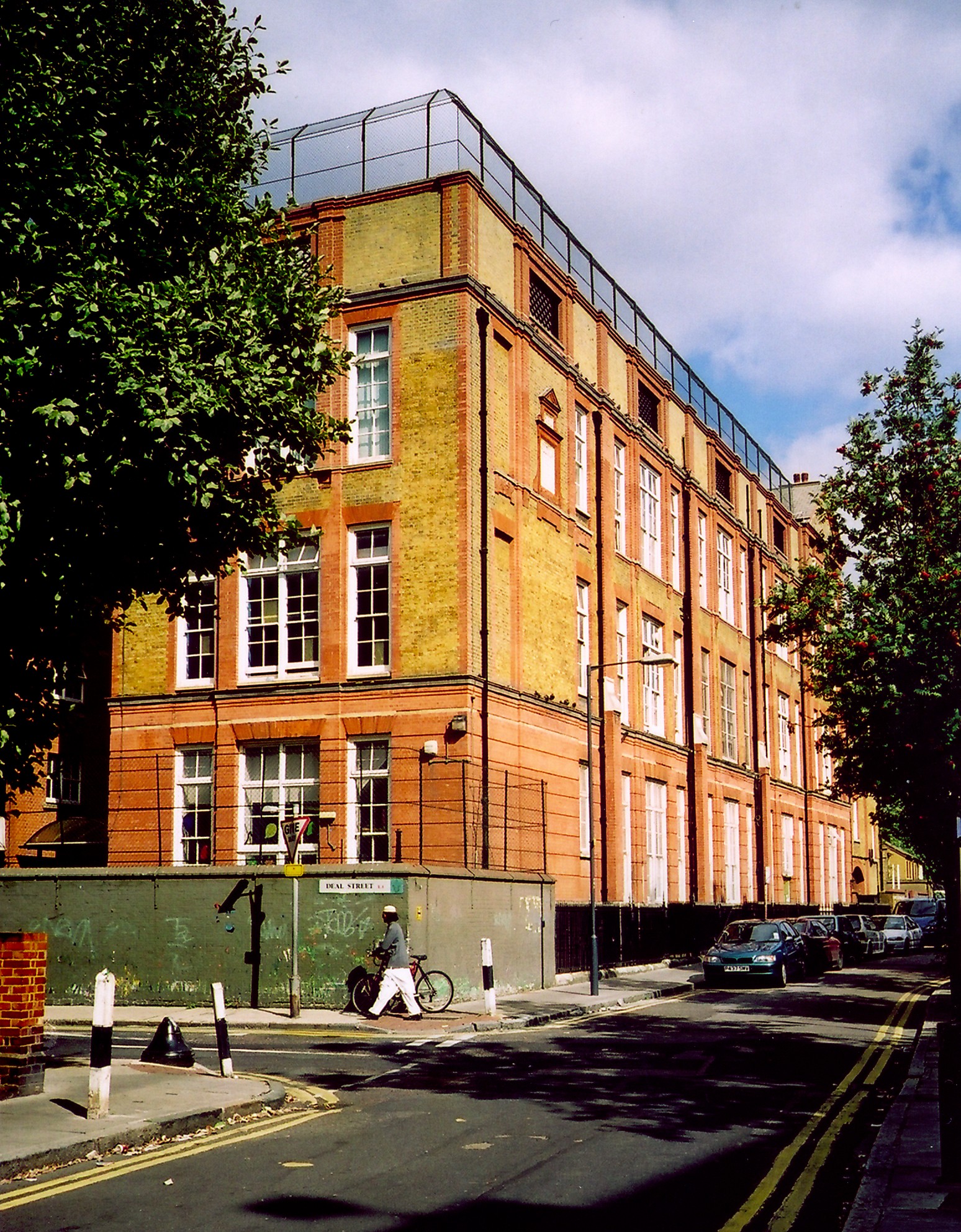
{
"id": 436,
"title": "Montefiore Centre 1 (2001)",
"author": {
"id": 69,
"username": "bryan_mawer"
},
"feature": {
"id": 1617,
"type": "Feature",
"geometry": {
"type": "MultiPolygon",
"coordinates": [
[
[
[
-0.066484897477261,
51.51973007331081
],
[
-0.067081453933615,
51.519721292244824
],
[
-0.067090659783377,
51.51989194689293
],
[
-0.066503297146198,
51.519901419163396
],
[
-0.066484897477261,
51.51973007331081
]
]
]
]
},
"properties": {
"b_number": "",
"b_name": "",
"street": "",
"address": "Greater Whitechapel: former Deal Street School",
"feature_type": "GREATER_WHITECHAPEL",
"count": 7,
"search_str": "Greater Whitechapel: former Deal Street School"
},
"tags": []
},
"file": "https://surveyoflondon.org/media/uploads/features/1617/dealstsch1.jpg",
"description": "",
"copyright": false,
"created": "2016-10-27"
},
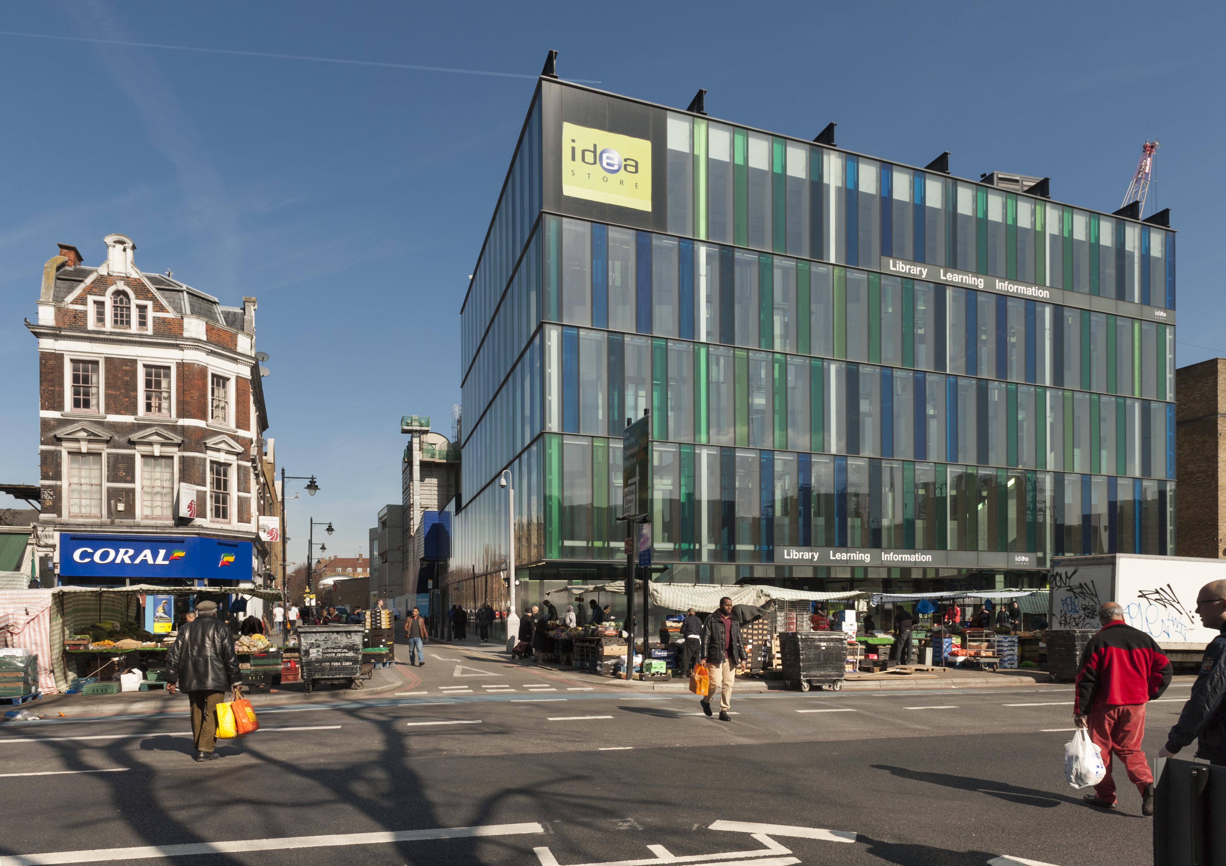
{
"id": 235,
"title": "Whitechapel Idea Store in 2016",
"author": {
"id": 27,
"username": "DerekKendall"
},
"feature": {
"id": 518,
"type": "Feature",
"geometry": {
"type": "MultiPolygon",
"coordinates": [
[
[
[
-0.058265578249493,
51.51997368190386
],
[
-0.057870681883353,
51.520069776330836
],
[
-0.057795852846717,
51.519925640296286
],
[
-0.057754684632276,
51.51993713160212
],
[
-0.057648441439835,
51.519761149535064
],
[
-0.05807295251591,
51.51962908276924
],
[
-0.058265578249493,
51.51997368190386
]
]
]
]
},
"properties": {
"b_number": "321",
"b_name": "Whitechapel Idea Store",
"street": "Whitechapel Road",
"address": "Whitechapel Idea Store, 321 Whitechapel Road",
"feature_type": "WHITECHAPEL_BUILDING",
"count": 15,
"search_str": "Whitechapel Idea Store"
},
"tags": [
"David Adjaye",
"James Edmeston",
"John Samuel Hayward"
]
},
"file": "https://surveyoflondon.org/media/uploads/features/518/SoL%20Whitechapel100031.jpg",
"description": "",
"copyright": true,
"created": "2016-08-01"
},
{
"id": 496,
"title": "New Road/Varden Street in 1973",
"author": {
"id": 100,
"username": "GaryH"
},
"feature": {
"id": 1133,
"type": "Feature",
"geometry": {
"type": "MultiPolygon",
"coordinates": [
[
[
[
-0.06180843280572,
51.51547588062743
],
[
-0.061956406812953,
51.51546378828541
],
[
-0.061967609606242,
51.51551715426207
],
[
-0.06169504700941,
51.51553848416248
],
[
-0.061679365436623,
51.51547050225325
],
[
-0.061746993512272,
51.51546460379417
],
[
-0.061753931149311,
51.5154959694269
],
[
-0.061811531093857,
51.51549154661211
],
[
-0.06180843280572,
51.51547588062743
]
]
]
]
},
"properties": {
"b_number": "20",
"b_name": "",
"street": "New Road",
"address": "20 New Road",
"feature_type": "WHITECHAPEL_BUILDING",
"count": 3,
"search_str": "20 New Road"
},
"tags": []
},
"file": "https://surveyoflondon.org/media/uploads/features/1097/varden2.jpg",
"description": "",
"copyright": false,
"created": "2017-02-17"
},
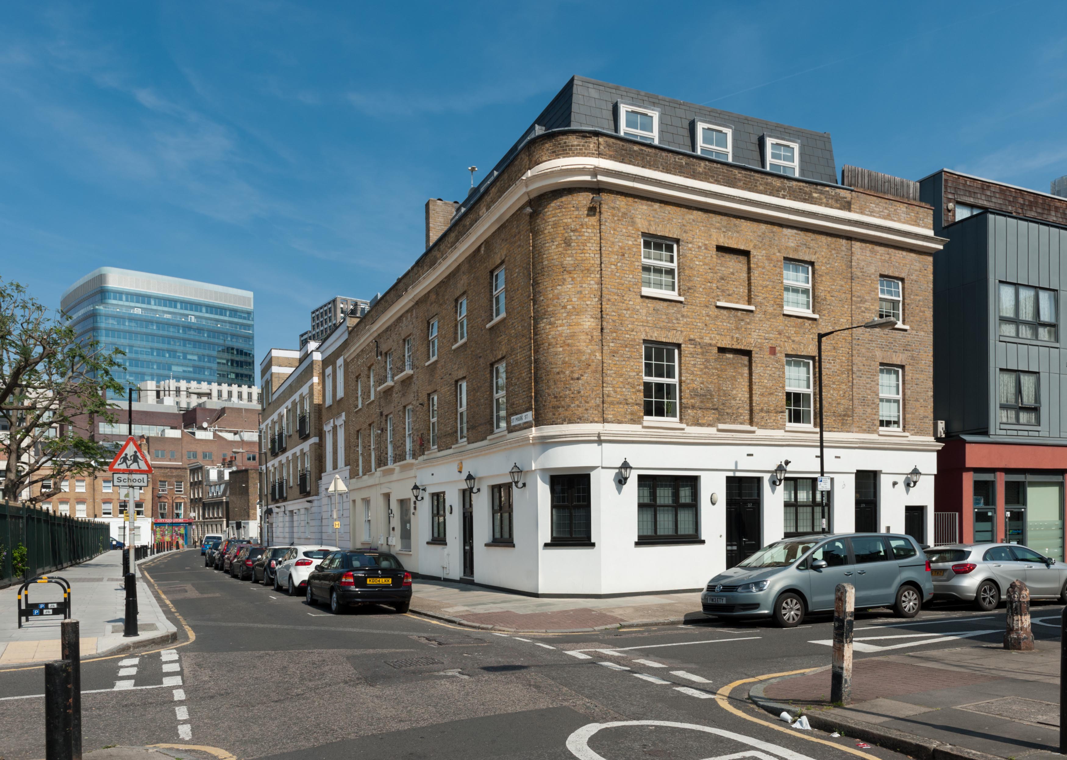
{
"id": 849,
"title": "Looking north east from Scarborough Street, August 2017",
"author": {
"id": 27,
"username": "DerekKendall"
},
"feature": {
"id": 22,
"type": "Feature",
"geometry": {
"type": "MultiPolygon",
"coordinates": [
[
[
[
-0.070872309865565,
51.5124608643703
],
[
-0.070840915717881,
51.5123958137844
],
[
-0.070972931271705,
51.512369289202105
],
[
-0.071011745865315,
51.51246016360709
],
[
-0.070879285740636,
51.51248075912093
],
[
-0.070872309865565,
51.5124608643703
]
]
]
]
},
"properties": {
"b_number": "35",
"b_name": "",
"street": "St Mark Street",
"address": "35 St Mark Street",
"feature_type": "WHITECHAPEL_BUILDING",
"count": 2,
"search_str": "35 St Mark Street"
},
"tags": []
},
"file": "https://surveyoflondon.org/media/uploads/features/22/SoL%20Whitechapel%20101588.jpg",
"description": "",
"copyright": true,
"created": "2017-09-12"
},
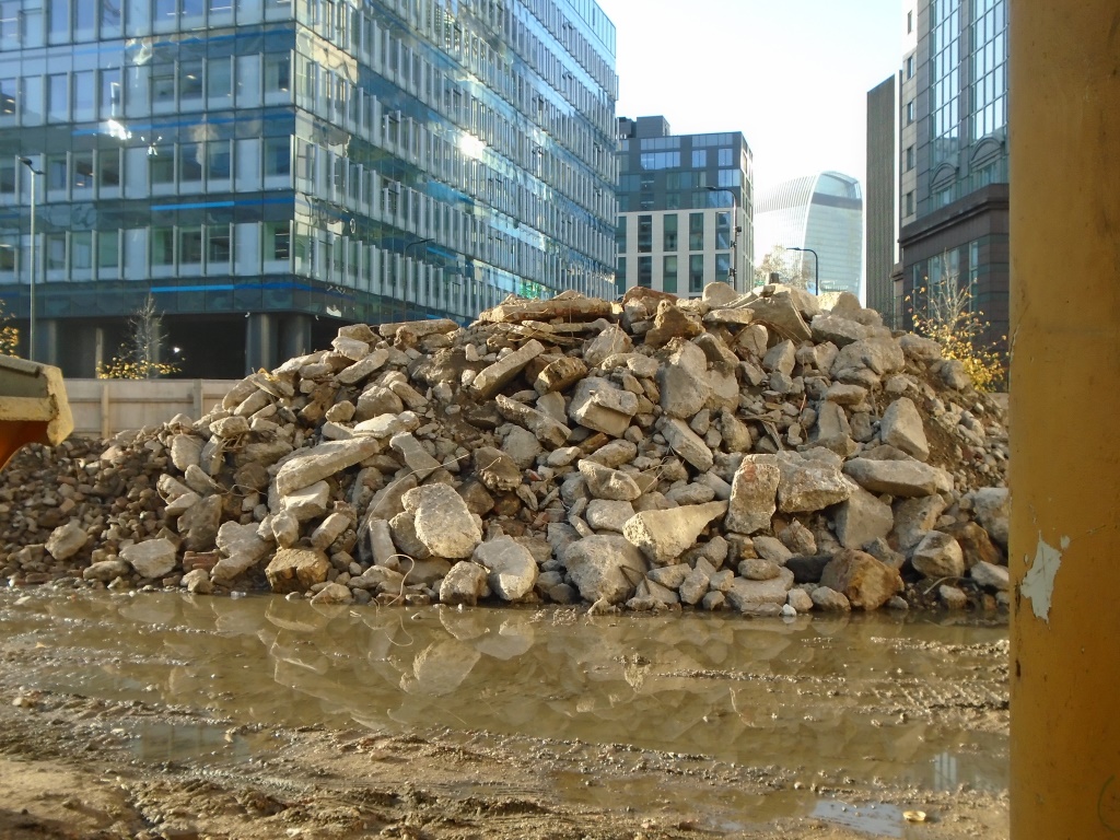
{
"id": 1664,
"title": "Demolition - looking west (into the City)",
"author": {
"id": 118,
"username": "david2"
},
"feature": {
"id": 350,
"type": "Feature",
"geometry": {
"type": "MultiPolygon",
"coordinates": [
[
[
[
-0.074647451142337,
51.51530527967592
],
[
-0.074357471765638,
51.515414167283886
],
[
-0.073990659509213,
51.51505709668585
],
[
-0.074395588069206,
51.514895160577964
],
[
-0.074663489419344,
51.51509835683479
],
[
-0.074491595155131,
51.515179363370244
],
[
-0.074647451142337,
51.51530527967592
]
]
]
]
},
"properties": {
"b_number": "2-14",
"b_name": "United Standard House",
"street": "Middlesex Street",
"address": "2 to 14 Middlesex Street",
"feature_type": "WHITECHAPEL_BUILDING",
"count": 16,
"search_str": "United Standard House"
},
"tags": []
},
"file": "https://surveyoflondon.org/media/uploads/features/350/DSC00261.JPG",
"description": "I just liked the contrasting colours and textures looking through the site of the former United Standard House, over to the City of London",
"copyright": false,
"created": "2019-09-07"
},
{
"id": 375,
"title": "St Paul's School, Wellclose Square, from the south in 2016",
"author": {
"id": 27,
"username": "DerekKendall"
},
"feature": {
"id": 1399,
"type": "Feature",
"geometry": {
"type": "MultiPolygon",
"coordinates": [
[
[
[
-0.06624311370635,
51.51019072010641
],
[
-0.066077627531148,
51.510204269850675
],
[
-0.066069527116146,
51.510170337345684
],
[
-0.06611551384684,
51.51016638639934
],
[
-0.066109726117682,
51.51014703372793
],
[
-0.065814585354416,
51.5101673738921
],
[
-0.065821533323482,
51.51022330153386
],
[
-0.065683910471039,
51.51023360737856
],
[
-0.065657889334494,
51.51008339520407
],
[
-0.065349361164399,
51.51010853754948
],
[
-0.06532938777826,
51.510008209650636
],
[
-0.065633994165545,
51.509987653756085
],
[
-0.065620188745178,
51.50991765971934
],
[
-0.065722948991599,
51.50991121538507
],
[
-0.065716780377172,
51.509880881568165
],
[
-0.065901817537395,
51.50986765480321
],
[
-0.06593178354119,
51.50999605393065
],
[
-0.066038317356042,
51.509988508785376
],
[
-0.066023042932445,
51.50990918839897
],
[
-0.065998737156917,
51.50991111308007
],
[
-0.065980280001972,
51.50981894970597
],
[
-0.066320560006103,
51.50979200375635
],
[
-0.06632996113982,
51.50983401855985
],
[
-0.066268265775343,
51.50983881506029
],
[
-0.066265082872055,
51.50982597208467
],
[
-0.066214609325215,
51.509829790835916
],
[
-0.066234584593038,
51.50993011860635
],
[
-0.066179431061551,
51.509934441553284
],
[
-0.066189455574639,
51.5099837339709
],
[
-0.066197871962622,
51.509983000685985
],
[
-0.066205558541818,
51.510021498909204
],
[
-0.066199016557763,
51.510021972412325
],
[
-0.066209250254486,
51.51006632649741
],
[
-0.066216245469672,
51.51006615116071
],
[
-0.066221862792188,
51.51009851070753
],
[
-0.066214365136205,
51.51009954983773
],
[
-0.066220460291682,
51.51013162657133
],
[
-0.06623170678327,
51.51013006787535
],
[
-0.06624311370635,
51.51019072010641
]
]
]
]
},
"properties": {
"b_number": "",
"b_name": "St Paul's School",
"street": "Wellclose Square",
"address": "St Paul's School, Wellclose Square",
"feature_type": "WHITECHAPEL_BUILDING",
"count": 22,
"search_str": "St Paul's School"
},
"tags": [
"Rev. Dan Greatorex",
"Thomas F. Ford and Partners",
"Wilby & Burnett"
]
},
"file": "https://surveyoflondon.org/media/uploads/features/1399/SoL%20Whitechapel100433.jpg",
"description": "",
"copyright": true,
"created": "2016-09-12"
},
{
"id": 551,
"title": "1982 view from Beagle House looking across towards Whitechapel High Street and the Aldgate Street tube station entrances",
"author": {
"id": 22,
"username": "sarahannmilne"
},
"feature": {
"id": 30,
"type": "Feature",
"geometry": {
"type": "MultiPolygon",
"coordinates": [
[
[
[
-0.072576965124861,
51.51480414332742
],
[
-0.071902729892604,
51.51504709813925
],
[
-0.071596198352356,
51.51466686280493
],
[
-0.072223318247544,
51.51442704353616
],
[
-0.072576965124861,
51.51480414332742
]
]
]
]
},
"properties": {
"b_number": "2",
"b_name": "Aldgate Tower",
"street": "Leman Street",
"address": "Aldgate Tower, 2 Leman Street",
"feature_type": "WHITECHAPEL_BUILDING",
"count": 13,
"search_str": "Aldgate Tower"
},
"tags": []
},
"file": "https://surveyoflondon.org/media/uploads/features/30/1982%20View%20from%20Beagle%20House.jpg",
"description": "Photograph courtesy of Greg Guthrie",
"copyright": false,
"created": "2017-04-25"
},
{
"id": 458,
"title": "Chandlery House and New Loom House from Gower's Walk (view from the northwest) in 2016",
"author": {
"id": 18,
"username": "shahedsaleem"
},
"feature": {
"id": 1005,
"type": "Feature",
"geometry": {
"type": "MultiPolygon",
"coordinates": [
[
[
[
-0.067180798939432,
51.512911920220176
],
[
-0.067624988998484,
51.51289617869746
],
[
-0.067674782792481,
51.51313629851437
],
[
-0.067721744056023,
51.51313289915908
],
[
-0.067755852211198,
51.51322248870878
],
[
-0.067682509657788,
51.51321710704479
],
[
-0.067654590885861,
51.513297328210555
],
[
-0.067516875836223,
51.51328532147534
],
[
-0.067468956763533,
51.51341668205499
],
[
-0.067277526303318,
51.51337909942833
],
[
-0.067137642973819,
51.51333104278721
],
[
-0.067188431523132,
51.51317071067776
],
[
-0.067203219362638,
51.51308470897374
],
[
-0.067183076322121,
51.51292857876673
],
[
-0.067180798939432,
51.512911920220176
]
],
[
[
-0.067402751092455,
51.513321694761274
],
[
-0.067420144835674,
51.51325312417157
],
[
-0.067384587480254,
51.51325045159809
],
[
-0.067384326780274,
51.51323027699892
],
[
-0.067335343500746,
51.513228774201664
],
[
-0.067319383083405,
51.513316147649554
],
[
-0.067402751092455,
51.513321694761274
]
],
[
[
-0.067492150220602,
51.51318475803046
],
[
-0.067522036285235,
51.513084399017174
],
[
-0.067453414453496,
51.51307283525235
],
[
-0.067418954868062,
51.51317590098832
],
[
-0.067492150220602,
51.51318475803046
]
],
[
[
-0.06747986041909,
51.51304058127036
],
[
-0.067475683647445,
51.51294174750583
],
[
-0.067394851036263,
51.51294215421109
],
[
-0.067401211342125,
51.51304206725618
],
[
-0.06747986041909,
51.51304058127036
]
]
]
]
},
"properties": {
"b_number": "40",
"b_name": "Chandlery House, 40 Gower's Walk",
"street": "Gower's Walk",
"address": "Chandlery House, 40 Gower's Walk",
"feature_type": "WHITECHAPEL_BUILDING",
"count": 11,
"search_str": "Chandlery House, 40 Gower's Walk"
},
"tags": []
},
"file": "https://surveyoflondon.org/media/uploads/features/1005/IMG_4266.JPG",
"description": "",
"copyright": false,
"created": "2016-11-17"
},
{
"id": 761,
"title": "Elevation",
"author": {
"id": 27,
"username": "DerekKendall"
},
"feature": {
"id": 1402,
"type": "Feature",
"geometry": {
"type": "MultiPolygon",
"coordinates": [
[
[
[
-0.07186475821719,
51.513200106555054
],
[
-0.071803818959308,
51.51321795182727
],
[
-0.071716346326456,
51.51324493227947
],
[
-0.071679843692217,
51.51320581999659
],
[
-0.071619054706025,
51.51312934605446
],
[
-0.071769805434075,
51.51308311975936
],
[
-0.07186475821719,
51.513200106555054
]
]
]
]
},
"properties": {
"b_number": "12",
"b_name": "Symons House, 12 North Tenter Street",
"street": "North Tenter Street",
"address": "Symons House, 12 North Tenter Street",
"feature_type": "WHITECHAPEL_BUILDING",
"count": 3,
"search_str": "Symons House, 12 North Tenter Street"
},
"tags": []
},
"file": "https://surveyoflondon.org/media/uploads/features/1402/SoL%20Whitechapel%20101252.jpg",
"description": "",
"copyright": true,
"created": "2017-09-12"
},
{
"id": 33,
"title": "19-21 White Church Lane",
"author": {
"id": 27,
"username": "DerekKendall"
},
"feature": {
"id": 143,
"type": "Feature",
"geometry": {
"type": "MultiPolygon",
"coordinates": [
[
[
[
-0.06909531726186,
51.51550668914688
],
[
-0.069158103007644,
51.5154888105693
],
[
-0.069158110074285,
51.515488807862255
],
[
-0.069229827889128,
51.515458568212814
],
[
-0.069240498296499,
51.51547175412803
],
[
-0.069299048478538,
51.51545270234641
],
[
-0.06933765065419,
51.515502135962606
],
[
-0.069240640768582,
51.5155289531881
],
[
-0.069126224544899,
51.515558849026164
],
[
-0.06909531726186,
51.51550668914688
]
]
]
]
},
"properties": {
"b_number": "19",
"b_name": "",
"street": "White Church Lane",
"address": "19 White Church Lane",
"feature_type": "WHITECHAPEL_BUILDING",
"count": 3,
"search_str": "19 White Church Lane"
},
"tags": [
"Poor Jews Temporary Shelter",
"synagogue"
]
},
"file": "https://surveyoflondon.org/media/uploads/features/143/SoL%20Whitechapel100233.jpg",
"description": "",
"copyright": true,
"created": "2016-06-20"
},
{
"id": 468,
"title": "Rear of 17-19 Alie Street",
"author": {
"id": 86,
"username": "sarah"
},
"feature": {
"id": 33,
"type": "Feature",
"geometry": {
"type": "MultiPolygon",
"coordinates": [
[
[
[
-0.071865525294463,
51.513635775949055
],
[
-0.071785458230957,
51.51353968533075
],
[
-0.071900260305993,
51.51350038640229
],
[
-0.07197326495485,
51.51359817527253
],
[
-0.071865525294463,
51.513635775949055
]
]
]
]
},
"properties": {
"b_number": "17-19",
"b_name": "",
"street": "Alie Street",
"address": "17-19 Alie Street",
"feature_type": "WHITECHAPEL_BUILDING",
"count": 5,
"search_str": "17-19 Alie Street"
},
"tags": []
},
"file": "https://surveyoflondon.org/media/uploads/features/33/IMG_20161031_143925.jpg",
"description": "",
"copyright": false,
"created": "2016-12-15"
},
{
"id": 397,
"title": "1-7 Prescot Street, former Co-operative Wholesale Society offices",
"author": {
"id": 29,
"username": "CRedgrave"
},
"feature": {
"id": 1286,
"type": "Feature",
"geometry": {
"type": "MultiPolygon",
"coordinates": [
[
[
[
-0.069793489547983,
51.511271968219916
],
[
-0.069965917865997,
51.51168028661196
],
[
-0.069243122619495,
51.51179800135946
],
[
-0.069187619352883,
51.51178700909154
],
[
-0.068924065744909,
51.51144633157197
],
[
-0.069110518275552,
51.511389634471044
],
[
-0.069125928884571,
51.51138051294904
],
[
-0.069793489547983,
51.511271968219916
]
],
[
[
-0.069773263237786,
51.511528283268085
],
[
-0.069730353342622,
51.51143265236416
],
[
-0.069244663174936,
51.511517503411056
],
[
-0.069318177103272,
51.51160868474515
],
[
-0.069773263237786,
51.511528283268085
]
]
]
]
},
"properties": {
"b_number": "1-7",
"b_name": "",
"street": "Prescot Street",
"address": "1-7 Prescot Street",
"feature_type": "WHITECHAPEL_BUILDING",
"count": 12,
"search_str": "1-7 Prescot Street"
},
"tags": [
"Co-operative Wholesale Society",
"L. G. Ekins"
]
},
"file": "https://surveyoflondon.org/media/uploads/features/1286/1-7%20Prescot%20Street.%20C%20Redgrave-3.jpg",
"description": "",
"copyright": true,
"created": "2016-09-17"
},
{
"id": 399,
"title": "1-7 Prescot Street, former Co-operative Wholesale Society offices",
"author": {
"id": 29,
"username": "CRedgrave"
},
"feature": {
"id": 1286,
"type": "Feature",
"geometry": {
"type": "MultiPolygon",
"coordinates": [
[
[
[
-0.069793489547983,
51.511271968219916
],
[
-0.069965917865997,
51.51168028661196
],
[
-0.069243122619495,
51.51179800135946
],
[
-0.069187619352883,
51.51178700909154
],
[
-0.068924065744909,
51.51144633157197
],
[
-0.069110518275552,
51.511389634471044
],
[
-0.069125928884571,
51.51138051294904
],
[
-0.069793489547983,
51.511271968219916
]
],
[
[
-0.069773263237786,
51.511528283268085
],
[
-0.069730353342622,
51.51143265236416
],
[
-0.069244663174936,
51.511517503411056
],
[
-0.069318177103272,
51.51160868474515
],
[
-0.069773263237786,
51.511528283268085
]
]
]
]
},
"properties": {
"b_number": "1-7",
"b_name": "",
"street": "Prescot Street",
"address": "1-7 Prescot Street",
"feature_type": "WHITECHAPEL_BUILDING",
"count": 12,
"search_str": "1-7 Prescot Street"
},
"tags": [
"Co-operative Wholesale Society",
"L. G. Ekins"
]
},
"file": "https://surveyoflondon.org/media/uploads/features/1286/1-7%20%20Prescot%20Street.%20C%20Redgrave-2.jpg",
"description": "Detail of brickwork.",
"copyright": true,
"created": "2016-09-17"
},
{
"id": 1622,
"title": "32-38 Osborn Street in 2015",
"author": {
"id": 2,
"username": "surveyoflondon"
},
"feature": {
"id": 133,
"type": "Feature",
"geometry": {
"type": "MultiPolygon",
"coordinates": [
[
[
[
-0.070266562539049,
51.51709543058367
],
[
-0.070054978589243,
51.51714635214166
],
[
-0.069976391684036,
51.51712406633498
],
[
-0.069900676223209,
51.51715243970377
],
[
-0.069878782212235,
51.5171243441336
],
[
-0.069928291055843,
51.51710419063139
],
[
-0.069889518624445,
51.51706711471591
],
[
-0.070197838529848,
51.51698833046723
],
[
-0.07019784588536,
51.51698832752765
],
[
-0.070266562539049,
51.51709543058367
]
]
]
]
},
"properties": {
"b_number": "32",
"b_name": "",
"street": "Osborn Street",
"address": "32-38 Osborn Street",
"feature_type": "WHITECHAPEL_BUILDING",
"count": 2,
"search_str": "32-38 Osborn Street"
},
"tags": []
},
"file": "https://surveyoflondon.org/media/uploads/features/133/P1150291.JPG",
"description": "",
"copyright": false,
"created": "2019-06-04"
},
{
"id": 786,
"title": "Mansell Street elevation, August 2017",
"author": {
"id": 27,
"username": "DerekKendall"
},
"feature": {
"id": 52,
"type": "Feature",
"geometry": {
"type": "MultiPolygon",
"coordinates": [
[
[
[
-0.072522936465309,
51.51209913871823
],
[
-0.072966657695433,
51.51206015611643
],
[
-0.073023989371249,
51.51238161262953
],
[
-0.072581805485479,
51.51241248317473
],
[
-0.072522936465309,
51.51209913871823
]
]
]
]
},
"properties": {
"b_number": "69",
"b_name": "Mansell Court, 69 Mansell Street",
"street": "Mansell Street",
"address": "Mansell Court, 69 Mansell Street",
"feature_type": "WHITECHAPEL_BUILDING",
"count": 4,
"search_str": "Mansell Court, 69 Mansell Street"
},
"tags": []
},
"file": "https://surveyoflondon.org/media/uploads/features/52/SoL%20Whitechapel%20101512.jpg",
"description": "",
"copyright": true,
"created": "2017-09-12"
},
{
"id": 900,
"title": "Whitechapel Gallery and adjoining shops, looking north, August 2017",
"author": {
"id": 27,
"username": "DerekKendall"
},
"feature": {
"id": 1743,
"type": "Feature",
"geometry": {
"type": "MultiPolygon",
"coordinates": [
[
[
[
-0.073411821699579,
51.51467674446512
],
[
-0.072731355303774,
51.514916811528764
],
[
-0.07188498637862,
51.51521927010499
],
[
-0.071325614752325,
51.51544095498937
],
[
-0.070774639967226,
51.515605952693505
],
[
-0.069847461990603,
51.51600844129137
],
[
-0.069612775522787,
51.51611554197248
],
[
-0.069514933844418,
51.51603777987923
],
[
-0.07062003013613,
51.51555119093597
],
[
-0.071250881804969,
51.51535269561576
],
[
-0.071777920220375,
51.515135083966406
],
[
-0.073328190602561,
51.5145926917498
],
[
-0.073411821699579,
51.51467674446512
]
]
]
]
},
"properties": {
"b_number": "",
"b_name": "",
"street": "",
"address": "Whitechapel High Street",
"feature_type": "PLACE",
"count": 14,
"search_str": "Whitechapel High Street"
},
"tags": []
},
"file": "https://surveyoflondon.org/media/uploads/features/1743/SoL%20Whitechapel%20101373.jpg",
"description": "",
"copyright": true,
"created": "2017-09-26"
},
{
"id": 415,
"title": "Merchant House, 39 Goulston Street",
"author": {
"id": 56,
"username": "tamara"
},
"feature": {
"id": 341,
"type": "Feature",
"geometry": {
"type": "MultiPolygon",
"coordinates": [
[
[
[
-0.075756372497918,
51.51630759829701
],
[
-0.075832492907812,
51.516372453749725
],
[
-0.075832505230203,
51.51637245650548
],
[
-0.075832504139434,
51.51637245698336
],
[
-0.075533462327354,
51.5164803330596
],
[
-0.075322584851544,
51.51654791373257
],
[
-0.075291822527191,
51.51651052117704
],
[
-0.075307258436179,
51.51650390031411
],
[
-0.075148856743073,
51.51630578374059
],
[
-0.075319288269409,
51.51625050513857
],
[
-0.075502354572911,
51.51619182998281
],
[
-0.075633380984274,
51.51634962782128
],
[
-0.075756372497918,
51.51630759829701
]
]
]
]
},
"properties": {
"b_number": "39",
"b_name": "Merchant House, 39 Goulston Street",
"street": "Goulston Street",
"address": "Merchant House",
"feature_type": "WHITECHAPEL_BUILDING",
"count": 7,
"search_str": "Merchant House, 39 Goulston Street"
},
"tags": []
},
"file": "https://surveyoflondon.org/media/uploads/features/341/tstoll04.jpg",
"description": "Documenting the streets of Petticoat Lane market, image taken in 2016 by Tamara Stoll.\n",
"copyright": false,
"created": "2016-09-25"
}
]
}