HTTP 200 OK
Allow: GET, HEAD, OPTIONS
Content-Type: application/json
Vary: Accept
{
"count": 1747,
"next": "https://surveyoflondon.org/api/v1/images/?format=api&page=14",
"previous": "https://surveyoflondon.org/api/v1/images/?format=api&page=12",
"results": [
{
"id": 353,
"title": "South elevation of the Ambrose King Centre from Turner Street in 1928, when it was known as the Resident Doctors' Hostel",
"author": {
"id": 37,
"username": "HistoricEngland"
},
"feature": {
"id": 1187,
"type": "Feature",
"geometry": {
"type": "MultiPolygon",
"coordinates": [
[
[
[
-0.061853613587725,
51.51795357347482
],
[
-0.061311298322689,
51.518075049965745
],
[
-0.061297685346835,
51.51805160774173
],
[
-0.061269622596728,
51.518057950858406
],
[
-0.061233454788416,
51.51799566789858
],
[
-0.061263609210615,
51.517988851994616
],
[
-0.061253110770819,
51.517970773090006
],
[
-0.061797911851981,
51.51784762820333
],
[
-0.061853613587725,
51.51795357347482
]
]
]
]
},
"properties": {
"b_number": "",
"b_name": "",
"street": "Turner Street",
"address": "Ambrose King Centre and Grahame Hayton Unit",
"feature_type": "WHITECHAPEL_BUILDING",
"count": 5,
"search_str": "Ambrose King Centre and Grahame Hayton Unit"
},
"tags": []
},
"file": "https://surveyoflondon.org/media/uploads/features/1187/bl29526.jpg",
"description": "Photograph by Bedford Lemere & Co., reproduced by permission of the Historic England Archive (see archive.HistoricEngland.org.uk).",
"copyright": true,
"created": "2016-09-05"
},
{
"id": 801,
"title": "Prescot Street facade, looking east, August 2017",
"author": {
"id": 27,
"username": "DerekKendall"
},
"feature": {
"id": 1304,
"type": "Feature",
"geometry": {
"type": "MultiPolygon",
"coordinates": [
[
[
[
-0.069869457142711,
51.51258378865529
],
[
-0.06950660421144,
51.512121667706516
],
[
-0.069478111577185,
51.512130555532515
],
[
-0.069341094752535,
51.511957536645845
],
[
-0.069486122416778,
51.51189676528385
],
[
-0.069527178527717,
51.51194539520137
],
[
-0.069585888426032,
51.5119311567419
],
[
-0.069559567943928,
51.511910840078386
],
[
-0.069569328998767,
51.5119016438785
],
[
-0.069825289223036,
51.51185497911268
],
[
-0.069930830059169,
51.51200246852669
],
[
-0.069714923949871,
51.51207129486504
],
[
-0.069748586678379,
51.512117463780626
],
[
-0.069782896356969,
51.51210399319554
],
[
-0.070024013079544,
51.51238632902739
],
[
-0.070141581896045,
51.51235434519941
],
[
-0.070216203746602,
51.51245148127667
],
[
-0.070170852543001,
51.512460091841156
],
[
-0.070181004677215,
51.512485990340465
],
[
-0.07007117524811,
51.51251225352792
],
[
-0.070078075053951,
51.512526402406536
],
[
-0.069869457142711,
51.51258378865529
]
]
]
]
},
"properties": {
"b_number": "100",
"b_name": "",
"street": "Leman Street",
"address": "100 Leman Street (Minet House)",
"feature_type": "WHITECHAPEL_BUILDING",
"count": 13,
"search_str": "100 Leman Street (Minet House)"
},
"tags": []
},
"file": "https://surveyoflondon.org/media/uploads/features/1304/SoL%20Whitechapel%20101532.jpg",
"description": "",
"copyright": true,
"created": "2017-09-12"
},
{
"id": 328,
"title": "St Boniface RC Church in 2004, view to north (liturgical west)",
"author": {
"id": 2,
"username": "surveyoflondon"
},
"feature": {
"id": 308,
"type": "Feature",
"geometry": {
"type": "MultiPolygon",
"coordinates": [
[
[
[
-0.067496567815311,
51.51589253877067
],
[
-0.067329816922355,
51.51592882147948
],
[
-0.067313994004403,
51.515903740519775
],
[
-0.067285655221522,
51.51591108028059
],
[
-0.067273890464753,
51.51588586669939
],
[
-0.067248552659892,
51.51589046902255
],
[
-0.067167351332256,
51.515743576397455
],
[
-0.067193642426533,
51.51573542676791
],
[
-0.06717129258716,
51.51569502690211
],
[
-0.067371819133296,
51.51564515293278
],
[
-0.067482004602165,
51.515831045103695
],
[
-0.067463735896854,
51.51583606330445
],
[
-0.067496567815311,
51.51589253877067
]
]
]
]
},
"properties": {
"b_number": "47",
"b_name": "",
"street": "Adler Street",
"address": "St Boniface German Church, 47 Adler Street",
"feature_type": "WHITECHAPEL_BUILDING",
"count": 14,
"search_str": "St Boniface German Church, 47 Adler Street"
},
"tags": [
"Catholic Church",
"Germans"
]
},
"file": "https://surveyoflondon.org/media/uploads/features/308/St%20Boniface%20German%20RC%20Church%2C%20Adler%20Street%2C%20Whitechapel%2C%20English%20He_QNnqZcm.jpg",
"description": "",
"copyright": false,
"created": "2016-09-02"
},
{
"id": 539,
"title": "The former Eastern Dispensary detail",
"author": {
"id": 27,
"username": "DerekKendall"
},
"feature": {
"id": 16,
"type": "Feature",
"geometry": {
"type": "MultiPolygon",
"coordinates": [
[
[
[
-0.07073271347526,
51.51412601920421
],
[
-0.07063554499044,
51.514165253062664
],
[
-0.070469168765051,
51.51398880154131
],
[
-0.07056792326348,
51.51394938941929
],
[
-0.07073271347526,
51.51412601920421
]
]
]
]
},
"properties": {
"b_number": "19a-19b",
"b_name": "The Dispensary",
"street": "Leman Street",
"address": "The Dispensary (former Eastern Dispensary), 19a-19b Leman Street",
"feature_type": "WHITECHAPEL_BUILDING",
"count": 7,
"search_str": "The Dispensary"
},
"tags": []
},
"file": "https://surveyoflondon.org/media/uploads/features/16/SoL%20Whitechapel%20100451.jpg",
"description": "",
"copyright": true,
"created": "2017-04-10"
},
{
"id": 802,
"title": "Entrance canopy, from Prescot Street looking towards Leman Street, August 2017",
"author": {
"id": 27,
"username": "DerekKendall"
},
"feature": {
"id": 1304,
"type": "Feature",
"geometry": {
"type": "MultiPolygon",
"coordinates": [
[
[
[
-0.069869457142711,
51.51258378865529
],
[
-0.06950660421144,
51.512121667706516
],
[
-0.069478111577185,
51.512130555532515
],
[
-0.069341094752535,
51.511957536645845
],
[
-0.069486122416778,
51.51189676528385
],
[
-0.069527178527717,
51.51194539520137
],
[
-0.069585888426032,
51.5119311567419
],
[
-0.069559567943928,
51.511910840078386
],
[
-0.069569328998767,
51.5119016438785
],
[
-0.069825289223036,
51.51185497911268
],
[
-0.069930830059169,
51.51200246852669
],
[
-0.069714923949871,
51.51207129486504
],
[
-0.069748586678379,
51.512117463780626
],
[
-0.069782896356969,
51.51210399319554
],
[
-0.070024013079544,
51.51238632902739
],
[
-0.070141581896045,
51.51235434519941
],
[
-0.070216203746602,
51.51245148127667
],
[
-0.070170852543001,
51.512460091841156
],
[
-0.070181004677215,
51.512485990340465
],
[
-0.07007117524811,
51.51251225352792
],
[
-0.070078075053951,
51.512526402406536
],
[
-0.069869457142711,
51.51258378865529
]
]
]
]
},
"properties": {
"b_number": "100",
"b_name": "",
"street": "Leman Street",
"address": "100 Leman Street (Minet House)",
"feature_type": "WHITECHAPEL_BUILDING",
"count": 13,
"search_str": "100 Leman Street (Minet House)"
},
"tags": []
},
"file": "https://surveyoflondon.org/media/uploads/features/1304/SoL%20Whitechapel%20101533.jpg",
"description": "",
"copyright": true,
"created": "2017-09-12"
},
{
"id": 241,
"title": "Altab Ali Park",
"author": {
"id": 36,
"username": "JuditFerencz"
},
"feature": {
"id": 296,
"type": "Feature",
"geometry": {
"type": "MultiPolygon",
"coordinates": [
[
[
[
-0.069238538289603,
51.51610506120929
],
[
-0.069007097235987,
51.5162239535272
],
[
-0.068282200256798,
51.51654369745104
],
[
-0.068157401560378,
51.51641994527148
],
[
-0.067807959279103,
51.51600137496063
],
[
-0.068541180339468,
51.515783257348254
],
[
-0.068555919008956,
51.51580580160597
],
[
-0.068713893455475,
51.515872451567986
],
[
-0.068778503699218,
51.51586114158782
],
[
-0.068817146392177,
51.515922550138725
],
[
-0.068888047037903,
51.51596428315636
],
[
-0.069016085124709,
51.515921053627785
],
[
-0.069107698271647,
51.51601562404751
],
[
-0.069243279190738,
51.515974904669626
],
[
-0.069238538289603,
51.51610506120929
]
]
]
]
},
"properties": {
"b_number": "",
"b_name": "Altab Ali Park, including the site of the parish church of St Mary Matfelon",
"street": "Whitechapel Road",
"address": "Altab Ali Park",
"feature_type": "OPEN_SPACE",
"count": 32,
"search_str": "Altab Ali Park, including the site of the parish church of St Mary Matfelon"
},
"tags": []
},
"file": "https://surveyoflondon.org/media/uploads/features/296/Altabali1_w.jpg",
"description": "",
"copyright": true,
"created": "2016-08-15"
},
{
"id": 322,
"title": "The Church of St Mary Matfelon, interior view looking east in 1888",
"author": {
"id": 37,
"username": "HistoricEngland"
},
"feature": {
"id": 296,
"type": "Feature",
"geometry": {
"type": "MultiPolygon",
"coordinates": [
[
[
[
-0.069238538289603,
51.51610506120929
],
[
-0.069007097235987,
51.5162239535272
],
[
-0.068282200256798,
51.51654369745104
],
[
-0.068157401560378,
51.51641994527148
],
[
-0.067807959279103,
51.51600137496063
],
[
-0.068541180339468,
51.515783257348254
],
[
-0.068555919008956,
51.51580580160597
],
[
-0.068713893455475,
51.515872451567986
],
[
-0.068778503699218,
51.51586114158782
],
[
-0.068817146392177,
51.515922550138725
],
[
-0.068888047037903,
51.51596428315636
],
[
-0.069016085124709,
51.515921053627785
],
[
-0.069107698271647,
51.51601562404751
],
[
-0.069243279190738,
51.515974904669626
],
[
-0.069238538289603,
51.51610506120929
]
]
]
]
},
"properties": {
"b_number": "",
"b_name": "Altab Ali Park, including the site of the parish church of St Mary Matfelon",
"street": "Whitechapel Road",
"address": "Altab Ali Park",
"feature_type": "OPEN_SPACE",
"count": 32,
"search_str": "Altab Ali Park, including the site of the parish church of St Mary Matfelon"
},
"tags": []
},
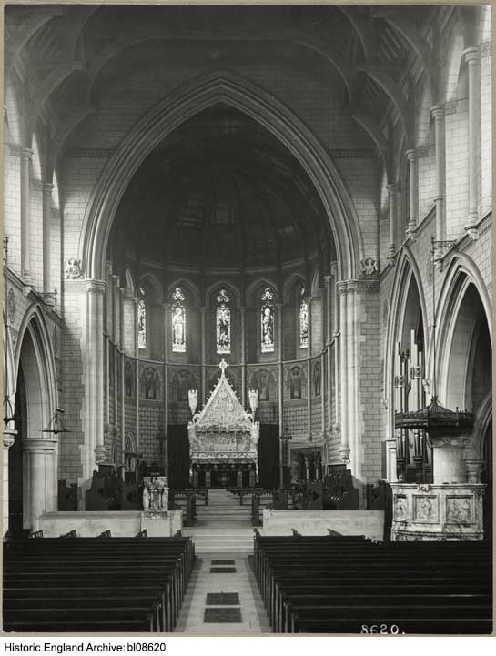
"file": "https://surveyoflondon.org/media/uploads/features/296/bl08620.jpg",
"description": "Photograph by Bedford Lemere, reproduced by permission of the Historic England Archive (see archive.HistoricEngland.org.uk)",
"copyright": true,
"created": "2016-09-02"
},
{
"id": 473,
"title": "Maersk (formerly Beagle) House in 2015, from the north-west",
"author": {
"id": 31,
"username": "LucyMW"
},
"feature": {
"id": 31,
"type": "Feature",
"geometry": {
"type": "MultiPolygon",
"coordinates": [
[
[
[
-0.071887127893096,
51.51411332216963
],
[
-0.071969571208431,
51.51419942371175
],
[
-0.071924976063445,
51.5142326534243
],
[
-0.071948658834375,
51.51426657781599
],
[
-0.071835003267539,
51.5143227101345
],
[
-0.071686234045495,
51.5143855464125
],
[
-0.071543425125636,
51.514422007266134
],
[
-0.071435516621411,
51.51444471123646
],
[
-0.071395570736125,
51.51440565693606
],
[
-0.07134776228325,
51.51441310661883
],
[
-0.0712722588033,
51.51434177428325
],
[
-0.071303428297817,
51.51432370241673
],
[
-0.071263213192454,
51.5142868603796
],
[
-0.071374185885124,
51.514224080818835
],
[
-0.071528097019019,
51.51416207230522
],
[
-0.071692419185678,
51.51411901969061
],
[
-0.071795120500786,
51.514091351954804
],
[
-0.071848759931576,
51.5141216554061
],
[
-0.071887127893096,
51.51411332216963
]
]
]
]
},
"properties": {
"b_number": "1",
"b_name": "Maersk House",
"street": "Braham Street",
"address": "Maersk House (formerly Beagle House), 1 Braham Street",
"feature_type": "WHITECHAPEL_BUILDING",
"count": 20,
"search_str": "Maersk House"
},
"tags": []
},
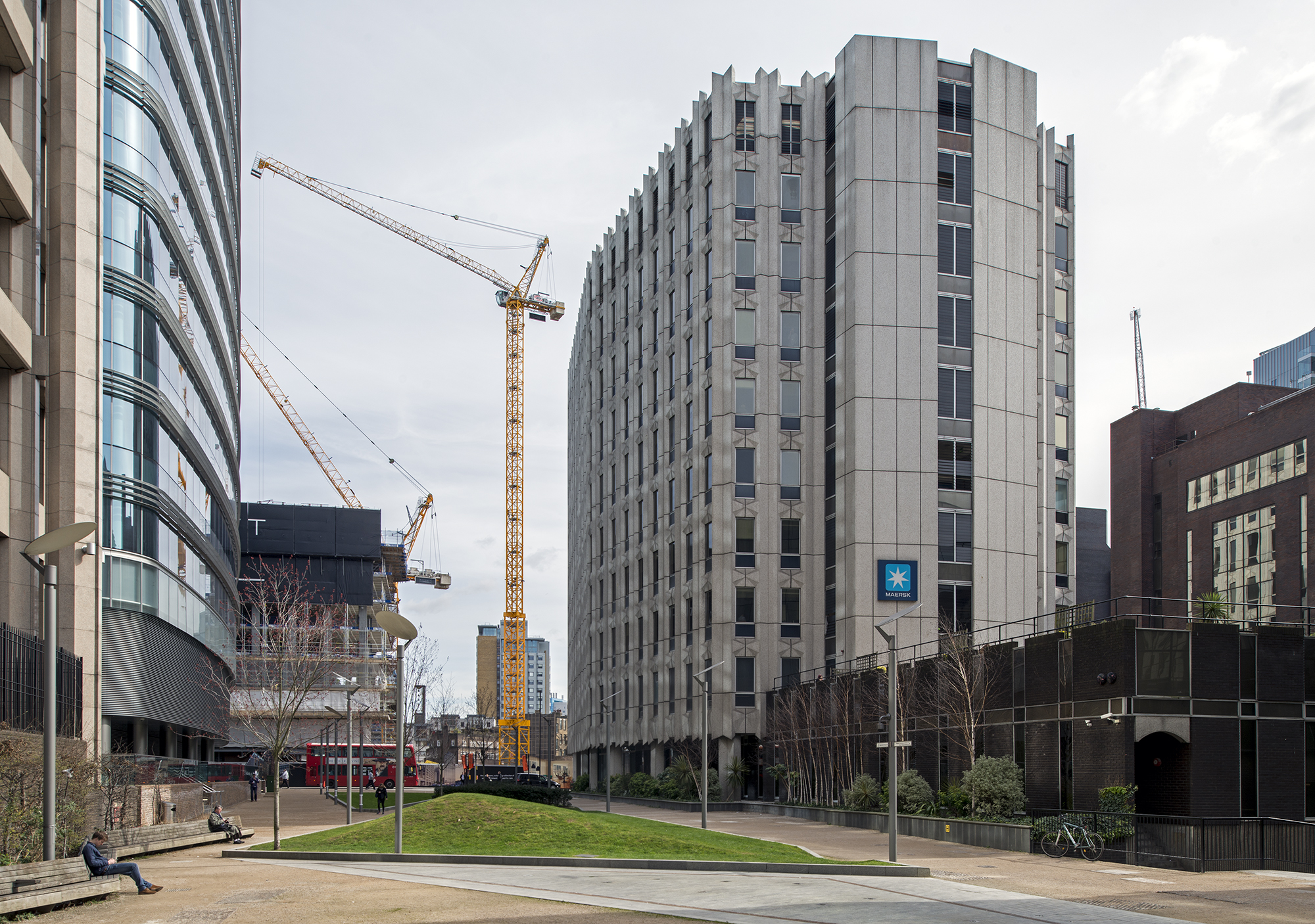
"file": "https://surveyoflondon.org/media/uploads/features/31/DP180235.jpg",
"description": "",
"copyright": true,
"created": "2017-01-03"
},
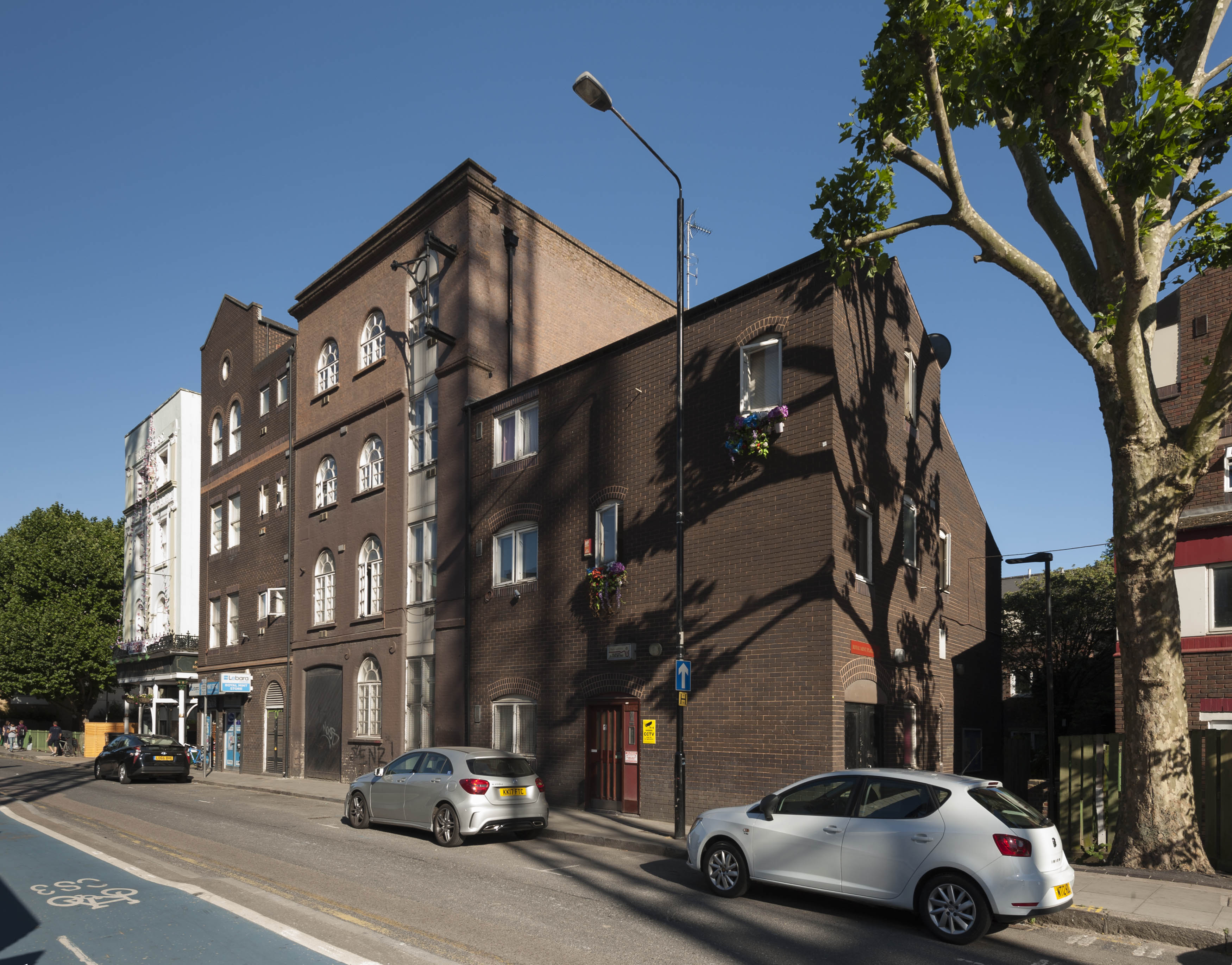
{
"id": 573,
"title": "Hopetown Estate - view to backs of houses on Chicksand Street in April 2017",
"author": {
"id": 27,
"username": "DerekKendall"
},
"feature": {
"id": 242,
"type": "Feature",
"geometry": {
"type": "MultiPolygon",
"coordinates": [
[
[
[
-0.069759187517722,
51.5182086130277
],
[
-0.069799049632978,
51.51828931844235
],
[
-0.069799058912781,
51.518289321951585
],
[
-0.069756180782696,
51.51829715621699
],
[
-0.069716292689891,
51.51821691263275
],
[
-0.069759187517722,
51.5182086130277
]
]
]
]
},
"properties": {
"b_number": "20",
"b_name": "",
"street": "Chicksand Street",
"address": "20 Chicksand Street",
"feature_type": "WHITECHAPEL_BUILDING",
"count": 14,
"search_str": "20 Chicksand Street"
},
"tags": []
},
"file": "https://surveyoflondon.org/media/uploads/features/242/SoL%20Whitechapel%20100591.jpg",
"description": "",
"copyright": true,
"created": "2017-05-03"
},
{
"id": 582,
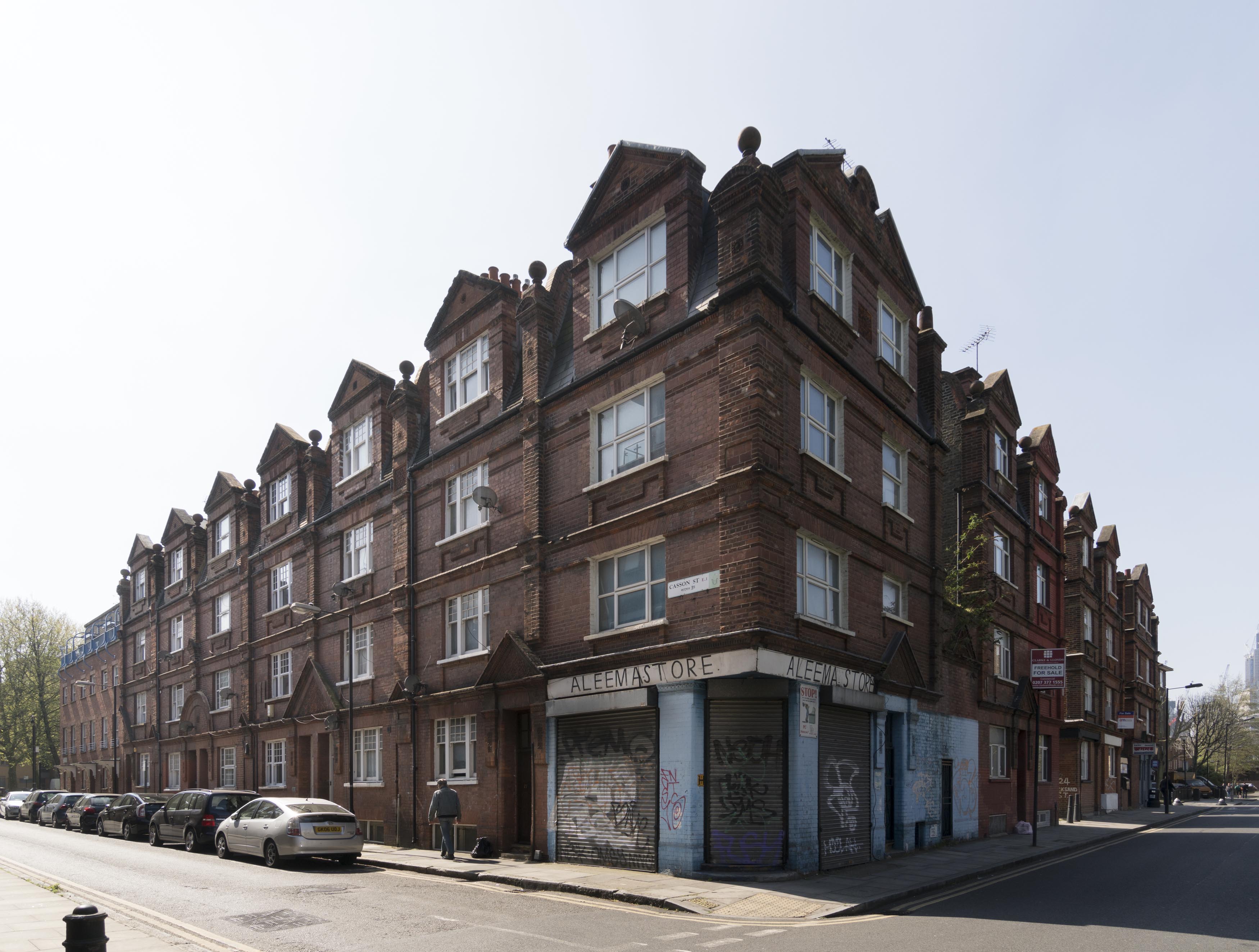
"title": "View to the Casson Street and Chicksand Street corner from the north-east in April 2017",
"author": {
"id": 27,
"username": "DerekKendall"
},
"feature": {
"id": 206,
"type": "Feature",
"geometry": {
"type": "MultiPolygon",
"coordinates": [
[
[
[
-0.068440273800361,
51.51861864564887
],
[
-0.068543681220409,
51.51859620342785
],
[
-0.06856079328264,
51.51863527571528
],
[
-0.068457031879541,
51.51866026914361
],
[
-0.068440273800361,
51.51861864564887
]
]
]
]
},
"properties": {
"b_number": "29",
"b_name": "",
"street": "Casson Street",
"address": "29 Casson Street",
"feature_type": "WHITECHAPEL_BUILDING",
"count": 10,
"search_str": "29 Casson Street"
},
"tags": []
},
"file": "https://surveyoflondon.org/media/uploads/features/206/SoL%20Whitechapel%20100611.jpg",
"description": "",
"copyright": true,
"created": "2017-05-03"
},
{
"id": 278,
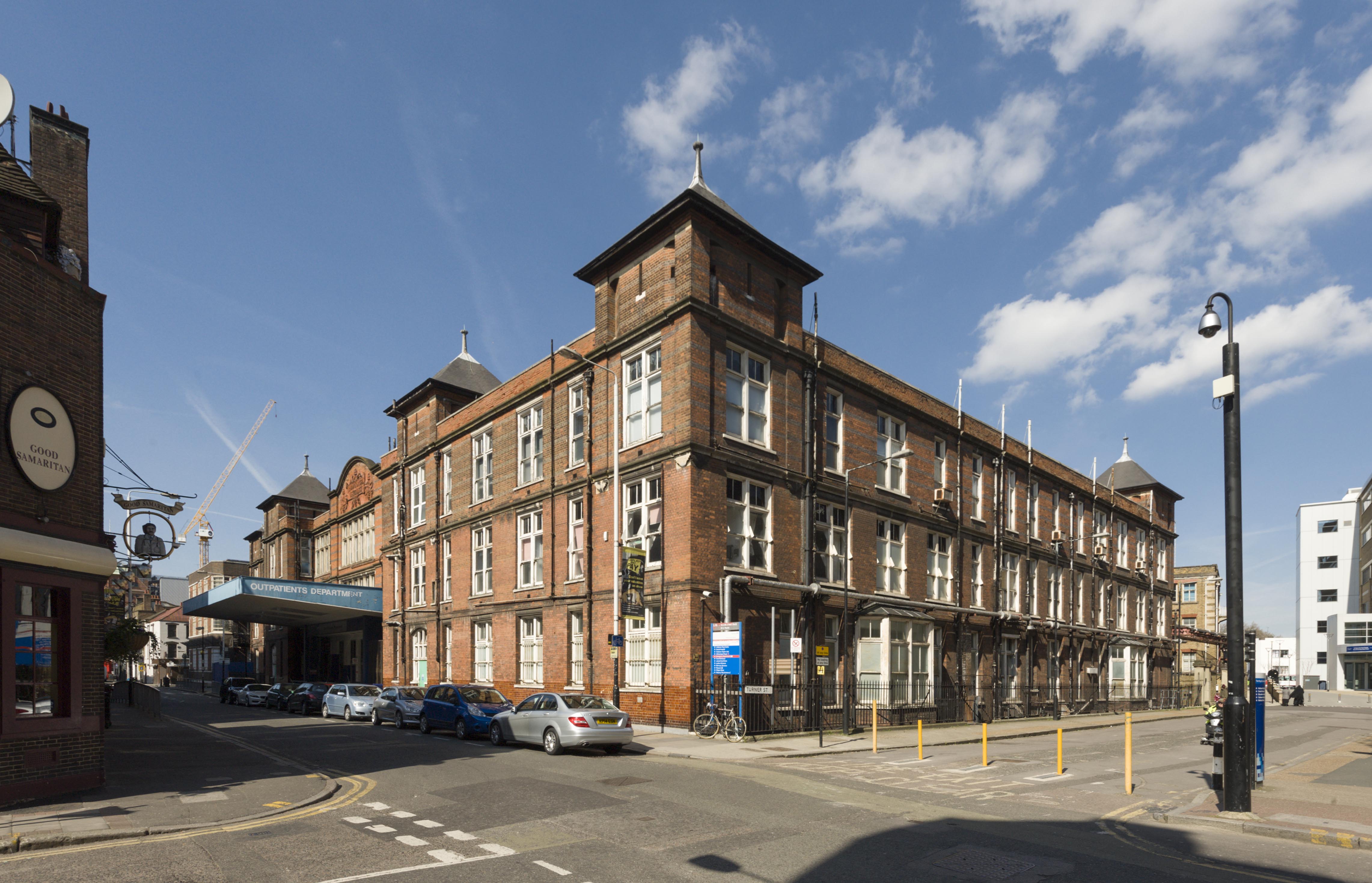
"title": "Outpatients Department from the south-east in 2016",
"author": {
"id": 27,
"username": "DerekKendall"
},
"feature": {
"id": 1188,
"type": "Feature",
"geometry": {
"type": "MultiPolygon",
"coordinates": [
[
[
[
-0.062135521845015,
51.51764176709899
],
[
-0.061842202698012,
51.517670085745486
],
[
-0.061848902036134,
51.51769938896618
],
[
-0.061550919793822,
51.51772590607731
],
[
-0.061559977080333,
51.51776552415219
],
[
-0.061447064288193,
51.51777557192973
],
[
-0.061449635978695,
51.51778682104097
],
[
-0.06118390946889,
51.51781046681395
],
[
-0.061173470769467,
51.517768252329546
],
[
-0.0611656045837,
51.517762055237526
],
[
-0.061159583649328,
51.517735562574764
],
[
-0.061165991378992,
51.51772693239806
],
[
-0.061115835114599,
51.517494904849876
],
[
-0.061108055251476,
51.51749055594055
],
[
-0.061100533853466,
51.51745850319045
],
[
-0.061102936626612,
51.5174532736114
],
[
-0.061094280097356,
51.517413095299034
],
[
-0.061827243127089,
51.517348112870636
],
[
-0.061830552360161,
51.517362587728314
],
[
-0.062066885754417,
51.51734155598123
],
[
-0.062135521845015,
51.51764176709899
]
]
]
]
},
"properties": {
"b_number": "",
"b_name": "",
"street": "Stepney Way",
"address": "Outpatients Department",
"feature_type": "WHITECHAPEL_BUILDING",
"count": 9,
"search_str": "Outpatients Department"
},
"tags": []
},
"file": "https://surveyoflondon.org/media/uploads/features/1188/SoL%20Whitechapel100105_7yM0rgA.jpg",
"description": "",
"copyright": true,
"created": "2016-08-17"
},
{
"id": 1337,
"title": "St Paul, Dock Street, Parry memorial window, north wall, August 2018",
"author": {
"id": 27,
"username": "DerekKendall"
},
"feature": {
"id": 1371,
"type": "Feature",
"geometry": {
"type": "MultiPolygon",
"coordinates": [
[
[
[
-0.068057208494737,
51.50994707934026
],
[
-0.068128144074089,
51.510098245489516
],
[
-0.067833383002716,
51.510150364911766
],
[
-0.0678086195768,
51.51009705078618
],
[
-0.067791713048129,
51.51010026052854
],
[
-0.067768418439094,
51.51005627276704
],
[
-0.06778532495294,
51.510053063027875
],
[
-0.06776230081429,
51.510002684478415
],
[
-0.068057208494737,
51.50994707934026
]
]
]
]
},
"properties": {
"b_number": "",
"b_name": "St Paul's Church",
"street": "Dock Street",
"address": "Former Church of St Paul, Dock Street",
"feature_type": "WHITECHAPEL_BUILDING",
"count": 16,
"search_str": "St Paul's Church"
},
"tags": [
"Capt. Robert J. Elliot",
"Henry Roberts",
"James Pennethorne",
"Rev. Dan Greatorex",
"Rev. Joseph Williamson",
"William Cubitt"
]
},
"file": "https://surveyoflondon.org/media/uploads/features/1371/SoL%20Whitechapel%20102116.jpg",
"description": "",
"copyright": true,
"created": "2018-08-13"
},
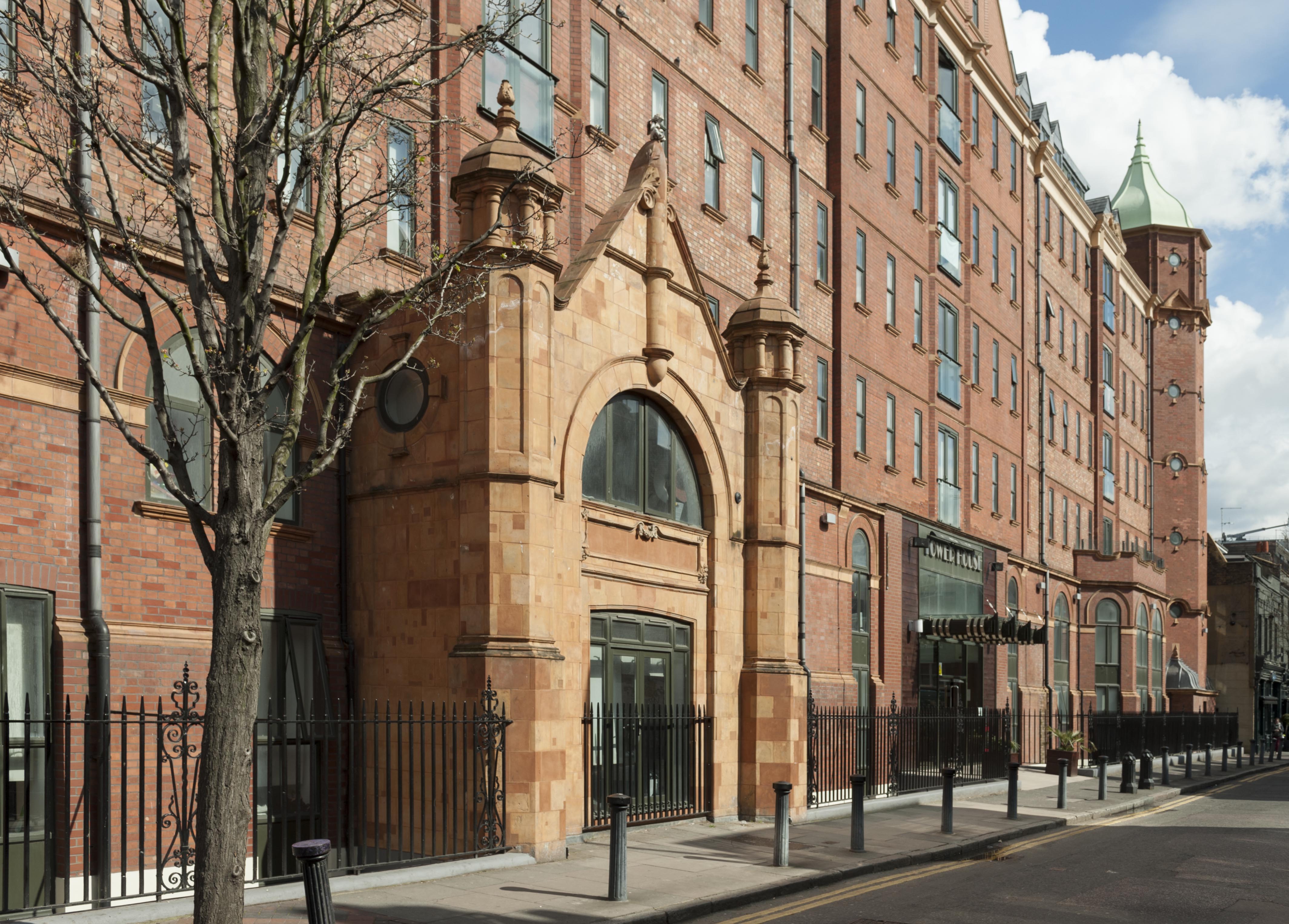
{
"id": 347,
"title": "Tower House in 2016",
"author": {
"id": 27,
"username": "DerekKendall"
},
"feature": {
"id": 839,
"type": "Feature",
"geometry": {
"type": "MultiPolygon",
"coordinates": [
[
[
[
-0.064497563558549,
51.517361628803805
],
[
-0.064496408109862,
51.51736309395909
],
[
-0.064348901589247,
51.517381493231476
],
[
-0.064343975983599,
51.51736612215419
],
[
-0.064054660314112,
51.517402209452214
],
[
-0.064059058880887,
51.517415936099994
],
[
-0.063880964779871,
51.51743814997979
],
[
-0.063877096358366,
51.517426077614196
],
[
-0.063528073193922,
51.517469610821024
],
[
-0.063478650874795,
51.517449375087956
],
[
-0.063465163734058,
51.51737222076246
],
[
-0.063672133997618,
51.51734725578329
],
[
-0.063667407479579,
51.51723290068993
],
[
-0.063724830703042,
51.51723384881843
],
[
-0.063725147296712,
51.517226384957326
],
[
-0.063667724082622,
51.517225436829115
],
[
-0.063646330595039,
51.51716533088115
],
[
-0.06369299365168,
51.51713771882066
],
[
-0.063728249907456,
51.517153239118066
],
[
-0.063773509194633,
51.517148149709364
],
[
-0.063793395289669,
51.517131845319966
],
[
-0.063867317624302,
51.51712375146289
],
[
-0.063900994386595,
51.517134287085675
],
[
-0.064225680705438,
51.51709706728731
],
[
-0.064219264541115,
51.517072344955054
],
[
-0.064310349325468,
51.51706187287984
],
[
-0.064316793729717,
51.51708593036503
],
[
-0.064372224762903,
51.517078933034306
],
[
-0.064422011504583,
51.51705414924394
],
[
-0.064459090927727,
51.517083143770165
],
[
-0.064448950765029,
51.51709642076694
],
[
-0.064497563558549,
51.517361628803805
]
]
]
]
},
"properties": {
"b_number": "81",
"b_name": "",
"street": "Fieldgate Street",
"address": "Tower House, 81 Fieldgate Street",
"feature_type": "WHITECHAPEL_BUILDING",
"count": 8,
"search_str": "Tower House, 81 Fieldgate Street"
},
"tags": []
},
"file": "https://surveyoflondon.org/media/uploads/features/839/SoL%20Whitechapel100176.jpg",
"description": "",
"copyright": true,
"created": "2016-09-02"
},
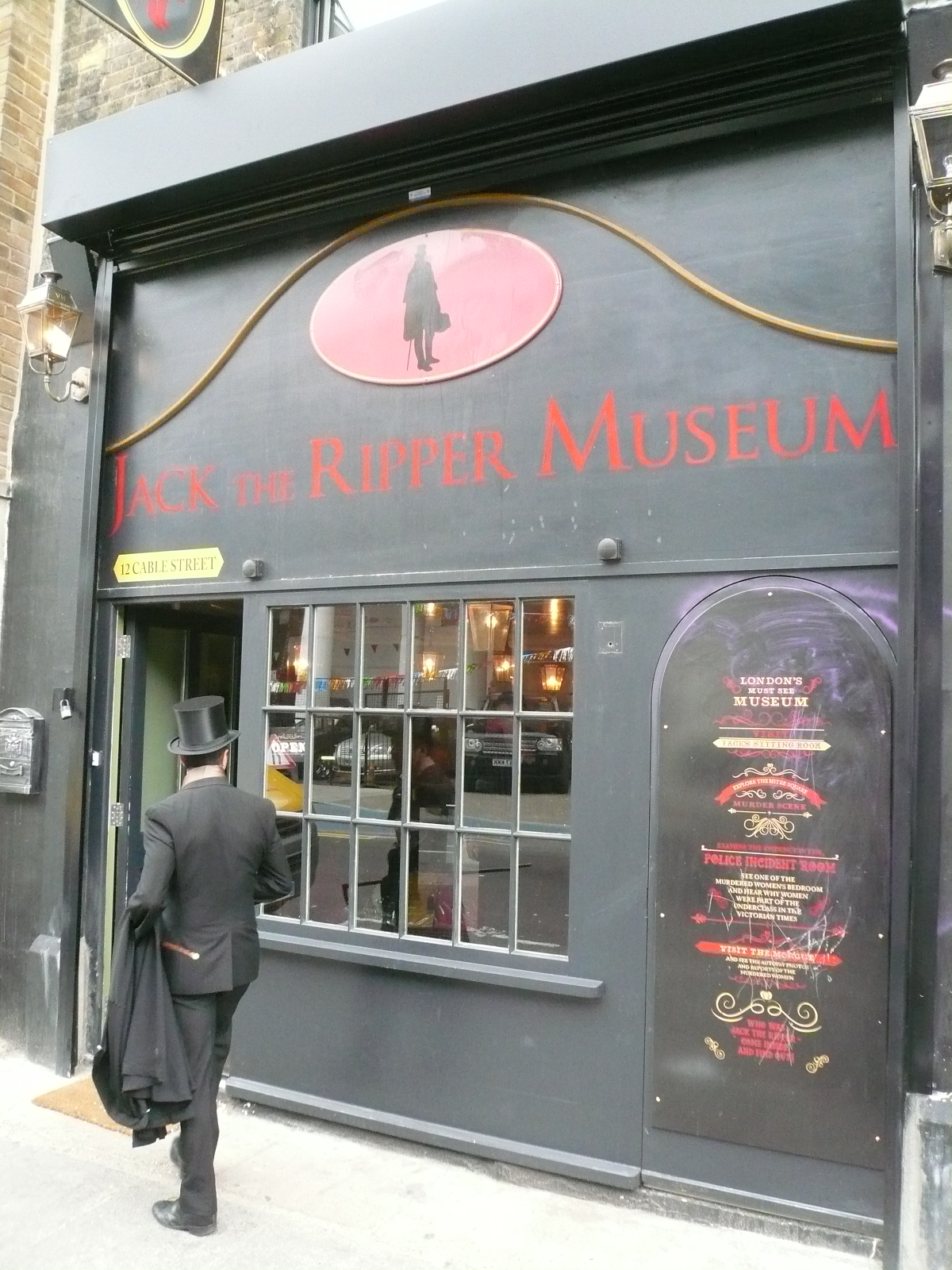
{
"id": 374,
"title": "12 Cable Street in 2015",
"author": {
"id": 10,
"username": "PGuillery"
},
"feature": {
"id": 1376,
"type": "Feature",
"geometry": {
"type": "MultiPolygon",
"coordinates": [
[
[
[
-0.067940770062805,
51.510695148477346
],
[
-0.067956121490136,
51.51075409026937
],
[
-0.067956121490136,
51.51075409026937
],
[
-0.067887886383568,
51.51075590403737
],
[
-0.067875349403458,
51.51069988445148
],
[
-0.067940770062805,
51.510695148477346
]
]
]
]
},
"properties": {
"b_number": "12",
"b_name": "Jack the Ripper Museum, 12 Cable Street",
"street": "Cable Street",
"address": "Jack the Ripper Museum, 12 Cable Street",
"feature_type": "WHITECHAPEL_BUILDING",
"count": 8,
"search_str": "Jack the Ripper Museum, 12 Cable Street"
},
"tags": [
"Charles Henry Harrod"
]
},
"file": "https://surveyoflondon.org/media/uploads/features/1376/P1160928.JPG",
"description": "",
"copyright": false,
"created": "2016-09-09"
},
{
"id": 1296,
"title": "39–45 Royal Mint Street in 2018",
"author": {
"id": 27,
"username": "DerekKendall"
},
"feature": {
"id": 1337,
"type": "Feature",
"geometry": {
"type": "MultiPolygon",
"coordinates": [
[
[
[
-0.070598440536404,
51.51035797990437
],
[
-0.070472914260628,
51.51038614263684
],
[
-0.070429675353738,
51.510313060066316
],
[
-0.070475309613511,
51.510303020228825
],
[
-0.07046282372243,
51.51028071135926
],
[
-0.070544346411086,
51.51026345087342
],
[
-0.070598440536404,
51.51035797990437
]
]
]
]
},
"properties": {
"b_number": "39",
"b_name": "",
"street": "Royal Mint Street",
"address": "39 Royal Mint Street",
"feature_type": "WHITECHAPEL_BUILDING",
"count": 8,
"search_str": "39 Royal Mint Street"
},
"tags": []
},
"file": "https://surveyoflondon.org/media/uploads/features/1337/SoL%20Whitechapel%20102033.jpg",
"description": "",
"copyright": true,
"created": "2018-08-13"
},
{
"id": 1363,
"title": "83–84 Whitechapel High Street in 2018",
"author": {
"id": 27,
"username": "DerekKendall"
},
"feature": {
"id": 316,
"type": "Feature",
"geometry": {
"type": "MultiPolygon",
"coordinates": [
[
[
[
-0.070306608348073,
51.51590379026539
],
[
-0.070402382622295,
51.515878235675025
],
[
-0.070475794745731,
51.51596525618837
],
[
-0.07038236169326,
51.51599140113509
],
[
-0.070366233397564,
51.51597619453782
],
[
-0.070306608348073,
51.51590379026539
]
]
]
]
},
"properties": {
"b_number": "83",
"b_name": "83 Whitechapel High Street",
"street": "Whitechapel High Street",
"address": "83 Whitechapel High Street",
"feature_type": "WHITECHAPEL_BUILDING",
"count": 3,
"search_str": "83 Whitechapel High Street"
},
"tags": []
},
"file": "https://surveyoflondon.org/media/uploads/features/316/SoL%20Whitechapel%20102223.jpg",
"description": "",
"copyright": true,
"created": "2018-10-10"
},
{
"id": 531,
"title": "7-11 Greatorex Street in 2001",
"author": {
"id": 2,
"username": "surveyoflondon"
},
"feature": {
"id": 282,
"type": "Feature",
"geometry": {
"type": "MultiPolygon",
"coordinates": [
[
[
[
-0.067166439426153,
51.517710385822326
],
[
-0.067530245010778,
51.51757758341182
],
[
-0.067664513450046,
51.517722482210196
],
[
-0.06729665215752,
51.517848524184735
],
[
-0.067166439426153,
51.517710385822326
]
]
]
]
},
"properties": {
"b_number": "7-11",
"b_name": "Business Development Centre, formerly Great Garden Street Synagogue and Morris Lederman House",
"street": "Greatorex Street",
"address": "7-11 Greatorex Street",
"feature_type": "WHITECHAPEL_BUILDING",
"count": 10,
"search_str": "Business Development Centre, formerly Great Garden Street Synagogue and Morris Lederman House"
},
"tags": [
"Federation of Synagogues",
"foundry",
"Morris Lederman",
"synagogue"
]
},
"file": "https://surveyoflondon.org/media/uploads/features/282/GtGardenStSynagogue.JPG",
"description": "",
"copyright": false,
"created": "2017-03-31"
},
{
"id": 364,
"title": "20-44 John Fisher Street from the south-east in 2015",
"author": {
"id": 31,
"username": "LucyMW"
},
"feature": {
"id": 1336,
"type": "Feature",
"geometry": {
"type": "MultiPolygon",
"coordinates": [
[
[
[
-0.069215937967207,
51.509432857185416
],
[
-0.069149831016424,
51.50931545434316
],
[
-0.069142444260458,
51.5092994730901
],
[
-0.069211381727579,
51.50928531108528
],
[
-0.069254703359243,
51.50936407337471
],
[
-0.069261294729842,
51.509372989789455
],
[
-0.069218507108786,
51.50938204104384
],
[
-0.069239622127935,
51.50942803642135
],
[
-0.069215937967207,
51.509432857185416
]
]
]
]
},
"properties": {
"b_number": "29",
"b_name": "",
"street": "John Fisher Street",
"address": "29 John Fisher Street on the Royal Mint Estate",
"feature_type": "WHITECHAPEL_BUILDING",
"count": 7,
"search_str": "29 John Fisher Street on the Royal Mint Estate"
},
"tags": []
},
"file": "https://surveyoflondon.org/media/uploads/features/1336/DP179975%20-%2034-44%20John%20Fisher%20Street.jpg",
"description": "",
"copyright": true,
"created": "2016-09-05"
},
{
"id": 365,
"title": "20-44 John Fisher Street from the south-east in 2015",
"author": {
"id": 31,
"username": "LucyMW"
},
"feature": {
"id": 1335,
"type": "Feature",
"geometry": {
"type": "MultiPolygon",
"coordinates": [
[
[
[
-0.069254703359243,
51.50936407337471
],
[
-0.069211381727579,
51.50928531108528
],
[
-0.069202854722793,
51.50926886270343
],
[
-0.069266509495498,
51.50925700617262
],
[
-0.069316185105455,
51.5093526065146
],
[
-0.069254703359243,
51.50936407337471
]
]
]
]
},
"properties": {
"b_number": "32-36",
"b_name": "",
"street": "John Fisher Street",
"address": "32-36 John Fisher Street on the Royal Mint Estate",
"feature_type": "WHITECHAPEL_BUILDING",
"count": 7,
"search_str": "32-36 John Fisher Street on the Royal Mint Estate"
},
"tags": []
},
"file": "https://surveyoflondon.org/media/uploads/features/1335/DP179975%20-%2034-44%20John%20Fisher%20Street.jpg",
"description": "",
"copyright": true,
"created": "2016-09-05"
},
{
"id": 366,
"title": "20-44 John Fisher Street from the south-east in 2015",
"author": {
"id": 31,
"username": "LucyMW"
},
"feature": {
"id": 1333,
"type": "Feature",
"geometry": {
"type": "MultiPolygon",
"coordinates": [
[
[
[
-0.069340923690432,
51.50922083055847
],
[
-0.069381048778928,
51.509313736540676
],
[
-0.069357364600105,
51.5093178937839
],
[
-0.069375227397361,
51.509360158695934
],
[
-0.069324219196905,
51.50936934507711
],
[
-0.069316185105455,
51.5093526065146
],
[
-0.069266509495498,
51.50925700617262
],
[
-0.069257269883585,
51.50923747876043
],
[
-0.069340923690432,
51.50922083055847
]
]
]
]
},
"properties": {
"b_number": "33-37",
"b_name": "",
"street": "John Fisher Street",
"address": "33-37 John Fisher Street on the Royal Mint Estate",
"feature_type": "WHITECHAPEL_BUILDING",
"count": 7,
"search_str": "33-37 John Fisher Street on the Royal Mint Estate"
},
"tags": []
},
"file": "https://surveyoflondon.org/media/uploads/features/1333/DP179975%20-%2034-44%20John%20Fisher%20Street.jpg",
"description": "",
"copyright": true,
"created": "2016-09-05"
}
]
}