HTTP 200 OK
Allow: GET, HEAD, OPTIONS
Content-Type: application/json
Vary: Accept
{
"count": 1747,
"next": "https://surveyoflondon.org/api/v1/images/?format=api&page=11",
"previous": "https://surveyoflondon.org/api/v1/images/?format=api&page=9",
"results": [
{
"id": 593,
"title": "16-28 Brick Lane from the north-west in April 2017",
"author": {
"id": 27,
"username": "DerekKendall"
},
"feature": {
"id": 218,
"type": "Feature",
"geometry": {
"type": "MultiPolygon",
"coordinates": [
[
[
[
-0.07089655742317,
51.51806765103511
],
[
-0.071080326253025,
51.51803416250795
],
[
-0.071080333070657,
51.51803415677941
],
[
-0.071107064020458,
51.518087955834254
],
[
-0.071056826605806,
51.518096175669456
],
[
-0.071062742794749,
51.51810628478762
],
[
-0.070973534855805,
51.51812391784494
],
[
-0.070968598725945,
51.51811374637251
],
[
-0.07092337687654,
51.518121008800655
],
[
-0.07089655742317,
51.51806765103511
]
]
]
]
},
"properties": {
"b_number": "28",
"b_name": "",
"street": "Brick Lane",
"address": "28 Brick Lane",
"feature_type": "WHITECHAPEL_BUILDING",
"count": 13,
"search_str": "28 Brick Lane"
},
"tags": []
},
"file": "https://surveyoflondon.org/media/uploads/features/218/SoL%20Whitechapel%20100672.jpg",
"description": "",
"copyright": true,
"created": "2017-05-03"
},
{
"id": 494,
"title": "Previous houses ready for demolition",
"author": {
"id": 100,
"username": "GaryH"
},
"feature": {
"id": 1113,
"type": "Feature",
"geometry": {
"type": "MultiPolygon",
"coordinates": [
[
[
[
-0.061607346332277,
51.51553563001084
],
[
-0.061586767870221,
51.515447751195836
],
[
-0.061672403983792,
51.51544011422989
],
[
-0.061684159641775,
51.51549142984156
],
[
-0.061642808839438,
51.515495437781325
],
[
-0.061651828487578,
51.515531663133565
],
[
-0.061607346332277,
51.51553563001084
]
]
]
]
},
"properties": {
"b_number": "2",
"b_name": "",
"street": "Varden Street",
"address": "2 Varden Street",
"feature_type": "WHITECHAPEL_BUILDING",
"count": 1,
"search_str": "2 Varden Street"
},
"tags": []
},
"file": "https://surveyoflondon.org/media/uploads/features/1113/Varden%20St.jpg",
"description": "",
"copyright": false,
"created": "2017-02-16"
},
{
"id": 349,
"title": "Whitechapel Play Area",
"author": {
"id": 36,
"username": "JuditFerencz"
},
"feature": {
"id": 1697,
"type": "Feature",
"geometry": {
"type": "MultiPolygon",
"coordinates": [
[
[
[
-0.069625146435504,
51.5101995248327
],
[
-0.069504272040663,
51.510226070184906
],
[
-0.069384532410273,
51.510005994072415
],
[
-0.069505440296453,
51.50997923388867
],
[
-0.069625146435504,
51.5101995248327
]
]
]
]
},
"properties": {
"b_number": "",
"b_name": "Peabody Estate Whitechapel",
"street": "",
"address": "Play Area, Peabody Estate Whitechapel",
"feature_type": "PLACE",
"count": 10,
"search_str": "Peabody Estate Whitechapel"
},
"tags": []
},
"file": "https://surveyoflondon.org/media/uploads/features/1697/Peabody_w.jpg",
"description": "",
"copyright": true,
"created": "2016-09-02"
},
{
"id": 89,
"title": "2-8 Whitechapel Road with 40 Adler Street",
"author": {
"id": 27,
"username": "DerekKendall"
},
"feature": {
"id": 145,
"type": "Feature",
"geometry": {
"type": "MultiPolygon",
"coordinates": [
[
[
[
-0.067438878078407,
51.51626048776608
],
[
-0.067736964788515,
51.51614633139776
],
[
-0.067736975376783,
51.51614633297866
],
[
-0.068162873880285,
51.516578971968116
],
[
-0.068015152398359,
51.5166409265401
],
[
-0.067898951070216,
51.516535567083395
],
[
-0.067749868829072,
51.51660024858242
],
[
-0.067727076343935,
51.516580194496996
],
[
-0.067678054021065,
51.51659801606037
],
[
-0.067602032053382,
51.516516614054154
],
[
-0.067658800891649,
51.51649597633206
],
[
-0.067438878078407,
51.51626048776608
]
]
]
]
},
"properties": {
"b_number": "2",
"b_name": "",
"street": "Whitechapel Road",
"address": "2 Whitechapel Road with 40 Adler Street",
"feature_type": "WHITECHAPEL_BUILDING",
"count": 7,
"search_str": "2 Whitechapel Road with 40 Adler Street"
},
"tags": [
"Buck & Hickman"
]
},
"file": "https://surveyoflondon.org/media/uploads/features/145/SoL%20Whitechapel100256.jpg",
"description": "",
"copyright": true,
"created": "2016-06-27"
},
{
"id": 477,
"title": "Friends' burial ground in Whitechapel (now Vallance Gardens)",
"author": {
"id": 71,
"username": "leannenewman"
},
"feature": {
"id": 1467,
"type": "Feature",
"geometry": {
"type": "MultiPolygon",
"coordinates": [
[
[
[
-0.063637365155788,
51.520282636147805
],
[
-0.063617921903998,
51.52019999107146
],
[
-0.063638954996299,
51.520155000479626
],
[
-0.063284069057324,
51.51963968568205
],
[
-0.063218192990573,
51.519614735713624
],
[
-0.063063889912999,
51.51964559416041
],
[
-0.062380927282911,
51.51983117403429
],
[
-0.062339901924133,
51.51986928060906
],
[
-0.06243109703064,
51.52030321498713
],
[
-0.062463971180122,
51.520352738646885
],
[
-0.062533670101397,
51.520377752188836
],
[
-0.062893667600007,
51.520366995627946
],
[
-0.063637365155788,
51.520282636147805
]
]
]
]
},
"properties": {
"b_number": "",
"b_name": "",
"street": "",
"address": "Vallance Gardens, Vallance Road",
"feature_type": "OPEN_SPACE",
"count": 5,
"search_str": "Vallance Gardens, Vallance Road"
},
"tags": []
},
"file": "https://surveyoflondon.org/media/uploads/features/1467/Bakers%20Rows%20Park%201886%20copy.jpg",
"description": "Image from Mrs Basil Holmes, London Burial Grounds: Notes on their history from earliest times to the present day, Macmillan, 1896.",
"copyright": false,
"created": "2017-01-09"
},
{
"id": 486,
"title": "6-16 Walden Street (south side)",
"author": {
"id": 21,
"username": "IsobelWatson"
},
"feature": {
"id": 1257,
"type": "Feature",
"geometry": {
"type": "MultiPolygon",
"coordinates": [
[
[
[
-0.061379221561462,
51.51592493195014
],
[
-0.061397058351041,
51.5159973079162
],
[
-0.061328769815982,
51.51600382343807
],
[
-0.061310941705599,
51.51593148241871
],
[
-0.061379221561462,
51.51592493195014
]
]
]
]
},
"properties": {
"b_number": "16",
"b_name": "",
"street": "Walden Street",
"address": "16 Walden Street",
"feature_type": "WHITECHAPEL_BUILDING",
"count": 4,
"search_str": "16 Walden Street"
},
"tags": []
},
"file": "https://surveyoflondon.org/media/uploads/features/1257/Walden%20St%206-16%20(even)%201980s%20.jpg",
"description": "A mid-1980s shot of part of the recently redeveloped site.",
"copyright": false,
"created": "2017-01-23"
},
{
"id": 777,
"title": "57-59 Mansell Street, August 2017",
"author": {
"id": 27,
"username": "DerekKendall"
},
"feature": {
"id": 43,
"type": "Feature",
"geometry": {
"type": "MultiPolygon",
"coordinates": [
[
[
[
-0.072901895131857,
51.51278418159471
],
[
-0.07288530915275,
51.512691065335744
],
[
-0.073069277085111,
51.51268422010561
],
[
-0.073088622849378,
51.51277340551623
],
[
-0.072901895131857,
51.51278418159471
]
]
]
]
},
"properties": {
"b_number": "57",
"b_name": "",
"street": "Mansell Street",
"address": "57 Mansell Street",
"feature_type": "WHITECHAPEL_BUILDING",
"count": 4,
"search_str": "57 Mansell Street"
},
"tags": []
},
"file": "https://surveyoflondon.org/media/uploads/features/43/SoL%20Whitechapel%20101499.jpg",
"description": "",
"copyright": true,
"created": "2017-09-12"
},
{
"id": 838,
"title": "Elevation, August 2017",
"author": {
"id": 27,
"username": "DerekKendall"
},
"feature": {
"id": 48,
"type": "Feature",
"geometry": {
"type": "MultiPolygon",
"coordinates": [
[
[
[
-0.07280710422232,
51.512484017010344
],
[
-0.072827206559205,
51.51259119025736
],
[
-0.072615549020755,
51.512600468757675
],
[
-0.072596217058645,
51.51249938474546
],
[
-0.07280710422232,
51.512484017010344
]
]
]
]
},
"properties": {
"b_number": "25",
"b_name": "",
"street": "West Tenter Street",
"address": "25 West Tenter Street",
"feature_type": "WHITECHAPEL_BUILDING",
"count": 2,
"search_str": "25 West Tenter Street"
},
"tags": []
},
"file": "https://surveyoflondon.org/media/uploads/features/48/SoL%20Whitechapel%20101574_Zozww2V.jpg",
"description": "",
"copyright": true,
"created": "2017-09-12"
},
{
"id": 839,
"title": "Looking south west down West Tenter Street, August 2017",
"author": {
"id": 27,
"username": "DerekKendall"
},
"feature": {
"id": 48,
"type": "Feature",
"geometry": {
"type": "MultiPolygon",
"coordinates": [
[
[
[
-0.07280710422232,
51.512484017010344
],
[
-0.072827206559205,
51.51259119025736
],
[
-0.072615549020755,
51.512600468757675
],
[
-0.072596217058645,
51.51249938474546
],
[
-0.07280710422232,
51.512484017010344
]
]
]
]
},
"properties": {
"b_number": "25",
"b_name": "",
"street": "West Tenter Street",
"address": "25 West Tenter Street",
"feature_type": "WHITECHAPEL_BUILDING",
"count": 2,
"search_str": "25 West Tenter Street"
},
"tags": []
},
"file": "https://surveyoflondon.org/media/uploads/features/48/SoL%20Whitechapel%20101573.jpg",
"description": "",
"copyright": true,
"created": "2017-09-12"
},
{
"id": 758,
"title": "Looking north west on North Tenter Street. August 2017",
"author": {
"id": 27,
"username": "DerekKendall"
},
"feature": {
"id": 1445,
"type": "Feature",
"geometry": {
"type": "MultiPolygon",
"coordinates": [
[
[
[
-0.072200644138698,
51.51309341053552
],
[
-0.072031350878832,
51.513136000598124
],
[
-0.071952813923754,
51.51301978336744
],
[
-0.07213481269213,
51.51296291379047
],
[
-0.072200644138698,
51.51309341053552
]
]
]
]
},
"properties": {
"b_number": "18",
"b_name": "",
"street": "North Tenter Street",
"address": "18 North Tenter Street",
"feature_type": "WHITECHAPEL_BUILDING",
"count": 2,
"search_str": "18 North Tenter Street"
},
"tags": []
},
"file": "https://surveyoflondon.org/media/uploads/features/1445/SoL%20Whitechapel%20101249.jpg",
"description": "",
"copyright": true,
"created": "2017-09-12"
},
{
"id": 812,
"title": "Facade, August 2017",
"author": {
"id": 27,
"username": "DerekKendall"
},
"feature": {
"id": 34,
"type": "Feature",
"geometry": {
"type": "MultiPolygon",
"coordinates": [
[
[
[
-0.071793967944249,
51.513658648815735
],
[
-0.07171660366296,
51.51356325546861
],
[
-0.071785458230957,
51.51353968533075
],
[
-0.071865525294463,
51.513635775949055
],
[
-0.071793967944249,
51.513658648815735
]
]
]
]
},
"properties": {
"b_number": "21",
"b_name": "The White Swan",
"street": "Alie Street",
"address": "The White Swan, 21 Alie Street",
"feature_type": "WHITECHAPEL_BUILDING",
"count": 4,
"search_str": "The White Swan"
},
"tags": []
},
"file": "https://surveyoflondon.org/media/uploads/features/34/SoL%20Whitechapel%20101558_6MizA5g.jpg",
"description": "",
"copyright": true,
"created": "2017-09-12"
},
{
"id": 538,
"title": "View of Leman Street",
"author": {
"id": 27,
"username": "DerekKendall"
},
"feature": {
"id": 1437,
"type": "Feature",
"geometry": {
"type": "MultiPolygon",
"coordinates": [
[
[
[
-0.070977656579359,
51.514031042914745
],
[
-0.07097765657936,
51.514031042914745
],
[
-0.071113759773247,
51.513989212236595
],
[
-0.071172652065743,
51.51406153908406
],
[
-0.071199507836854,
51.514049282744814
],
[
-0.071265551856606,
51.51411621969721
],
[
-0.071077762376349,
51.51418738833704
],
[
-0.070964094607832,
51.51406576686303
],
[
-0.070990631361078,
51.51404698663987
],
[
-0.070977656579359,
51.514031042914745
]
]
]
]
},
"properties": {
"b_number": "28",
"b_name": "",
"street": "Leman Street",
"address": "Pennine House, 28 Leman Street",
"feature_type": "WHITECHAPEL_BUILDING",
"count": 3,
"search_str": "Pennine House, 28 Leman Street"
},
"tags": []
},
"file": "https://surveyoflondon.org/media/uploads/features/1437/SoL%20Whitechapel%20100453.jpg",
"description": "Looking north with Pennine House on the left",
"copyright": true,
"created": "2017-04-10"
},
{
"id": 594,
"title": "16-28 Brick Lane from the south-west in April 2017",
"author": {
"id": 27,
"username": "DerekKendall"
},
"feature": {
"id": 231,
"type": "Feature",
"geometry": {
"type": "MultiPolygon",
"coordinates": [
[
[
[
-0.070912031078697,
51.51775568621496
],
[
-0.07091202113034,
51.517755685741356
],
[
-0.07073731884494,
51.517788195075916
],
[
-0.07070617150517,
51.517729774483406
],
[
-0.070742730312101,
51.51772184761972
],
[
-0.070739439851872,
51.51771237190203
],
[
-0.070833659310896,
51.51769582182427
],
[
-0.070838066715741,
51.517705401801656
],
[
-0.070883760633814,
51.51769660801904
],
[
-0.070912031078697,
51.51775568621496
]
]
]
]
},
"properties": {
"b_number": "16",
"b_name": "",
"street": "Brick Lane",
"address": "16 Brick Lane",
"feature_type": "WHITECHAPEL_BUILDING",
"count": 14,
"search_str": "16 Brick Lane"
},
"tags": []
},
"file": "https://surveyoflondon.org/media/uploads/features/231/SoL%20Whitechapel%20100675.jpg",
"description": "",
"copyright": true,
"created": "2017-05-03"
},
{
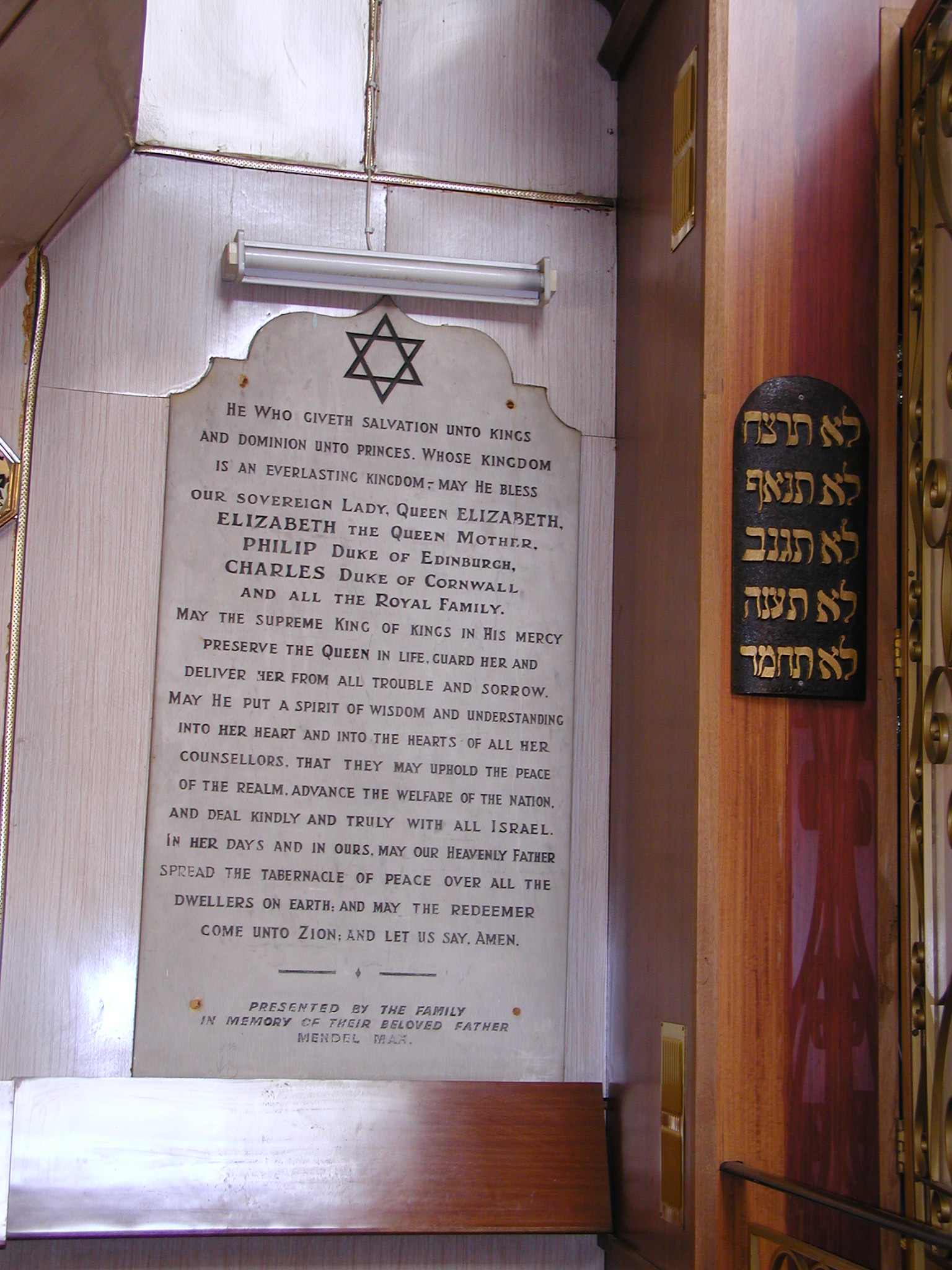
"id": 1270,
"title": "Fieldgate Street Great Synagogue in 2003, prayer board dedicated to the British Royal family",
"author": {
"id": 10,
"username": "PGuillery"
},
"feature": {
"id": 837,
"type": "Feature",
"geometry": {
"type": "MultiPolygon",
"coordinates": [
[
[
[
-0.065533721939634,
51.51703253016194
],
[
-0.065646714781391,
51.517231659604
],
[
-0.065502188596495,
51.517268409638795
],
[
-0.065426771021086,
51.51704234602821
],
[
-0.065533721939634,
51.51703253016194
]
]
]
]
},
"properties": {
"b_number": "41",
"b_name": "Former Fieldgate Street Great Synagogue",
"street": "Fieldgate Street",
"address": "Former Fieldgate Street Great Synagogue, 41 Fieldgate Street",
"feature_type": "WHITECHAPEL_BUILDING",
"count": 16,
"search_str": "Former Fieldgate Street Great Synagogue"
},
"tags": [
"synagogue"
]
},
"file": "https://surveyoflondon.org/media/uploads/features/837/P1010060.JPG",
"description": "",
"copyright": false,
"created": "2018-06-06"
},
{
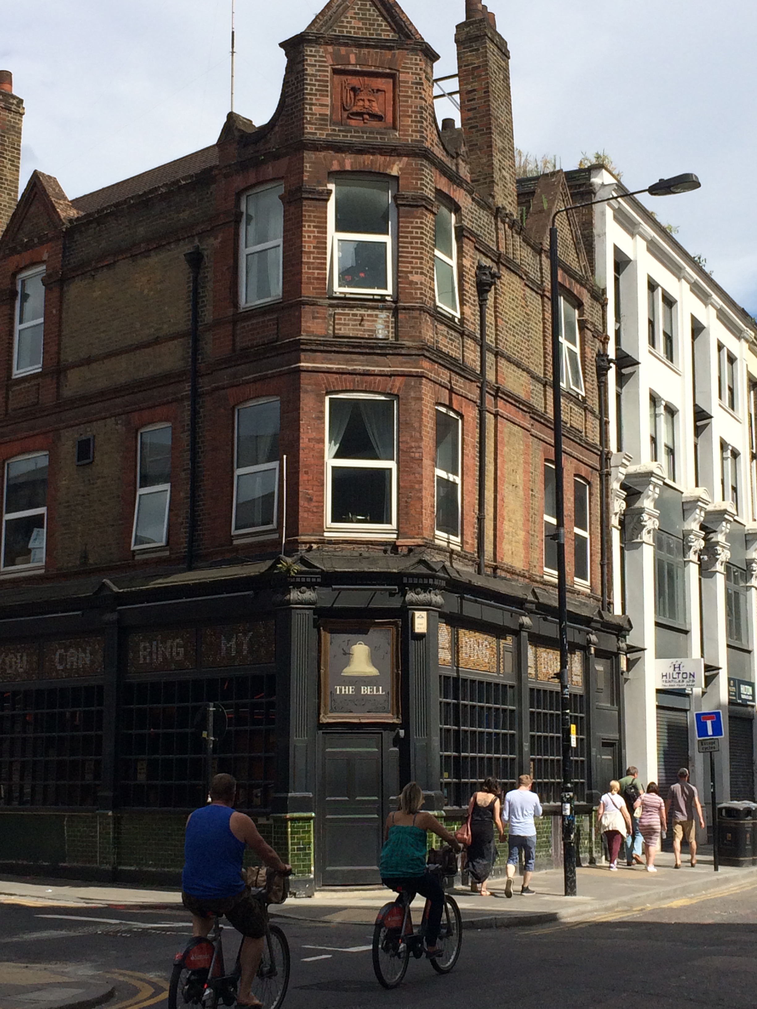
"id": 465,
"title": "The Bell, 50 Middlesex Street",
"author": {
"id": 25,
"username": "Aileen"
},
"feature": {
"id": 342,
"type": "Feature",
"geometry": {
"type": "MultiPolygon",
"coordinates": [
[
[
[
-0.075490206071596,
51.515861855458034
],
[
-0.075659057703334,
51.515761260447185
],
[
-0.075659062914062,
51.515761259453065
],
[
-0.075749282153509,
51.51581828564512
],
[
-0.075749034035063,
51.515842125205815
],
[
-0.075527961139716,
51.51590355994891
],
[
-0.075479038495002,
51.5158713869675
],
[
-0.075490214155051,
51.515861860567476
],
[
-0.075490206071596,
51.515861855458034
]
]
]
]
},
"properties": {
"b_number": "50",
"b_name": "The Bell, 50 Middlesex Street",
"street": "Middlesex Street",
"address": "The Bell, 50 Middlesex Street",
"feature_type": "WHITECHAPEL_BUILDING",
"count": 10,
"search_str": "The Bell, 50 Middlesex Street"
},
"tags": [
"house",
"public"
]
},
"file": "https://surveyoflondon.org/media/uploads/features/342/IMG_0390_VLOZogg.JPG",
"description": "",
"copyright": false,
"created": "2016-12-15"
},
{
"id": 327,
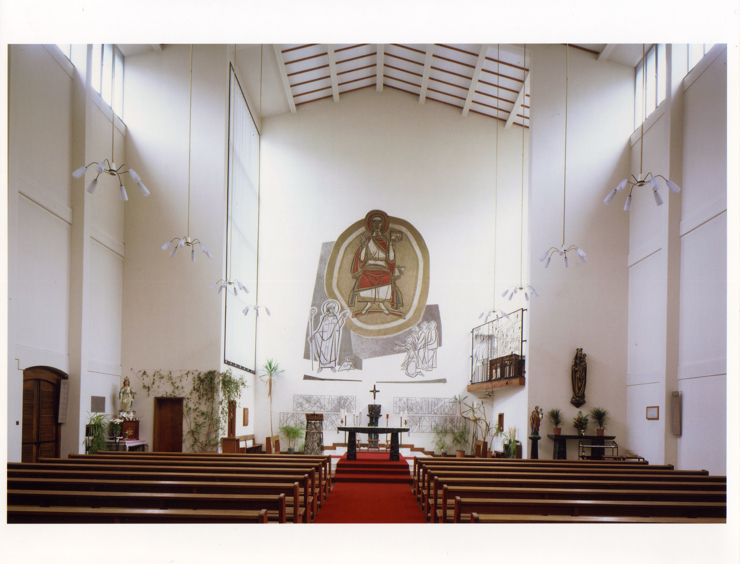
"title": "St Boniface RC Church in 2004, view to south (liturgical east)",
"author": {
"id": 2,
"username": "surveyoflondon"
},
"feature": {
"id": 308,
"type": "Feature",
"geometry": {
"type": "MultiPolygon",
"coordinates": [
[
[
[
-0.067496567815311,
51.51589253877067
],
[
-0.067329816922355,
51.51592882147948
],
[
-0.067313994004403,
51.515903740519775
],
[
-0.067285655221522,
51.51591108028059
],
[
-0.067273890464753,
51.51588586669939
],
[
-0.067248552659892,
51.51589046902255
],
[
-0.067167351332256,
51.515743576397455
],
[
-0.067193642426533,
51.51573542676791
],
[
-0.06717129258716,
51.51569502690211
],
[
-0.067371819133296,
51.51564515293278
],
[
-0.067482004602165,
51.515831045103695
],
[
-0.067463735896854,
51.51583606330445
],
[
-0.067496567815311,
51.51589253877067
]
]
]
]
},
"properties": {
"b_number": "47",
"b_name": "",
"street": "Adler Street",
"address": "St Boniface German Church, 47 Adler Street",
"feature_type": "WHITECHAPEL_BUILDING",
"count": 14,
"search_str": "St Boniface German Church, 47 Adler Street"
},
"tags": [
"Catholic Church",
"Germans"
]
},
"file": "https://surveyoflondon.org/media/uploads/features/308/St%20Boniface%20German%20RC%20Church%2C%20Adler%20Street%2C%20Whitechapel%2C%20English%20He_yatiQ7K.jpg",
"description": "",
"copyright": false,
"created": "2016-09-02"
},
{
"id": 504,
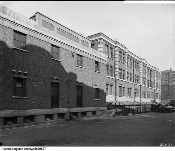
"title": "South Elevation of the Ambrose King Centre from the south-west in 1928, when it was known as the Resident Doctors' Hostel",
"author": {
"id": 37,
"username": "HistoricEngland"
},
"feature": {
"id": 1187,
"type": "Feature",
"geometry": {
"type": "MultiPolygon",
"coordinates": [
[
[
[
-0.061853613587725,
51.51795357347482
],
[
-0.061311298322689,
51.518075049965745
],
[
-0.061297685346835,
51.51805160774173
],
[
-0.061269622596728,
51.518057950858406
],
[
-0.061233454788416,
51.51799566789858
],
[
-0.061263609210615,
51.517988851994616
],
[
-0.061253110770819,
51.517970773090006
],
[
-0.061797911851981,
51.51784762820333
],
[
-0.061853613587725,
51.51795357347482
]
]
]
]
},
"properties": {
"b_number": "",
"b_name": "",
"street": "Turner Street",
"address": "Ambrose King Centre and Grahame Hayton Unit",
"feature_type": "WHITECHAPEL_BUILDING",
"count": 5,
"search_str": "Ambrose King Centre and Grahame Hayton Unit"
},
"tags": []
},
"file": "https://surveyoflondon.org/media/uploads/features/1187/thumbnail_bl29527.jpg",
"description": "Photograph by Bedford Lemere & Co., reproduced by permission of the Historic England Archive (see archive.HistoricEngland.org.uk).",
"copyright": false,
"created": "2017-02-28"
},
{
"id": 511,
"title": "Garrod Building, view of the main staircase",
"author": {
"id": 27,
"username": "DerekKendall"
},
"feature": {
"id": 1189,
"type": "Feature",
"geometry": {
"type": "MultiPolygon",
"coordinates": [
[
[
[
-0.060957318414032,
51.51782190843071
],
[
-0.060536358742238,
51.517916494366496
],
[
-0.06042382559955,
51.5177169757099
],
[
-0.060423392052643,
51.517716267459285
],
[
-0.06037583590265,
51.51772558880798
],
[
-0.060352091559155,
51.517682266082666
],
[
-0.060399184829325,
51.5176714337657
],
[
-0.060382136461735,
51.517636775872596
],
[
-0.060366794729858,
51.51763667842599
],
[
-0.060353568375337,
51.517633521256826
],
[
-0.060340249107007,
51.51762886391949
],
[
-0.060331431296148,
51.51762072004323
],
[
-0.060328691457909,
51.51761554771857
],
[
-0.060326999079391,
51.517611443342886
],
[
-0.060327382221525,
51.517606284181284
],
[
-0.060329047985828,
51.51760203725169
],
[
-0.060331232366157,
51.517597910289986
],
[
-0.060333234968373,
51.517593887621835
],
[
-0.0603394749266,
51.51758477508556
],
[
-0.060343650894546,
51.51757832358151
],
[
-0.060315667444656,
51.51752195768432
],
[
-0.060339055445574,
51.51749626222509
],
[
-0.06039972958586,
51.51748509401273
],
[
-0.060844270778094,
51.51743888994093
],
[
-0.060875340433462,
51.517555246058656
],
[
-0.060894657489377,
51.517564918111205
],
[
-0.060905236784801,
51.51757830806902
],
[
-0.060907454524091,
51.51759005281749
],
[
-0.060906490522428,
51.51760128121761
],
[
-0.060896928755295,
51.51761642472545
],
[
-0.060890333226028,
51.51762687042926
],
[
-0.060957318414032,
51.51782190843071
]
]
]
]
},
"properties": {
"b_number": "",
"b_name": "Garrod Building",
"street": "Stepney Way",
"address": "Garrod Building",
"feature_type": "WHITECHAPEL_BUILDING",
"count": 31,
"search_str": "Garrod Building"
},
"tags": []
},
"file": "https://surveyoflondon.org/media/uploads/features/1189/SoL%20Whitechapel%20100489.jpg",
"description": "",
"copyright": true,
"created": "2017-03-09"
},
{
"id": 654,
"title": "The Garrod Building from the south-west in 2017",
"author": {
"id": 27,
"username": "DerekKendall"
},
"feature": {
"id": 1189,
"type": "Feature",
"geometry": {
"type": "MultiPolygon",
"coordinates": [
[
[
[
-0.060957318414032,
51.51782190843071
],
[
-0.060536358742238,
51.517916494366496
],
[
-0.06042382559955,
51.5177169757099
],
[
-0.060423392052643,
51.517716267459285
],
[
-0.06037583590265,
51.51772558880798
],
[
-0.060352091559155,
51.517682266082666
],
[
-0.060399184829325,
51.5176714337657
],
[
-0.060382136461735,
51.517636775872596
],
[
-0.060366794729858,
51.51763667842599
],
[
-0.060353568375337,
51.517633521256826
],
[
-0.060340249107007,
51.51762886391949
],
[
-0.060331431296148,
51.51762072004323
],
[
-0.060328691457909,
51.51761554771857
],
[
-0.060326999079391,
51.517611443342886
],
[
-0.060327382221525,
51.517606284181284
],
[
-0.060329047985828,
51.51760203725169
],
[
-0.060331232366157,
51.517597910289986
],
[
-0.060333234968373,
51.517593887621835
],
[
-0.0603394749266,
51.51758477508556
],
[
-0.060343650894546,
51.51757832358151
],
[
-0.060315667444656,
51.51752195768432
],
[
-0.060339055445574,
51.51749626222509
],
[
-0.06039972958586,
51.51748509401273
],
[
-0.060844270778094,
51.51743888994093
],
[
-0.060875340433462,
51.517555246058656
],
[
-0.060894657489377,
51.517564918111205
],
[
-0.060905236784801,
51.51757830806902
],
[
-0.060907454524091,
51.51759005281749
],
[
-0.060906490522428,
51.51760128121761
],
[
-0.060896928755295,
51.51761642472545
],
[
-0.060890333226028,
51.51762687042926
],
[
-0.060957318414032,
51.51782190843071
]
]
]
]
},
"properties": {
"b_number": "",
"b_name": "Garrod Building",
"street": "Stepney Way",
"address": "Garrod Building",
"feature_type": "WHITECHAPEL_BUILDING",
"count": 31,
"search_str": "Garrod Building"
},
"tags": []
},
"file": "https://surveyoflondon.org/media/uploads/features/1189/SoL%20Whitechapel%20100538.jpg",
"description": "",
"copyright": true,
"created": "2017-05-09"
},
{
"id": 829,
"title": "South side of Alie Street with Symons House to the right, August 2017",
"author": {
"id": 27,
"username": "DerekKendall"
},
"feature": {
"id": 1401,
"type": "Feature",
"geometry": {
"type": "MultiPolygon",
"coordinates": [
[
[
[
-0.071803818959308,
51.51321795182727
],
[
-0.07186475821719,
51.513200106555054
],
[
-0.071970483076165,
51.51333036511169
],
[
-0.071824157910109,
51.51337643899112
],
[
-0.071785300317027,
51.513330877746185
],
[
-0.071755650608786,
51.5132961128473
],
[
-0.07184201717119,
51.51326398389184
],
[
-0.071803818959308,
51.51321795182727
]
]
]
]
},
"properties": {
"b_number": "22",
"b_name": "Symons House, 22 Alie Street",
"street": "Alie Street",
"address": "Symons House, 22 Alie Street",
"feature_type": "WHITECHAPEL_BUILDING",
"count": 3,
"search_str": "Symons House, 22 Alie Street"
},
"tags": []
},
"file": "https://surveyoflondon.org/media/uploads/features/1401/SoL%20Whitechapel%20101563.jpg",
"description": "",
"copyright": true,
"created": "2017-09-12"
}
]
}
%201980s%20.jpg)